Top 16 Mountain Passes around Montferrer I Castellbò
Best mountain passes around Montferrer I Castellbò are situated within the Alt Pirineu Natural Park in Catalonia, Spain. This region features diverse mountain landscapes, offering access to several notable mountain passes. The area is characterized by elevations exceeding 2,000 meters in some parts, providing terrain suitable for various outdoor activities.
Best mountain passes around Montferrer I Castellbò
- The most popular mountain passes is Port del Cantó (1,721 m), a mountain pass that marks the watershed between the Noguera Pallaresa…
Last updated: June 26, 2026
Port del Cantó (1,721 m)
Highlight • Mountain Pass
Translated by Google •
Tip by

Coll de la Gallina
Highlight • Mountain Pass
Translated by Google •
Tip by

Sign up now to discover places like this
Get recommendations on the best single tracks, peaks, & plenty of other exciting outdoor places.
Sign up for free
Coll de la Peguera
Highlight • Mountain Pass
Translated by Google •
Tip by

Port de la Rabassa / Puerto de la Rabassa
Highlight • Mountain Pass
Translated by Google •
Tip by
Coll de Creus
Highlight • Mountain Pass
Translated by Google •
Tip by

Sign up for free to discover even more mountain passes around Montferrer I Castellbò.
Sign up for free
Already have an account?
Start today with a free account
Your next adventure awaits.
Login or Signup
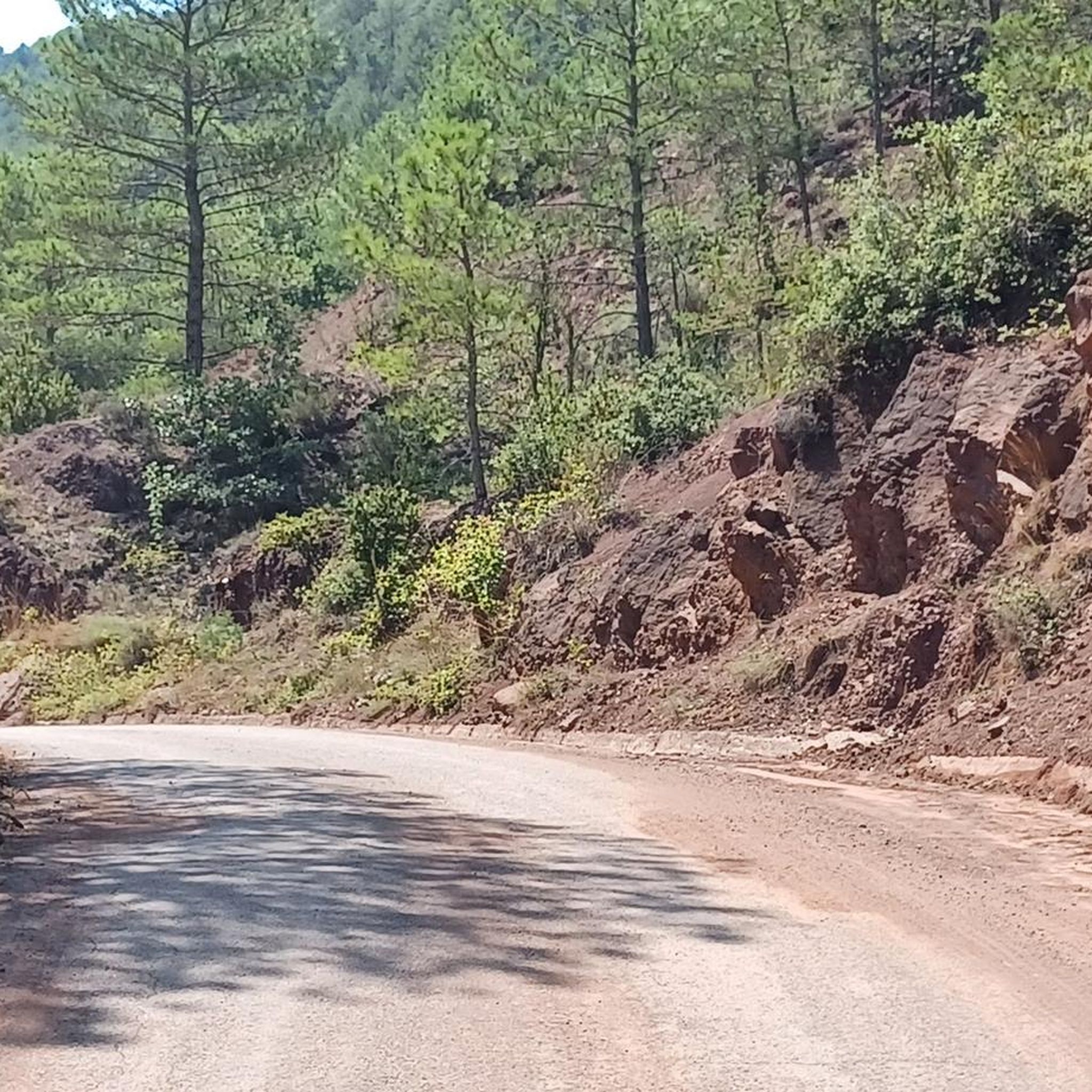
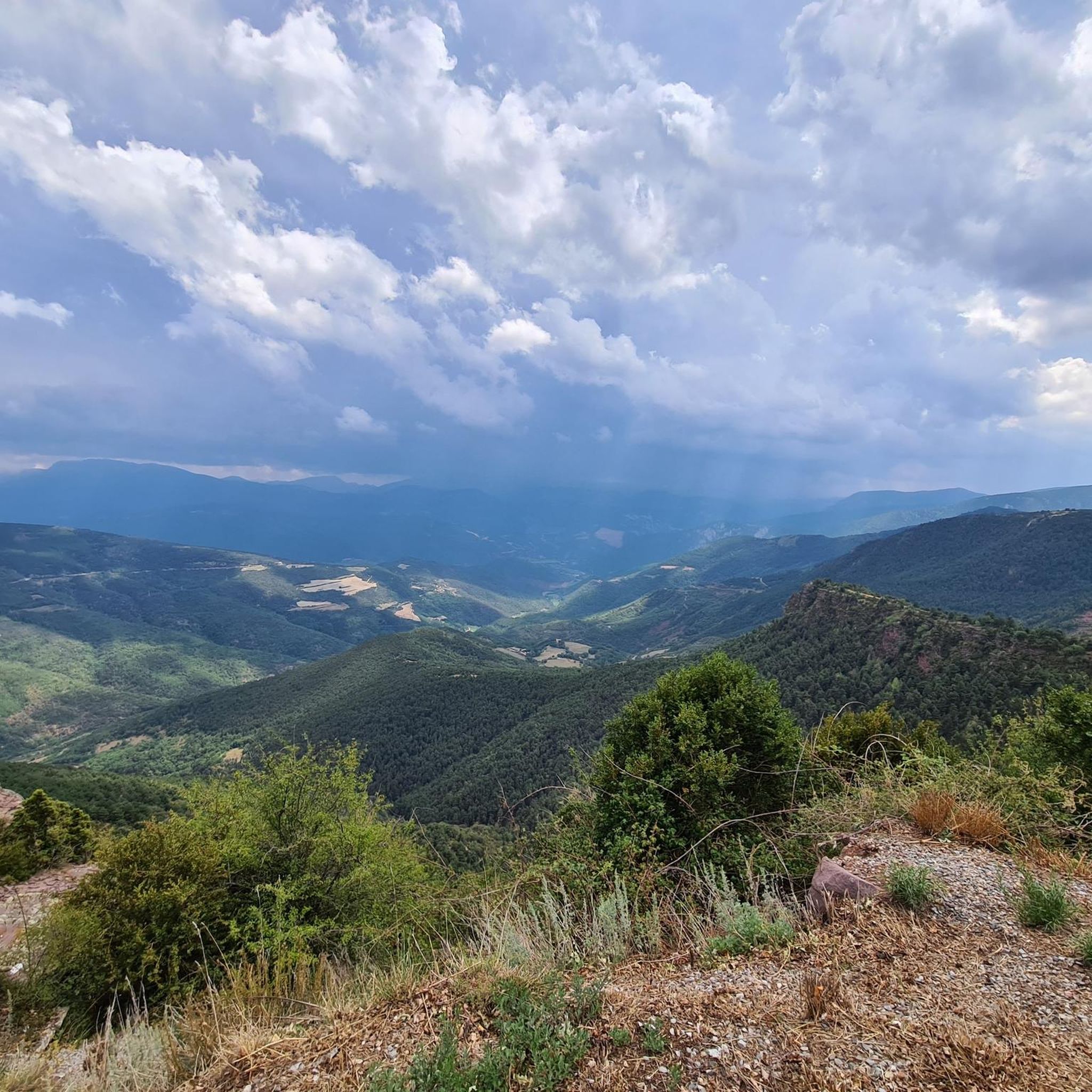

Tips from the Community

The pass summit has been reached. The climb is pleasant!
1
0
The pass summit has been reached
0
0
Poblar de Segur, the pass on the marked beautiful route
0
0

Ridden from Sort, it’s a good steady climb, with enough small variations in gradient to provide moments of relief. Great bar half way up too. The descent back to Sort is excilerating.
0
1

Spectacular harbor with incredible views of Alt Urgell and Pallars Sobirà. From Sort: Long and constant climb that does not forgive but that is allowed to be done. From Adrall: Pending to do it ;)
0
0

The Coll de Peguera is also known as Coll de la Rabassa. In fact, on the official Andorra tourism website, the name "Alt de la Rabassa" is used. And on many altimetry websites, it is also known as "Alt de la Rabassa". The two slopes are quite similar in length and hardness, differing only slightly in the steep descent of the northernmost slope that passes through Aixirivall. When you reach the top of the mountain pass, you can take a road that goes higher towards the Naturlandia mountain activities park, which is highly recommended by the way. Another curiosity is that from Naturlandia, you continue going up an unpaved road to the border with Spain, where the views are wonderful. I leave you the link to access the altimetries of @cyclingcols (the best) --> http://www.cyclingcols.com/col/Rabassa
1
0
The Coll de la Gallina is the hardest pass in the Principality of Andorra. Its two aspects are simply spectacular. It is worth climbing both slopes. Personally, I like the Fontaneda slope a little more, which is the one you climb on the "La Purito" march. I leave you the detail of the altimetry of both slopes that is published on the best website for these purposes by @cyclingcols --> http://www.cyclingcols.com/col/Gallina
0
0

We could certainly say that it is one of the most well-known mountain passes in the south of the Andorran country, along with Rabassa. The paved road does not exist historically, but was built not many years ago and helps to connect the towns of Fontaneda and Bixessarri.
0
0
Frequently Asked Questions
What makes the mountain passes around Montferrer I Castellbò unique for outdoor enthusiasts?
The mountain passes in the Montferrer I Castellbò region, nestled within the Alt Pirineu Natural Park, are renowned for their stunning mountain landscapes and challenging terrain. They offer diverse opportunities for road cycling, mountain biking, and hiking, with elevations often exceeding 2,000 meters and providing breathtaking views of the Pyrenees.
Which mountain passes offer the most challenging cycling routes?
For serious cyclists seeking a challenge, Coll de la Gallina is highly recommended. It's known as one of the toughest climbs in Andorra, featuring steep gradients and switchbacks, and has been part of major cycling events like La Vuelta a España. Another demanding option is Port de la Rabassa / Puerto de la Rabassa, which climbs to 2,037 meters with an average slope of 6.5%.
Are there any mountain passes with historical significance in the region?
Yes, Port del Cantó (1,721 m) has historical significance. It was once marked by a significant two-meter-tall standing stone, possibly a menhir, though it was destroyed in the mid-20th century. The pass has also been part of the Tour de France route in previous years, adding to its legacy.
What kind of views can I expect from the mountain passes?
The mountain passes offer spectacular panoramic views. From Port del Cantó (1,721 m), you can see the Alt Urgell and Pallars Sobirà regions. Coll de la Gallina provides breathtaking Pyrenean vistas from its 1,910-meter summit. Similarly, Port de la Rabassa / Puerto de la Rabassa offers incredible views of the Pyrenees mountain range and the Sant Julià de Lòria valley.
Which mountain passes are best for hiking?
The area around Port del Cantó (1,721 m), particularly the zone of Sant Joan de l'Erm, is integrated into the Alt Pirineu Natural Park, making it ideal for hiking amidst pine and fir forests. The region in general, with its diverse terrain and elevations, supports various hiking activities, from leisurely walks to more demanding long-distance routes. You can find many hiking routes in the area, including a moderate 10.7 km loop from Port del Cantó, which you can explore further on the Hiking around Montferrer I Castellbò guide.
What is the best time of year to visit the mountain passes around Montferrer I Castellbò?
The mountain passes are generally best visited from spring to autumn. For example, Coll de la Gallina is typically open from April to November, and sometimes longer depending on weather conditions. During these months, the weather is more favorable for cycling, motorcycling, and hiking, and the views are usually clearer.
Are there options for less experienced cyclists or hikers?
While many passes offer challenging routes, the region also provides diverse terrain. For hiking, there are moderate trails like the 'Path of Freita — High Urgell' (7 km) or a 10.7 km loop from Port del Cantó. For cycling, while passes like Coll de la Gallina are tough, the overall region offers varied routes. It's always advisable to check the difficulty ratings of specific routes before embarking. You can find more options on the Hiking around Montferrer I Castellbò guide or the MTB Trails around Montferrer I Castellbò guide.
Can I find amenities like cafes or restaurants near the mountain passes?
Yes, some passes offer amenities. For instance, near Port del Cantó (1,721 m), cyclists often find a bar halfway up for a break. At the summit of Port de la Rabassa / Puerto de la Rabassa, which is crowned in the car park of a tourist complex, there are different bars and restaurants, some open all year except in May.
Are the mountain passes suitable for families or those with dogs?
The Alt Pirineu Natural Park, where Montferrer I Castellbò is located, offers a variety of trails. While some mountain passes present challenging climbs, many areas within the park are suitable for leisurely walks through pine and fir forests, which can be enjoyable for families. When bringing dogs, it's generally recommended to keep them on a leash and ensure they are well-behaved, especially in natural park areas. Always check local regulations for specific trails.
What outdoor activities can I do near these mountain passes besides cycling and hiking?
Beyond cycling and hiking, the region offers opportunities for mountain biking and running. You can explore various MTB trails, such as the 'Lletó Loop Trail' or the 'Noves de Segre Red Route - Alto Urgell Loop', which are detailed in the MTB Trails around Montferrer I Castellbò guide. For runners, there are challenging routes like the 'Sant Joan de l'Erm Vell Ruins – Hermitage of Sant Joan de l'Erm loop' or a running loop from Port del Cantó, available in the Running Trails around Montferrer I Castellbò guide.
What are the characteristics of Coll de la Peguera?
Coll de la Peguera, also known as Alt de la Rabassa, presents a significant cycling challenge with an average slope of 6.6% over approximately 13.9 km. The steepest sections are typically in the initial kilometers. Once the climb is completed, the route can extend towards Port de la Rabassa and even higher to the Naturlandia mountain activities park, offering diverse landscapes and wonderful views towards the border with Spain.
Is there parking available at the mountain passes?
Yes, parking is generally available at or near the summits of some passes. For example, Port de la Rabassa / Puerto de la Rabassa has plenty of parking at its high-altitude tourist spot. For other passes and trailheads, it's advisable to check specific route information for parking availability.
What geological features can be observed at Coll de Creus?
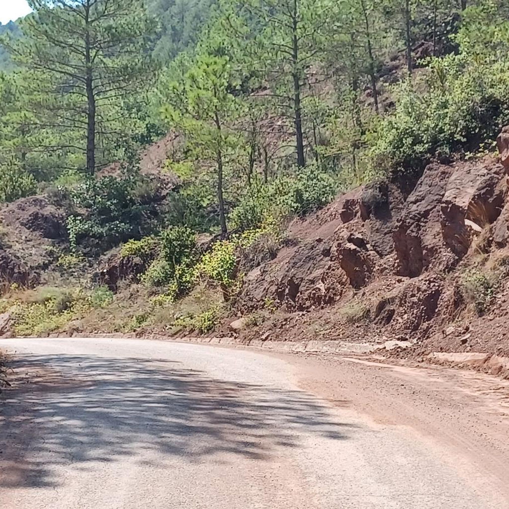
Coll de Creus, located at 1437 meters above sea level, is part of the Coll de Creus Geological Itinerary. This area is particularly interesting for its characteristic landscape of reddish rocks and their layered arrangement, offering a unique geological and aesthetic experience. It also serves as a crossroads for the GR 7 and PR-C 122 official routes.
Most popular routes around Montferrer I Castellbò
Most popular attractions around Montferrer I Castellbò

Get inspired with the komoot mobile app


Explore more
See even more epic mountain passes by checking out these guides around Montferrer I Castellbò:
