The best walks and hikes around El Pla De Santa Maria
4.6
(200)
1,317
hikers
117
hikes
Hiking around El Pla De Santa Maria offers diverse landscapes at the base of the Catalan pre-coastal mountain ranges, including the Miramar and Cogulló sierras. The area features plains dotted with vineyards and olive trees, providing picturesque routes. Wetlands behind the industrial area attract various bird species, and several streams contribute to the natural drainage. This varied topography supports a range of hiking experiences.
Best hiking trails around El Pla De Santa Maria
- The most popular hiking route is Cistercian…
Last updated: July 1, 2026
4.5
(10)
24
hikers
9.12km
02:28
120m
120m
Moderate hike. Good fitness required. Easily-accessible paths. Suitable for all skill levels.
4.8
(9)
76
hikers
6.09km
01:39
90m
90m
Easy hike. Great for any fitness level. Easily-accessible paths. Suitable for all skill levels.

Sign up for free
5.0
(4)
19
hikers
10.5km
03:18
410m
410m
Moderate hike. Good fitness required. Easily-accessible paths. Suitable for all skill levels.
5.0
(3)
25
hikers
12.9km
03:58
380m
380m
Moderate hike. Good fitness required. Mostly accessible paths. Sure-footedness required.
4.5
(2)
22
hikers
10.2km
03:11
390m
390m
Moderate hike. Good fitness required. Easily-accessible paths. Suitable for all skill levels.
Get access to more routes and recommendations from other explorers.
Sign up for free
Already have an account?
Our route recommendations are based on thousands of hikes, rides, and runs completed by other people on komoot.
Start today with a free account
Your next adventure awaits.
Login or Signup
Popular around El Pla De Santa Maria

Other adventures around El Pla De Santa Maria

Tips from the Community

It's worth it, it's a Cistercian monastery
0
0

Magnificent port. Good condition, good terrain and incredible views.
0
0

Tough loose cli.b, Best done in cool conditions. Can be very 🔥. Loose descent on the west side, but great track
0
0

Yes, it is a summit with a selfie pole, for solo hikers without a tripod 😜
0
0


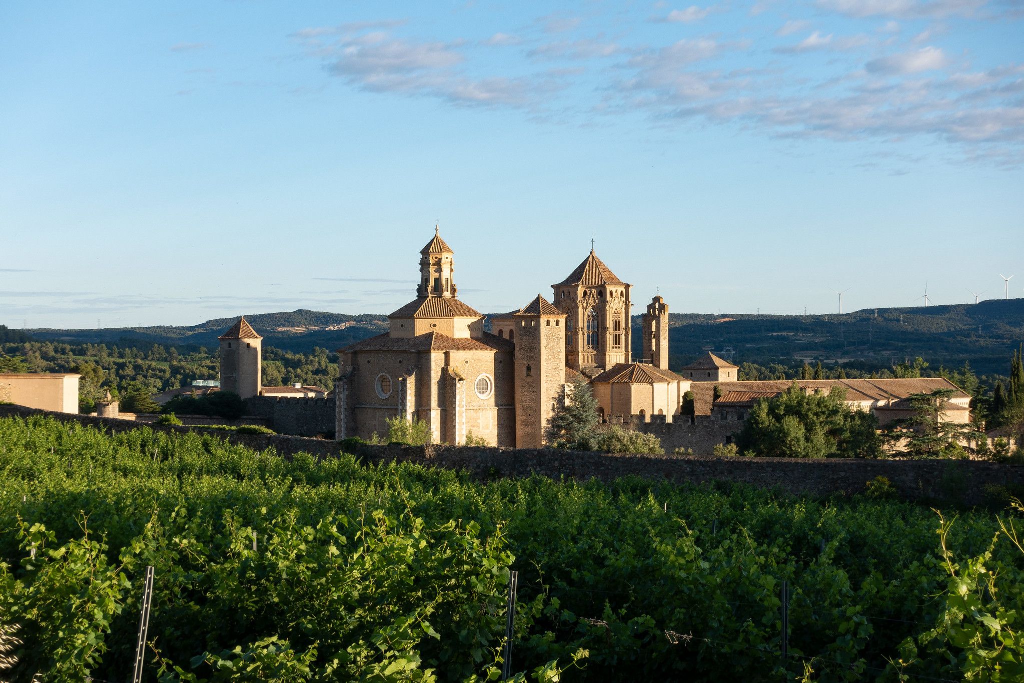
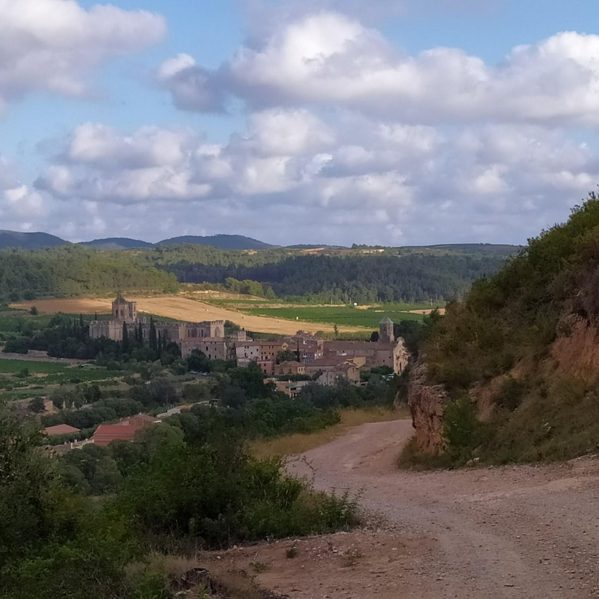
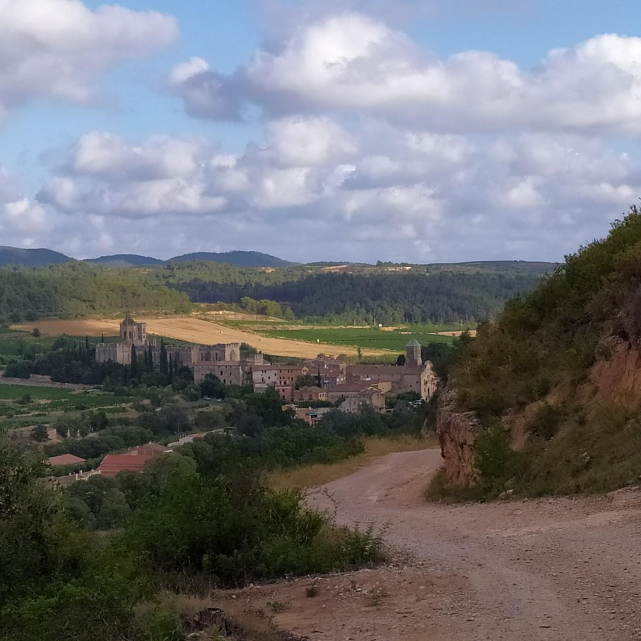
The Monastery of Santa María de Santes Creus is a Cistercian abbey built in the 12th century. The grandeur of the monastery is due to the donations received from the nobility who wanted to be buried here.
1
0

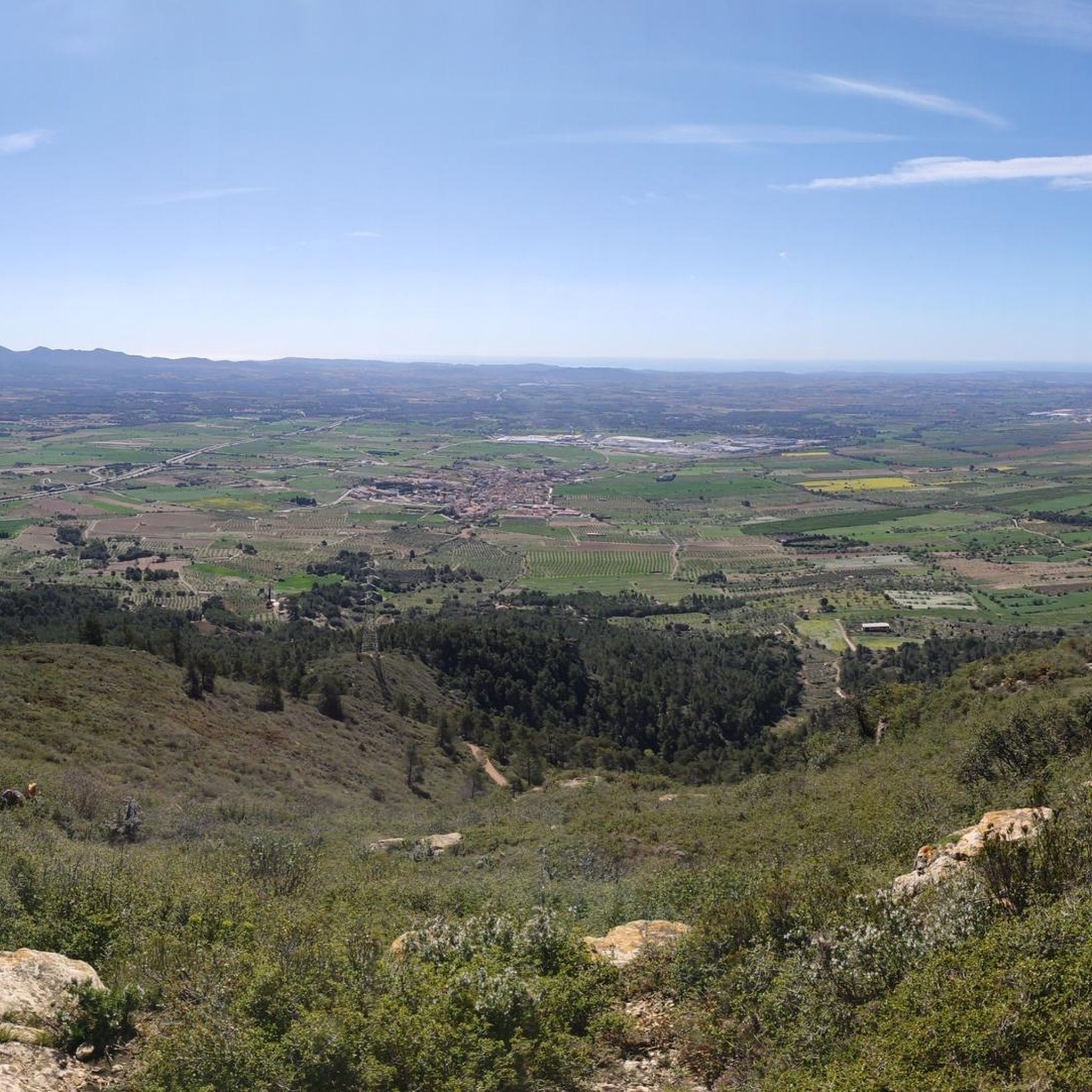
El Roc del Cogulló is one of the peaks of the Sierra de Comaverd, although with its 879 meters, it is not the highest of this mountain range, being the Cogulló de Cabra, located about 390 meters to the northeast. From the viewpoint you have a spectacular view of the Conca de Barberà region, with the plain of Poblet in the foreground and the Sierra del Tallat in the background.
1
0
The ruins of the castle of Prenafeta (11th century) also include part of the original nucleus of the population of Prenafeta. You can still see remains of the castle, the church and the fountain of Sant Salvador. The castle is also known as Torre del Moro.
0
0
Frequently Asked Questions
What types of landscapes can I expect to see while hiking around El Pla de Santa Maria?
The region offers diverse landscapes, from plains dotted with vineyards and olive trees to the base of the Catalan pre-coastal mountain ranges, including the Miramar and Cogulló sierras. You'll also find wetlands that attract various bird species and several streams contributing to the natural drainage.
Are there any easy hiking trails suitable for beginners or families in El Pla de Santa Maria?
Yes, there are several easy routes. For instance, the El Pont d'Armentera loop from el Pont d'Armentera is an easy 3.8-mile (6.1 km) path that winds through agricultural landscapes and along local streams, perfect for a relaxed outing.
What are some notable historical or cultural attractions I can visit while hiking in the area?
El Pla de Santa Maria is known as the 'capital of dry stone,' an ancient construction method. You can explore the Dry Stone Route to see numerous dry stone constructions. Additionally, the historic Royal Monastery of Santes Creus, a 12th-century Cistercian abbey, is a significant cultural attraction accessible via routes like the Cistercian Route: Santes Creus Circular.
Are there any circular hiking routes available in El Pla de Santa Maria?
Yes, many routes are circular. The Cistercian Route: Santes Creus Circular is a popular moderate option. Another is the Prenafeta Castle – Coll de Coloma Pass loop from Figuerola del Camp, offering varied terrain and views.
What do other hikers enjoy most about the trails in El Pla de Santa Maria?
The area is highly rated by the komoot community, with an average score of 4.6 stars from over 190 reviews. Hikers often praise the varied terrain, from serene plains to mountain views, and the opportunity to discover historical elements like dry stone constructions and ancient monasteries.
Are there any trails that offer good viewpoints or panoramic vistas?
Yes, routes like the Roc del Cogulló Viewpoint – Cabra del Camp loop from Cabra del Camp are designed to take you to elevated spots, providing excellent views of the surrounding pre-coastal mountain ranges and plains.
What is the typical duration for a moderate hike in this region?
Moderate hikes in El Pla de Santa Maria can vary. For example, the Cistercian Route: Santes Creus Circular, which is 5.7 miles (9.1 km), typically takes around 2 hours 28 minutes. Longer moderate trails, like the 6.5-mile (10.4 km) Prenafeta Castle – Coll de Coloma Pass loop, can take about 3 hours 16 minutes.
Are there any specific trails that highlight the dry stone architecture of the region?
Absolutely. El Pla de Santa Maria is famous for its dry stone constructions. The Dry Stone Route, also known as the Capona Route, is specifically designed to showcase numerous examples of this ancient building technique, including shelters and terraces, over a two-kilometer stretch.
What kind of elevation changes can I expect on the trails?
The elevation changes vary significantly depending on the trail's difficulty. Easy routes might have minimal gains, while moderate trails can feature ascents of several hundred meters. For instance, the Figuerola del Camp – Tossal Gros (867 m) loop involves an elevation gain of nearly 400 meters, offering a good workout.
Are there any trails that pass by significant natural features like rivers or wetlands?
Yes, the area's natural drainage system includes several streams and torrents that feed into the Francolí river. You can find routes that wind along these waterways. Additionally, the wetlands located behind the industrial area are a beautiful natural space attracting numerous bird species, offering a unique natural feature to explore.
Can I find trails that connect to other regions or longer routes?
Yes, some local routes are part of larger networks. For example, the Capona Route, which highlights dry stone architecture, is also integrated into the larger Ruta dels Reials Monestirs de Catalunya (GR 175), allowing for extended hiking opportunities beyond the immediate vicinity of El Pla de Santa Maria.
Most popular routes around El Pla De Santa Maria
Most popular attractions around El Pla De Santa Maria

Get inspired with the komoot mobile app


Explore more
Browse the best Hikes in other regions.
