The best walks and hikes around Moralzarzal
4.5
(286)
945
hikers
34
hikes
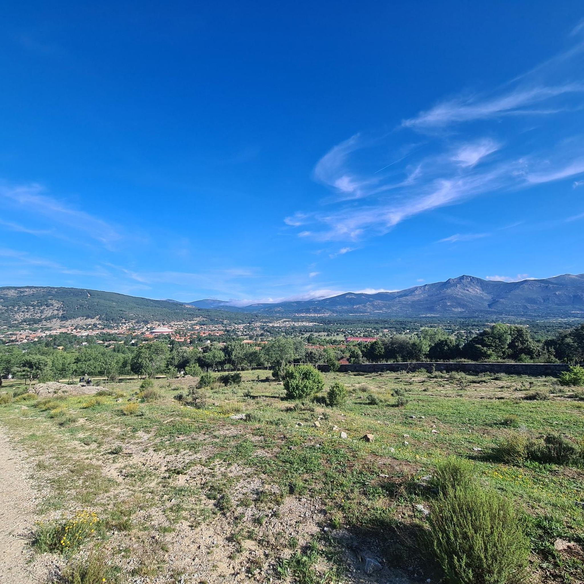
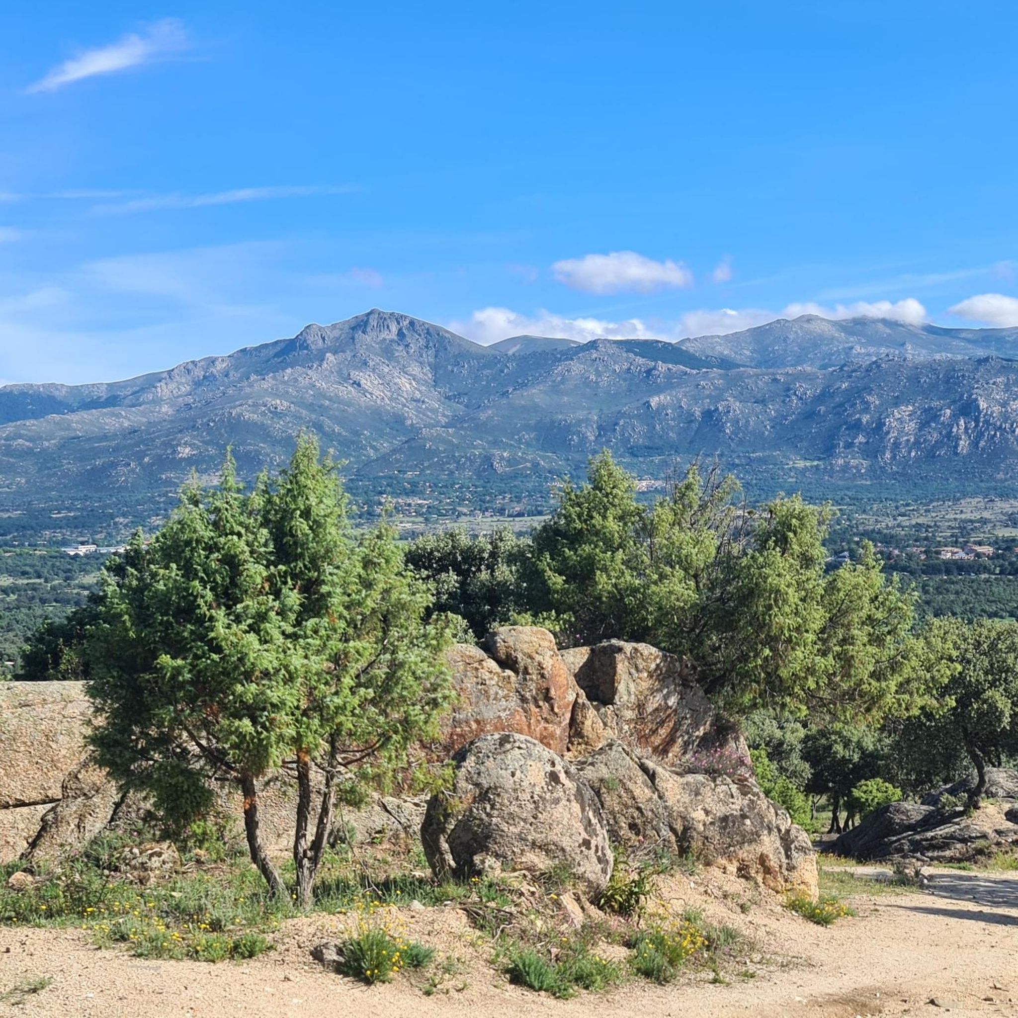
Hiking around Moralzarzal offers diverse landscapes within the Sierra de Guadarrama National Park. The region features mountainous terrain, ancient forests, and granite rock formations known as "berrocales." Hikers will encounter Mediterranean flora such as junipers and holm oaks, contributing to a rich ecosystem. Moralzarzal is also part of the Biosphere Reserve of the Manzanares, Lozoya, and Guadarrama River Basins.
Best hiking trails around Moralzarzal
- The most popular hiking route is Moralzarzal Town Center – Cerro Cabeza Mediana loop from Moralzarzal…
Last updated: October 7, 2026
5.0
(2)
24
hikers
7.53km
02:05
130m
130m
Moderate hike. Good fitness required. Easily-accessible paths. Suitable for all skill levels.
4.0
(1)
9
hikers
18.3km
05:22
490m
490m
Hard hike. Very good fitness required. Mostly accessible paths. Sure-footedness required.

5.0
(2)
9
hikers
8.36km
02:14
100m
100m
Moderate hike. Good fitness required. Easily-accessible paths. Suitable for all skill levels.
5.0
(1)
10
hikers
Moderate hike. Good fitness required. Easily-accessible paths. Suitable for all skill levels.
5.0
(5)
6
hikers
Moderate hike. Good fitness required. Easily-accessible paths. Suitable for all skill levels.
Get access to more routes and recommendations from other explorers.
Already have an account?
Our route recommendations are based on thousands of hikes, rides, and runs completed by other people on komoot.
Start today with a free account
Your next adventure awaits.
Popular around Moralzarzal
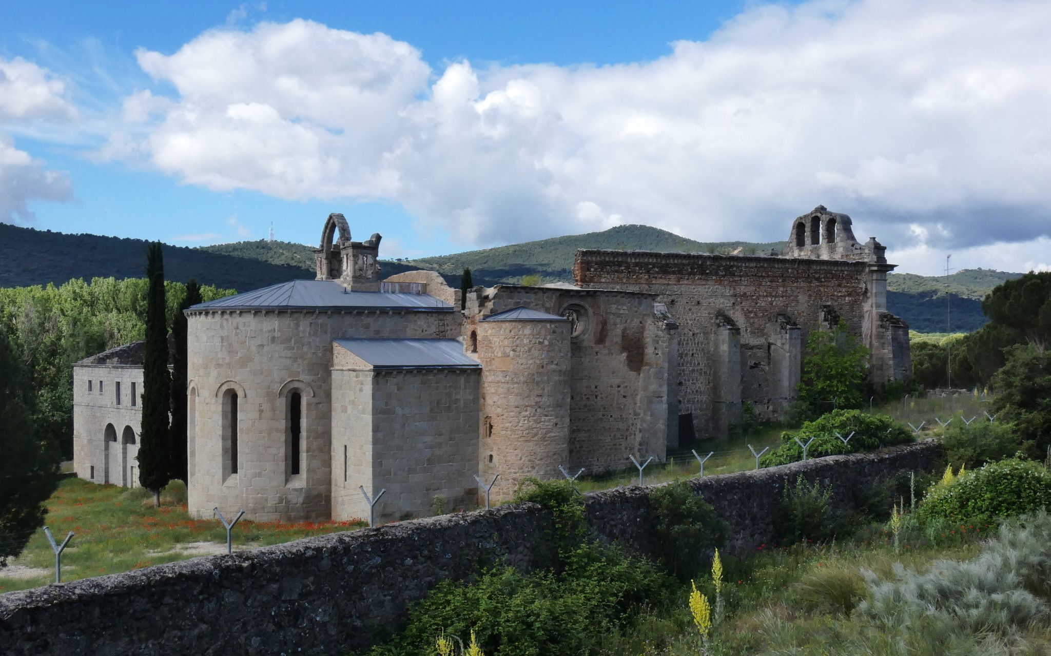
Madrid’s mediaeval castles and hidden gems by gravel bike
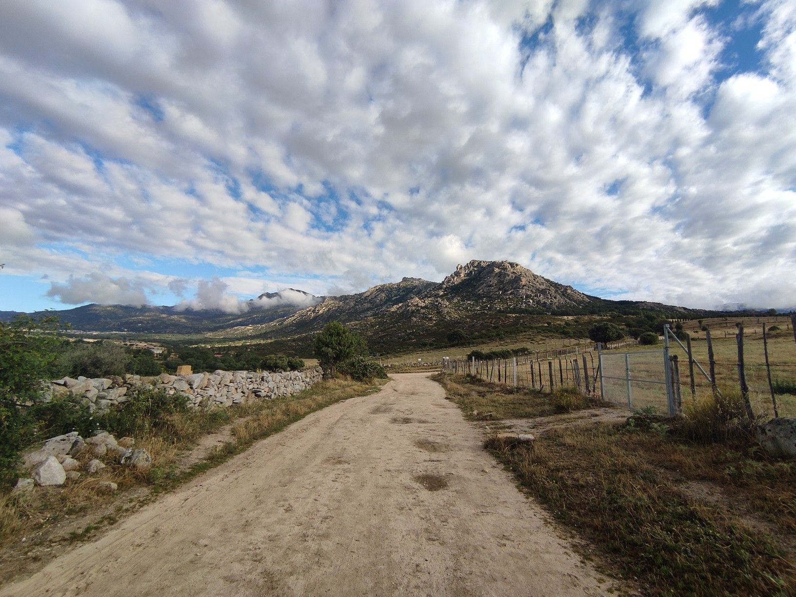
Exploring in the Madrid foothills — Anillo MTB de la sierra de Guadarrama
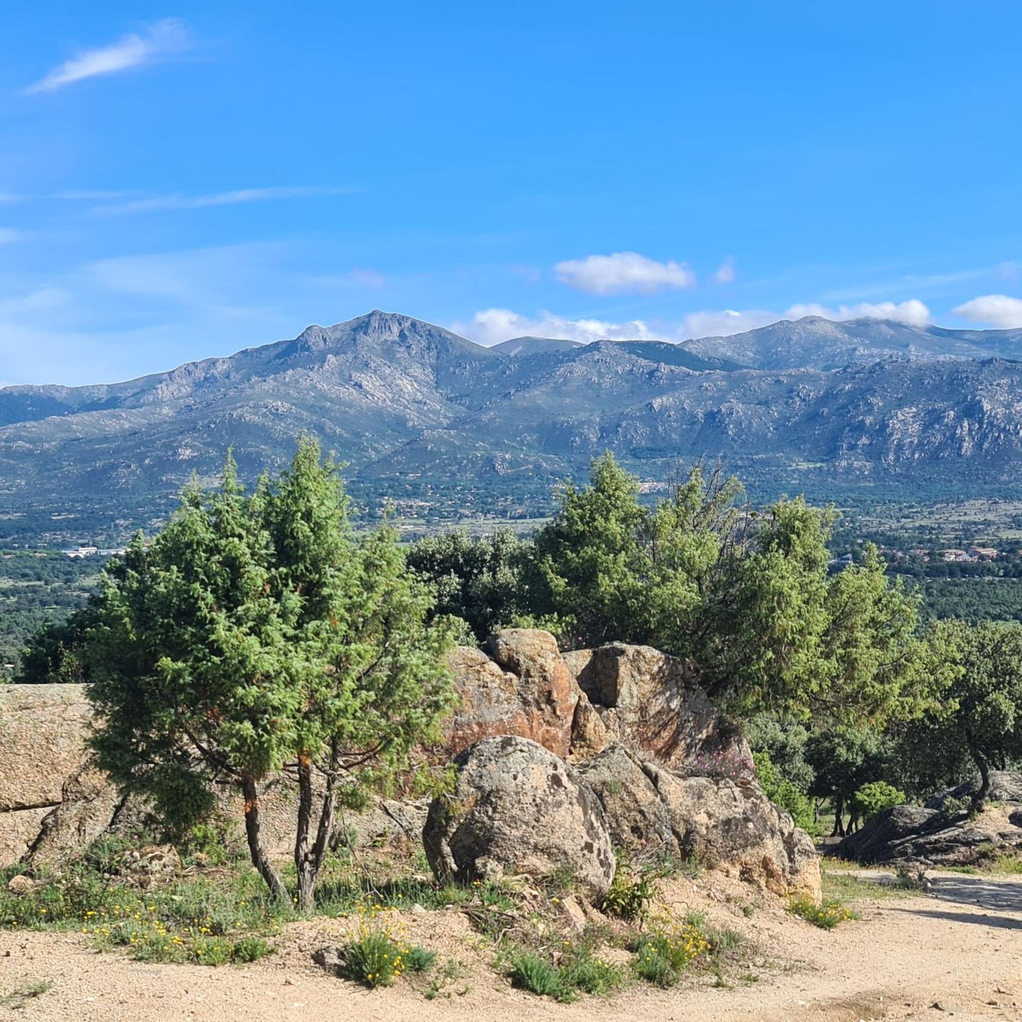
Road Cycling Routes around Moralzarzal
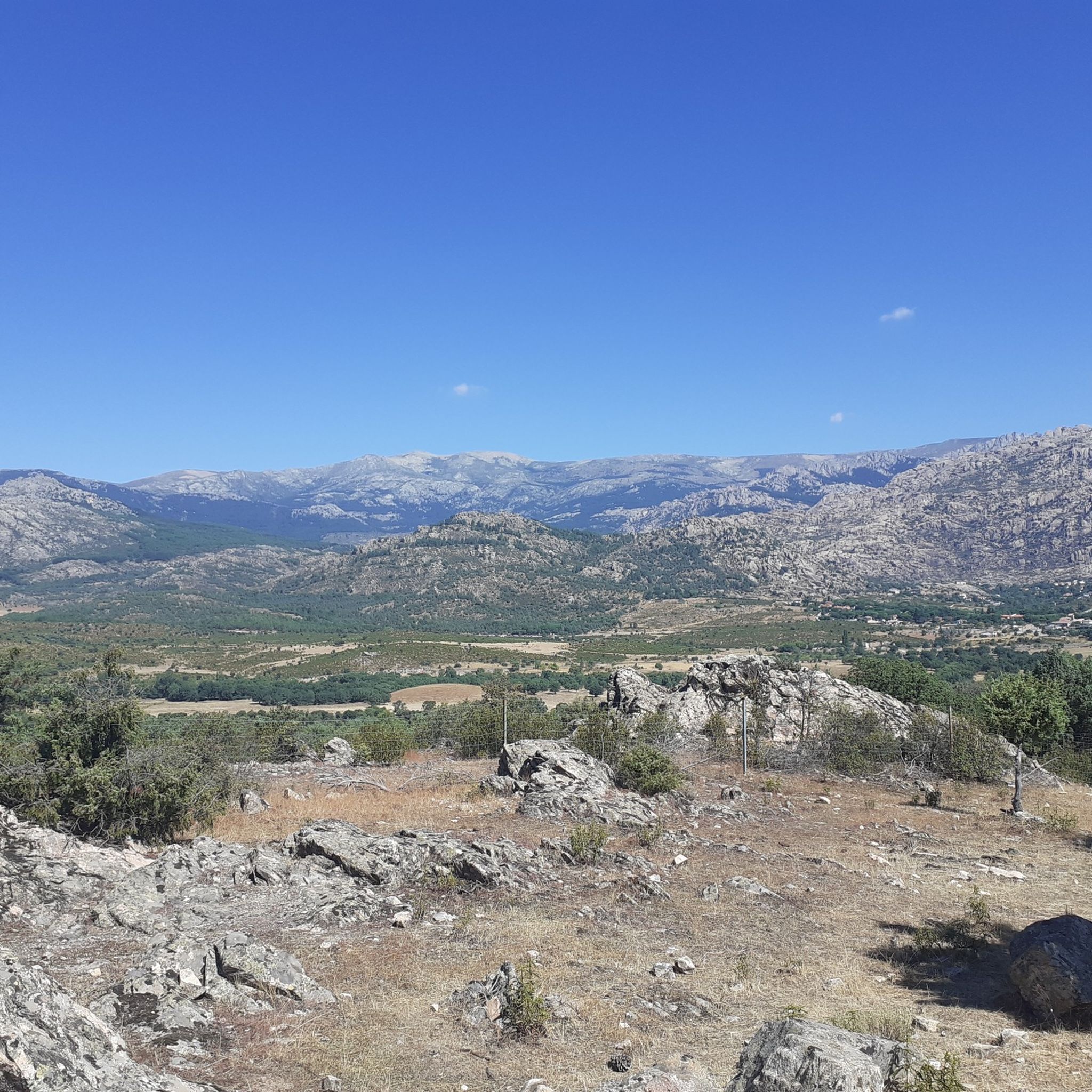
MTB Trails around Moralzarzal
Running Trails around Moralzarzal

Gravel biking around Moralzarzal
Cycling around Moralzarzal

Mountain Hikes around Moralzarzal

Tips from the Community

The town of Becerril de la Sierra is located 50 kilometers from Madrid, in the heart of the Sierra de Guadarrama National Park. The beautiful mountain town of Becerril is surrounded by some of the highest peaks in the Community of Madrid, which is why it enjoys a characteristic climate and great natural wealth.
1
0
Nice Viewpoint that is located on the mountain that is located next to Moralzarzal.
0
0

From this elevated point the views of the Guadarrama mountain range, in general, and particularly of Cuerda Larga and La Pedriza, are spectacular.
0
0

The Plaza de la Constitución in Becerril de la Sierra is perhaps the main leisure and meeting point of this Madrid town located at the foot of the Guadarrama mountain range. From there, you can get lost in its streets or refresh yourself and regain strength in one of its bars.
0
0
This church in Becerril de la Sierra dates back to the beginning of the 17th century and is built on ruins. Although it may have some Herrerian influence, the rural baroque predominates in the style of this church.
1
0
This place, also known by locals as the "Romería", is an ideal point to enjoy a small lunch or stop along the way while enjoying great views of the Guadarrama mountain range and some of its iconic peaks. It has picnic tables to sit on. It is very easy to get to this point from the town of Becerril de la Sierra.
2
0
This mountain is full of fountains; Without going any further, very close to this one there is another one: the Vivero. The explanation for this is due to the large number of cattle and ranchers there were, in addition to also having to refresh the population and the stonemasons. According to the plaque above the fountain, this is from 1986. With a stone bench on each side, they will be perfect for taking a break if we need it.
1
0
This tower that you see was part of a message transmission network using the optical telegraph system, from which it takes its name. In this system, which consisted of several towers, a message was passed from tower to tower, to finally be deciphered with codes at the destination.
1
0
Frequently Asked Questions
What types of hiking trails can I find in Moralzarzal?
Moralzarzal offers a diverse range of hiking trails, from easy strolls to challenging ascents. You'll find paths through mountainous terrain, ancient forests, and areas with distinctive granite rock formations known as "berrocales." The region is part of the Sierra de Guadarrama National Park, providing varied landscapes for all skill levels.
Are there any easy hiking routes suitable for beginners or families?
Yes, there are several easy routes. A great option is the Dehesa de Arriba Viewpoint loop from Moralzarzal, which is 7.1 km long and offers pleasant views. This trail is suitable for various fitness levels and is a good choice for families looking for a gentle walk.
What are some notable natural features or landmarks to see while hiking in Moralzarzal?
The region is rich in natural beauty and landmarks. You can explore areas with distinctive granite formations, Mediterranean flora like junipers and holm oaks, and abundant water sources. Notable points of interest include the Batán Bridge, a medieval bridge in a scenic area, and the Las Canchas Viewpoint for panoramic vistas. The Seven Peaks and La Maliciosa Summit are also prominent natural monuments in the wider area.
Are there any challenging hikes for experienced trekkers?
Absolutely. For experienced hikers seeking a challenge, the Cerro Cabeza Mediana – Cerro del Telégrafo Tower loop from Moralzarzal is a demanding 18.3 km route that takes you through mountainous terrain, often completed in over five hours. This trail offers significant elevation gain and rewarding views of the Sierra de Guadarrama.
Can I find circular hiking routes in Moralzarzal?
Yes, many of the trails in Moralzarzal are designed as loops, allowing you to start and end at the same point. Examples include the Moralzarzal Town Center – Cerro Cabeza Mediana loop from Moralzarzal and the Dehesa de Arriba Viewpoint loop from Moralzarzal, offering convenient options for exploring the area.
What is the best time of year to go hiking in Moralzarzal?
Moralzarzal is enjoyable for hiking throughout much of the year. Spring and autumn offer pleasant temperatures and vibrant landscapes, with blooming flora or colorful foliage. Summer can be warm, so early morning or late afternoon hikes are recommended. Winter hiking is possible, especially at lower elevations, but higher routes in the Sierra de Guadarrama may require appropriate gear due to snow and colder conditions.
What do other hikers say about the trails in Moralzarzal?
The hiking trails in Moralzarzal are highly regarded by the komoot community, with an average rating of 4.5 stars from over 160 reviews. Hikers often praise the diverse landscapes, the well-maintained paths, and the stunning views of the Sierra de Guadarrama, noting the variety of options for different fitness levels.
Are there any routes that offer panoramic views?
Many routes in Moralzarzal provide excellent viewpoints. The Dehesa de Arriba Viewpoint loop from Moralzarzal leads to a spot with pleasant vistas. For more expansive views, trails that ascend to Las Canchas Viewpoint or the Cerro del Telégrafo offer fabulous panoramas of the southern face of the Sierra de Guadarrama.
Can I reach hiking trails in Moralzarzal using public transport?
Moralzarzal is accessible by public transport, particularly from Madrid, making it possible to reach the town and start your hikes. While specific bus routes to trailheads may vary, many loops, like the Moralzarzal Town Center – Cerro Cabeza Mediana loop, begin directly from the town center, which is well-served by public transport.
Are there places to eat or drink near the hiking trails in Moralzarzal?
Moralzarzal is a town with amenities, so you'll find various cafes, restaurants, and pubs where you can refuel before or after your hike. While specific establishments directly on the trails are rare, the town center offers plenty of options within easy reach of many starting points.
What kind of flora and fauna can I expect to see?
The region boasts rich Mediterranean flora, including junipers, holm oaks, pines, oaks, poplars, broom, ash, rockrose, and thyme. As part of the Sierra de Guadarrama National Park, you might also encounter diverse fauna, such as golden eagles and deer, especially in quieter, more remote areas.
Most popular routes around Moralzarzal
Most popular attractions around Moralzarzal

Get inspired with the komoot mobile app


Explore more
Browse the best Hikes in other regions.
