The best running trails around Parçonerie Du Guipuscoa
5.0
(3)
960
runners
79
runs
Jogging around Parçonerie Du Guipuscoa offers routes through mountainous terrain, featuring natural parks and significant elevation changes. The region is characterized by its challenging trails, including those that pass through historical tunnels and high mountain passes. Runners can expect varied landscapes, from natural park environments to routes with substantial climbs.
Best jogging routes around Parçonerie Du Guipuscoa
- The most popular jogging route is San Adrián Tunnel – Aizkorri-Aratz Natural Park loop from Zegama, a 12.2 miles (19.6 km) trail…
Last updated: July 3, 2026
87
runners
15.9km
02:15
740m
740m
Hard run. Very good fitness required. Sure-footedness, sturdy shoes and alpine experience required.
51
runners
10.6km
01:33
470m
470m
Hard run. Very good fitness required. Sure-footedness, sturdy shoes and alpine experience required.

Sign up for free
35
runners
19.6km
02:44
770m
760m
Hard run. Very good fitness required. Sure-footedness, sturdy shoes and alpine experience required.
23
runners
20.1km
03:00
930m
920m
Hard run. Very good fitness required. Sure-footedness, sturdy shoes and alpine experience required.
29
runners
14.7km
02:17
840m
840m
Hard run. Very good fitness required. Sure-footedness, sturdy shoes and alpine experience required.
Get access to more routes and recommendations from other explorers.
Sign up for free
Already have an account?
Our route recommendations are based on thousands of hikes, rides, and runs completed by other people on komoot.
Start today with a free account
Your next adventure awaits.
Login or Signup
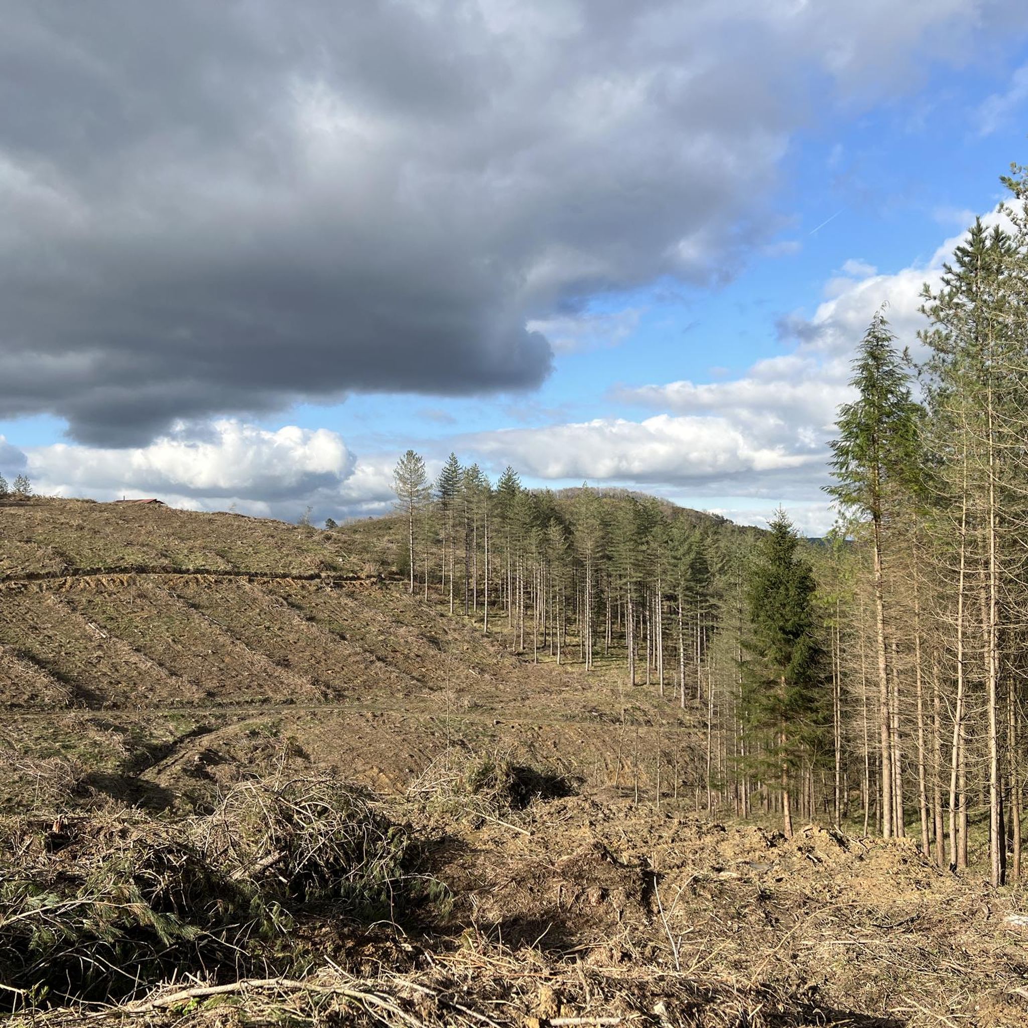
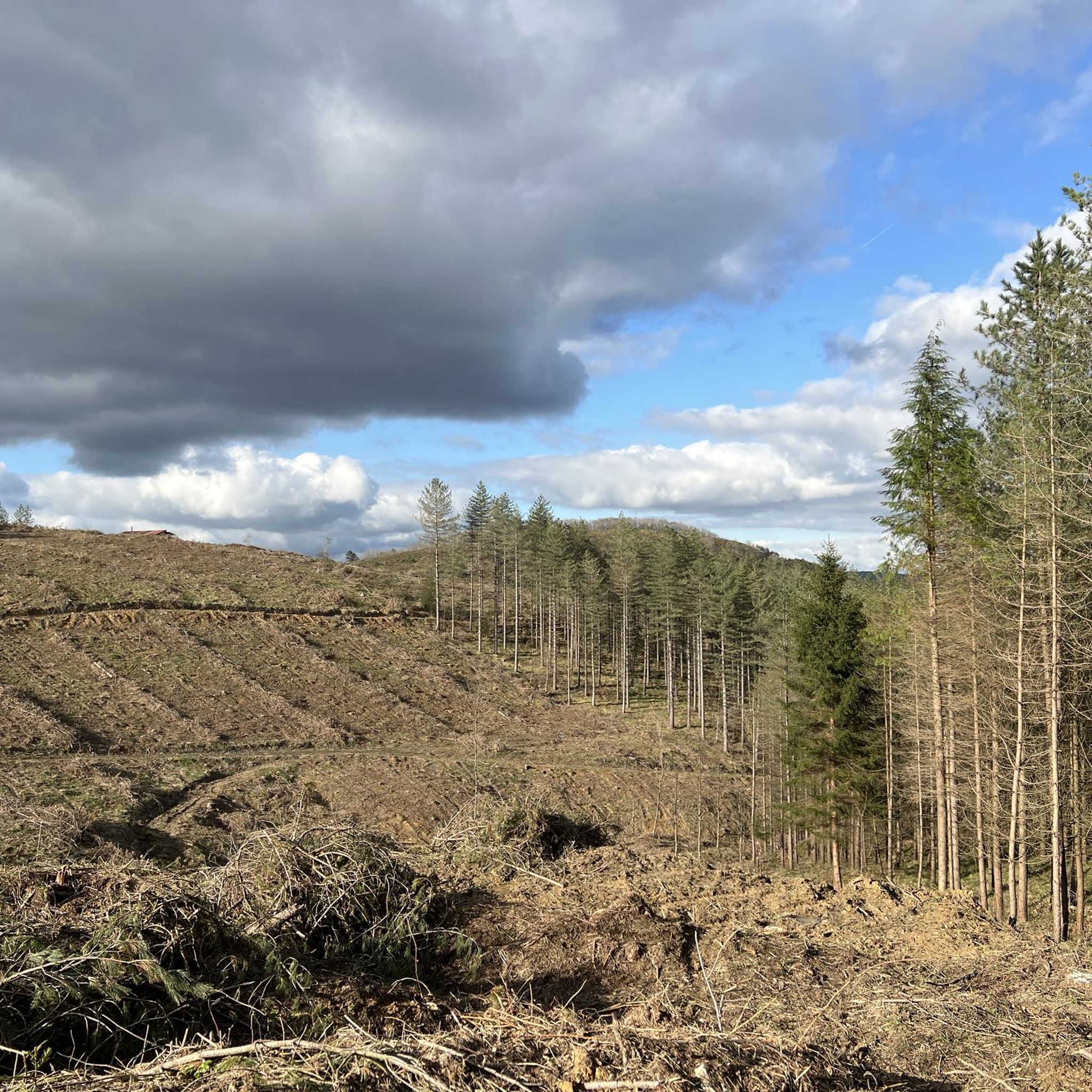
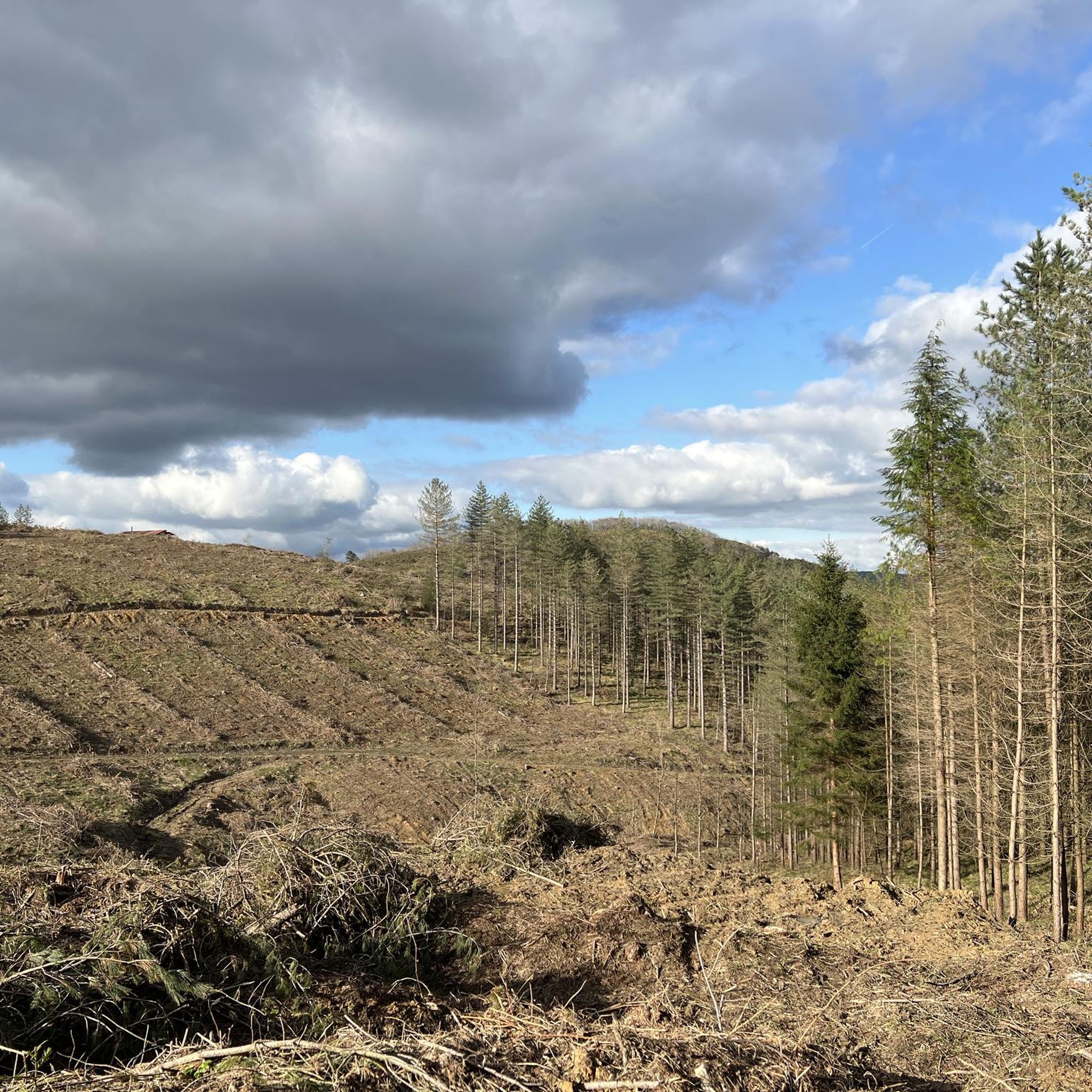
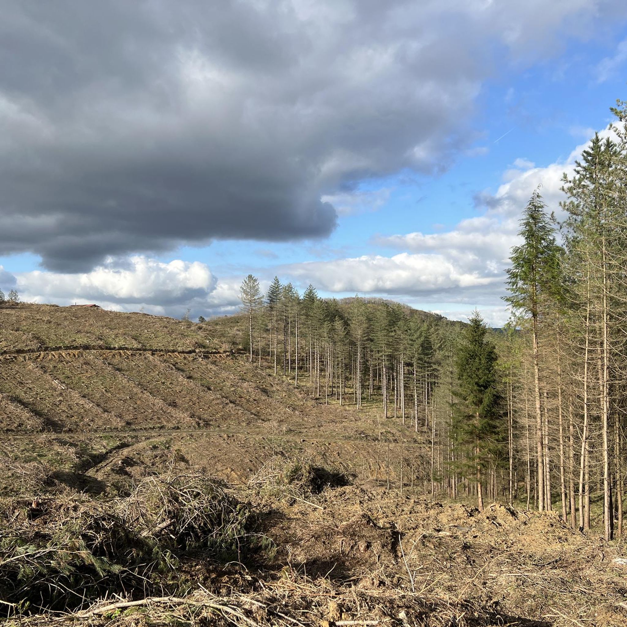

Tips from the Community

Across the street, there's a campervan parking lot where you can even get electricity. You'll also find an overview of the routes, which are also described on the OnPiste website.
1
0
... the last few kilometers downhill.
1
0
Alternating between good forest paths and rough gravel.
1
0
... unfortunately only covered with graffiti but no longer in use.
1
0
... around the next bend - when the fog clears - you will be rewarded with a phenomenal mountain panorama.
1
0
... here you leave Zegama on beautiful paths.
1
0
Frequently Asked Questions
How many running routes are available in Parçonerie Du Guipuscoa?
There are nearly 90 running routes documented on komoot for Parçonerie Du Guipuscoa. The majority of these are challenging, designed for experienced runners, with a few moderate and one easy option.
Are there any easy or beginner-friendly jogging routes in Parçonerie Du Guipuscoa?
While Parçonerie Du Guipuscoa is known for its challenging, mountainous terrain, there is one easy running route available. Most of the 89 routes are classified as moderate to difficult, making the region more suitable for experienced runners.
What kind of terrain can I expect on the running trails in Parçonerie Du Guipuscoa?
Runners in Parçonerie Du Guipuscoa can expect varied and often challenging terrain. Routes frequently pass through mountainous areas, natural parks like Aizkorri-Aratz, and feature significant elevation changes. You might encounter historical tunnels and high mountain passes, offering a diverse running experience.
Are there any long-distance running trails in Parçonerie Du Guipuscoa?
Yes, the region offers several long-distance running trails. For example, the Argonitz – Irumugeta loop from Etxegarateko mendatea is a difficult 18.9-mile (30.4 km) route with substantial elevation gain, perfect for endurance training.
What are some scenic highlights or landmarks I can see while running in Parçonerie Du Guipuscoa?
The running routes often feature natural and historical landmarks. You can explore the Otzaurte Pass, the historic San Adrián Tunnel, or enjoy the natural beauty of the Aizkorri-Aratz Natural Park. Some trails also pass by beautiful waterfalls like the Tobería Waterfalls or the Andoin Waterfall.
Are there any circular running routes available?
Many of the running routes in Parçonerie Du Guipuscoa are loops. Popular options include the San Adrián Tunnel – Aizkorri-Aratz Natural Park loop from Zegama, or the Otzaurte Pass – Abandoned Mountain Hut loop from Zegama, both offering challenging circular paths.
What do other runners say about the trails in Parçonerie Du Guipuscoa?
The running trails in Parçonerie Du Guipuscoa are highly regarded by the komoot community, holding an average rating of 5.0 stars from 4 reviews. Runners often praise the challenging nature of the routes, the stunning natural park environments, and the historical elements like the San Adrián Tunnel.
Are there any running routes that pass by mountain passes?
Yes, several routes traverse significant mountain passes. The Otzaurte Pass – Abandoned Mountain Hut loop from Zegama is a prime example, taking you through the Otzaurte Pass with considerable elevation gain.
Can I find running routes that include historical sites?
Absolutely. The region is rich in history. The Hermitage of the Holy Spirit – San Adrián Tunnel loop from San Adriango tunela is a great option, leading you through both historical and natural landscapes, including the ancient San Adrián Tunnel.
What is the best time of year for running in Parçonerie Du Guipuscoa?
Given the mountainous terrain and potential for significant elevation, spring and autumn generally offer the most pleasant conditions for running, with milder temperatures. Summer can be warm, and winter may bring snow or ice to higher elevations, making some trails more challenging or inaccessible.
Are there any running routes that offer views of waterfalls?
Yes, you can incorporate waterfall views into your run. While specific running routes might not directly pass every waterfall, the region is home to several, such as the Tobería Waterfalls and the Andoin Waterfall. You can often find trails nearby or plan a route that includes these natural attractions.
Most popular routes around Parçonerie Du Guipuscoa
Most popular attractions around Parçonerie Du Guipuscoa

Get inspired with the komoot mobile app


Explore more
Browse the best Running Trails & Routes in other regions.
