The best mountain hikes around Collado Villalba
5.0
(2)
14
hikers
2
hikes
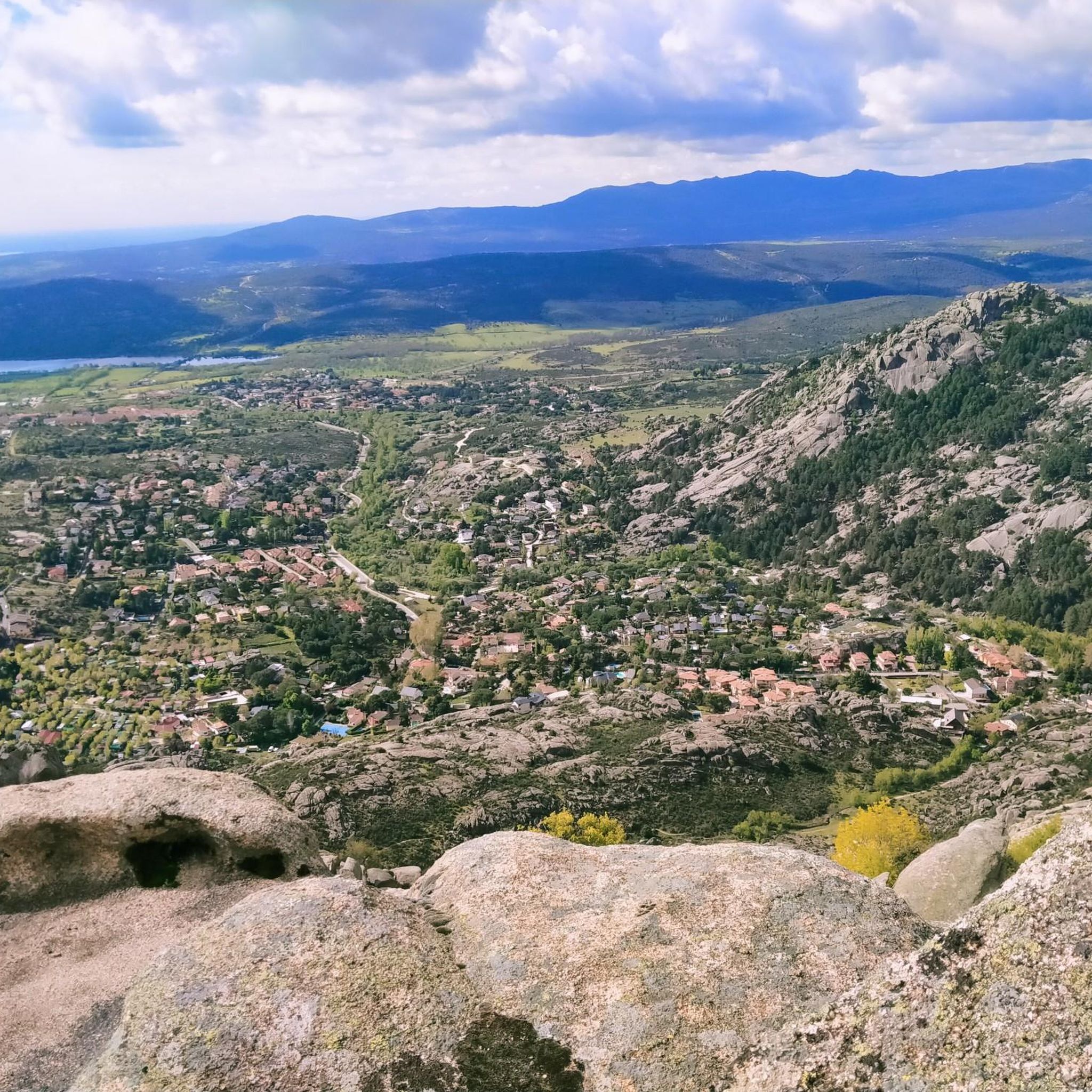
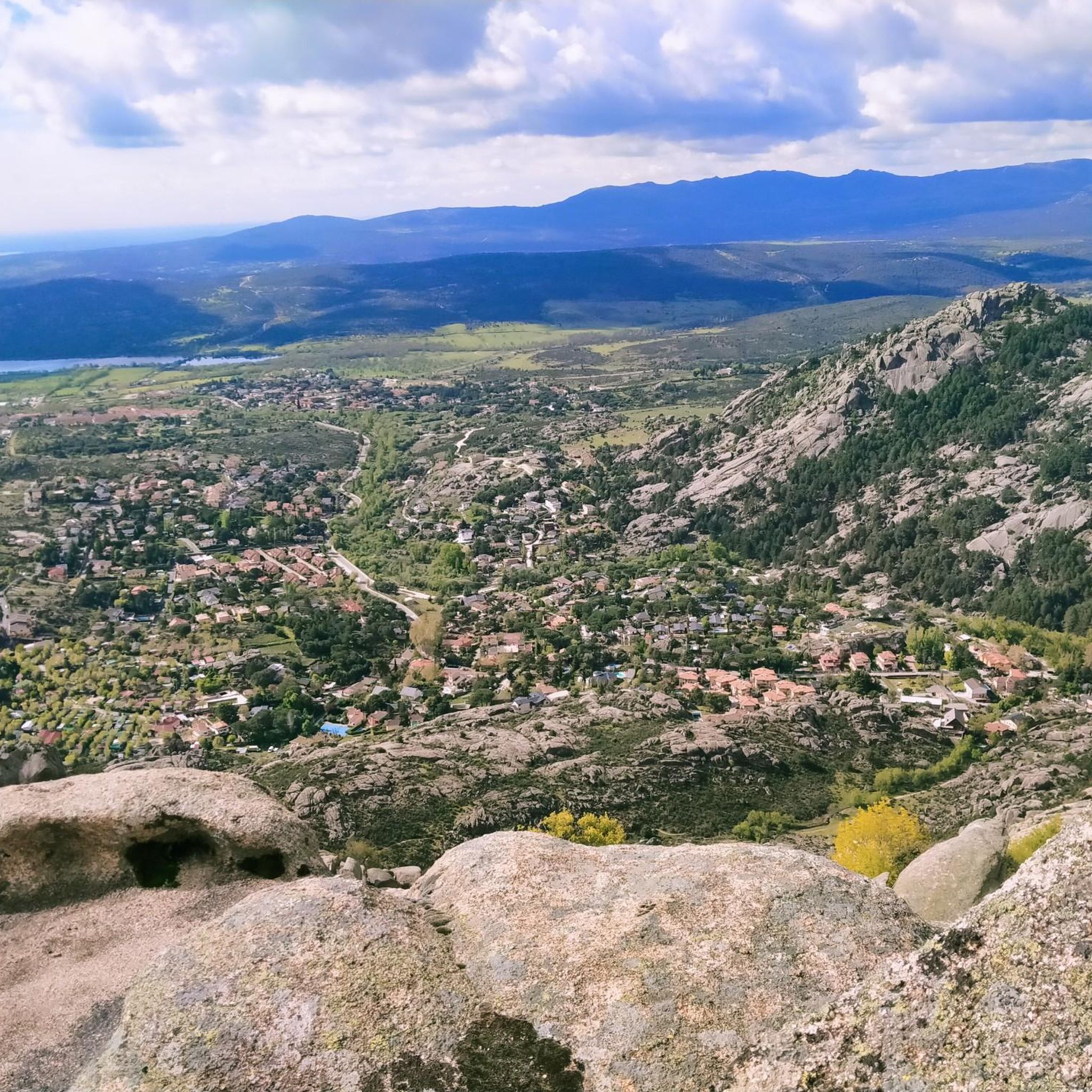
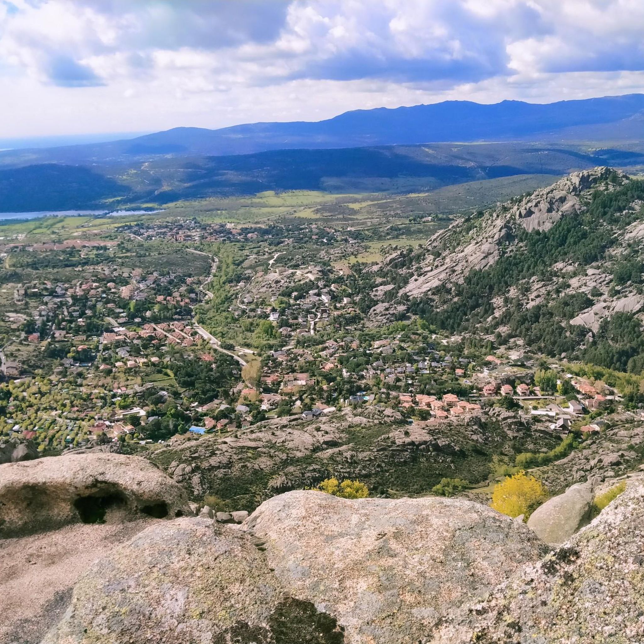
Mountaineering routes around Collado Villalba offer access to the rugged Sierra de Guadarrama mountain range, characterized by imposing peaks, many exceeding 2,000 meters. The region features unique granite rock formations, particularly in areas like La Pedriza, and prominent glacial cirques and lagoons. Landscapes transition from Scots pine forests to alpine grasslands, providing varied terrain for exploration. Valleys like Barranca offer panoramic views of massifs such as Guarramillas and Maliciosa.
Best mountaineering routes around Collado Villalba
- The most popular mountaineering route is La Peñota Peak – La Peñota loop from Cercedilla, a 6.2 miles (10.0 km) trail that takes 4 hours 47 minutes to complete. This difficult route ascends to La Peñota Peak, offering expansive views of the surrounding granite landscape.
- Another top favourite among local mountaineers is La Maliciosa (2,227 m) loop from Presa del Embalse de Navacerrada, a difficult 4.5 miles (7.3 km) path. This challenging ascent leads to one of the highest peaks in the range, providing panoramic vistas.
- Local mountaineers also love the Embalse del Ejercito del Aire loop from Presa del Embalse de Navacerrada, a 3.2 miles (5.1 km) trail leading through varied terrain around the reservoir, often completed in about 2 hours 25 minutes.
- Mountaineering around Collado Villalba is defined by granite formations, high peaks, and diverse forests. The network offers options for different ability levels, from moderate paths to challenging ascents.
- The routes in Collado Villalba are highly rated by the komoot community with an average score of 5.0 stars from 3 reviews. More than 40 mountaineers have used komoot to explore Collado Villalba's varied terrain.
Last updated: July 13, 2026
7
hikers
10.1km
04:50
770m
770m
Hard mountaineering route. Good fitness required. Sure-footedness, sturdy shoes and alpine experience required.
5
hikers
Hard mountaineering route. Good fitness required. Sure-footedness, sturdy shoes and alpine experience required.

Sign up for free
5.0
(2)
2
hikers
5.40km
02:29
370m
370m
Moderate mountaineering route. Good fitness required. Mostly accessible paths. Sure-footedness required.
Our route recommendations are based on thousands of hikes, rides, and runs completed by other people on komoot.
Start today with a free account
Your next adventure awaits.
Login or Signup
Popular around Collado Villalba
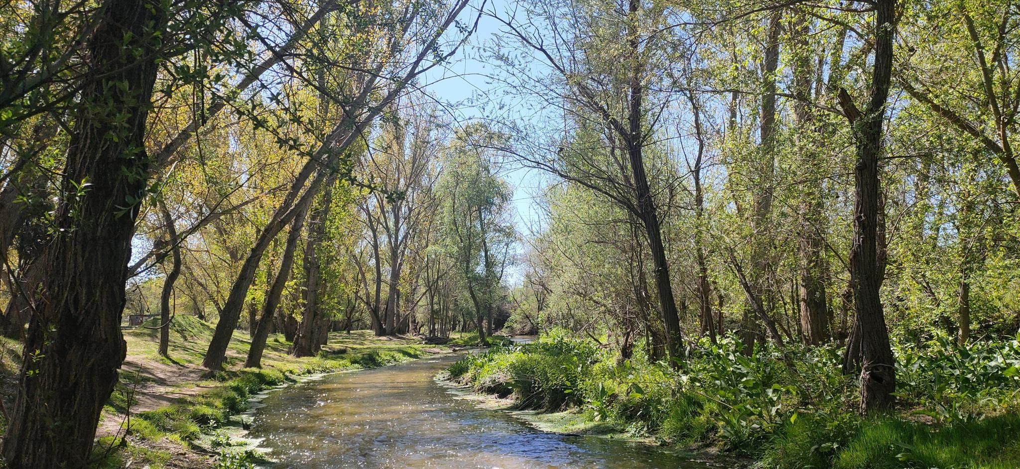
Hidden treasures in the river – hike along Spain’s Guadarrama River
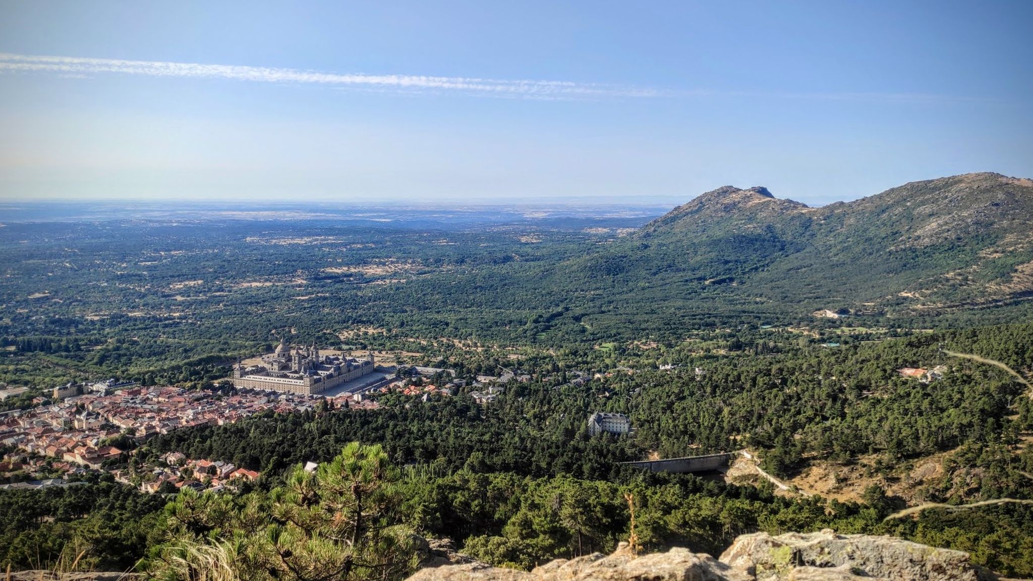
Sierras, countryside, reservoirs and history – Tour of Madrid gravel
Road Cycling Routes around Collado Villalba
Hiking around Collado Villalba
MTB Trails around Collado Villalba
Running Trails around Collado Villalba
Cycling around Collado Villalba

Gravel biking around Collado Villalba

Tips from the Community

Strategic point from which excellent landscapes can be seen in the surrounding area.
0
0
High and difficult peak in the Sierra de Madrid, especially with clouds and winds.
0
0

This reservoir is located in the beautiful Barranca valley
0
0

The Barranca Army Reservoir, built in the 1950s in Navacerrada (Madrid), is located in the Barranca Valley, within the Upper Manzanares Basin Regional Park. It originally supplied water to a sanatorium. Today, surrounded by a valuable ecosystem, it is a place to enjoy nature and views of the Sierra de Guadarrama.
0
0
It's cool to stop and listen to the water fall
0
0
The Camino Purricelli in Cercedilla is an ancient road that is part of the rich historical and natural heritage of the Sierra de Guadarrama. Its origin dates back to the late 19th and early 20th centuries, when it was built as a forest road to facilitate access and transport of wood from the dense forests of the area.
0
0

This mountain lies between La Pedriza and the Barranca valley, offering spectacular views and challenging hiking routes. One of the most popular routes to ascend La Maliciosa begins in the Barranca valley. This circular route passes through the Piornal pass and offers a combination of wooded and rugged landscapes, with a significant cumulative gradient. The climb can be demanding, especially in winter, when snow and ice add difficulty to the route.
8
0

One of the most emblematic and climbed peaks in the community of Madrid.
1
0
Frequently Asked Questions
What kind of terrain can I expect on mountaineering routes around Collado Villalba?
The region is renowned for its unique granite rock formations, especially in areas like La Pedriza. You'll encounter imposing mountain ranges with many peaks exceeding 2,000 meters, prominent glacial cirques, and lagoons. Landscapes transition from Scots pine forests at higher altitudes to alpine grasslands above the treeline, offering a diverse and rugged experience.
Are there any moderate mountaineering routes available in Collado Villalba?
Yes, there is at least one moderate route. For example, the Embalse del Ejercito del Aire loop from Presa del Embalse de Navacerrada is a moderate 5.1 km (3.2 miles) trail that takes approximately 2 hours 25 minutes to complete, leading through varied terrain around the reservoir.
What are some challenging mountaineering routes in the area?
For those seeking a challenge, routes like the La Peñota Peak – La Peñota loop from Cercedilla offer a difficult 10 km (6.2 miles) ascent with over 760 meters of elevation gain. Another demanding option is the La Maliciosa (2,227 m) loop from Presa del Embalse de Navacerrada, a difficult 7.3 km (4.5 miles) path with over 800 meters of ascent to one of the highest peaks.
Are there any circular mountaineering routes around Collado Villalba?
Yes, several routes are designed as loops. Examples include the difficult La Peñota Peak – La Peñota loop from Cercedilla and the challenging La Maliciosa (2,227 m) loop from Presa del Embalse de Navacerrada. For a moderate option, consider the Embalse del Ejercito del Aire loop from Presa del Embalse de Navacerrada.
What are the best times of year for mountaineering in Collado Villalba?
The Sierra de Guadarrama offers diverse experiences throughout the year. While many routes are enjoyable in warmer months, winter mountaineering is also possible, revealing a more rugged side with snow and ice. Areas like La Maliciosa's southern side offer technical routes, ice walls, and channels with steep pitches during winter.
What kind of viewpoints or landmarks can I find along the mountaineering routes?
The region offers stunning panoramic views. You can visit the La Solana Lookout Tower or the Cerro de las Cabezas Lookout Tower for 360-degree vistas. Many routes also provide excellent Views of La Maliciosa and other prominent peaks like Siete Picos and Bola del Mundo.
Are there any reservoirs or lakes to see near the mountaineering trails?
Yes, the area features several significant bodies of water. The Valmayor Reservoir is the second-largest in the province. You can also find the Air Force Reservoir and the Laguna del Gato. The Navacerrada Reservoir Dam is also a notable point of interest.
What do other mountaineers enjoy most about the routes in Collado Villalba?
The mountaineering routes in Collado Villalba are highly rated by the komoot community, with an average score of 5.0 stars from 3 reviews. Reviewers often praise the challenging ascents, the unique granite formations, and the expansive views from the peaks, highlighting the diverse and rugged terrain.
Are there opportunities for rock climbing in the Collado Villalba area?
Beyond mountaineering, the region is a significant climbing and training ground. Areas like La Pedriza are famous for slab climbing, and other locations such as La Peñota, Siete Picos, and Cerro del Telégrafo offer rock climbing on gneiss outcrops. Collado Villalba also has indoor facilities like Urban Monkey for bouldering and climbing practice.
What kind of forests and vegetation can I expect to see?
The landscapes are quite varied. At higher altitudes, you'll find Scots pine forests, transitioning to alpine grasslands above the treeline. Closer to Collado Villalba, areas like Dehesa Boyal feature ancient holm oaks, while Coto de las Suertes showcases Mediterranean forests with junipers, ash trees, and holm oaks.
How many mountaineering routes are available in the Collado Villalba area?
Komoot currently features several mountaineering routes around Collado Villalba, offering a range of options from moderate to difficult. These routes provide access to the diverse landscapes of the Sierra de Guadarrama.
Are there any specific peaks I can aim to summit on these routes?
Yes, the region offers ascents to notable peaks. The La Peñota Peak – La Peñota loop from Cercedilla leads to La Peñota Peak. Another popular and challenging ascent is the La Maliciosa (2,227 m) loop from Presa del Embalse de Navacerrada, which takes you to one of the highest points in the range.
Most popular routes around Collado Villalba
Most popular attractions around Collado Villalba

Get inspired with the komoot mobile app


Explore more
Browse the best Mountain Hikes & Routes in other regions.
