The best running trails around Santa Eulalia De Gállego
4.5
(6)
357
runners
22
runs
Jogging around Santa Eulalia De Gállego offers diverse terrain for runners. The region is characterized by its location along the Gállego River, providing opportunities for riverside paths, and its proximity to the dramatic rock formations of Peñas de Riglos and Mallos de Agüero. These Santa Eulalia De Gállego natural features create a landscape that ranges from flat stretches along the river to more challenging inclines through mountainous and rural areas. The varied topography ensures a mix of easy jogging routes…
Last updated: May 16, 2026
5.0
(1)
54
runners
28.8km
04:34
1,450m
1,450m
Hard run. Very good fitness required. Sure-footedness, sturdy shoes and alpine experience required.
47
runners
12.9km
02:15
780m
780m
Hard run. Very good fitness required. Sure-footedness, sturdy shoes and alpine experience required.

Sign up for free
35
runners
11.8km
01:53
620m
620m
Hard run. Very good fitness required. Sure-footedness, sturdy shoes and alpine experience required.
4.0
(3)
29
runners
8.66km
01:11
250m
250m
Hard run. Good fitness required. Sure-footedness, sturdy shoes and alpine experience required.
21
runners
13.3km
02:10
630m
630m
Hard run. Very good fitness required. Sure-footedness, sturdy shoes and alpine experience required.
Get access to more routes and recommendations from other explorers.
Sign up for free
Already have an account?
Our route recommendations are based on thousands of hikes, rides, and runs completed by other people on komoot.
Start today with a free account
Your next adventure awaits.
Login or Signup
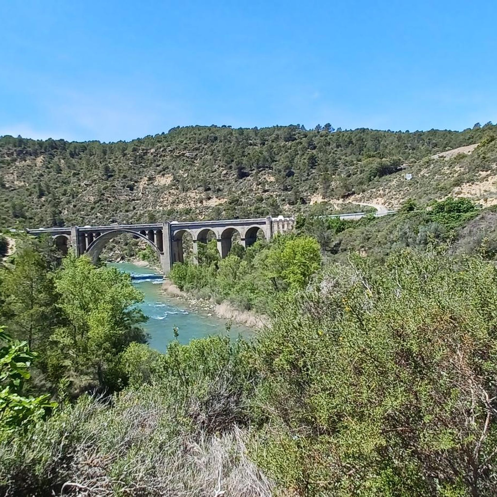
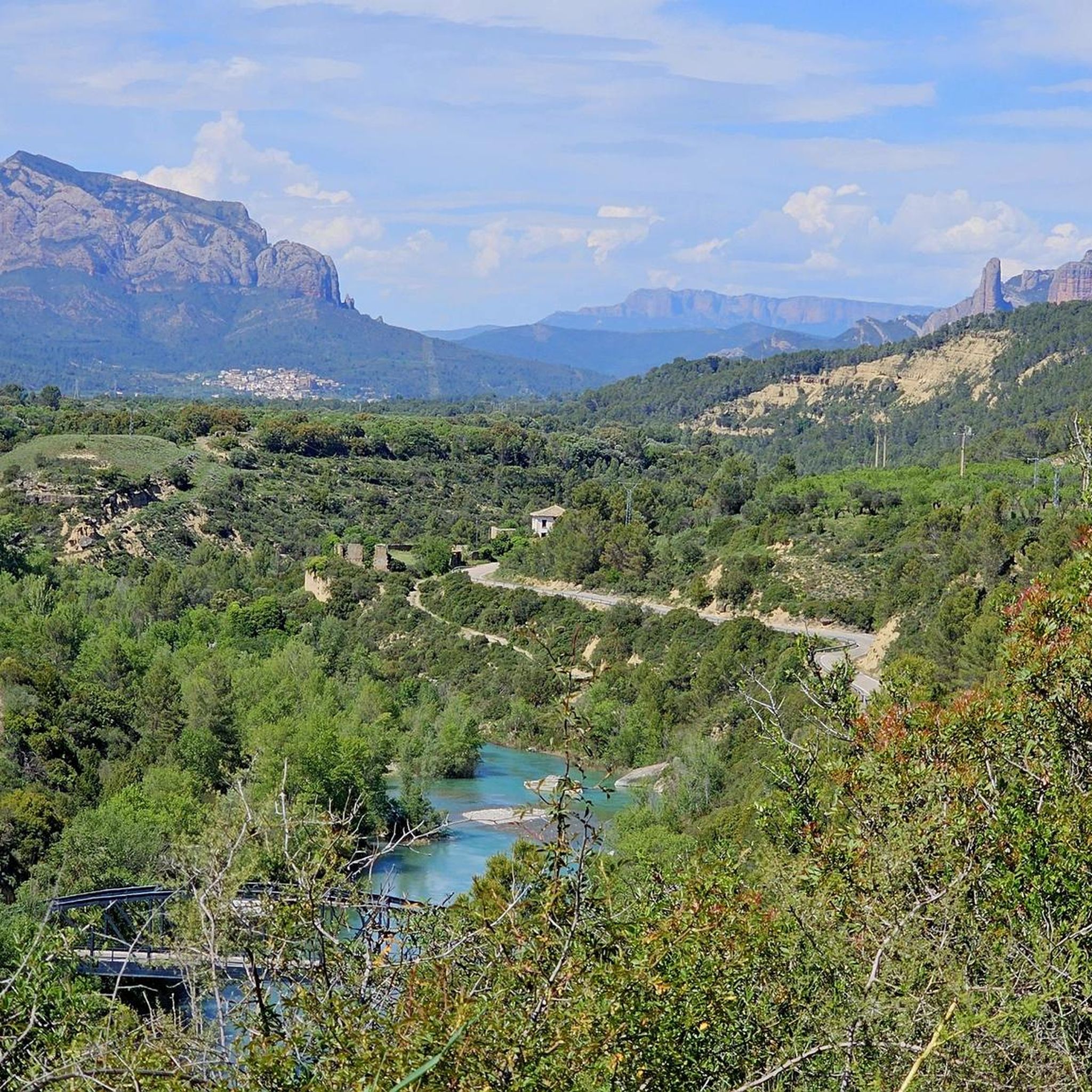

Tips from the Community

After hiking and climbing, you can stop here for a very good meal and be pampered culinarily.
0
0

As of 2017, observation was still permitted up there (in September). Of course, this may have changed in the meantime. Good luck!
1
0

With this backdrop, the town disappears completely from view, yet there are several terraces with music to relax and enjoy.
19
0
The Bentuso viewpoint is located at an altitude of 1035 meters, what a postcard view!
19
0
Beautifully situated parish church at the foot of the Mallos, built in the 17th century with 2 beautiful sculptures.
0
0
The Mallos of the Aragonese Pre-Pyrenees were formed 65 million years ago after eroded material from the Pyrenees washed away.
1
0

beautiful walk with a view of the nests of griffon vultures
0
0

At this point, the Hoya de Huesca nature trail runs through the spectacular landscape of the mallos (rock formations). These conglomerate columns rise above the Aragonese foothills.
0
0
Frequently Asked Questions
How many running routes are available in Santa Eulalia De Gállego?
There are over 20 running routes around Santa Eulalia De Gállego, offering a variety of options for different preferences and fitness levels. The komoot community has explored more than 20 routes in the area.
What is the general difficulty level of running trails in Santa Eulalia De Gállego?
The running trails in Santa Eulalia De Gállego are predominantly challenging, with 18 routes rated as difficult. There are also 4 moderate routes, but currently, no easy routes are listed, indicating a focus on more demanding trail running experiences.
What kind of landscapes can I expect on a run around Santa Eulalia De Gállego?
You can expect a diverse and stunning landscape. Many routes follow the scenic Gállego River, offering pleasant riverside paths. The region is also famous for the dramatic rock formations of Peñas de Riglos and Mallos de Agüero, providing breathtaking backdrops and more challenging mountainous terrain. The varied topography includes both rural and elevated areas with panoramic views.
Are there any scenic viewpoints along the running trails in the area?
Yes, the region is rich in scenic viewpoints. The Camino del Cielo - Panoramic View offers spectacular vistas, especially near the Mallo Colorado. You can also find excellent views of the iconic rock formations and surrounding valleys on routes like the View of Mallos de Riglos – Mirador del Colorado loop from Riglos. Additionally, Marcuello Castle, perched atop a hill, provides panoramic views over La Galliguera.
What do other runners say about the routes in Santa Eulalia De Gállego?
The running routes in Santa Eulalia De Gállego are highly rated by the komoot community, with an average score of 4.5 stars from more than 5 reviews. Runners often praise the dramatic landscapes, especially around the Peñas de Riglos, and the challenging yet rewarding nature of the trails.
Can I find long-distance running trails in Santa Eulalia De Gállego?
Yes, there are options for long-distance running. For example, the Mirador del Colorado – Mallos de Riglos loop from Riglos is a challenging 17.9-mile (28.8 km) trail that takes approximately 4 hours 34 minutes to complete, featuring significant elevation gain.
Are there any circular running routes available?
Many of the popular running routes in the area are circular, allowing you to start and end at the same point. Examples include the Mirador del Colorado – Mallos de Riglos loop from Riglos and the Riglos loop from Murillo de Gállego.
What natural attractions can I see while running in Santa Eulalia De Gállego?
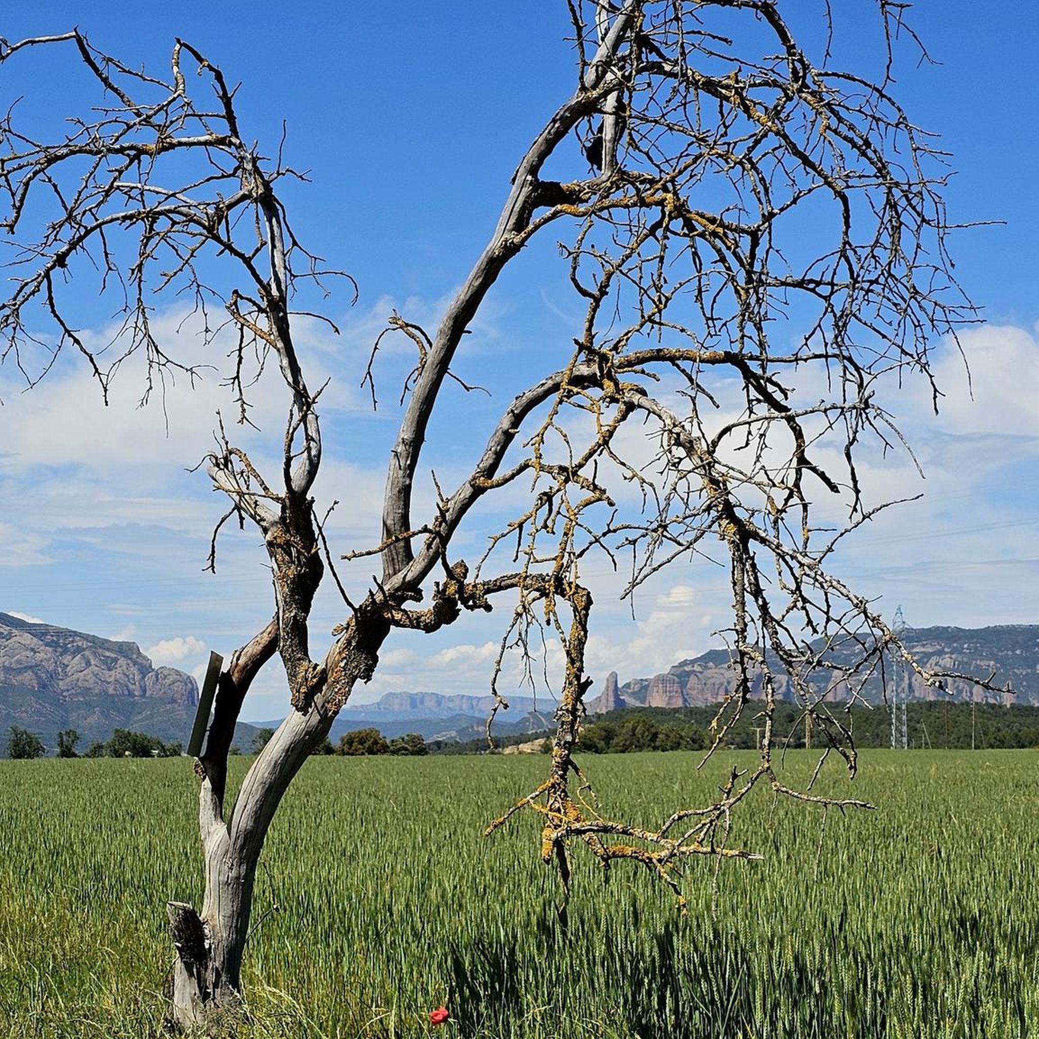
Beyond the stunning Peñas de Riglos and Mallos de Agüero, you might encounter unique natural features like the 'Chopo del Arenal', a singular poplar tree along the Gállego River. The region's varied terrain also offers opportunities to observe local flora and fauna.
Are there any running routes that start from or pass through Murillo de Gállego?
Yes, several routes are accessible from or pass through Murillo de Gállego, a nearby town. For instance, the Riglos loop from Murillo de Gállego and the Peñas de Riglos – Colorado Viewpoint loop from Murillo de Gállego are excellent options starting from there.
What is the best time of year to go running in Santa Eulalia De Gállego?
While specific climate data isn't provided, the region's mountainous and rural character suggests that spring and autumn would offer pleasant temperatures for running. Summers can be hot, and winters might bring colder conditions, so checking local weather forecasts is always recommended.
Are there any historical landmarks to explore near the running trails?
Yes, the area combines natural beauty with historical sites. You could incorporate a visit to Marcuello Castle, which offers spectacular views, into a longer run or explore it post-run. The region also features cultural attractions like the Romanesque Church of El Salvador and the 12th-century Church of Santiago in nearby Agüero.
Are there any running routes suitable for families?
While many routes are rated as difficult, the path connecting Murillo de Gállego to Santa Eulalia de Gállego along the right bank of the Gállego River is described as suitable for walking and mountain biking, suggesting it could be a viable option for an easier, family-friendly jog. Always check route details for elevation and terrain to ensure suitability for all family members.
Most popular routes around Santa Eulalia De Gállego
Most popular attractions around Santa Eulalia De Gállego

Get inspired with the komoot mobile app


Explore more
Browse the best Running Trails & Routes in other regions.
