The best walks and hikes around Montbéliard
4.5
(3384)
19,206
hikers
394
hikes
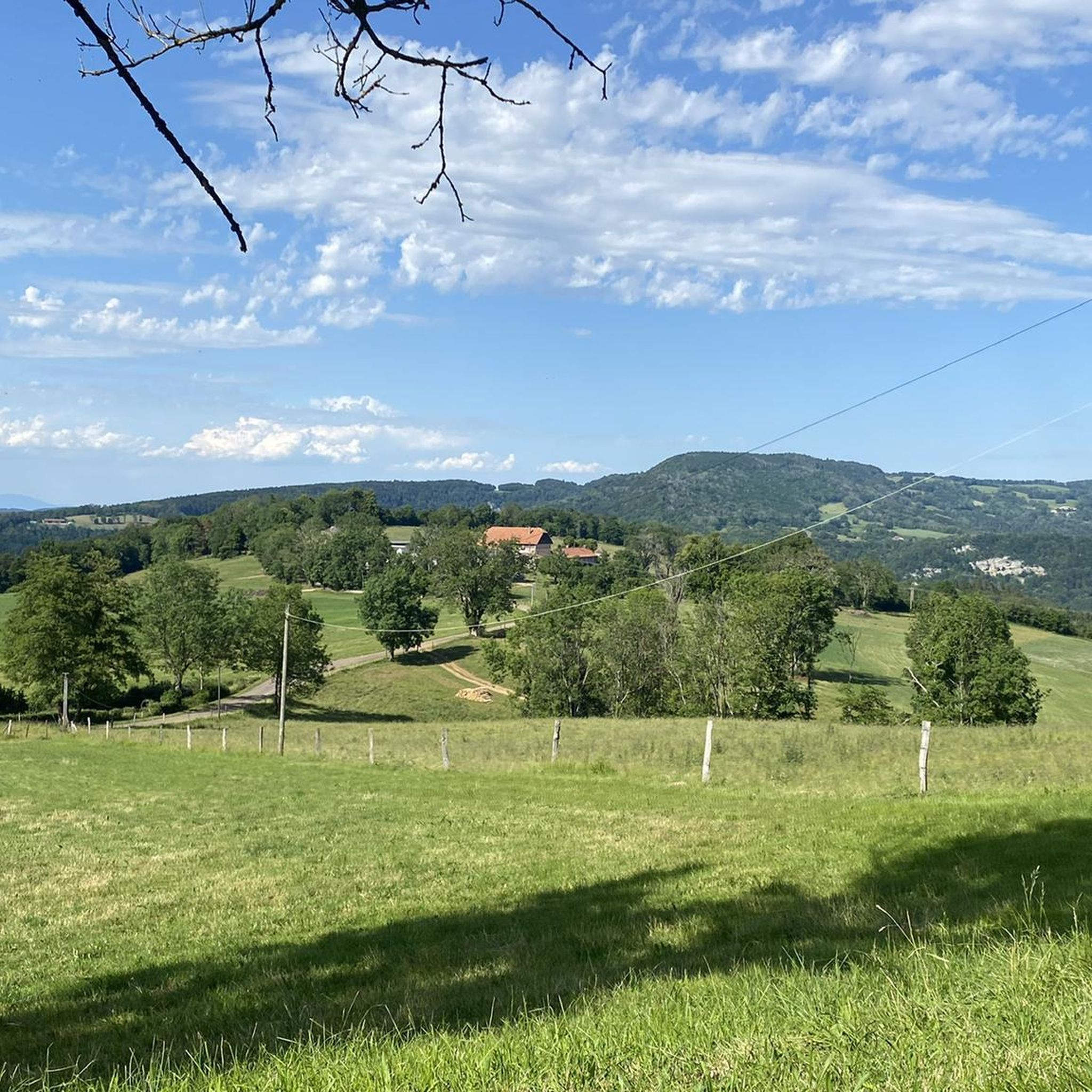
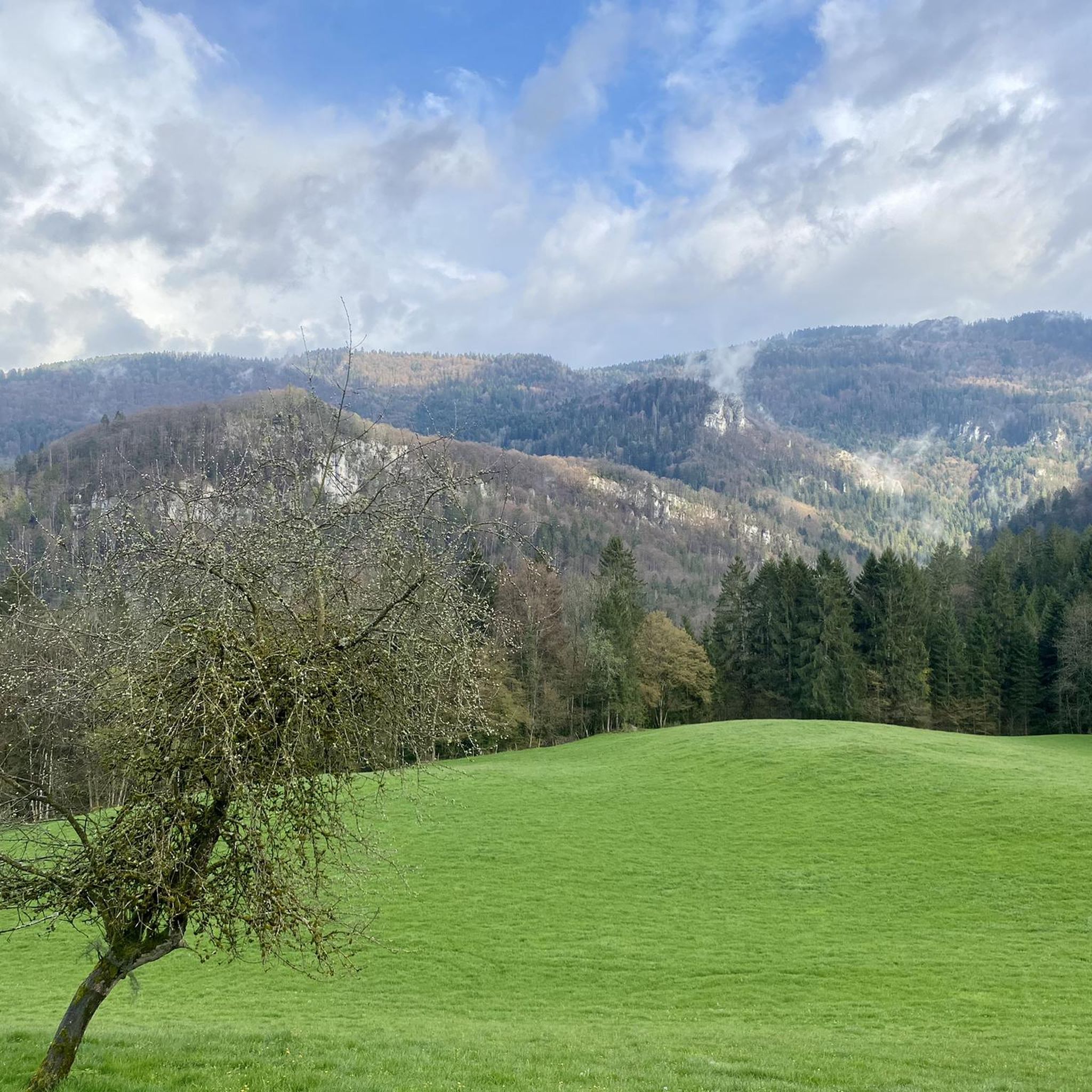
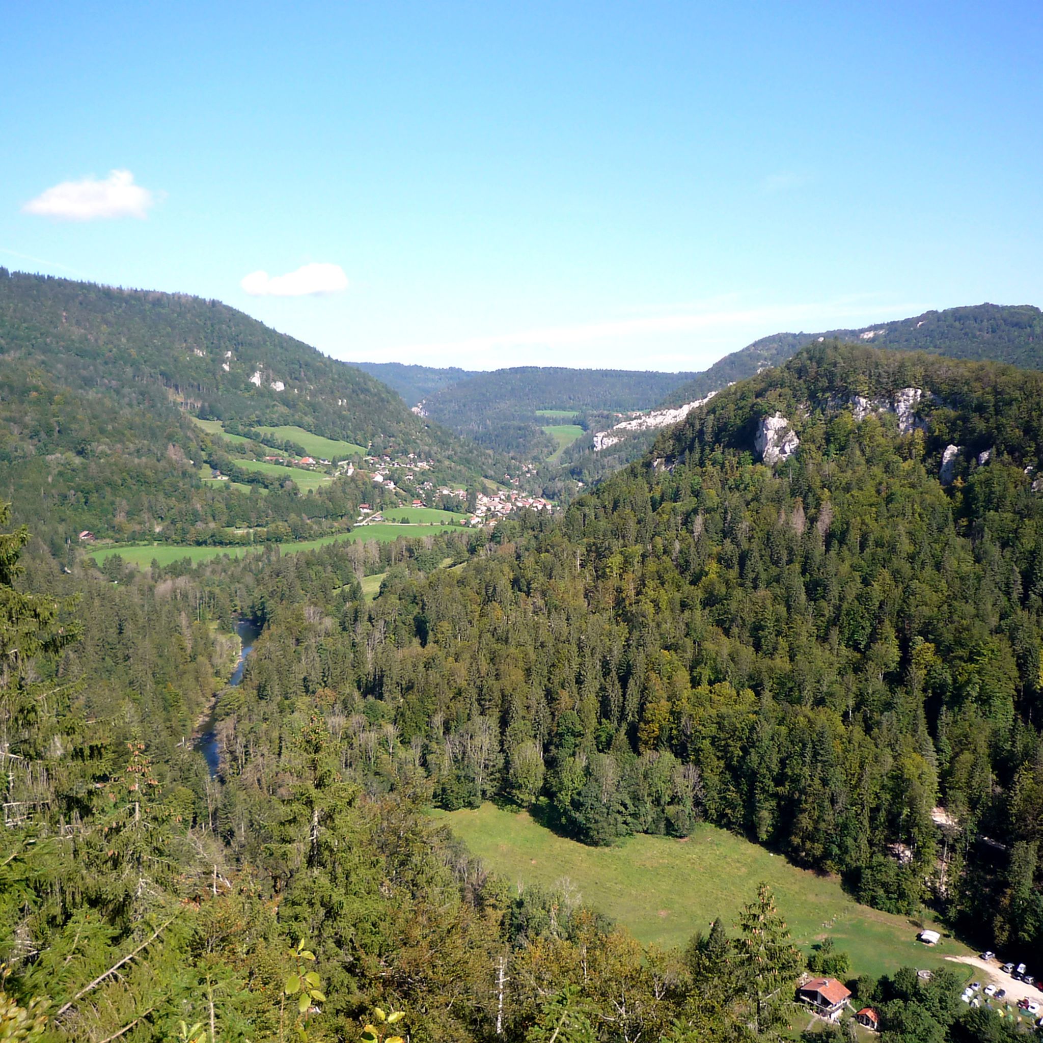
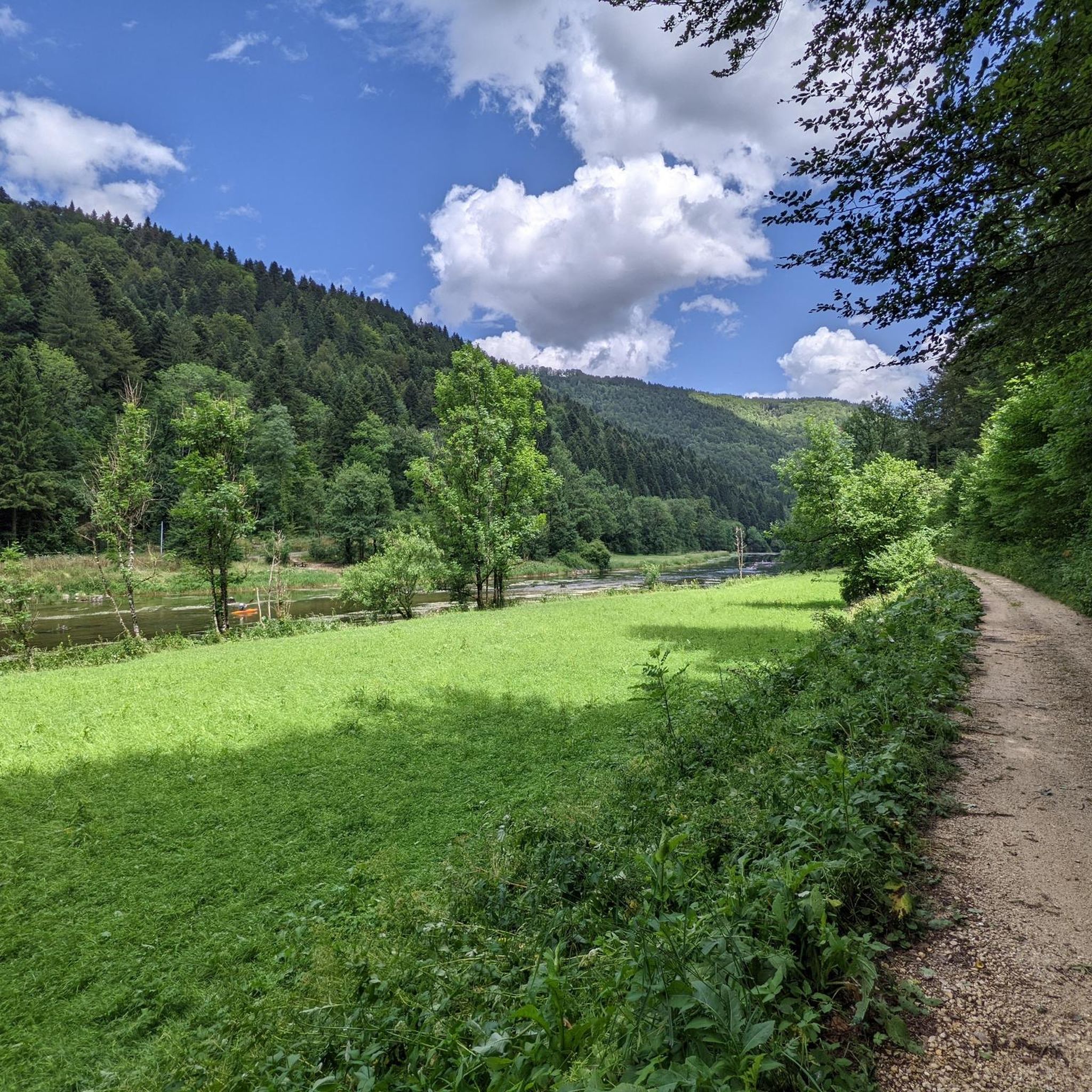
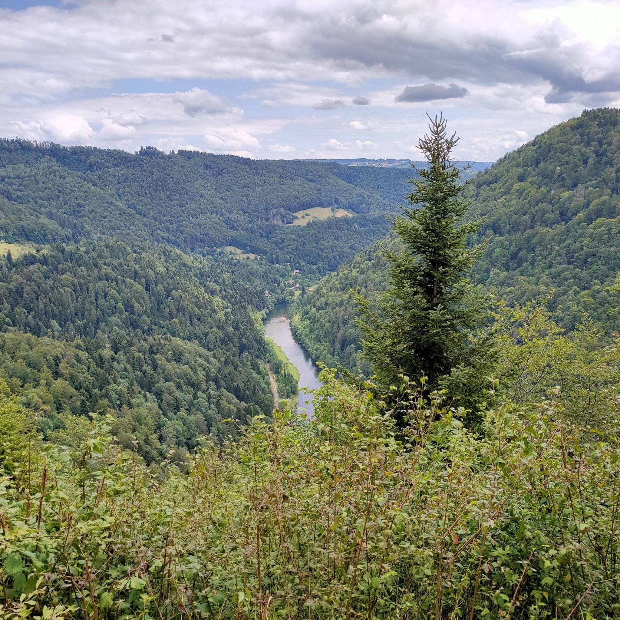
Hiking around Montbéliard offers diverse landscapes, situated as a transitional zone between the Vosges and Jura Mountains in eastern France. The region features forested hills, river valleys, and natural rock formations, providing varied terrain for outdoor activities. The Doubs Horloger Regional Natural Park and the Doubs River are central to the area's natural appeal, with numerous trails along waterways and through woodlands.
Best hiking trails around Montbéliard
- The most popular hiking route is Franco-Swiss Smugglers' Trail from Goumois, a 7.8 miles (12.5 km) trail that takes 3 hours 31 minutes to complete, offering insights into the region's history.
- Another top favourite among local hikers is The Bisontin Cave — loop in the Doubs Horloger Regional Natural Park, a moderate 4.1 miles (6.5 km) path. This route explores the natural features within the regional park.
- Local hikers also love the Les Echelles de la Mort par la Cendrée — loop in the parc naturel régional du Doubs Horloger, a 5.2 miles (8.4 km) trail leading through the Doubs Horloger Regional Natural Park, often completed in about 2 hours 50 minutes.
- Hiking around Montbéliard is defined by forested hills, river valleys, and natural rock formations within the Doubs Horloger Regional Natural Park. The network offers options for easy, moderate, and difficult ability levels.
- The routes in Montbéliard are highly rated by the komoot community with an average score of 4.4 stars from more than 1000 reviews. More than 5000 hikers have used komoot to explore Montbéliard's varied terrain.
Last updated: June 23, 2026
4.6
(78)
313
hikers
12.5km
03:31
240m
230m
Hike the moderate 7.8-mile Franco-Swiss smuggling trails loop from Goumois, exploring historical routes and scenic views along the Doubs riv
4.7
(46)
155
hikers
6.52km
02:07
210m
210m
Moderate hike. Good fitness required. Mostly accessible paths. Sure-footedness required.

Sign up for free
4.2
(20)
68
hikers
Moderate hike. Good fitness required. Mostly accessible paths. Sure-footedness required.
4.5
(12)
172
hikers
4.42km
01:07
10m
10m
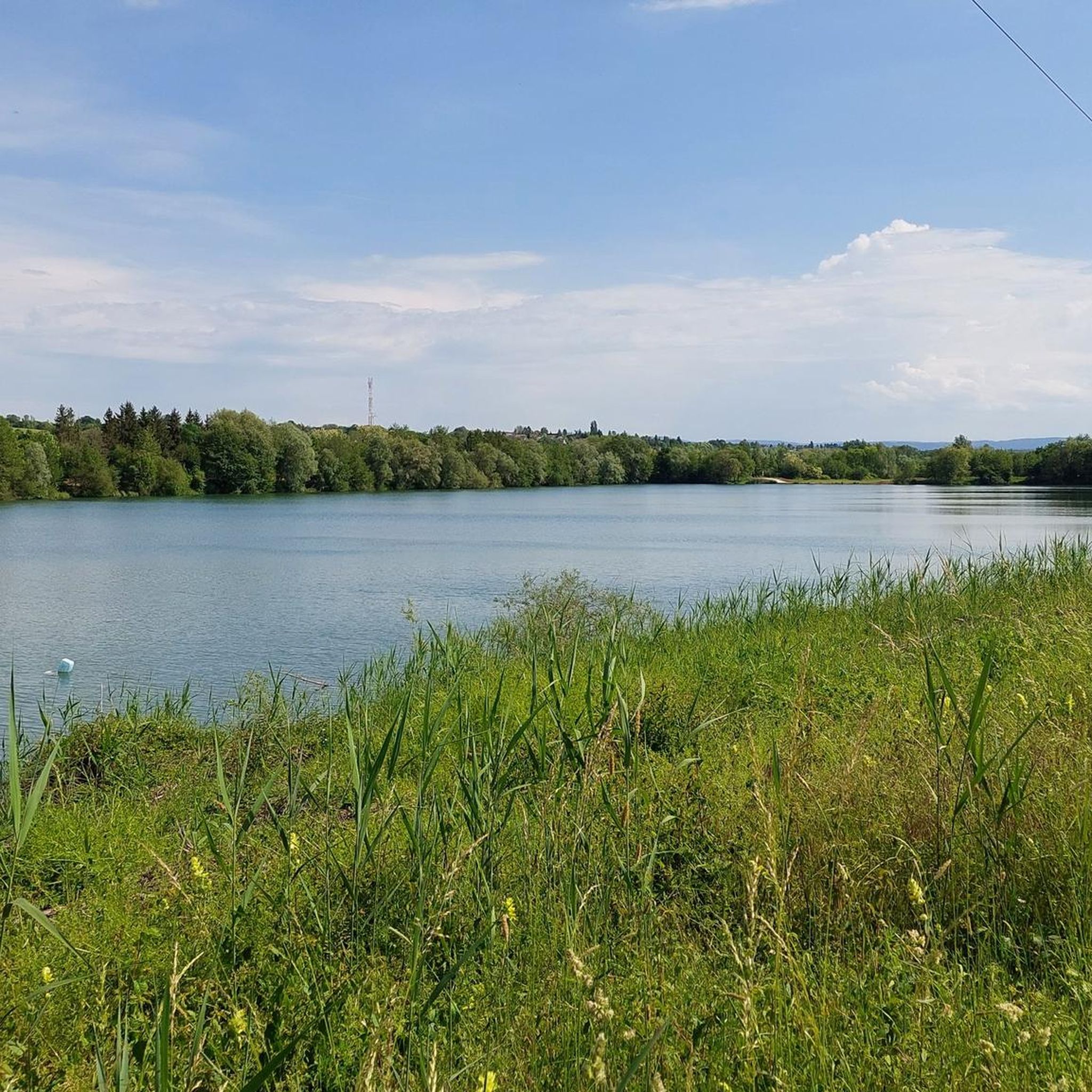
Hike an easy 2.7-mile (4.4 km) loop through the Savoureuse Valley Nature Reserve, enjoying lakeside views and diverse wetlands.
4.6
(28)
140
hikers
9.95km
02:50
230m
230m
Moderate hike. Good fitness required. Easily-accessible paths. Suitable for all skill levels.
4.3
(11)
66
hikers
21.5km
05:49
300m
300m
Hike Along the Doubs - Stage 3, a difficult 13.3-mile route through Parc du Doubs with river views and natural rock formations.
4.7
(11)
48
hikers
Moderate hike. Good fitness required. Easily-accessible paths. Suitable for all skill levels.
3.8
(8)
28
hikers
13.9km
04:07
410m
410m
Moderate hike. Good fitness required. Mostly accessible paths. Sure-footedness required.
3.8
(5)
34
hikers
8.06km
02:02
20m
20m
Moderate hike. Good fitness required. Mostly accessible paths. Sure-footedness required.
4.5
(4)
9
hikers
15.7km
04:36
360m
360m
Hike the moderate 9.7-mile Lomont Batteries loop in Crêt des Roches nature reserve, featuring historical forts and panoramic Doubs Valley vi
Get access to more routes and recommendations from other explorers.
Sign up for free
Already have an account?
Our route recommendations are based on thousands of hikes, rides, and runs completed by other people on komoot.
Start today with a free account
Your next adventure awaits.
Login or Signup

Other adventures around Montbéliard


Tips from the Community

Goumois offers some culinary surprises, e.g. trout and other specialties.
0
0

An impressively large amphitheater dating from Roman times
1
0

E-bike, considering portage areas just after Biaufond and steep climb to reach St.-Brais
0
0

A small, charming chapel. I particularly liked the two stained-glass windows.
3
0

Really impressive, you should definitely spend some time there.
1
0

A rock that unmistakably resembles the face of a monkey 😉
0
0
The Chapelle du Bief d'Etoz, small, charming, and somewhat enchanted. A hint of the past wafts through the trees here. The chapel was built in 1692 – because a man fell from his horse and made a promise. I understand him. Anyone who falls here also promises all sorts of things – especially to choose flatter paths next time. The climb up to Le Noirmont is still quite demanding 😅
3
0

Please note that most of the photos associated with the route are photos of the via ferrata and the names of the ladders themselves, which are very solid stairs and not rope bridges! It is perfectly feasible for hiking, even if the height can be disconcerting.
4
1
Frequently Asked Questions
How many hiking trails are available around Montbéliard?
The Montbéliard region offers a vast network of over 400 hiking trails. These routes cater to all abilities, with a good mix of easy, moderate, and challenging options, ensuring there's a path for every hiker.
What types of landscapes can I expect to see while hiking near Montbéliard?
Hiking around Montbéliard provides a diverse range of landscapes, as it sits between the Vosges and Jura Mountains. You'll encounter forested hills, picturesque river valleys along the Doubs, and unique natural rock formations. The Doubs Horloger Regional Natural Park is a prominent feature, offering trails through varied terrains.
Are there any family-friendly hiking routes in the Montbéliard area?
Yes, Montbéliard has several easy trails suitable for families. For instance, the Brognard Leisure Center Grand Loop is an easy option. The region's well-maintained paths, especially along the Montbéliard–Haute-Saône Canal or in the Parc du Près-la-Rose, are also great for leisurely family walks.
Can I find trails with waterfalls or other natural water features?
Absolutely. The region is known for its natural water features. You can explore routes like Le rocher du Bourbet and la cascade de Waroly, which features the Waroly waterfall. The Chute du Bief loop also offers a chance to see a waterfall.
Are there any challenging hikes for experienced trekkers?
For those seeking a challenge, the Montbéliard area does not disappoint. The famous Les Echelles de la Mort par la Cendrée offers a thrilling experience with metal ladders and a via ferrata course within the Doubs gorges. Additionally, longer routes like Along the Doubs - Stage 3 provide a more demanding, longer-distance hike.
What are some notable landmarks or points of interest along the hiking trails?
The region is rich in both natural and historical landmarks. You can discover the dramatic Ladders of Death, explore the Bisontin Cave, or visit the Fontaine de Roches. Historic bridges like Goule Bridge and La Rasse Bridge over the Doubs River also offer interesting sights.
Are there any circular hiking routes available?
Yes, many trails in the Montbéliard region are designed as loops, allowing you to start and end at the same point. Examples include The Bisontin Cave loop, Les Echelles de la Mort par la Cendrée — loop, and Étang du Pâquis — loop in the Savoureuse Valley nature reserve.
What is the best season to go hiking in Montbéliard?
The Montbéliard region is enjoyable for hiking across multiple seasons. Spring and autumn offer pleasant temperatures and vibrant scenery, with blooming flowers or colorful foliage. Summer is also popular, especially for trails along waterways or in shaded forests. Winter hiking is possible, but conditions can vary, so checking local weather is essential.
What do other hikers enjoy most about the trails in Montbéliard?
The trails in Montbéliard are highly rated by the komoot community, with an average score of 4.4 stars from over 1000 reviews. Hikers often praise the diverse landscapes, from river valleys to forested hills, and the well-maintained network of paths. The blend of natural beauty and historical insights, such as on the Franco-Swiss Smugglers' Trail, is also frequently highlighted.
Are there any trails that follow canals or rivers?
Yes, the presence of the Doubs River and the Montbéliard–Haute-Saône Canal provides excellent opportunities for riverside and canal-side walks. These paths are generally well-maintained and offer picturesque views, perfect for a relaxed stroll or a longer hike. The Montbéliard–Haute-Saône Canal beside the Allan is a great example of such a route.
Where can I find more information about hiking itineraries in the Montbéliard area?
For additional hiking itineraries and local information, you can visit the official tourism website for the region: paysdemontbeliard-tourisme.com. This resource can provide further details on specific routes and regional highlights.
Most popular routes around Montbéliard
Most popular attractions around Montbéliard

Get inspired with the komoot mobile app


Didn’t find what you were looking for?
Check out more Hikes throughout Montbéliard below and find the perfect route in your destination.
Explore more
Browse the best Hikes in other regions.
