The best road cycling routes around Thiers
4.2
(201)
6,130
riders
404
rides
Road cycling around Thiers offers diverse terrain within the Livradois-Forez Regional Natural Park, characterized by rolling hills and varied landscapes. The region features the Forez Mountains, extensive forests, and the Dore Valley, providing a dynamic environment for cyclists. Routes often include challenging ascents to cols and offer panoramic views of the surrounding mid-mountain areas. The area's geology includes basalt formations and glacial valleys, contributing to its unique character.
Best road cycling routes around Thiers
- The most popular road cycling route…
Last updated: August 31, 2026
3.9
(9)
1,647
riders
112km
05:00
1,100m
1,100m
Hard road ride. Very good fitness required. Some segments of this route may be unpaved and difficult to ride.
3.0
(2)
23
riders
60.8km
03:12
1,060m
1,060m
Hard road ride. Very good fitness required. Mostly well-paved surfaces and easy to ride.

Sign up for free
4.7
(3)
367
riders
Hard road ride. Very good fitness required. Mostly well-paved surfaces and easy to ride.
4.8
(5)
376
riders
41.2km
01:46
240m
240m
Moderate road ride. Great for any fitness level. Some segments of this route may be unpaved and difficult to ride.
5.0
(3)
79
riders
61.4km
03:18
1,220m
1,220m
Hard road ride. Very good fitness required. Mostly well-paved surfaces and easy to ride.
4.5
(2)
83
riders
61.6km
02:53
680m
680m
Moderate road ride. Good fitness required. Some segments of this route may be unpaved and difficult to ride.
4.0
(8)
174
riders
48.4km
01:54
150m
150m
Moderate road ride. Great for any fitness level. Some segments of this route may be unpaved and difficult to ride.
5.0
(2)
55
riders
81.4km
04:19
1,530m
1,530m
Hard road ride. Very good fitness required. Mostly well-paved surfaces and easy to ride.
58
riders
118km
06:17
2,320m
2,320m
Hard road ride. Very good fitness required. Mostly well-paved surfaces and easy to ride.
4.0
(1)
45
riders
82.3km
04:32
1,730m
1,730m
Hard road ride. Very good fitness required. Mostly well-paved surfaces and easy to ride.
Get access to more routes and recommendations from other explorers.
Sign up for free
Already have an account?
Our route recommendations are based on thousands of hikes, rides, and runs completed by other people on komoot.
Start today with a free account
Your next adventure awaits.
Login or Signup
Popular around Thiers
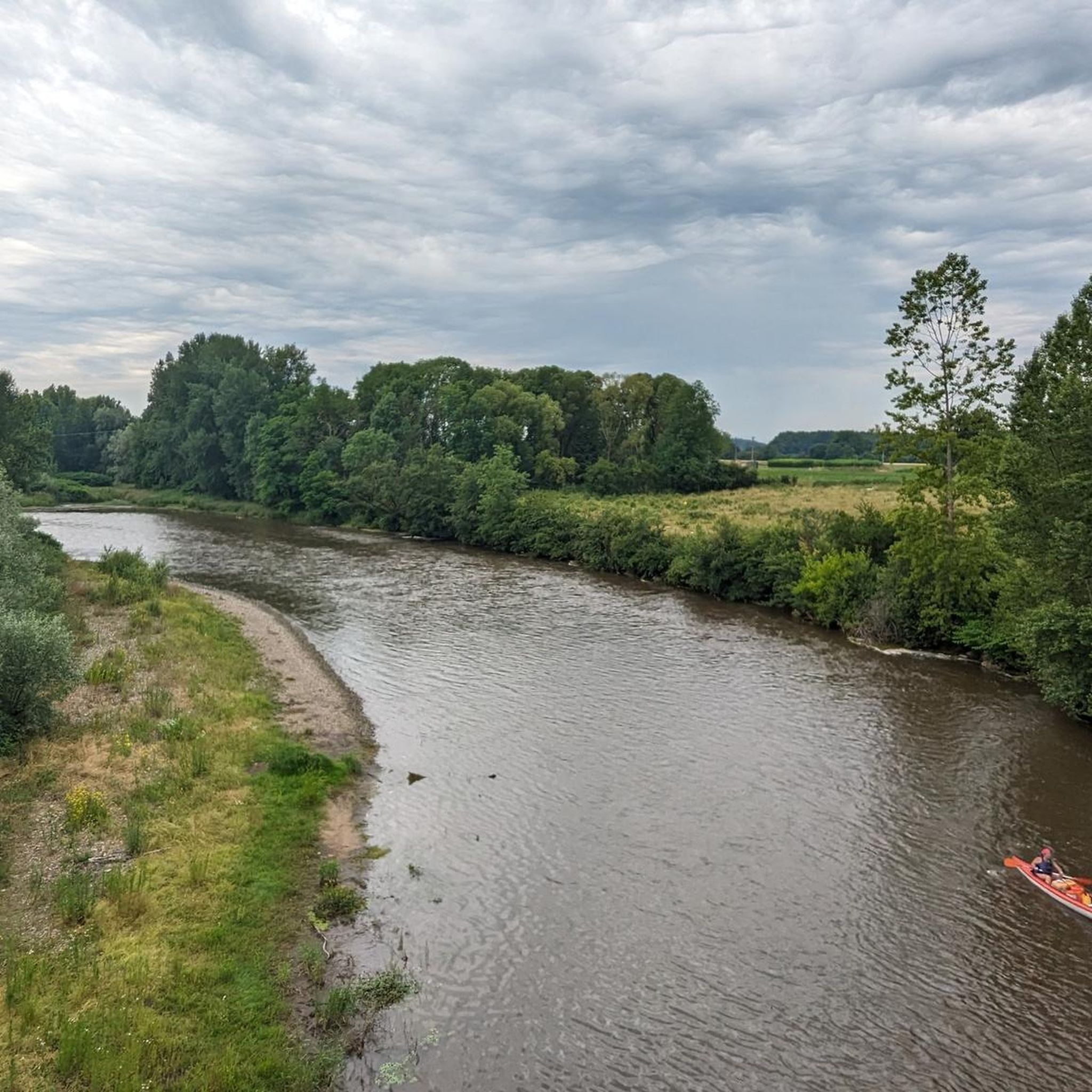
Road Cycling Routes around Limons
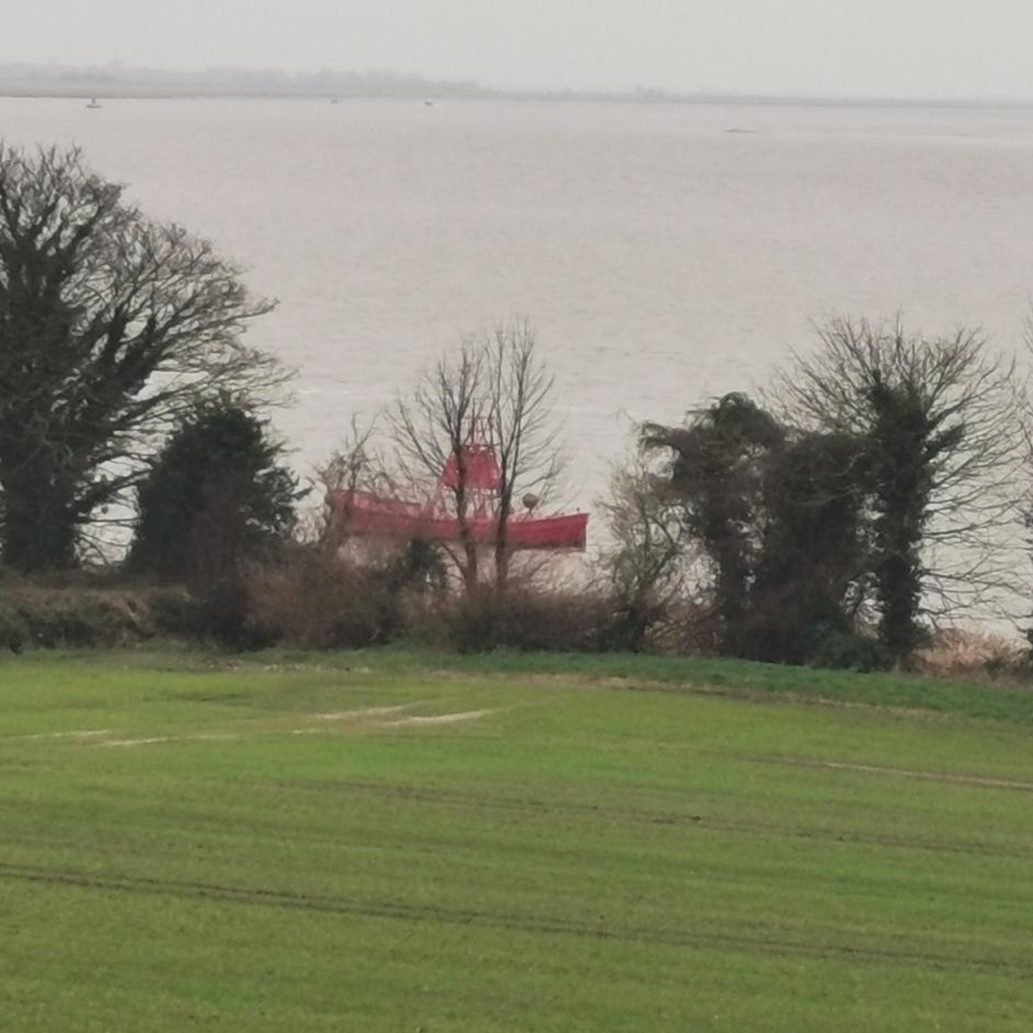
Road Cycling Routes around Noalhat
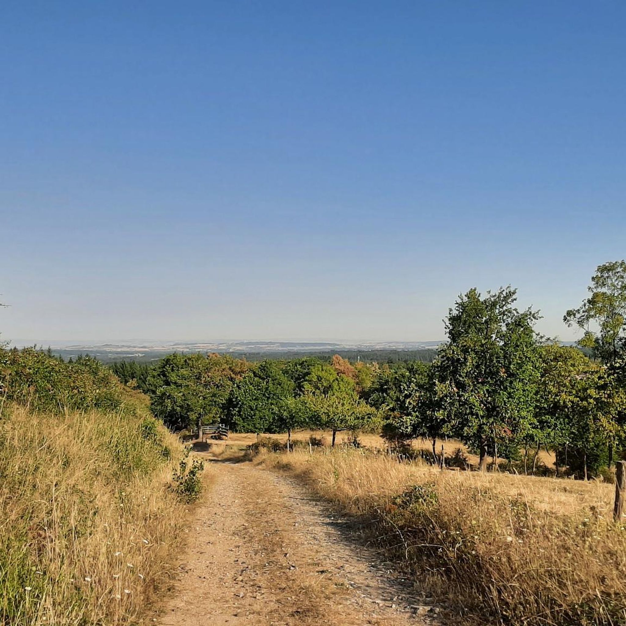
Road Cycling Routes around Vinzelles
Road Cycling Routes around Charnat
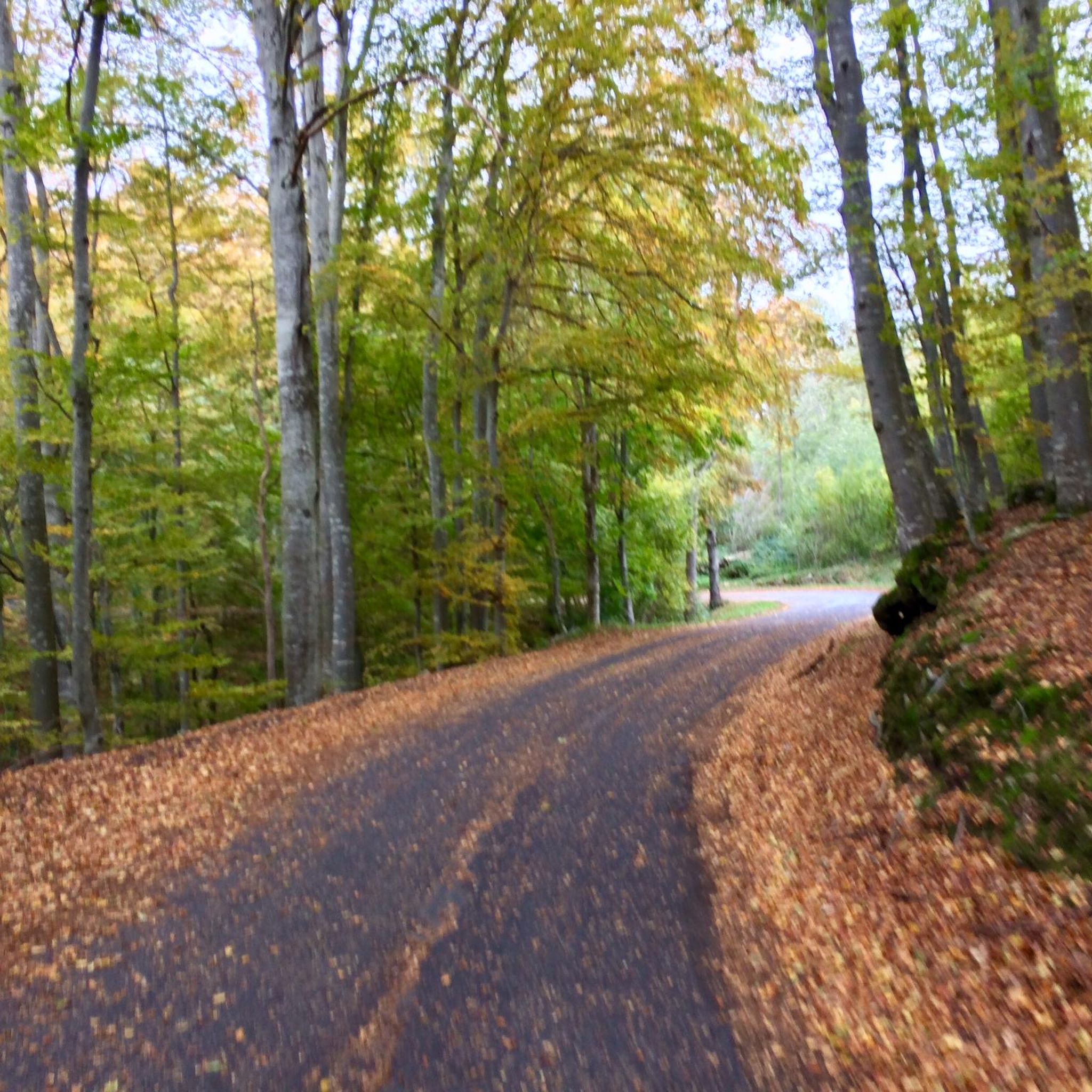
Road Cycling Routes around Puy-Guillaume
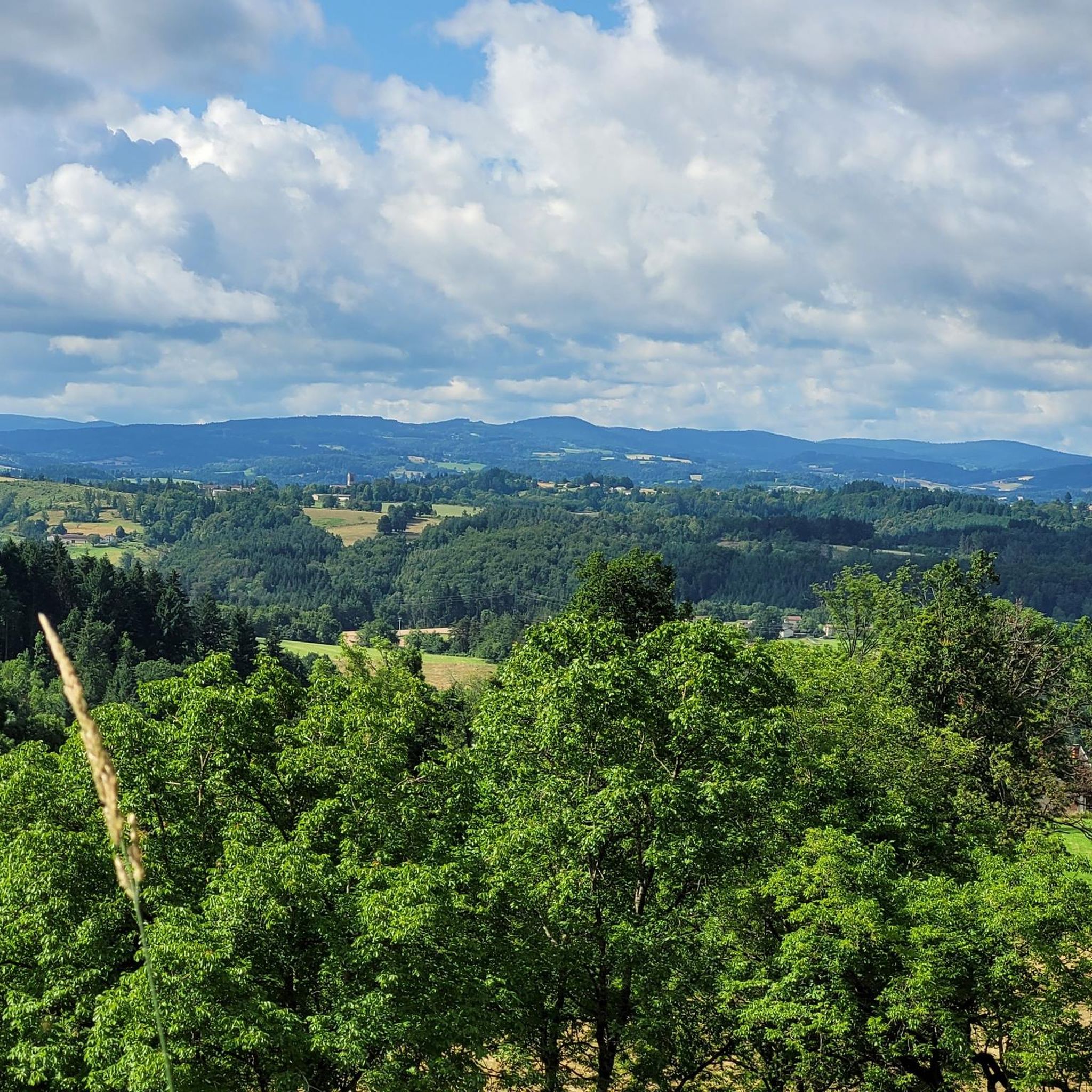
Road Cycling Routes around Aubusson-D'Auvergne
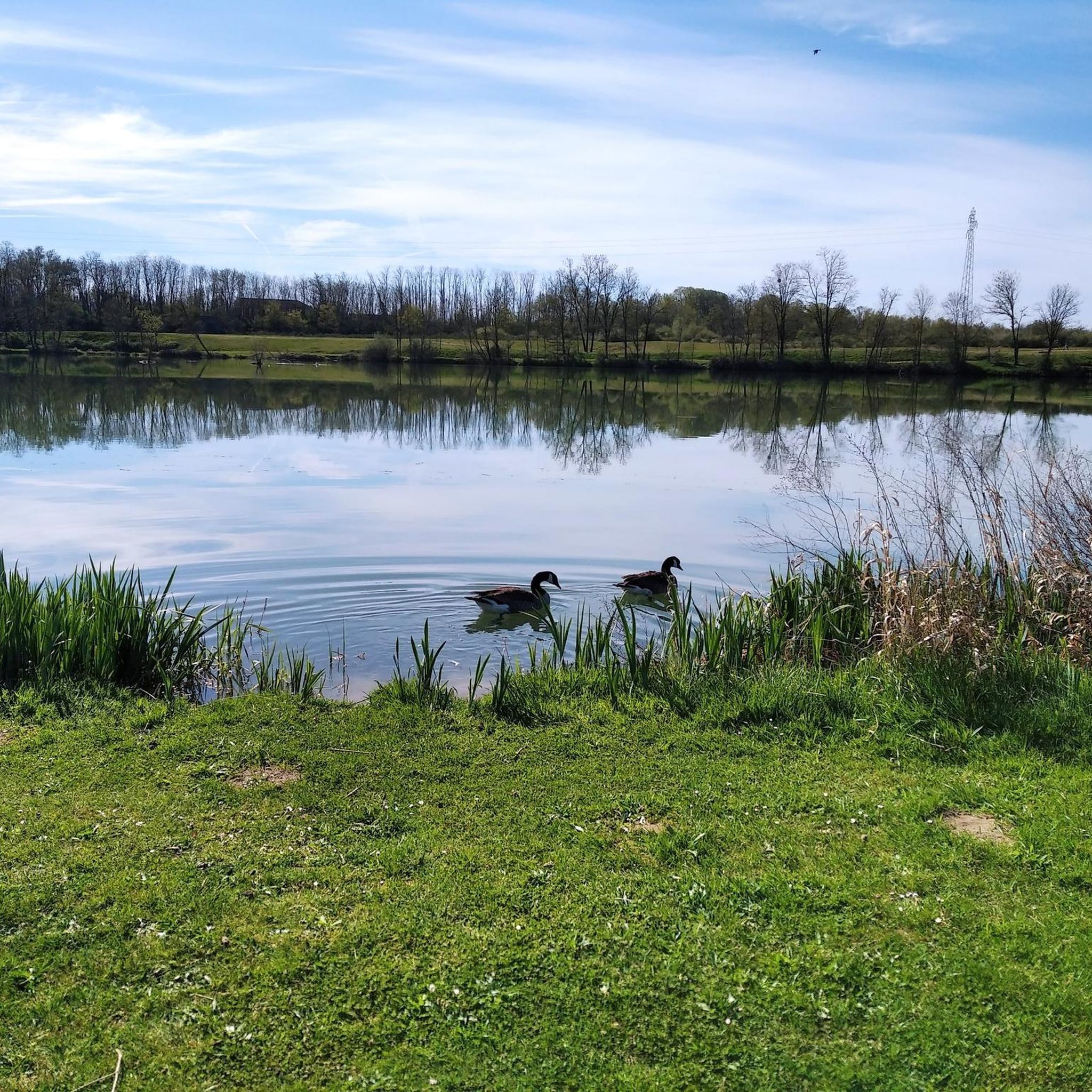
Road Cycling Routes around Orléat
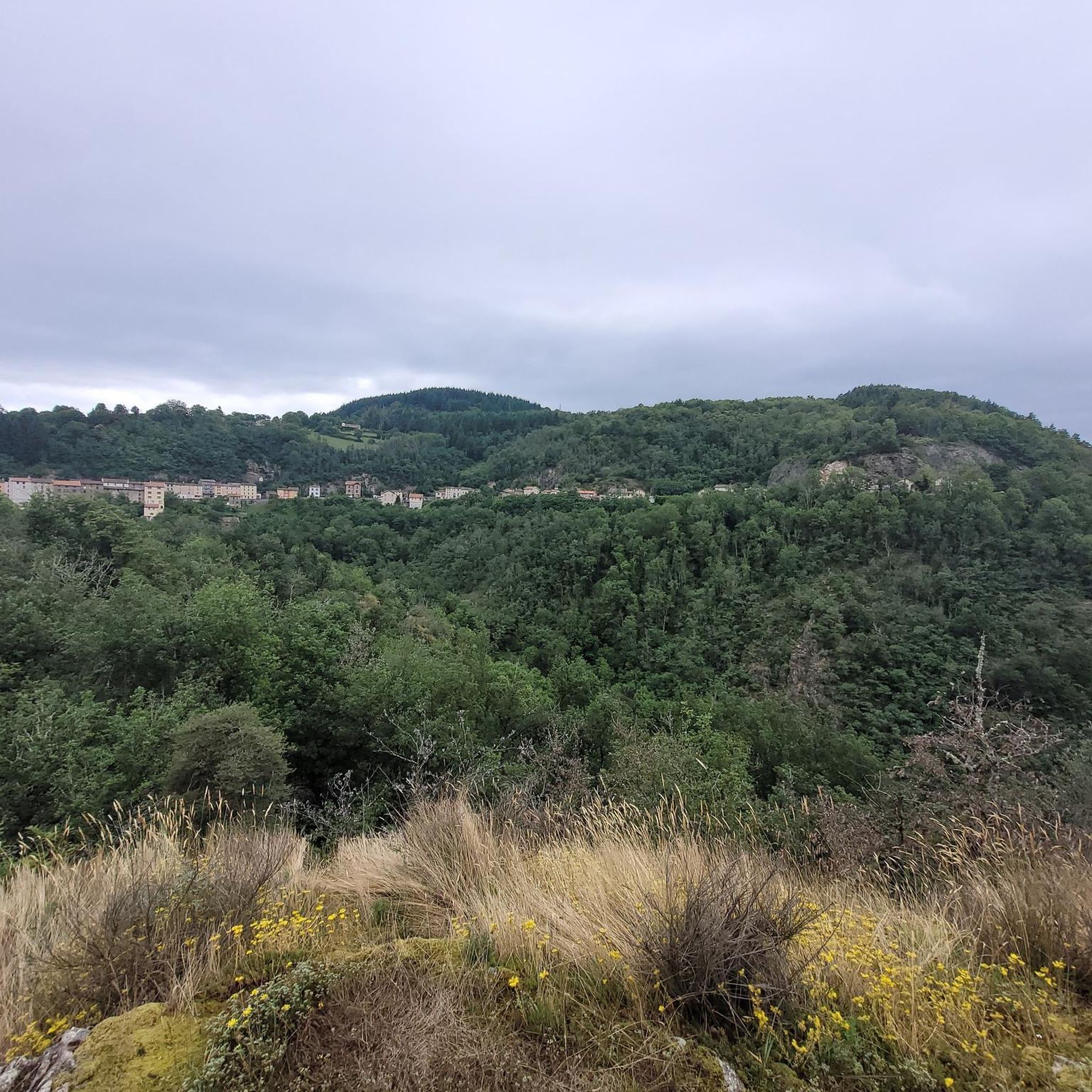
Road Cycling Routes around Saint-Jean-D'Heurs
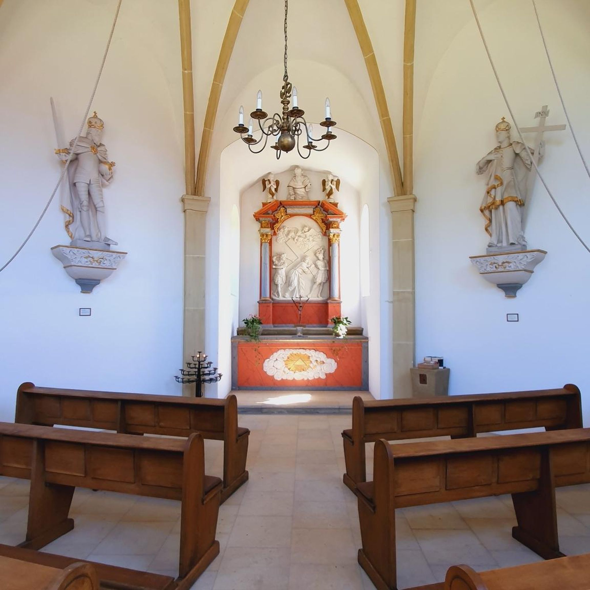
Road Cycling Routes around La Monnerie-Le-Montel
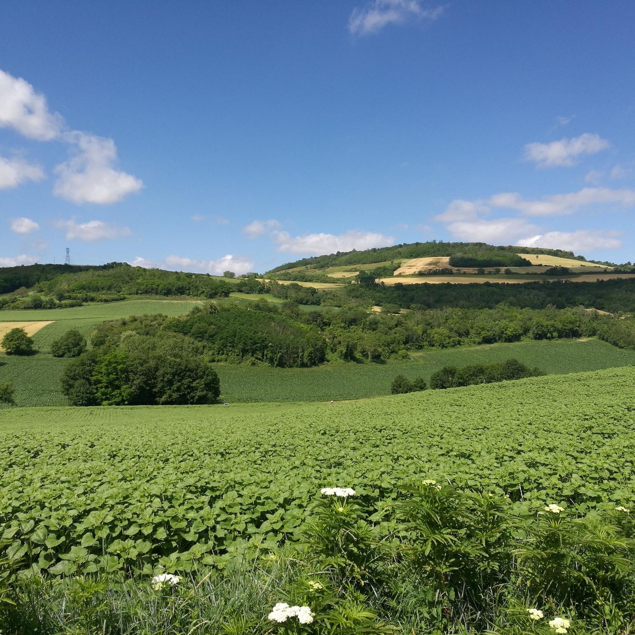
Road Cycling Routes around Lezoux
Other adventures around Thiers


Tips from the Community

The site of Château de Maulmont was, in the 13th century, the Templar Commandery of la Gagère, built by the Grand Master of the Order of the Temple, Renaud de Vichy, upon his return from crusade in 1255. This Commandery of the Templar Order is built on the hills overlooking the banks of the Allier. Of the old castle, the wine cellars and some ivy-covered walls remain, pierced by doors with the Templars' coats of arms, battlements, and sculpted mullioned windows. At the beginning of the 14th century, Philippe Le Bel, King of France, took possession of all the Templars' properties and is said to have exchanged the Templars' fortress for residences belonging to Guillaume IV, based on an appraisal by the Count of Auvergne. Château de Maulmont was named after Agnès de Maulmont, wife of Guillaume IV, who came to live there after her husband's death. After the last descendant, Françoise de Maulmont, who died in the 15th century, the castle was inhabited by several nobles such as the Duchess of Praslin and the Marquis de Grollier. In 1829, H.R.H. Princess Adélaïde Louise d'Orléans (1777-1847), sister of King Louis Philippe d'Orléans (1773-1850) and owner of the royal domain of Randan, acquired the commandery of Maulmont. Princess Adélaïde had the Commandery demolished with the intention of building a hunting lodge on its site. In 1830, she entrusted the construction of Château de Maulmont to the architect Fontaine, to whom we owe the famous "Galerie des Batailles" at the Château de Versailles. King Louis Philippe used to come with the Court of France to hunt on the lands of Maulmont and Randan. In 1847, Maulmont passed by legacy to her nephew, Antoine d'Orléans (1824-1890), Duke of Montpensier. In 1886, the Montpensiers ceded the castle to Alfred du Guèrinet. In 1890, he commissioned the architect Honoré Vianne to transform the building into a true castle. These works mainly concern the wings flanking the entrance block, which were raised by one storey and whose flat roofs were transformed. Today, at Château de Maulmont, the memory of the past and the charm of the present coexist harmoniously.
0
0

A beautiful area with, by French standards, excellent cycle paths, occasionally some potholes etc. for a bike with 5cm tires a nice tour in this lovely country.
0
0

First bike path, nice ride for the average touring cyclist.
0
0

A pass lost in the fir woods, a warning to those who would like to do it, it climbs and not a little.
0
0
A very nice and pleasant pass with several climbs more or less accessible depending on the level and distance. Each side offers its share of landscapes and small villages. If you want to climb it for the beauty of the landscapes, I recommend the ascent via Les Noës or via Charrier, and for those seeking a difficult climb, Charrier also serves as the hardest side.
1
0
The climb from Ris was very pleasant, winding through the trees and very quiet.
1
0

A breathtaking view of the Forez Mountains. A site that's well worth the effort...
0
0
Frequently Asked Questions
How many road cycling routes are available around Thiers?
There are over 400 road cycling routes around Thiers, offering a wide range of options for different skill levels. The komoot community has explored these routes over 5,000 times, highlighting the region's popularity among cyclists.
What kind of terrain can I expect when road cycling near Thiers?
Road cycling around Thiers primarily features a mid-mountain region with rolling hills, challenging ascents, and varied landscapes within the Livradois-Forez Regional Natural Park. You'll encounter the Forez Mountains, extensive forests, glacial valleys, and the scenic Dore Valley. Routes often include climbs to cols and offer panoramic views.
Are there challenging road cycling routes for experienced riders in Thiers?
Yes, Thiers is known for its challenging climbs and mountain passes. For instance, the Col de la Plantade Loop from Thiers is a difficult route with significant climbs and extensive views. The iconic Col du Béal, featured in races like the Tour de l'Avenir, can be tackled via routes such as the Béal Pass – Lac d'Aubusson d'Auvergne loop from Courpière or the Béal Pass – Col de la Loge loop from Augerolles, offering substantial elevation gain.
Are there any easy or beginner-friendly road cycling routes around Thiers?
Yes, there are routes suitable for beginners or those looking for a more relaxed ride. For example, the Allier – The Pavillon des Célestins loop from Puy-Guillaume is an easy 30.7-mile (49.4 km) trail that leads through the Allier valley with minimal elevation gain, making it a great option for a less demanding experience.
What are the best times of year to go road cycling in Thiers?
The best time to visit Thiers for road cycling is generally during the spring (April to June) and autumn (September to October) when the weather is milder and the landscapes are particularly beautiful. Summer can also be pleasant, especially in the higher elevations, but be prepared for potentially warmer temperatures in the valleys. Always check the local weather forecast before heading out.
What do other road cyclists enjoy most about cycling in Thiers?
The road cycling routes around Thiers are highly rated by the komoot community, with an average score of 4.2 stars from over 155 reviews. Cyclists often praise the diverse terrain, from rolling hills to challenging mountain passes, and the stunning panoramic views of the Forez Mountains, Chaîne des Puys, and even the distant Alps on clear days.
Are there any circular road cycling routes near Thiers?
Yes, many of the routes around Thiers are designed as loops, allowing you to start and end in the same location. Examples include the challenging Col de la Plantade Loop from Thiers, the scenic Col de la Charmé – Plantade Pass loop from Thiers, and the easier Allier – The Pavillon des Célestins loop from Puy-Guillaume.
What natural landmarks or viewpoints can I see along the road cycling routes?
The region offers numerous natural landmarks and breathtaking viewpoints. You can experience the vastness of the Livradois-Forez Regional Natural Park, with its extensive forests and glacial valleys. Routes often provide panoramic vistas of the Forez Mountains, and on clear days, you might even spot the Chaîne des Puys, the Sancy massif, and the distant Alps. Specific highlights include Puy de Montoncel and various mountain passes like Plantade Pass and Col de la Charmé.
Are there any historical or cultural attractions to explore while cycling near Thiers?
Beyond natural beauty, Thiers itself is known as the 'Cutlery Capital,' with a rich industrial heritage. While cycling, you might pass by historical sites such as the Usine du Creux in the Vallée des Usines or the Rouets Valley, which offer glimpses into the region's past. Some routes, like the Châteldon Castle – Château de Busset loop from Pont de Ris, also pass by notable castles.
What are some of the longer road cycling routes available?
For those seeking longer distances, routes like the Busset Climb – Château de Busset loop from Puy-Guillaume covers over 112 km (70 miles) with significant elevation. Another extensive option is the Arcon – Col de la Loge des Gardes loop from Chabreloche, which stretches for over 118 km (73 miles) and features substantial climbing.
Can I find routes that incorporate the Col du Béal?
Absolutely, the Col du Béal is a prominent feature in several challenging road cycling routes. You can experience this iconic climb on tours such as the Béal Pass – Lac d'Aubusson d'Auvergne loop from Courpière or the Le Brugeron Village – Béal Pass loop from Lezoux. These routes offer the chance to ascend the pass, known for its steady gradients and rewarding views.
Are there road cycling routes that connect to broader cycling networks?
Yes, Thiers is connected to larger cycling networks. The region is part of Auvergne's cycling collection, including routes like the 'Via Allier' and the 'GT2V'. These networks offer opportunities for longer-distance cycling adventures beyond the immediate vicinity of Thiers.
Most popular routes around Thiers
Most popular attractions around Thiers

Get inspired with the komoot mobile app


Didn’t find what you were looking for?
Check out more Road cycling routes throughout Thiers below and find the perfect route in your destination.
Explore more
Browse the best Road cycling routes in other regions.
