The best road cycling routes around Saint-Jean-D'Angély
4.4
(57)
1,584
riders
426
rides
Road cycling around Saint-Jean-D'Angély offers diverse landscapes, characterized by the meandering Boutonne River and its valley, providing picturesque riverside routes. The terrain includes a mosaic of forests, meadows, and agricultural lands, with gentle gradients and some moderate climbs. Cyclists can also find routes winding through the renowned Cognac vineyards. This region provides varied road cycling experiences suitable for different fitness levels.
Best road cycling routes around Saint-Jean-D'Angély
- The most popular road cycling route is Saint-Jean-d'Angély and the Banks of the Boutonne Loop, a 48.4 miles (77.9 km) trail that takes 3 hours 22 minutes to complete. This moderate route offers diverse scenery along the riverbanks and passes historical landmarks.
- Another top favourite among local road cyclists is Nantillé, La-Chapelle-des-Pots et Saint-Bris-des-Bois in a loop, an easy 26.3 miles (42.3 km) path. This route winds through charming villages and agricultural landscapes.
- Local road cyclists also love the Banks of the Boutonne Loop, a 39.4 miles (63.4 km) trail leading through the picturesque Boutonne River valley, often completed in about 2 hours 58 minutes.
- Road cycling around Saint-Jean-D'Angély is defined by river valleys, agricultural lands, and vineyards. The network offers options for different ability levels, from easy loops to more challenging paths.
- The routes in Saint-Jean-D'Angély are highly rated by the komoot community with an average score of 4.4 stars from over 40 reviews. More than 1200 road cyclists have used komoot to explore Saint-Jean-D'Angély's varied terrain.
Last updated: August 30, 2026
5
riders
77.9km
03:23
510m
510m
Moderate road ride. Good fitness required. Mostly well-paved surfaces and easy to ride.
4.5
(2)
4
riders
42.3km
01:55
290m
290m
Easy road ride. Great for any fitness level. Mostly well-paved surfaces and easy to ride.

Sign up for free
2
riders
96.2km
04:18
560m
560m
Moderate road ride. Good fitness required. Mostly well-paved surfaces and easy to ride.
4
riders
57.3km
02:33
320m
320m
Moderate road ride. Good fitness required. Mostly well-paved surfaces and easy to ride.
3
riders
63.4km
02:59
350m
350m
Moderate road ride. Good fitness required. Mostly well-paved surfaces and easy to ride.
4.0
(1)
108
riders
33.4km
01:33
270m
270m
Easy road ride. Great for any fitness level. Mostly well-paved surfaces and easy to ride.
4.0
(2)
49
riders
67.1km
03:09
310m
310m
Moderate road ride. Good fitness required. Some segments of this route may be unpaved and difficult to ride.
4.0
(2)
20
riders
Moderate road ride. Good fitness required. Mostly well-paved surfaces and easy to ride.
3.0
(1)
17
riders
47.2km
02:02
330m
330m
Moderate road ride. Good fitness required. Mostly well-paved surfaces and easy to ride.
14
riders
59.4km
02:22
300m
300m
Moderate road ride. Good fitness required. Mostly well-paved surfaces and easy to ride.
Get access to more routes and recommendations from other explorers.
Sign up for free
Already have an account?
Our route recommendations are based on thousands of hikes, rides, and runs completed by other people on komoot.
Start today with a free account
Your next adventure awaits.
Login or Signup
Popular around Saint-Jean-D'Angély
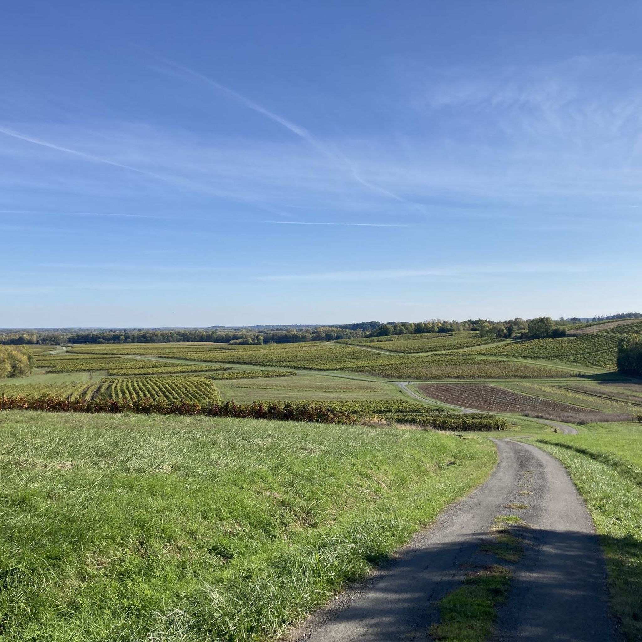
Road Cycling Routes around Bercloux
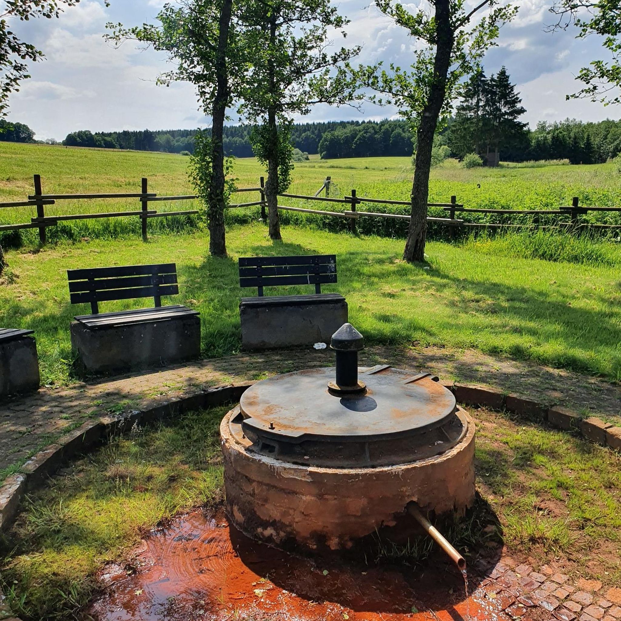
Road Cycling Routes around Saint-Hilaire-De-Villefranche

Road Cycling Routes around Authon-Ébéon
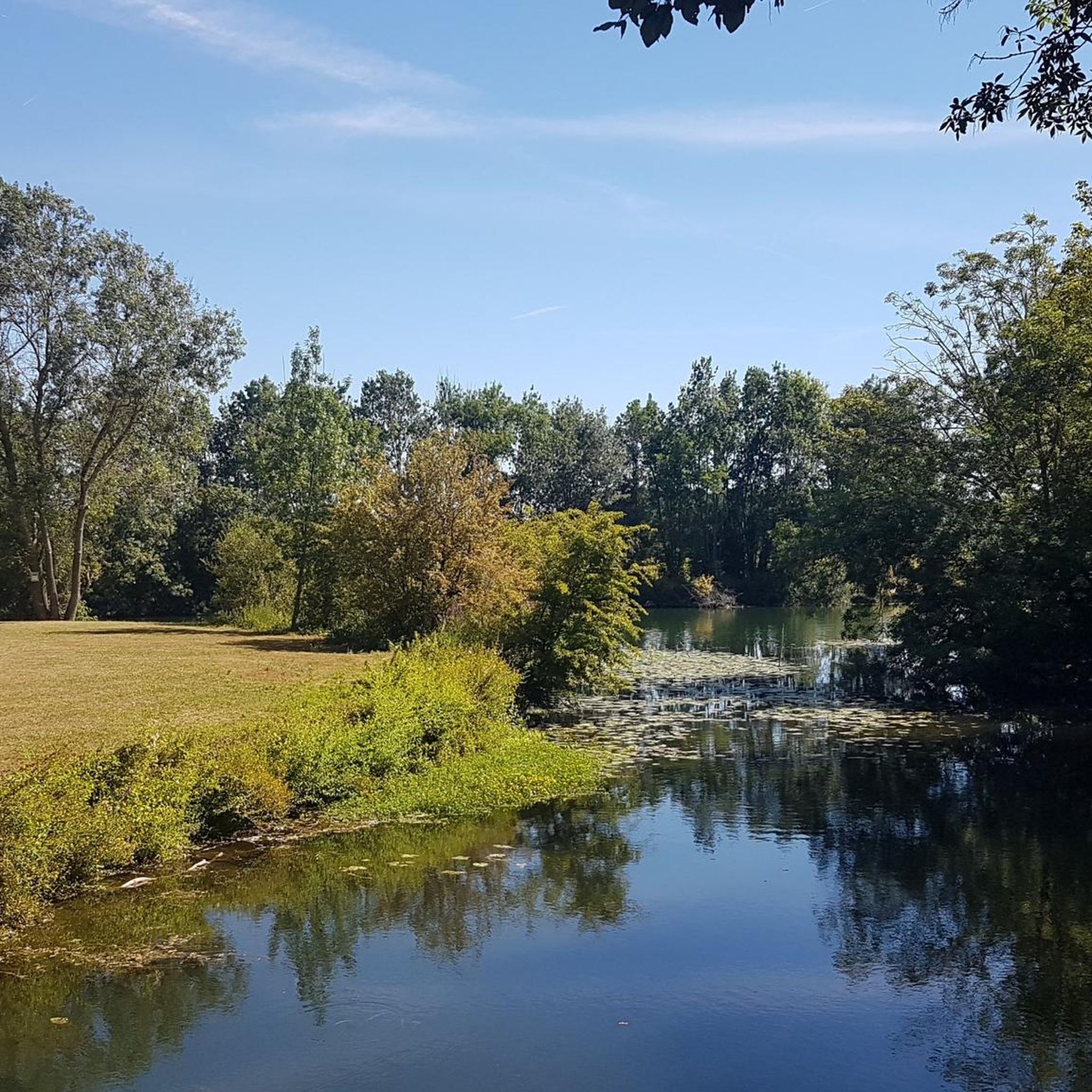
Road Cycling Routes around Brizambourg
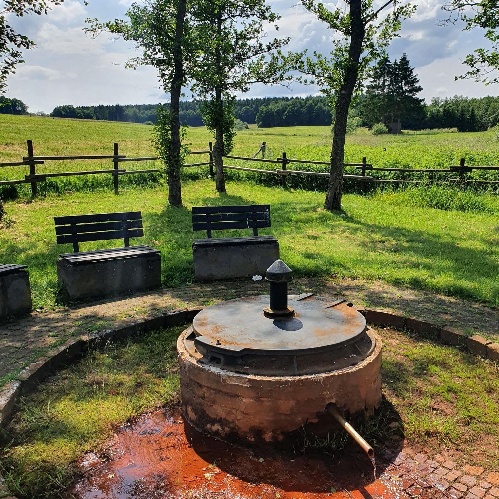
Road Cycling Routes around Nantillé
Road Cycling Routes around Annezay
Road Cycling Routes around Puyrolland
Road Cycling Routes around Nachamps
Road Cycling Routes around Torxé

Road Cycling Routes around Saint-Laurent-De-La-Barrière
Other adventures around Saint-Jean-D'Angély


Tips from the Community

🏛️ Construction: 18-19 AD The arch was built around 18-19 AD, during the reign of Emperor Tiberius. It stood at the entrance to the Roman bridge crossing the Charente, at the outlet of the Via Agrippa, which connected Lyon to Saintes. It is therefore not truly a "triumphal arch": it was both a road monument and a monumental gate marking the entrance to Mediolanum Santonum, the capital of Roman Aquitaine. 👤 Who had it built? The arch was financed by Caius Julius Rufus, a Romanized notable from Saintonge. He dedicated it to Tiberius as well as his nephew Germanicus. The inscriptions engraved on the entablature still allow us today to know the figures to whom it was dedicated. The name "Arch of Germanicus" therefore comes from this dedication, and not from the fact that Germanicus personally had the arch built or crossed it. 🏗️ A rather exceptional monument The arch has two bays, likely allowing for the differentiation of traffic flows. It measures approximately 15 m high by 16 m wide. Its Corinthian and composite capitals bear witness to particularly meticulous Roman architecture. It constituted a true demonstration of the power and Romanization of Saintes. ⚠️ The moment the arch almost disappeared This is probably the most interesting episode in its history. For centuries, the arch was always located at the level of the Roman bridge and then the medieval bridge, on the right bank of the Charente. In the 19th century, the old bridge had become dilapidated. When it was decided to demolish it, around 1843, the arch was also threatened with destruction. It was then that Prosper Mérimée, Inspector General of Historical Monuments, intervened. He advocated for its preservation and arranged for its dismantling, relocation, and reassembly on the new bank. Another figure is also associated with this preservation: Victor Hugo, who stayed in Saintes in September 1843 and intervened in favor of the monument's conservation with Mérimée. 📍 Why is the arch no longer exactly in its ancient location? The arch we see today, on Place Bassompierre, is therefore no longer in its original location. It was moved a few dozen meters during the transformation of the quays and the disappearance of the old bridge. It was dismantled stone by stone and then reassembled in order to preserve it. It is now located in the immediate vicinity of the ancient Roman bridge crossing. 🏛️ Protection The Arch of Germanicus was finally classified as a historical monument in July 1905. An interesting detail The Crazannes quarries, located near Saintes, supplied a limestone widely used in the region's ancient constructions. Crazannes stone was notably used for monuments such as the Arch of Germanicus. In summary: 18-19 → construction of the arch at the entrance to the Roman bridge ↓ Antiquity → Middle Ages → the arch remains associated with the crossing of the Charente ↓ 1843 → demolition of the old bridge and threat to the arch ↓ 1843-1844 → Mérimée's intervention and relocation of the arch ↓ 1905 → classified as a Historical Monument
0
0

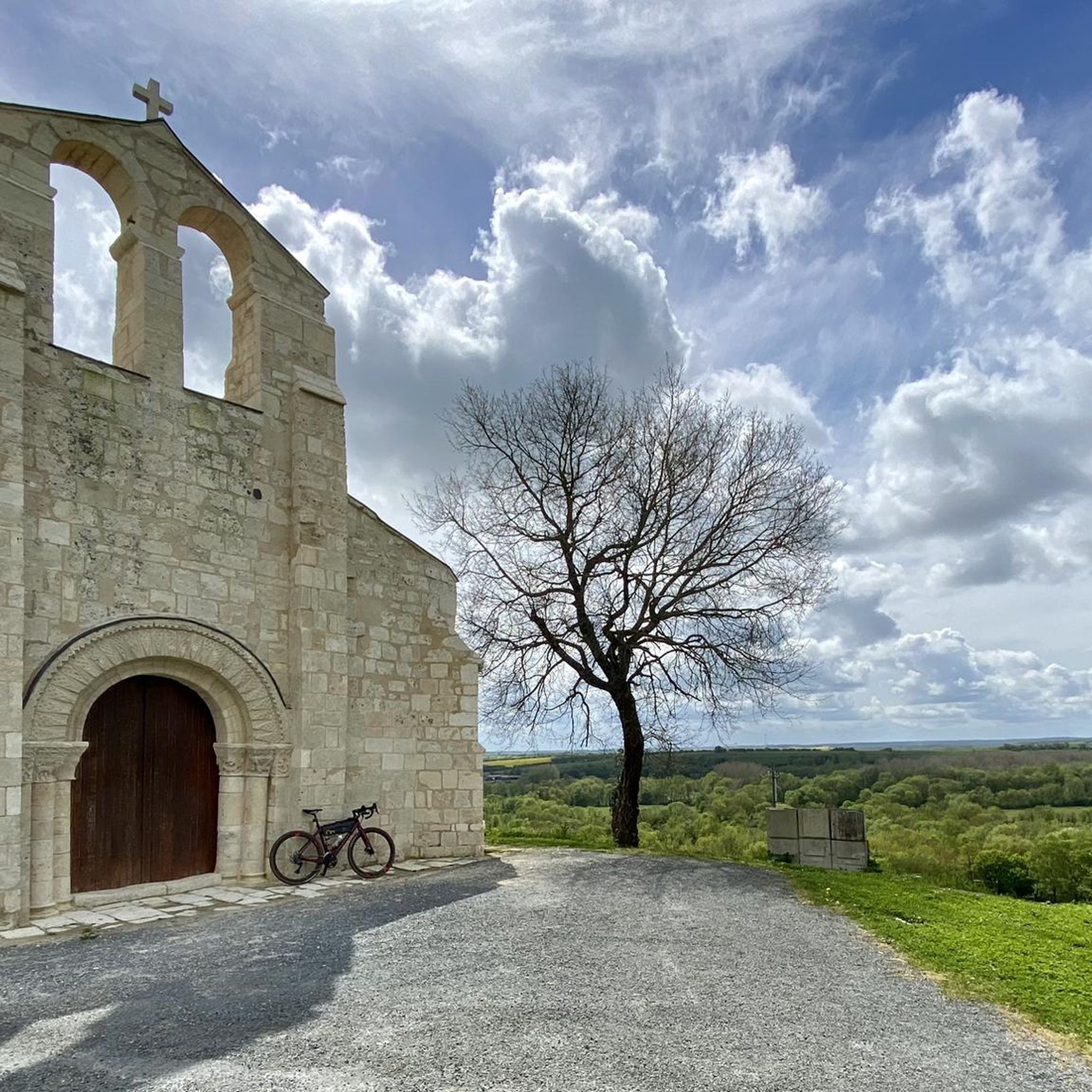
The monumental ruins of the church of St-Pierre de Puyrolland, isolated on a promontory overlooking the Trézence valley, add to the appeal of this beautiful natural site. The high-quality sculpture of the Romanesque portal stands alongside the Gothic elements of the choir, and the charm is captivating. The legend attributes the paternity of this mound to Roland, nephew of Charlemagne. The site is said to have hosted a maison-Dieu (a monastery-hospital intended to accommodate pilgrims and the poor), occupied by the monks of St-Romuald, where a Romanesque church was built. Remains of the first 12th-century construction still exist, notably the lower part of the west facade and two small narrow bays on the north and south walls. After the Hundred Years' War, the building was partially rebuilt: the flat chevet, a bay with Gothic tracery, and the buttresses bear witness to this work. The Wars of Religion led to further destruction and partial reconstruction, as the first two bays of the nave were then closed off to form a modest building that still serves as a parish church today. Work carried out in the 18th and 19th centuries included, among other things, the addition of the tall campanile on the facade, pierced with two round-arched bays. The ruined part of the church was consolidated and restored in the 90s.
0
0

A very beautiful archway!
2
0
Impressive bridge. Well worth seeing!
1
0
A truly interesting bridge. It's worth a stop.
1
0

Almost obligatory passage to cross the Charente, but it’s worth the detour
0
0

Frequently Asked Questions
What kind of terrain can I expect on road cycling routes around Saint-Jean-D'Angély?
The region offers a diverse landscape for road cycling. You'll find routes along the meandering Boutonne River and its valley, through forests, meadows, and agricultural lands. There are also scenic paths winding through the famous Cognac vineyards. The terrain generally features gentle gradients with some moderate climbs, providing a varied and engaging experience.
Are there many road cycling routes available in Saint-Jean-D'Angély?
Yes, Saint-Jean-D'Angély is well-equipped for road cycling, with over 390 routes available. These range from easier loops to more challenging, longer-distance paths, catering to various fitness levels.
What are some notable landmarks or natural features I can see while cycling in the area?
Many routes pass by historical sites and natural attractions. You might cycle near the UNESCO World Heritage site of the Royal Abbey of Saint-Jean-d'Angély, or the historic Clock Tower. Natural features include the picturesque Boutonne River and the Val de Boutonne lake. Routes also often incorporate charming medieval villages and historic churches, such as the Saint-Savinien Church and Statues of the Apostles or the Saint-Pierre Church of Aulnay.
Are there road cycling routes suitable for families or beginners?
Absolutely. The area offers 76 easy routes, perfect for families or those new to road cycling. An example is the Nantillé, La-Chapelle-des-Pots et Saint-Bris-des-Bois in a loop, an easy 42.3 km path that winds through charming villages and agricultural landscapes.
What is the best time of year for road cycling in Saint-Jean-D'Angély?
The region is enjoyable for cycling across various seasons. Spring and autumn offer pleasant temperatures and beautiful scenery, with vineyards changing colors. Summer is also popular, though it can be warmer, making early morning or late afternoon rides ideal. The diverse landscapes, from riverbanks to forests, provide engaging rides throughout much of the year.
Are there any challenging road cycling routes for experienced riders?
Yes, for more experienced cyclists seeking a challenge, there are 10 difficult routes available. Additionally, many moderate routes, such as the Tour of the Cognac Vineyards (96.2 km), offer longer distances and more elevation gain to test your endurance.
What do other road cyclists say about the routes in Saint-Jean-D'Angély?
The road cycling routes in Saint-Jean-D'Angély are highly rated by the komoot community, with an average score of 4.4 stars from over 40 reviews. Cyclists often praise the varied terrain, the picturesque river valleys, and the opportunity to explore charming villages and historical sites along the way.
Are there circular road cycling routes available?
Yes, many of the routes in Saint-Jean-D'Angély are designed as loops, allowing you to start and end in the same location. Examples include the Saint-Jean-d'Angély and the Banks of the Boutonne Loop and the Banks of the Boutonne Loop, which offer diverse scenery along the riverbanks.
Can I find routes that explore the Cognac vineyards?
Indeed. The proximity to the Cognac region means you can find routes that specifically wind through these famous vineyards, offering scenic views and a taste of local culture. The Tour of the Cognac Vineyards is a prime example, covering 96.2 km through this iconic landscape.
What are the typical distances and durations for road cycling routes in the area?
Routes vary significantly in length and duration. You can find shorter, easy loops like the Roadbike loop from Bords, which is 38.7 km and takes about 1 hour 34 minutes. Longer, moderate routes, such as the Saint-Jean-d'Angély and the Banks of the Boutonne Loop, can be around 77.9 km and take over 3 hours.
Are there any routes that connect to larger cycling networks?
Yes, the area offers connectivity to broader cycling networks. For instance, the 'Rives de Boutonne' trail links to the Vélodyssée, and the Scandibérique (EuroVelo 3) also crosses the Charente, providing opportunities for long-distance cycling through river corridors and vineyards.
Where can I find places to eat or stay that are cyclist-friendly?
Saint-Jean-D'Angély and the surrounding charming villages offer various cafes, pubs, and accommodations. Many establishments cater to visitors exploring the region, and you'll find options for refreshments and overnight stays along or near popular cycling routes.
Most popular routes around Saint-Jean-D'Angély
Most popular attractions around Saint-Jean-D'Angély

Get inspired with the komoot mobile app


Didn’t find what you were looking for?
Check out more Road cycling routes throughout Saint-Jean-D'Angély below and find the perfect route in your destination.
Explore more
Browse the best Road cycling routes in other regions.
