The best walks and hikes around La Châtre
4.5
(806)
3,538
hikers
178
hikes
Hiking around La Châtre offers exploration of the Indre department's diverse terrain, characterized by undulating countryside, picturesque bocage, and extensive forests. The region features the winding River Indre and several notable lakes, including Lake Eguzon and Lac du Chambon, which provide scenic backdrops for trails. Hikers can expect paths through hedgerows, pastures, and quiet woodlands, with elevations generally under 200 meters.
Best hiking trails around La Châtre
- The most popular hiking route is Tour of Lake Eguzon Trail, a 18.0 miles (28.9 km) difficult trail that takes 7 hours 56 minutes to complete, offering views of the large lake and surrounding landscapes.
- Another top favourite among local hikers is Gargilesse loop, a moderate 5.6 miles (9.1 km) path. This route explores the area around Gargilesse-Dampierre, recognized as one of France's most beautiful villages.
- Local hikers also love the Les Maitres Sonneurs: Champillet Loop, a 4.3 miles (6.9 km) trail leading through hedgerows and pastures, often completed in about 1 hour 49 minutes.
- Hiking around La Châtre is defined by undulating countryside, bocage, forests, and the River Indre. The network offers options for easy strolls, moderate excursions, and more difficult, longer routes.
- The routes in La Châtre are highly rated by the komoot community with an average score of 4.5 stars from over 600 reviews. More than 3000 hikers have used komoot to explore La Châtre's varied terrain.
Last updated: August 17, 2026
4.7
(18)
89
hikers
28.9km
07:56
470m
470m
Hike the difficult 18.0-mile Lac du Chambon loop, gaining 1528 feet in elevation with views of the volcanic lake and Massif du Sancy.
4.4
(16)
50
hikers
9.05km
02:32
170m
160m
Moderate hike. Good fitness required. Easily-accessible paths. Suitable for all skill levels.

Sign up for free
4.7
(11)
78
hikers
18.1km
04:59
290m
300m
Moderate hike. Good fitness required. Easily-accessible paths. Suitable for all skill levels.
4.6
(8)
29
hikers
6.97km
01:54
100m
100m
Easy hike. Great for any fitness level. Easily-accessible paths. Suitable for all skill levels.
4.3
(4)
10
hikers
9.10km
02:25
90m
90m
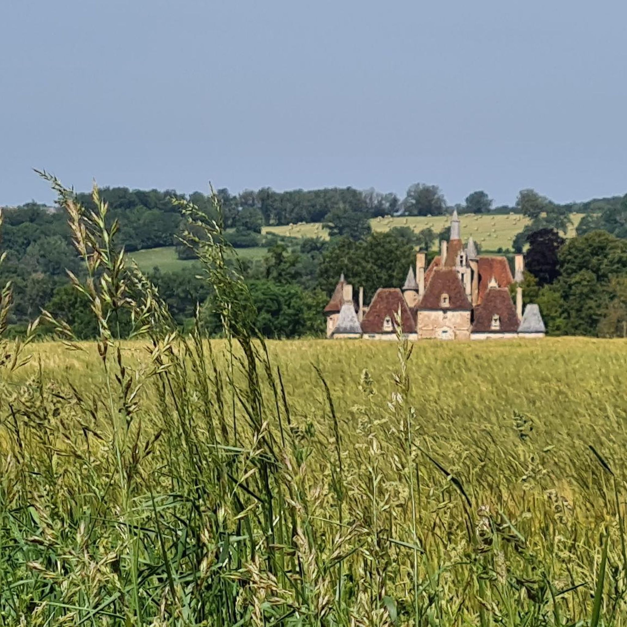
Hike the moderate 5.7-mile Lys-Saint-Georges loop through fields, forests, and past a medieval castle in the scenic Berrichonne countryside.
4.5
(4)
10
hikers
6.95km
01:49
50m
50m
Hike the easy 4.3-mile Les Maitres Sonneurs: Champillet Loop through hedgerows, forests, and pastures, gaining 170 feet in 1h 49m.
5.0
(2)
6
hikers
18.3km
04:59
260m
260m
Moderate hike. Good fitness required. Easily-accessible paths. Suitable for all skill levels.
3.0
(1)
3
hikers
15.7km
04:09
140m
140m
Hike the moderate 9.8-mile Sarzay loop through picturesque French countryside, featuring views of the historic Château de Sarzay.
4.6
(13)
64
hikers
28.5km
07:58
560m
560m
Hard hike. Very good fitness required. Easily-accessible paths. Suitable for all skill levels.
4.9
(8)
79
hikers
16.3km
04:31
300m
300m
Moderate hike. Good fitness required. Easily-accessible paths. Suitable for all skill levels.
Get access to more routes and recommendations from other explorers.
Sign up for free
Already have an account?
Our route recommendations are based on thousands of hikes, rides, and runs completed by other people on komoot.
Start today with a free account
Your next adventure awaits.
Login or Signup



Other adventures around La Châtre

Tips from the Community

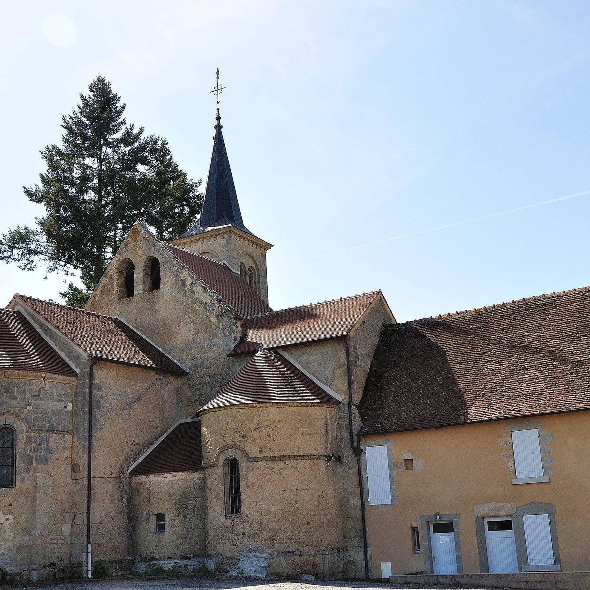
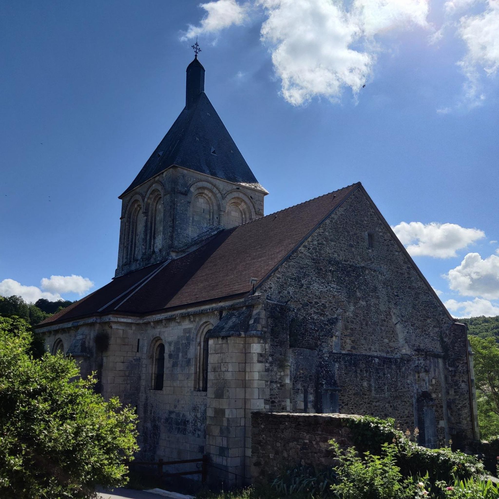
A small village church with character. It overlooks the Etang de la commune Champillet, where there's also plenty of space and picnic tables for a break.
3
0
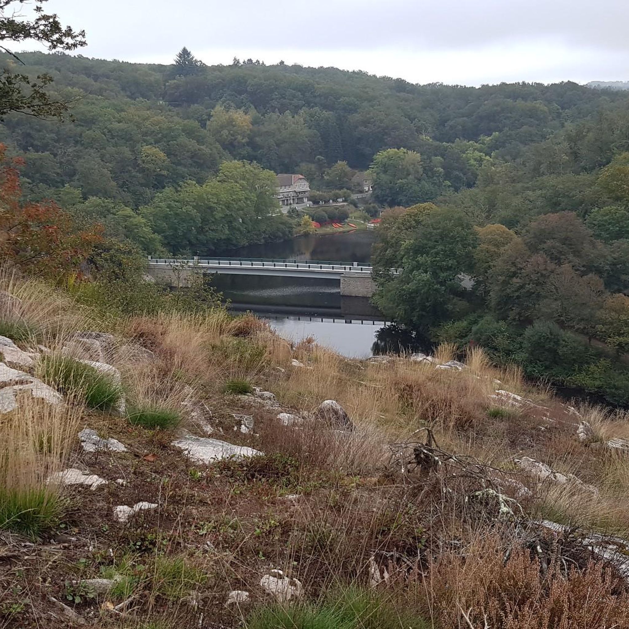
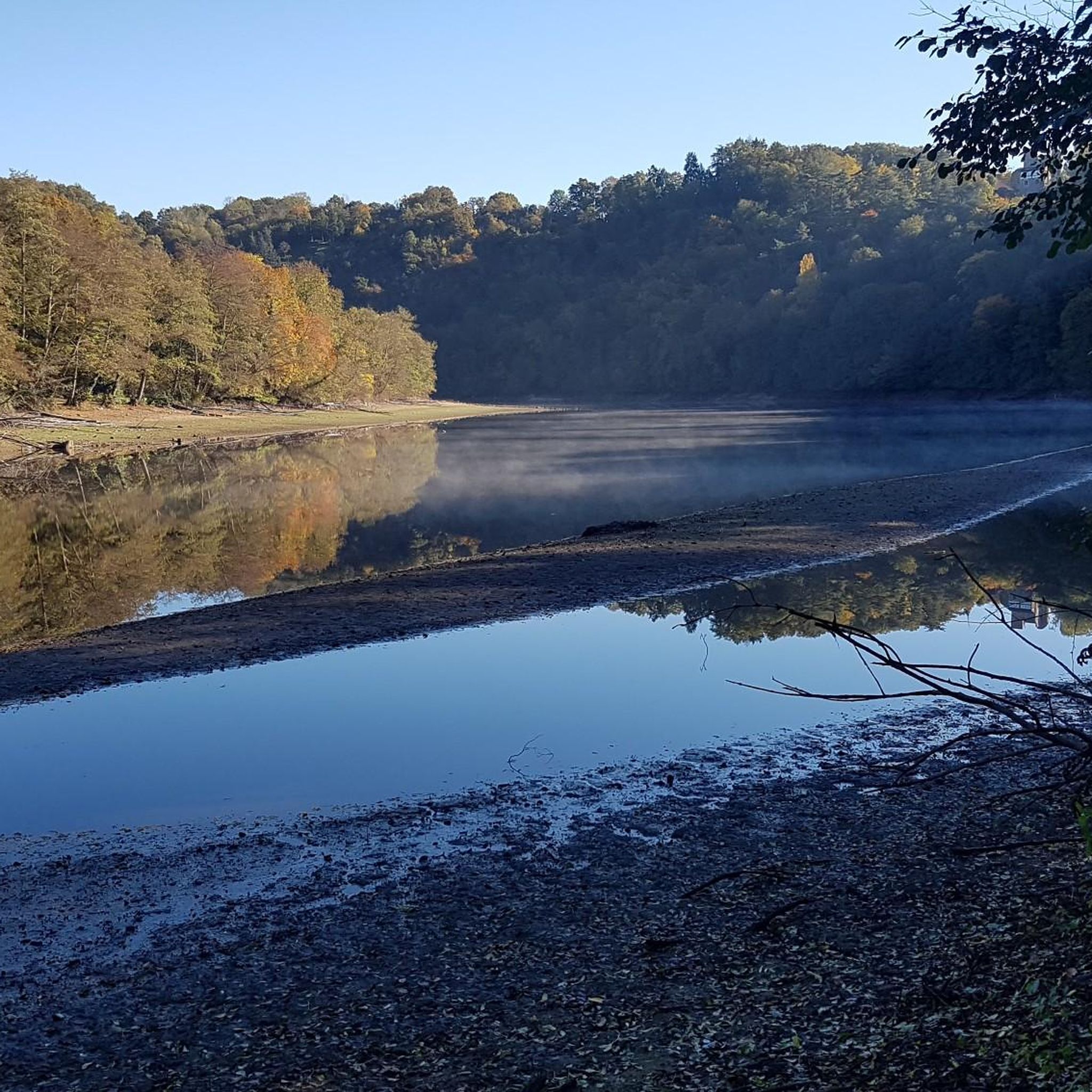
The Éguzon Dam (Barrage d’Éguzon, also known as the Chambon Dam) is one of the most impressive sites in the Creuse Valley. This impressive dam, built in 1926, was once the largest in Europe. From the viewpoints, you can look out over Lac de Chambon and the deep Creuse Valley—nature and technology combined. A perfect photo stop during your walk!
3
0
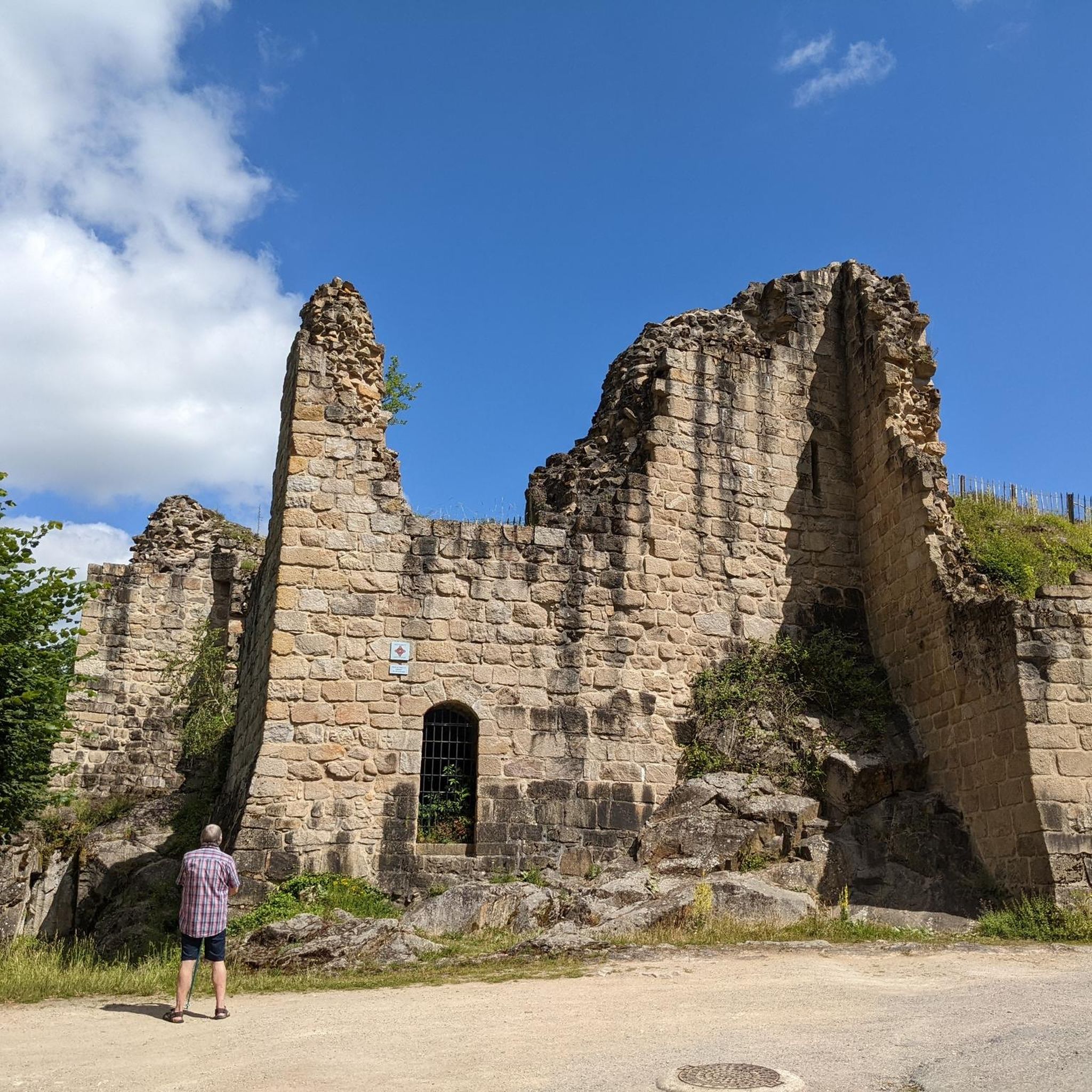
A medieval fortress perched above the meanders of the Creuse River, overlooking Lake Éguzon. A perfect spot to relax, take photos, and enjoy nature and history together.
3
0
Viewpoint at the Barrage d’Éguzon: impressive views of the dam and lake over the Creuse River. The rushing water and the reflection in the lake create a sense of tranquility and power. A perfect spot to pause and enjoy the combination of nature and technology.
3
0
In a word: beautiful. A breathtaking setting with stunning hiking trails, the ruins, the river, the rocks, and enchanting trails. One of the most beautiful hikes I've ever taken.
2
0
In the Creuse valley lies the picturesque village of Gargilesse-Dampierre. The village is listed as one of the most beautiful villages in France. And I can see why: the romantic charm of the closely packed houses with their steep, brown-tiled roofs, which surround the castle. Truly artistic, picturesque, and charismatic. It's wonderful to take a walk in this area and have a drink at one of the restaurants. Especially the restaurant at the top, where you have a magnificent view of the village and the castle.
3
0
It's impressive to walk under and along this viaduct. You suddenly feel very small.
4
0

Frequently Asked Questions
How many hiking trails are available around La Châtre?
There are over 180 hiking routes around La Châtre, catering to various preferences and fitness levels. You'll find a wide selection, from easy strolls to more challenging excursions, ensuring there's something for everyone.
Are there easy hiking trails suitable for beginners or families?
Yes, La Châtre offers many easy trails perfect for beginners or families. For example, the Les Maitres Sonneurs: Champillet Loop is an easy 6.9 km route through hedgerows and pastures. Another great option is the Cluis viaduc loop, which is just under 7 km and offers gentle terrain.
Can I find circular hiking routes in the La Châtre area?
Absolutely! Many of the trails around La Châtre are circular, allowing you to start and end at the same point. Examples include the Gargilesse loop, the Lys-Saint-Georges Circuit, and the Sainte-Sévère-sur-Indre loop, all offering diverse scenery.
What kind of landscapes can I expect to see while hiking near La Châtre?
The region around La Châtre, often called the "Pays de George Sand," features a diverse and preserved natural environment. You'll encounter gentle, undulating countryside, picturesque bocage (wooded pastureland), forests, open fields, and paths bordered by chestnut trees. The River Indre also winds through the region, offering pleasant riverside walks.
Are there any historical sites or castles I can visit on a hike?
Yes, the area is rich in history! Many trails lead to charming villages and impressive historical structures. You can hike to the magnificent Château de Sarzay, a 14th-century fortress, or explore the romantic village of Gargilesse-Dampierre, recognized as one of France's most beautiful villages. The On the Trail of the Lord of Barbançois route offers views of the Château de Sarzay.
Are dogs allowed on the hiking trails around La Châtre?
Generally, dogs are welcome on many hiking trails in the La Châtre region, especially on public footpaths through natural areas. However, it's always recommended to keep them on a leash, particularly when passing through agricultural land or near livestock, and to check specific trail regulations if entering nature reserves. Please be mindful of local signage.
What are some scenic viewpoints or natural attractions to look out for?
The region boasts several scenic spots. The Rocher de la Fileuse viewpoint offers stunning views over the promontory village of Crozant and the "Valley of Painters." You can also enjoy impressive panoramas of the Creuse River and the Barrage d'Éguzon from various points around Lake Eguzon, such as on the Château de Bonnu – Eguzon Dam viewpoint loop from Lac de Chambon.
Is public transport available to reach trailheads, or is parking generally accessible?
While public transport options to specific trailheads outside of La Châtre's main town might be limited, parking is generally accessible at popular starting points for hikes. Many villages and attractions that serve as trailheads offer designated parking areas. It's advisable to check the route details on komoot for specific parking information for your chosen hike.
What is the best time of year to go hiking in La Châtre?
The best time to go hiking in La Châtre is typically from spring to autumn (April to October). During these months, the weather is generally pleasant, with mild temperatures and lush landscapes. Spring brings blooming wildflowers, while autumn offers beautiful fall foliage. Summer is also popular, but it can be warmer, so early morning or late afternoon hikes are recommended.
What do other hikers say about the trails in La Châtre?
The hiking trails around La Châtre are highly rated by the komoot community, with an average score of 4.5 stars from hundreds of reviews. Hikers often praise the region for its peaceful countryside, well-maintained paths, and the charming blend of natural beauty and historical sites. Many appreciate the variety of routes available, from gentle riverside walks to more challenging loops around the lakes.
Are there any longer, more challenging hikes for experienced trekkers?
Yes, for those seeking a greater challenge, the La Châtre area offers several longer and more demanding routes. The Tour of Lake Eguzon Trail is a difficult 28.9 km hike with significant elevation changes, offering stunning lake views. Another challenging option is the Château de Bonnu – Eguzon Dam viewpoint loop from Lac de Chambon, which covers nearly 28 km.
Can I hike along the River Indre or near any lakes?
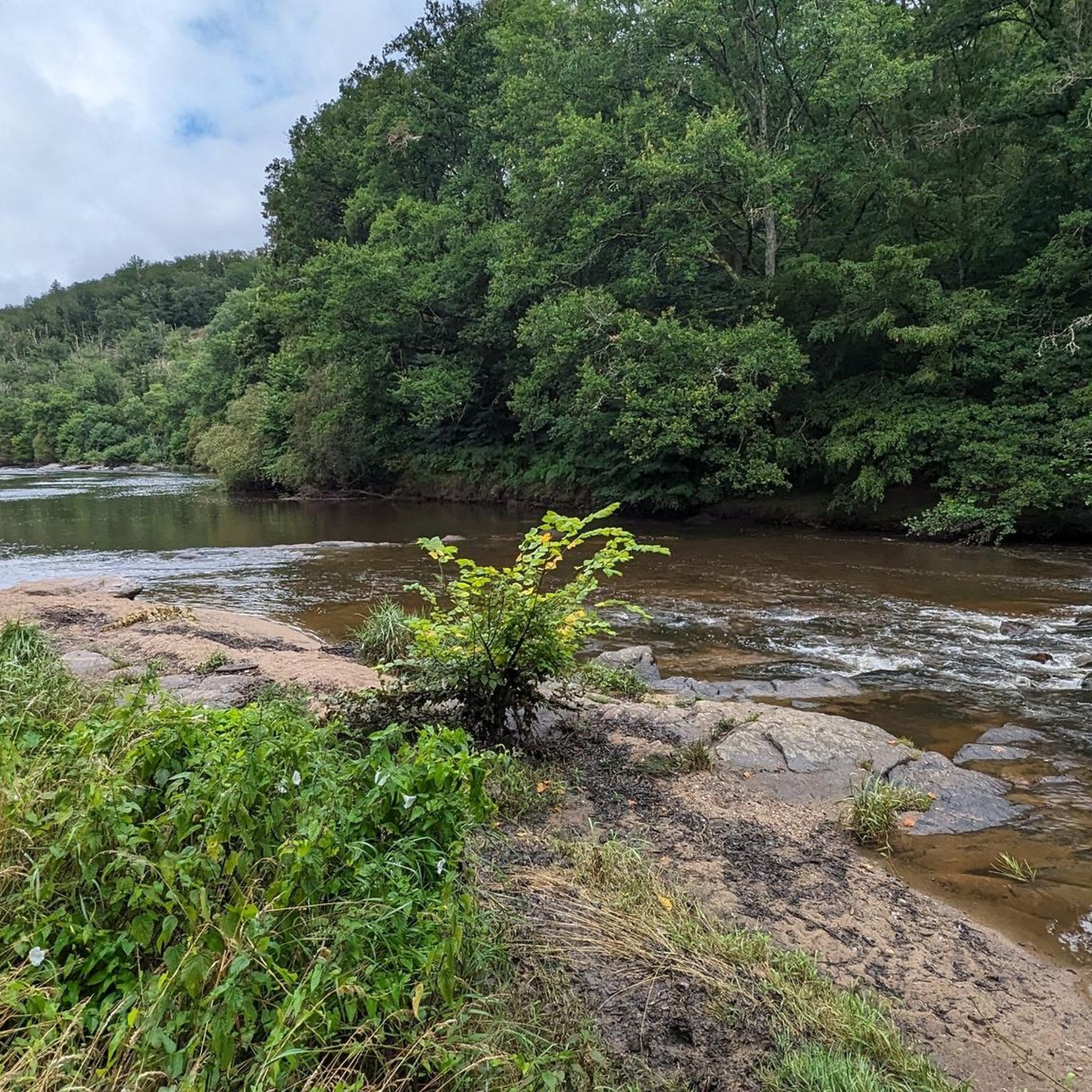
Absolutely! The River Indre meanders through the region, providing numerous opportunities for pleasant walks along its banks. Additionally, the area features notable bodies of water like Lake Eguzon and Lac du Chambon. You can explore the shores of these lakes on routes such as the Tour of Lake Eguzon Trail, which offers impressive views.
Are there any trails that explore the literary heritage of George Sand?
Yes, the region is deeply connected to the author George Sand, and many trails highlight this literary heritage. While specific named routes might vary, you can explore landscapes that inspired her novels, such as the picturesque countryside around Sarzay. The On the Trail of the Lord of Barbançois loop, for instance, takes you through areas rich in history and literary context.
Most popular routes around La Châtre
Most popular attractions around La Châtre

Get inspired with the komoot mobile app


Didn’t find what you were looking for?
Check out more Hikes throughout La Châtre below and find the perfect route in your destination.
Explore more
Browse the best Hikes in other regions.
