The best walks and hikes around Vervins
4.4
(998)
4,600
hikers
224
hikes
Hiking around Vervins offers diverse terrain, characterized by gentle hills, extensive forests, and notable water features. The region, located in the Aisne department of France, presents a landscape suitable for various hiking levels. Undulating green landscapes and hedgerows define the Thiérache region, providing a picturesque backdrop for exploration. Water features like the Étang de Blangy and the Cascade de Blangy are often integrated into local hiking trails.
Best hiking trails around Vervins
- The most popular hiking route is The fortified…
Last updated: May 12, 2026
4.0
(1)
13
hikers
9.55km
02:34
110m
110m
Moderate hike. Good fitness required. Mostly accessible paths. Sure-footedness required.
4.1
(25)
106
hikers
10.6km
02:52
130m
130m
Moderate hike. Good fitness required. Easily-accessible paths. Suitable for all skill levels.

Sign up for free
4.6
(7)
64
hikers
2.82km
00:44
20m
20m
Easy hike. Great for any fitness level. Easily-accessible paths. Suitable for all skill levels.
5.0
(5)
26
hikers
21.7km
05:46
220m
220m
Hard hike. Very good fitness required. Mostly accessible paths. Sure-footedness required.
5.0
(5)
24
hikers
17.3km
04:39
190m
190m
Moderate hike. Good fitness required. Mostly accessible paths. Sure-footedness required.
4.9
(8)
23
hikers
Easy hike. Great for any fitness level. Easily-accessible paths. Suitable for all skill levels.
4.7
(7)
20
hikers
13.9km
03:40
140m
140m
Moderate hike. Good fitness required. Easily-accessible paths. Suitable for all skill levels.
4.8
(6)
16
hikers
8.60km
02:13
50m
50m
Moderate hike. Good fitness required. Easily-accessible paths. Suitable for all skill levels.
4.5
(4)
20
hikers
5.95km
01:37
80m
80m
Easy hike. Great for any fitness level. Easily-accessible paths. Suitable for all skill levels.
4.5
(6)
20
hikers
9.14km
02:24
70m
70m
Moderate hike. Good fitness required. Easily-accessible paths. Suitable for all skill levels.
Get access to more routes and recommendations from other explorers.
Sign up for free
Already have an account?
Our route recommendations are based on thousands of hikes, rides, and runs completed by other people on komoot.
Start today with a free account
Your next adventure awaits.
Login or Signup







Tips from the Community

FYI: The Komoot hiking trail incorrectly indicates you can cross the river here. Just to clarify, the crossing is broken.
0
0

The faithful trust in the help of the Mother of God – who in France is always venerated under the title “Notre-Dame” (which corresponds to the German name “Our Lady”) – was expressed by the French nun, mystic and Doctor of the Church, Saint Thérèse of Lisieux (religious name Thérèse of the Child Jesus and the Holy Face, 1873 to 1897) as follows: “In trials or difficulties I turn to Mother Mary, whose gaze alone is enough to dispel all fear.”
0
0

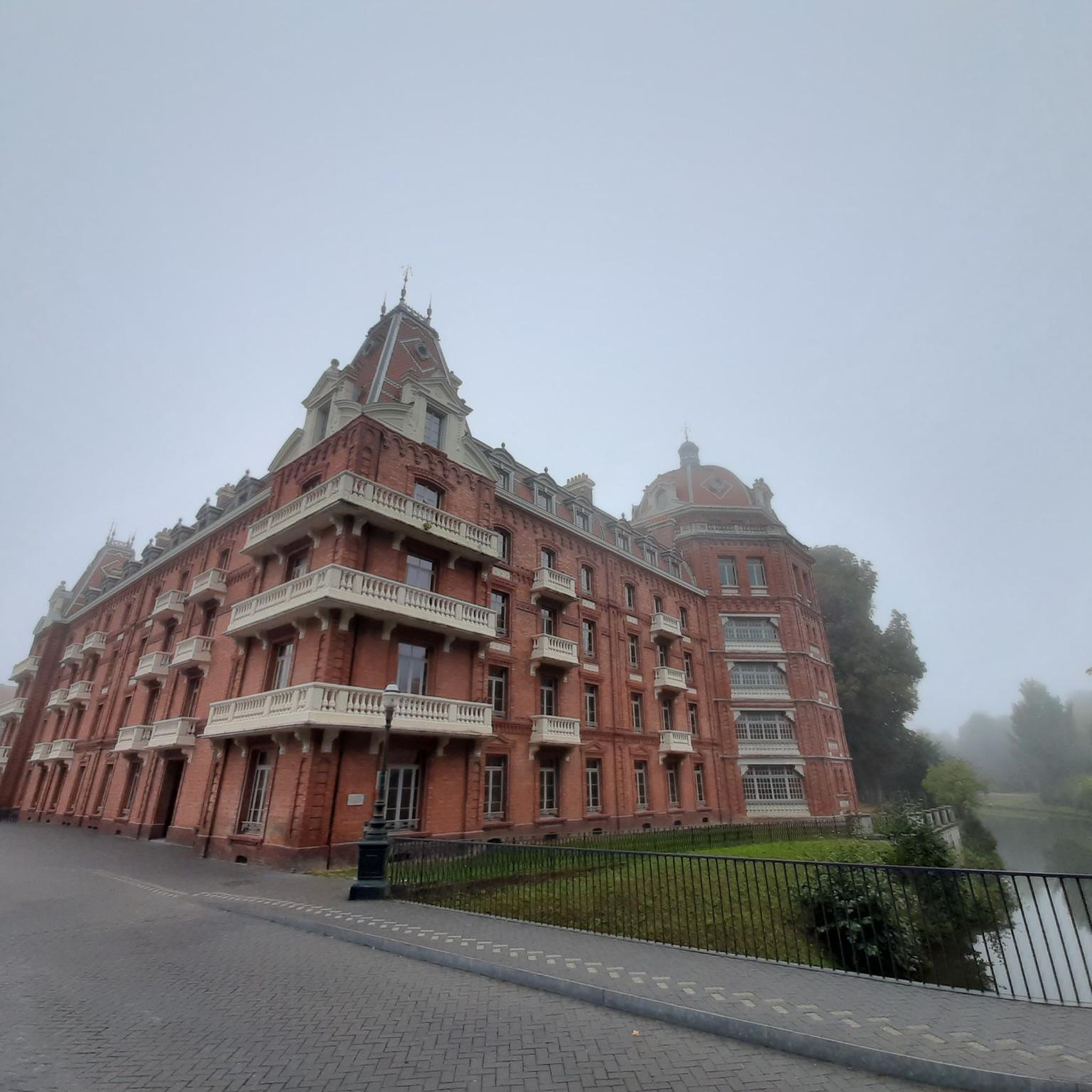
Superb site currently being renovated. (It deserves it)
0
0

These magnificent blue flowers that carpet our forests in April are bluebells
0
0

A few hundred meters away is the old chapel of the hara
0
0

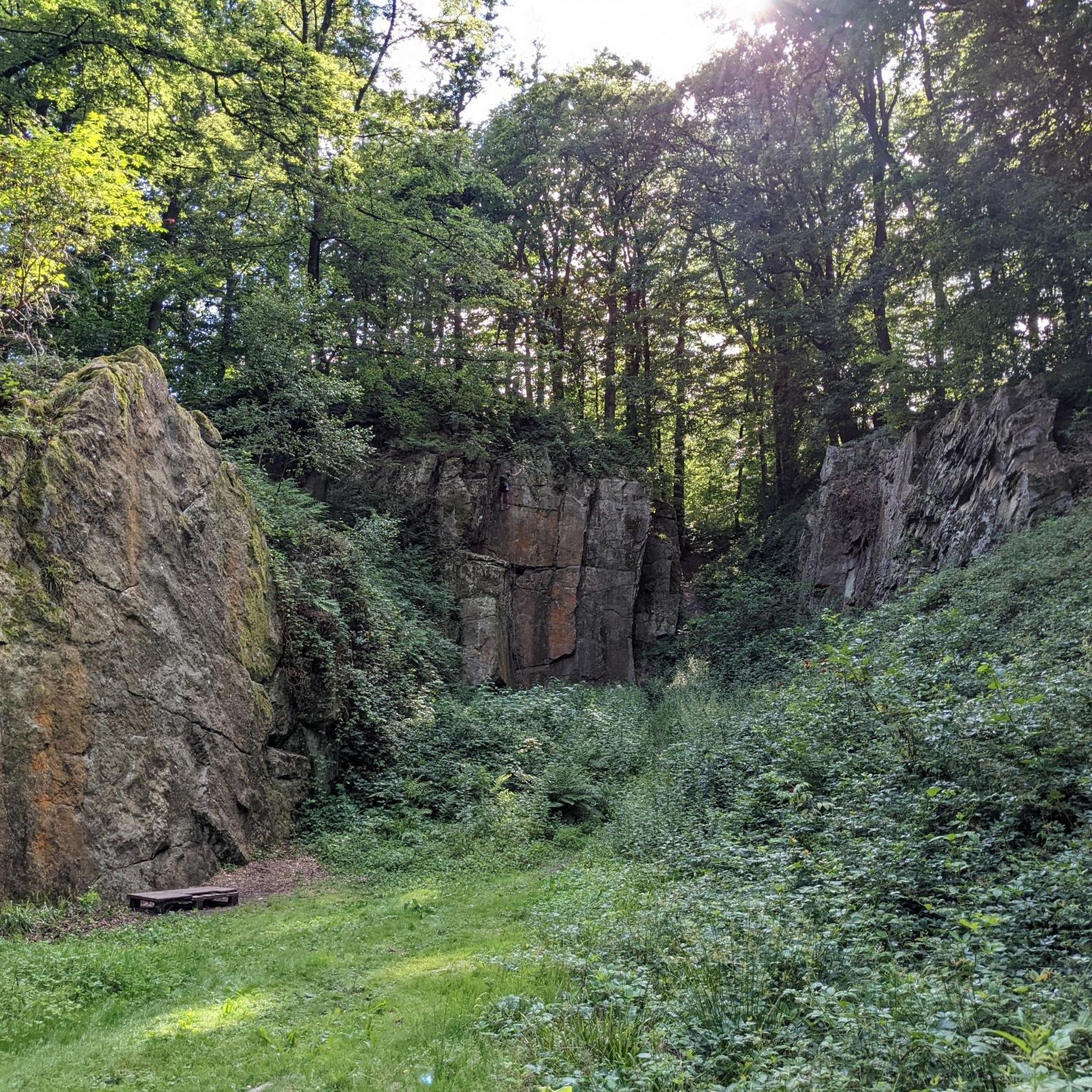
The Rocher du Pas-Bayard is a well-known climbing site located near Anor, in the Hauts-de-France region of France. It is a popular spot for both experienced climbers and beginners, with several routes ranging from 4b to 7a1. The rock is made of granite and offers a mix of vertical, dièdre and dalle climbing.
1
0
The Cascade de Blangy is a beautiful waterfall located in the Forêt Communale de Hirson in Aisne, France. It is a popular place for hiking and nature lovers, especially in spring when the waterfall is at its most beautiful.
2
0
The church dates back to the 16th century and is an example of a fortified church built to protect the population during wars and conflicts. The building has an impressive facade flanked by towers and is an important historical heritage in the region.
1
0
Frequently Asked Questions
How many hiking trails are available around Vervins?
Vervins offers a wide variety of hiking opportunities, with over 220 routes recorded on komoot. These include 102 easy trails, 120 moderate paths, and 6 more challenging routes, ensuring options for all skill levels.
Are there any easy hiking trails suitable for beginners or families?
Yes, Vervins has over 100 easy hiking trails. A great option for a relaxed walk is the Blangy Viaduct – Étang de Blangy loop from Cascade de Blangy, which is just under 3 km and features gentle terrain. Another easy route is the Magnificent brook loop from Saint-Michel, offering a pleasant 5.9 km walk.
Can I find hiking routes that feature waterfalls or other water elements?
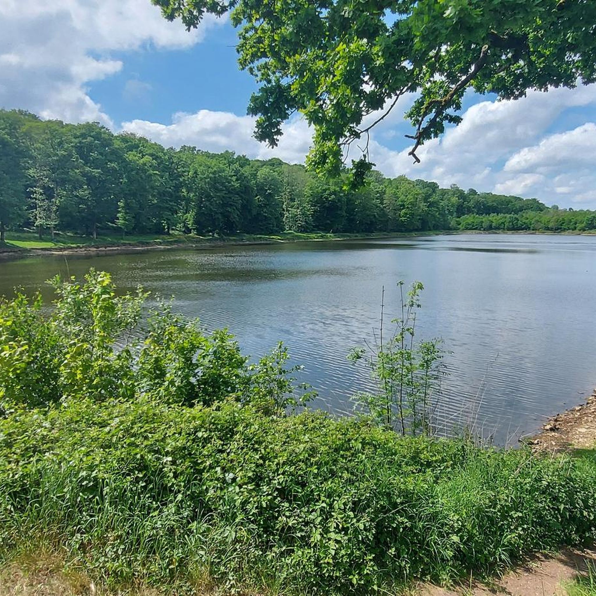
Absolutely. The region around Vervins is known for its water features. You can explore trails like the Étang de Blangy – Cascade de Blangy loop from Hirson, which is a moderate 10.6 km path that takes you past both a pond and a waterfall. Another popular choice is the Cascade de Blangy – Étang de Blangy loop from Cascade de Blangy, an easy 7.5 km trail also showcasing these natural attractions.
Are there any circular hiking routes in Vervins?
Many of the trails around Vervins are designed as loops, offering convenient circular walks. For example, the The fortified church of Bancigny and Plomion — loop from Bancigny is a moderate 9.6 km route that takes you past historical sites. Another option is the Cascade de Blangy – View of Blangy loop from Hirson, an easy 5.3 km loop with scenic views.
What kind of historical landmarks can I see while hiking in Vervins?
The Vervins area is rich in history, particularly known for its fortified churches. The The fortified church of Bancigny and Plomion — loop from Bancigny trail specifically highlights these unique structures. You can also visit the Fortified Church of Saint-Martin of Wimy, a notable example of the region's architectural heritage. Additionally, the Familistère of Guise is a significant historical site nearby.
Are there any long-distance or more challenging hikes available?
While Vervins is known for its gentle hills, there are longer and more challenging options. The Famillistère – Chapelle de la Salette loop from Guise is a difficult 21.2 km route, offering a substantial trek. Another moderate, longer option is the Chapelle de la Salette loop from Noyales, covering 16.8 km.
What do other hikers say about the trails in Vervins?
The hiking trails in Vervins are highly regarded by the komoot community, with an average rating of 4.3 stars from over 260 reviews. Hikers often praise the diverse terrain, which includes extensive forests, gentle hills, and interesting water features, as well as the historical elements like the fortified churches that add cultural enrichment to their outdoor excursions.
What is the best time of year to go hiking in Vervins?
The region's diverse terrain, including forests and green spaces, makes it enjoyable throughout much of the year. Spring and autumn offer pleasant temperatures and beautiful scenery with changing foliage. Summer is also suitable, especially for walks through shaded forest areas. Even in winter, some trails, particularly those on former railway lines, can be accessible for a different kind of experience.
Are there any trails that follow old railway lines?
Yes, an old railroad line near Vervins has been converted into a path, which is excellent for walking. These paths are typically flat and accessible, leading through picturesque villages and past old train stations. You can find sections of this converted line, such as the Old railroad, offering a unique hiking experience.
Are there any specific points of interest or attractions near the hiking routes?
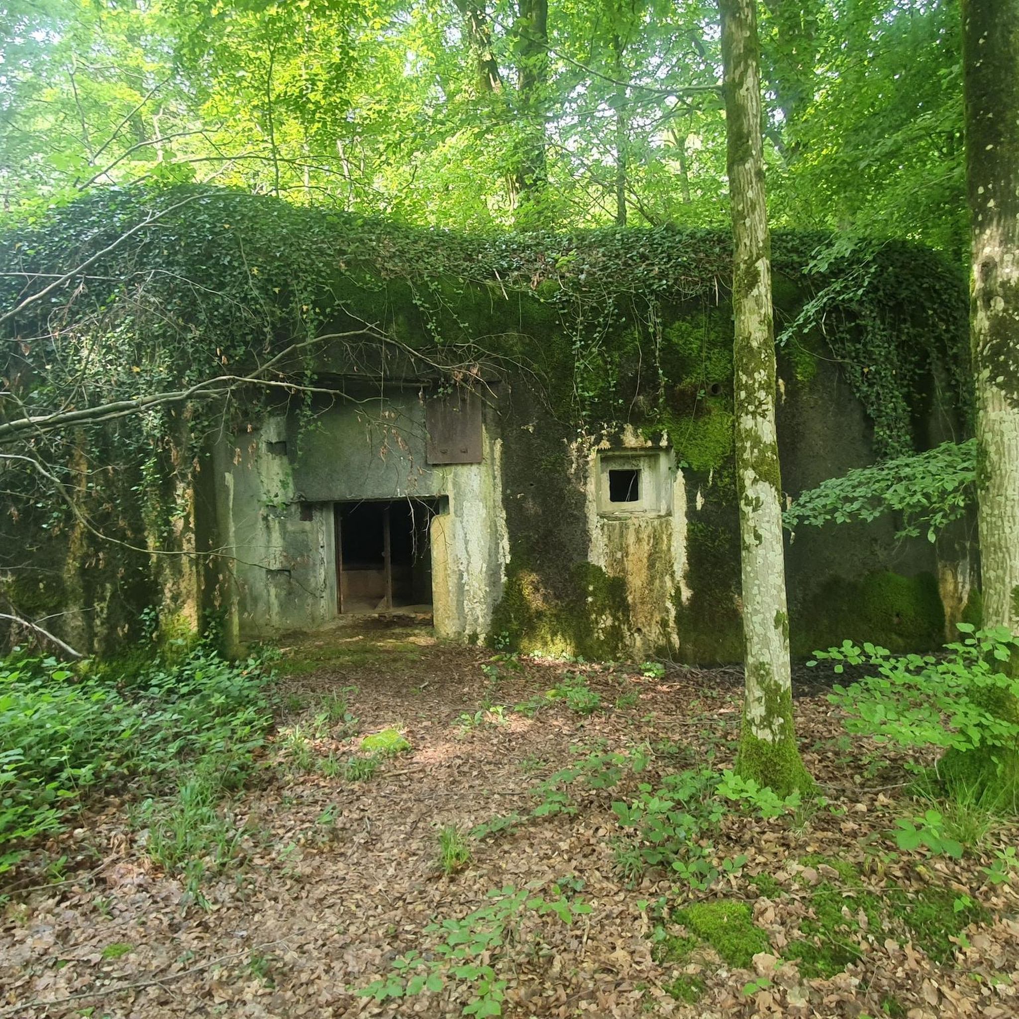
Beyond the fortified churches, the area offers several points of interest. You can explore the Bloc de la Limite No. 551 (Maginot Line) for a glimpse into military history. For those interested in industrial heritage, the Locomobile Salmson No. 3003 is another unique attraction. Many trails also pass through charming villages like Parfondeval, offering a taste of rural French life.
Is there parking available at the trailheads in Vervins?
While specific parking details vary by trailhead, many popular hiking areas and villages in the Vervins region offer designated parking facilities. It's advisable to check the starting point of your chosen route on komoot for more precise information on parking availability.
Are there any trails suitable for families with children?
Many of the easy and moderate trails in Vervins are suitable for families. Routes that feature water elements like the Étang de Blangy or follow converted railway lines tend to be flatter and more engaging for children. The Neuve Forge Stud Farm – Climbing wall for exercisers loop from Étang de Neuve Forge is an easy 6.8 km trail that could be interesting for families.
Most popular routes around Vervins
Most popular attractions around Vervins

Get inspired with the komoot mobile app


Didn’t find what you were looking for?
Check out more Hikes throughout Vervins below and find the perfect route in your destination.
Explore more
Browse the best Hikes in other regions.
