The best cycling routes around Hagenau-Weißenburg
4.5
(5012)
29,910
riders
1,688
rides
Touring cycling around Hagenau-Weißenburg offers diverse landscapes, from the extensive Haguenau Exception Forest to the flat river plains of the Rhine and Moder. The region features well-maintained paths along waterways and through agricultural areas, including hop fields and apple orchards. Its proximity to the German border also provides opportunities for cross-border routes, connecting to areas like the Bienwald Forest. This varied terrain makes it suitable for a range of touring cycling experiences.
Best touring cycling routes around Hagenau-Weißenburg
- The most…
Last updated: July 4, 2026
4.6
(87)
358
riders
37.3km
02:14
110m
110m
Moderate bike ride. Good fitness required. Mostly paved surfaces. Suitable for all skill levels.
4.0
(7)
25
riders
79.5km
04:40
330m
330m
Moderate bike ride. Good fitness required. Mostly paved surfaces. Suitable for all skill levels.

Sign up for free
4.4
(12)
46
riders
14.3km
00:55
160m
160m
Moderate bike ride. Good fitness required. Mostly paved surfaces. Suitable for all skill levels.
3.5
(2)
3
riders
99.2km
06:29
1,000m
1,000m
Hard bike ride. Very good fitness required. Mostly paved surfaces. Suitable for all skill levels.
3
riders
53.9km
03:03
190m
280m
Moderate bike ride. Good fitness required. Mostly paved surfaces. Suitable for all skill levels.
4.5
(193)
672
riders
41.7km
02:26
110m
110m
Moderate bike ride. Good fitness required. Mostly paved surfaces. Suitable for all skill levels.
4.7
(77)
283
riders
69.7km
04:03
170m
170m
Moderate bike ride. Good fitness required. Mostly paved surfaces. Suitable for all skill levels.
4.4
(56)
460
riders
38.7km
02:15
50m
50m
Moderate bike ride. Good fitness required. Mostly paved surfaces. Suitable for all skill levels.
4.7
(62)
448
riders
32.7km
01:50
60m
60m
Easy bike ride. Great for any fitness level. Mostly paved surfaces. Suitable for all skill levels.
4.6
(64)
309
riders
Moderate bike ride. Good fitness required. Mostly paved surfaces. Suitable for all skill levels.
Get access to more routes and recommendations from other explorers.
Sign up for free
Already have an account?
Our route recommendations are based on thousands of hikes, rides, and runs completed by other people on komoot.
Start today with a free account
Your next adventure awaits.
Login or Signup
Popular around Hagenau-Weißenburg
Other adventures around Hagenau-Weißenburg


Tips from the Community

The observatory is well located, it allowed us to observe, for example, geese, herons, and carp. Provided we stay quiet, of course. The flora is also very beautiful around the pond
0
0

The Westwall was a military defense system over 600 km long during World War II. It consisted of several thousand bunkers, tunnels, trenches, minefields, and anti-tank obstacles and stretched along the western border of the then German Reich from Holland to Basel. The Westwall was built between 1936 and 1940 in three defensive lines, likely for propaganda reasons. Its French counterpart, the Maginot Line, was built between 1930 and 1936. In the Palatinate, a 10 km long anti-tank barrier ran from the Palatinate Forest near Oberotterbach through the Weißenburg Saddle to the Bienwald near Steinfeld. The second defensive line led from Göcklingen via Mörzheim, Impflingen, Insheim, in the direction of Herxheim. The anti-tank barrier was built in the form of dragon's teeth lines. Dragon's teeth made of reinforced concrete, placed in several rows and connected by a foundation, were intended to prevent enemy tanks from entering. Today, most of the Westwall has been dismantled, bunkers have been blown up. Relics of the dragon's teeth lines in the Palatinate can still be found near Steinfeld and Niederotterbach, as well as parts of the rear defensive line in Göcklingen and Mörzheim.
2
0

Great motif with the upstream iron bridge
3
0


The Rhine is one of the most important rivers in Europe and has a length of approximately 1,233 km. Its source lies in the Swiss Alps, where it originates from several mountain streams. From there, it first flows through Switzerland and then partly forms the border between Germany and France, before continuing through Germany and finally the Netherlands. Near Rotterdam, the Rhine divides into several distributaries and finally reaches the North Sea. Its catchment area is very large (approx. 185,000 km²) and includes many tributaries such as the Moselle, Main, or Neckar. The Rhine is of great importance to Europe: Shipping: One of the most important waterways in the world for trade and transport Economy: Connection of many industrial and port cities Nature: Habitat for numerous animal and plant species Energy: Utilization through hydropower in the Alpine regions Due to its location and use, the Rhine is considered one of the most important lifelines of Central Europe.
0
0

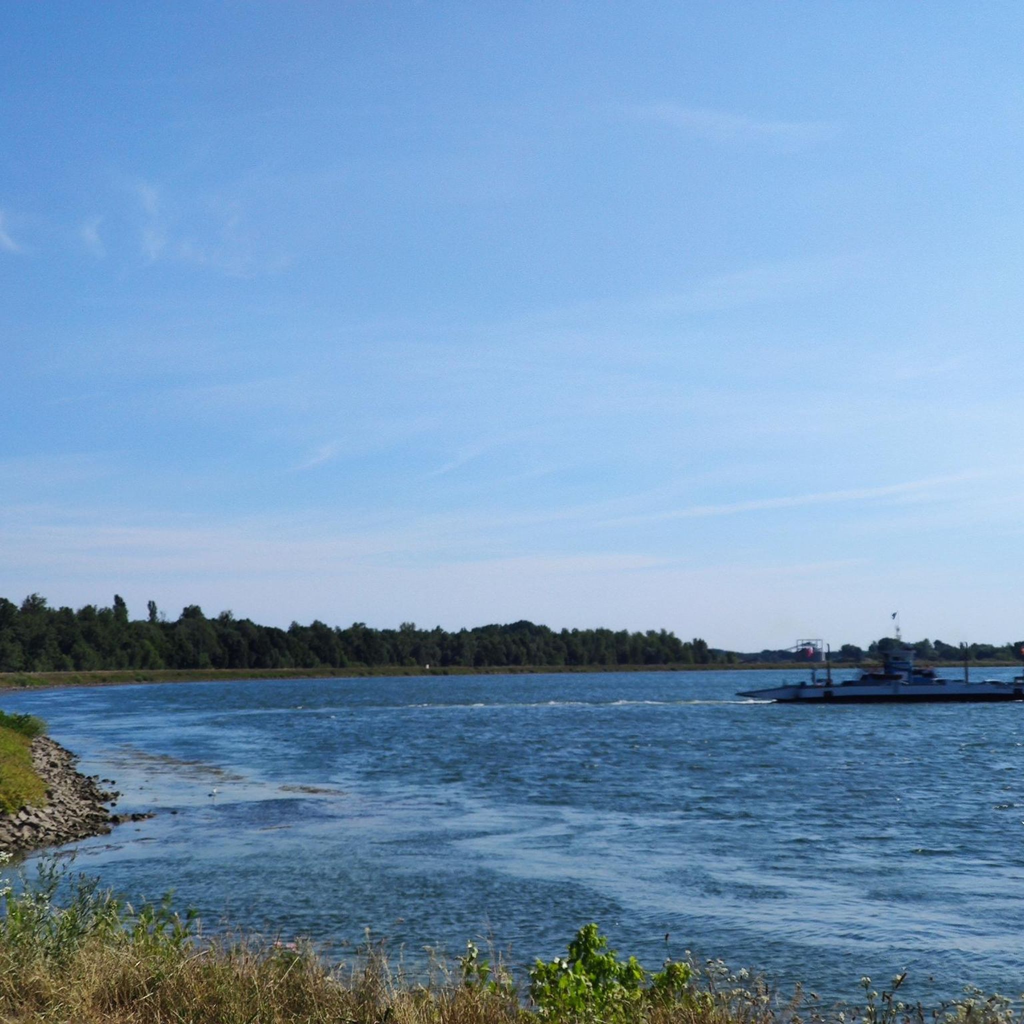
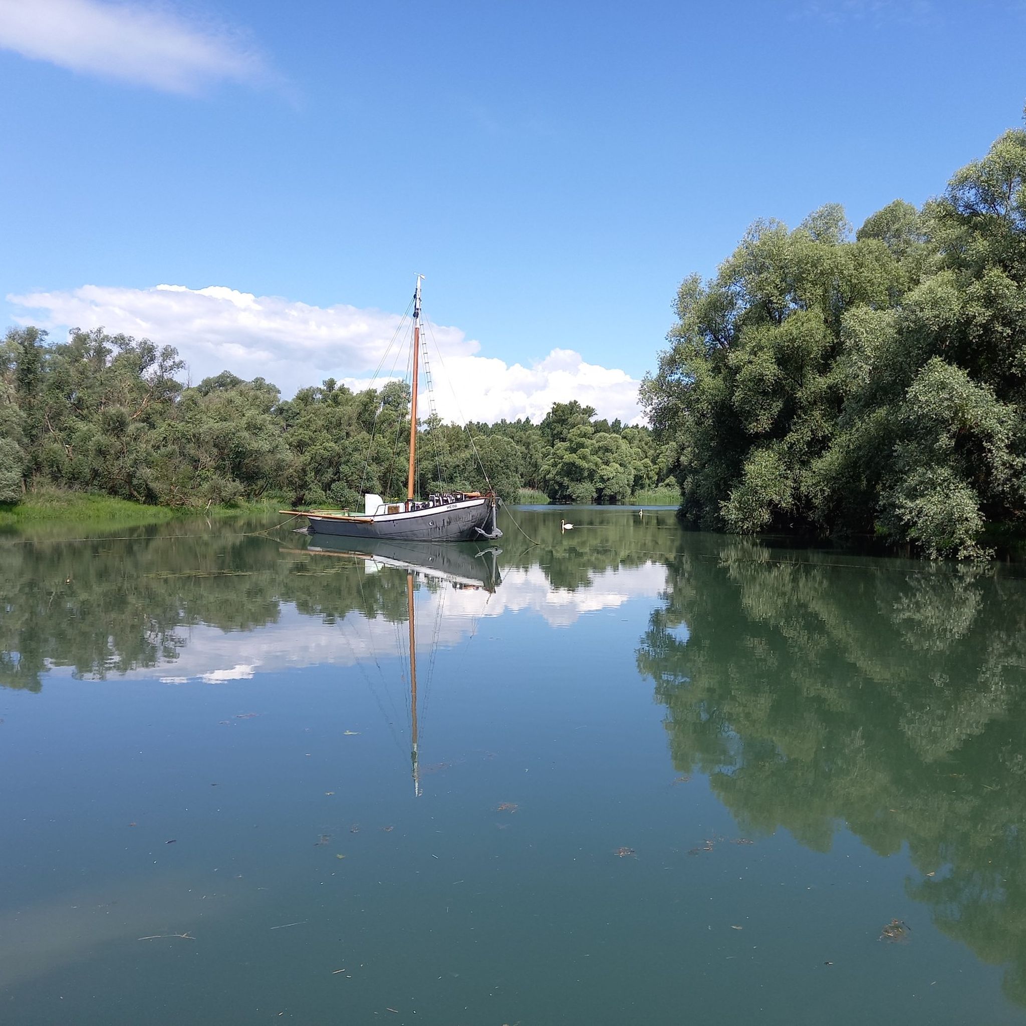
Magnificent view of the Rhine.
0
0
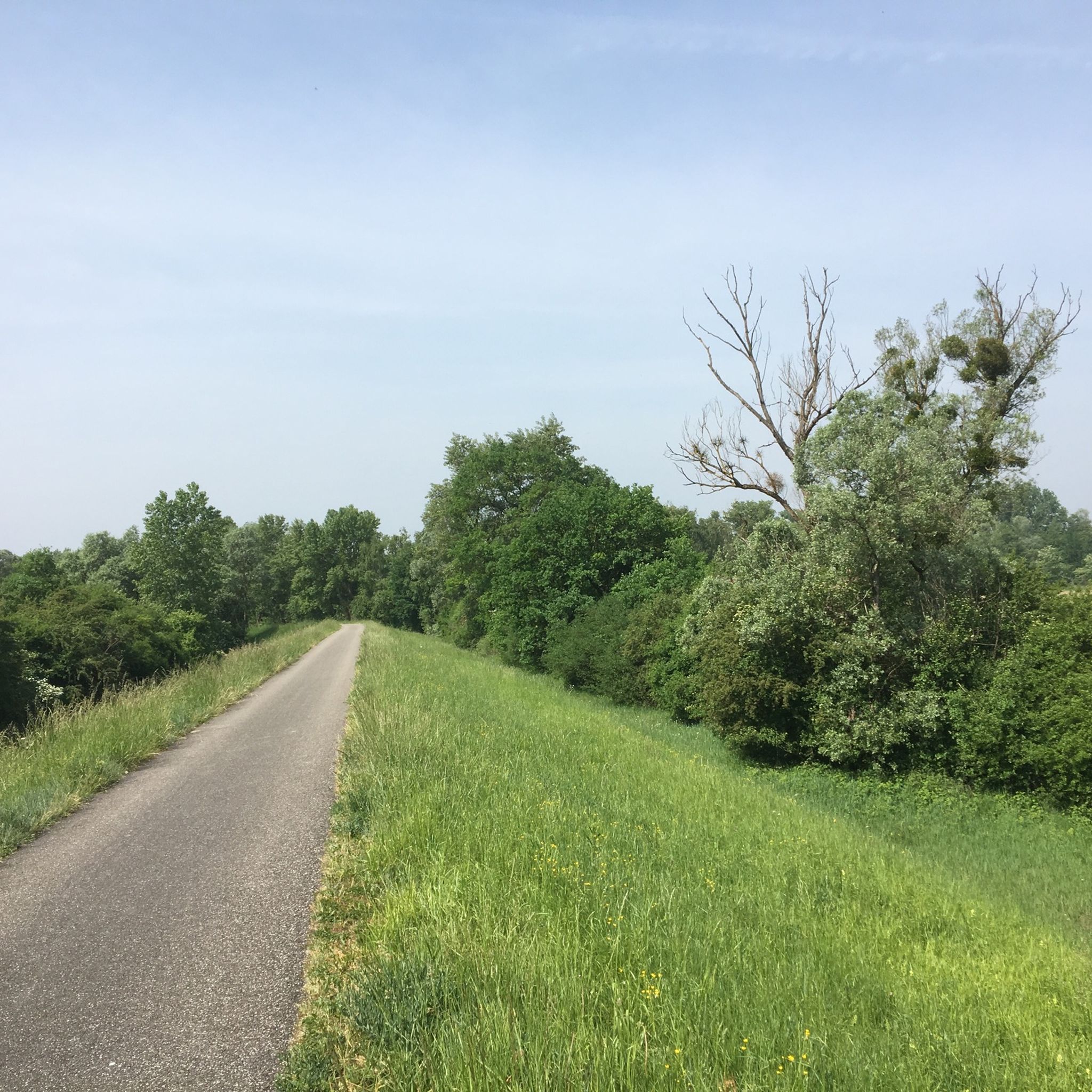
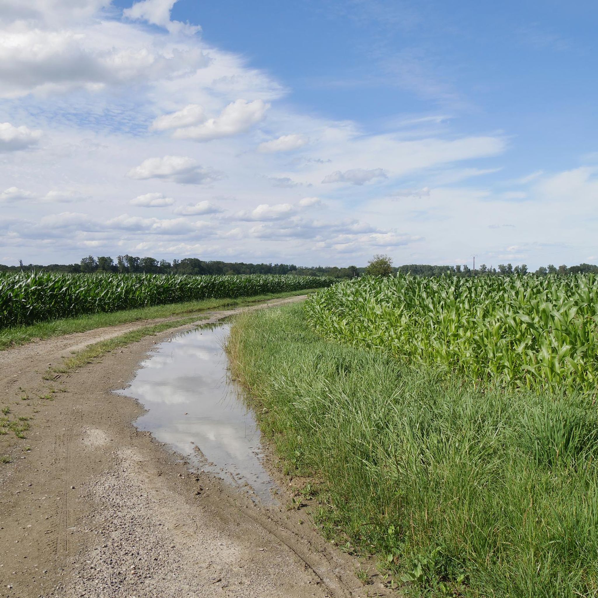
Beautiful path along the Rhine.
0
0
Anti-tank ditch relic of the "Westwall" in Steinfeld.
0
0
Frequently Asked Questions
How many touring cycling routes are available in Hagenau-Weißenburg?
Hagenau-Weißenburg offers a vast network of touring cycling routes, with over 1,600 routes available on komoot. This includes a diverse range of paths through forests, along rivers, and across agricultural landscapes.
What are the different difficulty levels for touring cycling routes in Hagenau-Weißenburg?
The region caters to all skill levels. You'll find over 640 easy routes, more than 650 moderate routes, and nearly 400 difficult routes, ensuring there's a suitable option whether you're a beginner or an experienced touring cyclist.
What kind of landscapes can I expect to see while touring cycling in Hagenau-Weißenburg?
Touring cyclists in Hagenau-Weißenburg can enjoy incredibly diverse scenery. You'll cycle through the vast Haguenau Exception Forest, one of France's largest lowland forests, offering a mix of oaks and pines. Routes also follow the flat plains of the Rhine and Moder rivers, and wind through picturesque agricultural areas with hop fields and apple orchards. The region's proximity to Germany also allows for cross-border routes into areas like the Bienwald Forest.
Are there family-friendly touring cycling routes in Hagenau-Weißenburg?
Yes, many routes are suitable for families, especially those within the Haguenau Exception Forest, known for its generally flat terrain. The paths along the Moder River and sections of the EuroVelo 15 are also well-maintained and offer peaceful rides. For an easy option, consider the Route Forestière du Krummstein – Gruendel Pond loop from Haguenau, which is an easy 33.8 km route.
Are there any circular touring cycling routes in the region?
Absolutely. Many touring cycling routes in Hagenau-Weißenburg are designed as loops, allowing you to start and end in the same location. Examples include the Loop of the Vosges du Nord, a 14.3 km trail, or the Bienwaldmühle – Lauter washhouse loop from Wissembourg, which is 35 km long.
What is the best time of year for touring cycling in Hagenau-Weißenburg?
The spring, summer, and early autumn months generally offer the most pleasant conditions for touring cycling in Hagenau-Weißenburg. During these seasons, the weather is typically mild, and the landscapes are vibrant, making for enjoyable rides through forests, along rivers, and past blooming fields.
Are there any interesting historical sites or cultural attractions along the touring cycling routes?
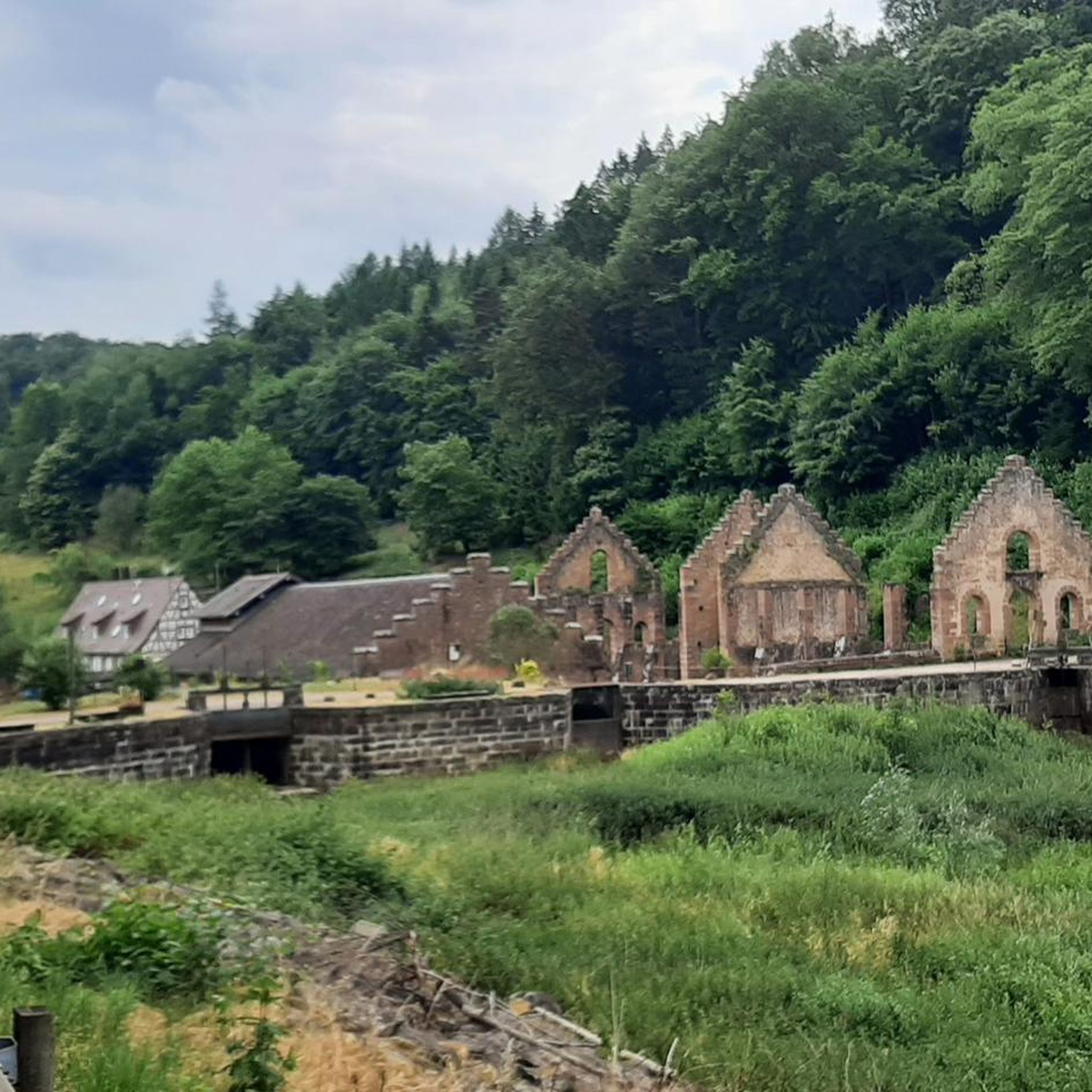
Yes, the region is rich in history and culture. Many routes pass through or near charming towns like Wissembourg, with its half-timbered houses and the impressive Abbey Church of Peter and Paul. You might also encounter traditional Alsatian potter villages like Betschdorf and Soufflenheim, or historical ruins such as those near the Jaegerthal forge. For specific historical points of interest, consider exploring highlights like Hohenbourg Castle or Château du Loewenstein.
Are there touring cycling routes that offer cross-border experiences?
Yes, the proximity of Hagenau-Weißenburg to the German border provides excellent opportunities for cross-border cycling. Routes can connect the Haguenau Forest with the Bienwald Forest in southern Palatinate, offering a unique international cycling experience. The Sauer Valley Cycle Route is one such example, spanning 53.8 km.
Is there good infrastructure for cyclists in Hagenau-Weißenburg?
The region is well-equipped for cyclists. The Tourist Office of Pays de Haguenau has earned the "Accueil Vélo" label, indicating quality services for cycling tourists. This includes amenities like bike rentals, self-repair stations, and secure parking. The paths are generally well-maintained, especially along the Rhine and Moder rivers, and within the Haguenau Exception Forest.
What do other touring cyclists say about the routes in Hagenau-Weißenburg?
The touring cycling routes in Hagenau-Weißenburg are highly regarded by the komoot community, with an average rating of 4.5 stars from over 4,100 reviews. Cyclists often praise the diverse landscapes, the well-maintained paths, and the peaceful atmosphere found throughout the region's forests and river plains.
Are there longer or more challenging touring cycling routes for experienced cyclists?
Yes, for those seeking a greater challenge, Hagenau-Weißenburg offers several difficult routes. An example is the Circuit to discover the Vosges du Nord, a demanding 99.2 km route with significant elevation changes. Another long option is the Old Rhine in the Rastatt Rhine Floodplain – Flood Protection Dike loop from Rountzenheim, which covers nearly 149 km.
Can I access sections of the EuroVelo 15 (Rhine Cycle Route) from Hagenau-Weißenburg?
Yes, the region provides access to sections of the EuroVelo 15, also known as the Rhine Cycle Route. This famous long-distance route is characterized by its flat terrain and excellent paths, offering scenic views of the Rhine meadows and connecting to various towns. You can find more information about the EuroVelo 15 in Alsace here.
Most popular routes around Hagenau-Weißenburg
Most popular attractions around Hagenau-Weißenburg

Get inspired with the komoot mobile app


Didn’t find what you were looking for?
Check out more Cycling routes throughout Hagenau-Weißenburg below and find the perfect route in your destination.
Explore more
Browse the best Cycling routes in other regions.
