The best road cycling routes around Molsheim
4.5
(660)
11,702
riders
342
rides
Road cycling routes around Molsheim offer a diverse landscape for cyclists, situated near the Vosges mountains and the Rhine plain. The region features varying elevations, from the challenging climbs of the Vosges foothills to the flat, scenic paths along the Canal de la Bruche. Cyclists can also explore routes winding through the renowned vineyards of the Alsace Wine Route, providing a mix of terrain and cultural experiences. This area provides a comprehensive road cycling experience with options for different skill levels.
Best road cycling routes around Molsheim
- The most popular road cycling route is Col de Grendelbruch — loop from Schirmeck, a 33.4 miles (53.8 km) trail that takes 2 hours 51 minutes to complete. This difficult route features significant elevation gain through the Vosges foothills.
- Another top favourite among local road cyclists is Canal de la Bruche – Bruche Canal loop from Molsheim, a moderate 31.4 miles (50.6 km) path. This route offers a mostly flat and scenic ride along the historic Canal de la Bruche.
- Local road cyclists also love the Rosheim to Saint-Nabor – Porte de Boersch loop from Bischoffsheim, a 31.9 miles (51.3 km) trail leading through varied terrain and villages, often completed in about 2 hours 32 minutes.
- Road cycling around Molsheim is defined by Vosges foothills, picturesque vineyards, and the flat paths of the Canal de la Bruche. The network offers options for different ability levels, from challenging climbs to leisurely rides.
- The routes in Molsheim are highly rated by the komoot community with an average score of 4.5 stars from over 500 reviews. More than 11,000 road cyclists have used komoot to explore Molsheim's varied terrain.
Last updated: August 30, 2026
4.7
(3)
38
riders
53.8km
02:52
1,010m
1,010m
This difficult 33.4-mile road cycling loop from Schirmeck offers panoramic views and dense forests, climbing 3298 feet to Champ du Feu.
20
riders
49.8km
02:36
910m
910m
Hard road ride. Very good fitness required. Mostly well-paved surfaces and easy to ride.

Sign up for free
4.4
(24)
635
riders
50.0km
02:30
760m
760m
Moderate road ride. Good fitness required. Mostly well-paved surfaces and easy to ride.
4.8
(30)
759
riders
38.9km
01:30
70m
70m
Easy road ride. Great for any fitness level. Mostly well-paved surfaces and easy to ride.
4.7
(18)
431
riders
81.2km
03:40
780m
780m
Moderate road ride. Good fitness required. Mostly well-paved surfaces and easy to ride.
4.8
(28)
326
riders
78.9km
03:56
1,080m
1,080m
Hard road ride. Very good fitness required. Mostly well-paved surfaces and easy to ride.
4.5
(28)
342
riders
52.2km
03:01
1,210m
1,210m
Hard road ride. Very good fitness required. Mostly well-paved surfaces and easy to ride.
4.6
(10)
245
riders
122km
06:02
1,820m
1,820m
Hard road ride. Very good fitness required. Mostly well-paved surfaces and easy to ride.
4.5
(20)
228
riders
60.4km
02:51
740m
740m
Moderate road ride. Good fitness required. Mostly well-paved surfaces and easy to ride.
4.8
(10)
195
riders
61.0km
03:06
1,020m
1,020m
Hard road ride. Very good fitness required. Mostly well-paved surfaces and easy to ride.
Get access to more routes and recommendations from other explorers.
Sign up for free
Already have an account?
Our route recommendations are based on thousands of hikes, rides, and runs completed by other people on komoot.
Start today with a free account
Your next adventure awaits.
Login or Signup
Popular around Molsheim
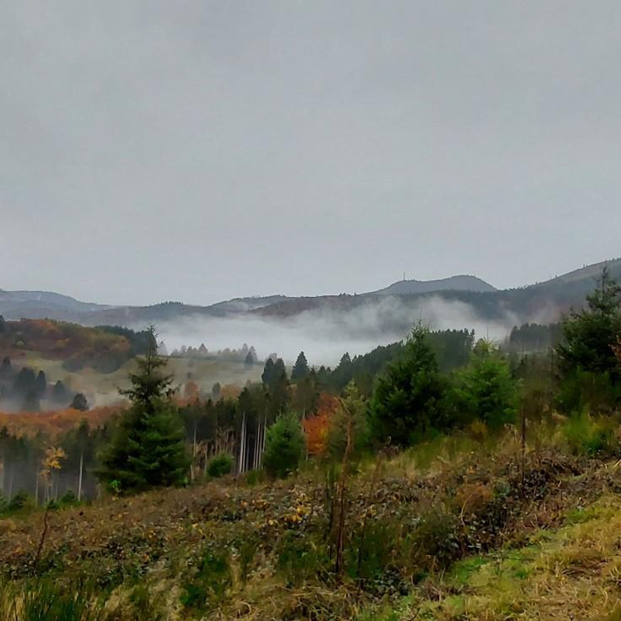
Road Cycling Routes around Schirmeck
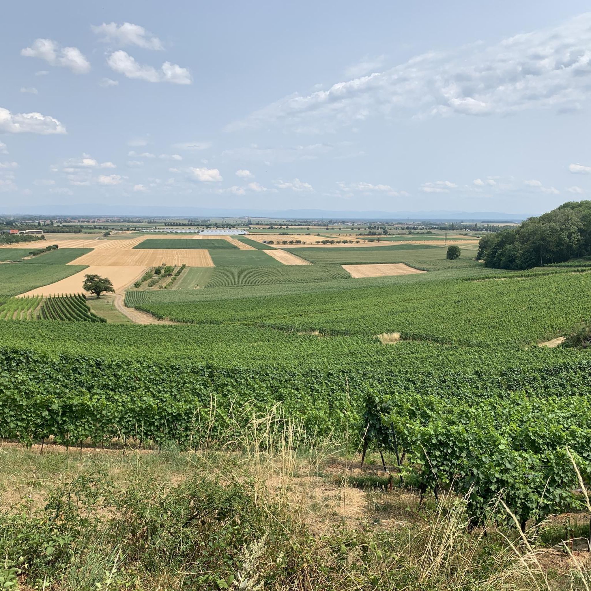
Road Cycling Routes around Dorlisheim
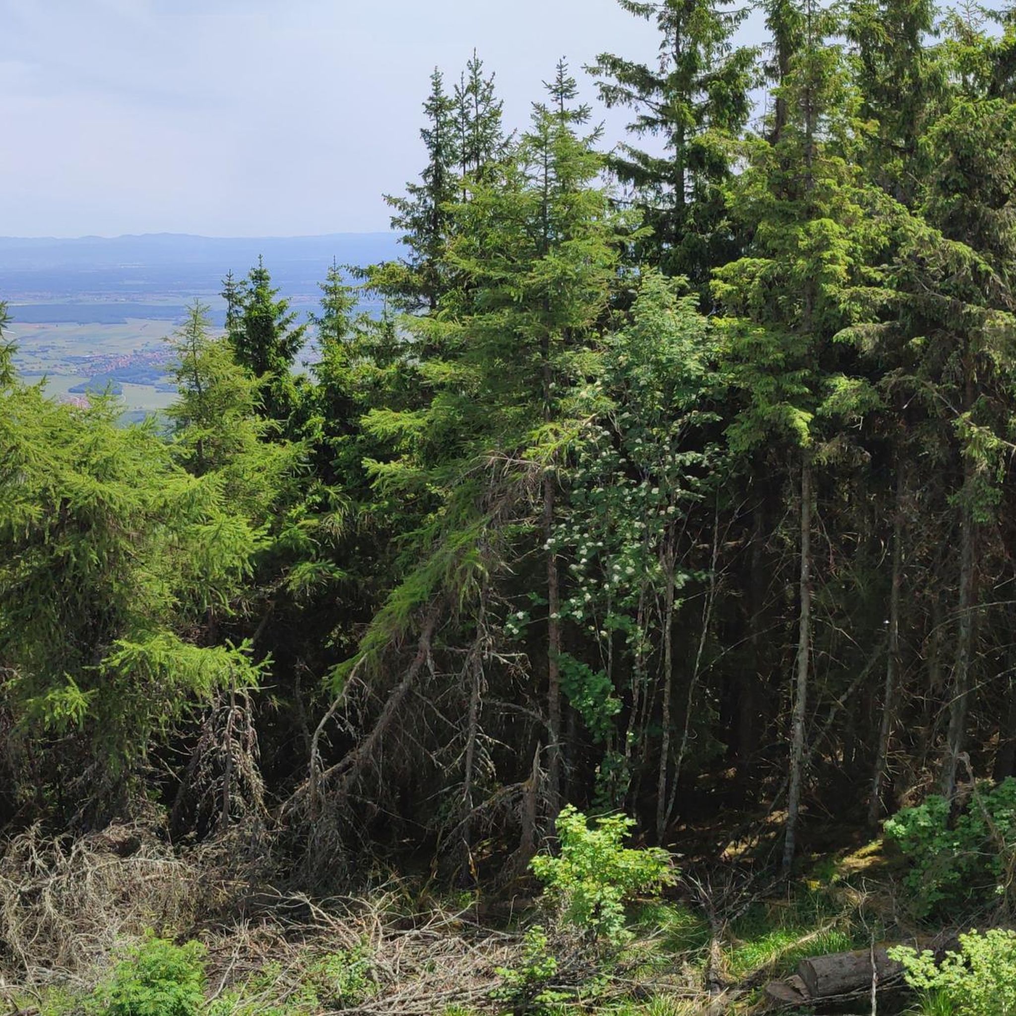
Road Cycling Routes around Griesheim Bei Molsheim
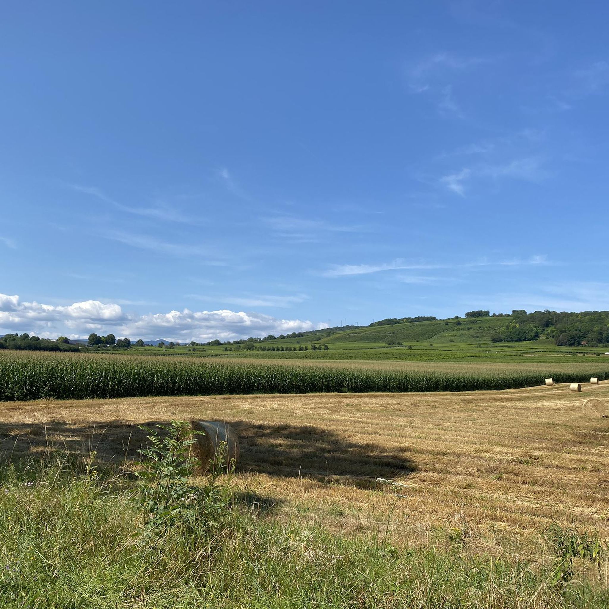
Road Cycling Routes around Avolsheim
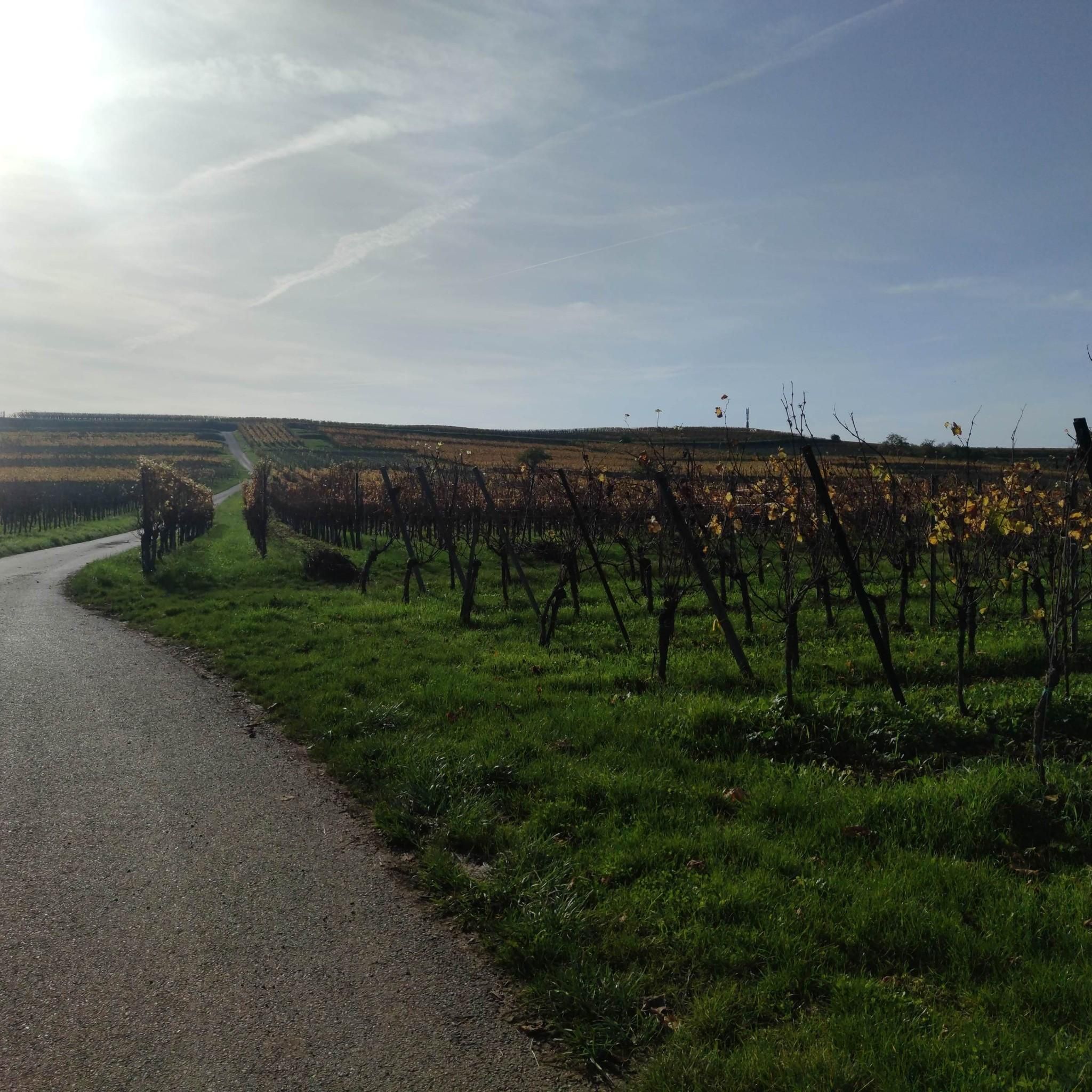
Road Cycling Routes around Westhofen Im Elsass
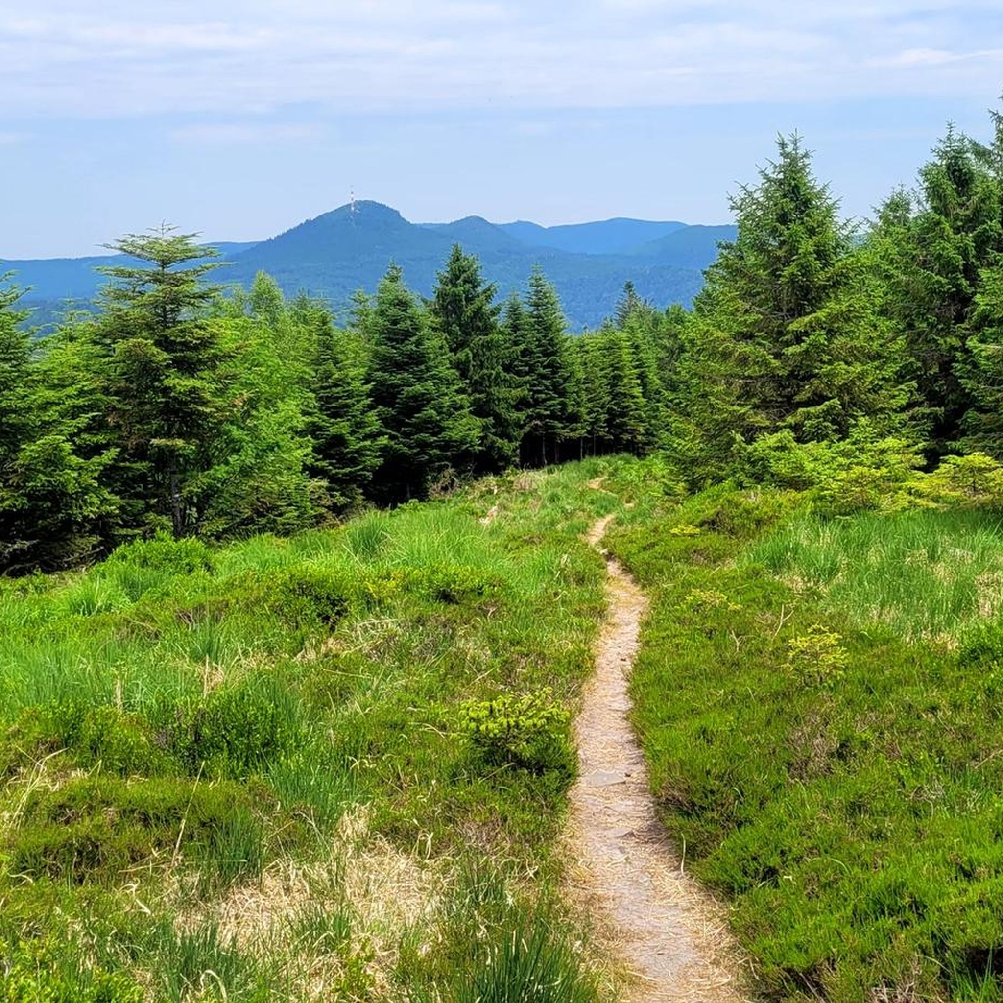
Road Cycling Routes around Grandfontaine
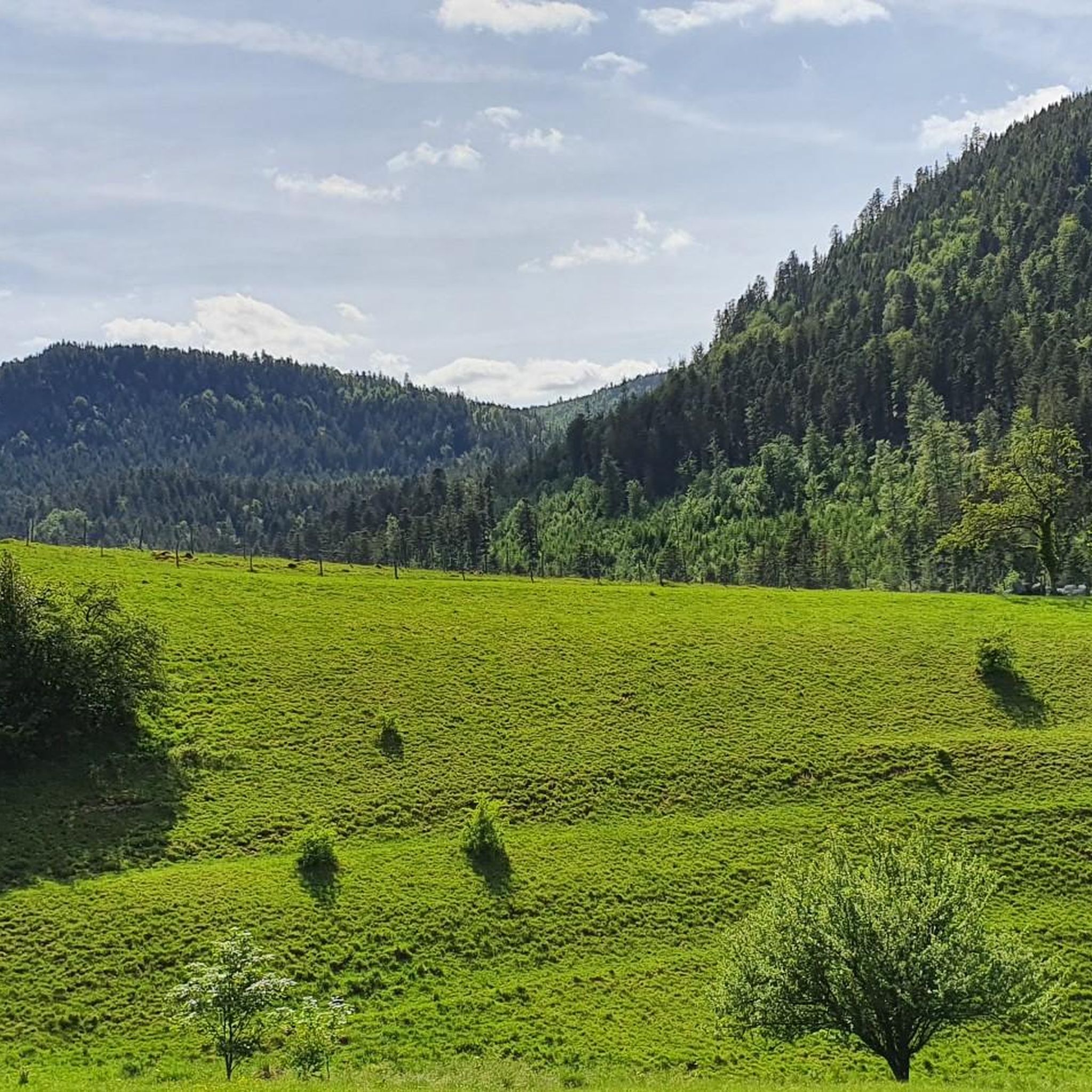
Road Cycling Routes around Vorbruck
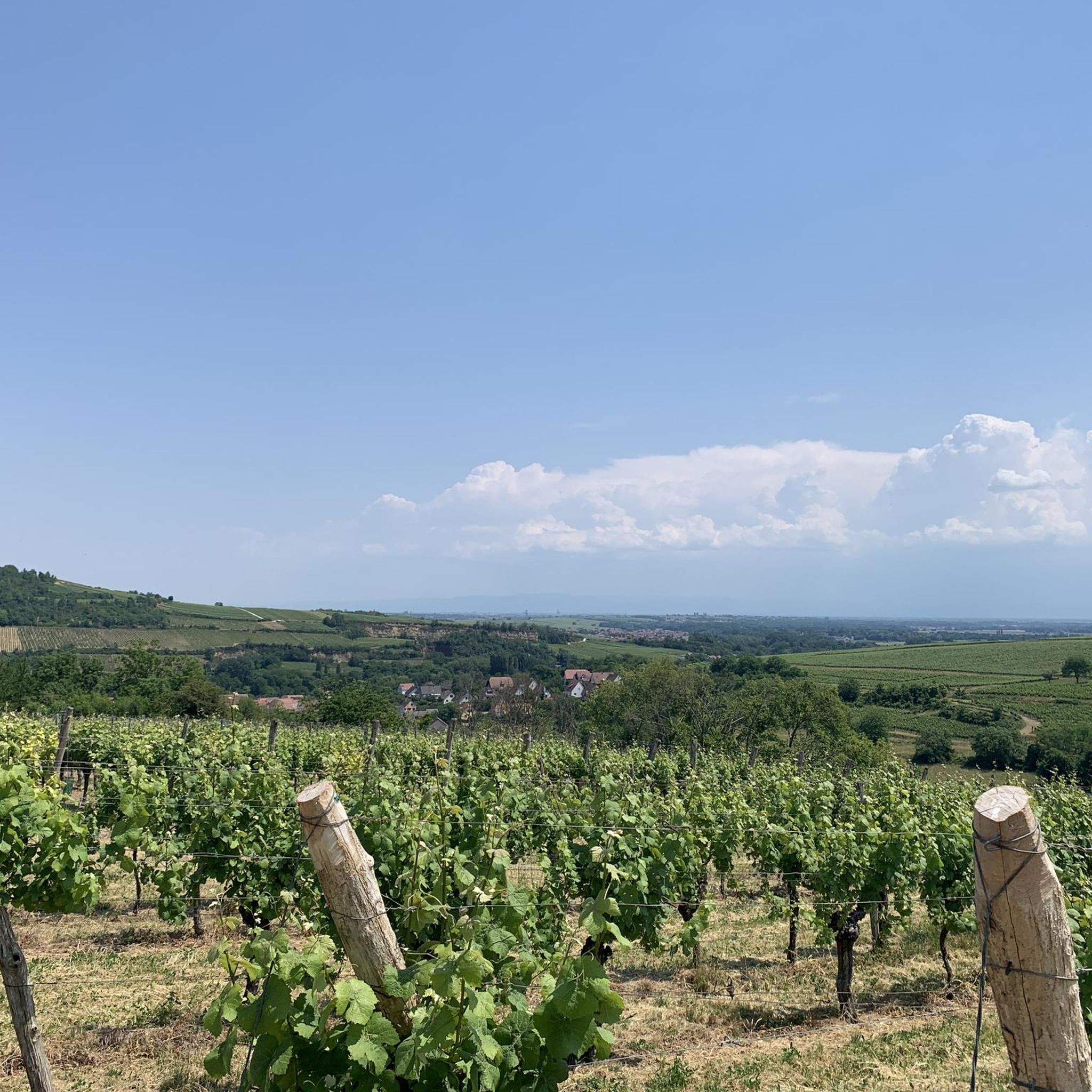
Road Cycling Routes around Dangolsheim
Road Cycling Routes around Sankt Nabor
Road Cycling Routes around Solbach
Other adventures around Molsheim


Tips from the Community

Section of the consistently recommendable cycle path between Schirmeck and Gresswiller.
0
0
Parallel to the railway line, car-free.
0
0
When coming from Schirmeck, it is recommended to turn off in Grandfontaine and take the local road that runs parallel to the D392, which is less busy.
0
0

The lifting gear is technically almost unique in Europe. It connects one end of the canal with the other.
0
0

The Odilienberg (763 m) in Alsace is the most important spiritual center of the region. Founded around 690 by Saint Odilia, the monastery attracts hundreds of thousands of pilgrims annually. The centerpiece of the complex is the Basilica of the Assumption of Mary (1687–1692) with the burial chapel, where the relics of the patron saint rest in an 8th-century sandstone sarcophagus. Directly on the panoramic terrace are the Chapel of Tears and the Chapel of Angels (12th century), known for their luminous gold mosaics from 1935. Inside the basilica, there is also a fine wooden inlaid Way of the Cross by Charles Spindler. Below the monastery rocks runs a magnificent hiking trail. It leads past the monumental, colorful ceramic Way of the Cross (14 stations) and the Lourdes Grotto, both integrated directly into the red sandstone by Léon Elchinger in the 1930s. About a 15-minute walk further down, the Odilien spring emerges in the forest, its water traditionally sought for eye ailments. The entire mountain plateau is enclosed by the Heidenmauer, a mysterious, 11-kilometer-long prehistoric defensive wall. Following the hiking trails further south, you reach the Maennelstein (817 m), the highest point of the ridge, which offers a wide panoramic view over the Rhine plain to the Black Forest. The monastery grounds are open all year round and admission is free. Would you like to use this short text for a brochure or are you still looking for information on how to get there for your tour? AI answers may contain errors. For legal advice, you should consult an expert. More information
0
0

Wrong location and duplicate - here is the correct place: https://www.komoot.com/de-DE/highlight/1057103?ref=ihd&t_s=referral&t_cid=highlight_share&t_ref_username=1065335028189
0
0

Great landscape and beautiful cycle path.
0
0

Very good place to stop for refreshments!
0
0
Frequently Asked Questions
How many road cycling routes are available in Molsheim?
Molsheim offers a wide selection of road cycling routes, with over 360 tours available. These routes cater to various skill levels, including easy, moderate, and difficult options.
What kind of terrain can I expect when road cycling around Molsheim?
The Molsheim region provides diverse terrain for road cyclists. You'll find challenging climbs and scenic descents in the Vosges foothills, picturesque routes winding through the renowned vineyards of the Alsace Wine Route, and flat, leisurely paths along the historic Canal de la Bruche. This variety ensures options for different preferences and fitness levels.
Are there challenging road cycling routes with significant climbs in Molsheim?
Yes, for cyclists seeking a challenge, the Vosges foothills offer routes with significant elevation gain. An example is the Col de Grendelbruch — loop from Schirmeck, a difficult 53.8 km route with over 1000 meters of elevation gain. Another demanding option is the Col d‘Urbeis — loop from Saâles, covering nearly 50 km with around 900 meters of ascent.
Are there easy or family-friendly road cycling routes in Molsheim?
Absolutely. The region features many easy and moderate routes, perfect for a relaxed ride or families. The Canal de la Bruche – Bruche Canal loop from Molsheim is a popular moderate option, offering a mostly flat and scenic ride along the historic canal. There are over 70 easy routes available in the area.
Can I combine road cycling with visiting natural attractions like waterfalls?
Yes, you can. The region around Molsheim is home to beautiful natural features. The Nideck Waterfall, a 25-meter high cascade, is nestled in a well-preserved natural setting and can be a refreshing destination to visit, often combined with a short walk from nearby cycling paths.
Are there road cycling routes that pass through vineyards or historical villages?
Molsheim is an excellent starting point for exploring the famous Alsace Wine Route by bike. Many routes wind through picturesque vineyards and charming historical villages like Rosheim and Obernai, offering a quintessential Alsatian experience with cultural stops along the way. The "Bulles et Bugatti" Loop is a local route that showcases less-traveled corners of Alsace, passing through villages with vineyard views.
What landmarks or viewpoints can I see along road cycling routes in Molsheim?
Road cycling routes in Molsheim often lead to or pass by significant landmarks and offer stunning viewpoints. You can cycle towards Mount Sainte-Odile, which features a historic monastery complex with fantastic panoramic views. Other notable sights include the Donon Temple and the Ruins of Nideck Castle.
Are there circular road cycling routes available in Molsheim?
Yes, many road cycling routes in Molsheim are designed as loops, allowing you to start and end in the same location. Examples include the Col de Grendelbruch — loop from Schirmeck and the Rosheim to Saint-Nabor – Porte de Boersch loop from Bischoffsheim, which are popular choices among local cyclists.
What do other road cyclists enjoy most about the routes in Molsheim?
The road cycling routes in Molsheim are highly rated by the komoot community, with an average score of 4.5 stars from over 500 reviews. Cyclists frequently praise the diverse landscapes, from the challenging climbs of the Vosges foothills to the serene paths along the Canal de la Bruche, and the picturesque vineyard routes that offer a blend of natural beauty and cultural experiences.
What is the best time of year for road cycling in Molsheim?
The region is generally pleasant for road cycling from spring through autumn. Spring brings blooming vineyards, while summer offers warm weather for rides, especially along shaded canal paths. Autumn provides stunning fall foliage, particularly in the Vosges foothills and vineyards. Always check local weather conditions before heading out.
Is it possible to access road cycling routes in Molsheim using public transport?
Molsheim has public transport connections, and some routes, particularly those along the Canal de la Bruche, can be accessed from various points. For specific routes, it's advisable to check local train or bus schedules and their bike carriage policies, as options may vary.
Where can I find parking for road cycling routes in Molsheim?
Molsheim and its surrounding villages offer various parking options, especially near popular starting points for cycling routes. Many towns along the Canal de la Bruche or near the Vosges foothills provide public parking facilities. It's recommended to check specific village information for the most convenient parking for your chosen route.
Most popular routes around Molsheim
Most popular attractions around Molsheim

Get inspired with the komoot mobile app


Didn’t find what you were looking for?
Check out more Road cycling routes throughout Molsheim below and find the perfect route in your destination.
Explore more
Browse the best Road cycling routes in other regions.
