The best walks and hikes around Martinique
4.3
(1380)
16,347
hikers
106
hikes
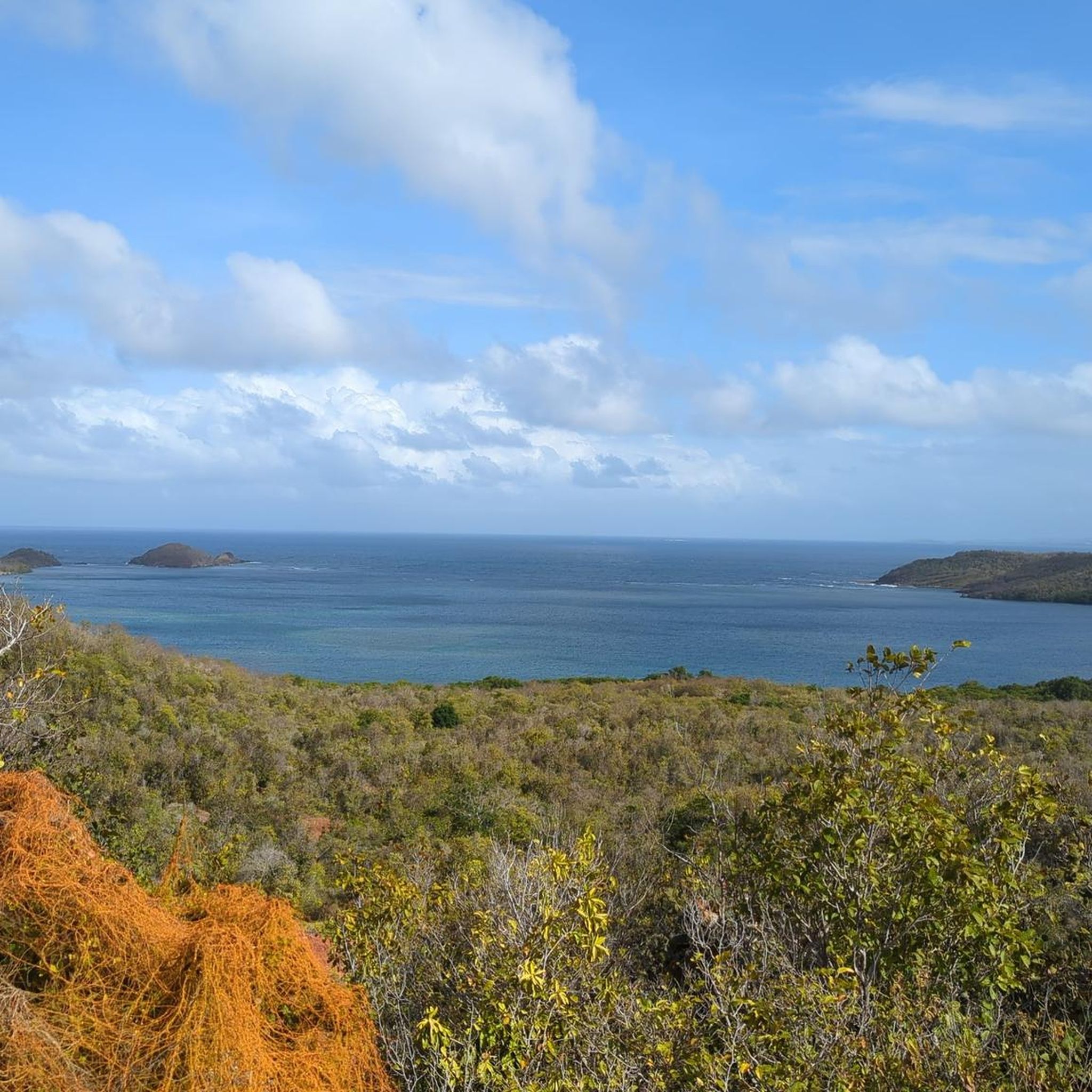
Hiking around Martinique offers diverse landscapes, characterized by volcanic mountains, dense rainforests, and varied coastlines. The northern part of the island features volcanic terrain, including Mount Pelée, the island's highest point, and the Pitons du Carbet. Tropical rainforests cover a significant portion of the land, hosting numerous waterfalls and rivers. The coastline provides a range of experiences, from rugged cliffs to sandy beaches and unique geological formations.
Best hiking trails around Martinique
- The most popular hiking route is View of…
Last updated: July 5, 2026
4.6
(257)
3,162
hikers
Moderate hike. Good fitness required. Easily-accessible paths. Suitable for all skill levels.
4.5
(153)
2,061
hikers
7.69km
04:27
650m
650m
Hard hike. Good fitness required. Sure-footedness, sturdy shoes and alpine experience required.

Sign up for free
4.8
(37)
908
hikers
Easy hike. Great for any fitness level. Easily-accessible paths. Suitable for all skill levels.
4.2
(60)
477
hikers
8.51km
02:56
420m
420m
Moderate hike. Good fitness required. Easily-accessible paths. Suitable for all skill levels.
4.5
(19)
607
hikers
28.8km
09:36
1,380m
1,380m
Hard hike. Very good fitness required. Easily-accessible paths. Suitable for all skill levels.
4.7
(55)
570
hikers
8.58km
02:11
30m
30m
Moderate hike. Good fitness required. Easily-accessible paths. Suitable for all skill levels.
4.7
(31)
792
hikers
Hard hike. Good fitness required. Sure-footedness, sturdy shoes and alpine experience required.
4.7
(74)
1,262
hikers
Moderate hike. Good fitness required. Easily-accessible paths. Suitable for all skill levels.
4.6
(24)
488
hikers
Moderate hike. Good fitness required. Easily-accessible paths. Suitable for all skill levels.
4.8
(34)
219
hikers
16.6km
04:19
110m
110m
Moderate hike. Good fitness required. Easily-accessible paths. Suitable for all skill levels.
Get access to more routes and recommendations from other explorers.
Sign up for free
Already have an account?
Our route recommendations are based on thousands of hikes, rides, and runs completed by other people on komoot.
Start today with a free account
Your next adventure awaits.
Login or Signup
Tips from the Community

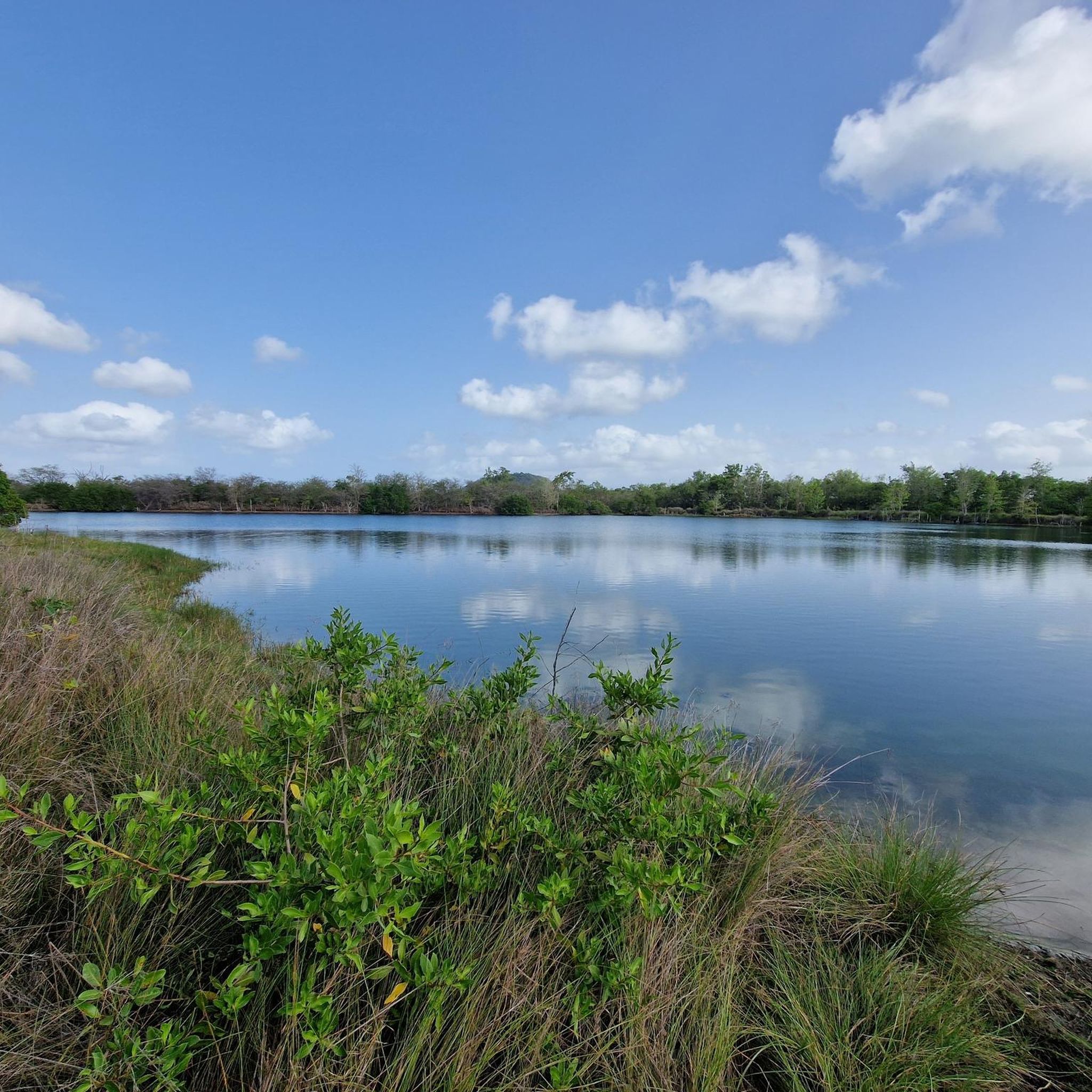
Don't forget to take enough water with you, very good physical condition. But, it's worth the detour
0
0

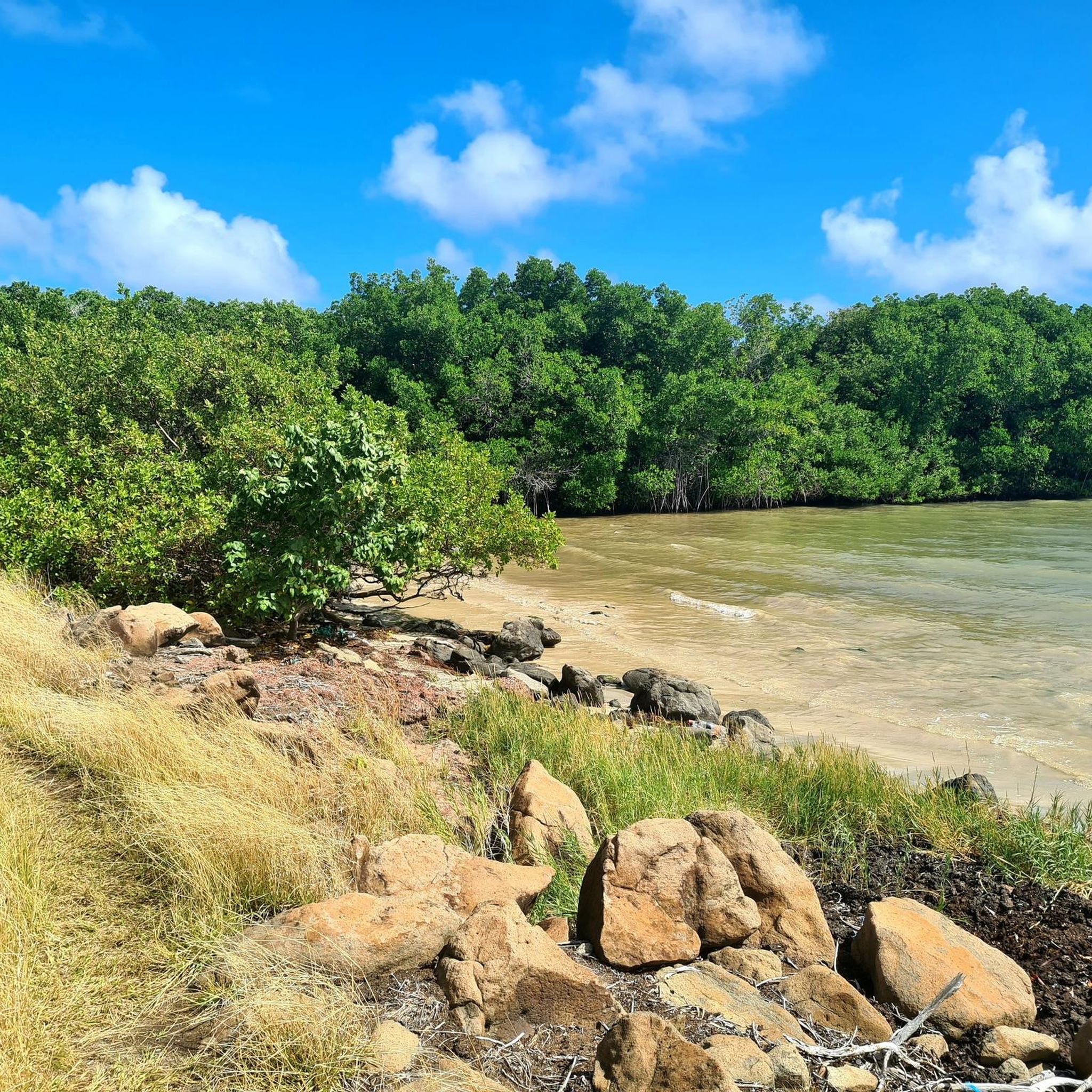
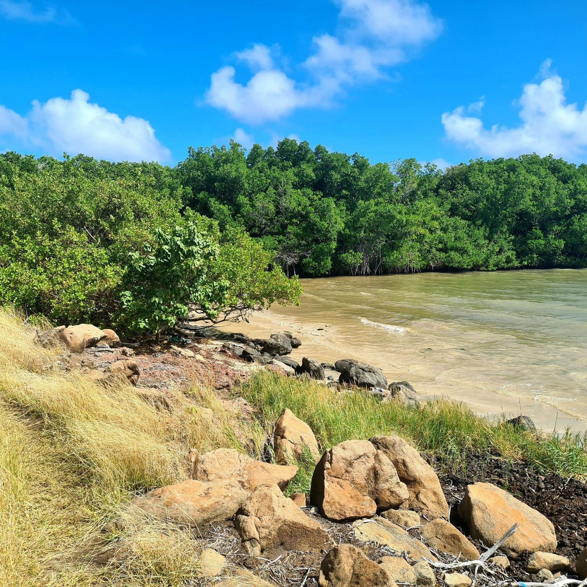
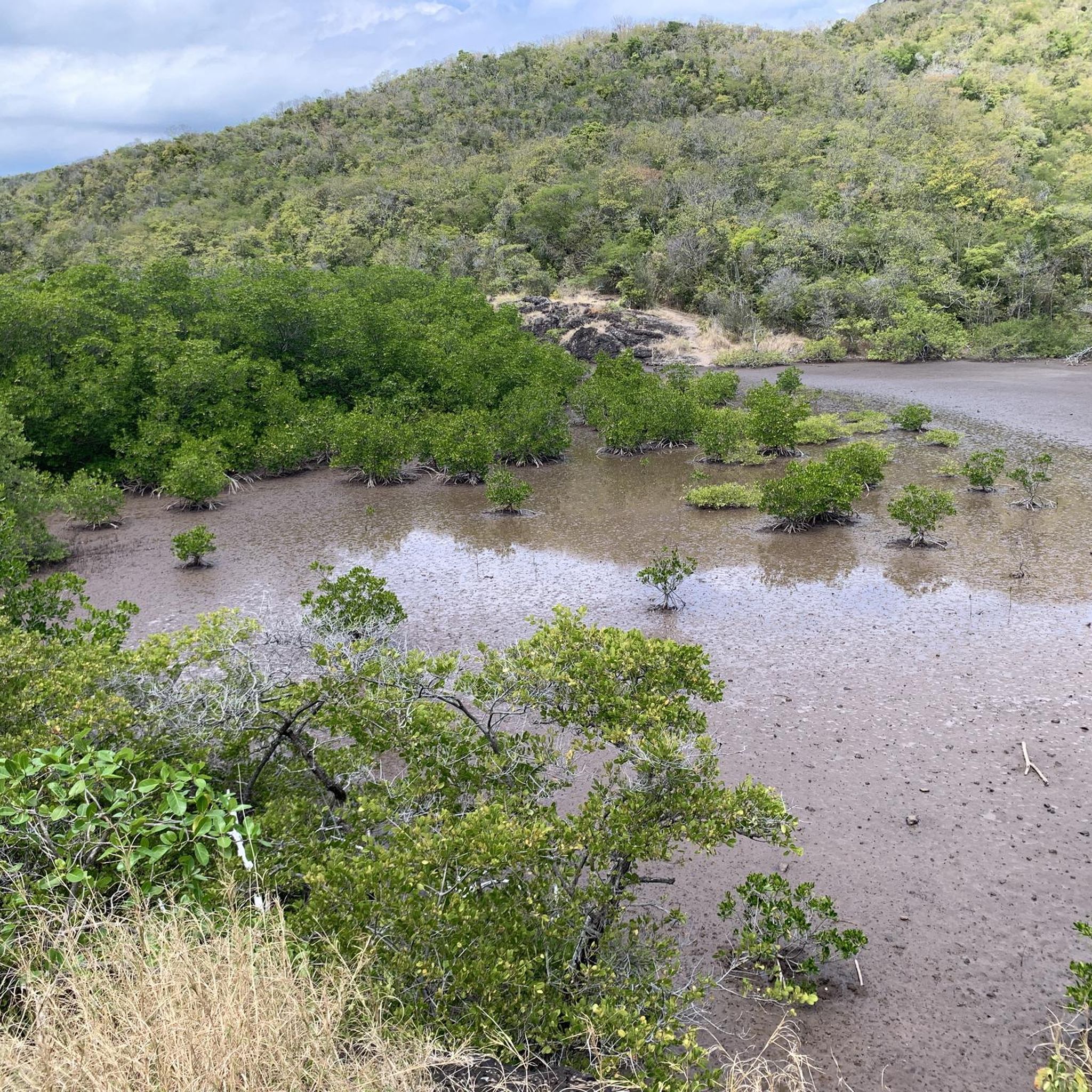
Great trail through the mangrove forest
0
0

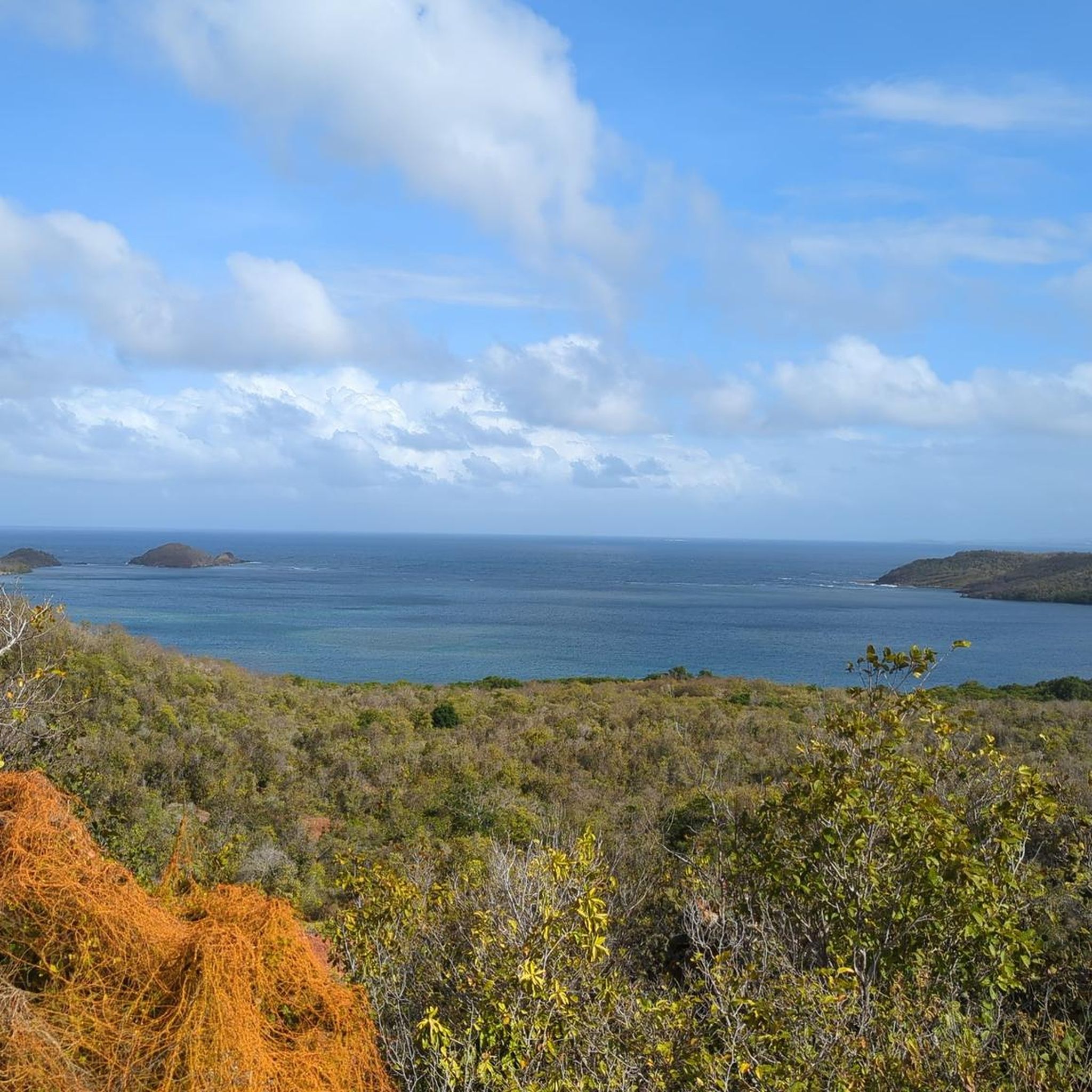
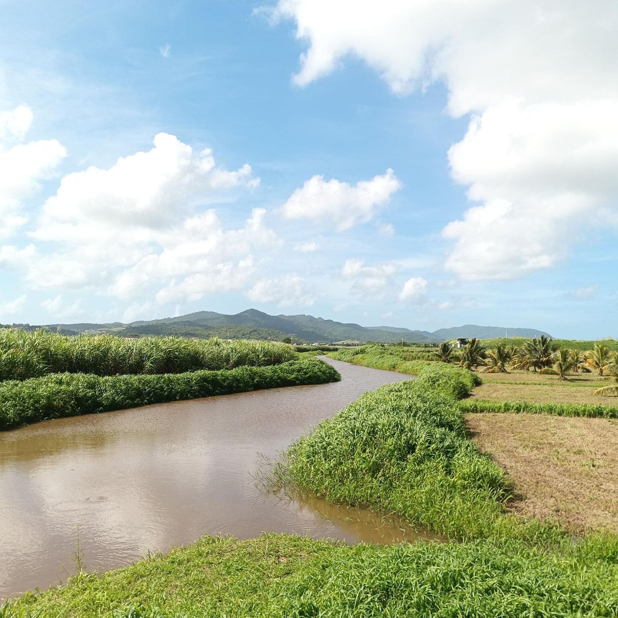
This is a protected reserve; avoid bringing your animals.
0
0

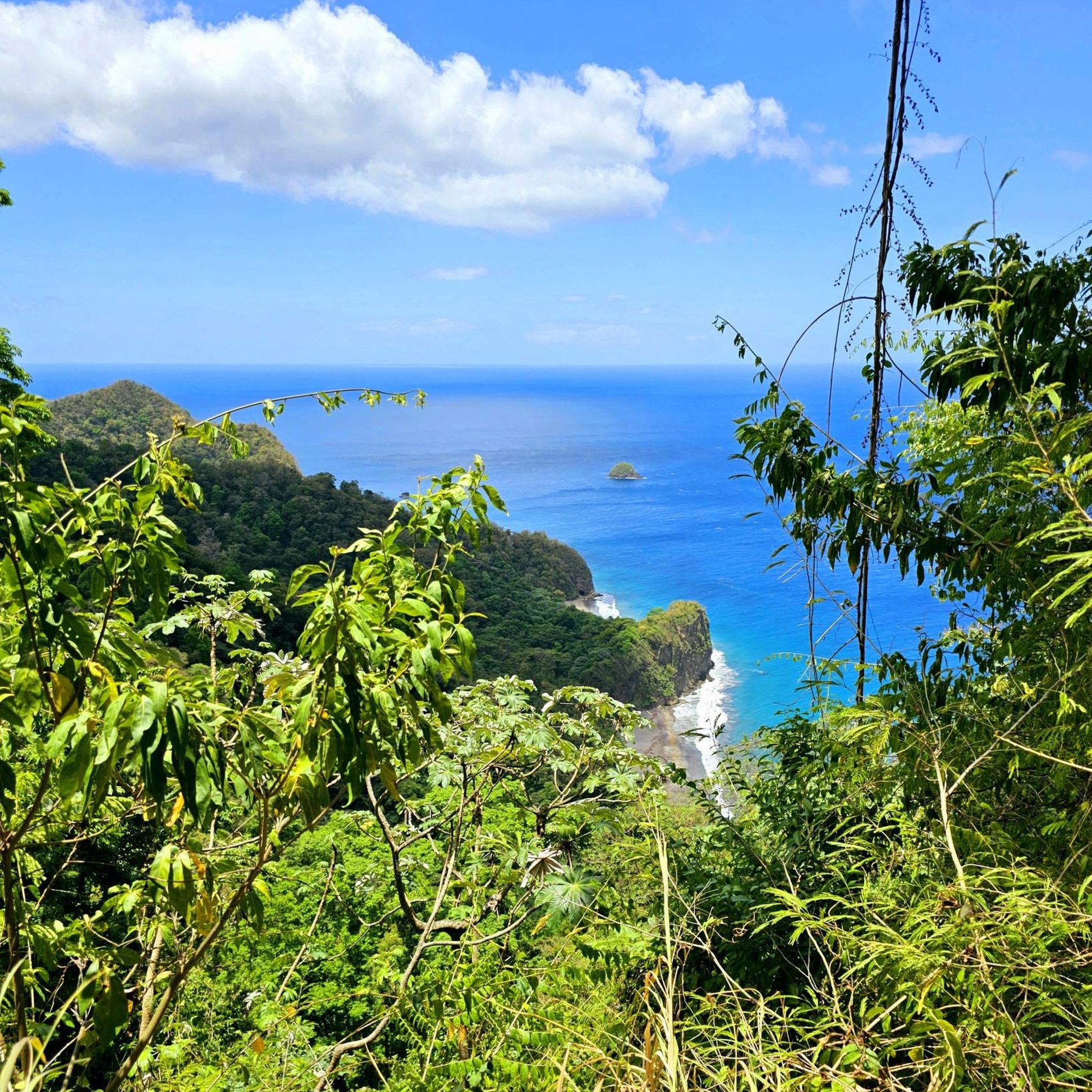
The most beautiful beach in Martinique!
0
0


A very difficult hike; it's astonishing how many people are wearing inadequate footwear. Steep ascents and descents with high steps, often slippery due to the frequent cloud cover. The final section from the third refuge to the summit of "Le Chinois" is only recommended for experienced hikers, as it consists almost entirely of boulders. It's also advisable to wear long trousers, as you'll frequently be scraping along bushes. The detour of about 150 meters to the summit cross to the left of the arrival point on the crater rim is a good path, but unfortunately very overgrown. Nevertheless, it's an absolutely worthwhile detour because the cross offers a fantastic view south across the entire island, and you can also look down into the crater.
0
0

Frequently Asked Questions
What types of hiking terrain can I expect in Martinique?
Martinique offers a diverse range of hiking terrains. You'll find challenging volcanic landscapes, dense tropical rainforests with waterfalls, and varied coastal paths. The northern part of the island features mountainous massifs of volcanic origin, while the coastline provides experiences from rugged cliffs to pristine beaches and unique geological formations like the semi-desert landscape of the Savane des Pétrifications.
Are there hiking trails suitable for beginners or families in Martinique?
Yes, Martinique offers trails for all ability levels. For an easy, family-friendly option, consider the Anse Couleuvre Waterfall – Couleuvre Waterfall loop from Anse Lévrier, which is 1.9 miles (3.1 km) and leads through tropical forest to a beautiful waterfall. The island has over 50 easy routes, ensuring pleasant walks for everyone.
What are some challenging hikes for experienced trekkers in Martinique?
For experienced hikers seeking a challenge, the ascent of Mount Pelée is highly recommended. The View of Montagne Pelée – Mount Pelée Trail loop from Le Chinois is a difficult 4.8 miles (7.7 km) path that climbs through rainforest to the summit, offering panoramic views. Another demanding option is the View of Anse Couleuvre – Trois Bras River loop from Anse Lévrier, a difficult 28.8 km route with significant elevation gain.
Where can I find hikes that feature waterfalls in Martinique?
Martinique is known for its lush rainforests and stunning waterfalls. A popular choice is the Anse Couleuvre Waterfall – Couleuvre Waterfall loop from Anse Lévrier, which takes you directly to a spectacular waterfall. Other notable spots include the Gorges de la Falaise and Fontaine Didier, where you can often swim in natural pools beneath the cascades.
Are there coastal hiking trails with scenic views in Martinique?
Absolutely. Martinique's coastline offers numerous trails with breathtaking ocean views. The View of Baie du Trésor – Cliffs of La Trinité loop from Réserve naturelle de la presqu'île de la Caravelle is a 7.4 miles (11.9 km) route traversing the Caravelle Peninsula nature reserve, providing stunning coastal vistas. The Trace des Caps along the south coast also offers extensive sections with ocean views, pristine beaches, and rugged cliffs.
What unique natural landmarks can I discover while hiking in Martinique?
Beyond its volcanic peaks and rainforests, Martinique boasts unique natural landmarks. The Savane des Pétrifications – Grande Anse des Salines loop from Réserve Naturelle des îlets de Sainte-Anne takes you through a semi-desert landscape of fossilized rocks and turquoise lagoons. You can also find the iconic Diamond Rock visible from trails like the Morne Larcher Trail – View from Morne Larcher loop from Plage d'Anse Cafard.
What is the best time of year to go hiking in Martinique?
The dry season, which runs from December to April, is generally considered the best time for hiking in Martinique. During these months, the weather is typically more stable with less rainfall, making trails less muddy and more enjoyable. The tropical climate ensures pleasant temperatures year-round, but avoiding the wetter season can enhance your hiking experience.
Are there any circular hiking routes in Martinique?
Yes, many trails in Martinique are designed as loops, allowing you to start and end at the same point. Examples include the View of Baie du Trésor – Cliffs of La Trinité loop from Réserve naturelle de la presqu'île de la Caravelle and the View of Montagne Pelée – Mount Pelée Trail loop from Le Chinois. These circular routes offer varied scenery without retracing your steps.
What do other hikers enjoy most about hiking in Martinique?
The hiking trails in Martinique are highly rated by the komoot community, with an average score of 4.3 stars from over 1,100 reviews. Hikers frequently praise the island's incredible natural diversity, from the challenging volcanic ascents of Mount Pelée to the refreshing rainforest trails leading to waterfalls, and the stunning coastal views along routes like those on the Caravelle Peninsula.
Can I hike to the summit of Mount Pelée?
Yes, hiking to the summit of Mount Pelée, Martinique's highest point, is a popular and rewarding experience for fit hikers. The View of Montagne Pelée – Mount Pelée Trail loop from Le Chinois is a challenging route that ascends through the rainforest to the volcano's peak, offering incredible scenic views of the island and both the Caribbean Sea and Atlantic Ocean.
How many hiking trails are available in Martinique?
Martinique offers a wide selection of hiking opportunities, with over 100 routes available on komoot. These trails cater to various preferences and fitness levels, including approximately 50 easy routes, 37 moderate routes, and 19 difficult routes.
Are there any hikes that offer views of the famous Diamond Rock?
Yes, you can find trails that provide excellent views of the iconic Diamond Rock. The Morne Larcher Trail – View from Morne Larcher loop from Plage d'Anse Cafard involves a steep climb but rewards hikers with breathtaking panoramic views of Diamond Rock and the southern coast of Martinique.
Most popular routes around Martinique
Most popular attractions around Martinique

Get inspired with the komoot mobile app


Didn’t find what you were looking for?
Check out more Hikes throughout Martinique below and find the perfect route in your destination.
Explore more
Browse the best Hikes in other regions.
