Top 16 Mountain Passes around Argelès-Sur-Mer
Mountain passes around Argelès-Sur-Mer provide access to the Albères massif, a rugged range situated between the Mediterranean Sea and the Pyrenees. This area features deep valleys and peaks exceeding 1,000 meters. The passes offer routes through diverse natural landscapes, including Mediterranean vegetation and higher-elevation forests. The region is characterized by its geographic position, providing both coastal and mountainous environments.
Best mountain passes around Argelès-Sur-Mer
- The most popular mountain pass is Banyuls Pass, a mountain pass that marks the border…
Last updated: May 14, 2026
Banyuls Pass
Highlight • Mountain Pass
Translated by Google •
Tip by

Rumpissa Pass
Highlight • Mountain Pass
Translated by Google •
Tip by

Sign up now to discover places like this
Get recommendations on the best single tracks, peaks, & plenty of other exciting outdoor places.
Sign up for free
Ascent to Coll de Banyuls from Espolla
Highlight (Segment) • Mountain Pass
Translated by Google •
Tip by

Ullat Pass
Highlight • Mountain Pass
Translated by Google •
Tip by

Coll de l'Estaca
Highlight • Mountain Pass
Translated by Google •
Tip by

Sign up for free to discover even more mountain passes around Argelès-Sur-Mer.
Sign up for free
Already have an account?
Start today with a free account
Your next adventure awaits.
Login or Signup
Popular around Argelès-Sur-Mer

Triathlon 360 – my journey around the world

The Crossing of the Pyrenees via the GR 10 — Eastern Pyrenees
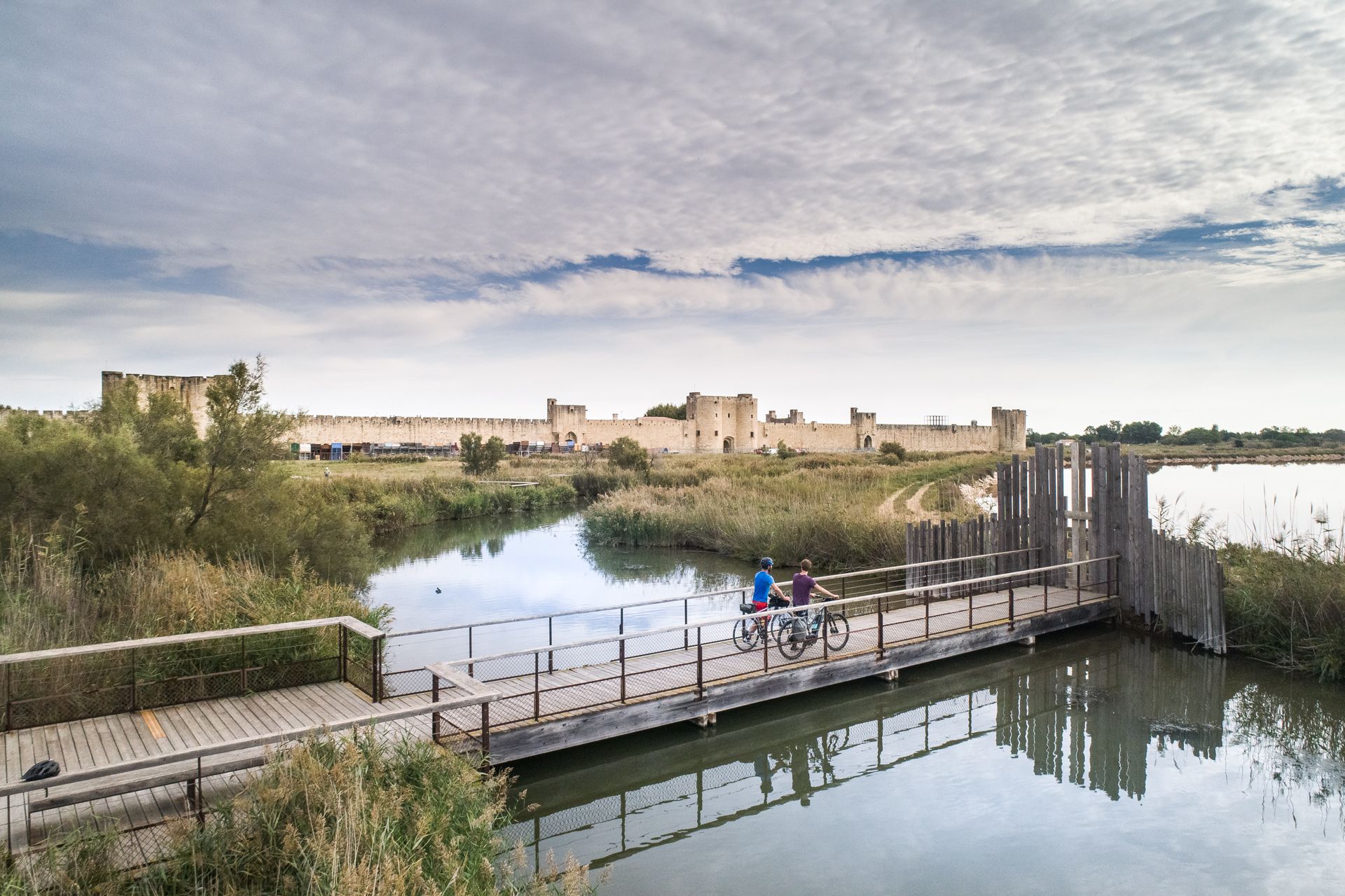
The most beautiful bike rides in Occitanie
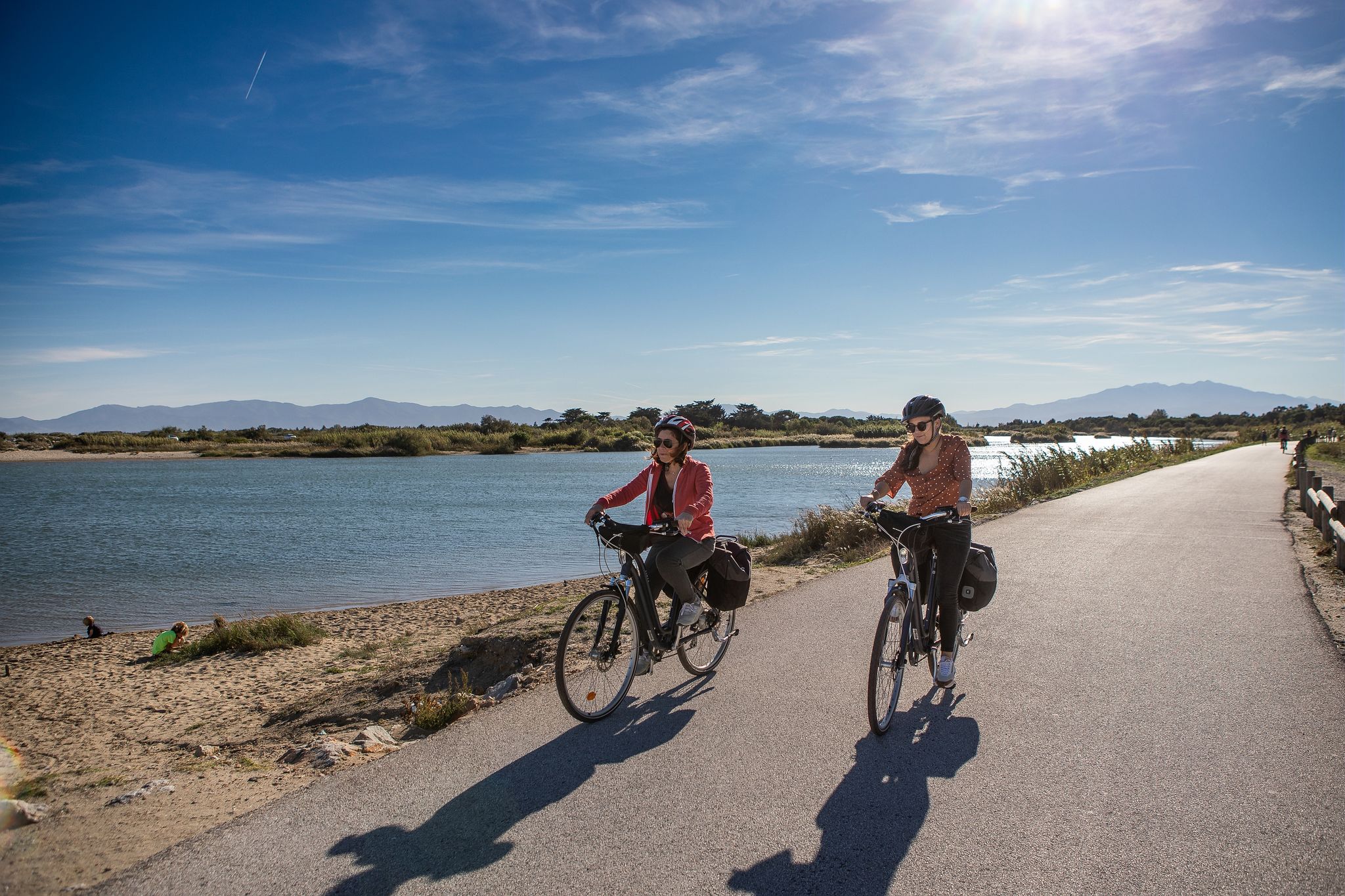
Méditerranée in Occitanie - Ten bike rides in the South of France
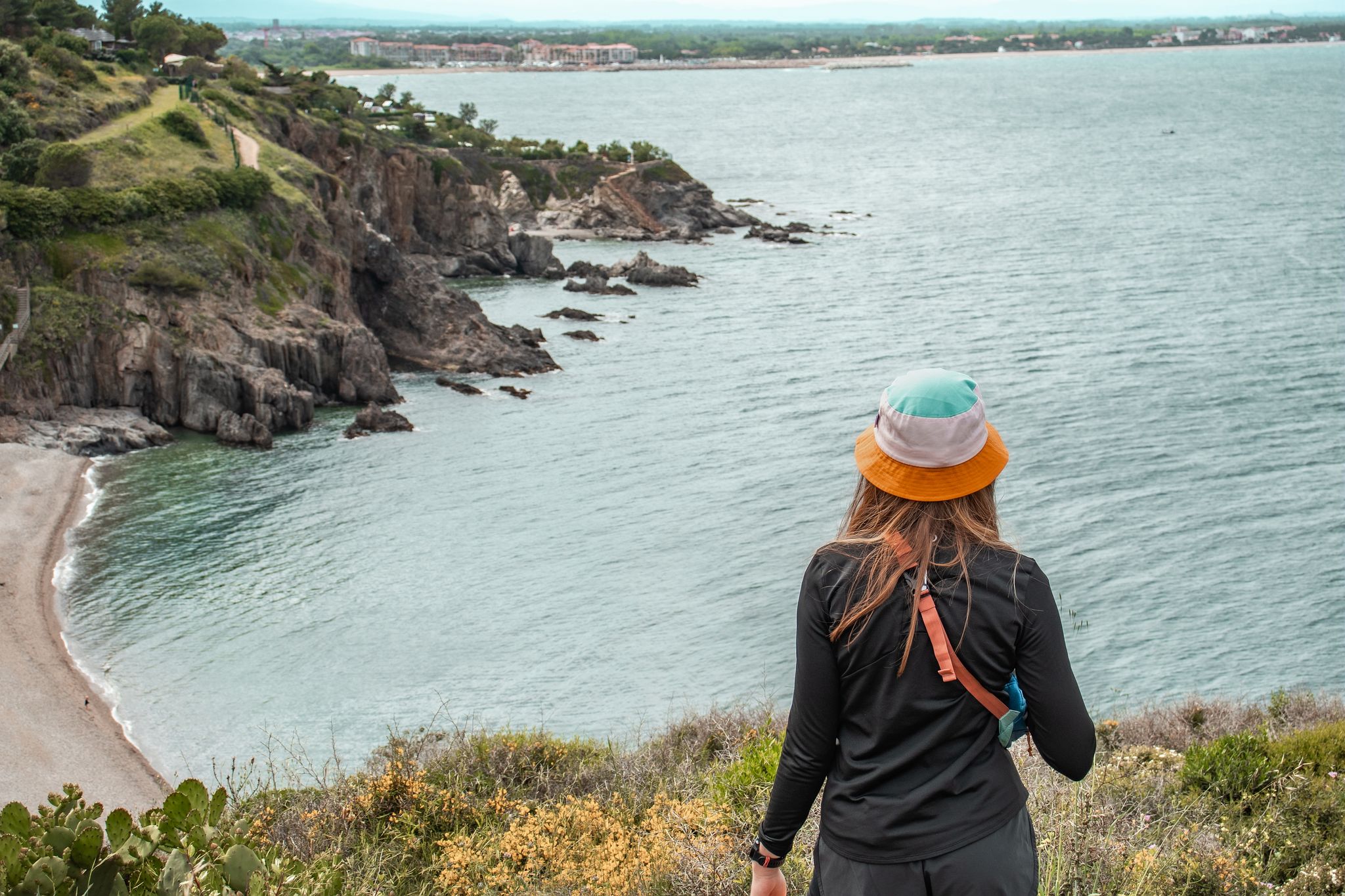
Côte Méditerranée – hiking in Occitania
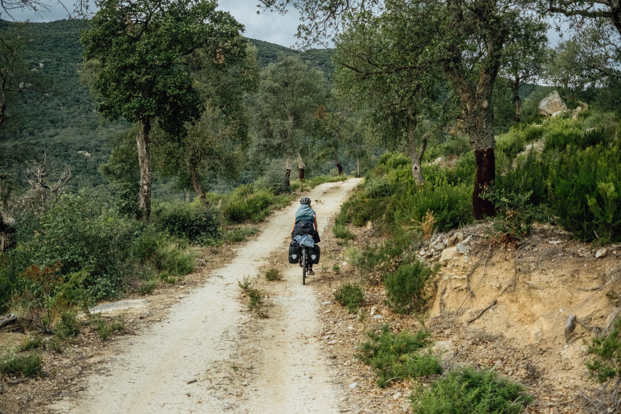
In search of the sun – between the Pyrenees and the Mediterranean
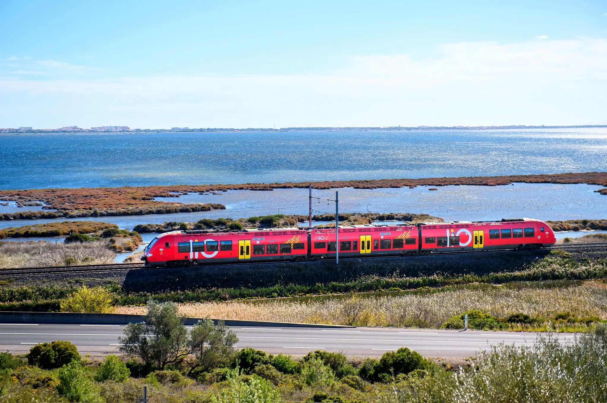
Occitanie Rail Tour – cycle and train along the Occitan Coast
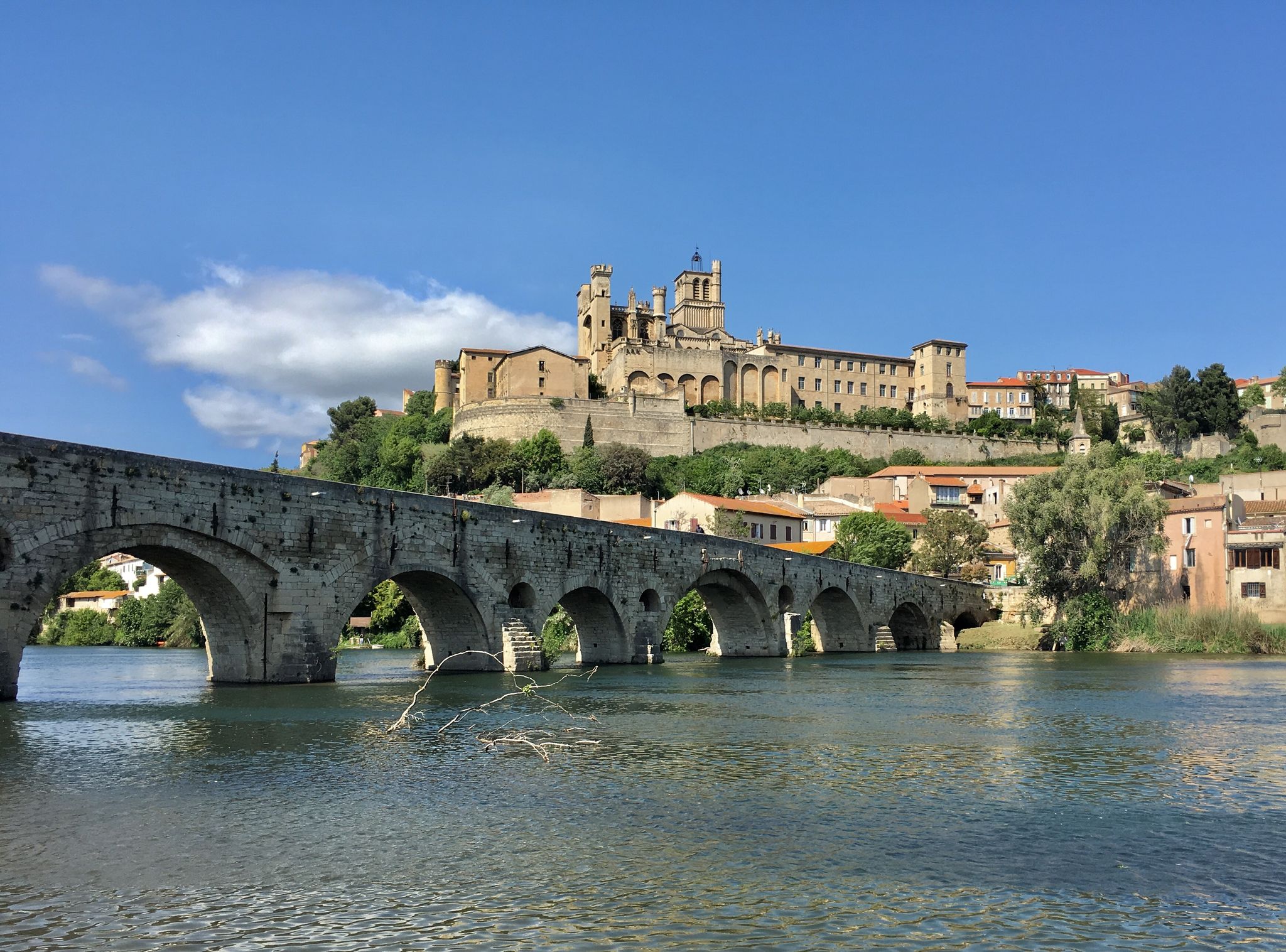
From the Occitan coast to Italy — exploring the Mediterranean by bike
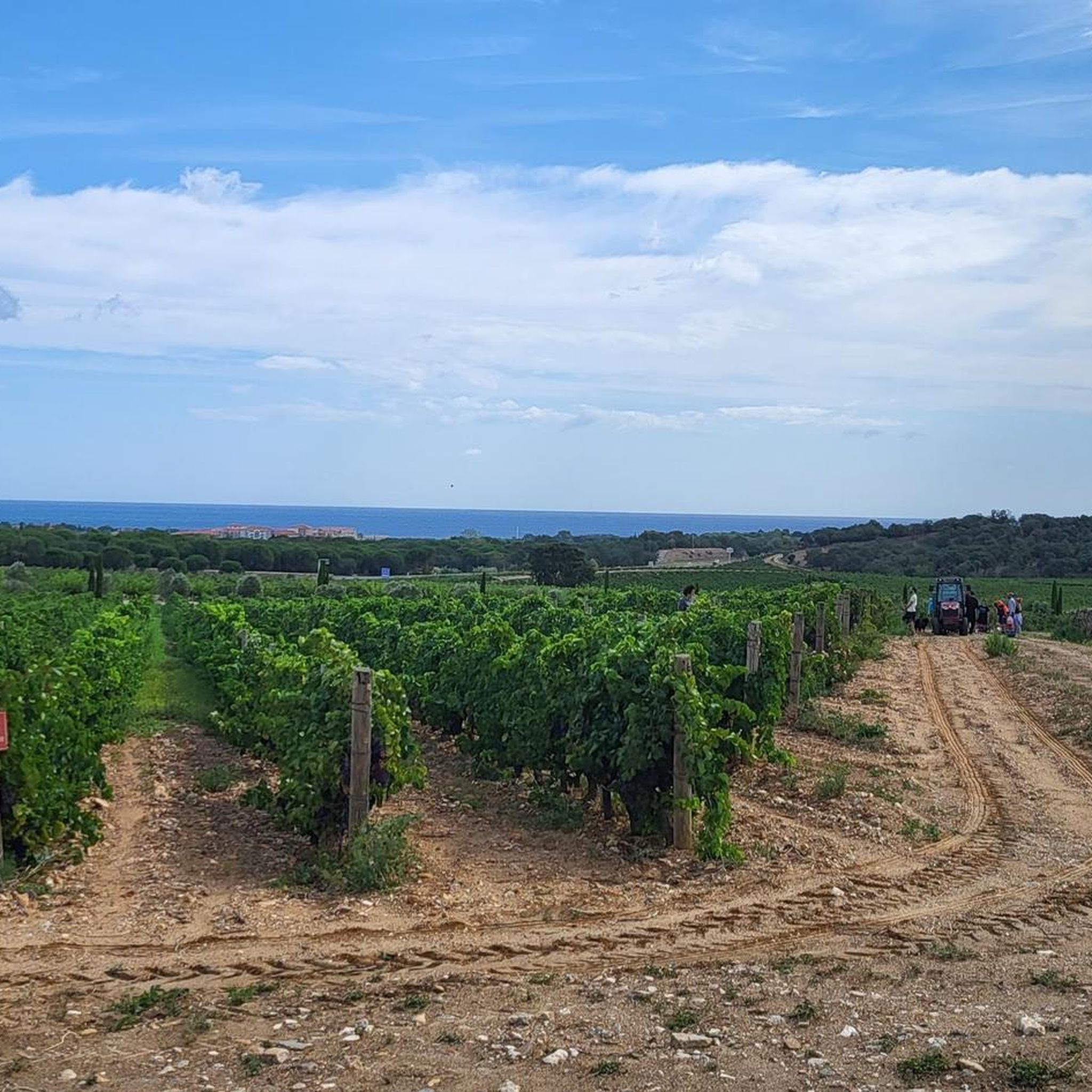
Road Cycling Routes around Argelès-Sur-Mer
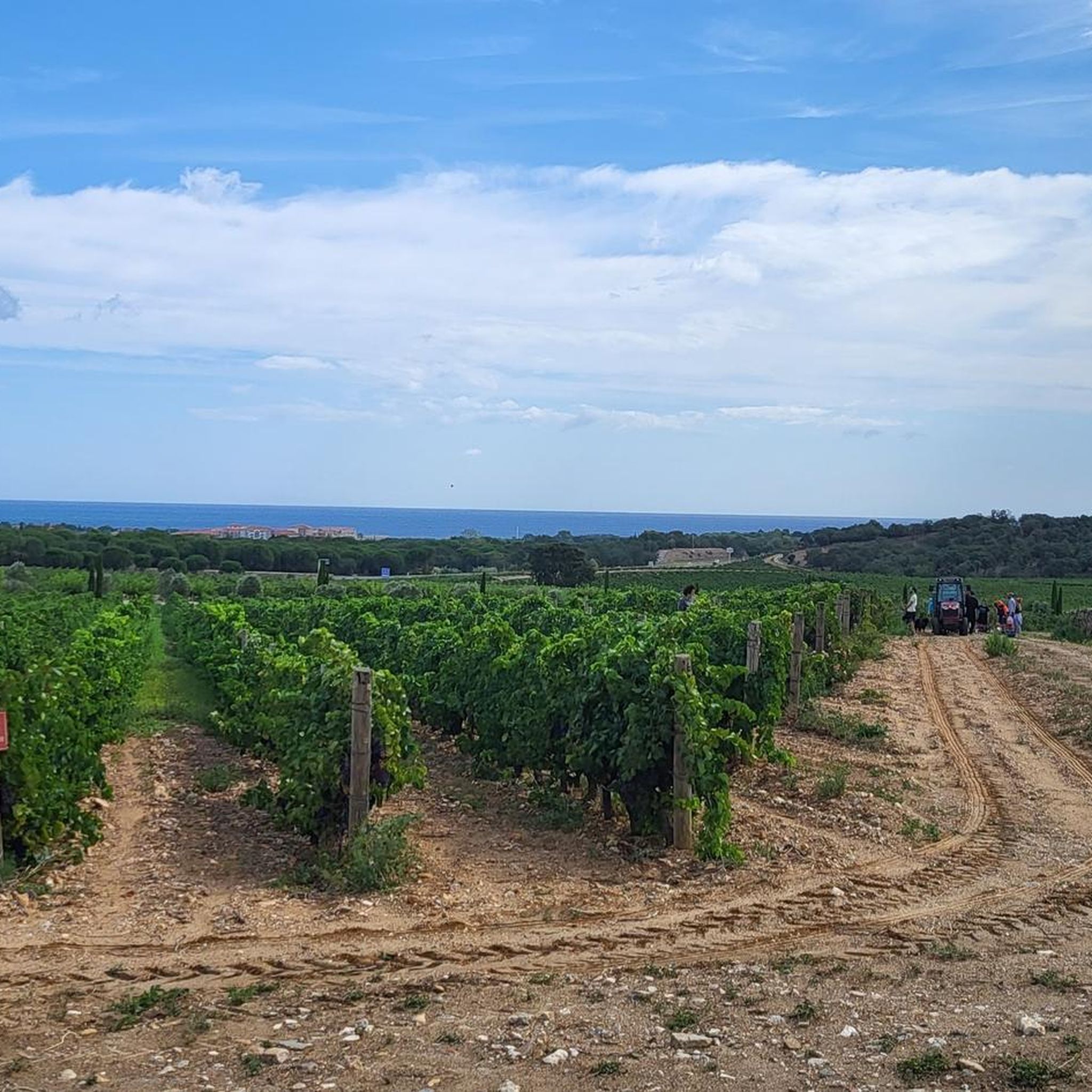
Hiking around Argelès-Sur-Mer
Other adventures around Argelès-Sur-Mer


Tips from the Community

Beautiful route and a great view
0
0

A hill with spectacular views. Several trails depart from here. It's worth taking a detour when descending from Puig Neulós to visit this spot with views on the border between the French eastern Pyrenees and the Catalan Pyrenees.
1
0

The Green MEPs Jordi Solé and François Alfonsi, and the Social Democrat Éric Andrieu, launched a letter to Pedro Sánchez and Emmanuel Macron, presidents of Spain and France respectively, calling for the reopening of the crossings to be discussed at the 27th Franco-Spanish summit on 19 January in Barcelona. The letter, signed by 31 MEPs, was presented at a press conference at the European Parliament in Strasbourg. Two days later, on 20 January, residents of Espolla reopened the coll for the annual Feria de l'Oli y de l'Olivera in the village. However, on 23 January the French authorities closed the crossing again.
3
0
It is located at an altitude of approximately 936 metres in the Albera mountain range in the Pyrénées-Orientales, France. It is accessible by road via a narrow, paved route, which climbs from Le Boulou and Laroque-des-Albères. The road offers panoramic views as it ascends through the forest.
3
0
At the Col de l'Ullat, there is also a refuge that offers basic services for hikers. Surrounded by forests and with panoramic views, it is an ideal place to enjoy nature and explore the region.
3
1

very nice to drive with great views
1
0

Cross-border crossing between the two states that divided Catalonia after signing the Treaty of the Pyrenees on November 7, 1659. It is part of the Walter Benjamin Route, in total it is approximately 15 km (we know that Benjamin spent a night in the middle of the road) that can be done in one direction for about 5 or 6 hours to return by train from Banyuls to in Portbou. The route, which is signposted, is relatively easy and also coincides with an old smugglers' trail and with the so-called Lister Route, since it was here where the Republican general retreated with his troops in 1939, after of the defeat against the Francoist side.
0
1
Through the Coll de Banyuls, formerly called the Coll d'Espills, one of the routes that connected southern Catalonia, l'Empordà, with northern Catalonia, el Rosselló, ran. It was one of the three passes, the central one, that the Visigoth king Wamba used to cross the Serra de l'Albera in the direction of Septimania. It went up from the Roussillon coast towards the mountains through the Ravaner valley. To its west, another step was through the Vall de Sant Martí, towards the Torre de la Maçana and the Coll de la Carbassera, and to the east, towards Cotlliure via the Coll de la Farella.
3
0
Frequently Asked Questions
What unique natural features can I expect to see at the mountain passes near Argelès-sur-Mer?
The mountain passes in the Albères massif offer diverse natural landscapes. For instance, Ullat Pass is known for its extensive pine forests and even some redwoods, with a precious beech forest found above 600 meters. The region also features Mediterranean vegetation like garrigues, holm oak, and cork oak at lower elevations, transitioning to ash, birch, hazel, and chestnut forests higher up.
Are there any mountain passes with significant historical importance in the region?
Yes, several passes hold historical weight. Banyuls Pass served as a crucial escape route for many people fleeing repression by the Franco regime into France, commemorated by information and memorial plaques. Rumpissa Pass is historically significant as the route taken by the German philosopher Walter Benjamin in 1940 to escape Nazi persecution, now honored as the 'Walter Benjamin Route'.
What kind of outdoor activities can I do around the mountain passes near Argelès-sur-Mer?
The Albères massif, where these passes are located, is a popular destination for hiking and mountain biking, with numerous marked trails offering panoramic views. Cyclists particularly appreciate the challenging inclines and rewarding views at passes like Banyuls Pass. You can find various cycling routes in the area, including options for touring bicycle, MTB trails, and road cycling routes.
Are there any facilities or amenities available at the mountain passes?
At Ullat Pass, you'll find a restaurant called the Chalet de l'Albère. On the Catalan side of Banyuls Pass, there is a small, publicly accessible refuge equipped with a table, oven, and a bedroom, along with a sparingly trickling spring.
Which mountain passes offer the best views of the surrounding region?
Many passes in the Albères massif provide excellent panoramas. Ullat Pass is noted for its great views. Additionally, the broader Albères massif offers trails with panoramic views of the Roussillon plain and the Mediterranean coast, and historical sites like the Tour de la Massane at 800 meters altitude also provide exceptional vistas.
Are there any mountain passes that mark the border between Spain and France?
Yes, both Banyuls Pass and Rumpissa Pass serve as border points between Spain and France. While Catalan is spoken on both sides, these passes clearly delineate the national boundary.
What makes the approach to Banyuls Pass unique for cyclists?
For cyclists, the approach to Banyuls Pass from Catalonia is described as more pleasant due to its incline, leading through a quiet, scenic landscape. The French side, while shorter, is known for being steeper and more challenging. Vehicle traffic is generally low on the entire route, making it appealing for cycling.
Can I find any less-trafficked or quieter mountain passes for a peaceful experience?
The approach to Banyuls Pass from the Catalan side is noted for its quiet, scenic landscape and low vehicle traffic, making it a good option for a more peaceful experience. Similarly, the Ascent to Coll de Banyuls from Espolla is described as a quiet route through wine vineyards with virtually no car traffic.
What is the 'Walter Benjamin Route' and where can I find it?
The 'Walter Benjamin Route' is a significant historical trail associated with Rumpissa Pass. It commemorates the German philosopher Walter Benjamin, who fled Nazi persecution through this pass in 1940. The route from Portbou to the pass is named in his honor, making it a poignant site for those interested in history and remembrance.
Are there any mountain passes that are particularly good for walks and mountain biking?
Ullat Pass, with its extensive pine forests, provides excellent opportunities for walks and mountain biking. The entire Albères massif is generally popular for these activities, featuring numerous marked trails.
What is the significance of Coll de l'Estaca?
Coll de l'Estaca offers great landscapes and views of the Catalan side. Historically, it was one of the routes that connected southern Catalonia (l'Empordà) with northern Catalonia (el Rosselló), used by the Visigoth king Wamba to cross the Serra de l'Albera.
Most popular routes around Argelès-Sur-Mer
Most popular attractions around Argelès-Sur-Mer

Get inspired with the komoot mobile app


Explore more
See even more epic mountain passes by checking out these guides around Argelès-Sur-Mer:
