The best running trails around Laroque-Des-Albères
4.5
(17)
653
runners
29
runs
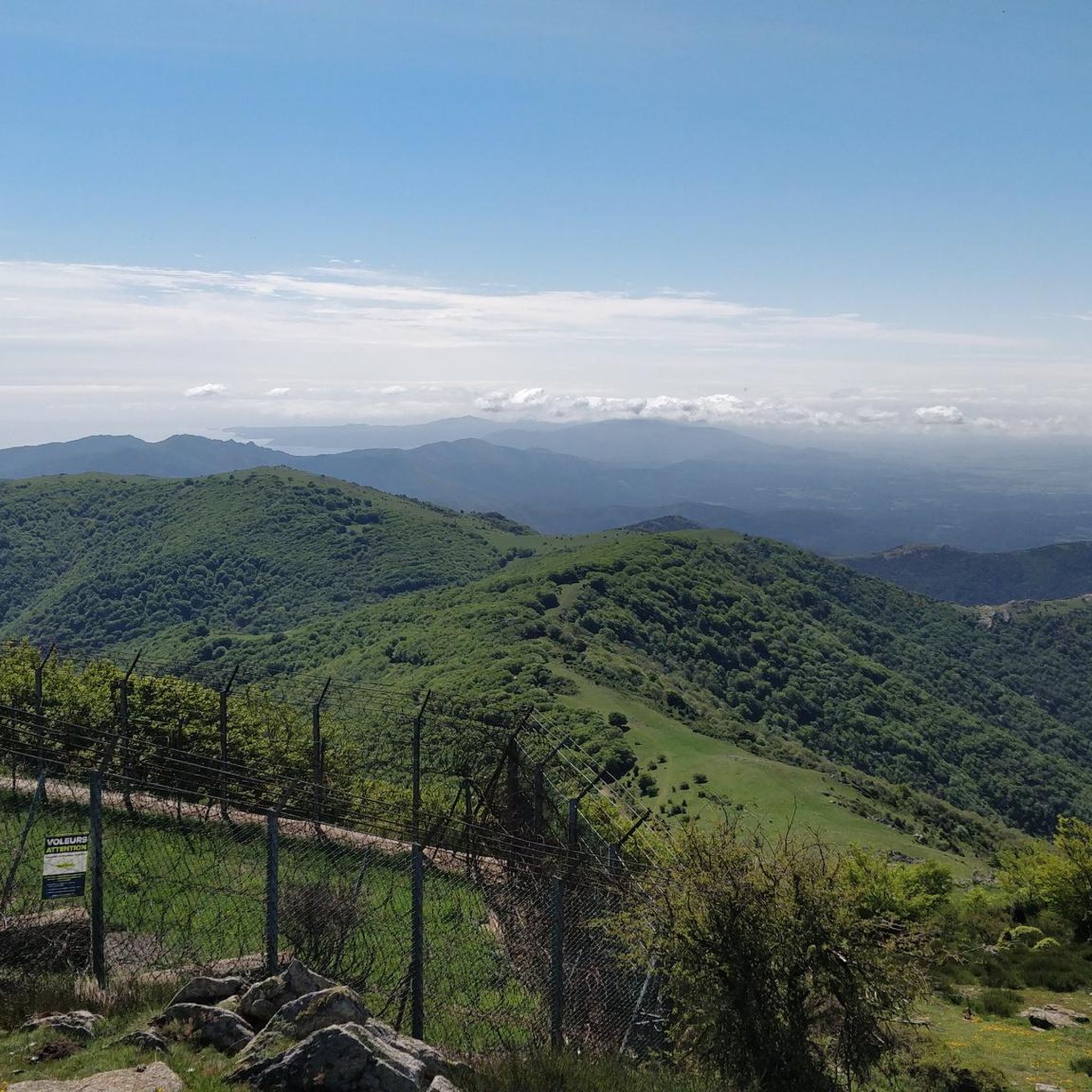
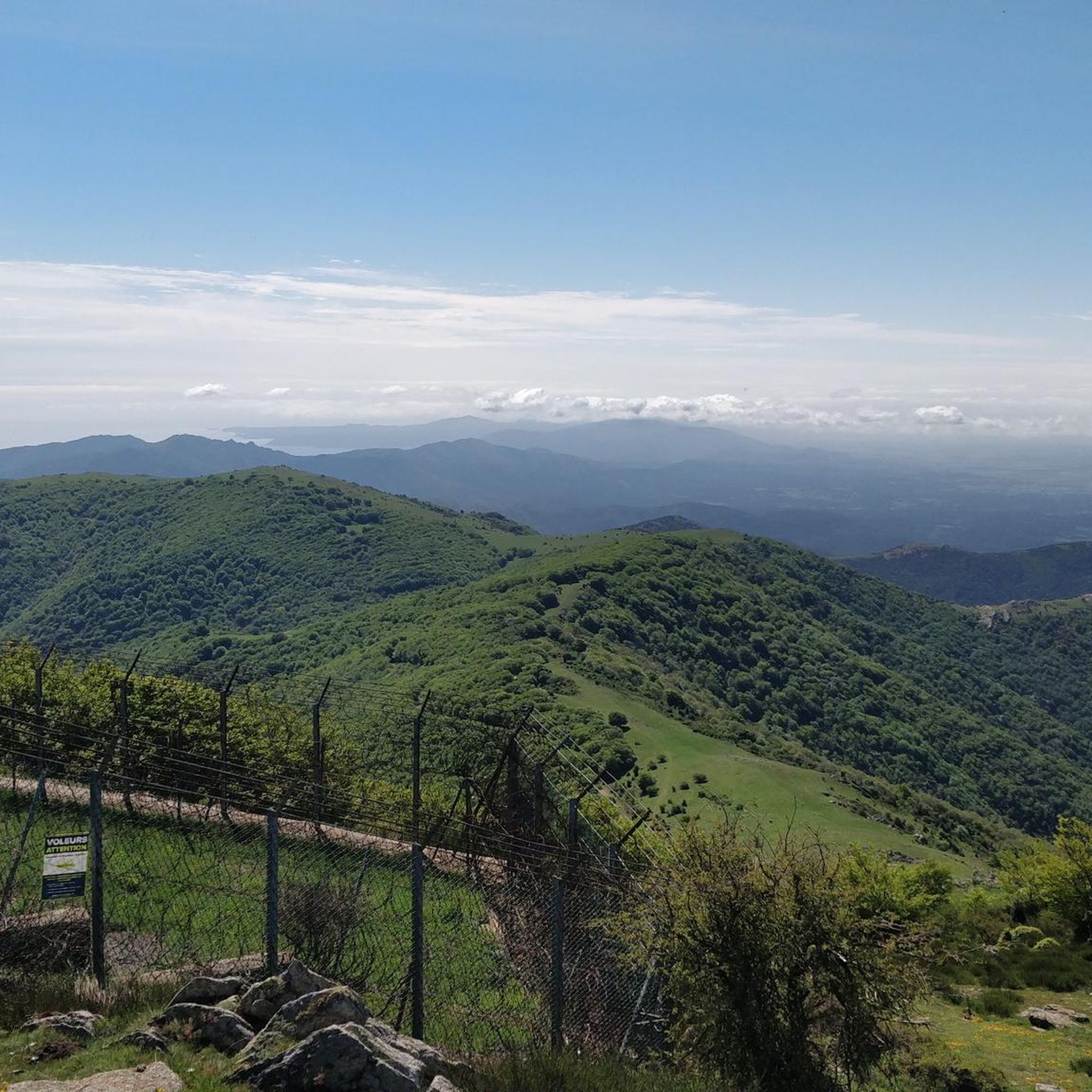
Jogging routes around Laroque-Des-Albères are set within the diverse landscapes of the Albères massif, where the Pyrenees meet the Mediterranean. The region features a variety of terrains, including lush mountains, forests of holm oaks and cork oaks, and rocky cliffs. Elevation gains vary significantly, from gentle paths to challenging climbs up prominent peaks like Puig Neulós. This area offers an extensive network of trails suitable for various fitness levels.
Best jogging routes around Laroque-Des-Albères
- The most popular jogging route is Happy Valley – Turtle Valley loop from Laroque-des-Albères, a 9.1 miles (14.7 km) difficult trail that takes about 1 hour 45 minutes to complete. This route offers a challenging run through varied terrain.
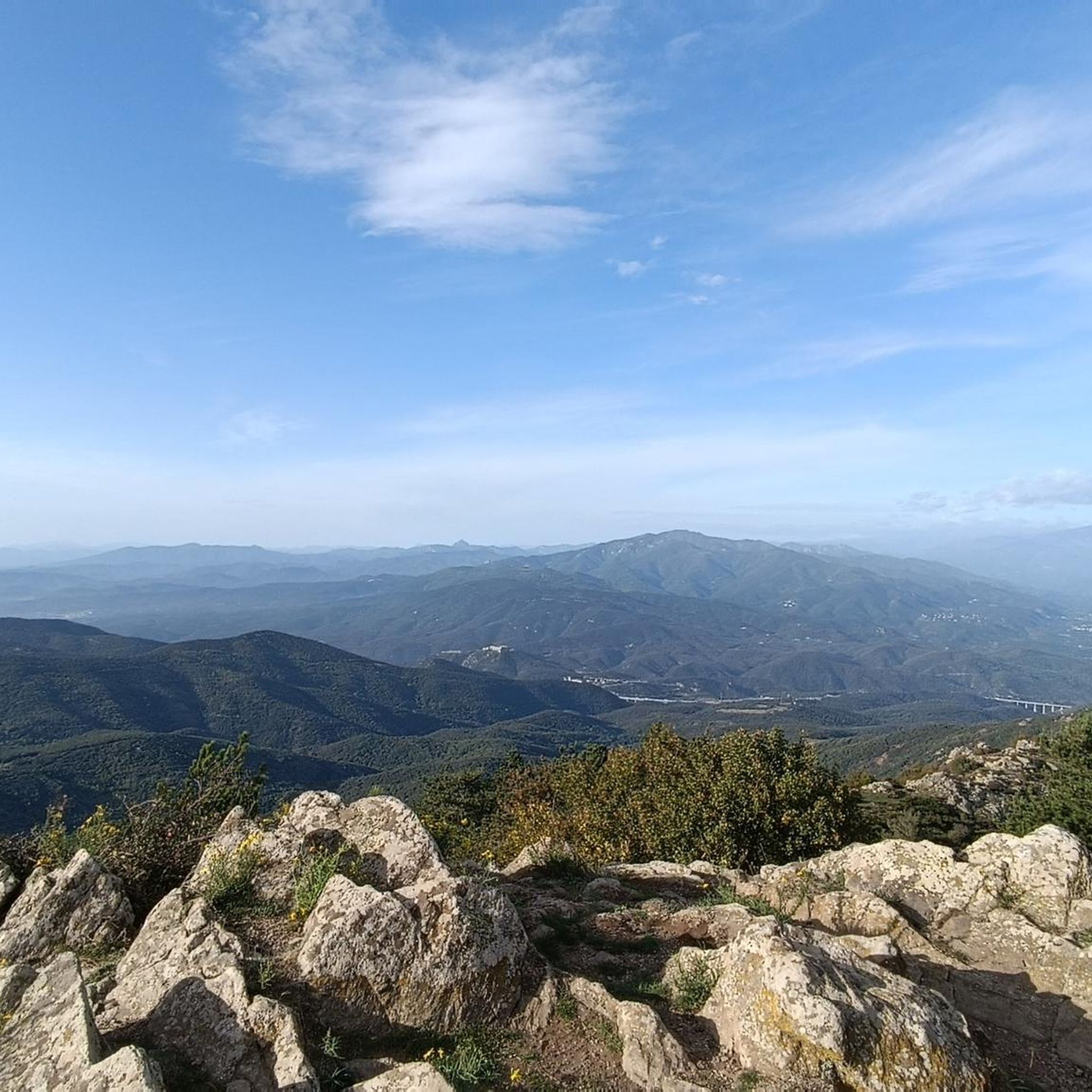
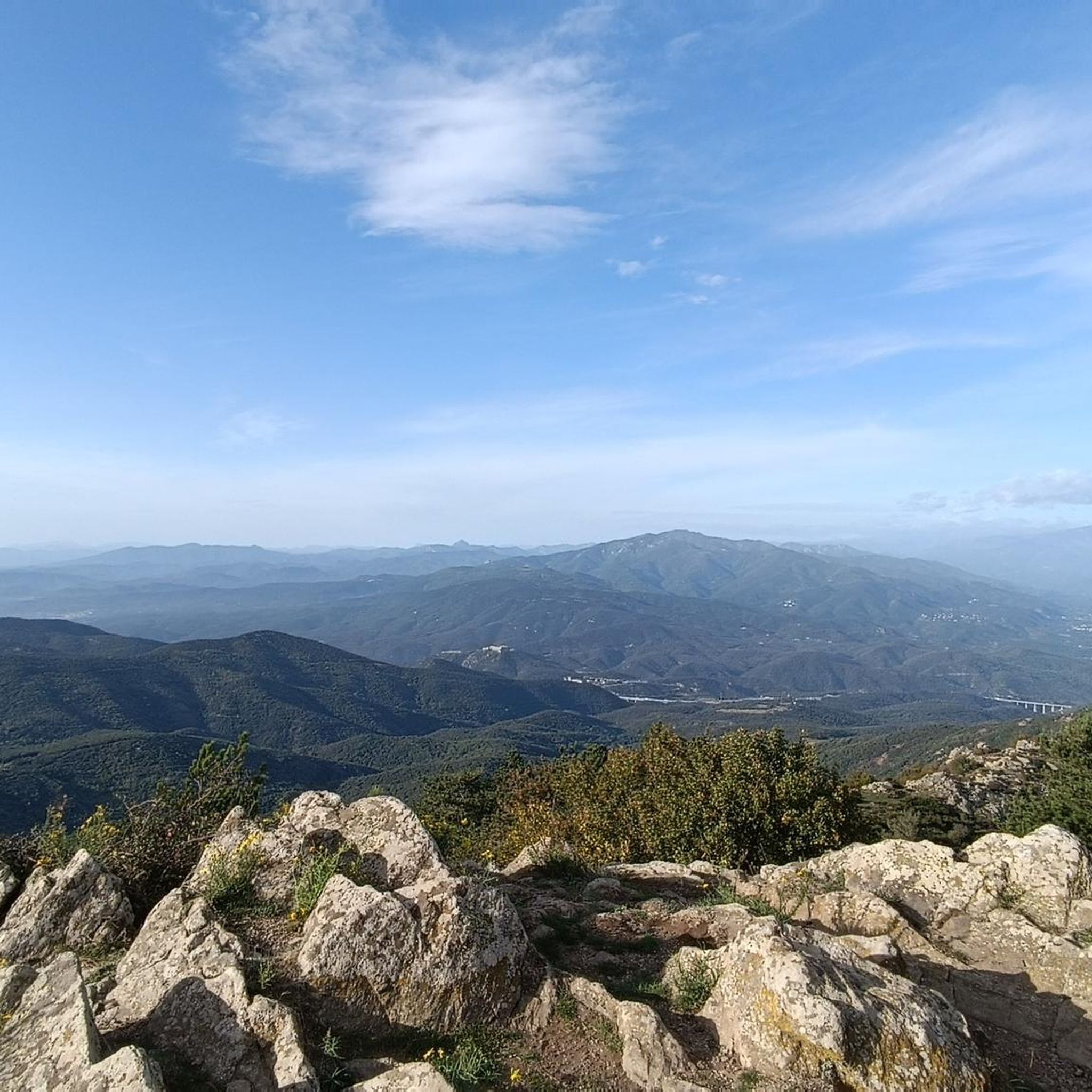
- Another top favourite among local runners is Puig Neulós (1,257 m) loop from Laroque-des-Albères, a difficult 9.4 miles (15.2 km) path. This route features significant elevation gains and panoramic views of the Mediterranean coast and the Roussillon plain.
- Local runners also love the Sant Fructuós de Rocavella loop from Laroque-des-Albères, a 5.5 miles (8.8 km) trail leading through the local hills and forests, often completed in about 1 hour 2 minutes.
- Jogging around Laroque-Des-Albères is defined by its extensive trail system, the Albères massif, and proximity to the Mediterranean Sea. The network offers options for different ability levels, from moderate paths to difficult mountain running.
- The routes in Laroque-Des-Albères are highly rated by the komoot community with an average score of 4.5 stars from more than 10 reviews. More than 700 runners have used komoot to explore Laroque-Des-Albères's varied terrain.
Last updated: June 24, 2026
5.0
(2)
224
runners
18.6km
02:59
1,140m
1,140m
Hard run. Very good fitness required. Sure-footedness, sturdy shoes and alpine experience required.
5.0
(3)
80
runners
14.7km
01:45
430m
430m
Hard run. Very good fitness required. Mostly paved surfaces. Suitable for all skill levels.

Sign up for free
12
runners
8.25km
01:18
470m
470m
Hard run. Very good fitness required. Mostly paved surfaces. Suitable for all skill levels.
43
runners
24.3km
03:58
1,410m
1,410m
Hard run. Very good fitness required. Sure-footedness, sturdy shoes and alpine experience required.
5.0
(1)
49
runners
19.6km
03:01
1,040m
1,040m
Hard run. Very good fitness required. Sure-footedness, sturdy shoes and alpine experience required.
Get access to more routes and recommendations from other explorers.
Sign up for free
Already have an account?
Our route recommendations are based on thousands of hikes, rides, and runs completed by other people on komoot.
Start today with a free account
Your next adventure awaits.
Login or Signup
Popular around Laroque-Des-Albères

The Crossing of the Pyrenees via the GR 10 — Eastern Pyrenees

Haute Route Pyrénéenne – Pyrenees Crossing
Hiking around Laroque-Des-Albères
MTB Trails around Laroque-Des-Albères
Cycling around Laroque-Des-Albères
Road Cycling Routes around Laroque-Des-Albères

Gravel biking around Laroque-Des-Albères

Mountain Hikes around Laroque-Des-Albères
Other adventures around Laroque-Des-Albères


Tips from the Community

Not recommended. Very bad roads for a road bike and especially very busy and partly dangerous.
0
0
It is possible to do it with a mountain bike or gravel bike starting either from Villeneuve or from Montesquieu or from Boulou
0
1

The short detour from the hiking trail to Puig Neulós is definitely worth it.
0
0

It is located at an altitude of approximately 936 metres in the Albera mountain range in the Pyrénées-Orientales, France. It is accessible by road via a narrow, paved route, which climbs from Le Boulou and Laroque-des-Albères. The road offers panoramic views as it ascends through the forest.
3
0
At the Col de l'Ullat, there is also a refuge that offers basic services for hikers. Surrounded by forests and with panoramic views, it is an ideal place to enjoy nature and explore the region.
3
1
The refuge is surrounded by lush nature, with beech and oak forests, and is an excellent place to observe the local fauna and flora. It is also a strategic point for those who wish to explore the biodiversity and natural heritage of the Albera mountain range.
1
0
The refuge can be reached on foot from various points in the region, and is accessible via several hiking trails that cross the forests and hills of the Albera. It is a starting or resting point for those exploring the Puig Neulós or hiking through the Eastern Pyrenees.
1
0
The shelter offers basic accommodation, with bunk beds and essential services for hikers. It is an ideal place to rest during long hiking routes. It also has a kitchen and a dining room where visitors can prepare their meals.
1
0
Frequently Asked Questions
How many running routes are available in Laroque-des-Albères?
There are over 25 dedicated running routes around Laroque-des-Albères, offering a wide range of options for different fitness levels and preferences. The komoot community has explored 29 routes in total.
What kind of terrain will I encounter on the jogging trails?
Jogging routes in Laroque-des-Albères offer incredibly diverse terrain. You'll find yourself running through lush green mountains, dense forests of holm oaks and cork oaks, and along rocky cliffs. The region is nestled where the Pyrenees meet the Mediterranean, providing a mix of mountain and coastal scenery.
Are there challenging running routes with significant elevation gain?
Yes, Laroque-des-Albères is ideal for runners seeking a challenge. Routes like the Puig Neulós (1,257 m) loop from Laroque-des-Albères feature significant elevation gains, offering demanding climbs and rewarding panoramic views of the Mediterranean coast and the Roussillon plain. Overall, 12 of the routes are rated as difficult.
Are there any easy or moderate running paths suitable for beginners or a relaxed jog?
Absolutely. While the region offers challenging trails, there are also easier options. For instance, the Sant Fructuós de Rocavella loop from Laroque-des-Albères is a moderate 5.5-mile path through local hills and forests. In total, there are 16 moderate and 1 easy route available, perfect for a less strenuous run.
What do other runners say about the trails in Laroque-des-Albères?
The running trails in Laroque-des-Albères are highly regarded by the komoot community, boasting an average rating of 4.5 stars from over 10 reviews. Runners often praise the extensive trail system, the stunning natural beauty of the Albères massif, and the variety of landscapes, from mountains to sea views.
Can I find circular running routes in the area?
Yes, many of the running routes around Laroque-des-Albères are circular, allowing you to start and finish at the same point. Examples include the popular Happy Valley – Turtle Valley loop from Laroque-des-Albères and the Pic d'Orella – Col de l'Ouillat loop from Laroque-des-Albères.
Are there any waterfalls or natural springs to discover along the running trails?
Yes, the region's diverse landscape includes natural springs like Font dels Simiots and Font de la Vernosa, which can be found along specific routes. Additionally, you can discover the Salt del Fitó, a beautiful waterfall, within the nearby gorges.
What historical or cultural landmarks can I see while running?
Many running routes in Laroque-des-Albères weave through areas rich in history. You might encounter ancient sites such as dolmens, including the well-preserved Valmy Castle, old water mills like the Pave Mill, and the ruins of Castell d'Ultera. The village itself, with its narrow streets, also offers a charming historical backdrop.
What is the best time of year to go jogging in Laroque-des-Albères?
The climate in Laroque-des-Albères is particularly favorable for outdoor activities, especially in autumn. During this season, comfortable daytime temperatures, often between 20-25°C, and sunny days create an 'Indian summer' atmosphere, making it ideal for jogging.
Are there any running routes that offer panoramic viewpoints?
Absolutely. The Albères massif provides numerous opportunities for breathtaking views. Routes ascending peaks like Puig Neulós offer stunning panoramic vistas of the Mediterranean coast, the Roussillon plain, and even the distant Canigou massif.
Are the running trails in Laroque-des-Albères suitable for families?
While some routes are challenging, there are also paths suitable for families looking for a more relaxed run or walk. Look for routes categorized as 'easy' or 'moderate' on komoot, which typically have less elevation gain and shorter distances, making them more accessible for all ages.
Is Laroque-des-Albères a dog-friendly destination for runners?
Many trails in the natural areas around Laroque-des-Albères are generally dog-friendly, allowing you to enjoy a run with your canine companion. However, it's always recommended to keep dogs on a leash, especially in protected areas or near livestock, and to check specific route details for any restrictions.
Most popular routes around Laroque-Des-Albères
Most popular attractions around Laroque-Des-Albères

Get inspired with the komoot mobile app


Explore more
Browse the best Running Trails & Routes in other regions.
