The best MTB trails around Prugnanes
4.6
(28)
92
riders
16
rides
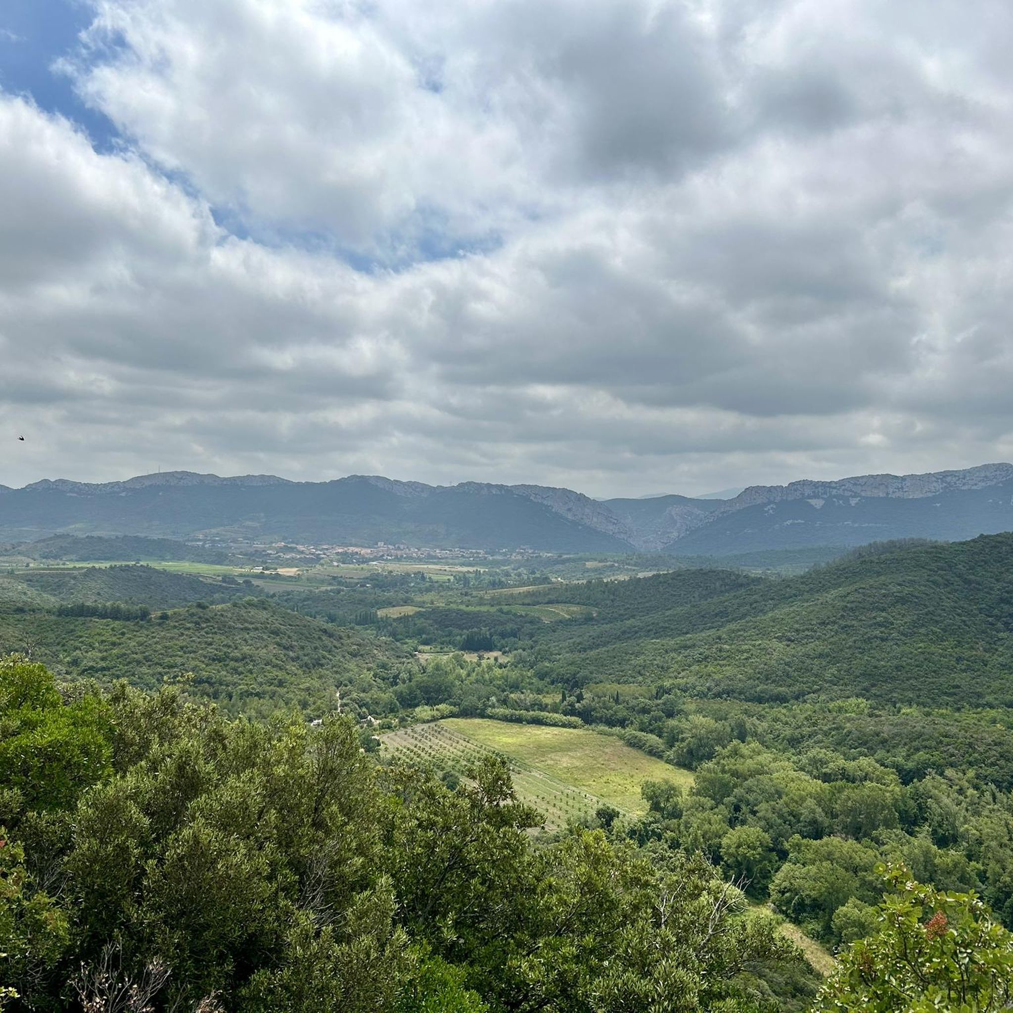
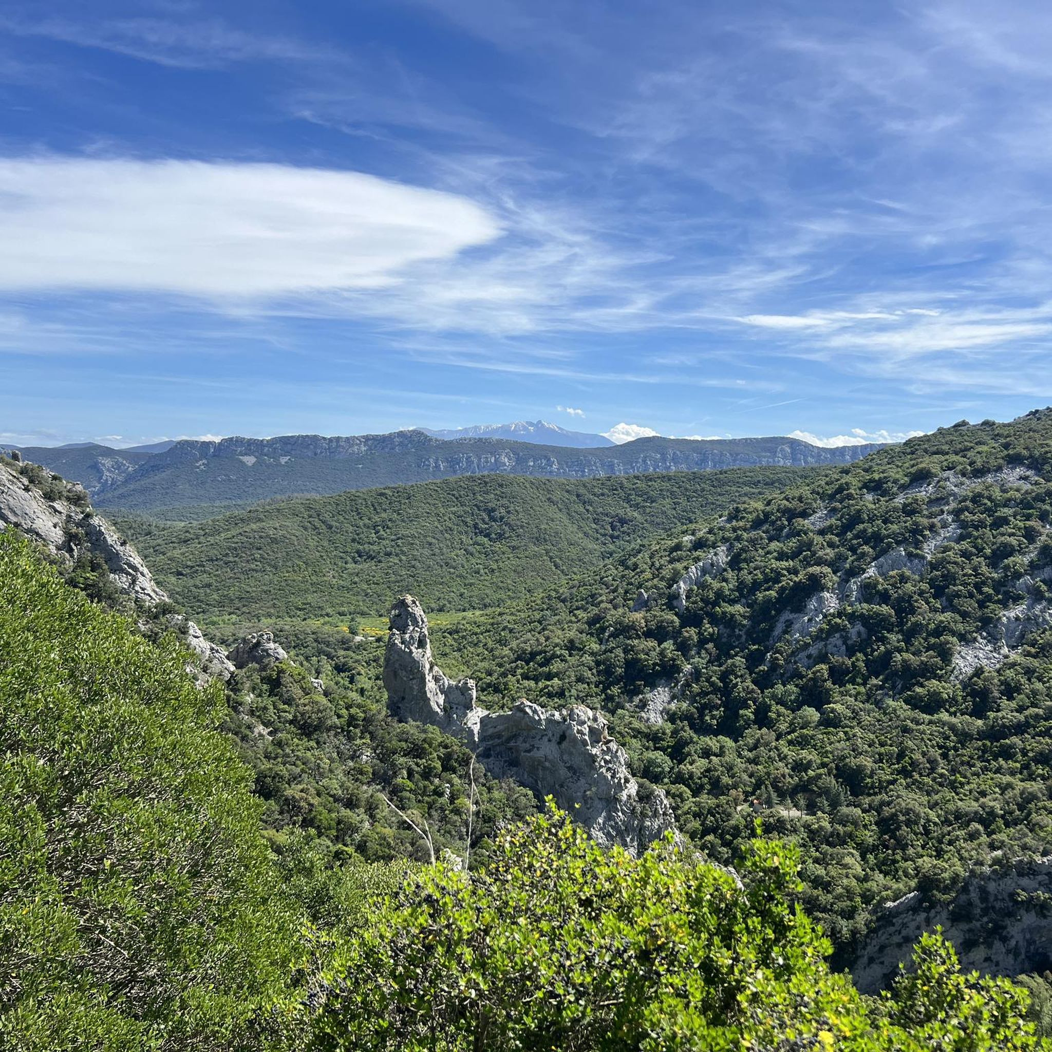
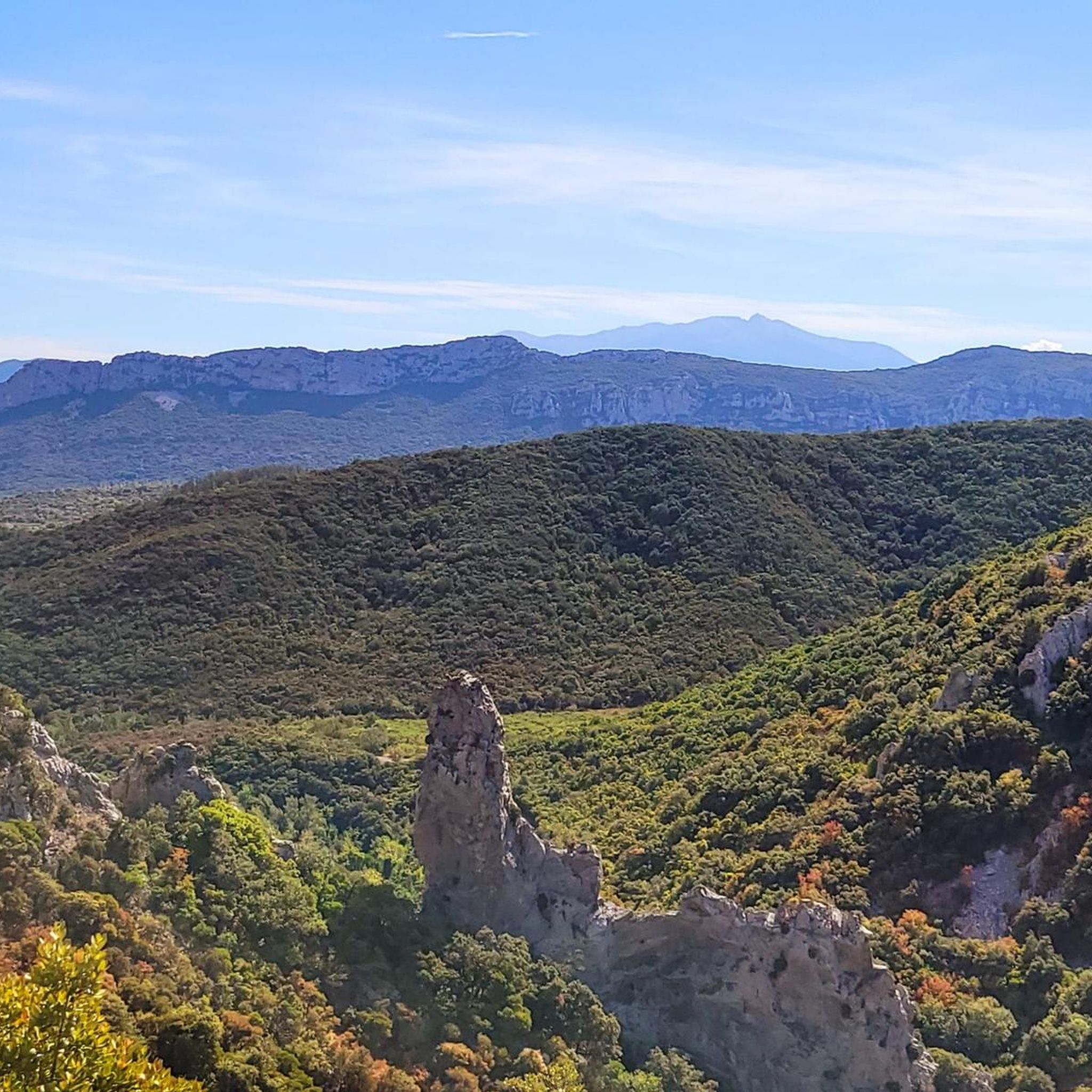
Mountain biking around Prugnanes offers diverse terrain within the Pyrénées-Orientales department of France. The region features a dramatic interplay of mountains, valleys, and plains, providing a variety of landscapes for riders. Expect routes that traverse forests, winding mountain paths, and areas near notable gorges and rock formations. This area is part of the wider French Pyrenees, known for its rugged and varied mountain biking opportunities.
Best mountain bike trails around Prugnanes
- The most popular mountain bike trail is Pons Viaduct, Caramany – L'Agly loop from Ansignan, an 18.8 miles (30.2 km) trail that takes 2 hours 38 minutes to complete, offering varied terrain through valleys and plains.
- Another top favourite among local mountain bikers is Tour du Z loop from Halte Train Rouge, a moderate 17.0 miles (27.4 km) path that explores the mountainous landscape, often completed in about 2 hours 49 minutes.
- Local mountain bikers also love the Galamus Entrance – Galamus Gorges loop from Halte Train Rouge, a 32.0 miles (51.5 km) trail leading through the impressive Galamus Gorges, often completed in about 3 hours 37 minutes.
- Mountain biking around Prugnanes is defined by its gorges, mountains, and diverse forest trails. The network offers options for different ability levels, from moderate cross-country routes to more difficult mountain paths.
- The routes in Prugnanes are highly rated by the komoot community with an average score of 4.5 stars from over 10 reviews. More than 80 mountain bikers have used komoot to explore Prugnanes's varied terrain.
Last updated: July 4, 2026
5.0
(4)
8
riders
27.9km
02:53
850m
850m
Moderate mountain bike ride. Good fitness required. Suitable for all skill levels.
4.8
(6)
9
riders
23.4km
02:15
530m
530m
Moderate mountain bike ride. Good fitness required. Suitable for all skill levels.

Sign up for free
5.0
(1)
3
riders
51.0km
03:44
920m
920m
Hard mountain bike ride. Very good fitness required. Suitable for all skill levels.
8
riders
35.9km
04:05
1,260m
1,260m
Hard mountain bike ride. Very good fitness required. Suitable for all skill levels.
4.0
(3)
4
riders
25.2km
02:35
760m
770m
Moderate mountain bike ride. Good fitness required. Advanced riding skills necessary.
Get access to more routes and recommendations from other explorers.
Sign up for free
Already have an account?
Our route recommendations are based on thousands of hikes, rides, and runs completed by other people on komoot.
Start today with a free account
Your next adventure awaits.
Login or Signup

Tips from the Community

Grandiose landscapes, it's truly magnificent, breathtaking on this road carved into the rock, which can even be dizzying!
1
0

Especially the chapel in the Hermitage, a cave, is very impressive.
19
0
From the viewpoint you can see halfway the gorges, against the rock face, the hermitage of Saint-Antoine-de-Galamus. The hermitage is easily accessible on foot from various parking areas.
18
0
The gateway to the Gorges and the beginning of the gorge
20
0
Gorges de Galamus is a beautiful gorge that was carved out by the river Agly. Thanks to the force of the water, several natural caves have also been carved out in this gorge. Since the seventh century AD, these caves have been used as a refuge for hermits,
0
0

Church is currently closed as work is being done on the porch. Walks around this area are still great but sad not to be able to visit the Church. No online info about this either.
1
0

Beautifully restored church with a magnificent altar
2
0

Fantastic landscape out of this world 😜🕶️🤏
0
0
Frequently Asked Questions
How many mountain bike trails are there around Prugnanes?
There are over 10 mountain bike trails around Prugnanes listed on komoot. These routes offer a variety of experiences, from moderate to difficult, exploring the diverse terrain of the Pyrénées-Orientales department.
What is the best time of year to go mountain biking in Prugnanes?
The Mediterranean climate of the Pyrénées-Orientales allows for mountain biking throughout the year, especially in the plains. For mountain paths, spring and autumn generally offer the most pleasant temperatures, while summer can be hot but suitable for higher elevations.
What kind of terrain can I expect on the mountain bike trails in Prugnanes?
You can expect a diverse range of terrain, from winding mountain paths and technical enduro trails to cross-country routes through forests and valleys. The region features a dramatic interplay of mountains, valleys, and plains, with routes near notable gorges and rock formations.
Are there any circular mountain bike routes in Prugnanes?
Yes, many routes around Prugnanes are circular. For example, you can try the Pons Viaduct, Caramany – L'Agly loop from Ansignan, or the Tour du Z loop from Halte Train Rouge, which explores the mountainous landscape.
What are the difficulty levels of mountain bike trails in Prugnanes?
The trails around Prugnanes cater to various skill levels. There are 8 moderate routes and 5 difficult routes available. Routes like the Ancient Beech Tree loop from Le Vivier are moderate, while the Galamus Entrance – Galamus Gorges loop from Halte Train Rouge is considered difficult.
What natural features can I see while mountain biking near Prugnanes?
The region is rich in natural beauty. You can encounter impressive gorges such as Gorges de Galamus, the Gorges of Saint-Jaume, and the Gorges of the Agly. The area also features unique rock formations like the Orgues d'Ille-sur-Tet, and offers views of majestic peaks like Pic du Canigou.
Are there any historical sites or landmarks to explore near the mountain bike trails?
Yes, the area is home to several historical sites, including Cathar castles. You can find highlights such as Peyrepertuse Castle and Ascent to Puilaurens Castle, which offer cultural excursions alongside your rides.
What do other mountain bikers enjoy most about mountain biking in Prugnanes?
The mountain bike routes in Prugnanes are highly rated by the komoot community, with an average score of 4.5 stars from over 10 reviews. Riders often praise the diverse terrain, the stunning natural landscapes, and the variety of trails suitable for different abilities.
Are there family-friendly mountain bike trails in Prugnanes?
While specific 'easy' trails are not highlighted, the broader Pyrénées-Orientales network offers routes suitable for all skill levels, including introductory family outings. It's advisable to check the difficulty ratings of individual routes to find those most suitable for families.
Can I bring my dog on the mountain bike trails in Prugnanes?
The region is part of or adjacent to the Catalan Pyrenees Regional Natural Park. While many natural areas in France are dog-friendly, it's always best to check specific park regulations or local signage regarding dogs, especially in protected areas, to ensure they are permitted and to understand any leash requirements.
Is there public transport access to the mountain bike trails around Prugnanes?
Prugnanes is a rural area, and public transport options directly to trailheads might be limited. It's generally recommended to travel by car to access the starting points of mountain bike routes. Some routes, like the Tour du Z loop, start from locations like Halte Train Rouge, which might indicate some local transport connection, but this would need to be verified locally.
Where can I find parking for mountain biking in Prugnanes?
Parking availability will vary depending on the specific trailhead. Many routes start from villages or designated parking areas. It's advisable to check the starting point of your chosen route on komoot for details on nearby parking facilities.
Most popular attractions around Prugnanes

Get inspired with the komoot mobile app


Explore more
Browse the best MTB trails in other regions.
