The best running trails around Sainte-Colombe-De-La-Commanderie
4.5
(90)
2,987
runners
217
runs
Jogging routes around Sainte-Colombe-De-La-Commanderie are set within the Pyrénées-Orientales department of the Occitanie region, offering diverse terrain for runners. The area is characterized by the Aspres region's Mediterranean flora, stony soils, and extensive vineyards. Elevation changes range from 127 meters to 328 meters, providing varied inclines and declines for different running experiences. This geographical setting ensures a mix of flat paths and more challenging routes.
Best jogging routes around Sainte-Colombe-De-La-Commanderie
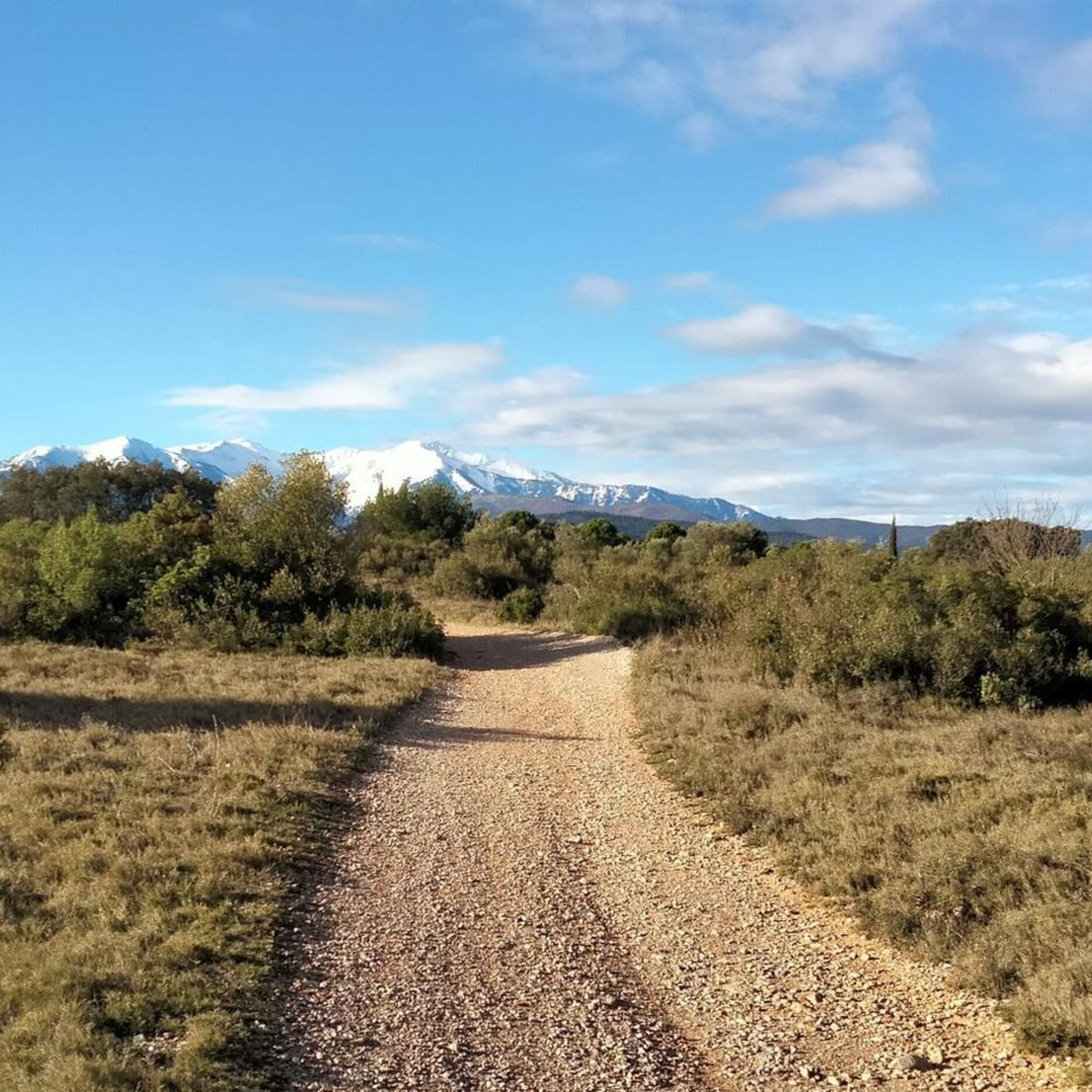
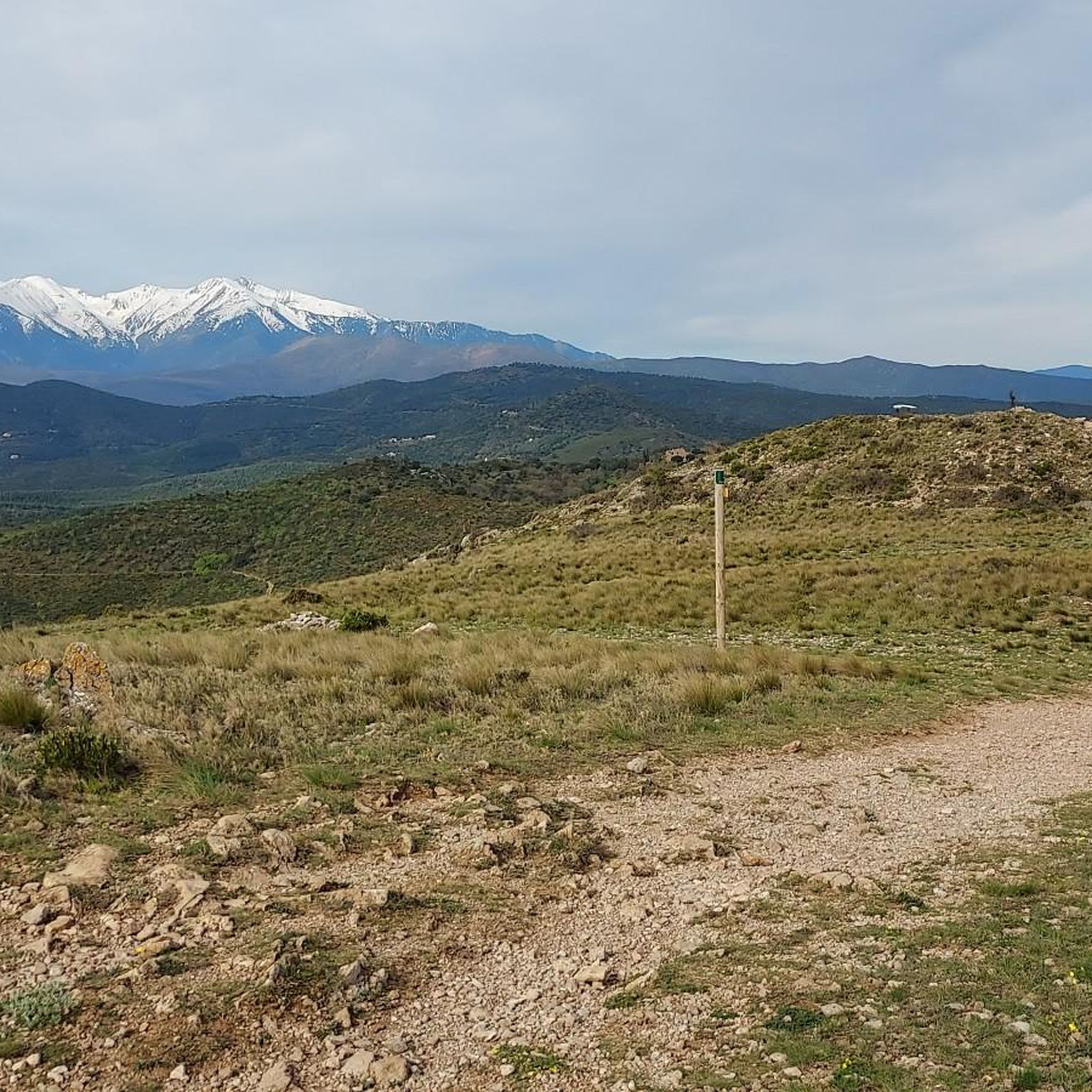
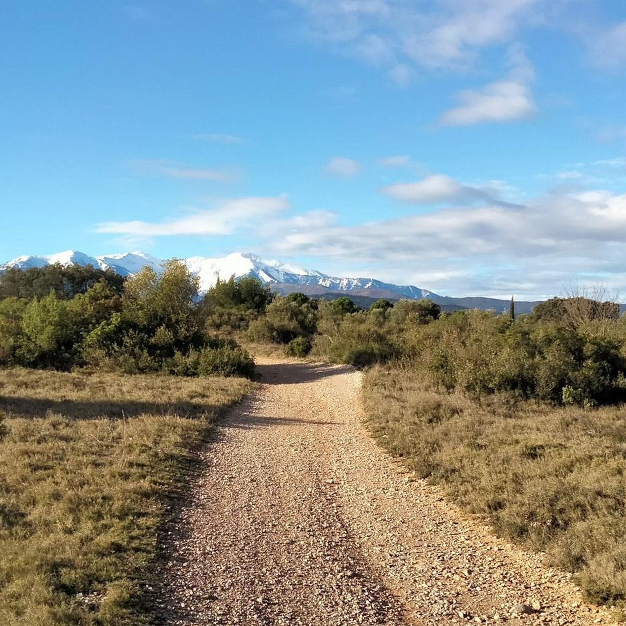
- The most popular jogging route is Roc de Mallorca loop from Thuir, a difficult 7.5 miles (12.0 km) trail that takes 1 hour 28 minutes to complete. This route offers panoramic views encompassing the Aspres, Thuir, and the majestic Canigou mountain.
- Another top favourite among local runners is Sant Martí de la Roca loop from Thuir, a difficult 14.1 miles (22.8 km) path. This route features significant elevation gains, traversing varied terrain typical of the region.
- Local runners also love the Thuir – View of the Canigou loop from Thuir, a 9.4 miles (15.1 km) trail leading through agricultural landscapes and offering distant views of the Canigou, often completed in about 1 hour 34 minutes.
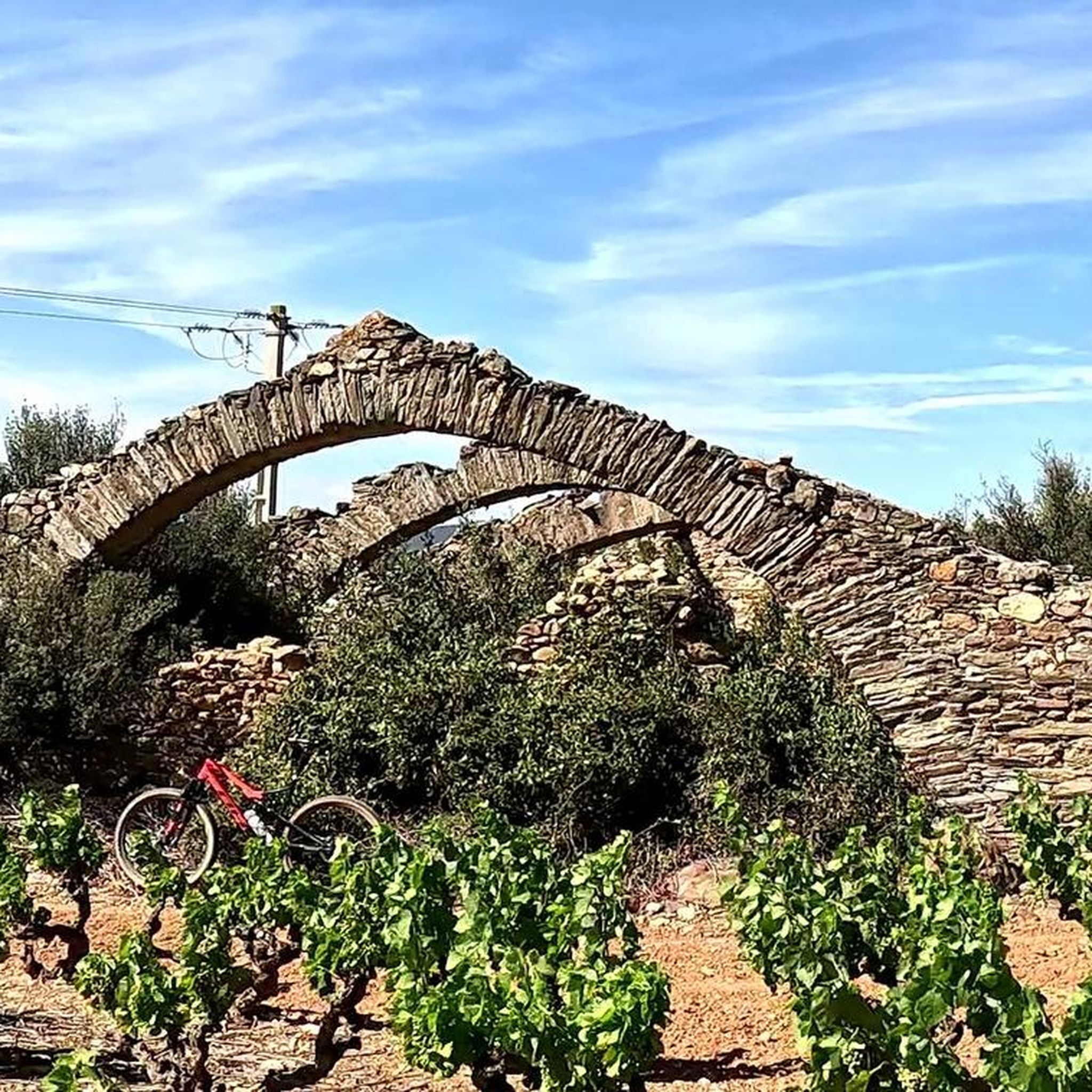
- Jogging around Sainte-Colombe-De-La-Commanderie is defined by Mediterranean garrigue, picturesque vineyards, and routes with significant elevation changes. The network offers options for different ability levels, from relatively flat paths to more demanding excursions.
- The routes in Sainte-Colombe-De-La-Commanderie are highly rated by the komoot community with an average score of 4.4 stars from over 90 reviews. More than 3000 runners have used komoot to explore Sainte-Colombe-De-La-Commanderie's varied terrain.
Last updated: June 29, 2026
4.4
(5)
168
runners
13.0km
01:36
420m
420m
Hard run. Very good fitness required. Mostly paved surfaces. Suitable for all skill levels.
59
runners
15.2km
01:34
70m
70m
Hard run. Very good fitness required. Mostly paved surfaces. Suitable for all skill levels.

Sign up for free
5.0
(1)
55
runners
Hard run. Very good fitness required. Mostly paved surfaces. Suitable for all skill levels.
3.0
(2)
48
runners
6.21km
00:39
20m
20m
Moderate run. Good fitness required. Mostly paved surfaces. Suitable for all skill levels.
29
runners
16.9km
01:55
350m
350m
Hard run. Very good fitness required. Mostly paved surfaces. Suitable for all skill levels.
Get access to more routes and recommendations from other explorers.
Sign up for free
Already have an account?
Our route recommendations are based on thousands of hikes, rides, and runs completed by other people on komoot.
Start today with a free account
Your next adventure awaits.
Login or Signup
Popular around Sainte-Colombe-De-La-Commanderie

Tips from the Community

Great village! I enjoyed the visit and, of course, the restaurant.
1
0


The Roc de Majorque (444 m high) preserves the remains of a large Roman square tower. A magnificent 360° panorama of the Corbières, the Roussillon plain, the Pyrenees, and their foothills is available. An orientation table is available there.
0
0


access rock Majorca difficult rocky..road better in reverse
1
0

The view of Castelnou Castle, perched on a hill in the heart of the Aspres, is breathtaking. Dominating the medieval village below, this 10th century castle stands proudly in a landscape of vineyards, forests and mountains. From the surrounding trails, the panorama offers a grandiose spectacle with the Pyrenees as a backdrop.
2
1

Roc de Mallorca is also interesting from a geological point of view, as it is a prominent rock formation in the landscape, and its elevated location makes it a reference point for hikers and explorers of the region.
1
0
Frequently Asked Questions
How many running routes are available around Sainte-Colombe-De-La-Commanderie?
There are nearly 200 dedicated running routes around Sainte-Colombe-De-La-Commanderie, offering a wide variety of options for all fitness levels. The region is known for its extensive trail network, with many more trails available for exploration beyond the main jogging routes.
What kind of terrain can I expect on the jogging trails in this region?
The jogging trails in Sainte-Colombe-De-La-Commanderie offer diverse terrain, from relatively flat paths through picturesque vineyards to more challenging routes with significant elevation changes. You'll experience the Mediterranean garrigue, stony soils, and varied inclines and declines, providing a dynamic running experience.
Are there any easy or beginner-friendly jogging routes?
Yes, while many routes offer elevation changes, there are 12 easy routes available, perfect for beginners or those looking for a more relaxed run. These paths often traverse the charming agricultural landscapes and vineyards, providing a gentle introduction to the region's beauty.
Can I find routes with panoramic views?
Absolutely! Many routes offer breathtaking vistas. For example, the Roc de Mallorca loop from Thuir provides superb 360-degree panoramas encompassing the Aspres, Thuir, the Roussillon plain, the Corbières massif, the Albères, and the majestic Canigou mountain. You can also find distant views of the Canigou on routes like the Thuir – View of the Canigou loop from Thuir.
What are some interesting landmarks or attractions I might see while running?
The region is rich in natural and historical points of interest. Along your runs, you might encounter the charming village of Castelnou, the religious site of Sant Martí de la Roca, or the natural summit of Roc de Mallorca. The village of Sainte-Colombe-de-la-Commanderie itself, with its historical connection as a former Templar commandery, is also a pleasant starting point.
Are there any circular running routes?
Yes, many of the running routes around Sainte-Colombe-De-La-Commanderie are circular, allowing you to start and finish at the same point. Examples include the Roc de Mallorca loop from Thuir and the Sant Martí de la Roca loop from Thuir, which are popular choices among local runners.
What do other runners enjoy most about the trails in Sainte-Colombe-De-La-Commanderie?
The running trails in Sainte-Colombe-De-La-Commanderie are highly rated by the komoot community, with an average score of 4.4 stars from over 90 reviews. Runners often praise the diverse landscapes, the stunning panoramic views, and the well-maintained, clearly marked paths that make navigation easy.
What is the best season for jogging in Sainte-Colombe-De-La-Commanderie?
The Mediterranean climate of the Pyrénées-Orientales makes jogging enjoyable for much of the year. Spring and autumn offer pleasant temperatures and vibrant scenery. Even winter can be suitable, with crisp air and often clear views, though it's always wise to check local weather conditions.
Are the running trails suitable for families?
While some routes feature significant elevation gains, there are easier paths that can be suitable for families. Look for routes described as 'easy' or with minimal elevation changes. The charming village surroundings and picturesque vineyards offer a pleasant environment for a family outing.
Are dogs allowed on the jogging trails?
Generally, dogs are welcome on many outdoor trails in France, especially in rural areas like Sainte-Colombe-De-La-Commanderie. However, it's always recommended to keep your dog on a leash, especially in protected natural areas (ZNIEFF) or near agricultural land, and to respect local signage and regulations.
What is the typical duration for a running route in this area?
Running route durations vary significantly based on distance and difficulty. For instance, the Roc de Mallorca loop from Thuir, a 12.0 km trail, typically takes about 1 hour 28 minutes. Longer, more challenging routes like the Entrance gate to Castelnou – Castelnou loop from Thuir (17.6 km) can take over 2 hours.
Are there any challenging routes for experienced runners?
Yes, experienced runners will find plenty of challenging options. The region's topography, with maximum altitudes of 328 meters and significant elevation gains, provides demanding workouts. Routes like the Sant Martí de la Roca loop from Thuir, at 22.8 km with substantial uphill gradients, are perfect for those seeking a rigorous run.
Most popular routes around Sainte-Colombe-De-La-Commanderie
Most popular attractions around Sainte-Colombe-De-La-Commanderie

Get inspired with the komoot mobile app


Explore more
Browse the best Running Trails & Routes in other regions.
