The best MTB trails around Belleydoux
4.2
(96)
965
riders
93
rides
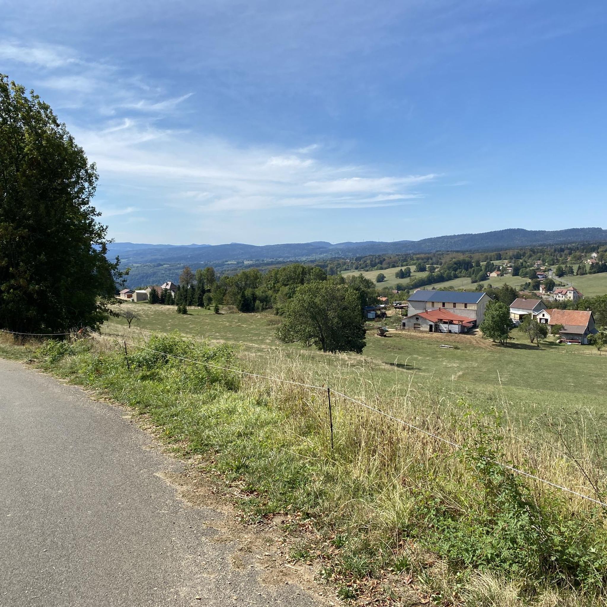
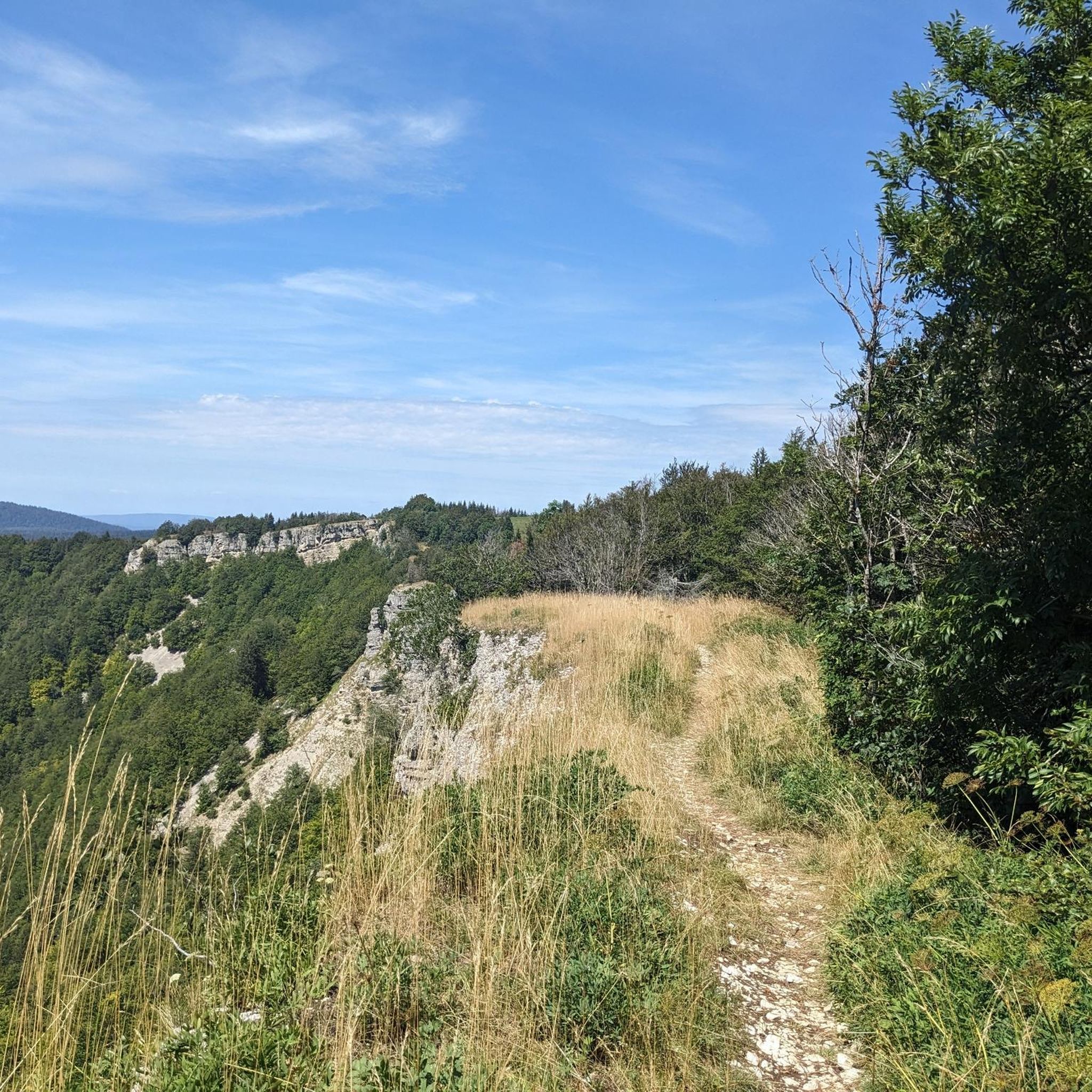
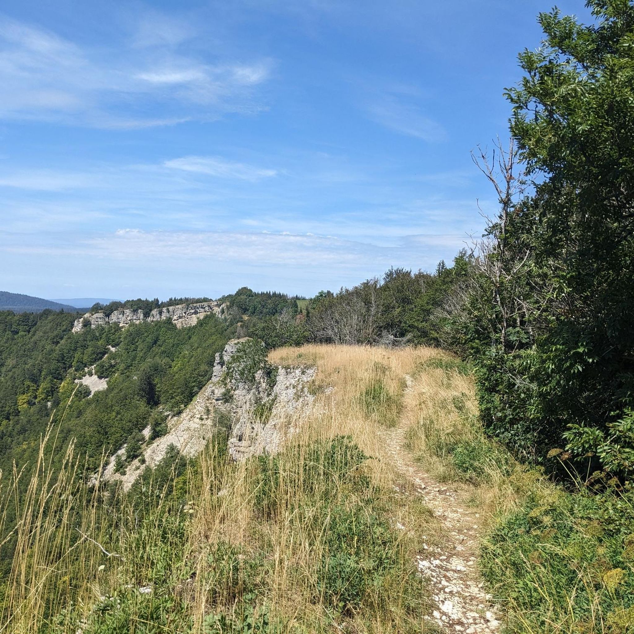
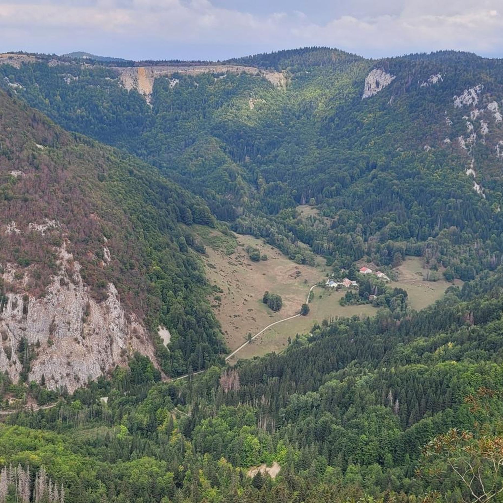
Mountain biking around Belleydoux, situated within the Haut-Jura Natural Regional Park, offers a diverse range of trails. The area is characterized by forests, pastures, and a mid-mountain environment, with terrain varying from undergrowth singles to challenging descents and climbs. This region provides access to an extensive network of mountain bike trails, featuring diverse landscapes typical of the Jura mountains.
Best mountain bike trails around Belleydoux
- The most popular mountain bike trail is La borne au lion – La Roche Fauconnière loop from Giron, a difficult 24.0 miles (38.6 km) trail that takes about 3 hours 33 minutes to complete, featuring significant elevation changes.
- Another top favourite among local mountain bikers is Crêt de Chalam – la borne au lion loop from Giron, a difficult 32.1 miles (51.6 km) path. This route includes the Crêt de Chalam, offering expansive views across the landscape.
- Local mountain bikers also love the La Pesse – View of Les Roches d'Orvaz loop from Les Roches d'Orvaz, an easy 10.5 miles (16.9 km) trail leading through varied terrain, often completed in about 1 hour 13 minutes.
- Mountain biking around Belleydoux is defined by dense forests, grazing valleys, and viewpoints like Crêt de Chalam and Roches d'Orvaz. The network offers options for different ability levels, from easy loops to difficult, long-distance routes.
- The routes in Belleydoux are highly rated by the komoot community with an average score of 4.3 stars from over 90 reviews. More than 900 mountain bikers have used komoot to explore Belleydoux's varied terrain.
Last updated: May 15, 2026
94
riders
92.7km
09:02
2,480m
2,480m
Hard mountain bike ride. Very good fitness required. Advanced riding skills necessary. Some portions of the route may require you to push your bike.
4.3
(3)
20
riders
38.1km
03:30
860m
860m
Hard mountain bike ride. Good fitness required. Advanced riding skills necessary. Some portions of the route may require you to push your bike.

Sign up for free
5
riders
16.9km
01:14
240m
240m
Easy mountain bike ride. Great for any fitness level. Suitable for all skill levels.
3.0
(1)
7
riders
50.6km
05:42
1,700m
1,700m
Hard mountain bike ride. Very good fitness required. Advanced riding skills necessary. Some portions of the route may require you to push your bike.
8
riders
46.7km
05:03
1,250m
1,250m
Hard mountain bike ride. Very good fitness required. Advanced riding skills necessary. Some portions of the route may require you to push your bike.
Get access to more routes and recommendations from other explorers.
Sign up for free
Already have an account?
Our route recommendations are based on thousands of hikes, rides, and runs completed by other people on komoot.
Start today with a free account
Your next adventure awaits.
Login or Signup

Tips from the Community

A chainsaw would be needed because there are many trees across the path.
0
0


suffer for beautiful landscapes and to feel good in one's body
0
0

This boundary stone marked the border between Franche-Comté (north) and French Bugey (south). To the east, the Pays de Gex was separated by the Sardinian Corridor, in which the Spanish Way was located.
0
0


There is a monument there commemorating the local resistance fighters, who used this meadow to parachute in equipment for the British secret services during the Second World War.
0
0

Be careful with certain passages
0
0
Frequently Asked Questions
How many mountain bike trails are available around Belleydoux?
Belleydoux, situated within the Haut-Jura Natural Regional Park, offers a wide selection of mountain bike trails. There are over 90 routes available, catering to various skill levels. The broader Ain department boasts approximately 1,500 km of marked trails, including around 100 routes and 10 enduro tracks.
What kind of terrain can I expect on mountain bike trails in Belleydoux?
The terrain around Belleydoux is diverse, typical of a mid-mountain environment. You'll find everything from undergrowth singles and forest tracks to challenging descents and climbs. Routes often traverse dense forests and 'combes pâturées' (grazing valleys), with altitudes ranging from 300 to 1,500 meters.
Are there any easy mountain bike trails suitable for beginners or families?
Yes, Belleydoux offers easy trails. For instance, the La Pesse – View of Les Roches d'Orvaz loop from Les Roches d'Orvaz is an easy 16.9 km route that can be completed in about 1 hour 13 minutes, leading through varied terrain.
What are some challenging mountain bike routes for experienced riders?
Experienced riders will find several difficult routes. The Crêt de Chalam – la borne au lion loop from Giron is a demanding 51.6 km path with significant elevation changes, taking approximately 5 hours 47 minutes. Another challenging option is the La borne au lion – La Roche Fauconnière loop from Giron, a 38.6 km trail with substantial climbs.
Are there any circular mountain bike routes in the Belleydoux area?
Yes, many routes in the Belleydoux area are circular. Examples include the La Roche Fauconnière – la borne au lion loop from Giron, a difficult 33.6 km route, and the moderate La Roche Fauconnière – Fauconnière Viewpoint loop from Giron, which is 16.9 km long.
What natural attractions or viewpoints can I see along the mountain bike trails?
The trails often lead to stunning natural features and viewpoints. You can find routes that offer views of the Crêt de Chalam, Plateau des Brûlats, and the Orvaz Rock. The region is also home to the beautiful Lake Genin and the Moulin de Vulvoz Waterfall.
What do other mountain bikers say about the trails in Belleydoux?
The mountain bike trails around Belleydoux are highly regarded by the komoot community, with an average rating of 4.3 stars from over 90 reviews. Riders often praise the varied terrain, dense forests, and the scenic viewpoints like Crêt de Chalam and Roches d'Orvaz.
Is there public transport available to access mountain biking trailheads in Belleydoux?
While Belleydoux is nestled in a natural park, public transport options directly to specific trailheads might be limited. It's advisable to check local bus schedules or consider driving to access the starting points of the routes.
Are there specific parking areas for mountain bikers in Belleydoux?
Parking is generally available in and around Belleydoux, particularly in villages like Giron which serve as common starting points for many routes. Look for designated parking areas near trailheads or in village centers.
What is the best time of year to go mountain biking in Belleydoux?
The best time for mountain biking in Belleydoux is typically from spring through autumn. During these seasons, the weather is generally favorable, and the trails are clear of snow, offering optimal conditions to enjoy the diverse landscapes of the Haut-Jura Natural Regional Park.
Are there any local attractions or places to explore near the mountain bike trails?
Beyond the trails, you can explore the local culture. The Fromagerie du Haut-Jura is a notable attraction where you can learn about regional cheese production, including Comté and Bleu de Gex Haut-Jura AOP. The village itself offers a charming mid-mountain environment.
Can I find information on mountain biking in the wider Ain department?
Yes, the Ain department, where Belleydoux is located, is a significant mountain biking destination. You can find more information about the extensive network of trails, including the "Espace VTT-FFC Ain Forestière," on the Ain Tourism website: ain-tourisme.com.
Most popular attractions around Belleydoux

Get inspired with the komoot mobile app


Explore more
Browse the best MTB trails in other regions.
