The best road cycling routes around Charix
4.3
(174)
3,933
riders
203
rides
Road cycling routes around Charix are situated in the Haut-Bugey area of the Jura mountains, France. The region features an average elevation of 780 meters, with terrain ranging from 580 to 1,046 meters. Cyclists encounter varied landscapes including the eastern foot of Mont Burdet and the deeply incised Cluse de Nantua. The area is also near the source of the stream flowing into Lac de Sylans, offering routes with views of natural water features.
Best road cycling routes around Charix
…Last updated: August 21, 2026
4.1
(7)
66
riders
53.6km
02:42
860m
860m
Moderate road ride. Good fitness required. Mostly well-paved surfaces and easy to ride.
5.0
(5)
33
riders
52.4km
02:37
840m
840m
Moderate road ride. Good fitness required. Mostly well-paved surfaces and easy to ride.

Sign up for free
5.0
(1)
24
riders
52.5km
03:01
1,140m
1,140m
Hard road ride. Very good fitness required. Mostly well-paved surfaces and easy to ride.
3.0
(1)
25
riders
36.0km
01:57
680m
680m
Moderate road ride. Good fitness required. Mostly well-paved surfaces and easy to ride.
3.0
(1)
11
riders
89.8km
04:57
1,840m
1,840m
Hard road ride. Very good fitness required. Mostly well-paved surfaces and easy to ride.
Get access to more routes and recommendations from other explorers.
Sign up for free
Already have an account?
Our route recommendations are based on thousands of hikes, rides, and runs completed by other people on komoot.
Start today with a free account
Your next adventure awaits.
Login or Signup

Other adventures around Charix

Tips from the Community

The Lac de Nantua is a superb body of water of 141 hectares. In the heart of the Jura, it offers an ideal setting for practicing a multitude of sports. It is even possible to swim in its waters.
2
0
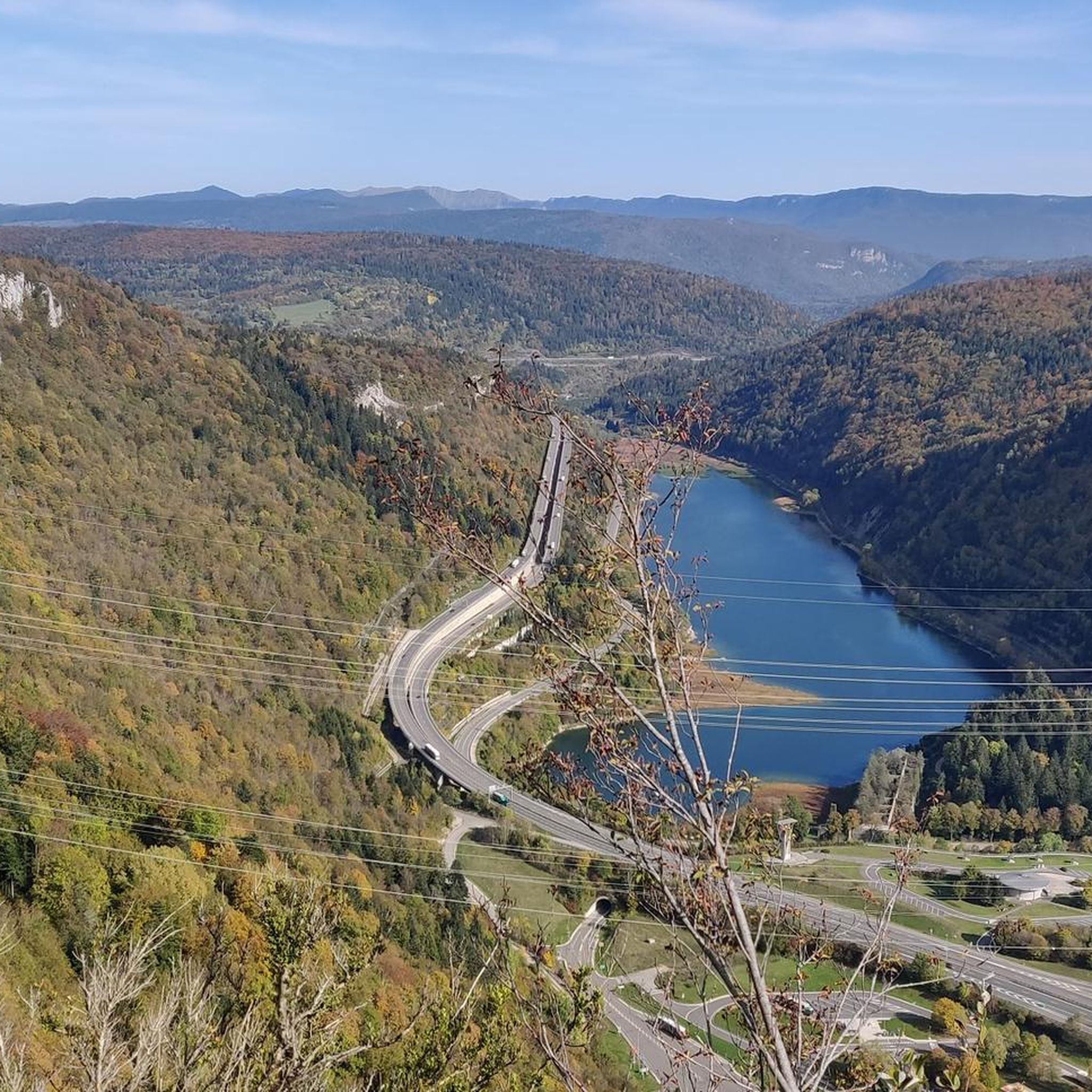
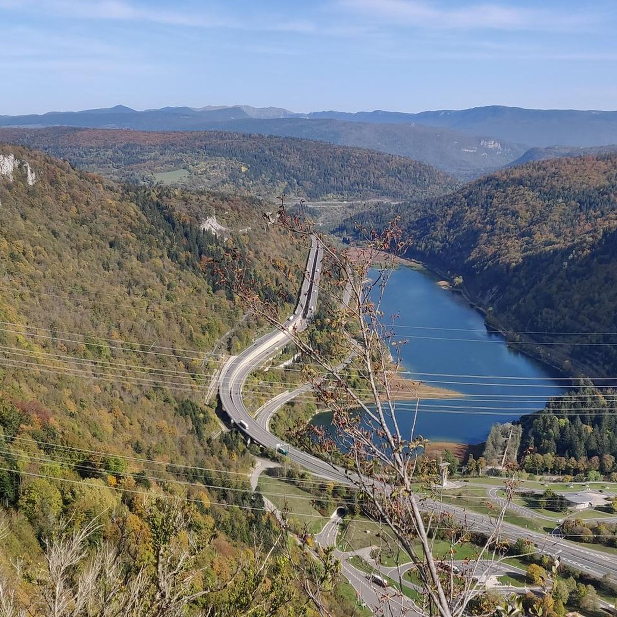
The Peney viewpoint overlooks Lake Sylans, on which it offers a beautiful view. Classified since 1909, one can distinguish on its banks the ruins of the old ice factories which commercialized the ice extracted from the lake until 1917. The passage is located at the level of the tunnel of the same name.
0
0

Nestled in pastures at an altitude of 1,000 meters, Giron is the highest (and sunniest!) village in the Ain. Welcoming, with breathtaking views, it is ideal for an overnight stop.
0
0

Here is the route for the ascent of the Col de Cuvillat starting from Champdor
1
0

Beautiful, simple, easy walk; lots of traffic noise on the "road" section, a bit of a shame, but the color of the water is magical
2
0

Wonderful car-free road. Great pass to Ginon.
0
0

The Col de Cuvillat connects Brénod to Champdor in the heart of Haut-Bugey. Easily accessible, it winds through forests and high-altitude meadows and reaches an altitude of 1,073 meters.
0
1
Frequently Asked Questions
What kind of terrain can I expect when road cycling around Charix?
Road cycling routes around Charix are primarily situated in the Haut-Bugey area of the Jura mountains, France. You can expect varied terrain with an average elevation of 780 meters, ranging from 580 to 1,046 meters. Routes often feature climbs like the one found on the Saint-Germain-de-Joux – Côte de Viry loop, and scenic sections near the deeply incised Cluse de Nantua.
How many road cycling routes are available in the Charix area?
There are over 180 road cycling routes available around Charix. These routes cater to various skill levels, with options ranging from easy to difficult, ensuring there's something for every cyclist.
Are there routes suitable for beginners or those looking for an easier ride?
Yes, while the region is known for its mountainous terrain, there are 7 easy road cycling routes available around Charix. These routes offer a gentler introduction to the area's landscapes, allowing less experienced cyclists to enjoy the scenery without overly challenging climbs.
What are some notable natural features or landmarks I might see along the routes?
Many road cycling routes in the Charix area offer views of significant natural features. You can expect to see Lake Nantua, Lake Genin, and the source of the stream flowing into Lac de Sylans. Some routes also pass through the Valserine Gorges and offer views from points like La Roche Fauconnière.
What is the best time of year for road cycling in Charix?
Given its location in the Jura mountains, the best time for road cycling in Charix is typically from spring through autumn. During these seasons, the weather is generally more favorable, and the mountain passes are clear of snow, offering optimal conditions for exploring the varied terrain.
Are there any circular road cycling routes around Charix?
Yes, many of the road cycling routes around Charix are designed as loops. For example, the Lake Nantua – View of Lake Nantua loop from Le Poizat-Lalleyriat is a popular circular route that allows you to start and finish in the same location while enjoying diverse scenery.
What is the general difficulty level of road cycling in Charix?
Road cycling in Charix offers a range of difficulties. While there are 7 easy routes, the majority are moderate (76 routes) or difficult (106 routes). This means cyclists can find challenging climbs and descents, particularly in the mountainous Haut-Bugey area, but also less demanding options.
Are there specific climbs or passes that road cyclists often tackle in the region?
Yes, the mountainous terrain around Charix includes several notable climbs and passes. The Côte de Viry is featured on a difficult loop from Saint-Germain-de-Joux. Other passes in the wider area include Col de Bérentin and Cuvéry Pass, which offer challenging ascents and rewarding views.
What do other road cyclists say about their experience in Charix?
The road cycling routes in Charix are highly rated by the komoot community, with an average score of 4.4 stars from over 150 reviews. Cyclists often praise the varied terrain, the scenic views of lakes like Nantua and Genin, and the challenging climbs offered by the Jura mountains.
Are there any routes that offer views of lakes?
Absolutely. The region is known for its beautiful lakes. Routes such as the Lake Nantua – View of Lake Nantua loop from Le Poizat-Lalleyriat and the Lake Nantua – Lac de Nantua loop from Le Poizat-Lalleyriat specifically highlight views of Lake Nantua. You can also find routes that pass by Lake Genin.
Can I find routes that are less crowded?
While specific data on route crowding isn't available, the Charix area is a smaller commune in the Jura mountains. Exploring some of the less popular or more challenging routes, especially during off-peak times, may offer a more solitary cycling experience away from busier sections.
What kind of natural landscapes define the Charix road cycling experience?
The road cycling experience in Charix is defined by the stunning natural landscapes of the Jura mountains and the Haut-Bugey area. Cyclists will encounter a mix of forested areas, open mountain views, and deep valleys like the Cluse de Nantua, often with glimpses of natural water features such as Lac de Sylans and Lac de Nantua.
Most popular attractions around Charix

Get inspired with the komoot mobile app


Explore more
Browse the best Road cycling routes in other regions.
