The best MTB trails around Saulx-Les-Chartreux
4.4
(1109)
5,320
riders
338
rides
Mountain bike trails around Saulx-Les-Chartreux traverse a landscape characterized by its preserved rural character, featuring extensive natural and agricultural lands. The region includes the Forêt Départementale du Rocher de Saulx, offering diverse terrain with varying soil types and scenic views towards the Yvette valley. Riders can also explore agricultural plains and areas around the flood retention lake, which is now a nature reserve. This varied environment provides a range of mountain biking experiences across forests, open fields, and natural reserves.
…Last updated: June 29, 2026
4.2
(19)
80
riders
29.5km
02:23
400m
400m
Moderate mountain bike ride. Good fitness required. Advanced riding skills necessary.
4.8
(10)
46
riders
46.8km
03:24
500m
500m
Moderate mountain bike ride. Good fitness required. Advanced riding skills necessary.

Sign up for free
5.0
(1)
31
riders
53.5km
04:19
700m
700m
Hard mountain bike ride. Good fitness required. Advanced riding skills necessary. Some portions of the route may require you to push your bike.
5.0
(4)
21
riders
Easy mountain bike ride. Great for any fitness level. Suitable for all skill levels.
5.0
(20)
9
riders
Easy mountain bike ride. Great for any fitness level. Suitable for all skill levels.
Get access to more routes and recommendations from other explorers.
Sign up for free
Already have an account?
Our route recommendations are based on thousands of hikes, rides, and runs completed by other people on komoot.
Start today with a free account
Your next adventure awaits.
Login or Signup


Tips from the Community

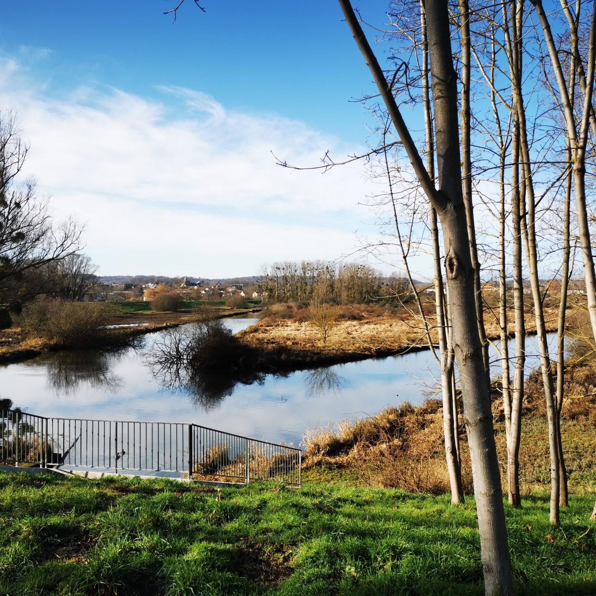
Bonus tip: bring food for the ducks
0
0

It's OK on mountain bikes, some hot sections on gravel
0
0


A magnificent playground for thrill seekers. The paths through the sandpit give you the opportunity to test your legs on the mounds.
0
0

The Chemin du Bras Mort cycle path in Bures-sur-Yvette offers a serene and picturesque ride through the natural beauty of the Chevreuse Valley. Following the meanders of the Yvette, this path takes you through lush greenery where you can observe the fauna and flora along the banks.
1
0

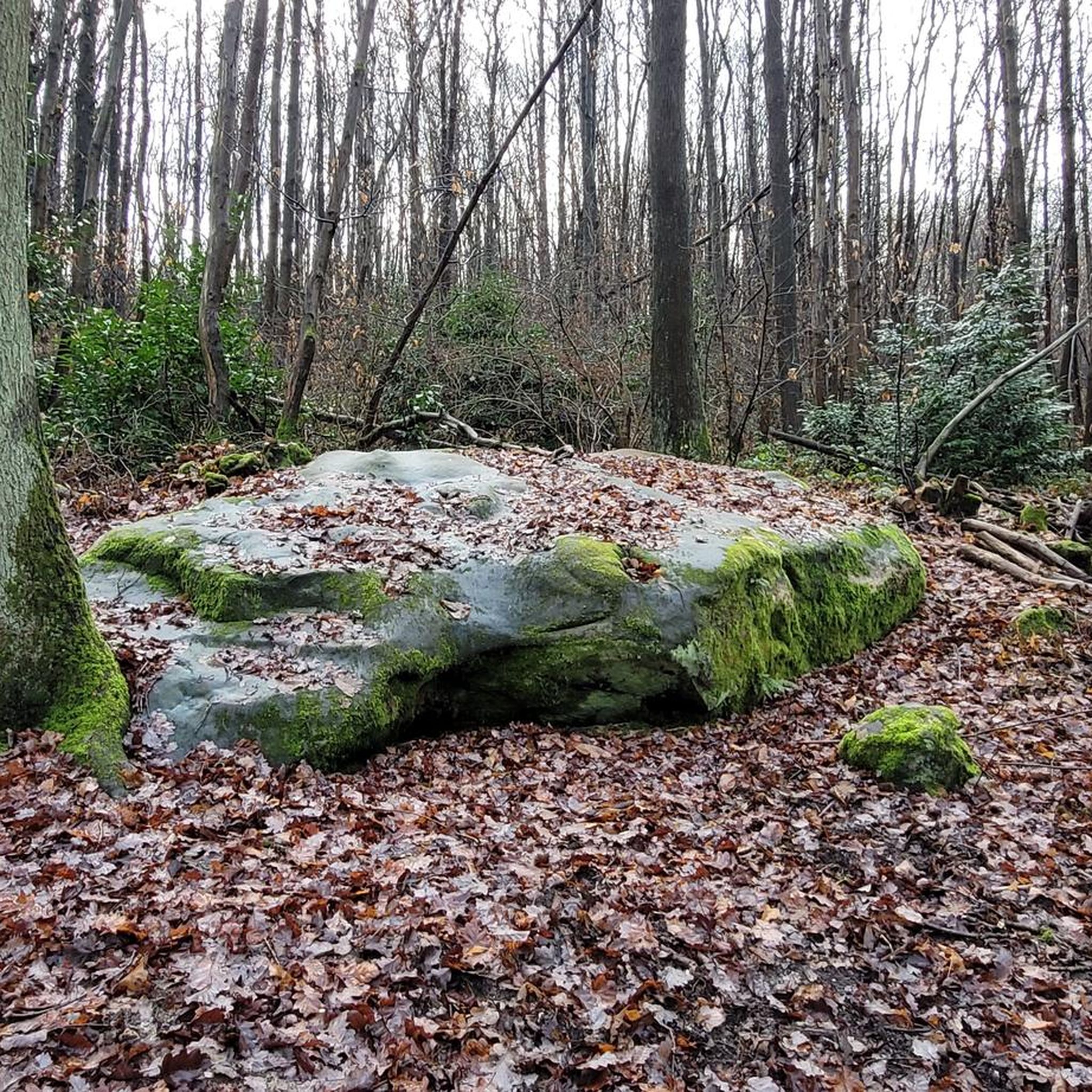
This trail is a fun downhill trail with some roots, perfect for testing your mountain biking skills. In wet weather, there is a bit of mud. In autumn, the leaves add a nice little obstacle.
1
0
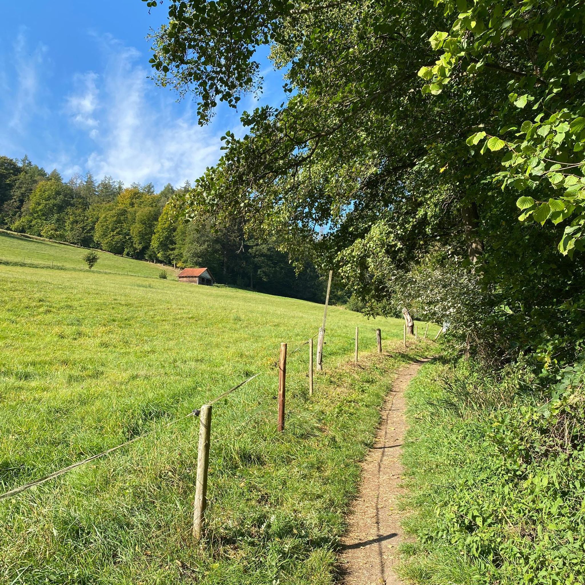
The Mérantaise Valley, near Villiers-le-Bâcle, is a veritable green haven in Île-de-France. The trail runs along the Mérantaise River, winding through dense forests, meadows and wetlands rich in biodiversity. It is a great place for bird watching and relaxation. The bucolic setting of this valley, punctuated by small bridges and shaded paths, makes it an ideal getaway.
0
1

Nice starting point for hiking or nice place to rest a little
2
0
Frequently Asked Questions
How many mountain bike trails are available in Saulx-Les-Chartreux?
Saulx-Les-Chartreux offers a wide variety of mountain biking experiences, with over 300 trails available. These routes cater to different skill levels, including approximately 75 easy, 175 moderate, and 64 difficult trails.
What kind of terrain can I expect on mountain bike trails in Saulx-Les-Chartreux?
The terrain in Saulx-Les-Chartreux is quite varied, reflecting its preserved rural character. You'll find trails traversing the Forêt Départementale du Rocher de Saulx with diverse soil types, including meulière, clays, and Fontainebleau sands. Routes also lead through agricultural plains and around the flood retention lake, offering a mix of forest paths, open fields, and natural reserve areas.
Are there mountain bike trails suitable for beginners in Saulx-Les-Chartreux?
Yes, beginners can find suitable options. There are around 75 easy mountain bike trails in the area. An example of an easy route is the Sunrise Over Lake Phoenix – Saulx Basin loop from Saulx-les-Chartreux, which is about 9.5 miles (15.3 km) long and features minimal elevation gain.
Are there any circular mountain bike routes in Saulx-Les-Chartreux?
Many of the mountain bike trails in Saulx-Les-Chartreux are designed as loops, allowing you to start and finish at the same point. For instance, the Vallée de la Mérantaise – Sablière d'Aigrefoin loop from Longjumeau is a moderate 28.6 miles (46.0 km) circular path that navigates varied terrain.
What natural features or landmarks can I see along the mountain bike trails?
The region offers several interesting natural features and landmarks. You can explore the Forêt Départementale du Rocher de Saulx, which provides scenic views towards the Yvette valley. To the north, the flood retention basin has created "l'Île aux Oiseaux" (Bird Island), a nature reserve with a permanent lake. Geological quarries like the former Chèze and Lunézy quarries also present unique sights. Additionally, you might encounter the Fauvettes Viaduct on some routes.
Are there any family-friendly mountain bike trails in Saulx-Les-Chartreux?
While the guide focuses on mountain biking, the area's parks and less challenging routes can be suitable for families. The Parc des Sources, for example, is accessible to people with reduced mobility and offers gentle paths. For specific family-friendly mountain bike routes, look for trails rated as 'easy' in komoot, which often have less technical terrain and shorter distances.
What do other mountain bikers enjoy the most about mountain biking in Saulx-Les-Chartreux?
The area is highly rated by the komoot community, with an average score of 4.4 stars from over 1100 reviews. Reviewers often praise the diverse landscapes, including the departmental forests and agricultural plains, which provide varied riding experiences. The well-maintained trails and the opportunity to explore natural reserves are also frequently highlighted.
What is the best time of year for mountain biking in Saulx-Les-Chartreux?
Saulx-Les-Chartreux offers good mountain biking conditions throughout much of the year. Spring is particularly beautiful when the chestnut coppices in the Forêt Départementale du Rocher de Saulx are adorned with bluebells. The diverse terrain means that even in wetter conditions, some trails may remain rideable, though forest paths can become muddy. Summer and autumn also provide pleasant riding weather.
Are there any challenging mountain bike routes for experienced riders?
Yes, experienced riders will find plenty of challenging options. There are 64 difficult trails in the area. For example, the Vallée de la Mérantaise – Fauvettes Viaduct loop from Longjumeau is a demanding 33.4 miles (53.7 km) trail with significant elevation gain, often taking over 4 hours to complete.
Where can I find parking for mountain biking in Saulx-Les-Chartreux?
While specific parking locations for each trailhead are not detailed here, Saulx-Les-Chartreux is well-equipped with public spaces. You can typically find parking near the various parks, such as Parc de la Mairie or Parc des Sources, or at designated access points for the Forêt Départementale du Rocher de Saulx. It's advisable to check individual route descriptions on komoot for recommended starting points and parking information.
Can I reach the mountain bike trails using public transport?
Saulx-Les-Chartreux is part of the Île-de-France region and is served by local public transport networks, including buses. While direct access to every trailhead might vary, it is generally possible to reach the commune and its surrounding natural areas via public transport, especially from nearby larger towns. Check local bus schedules and routes for the most convenient access points.
Most popular routes around Saulx-Les-Chartreux
Most popular attractions around Saulx-Les-Chartreux

Get inspired with the komoot mobile app


Explore more
Browse the best MTB trails in other regions.
