The best walks and hikes around Bellignat
4.2
(683)
4,979
hikers
129
hikes
Hiking around Bellignat offers exploration within the Ain department of the Auvergne-Rhône-Alpes region, situated at the edge of the Jura mountains. The landscape is characterized by dense forests, including the Nierme and Châtelard forests, covering a significant portion of its territory. Elevations range from 516 to 983 meters, providing varied terrain for hikers. The Lange river flows through the area, contributing to the natural scenery.
Best hiking trails around Bellignat
- The most popular hiking route is Sarsouille Valley loop from…
Last updated: October 28, 2026
4.8
(6)
84
hikers
7.61km
02:10
180m
180m
Moderate hike. Good fitness required. Easily walkable paths.
4.3
(3)
16
hikers
13.8km
04:29
580m
580m
Moderate hike. Good fitness required. Easily walkable paths.

4.3
(4)
41
hikers
15.0km
04:42
570m
570m
Moderate hike. Good fitness required. Easily walkable paths.
4.3
(3)
15
hikers
26.1km
08:08
940m
940m
Hard hike. Very good fitness required. Easily walkable paths.
1.0
(1)
9
hikers
5.25km
01:25
70m
70m
Easy hike. Easily walkable paths.
Get access to more routes and recommendations from other explorers.
Already have an account?
Our route recommendations are based on thousands of hikes, rides, and runs completed by other people on komoot.
Start today with a free account
Your next adventure awaits.

Tips from the Community

Fallen tree on the path, it is possible to pass underneath one person at a time. or over along the rock. It's passable but complicated.
0
0

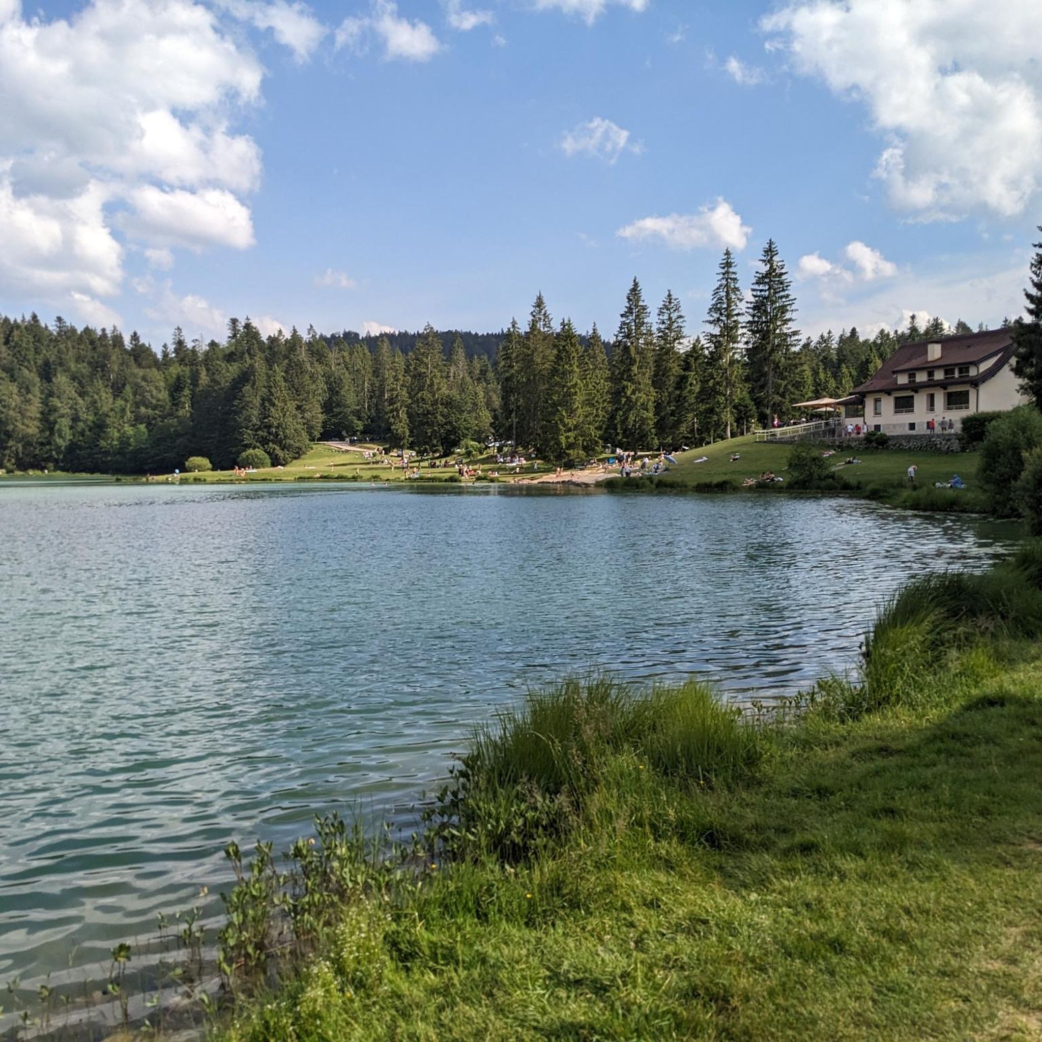
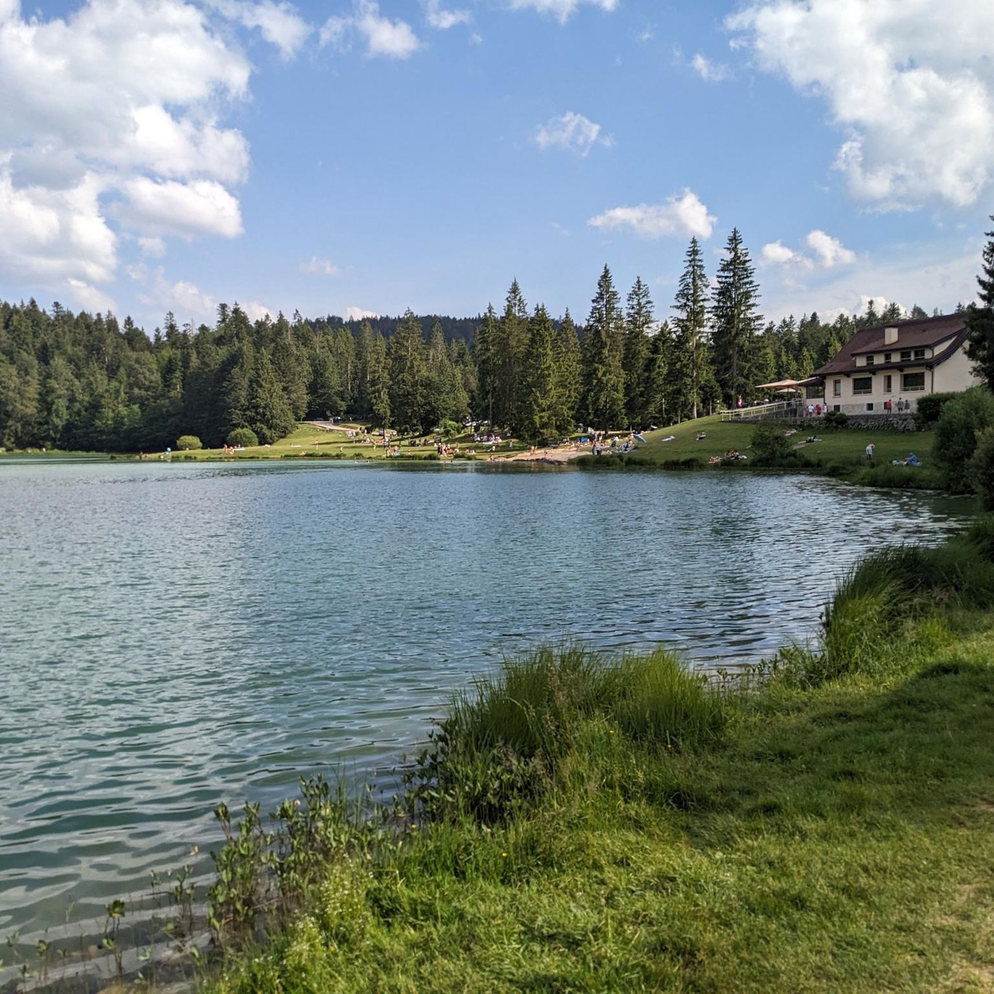
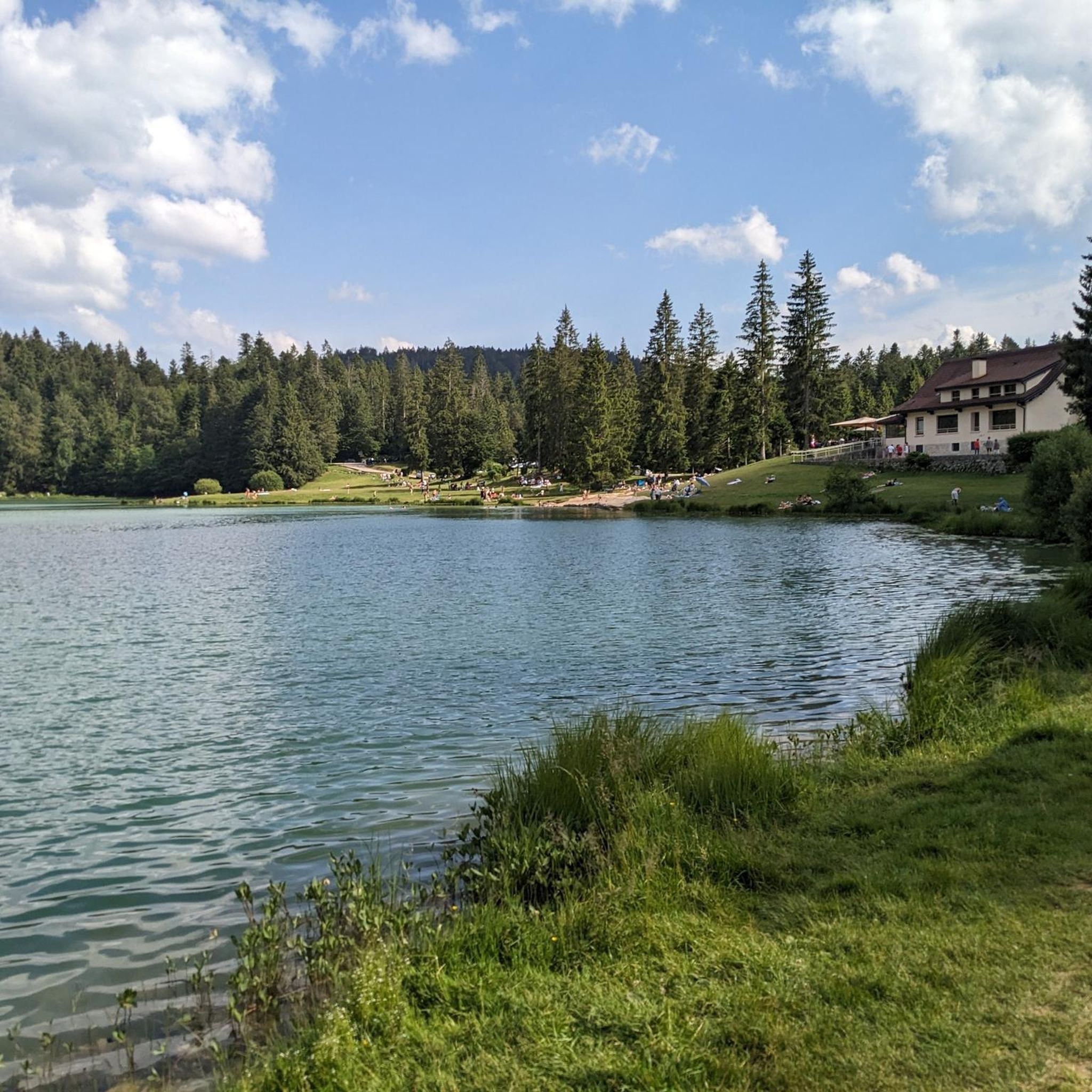
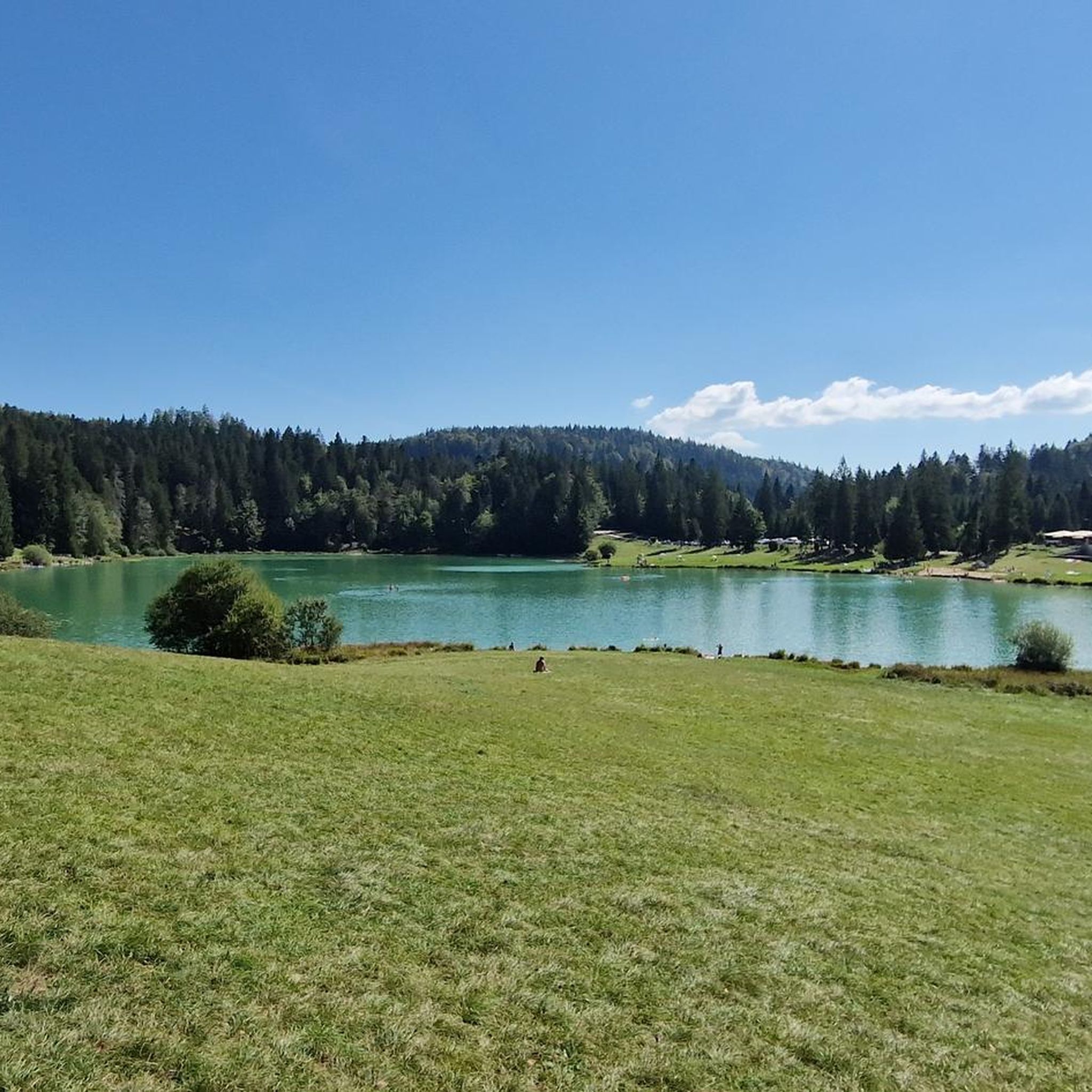
Pretty little lake in the heart of the small Jura mountains
0
0

Good alternative to the road. It's steeper, more rocky and forested, and there are several small streams along it, so it's much nicer to connect Géovreisset and the Forge district on foot.
0
0
Magnificent walking circuit along the Sarsouille. The river is still a torrent in a deep valley, in the middle of the forest. It's a stone's throw from the center of Oyonnax.
0
0


Nicknamed the little Canada of Haut-Bugey, this mountain lake, with its alpine firs and turquoise waters, is an ideal destination in the Ain for a bike ride. At 850 meters altitude, surrounded by conifers, this lake offers a moment of freshness on beautiful days and can be a place for ice skating in winter (skate rental at the Auberge du Lac Genin).
3
0

A very pretty lake. Possibility in winter, if the conditions are present, to skate on the lake.
1
0
Frequently Asked Questions
What kind of hiking trails can I expect to find in Bellignat?
Bellignat offers a diverse range of hiking trails, from easy walks to more challenging ascents. The landscape is characterized by dense forests like the Nierme and Châtelard forests, varied terrain, and the presence of the Lange river. You'll find paths suitable for different ability levels, with over 120 routes available, including 41 easy, 69 moderate, and 12 difficult options.
Are there any easy or accessible hiking trails in Bellignat?
Yes, Bellignat provides several easy and accessible options. The Lange Gentle Path (La voie douce du Lange) is a flat, pleasant route connecting Oyonnax to Nantua, suitable for walking, strollers, and people with reduced mobility. Another accessible option is the 8.1 km Oyonnax Bellignat Trail, noted for its simple profile and accessibility.
What are some notable natural features or landmarks to see while hiking in Bellignat?
The region is rich in natural beauty. You can explore the dense woodlands of the Nierme and Châtelard forests, or follow the picturesque Lange river. Nearby, you'll find stunning lakes such as Lake Nantua, Lake Genin, and the dramatic landscapes around Lake Coiselet with its surrounding cliffs. Other points of interest include the Oliferne Castle Ruins and the Grotte de Corveissiat.
Are there any circular hiking routes available in Bellignat?
Absolutely. Many trails in Bellignat are designed as loops, allowing you to start and end at the same point. Examples include the popular Sarsouille Valley loop from Oyonnax, the scenic Viewpoint – Le Pré Rond loop from Géovreisset, and a shorter Hiking loop from Oyonnax through local woodlands.
Is Bellignat a good destination for family hikes?
Yes, Bellignat is well-suited for family hikes. The region offers numerous easy paths, such as the Lange Gentle Path and the Oyonnax Bellignat Trail, which are flat and accessible for all ages, including those with strollers. The varied forest terrain provides a pleasant environment for children to explore.
Can I bring my dog on the hiking trails in Bellignat?
Generally, dogs are welcome on many of the hiking trails in Bellignat, especially within the extensive forest areas like Nierme and Châtelard. However, it's always advisable to keep your dog on a leash, particularly in areas with wildlife or near agricultural land, and to check for any specific local regulations or protected areas.
What is the best time of year to go hiking in Bellignat?
Bellignat offers hiking opportunities throughout much of the year. Spring and autumn provide pleasant temperatures and beautiful scenery with changing foliage. Summer is also popular, with the dense forests offering welcome shade. During winter, the nearby Jura massif offers cross-country skiing, but hiking conditions on lower trails can vary, so check local weather forecasts.
What do other hikers say about the trails in Bellignat?
The hiking routes in Bellignat are highly regarded by the komoot community, holding an average score of 4.3 stars from over 500 reviews. Hikers frequently praise the region's 'particularly green and preserved environment,' the diverse forest landscapes, and the well-maintained paths that showcase the natural 'gems of Haut-Bugey'.
Are there any longer or more challenging hikes for experienced hikers?
For experienced hikers seeking a challenge, Bellignat offers more demanding routes. The Sarsouille Valley – Mollard Rond PDV Côté Oyonnax loop from Oyonnax is a difficult 15.6 km trail with significant elevation gain. Another challenging option is the Sarsouille Valley – Lake Genin loop from Oyonnax, a 25.1 km route requiring good fitness.
Where can I find parking for hiking trails in Bellignat?
While specific parking areas for every trailhead are not detailed, Bellignat and its surrounding towns like Oyonnax typically offer public parking facilities. For routes starting from Oyonnax or Géovreisset, you can usually find parking within the town centers or designated areas near trail access points. It's advisable to check local maps or komoot tour details for specific parking recommendations for your chosen route.
Can I reach hiking trails in Bellignat using public transport?
Yes, public transport can provide access to some hiking areas. The Lange Gentle Path, for instance, connects Oyonnax and Nantua, both of which are accessible by public transport. For other trails, particularly those starting from Bellignat or Oyonnax, local bus services might be available. Checking regional transport schedules for the Ain department is recommended to plan your access.
Most popular routes around Bellignat
Most popular attractions around Bellignat

Get inspired with the komoot mobile app


Explore more
Browse the best Hikes in other regions.
