The best walks and hikes around Sausheim
4.5
(591)
3,660
hikers
14
hikes
Hiking around Sausheim offers access to a network of trails characterized by flat terrain and riverine landscapes. The region features paths along waterways like the Ill and Quatelbach, with minimal elevation changes. These routes provide opportunities for accessible outdoor activity within a local setting.
Best hiking trails around Sausheim
- The most popular hiking route is Hiking loop from Illzach, a 4.0 miles (6.5 km) trail that takes 1 hour 38 minutes to complete, offering an easy walk through local…
Last updated: May 20, 2026
38
hikers
6.50km
01:38
10m
10m
Easy hike. Great for any fitness level. Easily-accessible paths. Suitable for all skill levels.
5.0
(1)
22
hikers
7.86km
01:59
10m
10m
Easy hike. Great for any fitness level. Easily-accessible paths. Suitable for all skill levels.

Sign up for free
8
hikers
9.16km
02:19
10m
10m
Moderate hike. Good fitness required. Easily-accessible paths. Suitable for all skill levels.
5.0
(1)
6
hikers
11.9km
03:00
10m
10m
Moderate hike. Good fitness required. Easily-accessible paths. Suitable for all skill levels.
4
hikers
8.57km
02:09
10m
10m
Moderate hike. Good fitness required. Easily-accessible paths. Suitable for all skill levels.
Get access to more routes and recommendations from other explorers.
Sign up for free
Already have an account?
Our route recommendations are based on thousands of hikes, rides, and runs completed by other people on komoot.
Start today with a free account
Your next adventure awaits.
Login or Signup
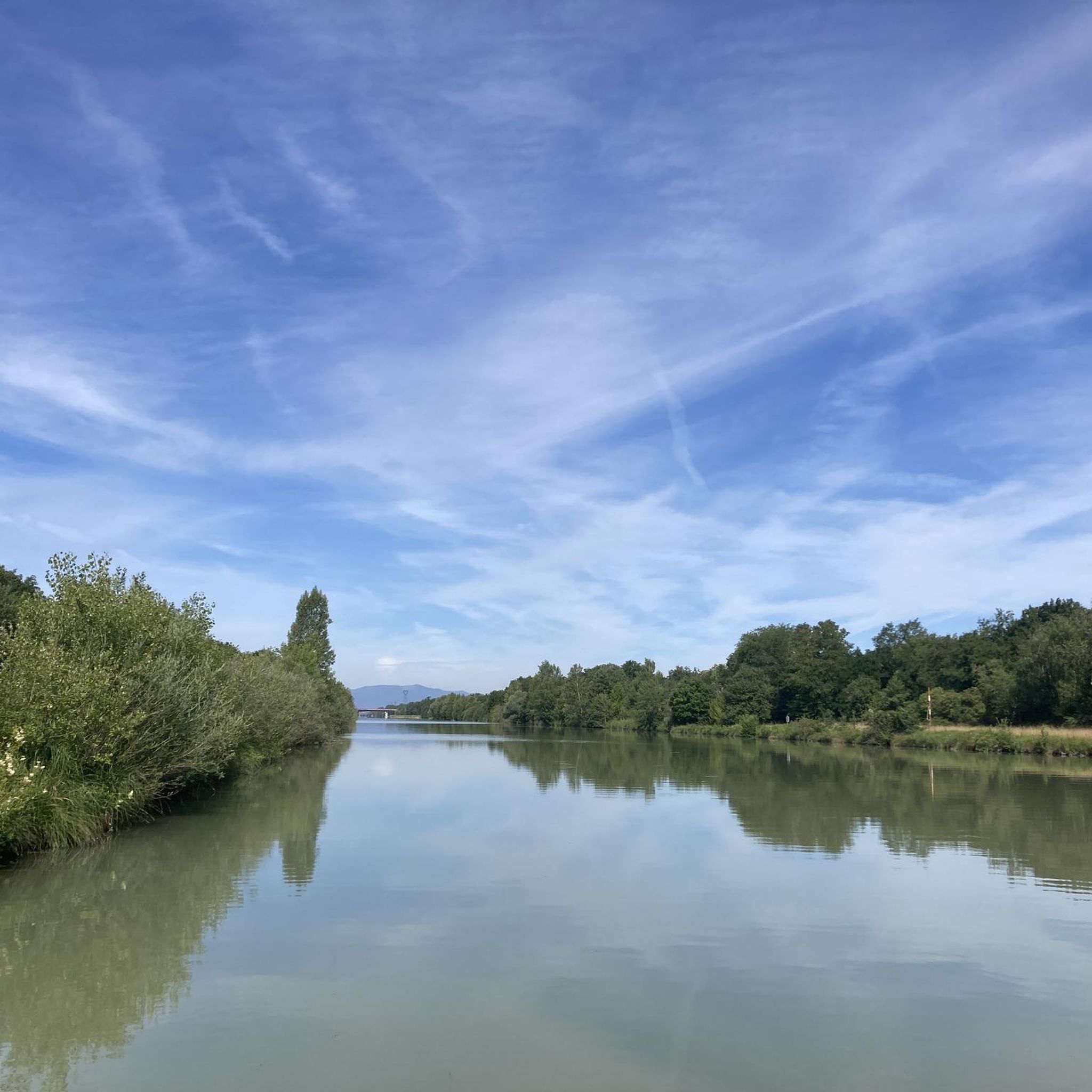

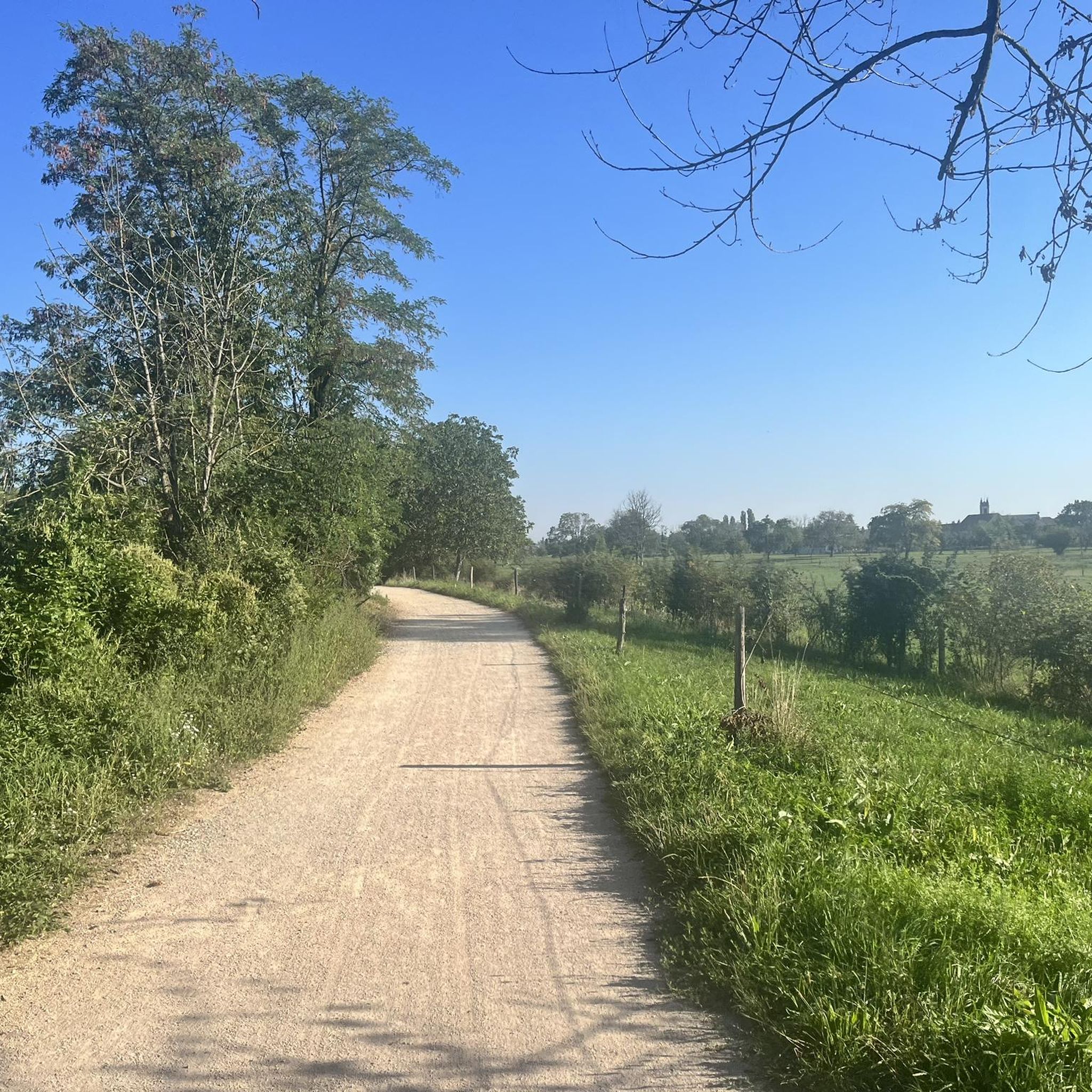
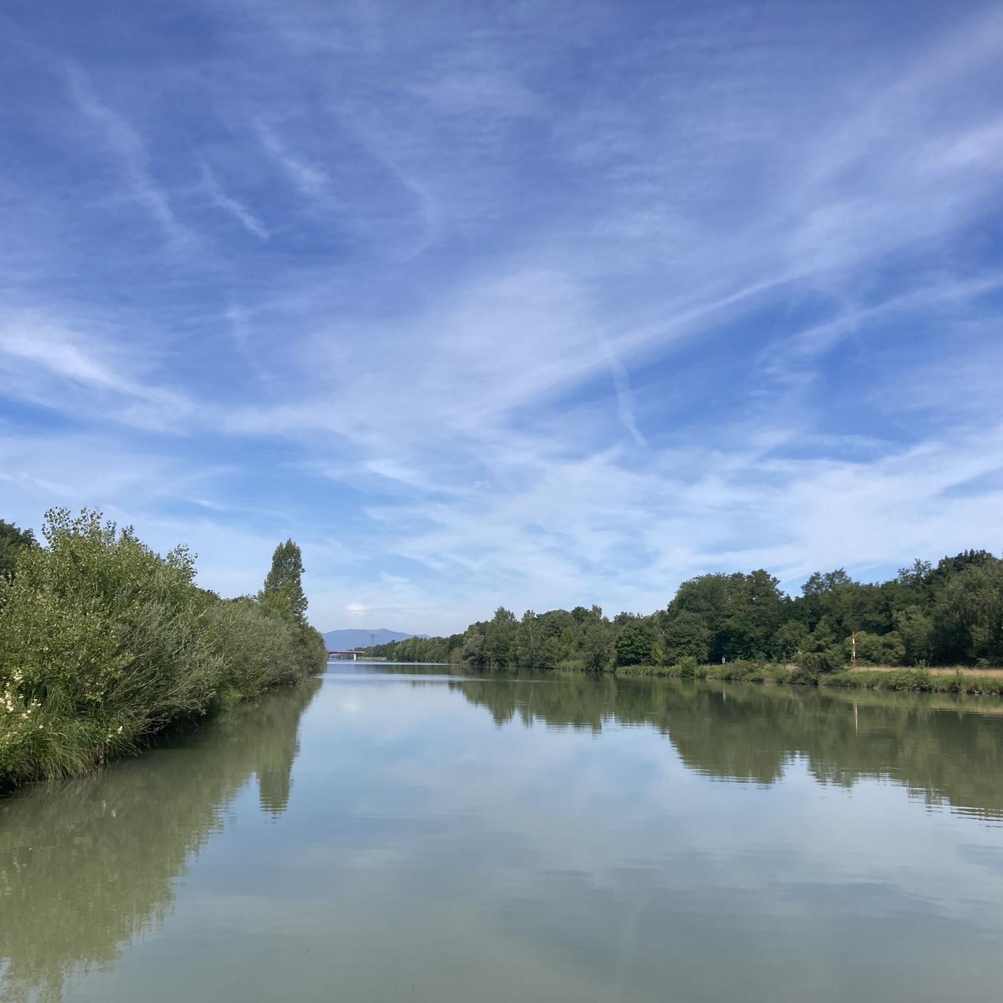

Tips from the Community

Private quarry, completely closed and almost invisible (wire mesh + vegetation).
0
0
Insect and damselfly refuge, opposite a house with a statue, murals and a column on the theme of insects.
0
0

Nice little cafe serving hot food and coffee in one of the villages.
0
0

Beautiful and quiet cycle path between Battenheim and Baldersheim
0
0

Cycle path along the Quatelbach, between Battenheim and Baldersheim.
2
0
Frequently Asked Questions
What is the general terrain like for hiking around Sausheim?
Hiking around Sausheim is characterized by its largely flat terrain and scenic riverine landscapes. You'll find many paths following waterways like the Ill and Quatelbach, with minimal elevation changes, making for generally easy and accessible walks.
Are there many easy hiking trails suitable for beginners in Sausheim?
Yes, Sausheim offers a good selection of easy hiking trails. Out of the 14 available routes, 11 are classified as easy, making the area very welcoming for beginners or those looking for a relaxed walk. An example is the L'Ill loop from Illzach, which is an easy 7 km (4.3 miles) path.
Can I find circular hiking routes in Sausheim?
Many of the trails in Sausheim are designed as loops, offering convenient circular routes. For instance, the Hiking loop from Illzach is a popular 6.5 km (4.0 miles) circular trail that takes about 1 hour 38 minutes to complete.
What are the typical distances and durations for hikes in Sausheim?
The hiking trails in Sausheim vary in length, with many falling into the 6 to 12 km (3.7 to 7.5 miles) range. Durations typically range from 1.5 hours for shorter, easy loops to around 3 hours for longer, moderate routes. For example, the Along the Quatelbach – piste de karting loop from Sausheim is a moderate 11.8 km (7.3 miles) route.
Are there any family-friendly or stroller-friendly hiking options?
Given the predominantly flat terrain and riverine paths, many trails around Sausheim are suitable for families and can accommodate strollers. The gentle nature of routes like the Hiking loop from Sausheim, an easy 7.9 km (4.9 miles) path, makes them ideal for a leisurely family outing.
What kind of attractions or landmarks can I see along the trails?
While hiking around Sausheim, you can explore various points of interest, often related to the region's waterways. Notable attractions include the Niffer Lock and sections of the Rhône–Rhine Canal. There are also several lakes nearby, such as Wuhrloch Lake and Plan d'Eau de l'Ancienne Gravière Orsa, which can be pleasant stops.
What do other hikers say about the trails in Sausheim?
The hiking trails in Sausheim are highly regarded by the komoot community, holding an average rating of 4.5 stars from over 540 reviews. Hikers often appreciate the well-maintained paths, the peaceful river scenery, and the accessibility of the routes for various fitness levels.
Are there any moderate or more challenging hiking routes available?
While most trails are easy, Sausheim does offer a few moderate options for those seeking a slightly longer or more varied experience. For example, the Piste de karting loop from Sausheim is a moderate 9.3 km (5.8 miles) trail that takes approximately 2 hours 20 minutes to complete.
Is public transport available to reach hiking trailheads in Sausheim?
Sausheim is a local community, and public transport options like local buses may serve the area. It's advisable to check local bus schedules and routes to determine the best way to reach specific trailheads from your starting point.
What is the best time of year to go hiking in Sausheim?
The flat terrain and riverine paths of Sausheim make it suitable for hiking throughout much of the year. Spring and autumn offer pleasant temperatures and colorful scenery, while summer can be enjoyable, especially along shaded riverbanks. Winter hiking is also possible, though conditions may vary.
Are the hiking trails in Sausheim dog-friendly?
Generally, the natural paths and open landscapes around Sausheim are suitable for walking with dogs. However, it's always recommended to keep dogs on a leash, especially near agricultural areas or wildlife habitats, and to check for any specific local regulations or signage on individual trails.
Most popular attractions around Sausheim

Get inspired with the komoot mobile app


Explore more
Browse the best Hikes in other regions.
