The best road cycling routes around Baldersheim
4.4
(488)
10,535
riders
406
rides
Road cycling around Baldersheim, located in France's Haut-Rhin department, offers diverse landscapes with predominantly paved surfaces and varying elevation gains. The region features riverine paths along the Quatelbach, Thur, and Rhine rivers, alongside routes through vineyards in the Alsace Wine Route foothills. Cyclists can access more challenging terrain in the nearby Vosges Mountains, providing options for different fitness levels.
Best road cycling routes around Baldersheim
- The most popular road cycling route is Cycle Path with Blue Bridge – Thur River…
Last updated: July 5, 2026
4.2
(5)
118
riders
63.9km
03:13
690m
690m
Moderate road ride. Good fitness required. Mostly well-paved surfaces and easy to ride.
4.6
(11)
134
riders
48.7km
02:06
180m
180m
Moderate road ride. Good fitness required. Mostly well-paved surfaces and easy to ride.

Sign up for free
4.5
(2)
67
riders
62.7km
03:13
710m
710m
Moderate road ride. Good fitness required. Mostly well-paved surfaces and easy to ride.
56
riders
Easy road ride. Great for any fitness level. Mostly well-paved surfaces and easy to ride.
5.0
(1)
57
riders
Moderate road ride. Great for any fitness level. Some segments of this route may be unpaved and difficult to ride.
Get access to more routes and recommendations from other explorers.
Sign up for free
Already have an account?
Our route recommendations are based on thousands of hikes, rides, and runs completed by other people on komoot.
Start today with a free account
Your next adventure awaits.
Login or Signup


Tips from the Community


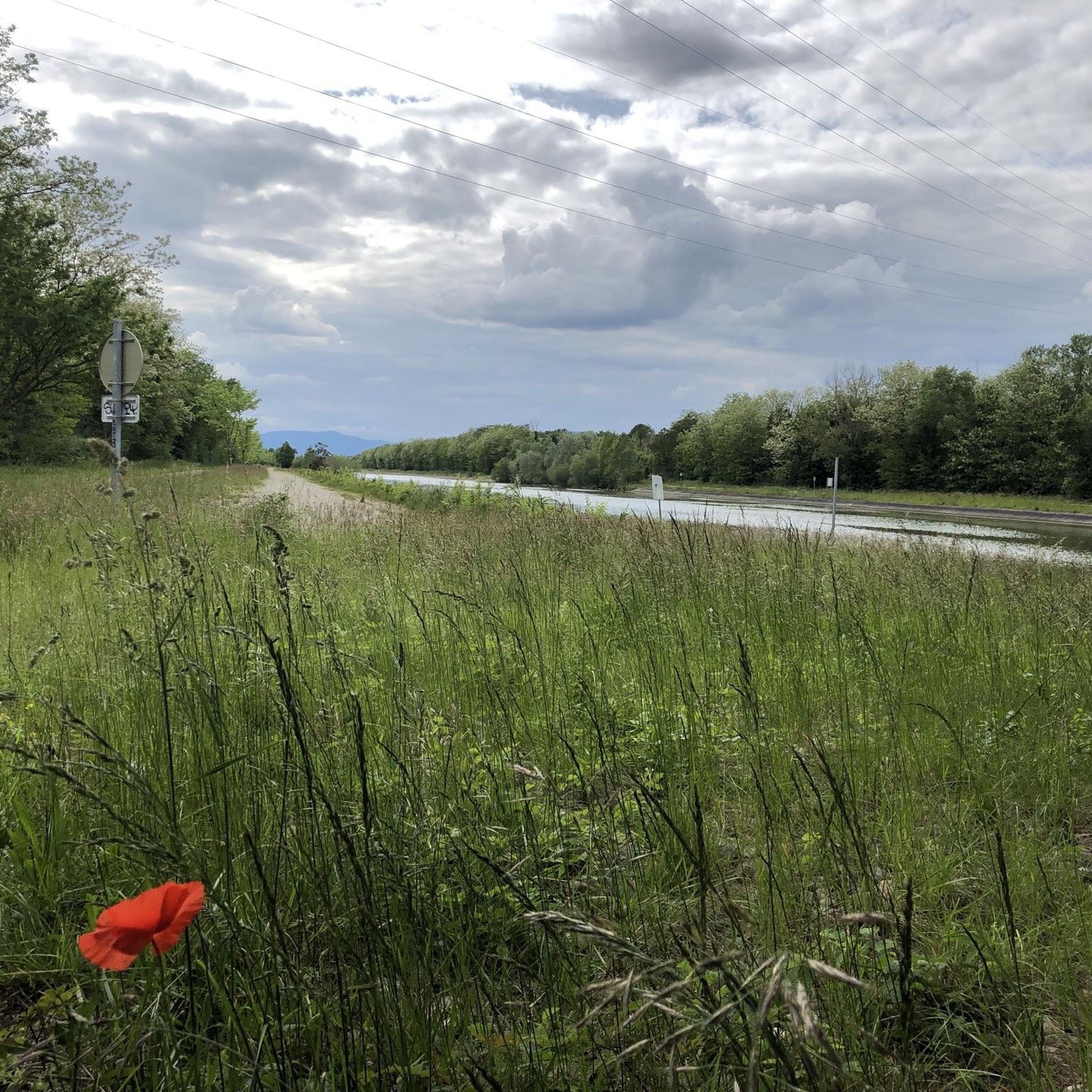
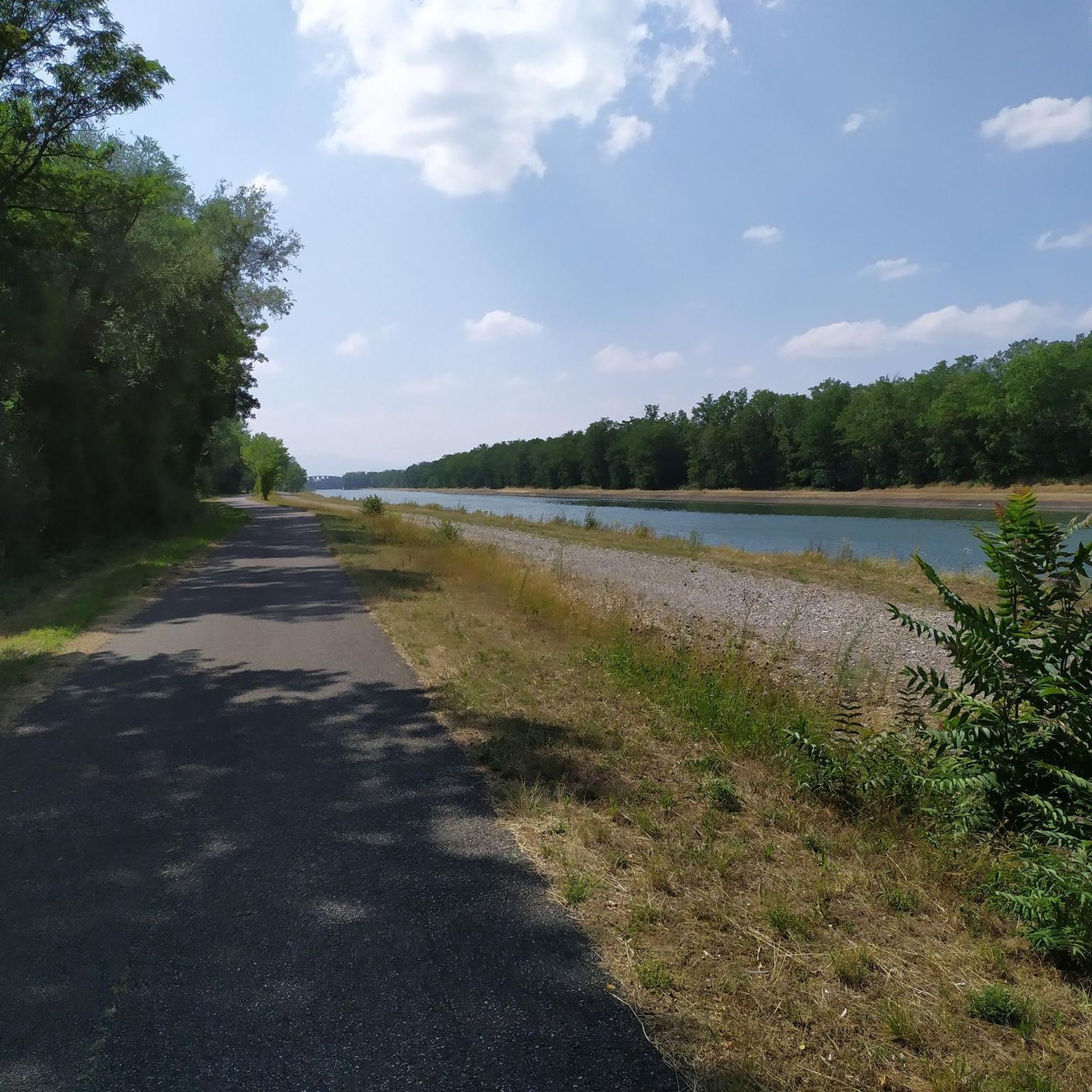
The VV221 cycle route is part of the EuroVélo 5 network and begins in Ensisheim at the Thur bridge and ends in Cernay after about 17 km. The route initially runs alongside the road, then past ponds and finally through a wooded area. It runs alongside the Thur and passes the Alsatian Ecomuseum (another route leads to Ungersheim via the Petit Prince Park). The Green Route then winds along the Thur, passing Pulversheim, Staffelfelden, and Wittelsheim, and finally reaches Cernay, still along the Thur.
0
0
The VV221 cycle route is part of the EuroVélo 5 network and begins in Ensisheim at the Thur bridge and ends in Cernay after about 17 km. The route initially runs alongside the road, then past ponds and finally through a wooded area. It runs alongside the Thur and passes the Alsatian Ecomuseum (another route leads to Ungersheim via the Petit Prince Park). The Green Route then winds along the Thur, passing Pulversheim, Staffelfelden, and Wittelsheim, and finally reaches Cernay, still along the Thur.
0
0

The castle fits nicely into the panorama. But I didn't go there.
0
0

very nice cycle path to Mulhouse without road proximity (no noise) pure nature
0
0

A very beautiful, narrow road through the forest with a pleasant incline. Very secluded, with hardly any traffic (at least during the week in early June 2025).
0
0

beautiful and away from traffic
0
0

The climb of the Col Amic from Soultz-Haut-Rhin is a beautiful and accessible climb in the Vosges, ideal for cyclists who love regularity and nature. The climb is 12.1 km long, bridges 559 meters of altitude and has an average gradient of 4.6%. The route winds through a quiet, wooded area and offers beautiful views of the Alsatian plain along the way. The summit is at 829 meters and forms a junction towards the Grand Ballon or the Hartmannswillerkopf massif. Thanks to its even profile, this climb is suitable for both recreational cyclists and athletic climbers.
6
0
Frequently Asked Questions
How many road cycling routes are available around Baldersheim?
There are over 400 road cycling routes around Baldersheim, offering a wide variety of options for different skill levels and preferences. The komoot community has explored more than 10,000 road cycling tours in the region.
What kind of terrain can I expect when road cycling near Baldersheim?
Road cycling near Baldersheim features diverse landscapes with predominantly paved surfaces and varying elevation gains. You'll find pleasant riverine paths along the Quatelbach, Thur, and Rhine rivers, as well as routes through the picturesque vineyards of the Alsace Wine Route foothills. For more challenging rides, the nearby Vosges Mountains offer significant climbs.
Are there routes suitable for beginners or those looking for easy rides?
Yes, Baldersheim offers a good selection of easy road cycling routes. There are over 110 easy routes available, many of which follow riverine paths like the Thur River Cycle Path, providing gentle terrain and minimal elevation changes. An example is the VV Section 5 – Ensisheim loop from Wittenheim, which is rated easy.
Where can I find challenging road cycling routes or climbs near Baldersheim?
For more challenging road cycling, head towards the Vosges Mountains, approximately fifteen kilometers from Baldersheim. Routes like the Ascent to Col Amic – Amic Pass loop from Baldersheim or the Ascent to Col Amic – Climb to Col Amic loop from Cité Jeune Bois include significant ascents towards Col Amic, providing a strenuous workout. The region offers over 60 difficult routes for experienced cyclists.
What do other cyclists say about road cycling in Baldersheim?
The road cycling routes in Baldersheim are highly rated by the komoot community, with an average score of 4.4 stars from over 400 reviews. Cyclists often praise the varied terrain, from scenic river paths to challenging mountain climbs, and the well-maintained paved surfaces.
Are there any loop road cycling routes around Baldersheim?
Yes, many road cycling routes around Baldersheim are designed as loops, allowing you to start and end at the same point. Examples include the popular Cycle Path with Blue Bridge – Thur River Cycle Path loop from Ruelisheim and the Beautiful blue metal bridge – Bike path to Ensisheim loop from Illzach.
What is the best time of year for road cycling in Baldersheim?
The region around Baldersheim is generally pleasant for road cycling from spring through autumn. Spring offers blooming landscapes, while autumn provides stunning colors, especially through the vineyards. Summer is also suitable, though it's advisable to start earlier in the day to avoid the midday heat.
What scenic viewpoints or natural attractions can I discover along road cycling routes?
Many routes offer scenic views and pass by natural attractions. You can find viewing platforms along the Rhine River, such as the Viewing platform on the Rhine. Other natural highlights in the area include Wuhrloch Lake and the Ziehlbrunnen Spring, which can be incorporated into your rides.
Are there cultural or historical sites accessible by road bike near Baldersheim?
Absolutely. Cycling routes frequently pass through charming traditional Alsatian villages, allowing you to experience local culture and architecture. Nearby towns like Mulhouse and Ottmarsheim, home to the oldest church in Alsace, are easily accessible. The region also boasts medieval heritage and Romanesque architecture, with sites like the Ecomuseum at Ungersheim just 10 km away via cycling paths.
Are there family-friendly road cycling routes in the Baldersheim area?
Yes, the riverine routes, particularly those along the Quatelbach and Thur rivers, are often well-suited for families due to their predominantly flat, paved surfaces and scenic surroundings. These paths offer a safe and enjoyable experience for cyclists of all ages.
Where can I find parking for road cycling routes around Baldersheim?
Baldersheim and its surrounding towns offer various parking options, often near trailheads or in village centers. For specific routes, it's recommended to check the route details on komoot, as many tours provide information on suitable starting points with parking availability.
Are there opportunities for cafe stops or refreshments along the routes?
Yes, many road cycling routes in the Baldersheim area pass through or near traditional Alsatian villages and towns. These locations often have cafes, bakeries, and restaurants where you can stop for refreshments and experience local cuisine. The Alsace Wine Route, in particular, is known for its charming villages with numerous culinary delights.
Most popular routes around Baldersheim
Most popular attractions around Baldersheim

Get inspired with the komoot mobile app


Explore more
Browse the best Road cycling routes in other regions.
