The best walks and hikes around Étoile-Sur-Rhône
4.6
(444)
4,408
hikers
231
hikes
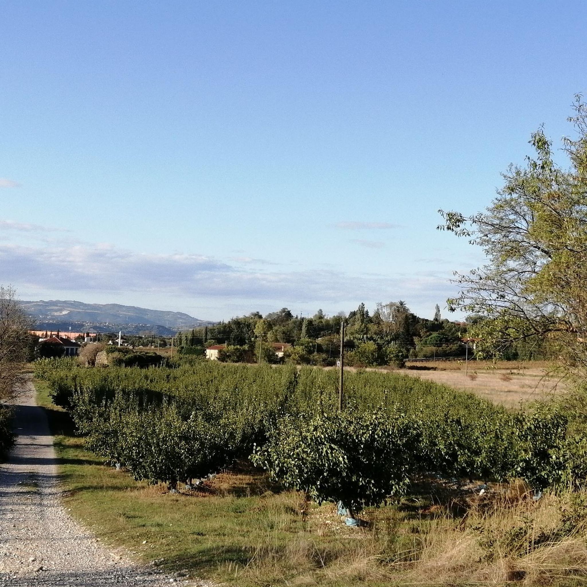
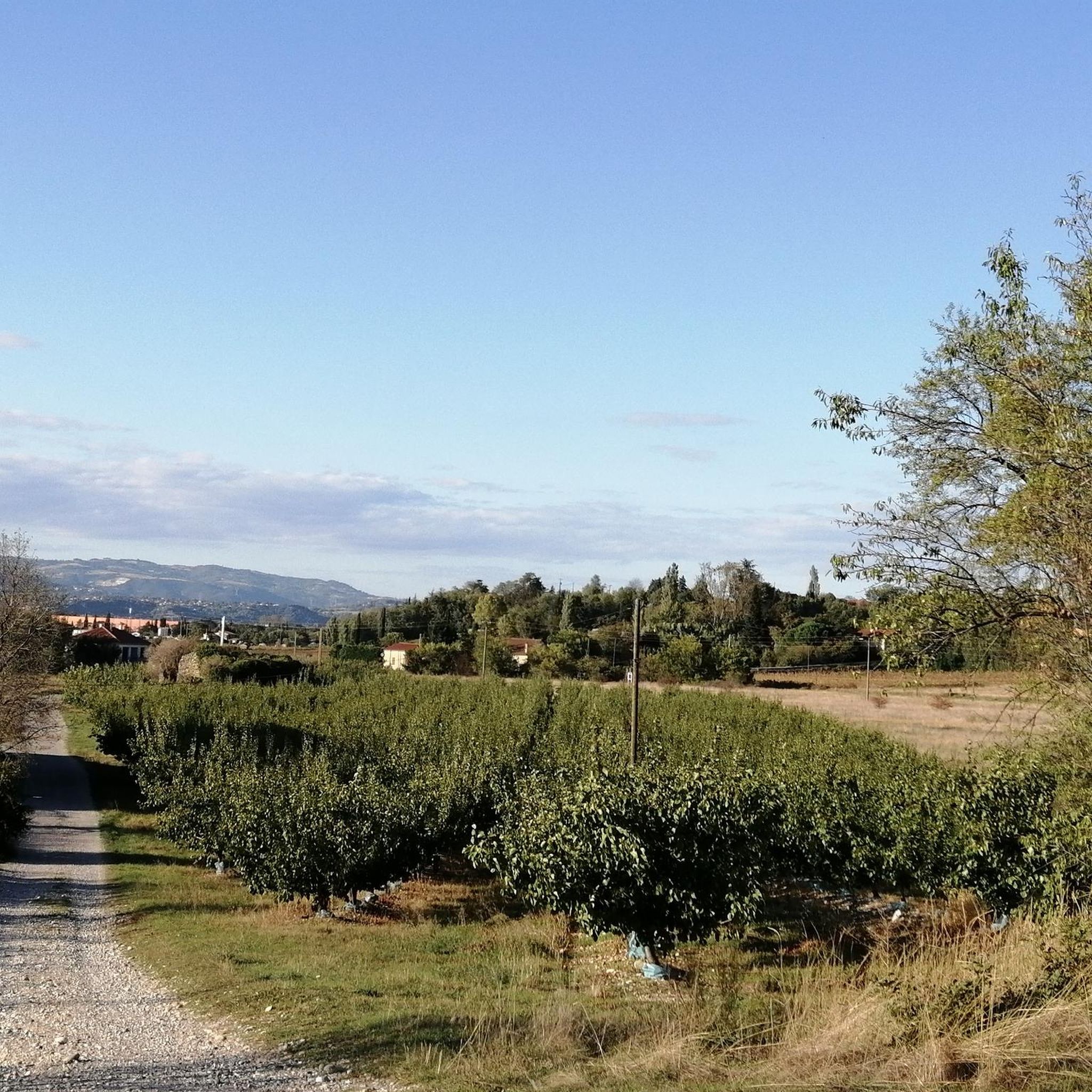
Hiking around Étoile-Sur-Rhône offers diverse landscapes across the Drôme department. The region features elevated perspectives of the Rhône Valley, with views extending to the Vercors massif and the Ardèche mountains. Terrain includes elevated ridges, agricultural plains, and paths along the Rhône River, as well as smaller rivers like the Véore and Pétochin. The area also encompasses natural spaces such as the Ile du Chez lake, part of the Base Nature d'Etoile.
Best hiking trails around Étoile-Sur-Rhône
- The most popular hiking route is Hiking loop from Étoile-sur-Rhône, a 7.1 miles (11.4 km) trail that takes 3 hours to complete. This moderate route offers views over the surrounding countryside.
- Another top favourite among local hikers is Lorient Park loop from Portes-lès-Valence, a moderate 7.5 miles (12.1 km) path. This trail explores parkland and riverine landscapes.
- Local hikers also love the La Voulte-sur-Rhône loop from La Voulte-sur-Rhône, a 4.3 miles (7.0 km) trail leading through riverbanks and local scenery, often completed in about 1 hour 47 minutes.
- Hiking around Étoile-Sur-Rhône is defined by panoramic views of the Rhône Valley, elevated ridges, and tranquil river paths. The network offers options for easy, moderate, and difficult ability levels.
- The routes in Étoile-Sur-Rhône are highly rated by the komoot community with an average score of 4.5 stars from over 400 reviews. More than 4000 hikers have used komoot to explore Étoile-Sur-Rhône's varied terrain.
Last updated: May 12, 2026
4.5
(2)
26
hikers
11.4km
03:00
100m
100m
Moderate hike. Good fitness required. Easily-accessible paths. Suitable for all skill levels.
5.0
(1)
30
hikers
9.85km
02:32
40m
40m
Moderate hike. Good fitness required. Easily-accessible paths. Suitable for all skill levels.

Sign up for free
9
hikers
6.96km
01:47
30m
30m
Easy hike. Great for any fitness level. Easily-accessible paths. Suitable for all skill levels.
4
hikers
4.69km
01:19
100m
100m
Easy hike. Great for any fitness level. Easily-accessible paths. Suitable for all skill levels.
5
hikers
15.3km
04:27
400m
400m
Moderate hike. Good fitness required. Easily-accessible paths. Suitable for all skill levels.
Get access to more routes and recommendations from other explorers.
Sign up for free
Already have an account?
Our route recommendations are based on thousands of hikes, rides, and runs completed by other people on komoot.
Start today with a free account
Your next adventure awaits.
Login or Signup


Tips from the Community

Beauchastel, a charming village on the Rhône River in the Ardèche region, invites you to a relaxing visit. The historic old town, with its narrow streets and traditional stone houses, is particularly worth seeing. The ruins of the old castle offer picturesque views of the Rhône and the surrounding countryside. Nature lovers enjoy walks along the river or through the region's verdant vineyards. A hidden idyll away from the hustle and bustle of the tourist crowds, it's well worth a visit.
0
0

Place Anja on the main street, but nice view of the castle ruins.
2
0
nice winding place, old town of Beauchastel
3
0

Beautiful winding city! But there is: nothing! The last boulangerie is also closed during the summer holidays 🥲
1
0

La Voulte-sur-Rhône is a beautiful town on the banks of the Rhône which shines with its magnificent bridge and its monuments. We can mention the Castral castle and town, the Girou fountain or the Princes' chapel, among others. It is at the crossroads of several cycle routes such as the ViaRhôna and the Dolce Via.
3
0

La Voulte-sur-Rhone is a pretty town on the Rhone. Recommended for a stopover. Good cafes and bakeries.
2
0
Very nice suspension bridge and beautiful view of the castle.
4
0

Small town at the strategic bend in the Rhône river where the trail crosses the bridge to the left bank
4
2
Frequently Asked Questions
How many hiking trails are available around Étoile-Sur-Rhône?
Étoile-Sur-Rhône offers a wide variety of hiking opportunities, with over 225 routes recorded on komoot. These trails cater to all levels, including 116 easy, 97 moderate, and 12 difficult options.
What kind of landscapes can I expect to see while hiking in Étoile-Sur-Rhône?
Hikers in Étoile-Sur-Rhône will experience diverse landscapes. You can expect breathtaking panoramic views across the Rhône Valley, with vistas extending to the majestic Vercors massif and the Ardèche mountains. The terrain includes elevated ridges, fertile agricultural plains, and tranquil paths along the Rhône River, as well as smaller rivers like the Véore and Pétochin. Natural spaces like the Ile du Chez lake also offer unique scenery.
What is the best time of year to go hiking in Étoile-Sur-Rhône?
The region is enjoyable for hiking throughout much of the year. Spring and autumn offer pleasant temperatures and vibrant scenery, with blooming wildflowers or colorful foliage. Summer can be warm, making early morning or late afternoon hikes preferable. Winter hiking is also possible, though some higher elevation paths might require more preparation.
Are there any notable viewpoints or landmarks to discover on the trails?
Yes, many trails offer excellent viewpoints and historical landmarks. Ascending to the Château Park provides superb panoramic views over the Rhône Valley. You might also encounter the historical Chappe Telegraph on the heights. For specific points of interest, consider exploring highlights like Crussol Castle or the Esplanade du Champ de Mars, which are accessible from various routes.
Can I find trails that explore the local rivers or lakes?
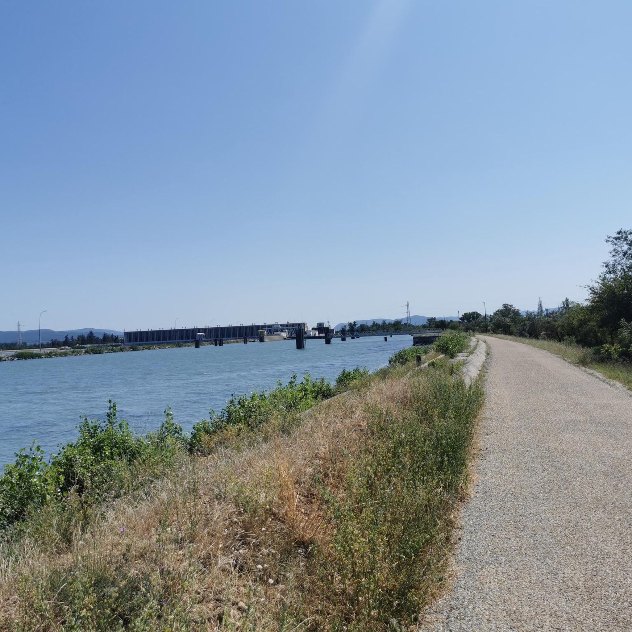
Absolutely. The area features pleasant trails along the banks of the Rhône River, including ancient towpaths. Smaller rivers like the Véore and Pétochin also offer tranquil paths. A significant natural attraction is the "Ile du Chez" lake, part of the Base Nature d'Etoile, which provides a preserved natural space with wild banks and a remarkable ecosystem for nature lovers.
Are there any easy or beginner-friendly hiking routes?
Yes, Étoile-Sur-Rhône has 116 easy routes suitable for beginners or those looking for a relaxed walk. An excellent option is the La Voulte-sur-Rhône loop from La Voulte-sur-Rhône, a 4.3-mile (7.0 km) trail that takes about 1 hour 47 minutes and leads through riverbanks and local scenery.
Are there circular hiking routes available?
Many of the trails around Étoile-Sur-Rhône are circular, offering convenient starting and ending points. A popular choice is the Hiking loop from Étoile-sur-Rhône, a 7.1-mile (11.4 km) moderate route with views over the countryside. Another option is the Lorient Park loop from Portes-lès-Valence, which explores parkland and riverine landscapes.
Are the hiking trails around Étoile-Sur-Rhône suitable for families?
Yes, many trails are family-friendly, especially the easier routes and those exploring natural spaces. The Base Nature d'Etoile, with its Ile du Chez lake, offers a health course and a preserved natural environment perfect for family outings. Consider routes like the Orientation Table loop from Charmes-sur-Rhône for a manageable distance and interesting views.
Are there dog-friendly hiking options in the area?
Many trails in the Étoile-Sur-Rhône region are suitable for hiking with dogs, provided they are kept under control, especially in agricultural areas or near wildlife. It's always recommended to check local signage for any specific restrictions in nature reserves or protected areas. Generally, the varied terrain and open spaces offer plenty of opportunities for you and your canine companion.
What do other hikers enjoy the most about hiking in Étoile-Sur-Rhône?
The area is highly rated by the komoot community, with an average score of 4.5 stars from over 400 reviews. Hikers frequently praise the diverse landscapes, from panoramic Rhône Valley views to tranquil river paths, and the well-maintained network of trails that cater to all abilities. The blend of natural beauty and historical points of interest also receives positive feedback.
Are there any historical or cultural trails in Étoile-Sur-Rhône?
Yes, Étoile-Sur-Rhône offers a "heritage trail" that allows visitors to explore its rich history. This trail winds through the village, showcasing medieval and Renaissance architecture, including ancient ramparts, fountains, and historical buildings like the Notre-Dame d'Etoile church and the Diane de Poitiers tower. Ascending to the Château Park also provides a glimpse into the past alongside stunning views.
What is the typical duration of hiking trails in Étoile-Sur-Rhône?
Hiking durations vary significantly depending on the route's length and difficulty. You can find short walks lasting just over an hour, like the La Voulte-sur-Rhône loop (approx. 1 hour 47 minutes), to longer, more challenging hikes that can take several hours. For example, the Orientation Table loop from Saint-Georges-les-Bains is about 5.8 miles (9.3 km) and takes around 1 hour 37 minutes.
Most popular routes around Étoile-Sur-Rhône
Most popular attractions around Étoile-Sur-Rhône

Get inspired with the komoot mobile app


Explore more
Browse the best Hikes in other regions.
