The best walks and hikes around Wittelsheim
4.6
(2228)
13,581
hikers
786
hikes
Hiking around Wittelsheim offers access to diverse landscapes, from rehabilitated industrial sites to natural wetlands and forests. The region is characterized by the unique Rothmoos Marshes and Heaths, a nature reserve featuring wetlands, dry moors, and saline environments. Proximity to the Vosges Mountains provides opportunities for trails with varied terrain and elevation. The area's hiking routes traverse woodlands and open spaces, reflecting a blend of natural beauty and ecological restoration.
Best hiking trails around Wittelsheim
- The most popular hiking route…
Last updated: June 28, 2026
5.0
(4)
53
hikers
12.6km
03:44
370m
370m
Moderate hike. Good fitness required. Easily-accessible paths. Suitable for all skill levels.
3.8
(4)
19
hikers
8.65km
02:13
30m
30m
Moderate hike. Good fitness required. Easily-accessible paths. Suitable for all skill levels.

Sign up for free
4.0
(2)
15
hikers
Moderate hike. Good fitness required. Easily-accessible paths. Suitable for all skill levels.
5.0
(2)
17
hikers
5.43km
01:23
20m
20m
Easy hike. Great for any fitness level. Easily-accessible paths. Suitable for all skill levels.
5.0
(3)
14
hikers
7.63km
02:13
200m
200m
Moderate hike. Good fitness required. Easily-accessible paths. Suitable for all skill levels.
Get access to more routes and recommendations from other explorers.
Sign up for free
Already have an account?
Our route recommendations are based on thousands of hikes, rides, and runs completed by other people on komoot.
Start today with a free account
Your next adventure awaits.
Login or Signup
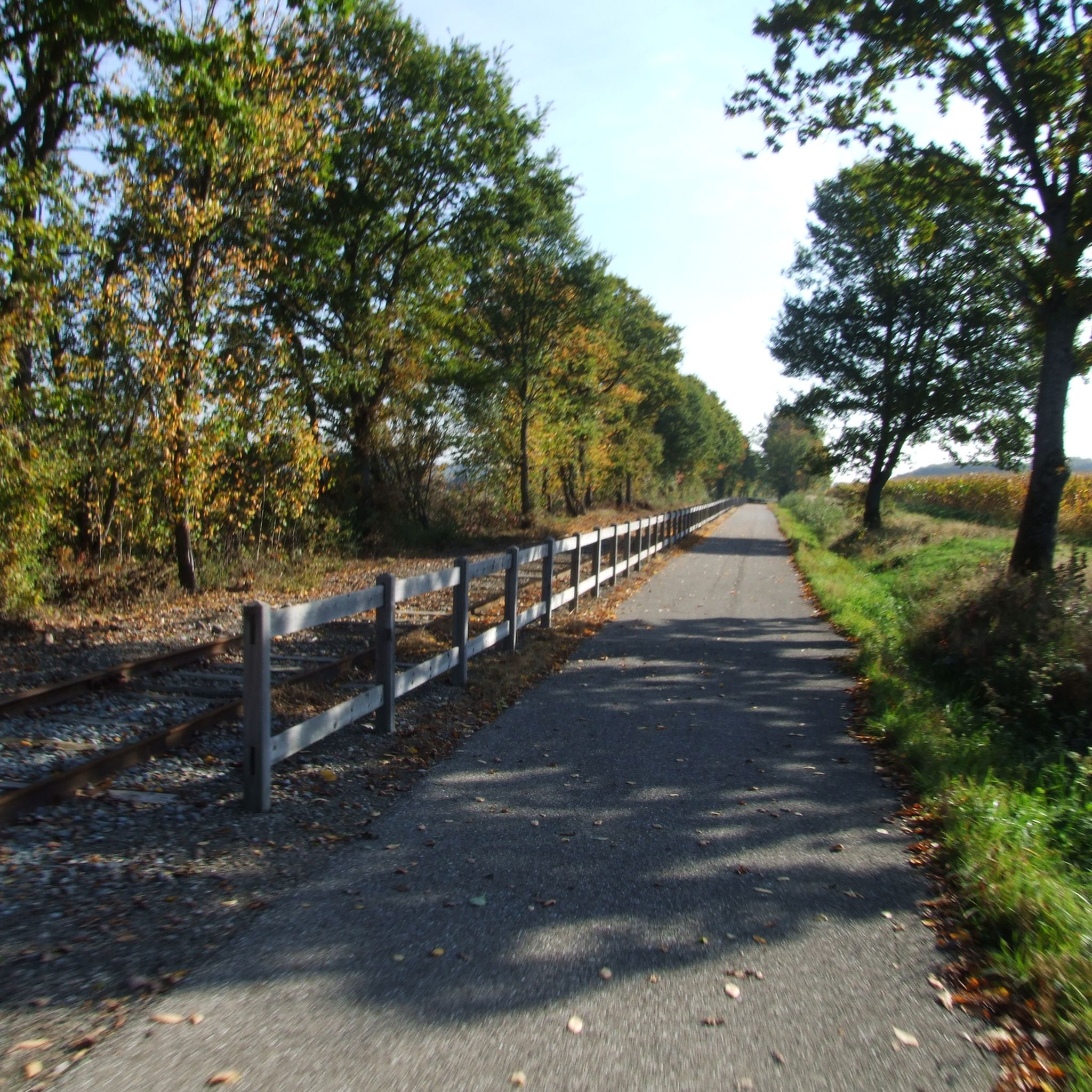

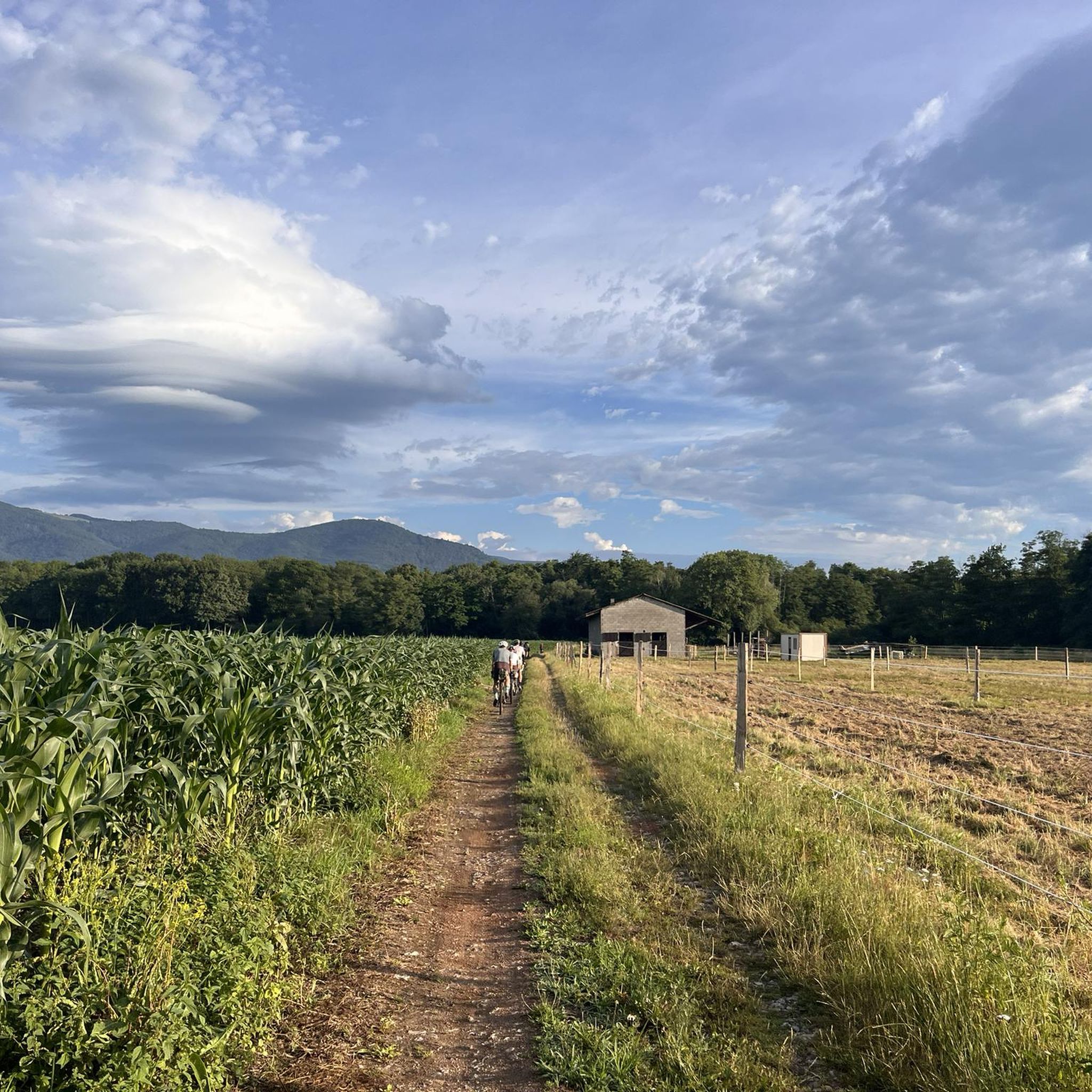
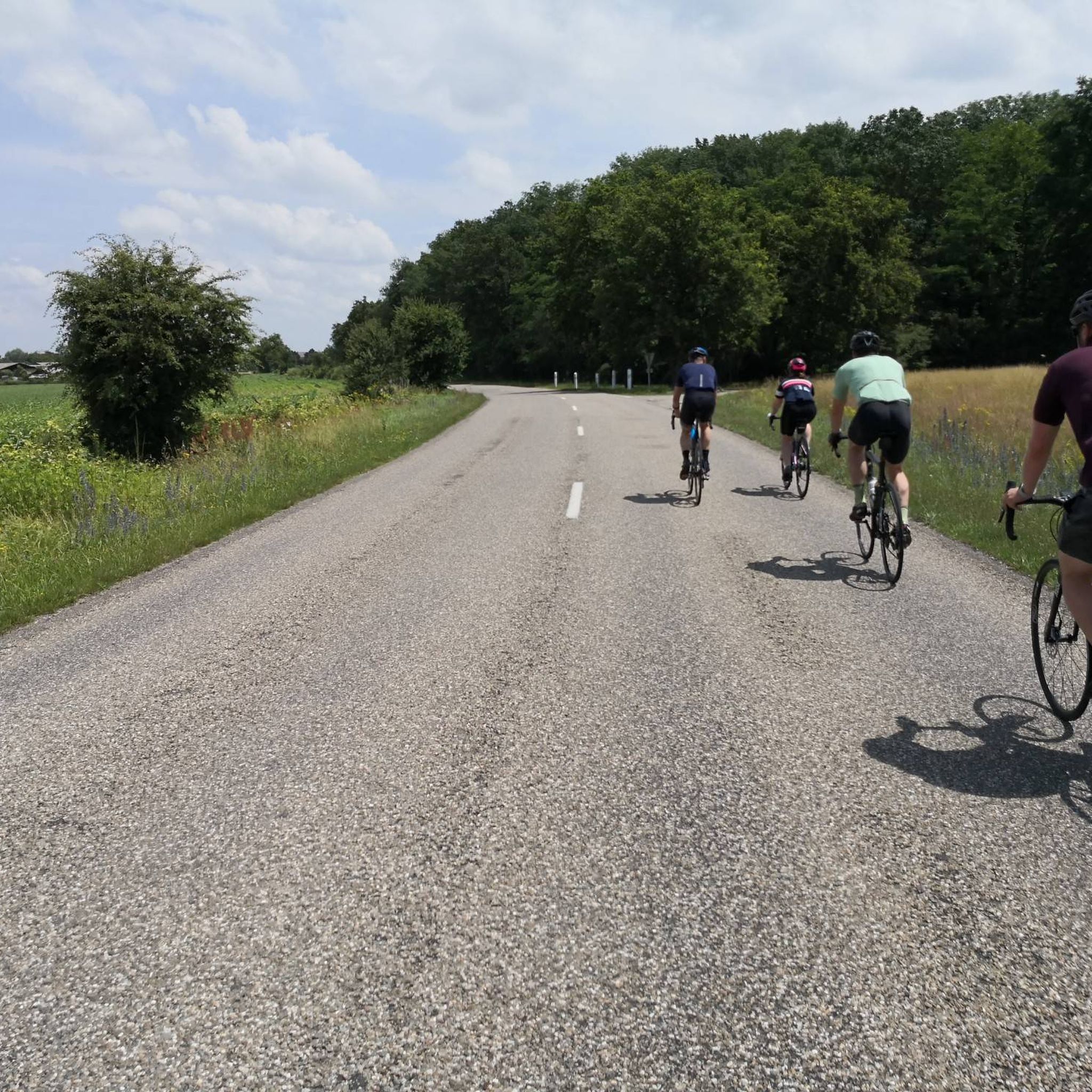
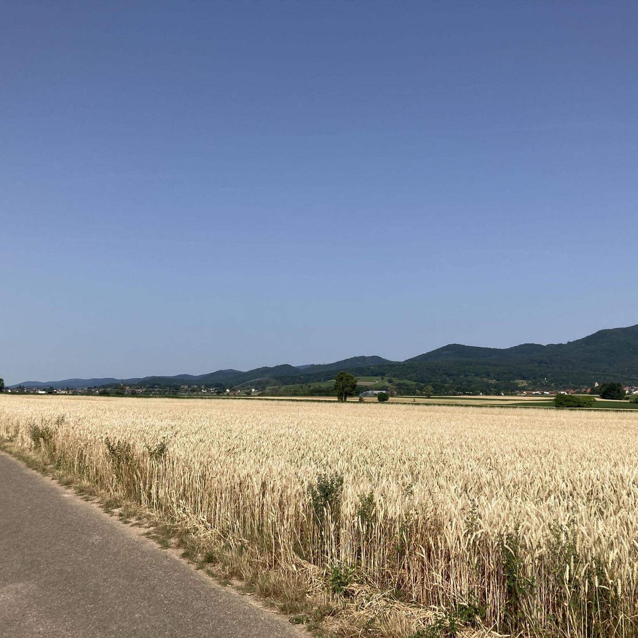
Tips from the Community

Small square by the Thur with benches. About the statue inaugurated in 2011: https://www.paroisses-paysdecernay.fr/wordpress/?page_id=6171
0
0
More information at https://www.uffholtz.fr/cadre-de-vie/espaces-verts-loisirs/#espacefrantz
0
0
From the same artist, you can find https://www.komoot.com/fr-fr/highlight/8211606 in Issenheim.
0
0

It's handy for avoiding getting run over 😁
1
0

A photogenic place, otherwise it's just a simple bridge.
1
0

In Steinbach everything is in order: there are even detailed guidelines for walking.
1
0
Frequently Asked Questions
How many hiking trails are available in Wittelsheim?
Wittelsheim offers a wide array of hiking opportunities, with over 760 routes available. These trails cater to various skill levels, including over 360 easy routes, 340 moderate routes, and nearly 60 more challenging options.
Are there family-friendly hiking trails in Wittelsheim?
Yes, Wittelsheim has numerous family-friendly options, particularly easy routes that are suitable for all ages. The Reiningue - Reiningue Lake – Reiningue Pond loop, for instance, is an easy 2.7 km path offering views of the Rothmoos Nature Reserve's diverse habitats, perfect for a leisurely family stroll.
What kind of natural features can I expect to see on hikes around Wittelsheim?
The region is rich in diverse natural features. You can explore the unique wetlands, dry moors, and rehabilitated industrial landscapes of the Rothmoos Marshes and Heaths. Further afield, the Vosges Mountains offer panoramic views and extensive forests. Highlights like the Viewpoint at the summit of Vieil Armand provide stunning vistas.
Are there any circular hiking routes in Wittelsheim?
Many of the hiking routes in Wittelsheim are circular, allowing you to start and end at the same point. An example is the Lake of Ensisheim – Beautiful blue metal bridge loop from Pulversheim, a moderate 12.8 km trail that takes you through scenic landscapes.
Can I hike with my dog in Wittelsheim?
Generally, dogs are welcome on hiking trails in Wittelsheim. However, it's always advisable to keep your dog on a leash, especially within nature reserves like the Rothmoos Marshes, to protect local wildlife and ensure a pleasant experience for all hikers.
What is the best time of year to go hiking in Wittelsheim?
Spring and autumn are often considered the best times for hiking in Wittelsheim, offering pleasant temperatures and beautiful scenery. Spring brings blooming flora, especially in the wetlands, while autumn showcases vibrant fall colors in the forests. Summer can also be enjoyable, particularly for shaded forest trails.
Are there any longer or more challenging hikes near Wittelsheim?
For those seeking more challenging routes, Wittelsheim's proximity to the Vosges Mountains provides excellent opportunities. While local trails like the Saint Nicolas Mine – Schletzenbourg Mine loop from Cernay offer moderate ascents, the Vosges Mountains, including peaks like Ballon d'Alsace and Hohneck, feature extensive trails with varying difficulty and significant elevation changes.
What are some interesting historical or cultural landmarks to see while hiking?
Wittelsheim's industrial past has shaped its landscape, and you can explore areas linked to potash mining history. Additionally, nearby historical sites include the Hartmannswillerkopf National Monument, a significant World War I site that can be incorporated into longer hikes.
Where can I find parking for hiking trails in Wittelsheim?
Many trailheads around Wittelsheim, especially those for popular routes, offer designated parking areas. For specific routes, it's recommended to check the route details on komoot, as parking information is often included there.
What do other hikers say about the trails in Wittelsheim?
The hiking trails in Wittelsheim are highly regarded by the komoot community, boasting an average rating of 4.5 stars from over 2000 reviews. Hikers frequently praise the diverse landscapes, from tranquil wetlands to historical mining areas, and the well-maintained paths suitable for various fitness levels.
Are there any waterfalls or significant water features to visit?
While the Rothmoos Marshes offer unique wetland environments, the notable Zillisheim Drawbridge and Lock No. 35 provides an interesting water-related landmark. For a more traditional waterfall experience, the Cascade de la Pissoire is located within a reasonable distance from Wittelsheim.
Are there options for public transport to reach hiking areas?
Wittelsheim and its surrounding towns are generally accessible by public transport, which can help you reach various starting points for hikes. For detailed information on specific routes and connections, it's best to consult local public transport schedules.
Where can I find accommodation or places to eat near the hiking trails?
Wittelsheim and nearby towns offer various options for accommodation and dining. You can find local restaurants and cafes for refreshments. For overnight stays, there are hotels and guesthouses, and for a more rustic experience, the Molkenrain Refuge provides a hut option in the broader region.
Most popular routes around Wittelsheim
Most popular attractions around Wittelsheim

Get inspired with the komoot mobile app


Explore more
Browse the best Hikes in other regions.
