The best walks and hikes around Bourg-De-Péage
4.4
(344)
2,359
hikers
16
hikes
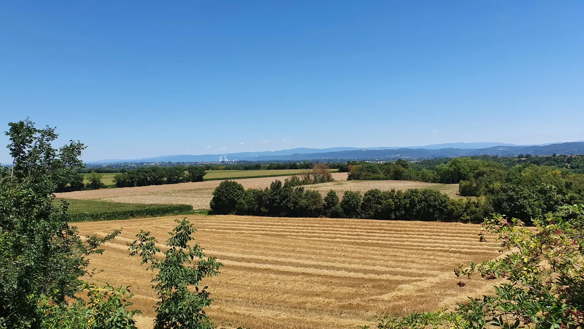
Hiking around Bourg-De-Péage offers diverse landscapes, situated between the Isère River and the foothills of the Vercors mountains. The terrain features riverside paths, the 12-hectare Bois des Naix green space, and more challenging routes in the surrounding hills and mountains. This region provides a mix of flat, accessible trails and routes with significant elevation gains. The area is characterized by its position at the confluence of the Isère River and the dramatic Vercors plateau.
Best hiking trails around Bourg-De-Péage
- The most popular hiking route is Historic center and Pizançon dam — loop in Romans-sur-Isère, a 5.5 miles (8.9 km) trail that takes 2 hours 18 minutes to complete. This moderate route explores the historic center and the Pizançon dam area.
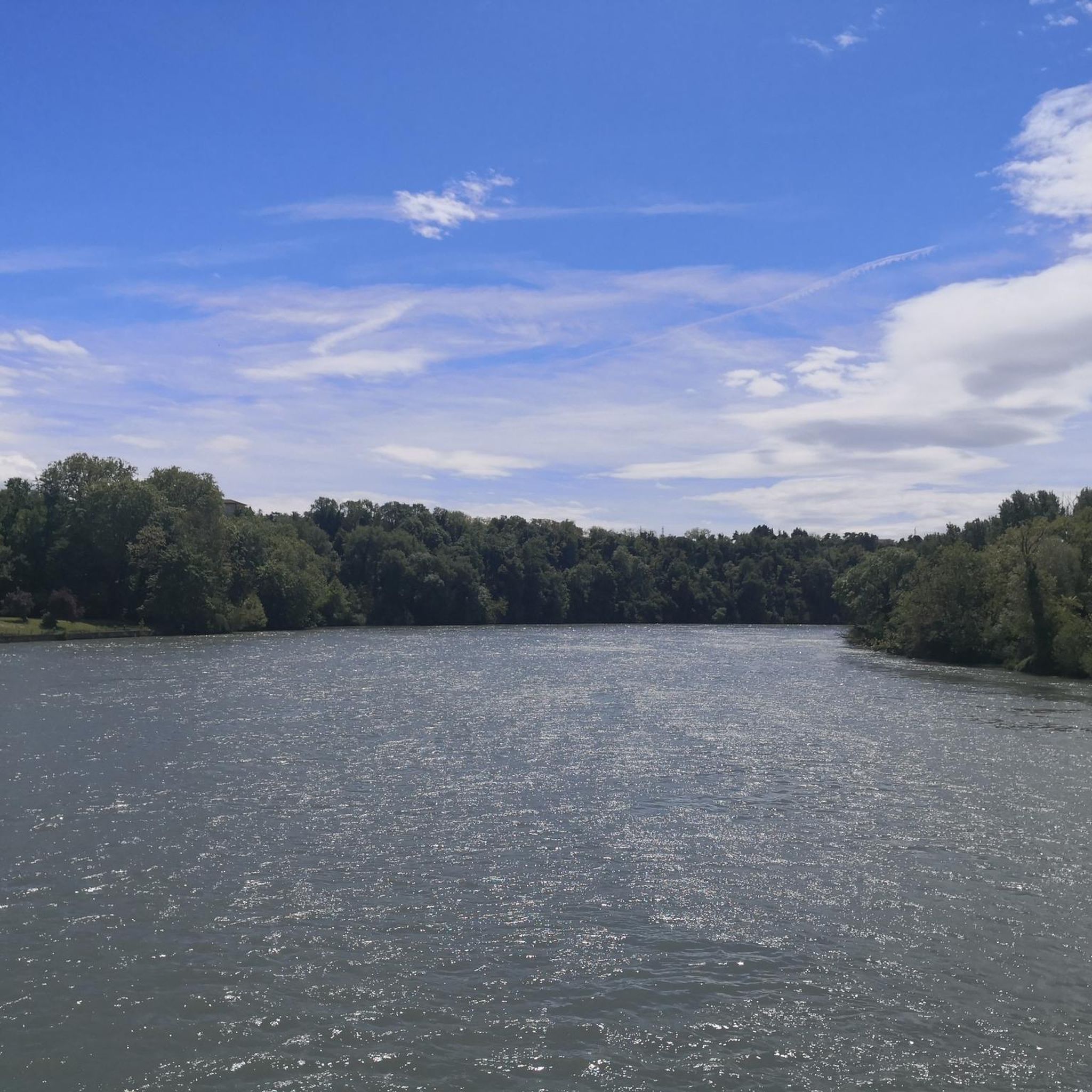
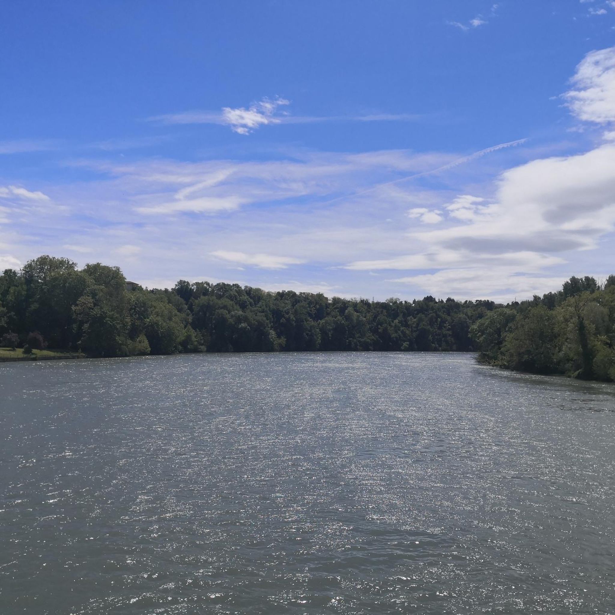
- Another top favourite among local hikers is On the banks of the Isère — loop in Romans-sur-Isère, a moderate 6.5 miles (10.5 km) path. This trail follows the banks of the Isère River, offering views of the waterway and surrounding nature.
- Local hikers also love the A Lovely Walk loop from Romans-sur-Isère, a 3.4 miles (5.4 km) trail leading through varied local scenery, often completed in about 1 hour 24 minutes.
- Hiking around Bourg-De-Péage is defined by the scenic Isère River, the green spaces of Bois des Naix, and the proximity to the Vercors mountains. The network offers options for different ability levels, from easy riverside strolls to more strenuous mountain excursions.
- The routes in Bourg-De-Péage are highly rated by the komoot community with an average score of 4.5 stars from over 300 reviews. More than 2000 hikers have used komoot to explore Bourg-De-Péage's varied terrain.
Last updated: May 20, 2026
36
hikers
9.74km
02:29
30m
30m
Moderate hike. Good fitness required. Easily-accessible paths. Suitable for all skill levels.
14
hikers
12.7km
03:18
90m
90m
Moderate hike. Good fitness required. Easily-accessible paths. Suitable for all skill levels.

Sign up for free
5.0
(1)
12
hikers
10.2km
02:39
60m
60m
Moderate hike. Good fitness required. Easily-accessible paths. Suitable for all skill levels.
11
hikers
8.40km
02:09
40m
40m
Moderate hike. Good fitness required. Easily-accessible paths. Suitable for all skill levels.
5.0
(2)
13
hikers
8.34km
02:12
80m
80m
Moderate hike. Good fitness required. Easily-accessible paths. Suitable for all skill levels.
Get access to more routes and recommendations from other explorers.
Sign up for free
Already have an account?
Our route recommendations are based on thousands of hikes, rides, and runs completed by other people on komoot.
Start today with a free account
Your next adventure awaits.
Login or Signup

Other adventures around Bourg-De-Péage

Tips from the Community

Free entry, here you can learn about the history of the Dauphiné region and the house
0
0

quiet stroll along the banks
0
0

View over one of the numerous bridges over the Isere into the town. Unfortunately I didn't have time to take a closer look at the town, but it is beautifully situated on the Isere.
0
0

A beautiful place that is definitely worth visiting. It was pouring with rain when we were there, but it was still great - the rain always passes quickly
0
1


The Pizançon dam, 147.7 meters long and 14.2 meters high, is a hydraulic dam in the Drôme located in the territory of the commune of Romans-sur-Isère. In 2021 an educational trail accessible only on foot or by bike was inaugurated there. 7 information panels allow the general public to learn more about hydroelectricity and the operation of the dam and its plant.
0
0
The Old Bridge of Romans-sur-Isère dates from before the year 1033 and is today a quite remarkable work of art. In addition it offers an excellent view of the majestic buildings of the historic center.
1
0
Frequently Asked Questions
How many hiking trails are available around Bourg-De-Péage?
There are over 140 hiking routes around Bourg-De-Péage, catering to various skill levels. This includes 46 easy routes, 91 moderate routes, and a few more challenging options.
What kind of terrain can I expect on hikes in Bourg-De-Péage?
The region offers diverse terrain, from flat, accessible paths along the Isère River to more challenging routes with significant elevation gains in the nearby hills and the foothills of the Vercors mountains. You'll find a mix of riverside strolls, forest paths in areas like the Bois des Naix, and trails offering panoramic views of the Vercors plateau and Ardèche mountains.
Are there any family-friendly hiking options in Bourg-De-Péage?
Yes, Bourg-De-Péage is well-suited for family outings. The Bois des Naix, a 12-hectare green space within the town, features 5 km of walking paths, a fitness trail, and children's games. Many of the easy routes, particularly those along the Isère River, are also suitable for families. For example, the A Lovely Walk loop from Romans-sur-Isère is an easy 5.4 km trail.
What are some notable landmarks or attractions I can see while hiking?
You can incorporate several points of interest into your hikes. The historic Historic centre of Romans-sur-Isère and the Old Bridge are easily accessible. For those venturing further, the Château de Pellafol Ruins offer historical interest and expansive views. The Barbières Cliffs Road also provides stunning mountain scenery.
Are there any circular hiking routes available?
Yes, many routes in the area are circular. For instance, the popular Historic center and Pizançon dam — loop in Romans-sur-Isère is a moderate 8.9 km loop. Another great option is On the banks of the Isère — loop in Romans-sur-Isère, a 10.5 km moderate loop that follows the river.
What do other hikers enjoy most about hiking in Bourg-De-Péage?
The hiking trails around Bourg-De-Péage are highly rated by the komoot community, with an average score of 4.5 stars from over 300 reviews. Hikers often praise the diverse landscapes, from peaceful riverside paths to scenic mountain views, and the variety of routes suitable for different fitness levels.
Can I bring my dog on the hiking trails?
While specific regulations can vary by trail and protected areas, generally, many paths in the Bourg-De-Péage region, especially those along the river and in less sensitive natural areas, are dog-friendly. It's always recommended to keep your dog on a leash and clean up after them to respect local wildlife and other hikers.
What is the best time of year to go hiking in Bourg-De-Péage?
The region is enjoyable for hiking throughout much of the year. Spring and autumn offer pleasant temperatures and beautiful scenery, with blooming flowers or vibrant fall foliage. Summer is also suitable, especially for shaded riverside walks or higher-altitude trails in the Vercors foothills. Winter hiking is possible, though some higher routes might require appropriate gear.
Are there easy hikes suitable for beginners or those looking for a relaxed stroll?
Absolutely. Bourg-De-Péage has 46 easy routes. The paths along the Isère River and within the Bois des Naix are particularly gentle and offer peaceful experiences. These trails are generally flat and well-maintained, perfect for a relaxed walk or for beginners.
Is there public transport access to hiking trailheads?
Bourg-De-Péage is well-connected locally. While specific public transport links directly to every trailhead might vary, the town itself is a good starting point, and many routes are accessible from or near urban areas. For detailed public transport information, it's advisable to check local bus schedules from Bourg-De-Péage or Romans-sur-Isère.
Where can I find parking for hiking trails?
Parking is generally available in and around Bourg-De-Péage and Romans-sur-Isère, especially near popular starting points for trails. For routes originating directly from the towns, public parking lots are usually accessible. For more remote trailheads, roadside parking might be an option, but always ensure you park legally and safely.
Are there any hikes that offer views of the Vercors mountains?
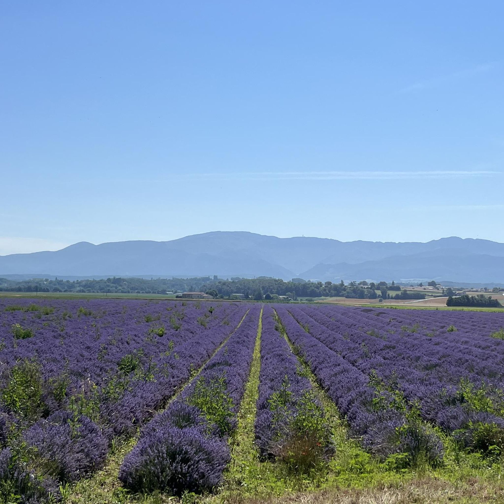
Yes, many routes in the surrounding hills and the Drôme des Collines provide expansive vistas. Hikes that climb to the heights around Bourg-De-Péage or venture towards the Vercors foothills will reward you with breathtaking panoramic views of the Vercors plateau, the Valence plain, and the Ardèche mountains.
Most popular routes around Bourg-De-Péage
Most popular attractions around Bourg-De-Péage

Get inspired with the komoot mobile app


Explore more
Browse the best Hikes in other regions.
