The best walks and hikes around Laneuveville-Devant-Nancy
4.5
(641)
4,696
hikers
508
hikes
Hiking around Laneuveville-Devant-Nancy offers a network of trails primarily characterized by its proximity to the Meurthe river and the Marne–Rhine Canal. The terrain is generally flat, with minimal elevation changes, making it accessible for various activity levels. Routes often follow waterways, providing open views and connecting local communities. The area features a mix of riverside paths, canal towpaths, and some suburban green spaces.
Best hiking trails around Laneuveville-Devant-Nancy
- The most popular hiking route is Saint Catherine Gate – Marne–Rhine Canal…
Last updated: May 25, 2026
13
hikers
Moderate hike. Good fitness required. Easily-accessible paths. Suitable for all skill levels.
5.0
(1)
12
hikers
10.1km
02:37
60m
60m
Moderate hike. Good fitness required. Easily-accessible paths. Suitable for all skill levels.

Sign up for free
3.0
(1)
9
hikers
8.47km
02:10
30m
30m
Moderate hike. Good fitness required. Easily-accessible paths. Suitable for all skill levels.
25
hikers
Easy hike. Great for any fitness level. Easily-accessible paths. Suitable for all skill levels.
5.0
(2)
8
hikers
10.7km
02:51
110m
110m
Moderate hike. Good fitness required. Easily-accessible paths. Suitable for all skill levels.
Get access to more routes and recommendations from other explorers.
Sign up for free
Already have an account?
Our route recommendations are based on thousands of hikes, rides, and runs completed by other people on komoot.
Start today with a free account
Your next adventure awaits.
Login or Signup
Popular around Laneuveville-Devant-Nancy
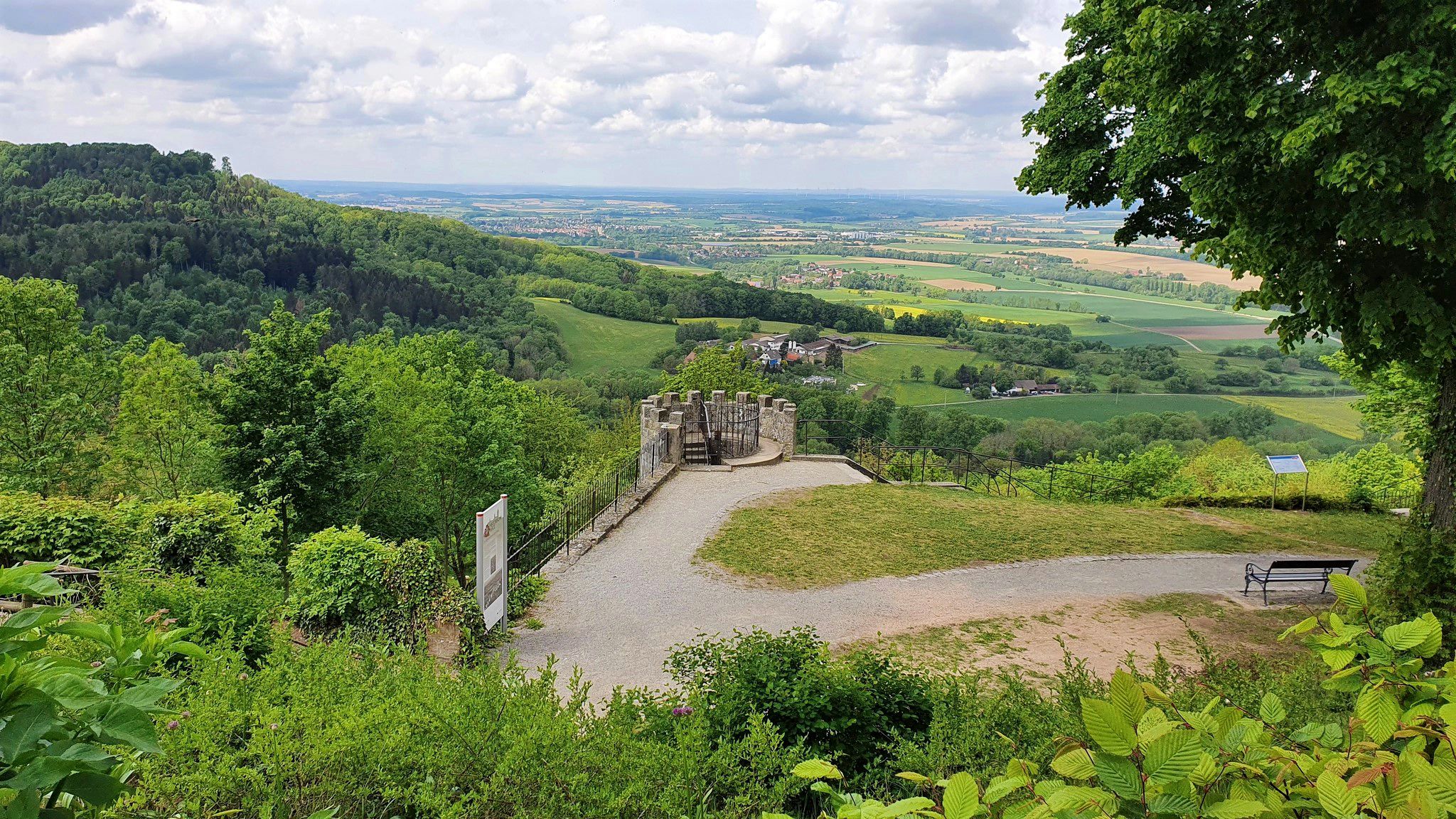

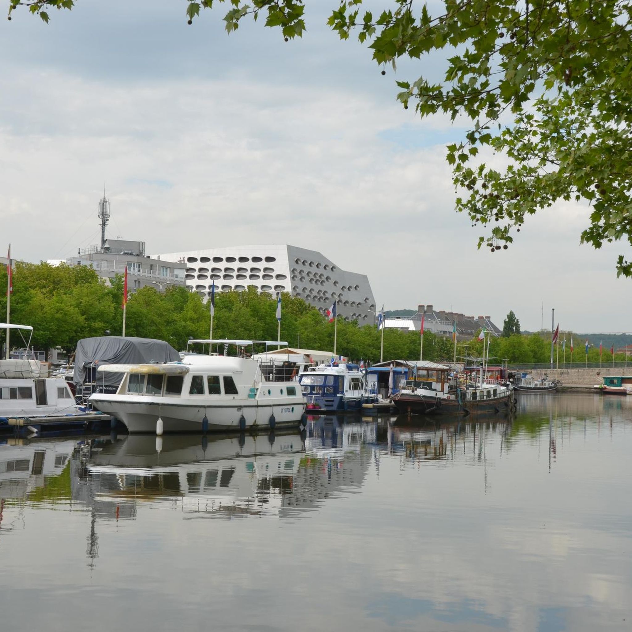
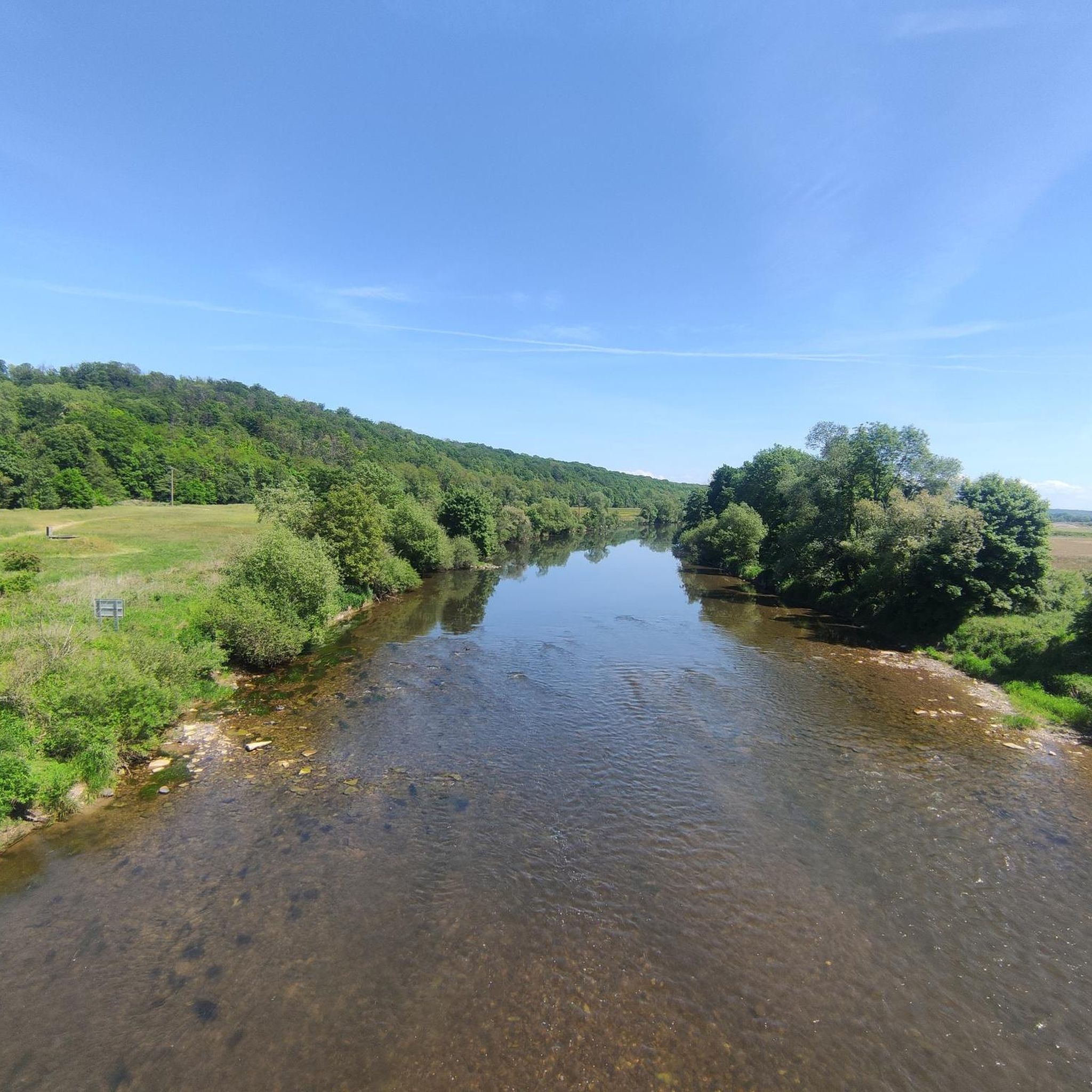
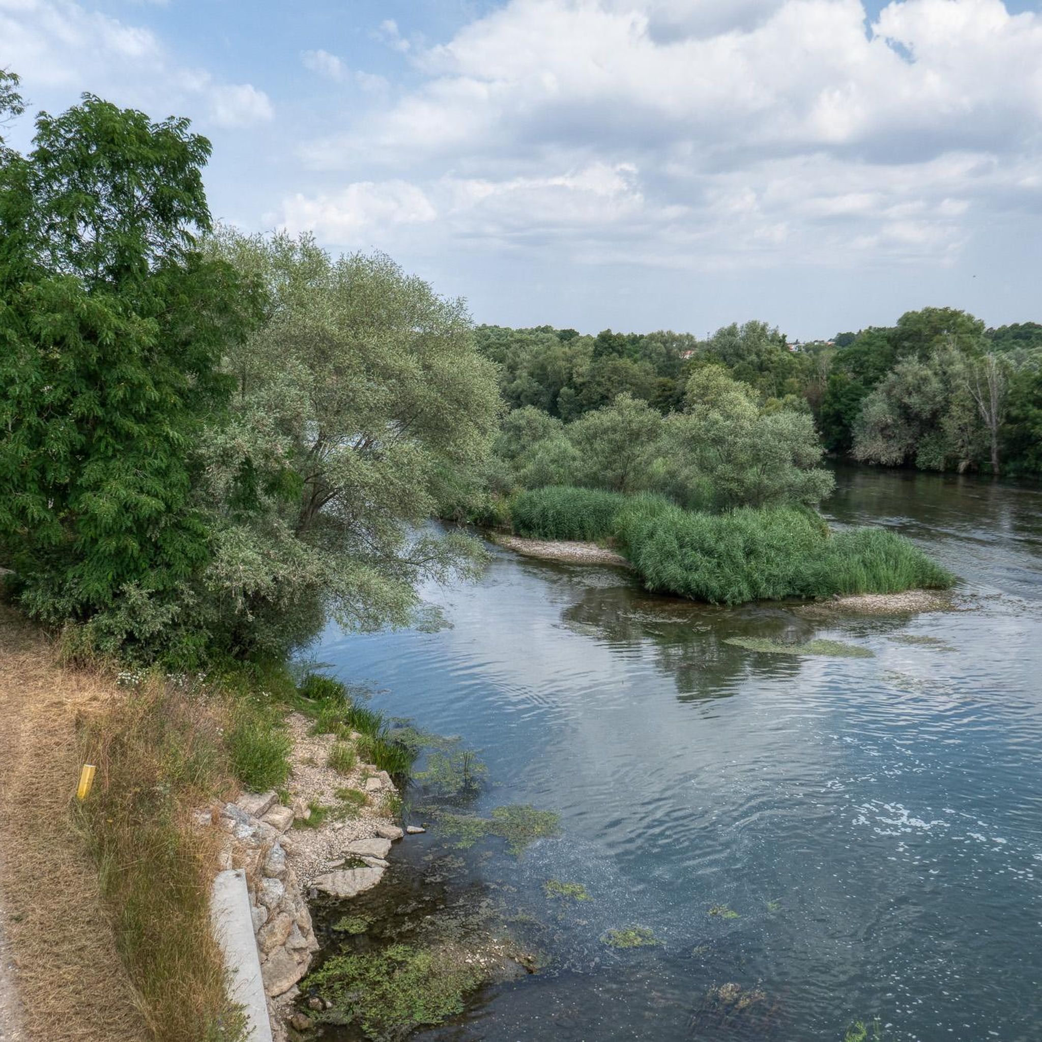
Other adventures around Laneuveville-Devant-Nancy

Tips from the Community

Since 2015, the city of Nancy has been promoting street art works that deal with the city's history. In total, there are now over 40 spread throughout the cityscape. This includes this huge fresco by Jef Aerosol on the facade of the Godron Garden. Nice perspective effect and an interesting dialogue with the Place Stanislas.
6
0


Former city gate, one of originally 8
0
0

easy route along the canal
0
0


You can see from the railing that this bridge is getting on in years. - Get over there quickly before it gets wet.
1
0

Arc the Triumph or something like that, no but also nice.
2
0
Art in a different way.
1
0
Frequently Asked Questions
How many hiking trails are available around Laneuveville-Devant-Nancy?
There are over 500 hiking routes in the Laneuveville-Devant-Nancy area, offering a wide range of options for all skill levels. Approximately half of these are rated as easy, with another half as moderate, and a smaller selection of more challenging trails.
Are there easy hiking trails suitable for beginners in Laneuveville-Devant-Nancy?
Yes, the region is known for its generally flat terrain, especially along the Meurthe river and Marne–Rhine Canal, making it ideal for beginners. An excellent easy option is the Marne–Rhine Canal – Porte Sainte-Catherine loop from Jarville-la-Malgrange, which is 6.9 km long and takes about 1 hour 46 minutes.
What kind of terrain can I expect on hikes around Laneuveville-Devant-Nancy?
The terrain is primarily flat, characterized by riverside paths along the Meurthe and towpaths alongside the Marne–Rhine Canal. You'll find open views, connecting local communities, and some suburban green spaces, with minimal elevation changes.
Are there any circular walks in the area?
Yes, many routes around Laneuveville-Devant-Nancy are circular, allowing you to start and end at the same point. Popular circular options include the Saint Catherine Gate – Marne–Rhine Canal loop from Laneuveville-devant-Nancy (14 km) or the Saint Phlin canal bridge loop from Art-sur-Meurthe (8.3 km).
What are some interesting landmarks or attractions I can see while hiking?
Many trails offer views of the Marne–Rhine Canal itself, which is a notable feature of the landscape. You can also find trails that pass near significant cultural sites like Stanislas Square or Place de la Carrière in nearby Nancy, which are easily accessible from the area's hiking network.
Are the hiking trails around Laneuveville-Devant-Nancy suitable for families with children?
Given the generally flat terrain and numerous easy routes, many trails are well-suited for families. The canal towpaths and riverside sections offer safe and enjoyable environments for walks with children. Consider shorter, easy loops for a family-friendly outing.
What do other hikers enjoy most about hiking in Laneuveville-Devant-Nancy?
The area is highly rated by the komoot community, with an average score of 4.5 stars from over 600 reviews. Hikers often praise the accessible, flat paths along the Meurthe river and Marne–Rhine Canal, the pleasant open views, and the well-maintained routes that connect local green spaces.
Are there any challenging hiking trails in the region?
While the area is predominantly flat, there are a few routes that offer slightly more challenge, often due to their length rather than significant elevation gain. Out of over 500 trails, about 15 are classified as difficult, providing options for those seeking a longer excursion.
Is it possible to hike in Laneuveville-Devant-Nancy during winter?
Yes, the generally flat and well-maintained paths along the canal and river make them accessible for winter walks, provided conditions are safe. Always check local weather forecasts and trail conditions before heading out, as some paths might be slippery or muddy after rain or snow.
Are there any trails that offer scenic viewpoints?
While the terrain is mostly flat, the open nature of the riverside and canal paths provides continuous scenic views of the waterways and surrounding landscapes. The Resting bench loop from Laneuveville-devant-Nancy, for example, offers pleasant views often incorporating these riverside sections.
What is the typical duration for a hike in Laneuveville-Devant-Nancy?
Hike durations vary widely depending on the route chosen. Many easy trails can be completed in under 2 hours, while moderate routes like the Saint Catherine Gate – Marne–Rhine Canal loop typically take around 3 hours 32 minutes. There are options for shorter strolls and longer excursions.
Are dogs allowed on the hiking trails?
Generally, dogs are welcome on most public paths and trails in the region, especially along the canal and river. However, it's always recommended to keep them on a leash, especially in more populated areas or near wildlife, and to respect local regulations regarding pet waste.
Most popular routes around Laneuveville-Devant-Nancy
Most popular attractions around Laneuveville-Devant-Nancy

Get inspired with the komoot mobile app


Explore more
Browse the best Hikes in other regions.
