The best road cycling routes around Saulxures-Lès-Nancy
4.4
(604)
14,611
riders
641
rides
Road cycling routes around Saulxures-Lès-Nancy are characterized by diverse natural landscapes, including surrounding woods and proximity to the Meurthe River and Marne-Rhine Canal. The terrain offers a mix of relatively flat paths along waterways and more moderate ascents in wooded areas. Cyclists can find routes with mostly paved surfaces, accommodating road bikes well. The area provides varied elevation, from minimal gains on shorter loops to ascents up to 515 meters on more challenging routes.
Best road cycling routes around Saulxures-Lès-Nancy
…Last updated: July 10, 2026
5.0
(1)
71
riders
61.0km
02:38
330m
330m
Moderate road ride. Good fitness required. Mostly well-paved surfaces and easy to ride.
4.9
(33)
46
riders
41.2km
01:45
220m
220m
Moderate road ride. Great for any fitness level. Some segments of this route may be unpaved and difficult to ride.

Sign up for free
28
riders
49.0km
02:14
410m
410m
Moderate road ride. Good fitness required. Mostly well-paved surfaces and easy to ride.
24
riders
Easy road ride. Great for any fitness level. Mostly well-paved surfaces and easy to ride.
34
riders
40.7km
01:53
360m
360m
Moderate road ride. Good fitness required. Mostly well-paved surfaces and easy to ride.
Get access to more routes and recommendations from other explorers.
Sign up for free
Already have an account?
Our route recommendations are based on thousands of hikes, rides, and runs completed by other people on komoot.
Start today with a free account
Your next adventure awaits.
Login or Signup
Tips from the Community


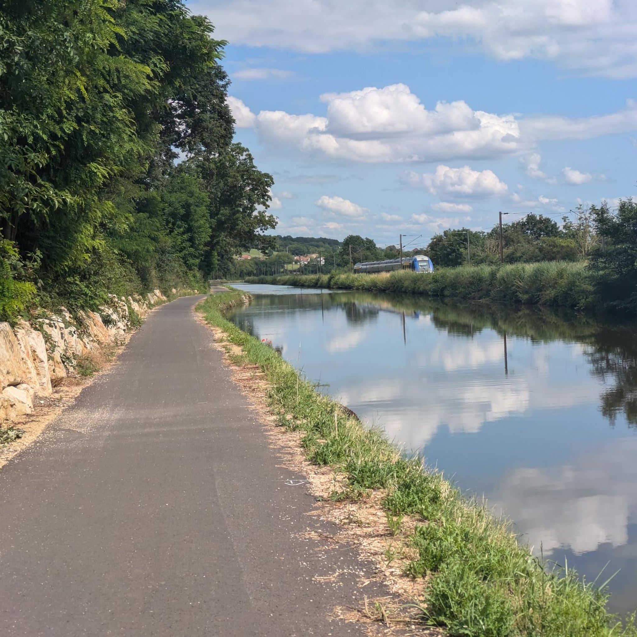
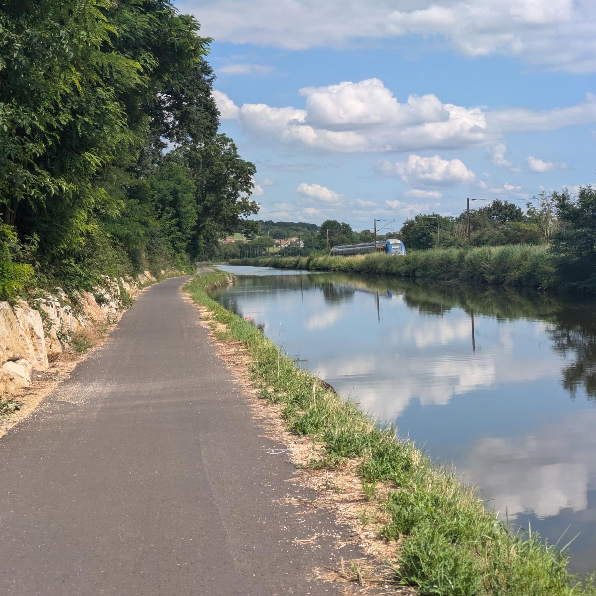
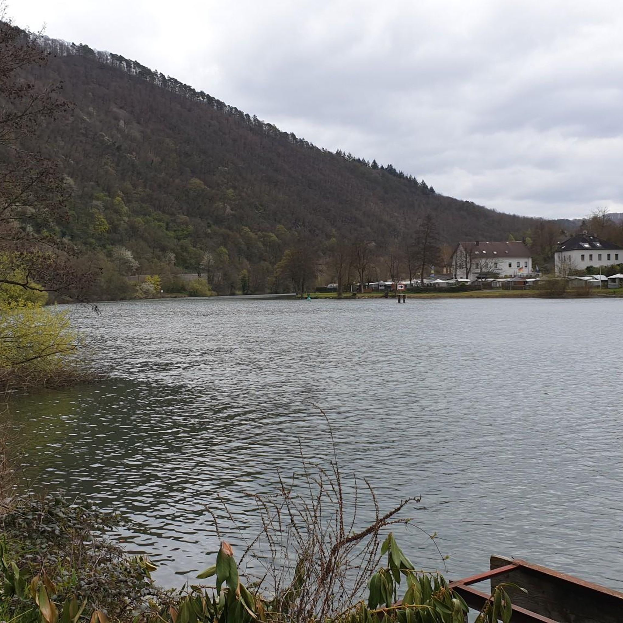
Not at all a view of the canal, it's more of the Meurthe, the canal is right next to it.
1
0

Good place to sleep before Nancy 🌠
0
0

The Varangéville marshalling yard seen from the footbridge spanning the railway tracks and the Marne-Rhine Canal.
0
0

Beautiful path in the shade with a view of the water
0
0
easy route along the canal
0
0
Frequently Asked Questions
What kind of terrain can I expect on road cycling routes around Saulxures-Lès-Nancy?
The terrain around Saulxures-Lès-Nancy offers a diverse experience for road cyclists. You'll find relatively flat paths, especially along the Meurthe River and the Marne-Rhine Canal, which are ideal for smooth rides. For those seeking more challenge, routes in the surrounding wooded areas, such as the Bois de Badonfosse, feature moderate ascents and descents. Most routes are on paved surfaces, making them well-suited for road bikes.
Are there road cycling routes suitable for beginners or families in Saulxures-Lès-Nancy?
Yes, Saulxures-Lès-Nancy offers routes suitable for various skill levels, including beginners and families. Many paths along the waterways, like the Moselle River and Marne-Rhine Canal, are largely flat and provide an easy, scenic experience. While specific 'family-friendly' routes aren't explicitly detailed, the presence of numerous easy and moderate routes suggests options for less experienced cyclists. There are over 60 easy routes available in the area.
Where can I find challenging road cycling routes near Saulxures-Lès-Nancy?
For cyclists looking for a challenge, the region offers routes with more significant elevation gains. Some routes feature ascents up to 515 meters, providing a good workout. For example, the Toul loop from Pulnoy is a moderate route with over 500 meters of elevation gain. There are nearly 100 difficult routes in the wider Saulxures-Lès-Nancy area for experienced riders.
What scenic views or landmarks can I see while road cycling in the area?
Road cycling routes around Saulxures-Lès-Nancy offer a blend of natural beauty and historical sights. You can enjoy views of the impressive Bosserville Charterhouse and the Château de Saulxures. Some routes also provide panoramic vistas over Nancy itself, particularly those near Pulnoy. The proximity to the Meurthe River and Marne-Rhine Canal means many rides feature picturesque waterways. You might also pass by the historic Stanislas Square in Nancy.
Are there any circular road cycling routes available?
Yes, many road cycling routes in the Saulxures-Lès-Nancy area are designed as loops, allowing you to start and finish at the same point. Examples include the popular Varangéville footbridge – Saint Phlin canal bridge loop from Seichamps and the Crévic – Toul loop from Pulnoy. These circular routes make planning your ride and return journey straightforward.
What is the best time of year for road cycling in Saulxures-Lès-Nancy?
The region is enjoyable for road cycling across multiple seasons. Spring and autumn offer pleasant temperatures and beautiful scenery, with autumn providing vibrant foliage in the surrounding woods. Summer is also suitable, especially for rides along shaded paths or waterways. While winter cycling is possible, conditions may vary, so checking local weather is advisable.
Can I find routes that follow rivers or canals?
Absolutely. The proximity to the Meurthe River and the Marne-Rhine Canal is a significant advantage for road cyclists in Saulxures-Lès-Nancy. Many routes, such as the Moselle Riverside Path – Avenue by the water loop from Pulnoy, follow these waterways, offering largely flat, scenic paths. These routes are often part of larger cycling networks like the 'Voie Bleue'.
What do other road cyclists say about the routes in Saulxures-Lès-Nancy?
The road cycling routes around Saulxures-Lès-Nancy are highly regarded by the komoot community, with an average rating of 4.4 stars from over 530 reviews. Cyclists often praise the diverse landscapes, the well-maintained paved surfaces, and the variety of routes catering to different fitness levels. Many appreciate the scenic views along the waterways and through the charming Lorraine countryside.
Are there any specific attractions or points of interest I should look out for?
Beyond the natural landscapes, the area offers several points of interest. You can visit the historic Stanislas Square and Place de la Carrière in Nancy, both UNESCO World Heritage sites. The Marne–Rhine Canal itself is a notable feature, and the Basilica of the Sacred Heart of Nancy is another architectural highlight.
How many road cycling routes are available in the Saulxures-Lès-Nancy area?
There are over 640 road cycling routes available around Saulxures-Lès-Nancy. This extensive network provides a wide range of options, from easy, short loops to more challenging, longer rides, ensuring there's something for every road cyclist.
Are there options for long-distance road cycling near Saulxures-Lès-Nancy?
Yes, the region connects to longer-distance cycling networks. Routes often follow the Meurthe River and Marne-Rhine Canal, which are part of extensive cycle paths like the 'Voie Bleue' (Moselle-Saône by bike). These connections allow for longer rides beyond the immediate Saulxures-Lès-Nancy area, offering opportunities for multi-day tours or extended excursions.
What are the typical durations for road cycling routes in this region?
Route durations vary significantly based on distance and elevation. Shorter, easier loops might take around an hour, while moderate routes like the Moselle Riverside Path – Avenue by the water loop from Pulnoy (42 km) typically take about 2 hours. Longer, more challenging routes can extend to 3 hours or more, such as the Varangéville footbridge – Saint Phlin canal bridge loop from Seichamps (60.9 km), which takes approximately 2 hours 37 minutes.
Most popular routes around Saulxures-Lès-Nancy
Most popular attractions around Saulxures-Lès-Nancy

Get inspired with the komoot mobile app


Explore more
Browse the best Road cycling routes in other regions.
