The best walks and hikes around Curgies
4.5
(887)
4,421
hikers
291
hikes
Hiking around Curgies offers access to the diverse landscapes of the Avesnois Regional Natural Park in northern France. The region is characterized by a mosaic of bocage meadows, deciduous forests, and winding rivers, providing varied terrain for walking. Hikers can explore hedged farmland and the extensive Mormal National Forest, a Natura 2000 site known for its oak and beech trees. This area provides a network of trails suitable for different preferences and skill levels.
Best hiking trails around Curgies
- The…
Last updated: May 13, 2026
4.3
(3)
18
hikers
10.0km
02:38
90m
90m
Moderate hike. Good fitness required. Easily-accessible paths. Suitable for all skill levels.
4.5
(2)
19
hikers
7.81km
02:06
100m
100m
Moderate hike. Good fitness required. Easily-accessible paths. Suitable for all skill levels.

Sign up for free
4.3
(4)
15
hikers
8.09km
02:09
80m
80m
Moderate hike. Good fitness required. Easily-accessible paths. Suitable for all skill levels.
4.2
(6)
16
hikers
11.1km
02:54
80m
80m
Moderate hike. Good fitness required. Easily-accessible paths. Suitable for all skill levels.
4.2
(6)
16
hikers
9.99km
02:35
60m
60m
Moderate hike. Good fitness required. Easily-accessible paths. Suitable for all skill levels.
Get access to more routes and recommendations from other explorers.
Sign up for free
Already have an account?
Our route recommendations are based on thousands of hikes, rides, and runs completed by other people on komoot.
Start today with a free account
Your next adventure awaits.
Login or Signup

Frequently Asked Questions
How many hiking trails are available around Curgies?
The Curgies area offers a wide selection of hiking opportunities, with over 270 routes recorded on komoot. These trails traverse the diverse landscapes of the Avesnois Regional Natural Park, providing options for various preferences and skill levels.
What kind of landscapes and terrain can I expect on hikes near Curgies?
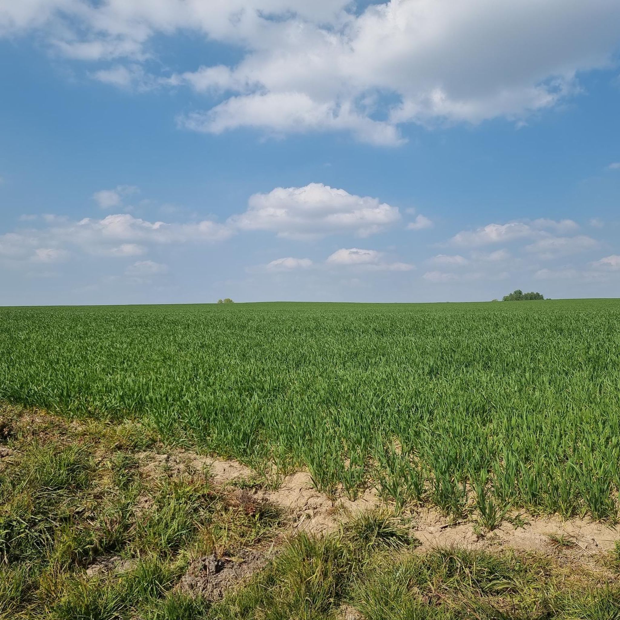
Hiking around Curgies means exploring the rich tapestry of the Avesnois Regional Natural Park. You'll encounter a charming mix of hedged farmland, known as bocage, deciduous forests, and winding rivers. The region is often called 'La Petite Suisse du Nord' due to its unspoiled, varied landscape, including the extensive Mormal National Forest with its majestic oak and beech trees.
Are there easy hiking options suitable for families or beginners near Curgies?
Yes, there are plenty of easy hiking options around Curgies. Over 110 routes are classified as easy, making them suitable for beginners or families. The Avesnois Regional Natural Park also features trails like the 'Sentier du Petit Train,' which is an easy, family-friendly option following an old railway track, perfect for a relaxed outing.
Are there any circular hiking routes around Curgies?
Many of the trails around Curgies are designed as circular routes, allowing you to start and end at the same point. For example, the Hiking loop from Jenlain is a popular circular trail traversing rural surroundings. Another option is the Hiking loop from Préseau, which guides you through the countryside near Préseau.
What natural features or landmarks can I discover while hiking near Curgies?
The region around Curgies is rich in natural and historical points of interest. You can explore the unique Le Caillou-qui-Bique, a natural monument, or wander through the serene Bois d'Angre forest. For a unique sight, look for the Quélipont Waterfall. The trails also often pass by historic elements like blue stone oratories and traditional bluestone houses.
What do other hikers enjoy most about the trails in Curgies?
The hiking trails around Curgies are highly regarded by the komoot community, with an average rating of 4.4 stars from over 800 reviews. Hikers often praise the tranquil and bucolic environment, the diverse landscapes of bocage meadows and forests, and the opportunity to connect with nature and observe local biodiversity.
Can I bring my dog on the hiking trails in Curgies?
Many trails in the Avesnois Regional Natural Park are dog-friendly, allowing you to enjoy your hike with your canine companion. However, it's always recommended to keep dogs on a leash, especially in areas with livestock or protected wildlife, and to check specific trail regulations if available.
When is the best time of year to go hiking in Curgies?
The Avesnois region offers pleasant hiking conditions throughout much of the year. Spring brings blooming wildflowers and lush greenery, while autumn showcases vibrant fall foliage in the deciduous forests. Summer is ideal for longer days, and even winter can be beautiful for crisp, quiet walks, though some paths might be muddy or require appropriate footwear.
Are there any historical points of interest along the hiking routes?
Yes, the region integrates history into its landscape. The Bunker in Northern France – Old Station loop from Curgies specifically leads through local historical points of interest. You might also encounter traditional water mills, blue stone oratories, and remnants of old railway tracks, like the 'Sentier du Petit Train,' which offer glimpses into the area's past.
Where can I find more information about the Avesnois Regional Natural Park?
For more detailed information about the Avesnois Regional Natural Park and its extensive network of trails, you can visit the official tourism website: Avesnois Regional Natural Park. They provide insights into the park's natural and cultural heritage.
Are there any cafes or pubs near the hiking trails in Curgies?
While Curgies itself is a smaller commune, the surrounding villages and towns within the Avesnois region often have local cafes and pubs where you can refresh after a hike. For example, Le Chalet Du Garde is a cafe that might be accessible from some routes. It's advisable to check local amenities in nearby localities like Jenlain, Préseau, or Saultain before your trip.
Most popular attractions around Curgies

Get inspired with the komoot mobile app


Explore more
Browse the best Hikes in other regions.
