The best walks and hikes around Wargnies-Le-Petit
4.5
(1158)
5,265
hikers
366
hikes
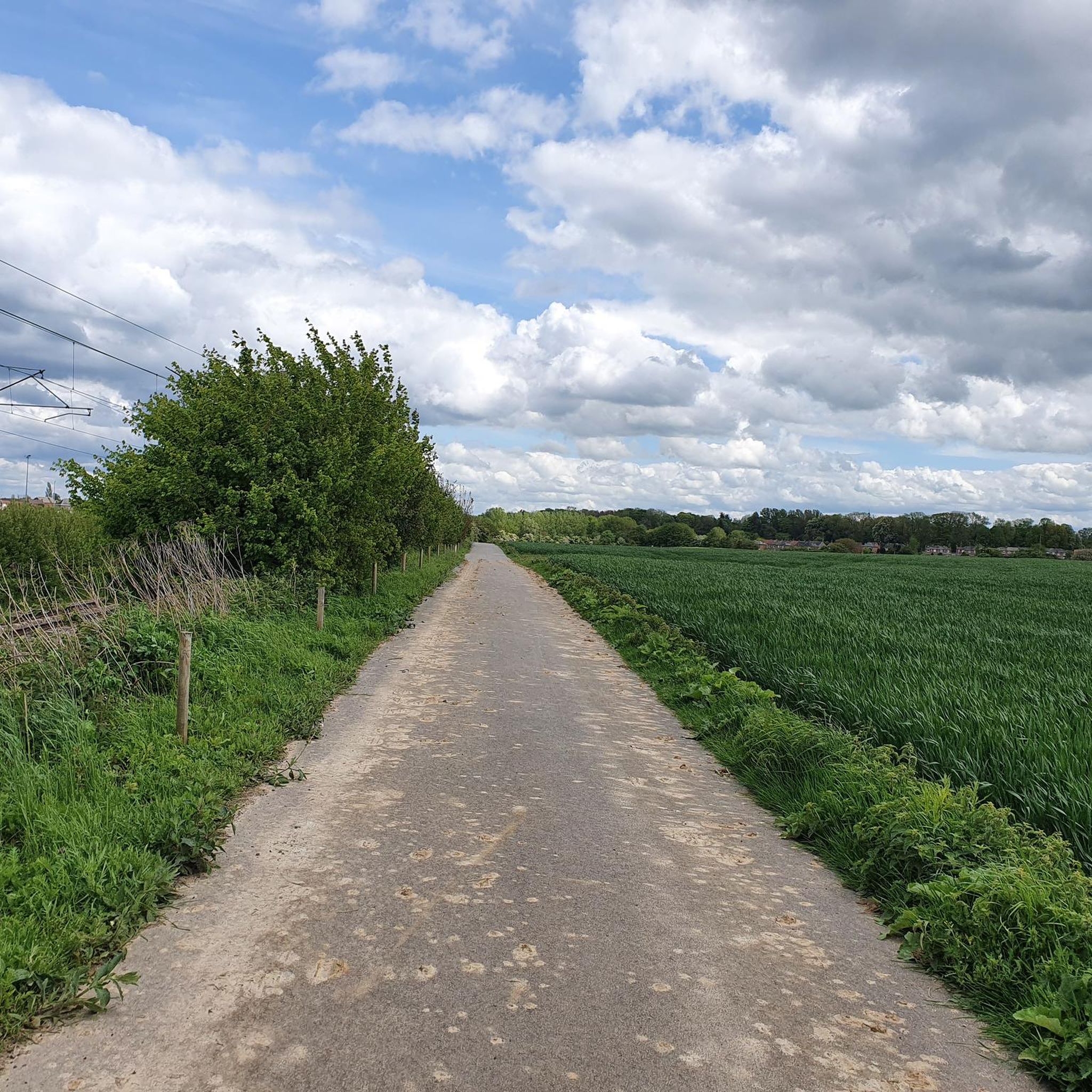
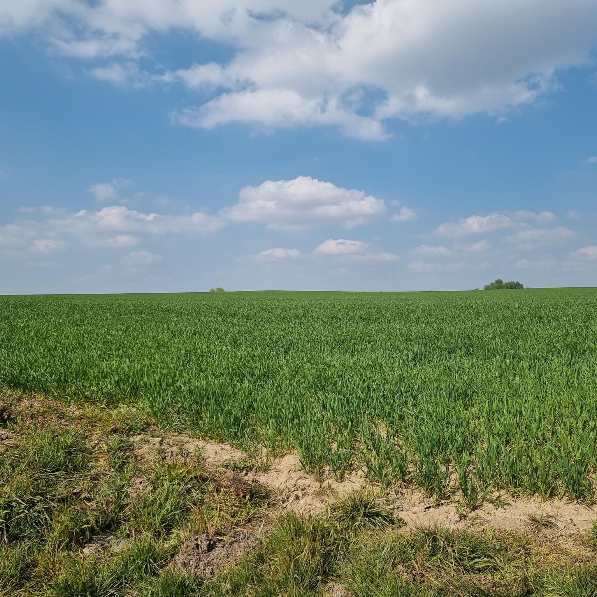
Hiking around Wargnies-Le-Petit offers a network of trails through a landscape characterized by gentle hills, agricultural fields, and pockets of woodland. The region features natural water elements, including the notable Quélipont Waterfall, providing varied scenery for outdoor activities. The area is known for its charming "bocage avesnois" with hedged paths, and the village sits above the valley of the Aunelle river. Elevation changes are generally modest, making many routes accessible for a range of abilities.
Best hiking trails around Wargnies-Le-Petit
…Last updated: October 26, 2026
4.3
(7)
31
hikers
12.1km
03:11
100m
100m
Moderate hike. Good fitness required. Easily walkable paths.
3.5
(2)
15
hikers
6.57km
01:45
70m
70m
Easy hike. Easily walkable paths.

4.0
(3)
9
hikers
11.2km
02:58
110m
110m
Moderate hike. Good fitness required. Easily walkable paths.
3.0
(2)
10
hikers
Moderate hike. Good fitness required. Easily walkable paths.
5.0
(1)
8
hikers
Moderate hike. Good fitness required. Easily walkable paths.
Get access to more routes and recommendations from other explorers.
Already have an account?
Our route recommendations are based on thousands of hikes, rides, and runs completed by other people on komoot.
Start today with a free account
Your next adventure awaits.

Tips from the Community

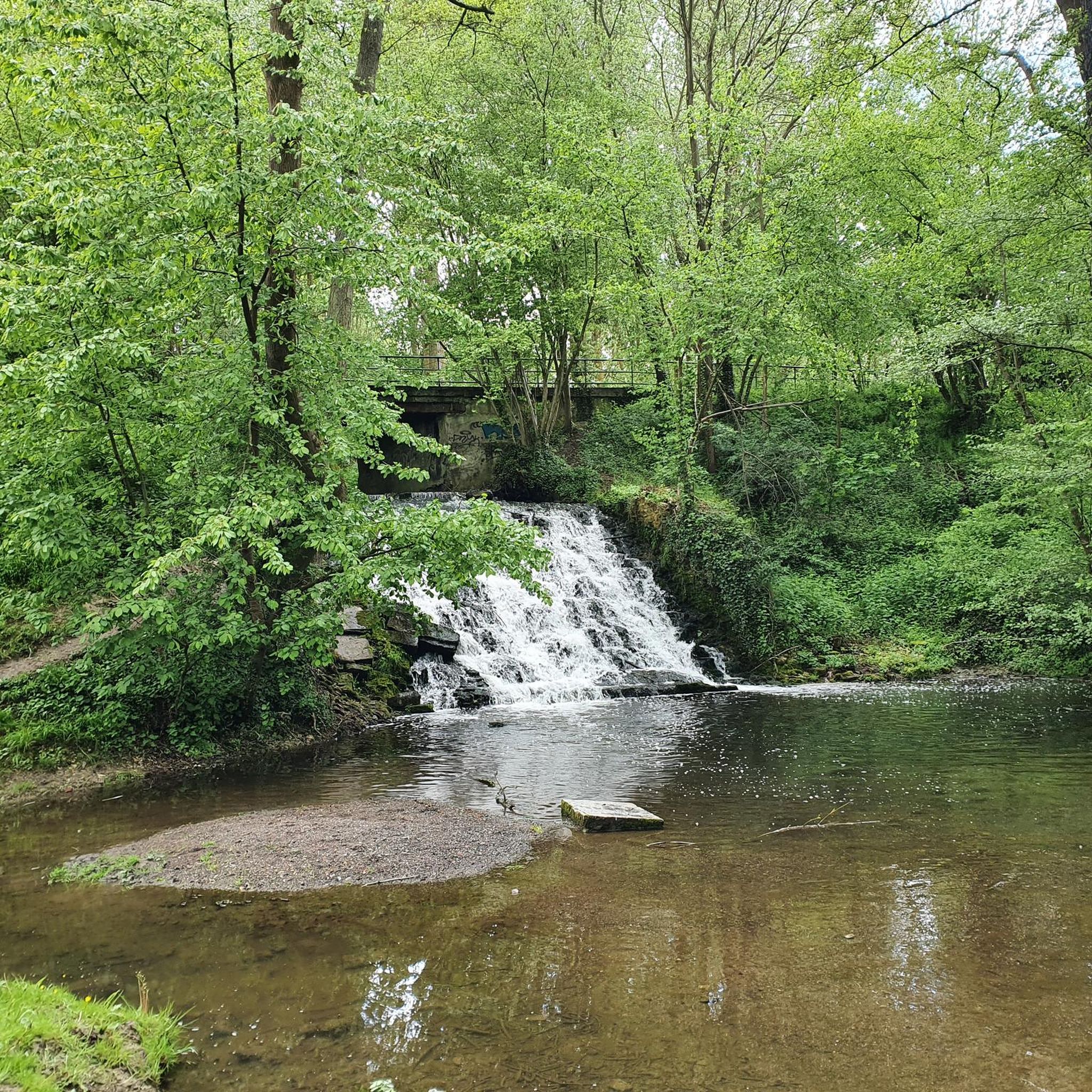
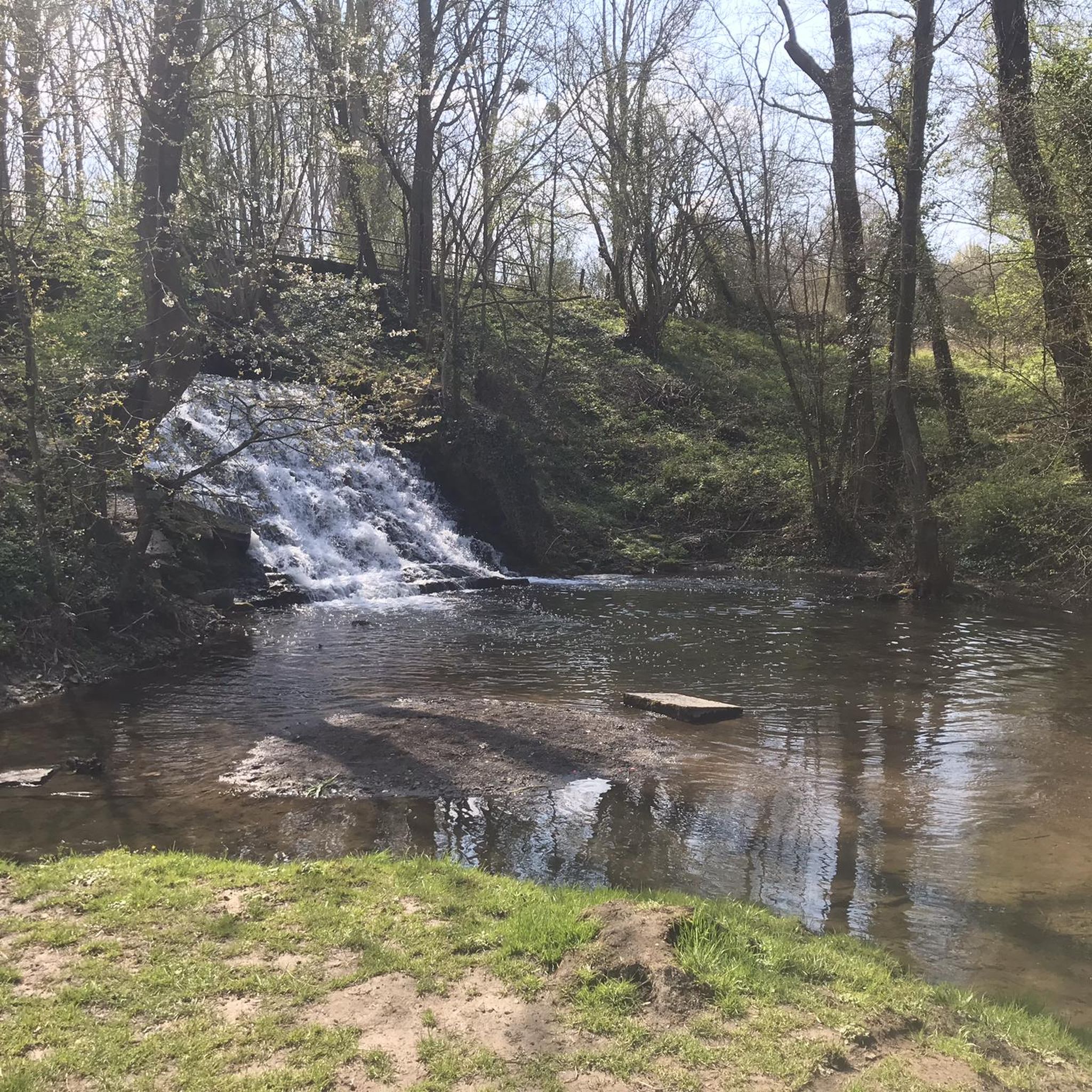
The Aunelle stream flows here under this bridge after the waterfall of Quelipont.
1
0
Statue in Bettrechies for the victims of the war
1
0

Proof that you don't need to go to the ends of the earth to find hidden treasures! 💎
1
0

Very nice little spot at the bend of a jogging
1
0

Cemetery where German soldiers who died during the First World War are buried. http://www.mairie-frasnoy.fr/cimetiere-allemand.html
0
0


Frequently Asked Questions
How many hiking trails are available around Wargnies-Le-Petit?
There are over 330 hiking trails around Wargnies-Le-Petit, offering a wide range of options from easy strolls to more challenging routes. This includes 124 easy, 199 moderate, and 13 difficult trails.
Are there any easy, family-friendly hikes in the area?
Yes, Wargnies-Le-Petit features many easy trails suitable for families. The region's gentle hills and woodland paths make for pleasant walks. An example is the Quélipont Waterfall – Quélipont Waterfall loop from Preux-au-Sart, which is 4.0 miles (6.5 km) and considered easy.
Can I find circular hiking routes near Wargnies-Le-Petit?
Many of the trails around Wargnies-Le-Petit are designed as circular routes, allowing you to start and end at the same point. For instance, the Quélipont Waterfall loop from Wargnies-le-Petit is a moderate 5.2 miles (8.4 km) circular path through local woodlands and countryside.
Are dogs allowed on the hiking trails?
Most hiking trails in the Wargnies-Le-Petit area are dog-friendly, though it's always recommended to keep dogs on a leash, especially near agricultural fields or wildlife areas. Be mindful of local regulations and respect private property.
What is the best time of year to go hiking in Wargnies-Le-Petit?
The best time to hike in Wargnies-Le-Petit is typically from spring through autumn (April to October) when the weather is mild and the natural scenery is at its most vibrant. Winter hikes are also possible, but trails can be muddy or slippery, especially around the waterfall.
Are there any waterfalls to see on the hikes?
Yes, the notable Quélipont Waterfall is a key natural feature in the region. Several routes incorporate it, such as the Quélipont Waterfall – Quélipont Waterfall loop from Wargnies-le-Petit, which is a 4.4 miles (7.1 km) trail leading through rural landscapes.
What kind of scenery can I expect on the trails?
Hiking around Wargnies-Le-Petit offers varied scenery, including gentle hills, expansive agricultural fields, and peaceful pockets of woodland. You'll also encounter natural water elements, most notably the Quélipont Waterfall.
What do other hikers say about the trails in Wargnies-Le-Petit?
The trails in Wargnies-Le-Petit are highly rated by the komoot community, with an average score of 4.4 stars from over 900 reviews. Hikers often praise the well-maintained paths, the tranquility of the countryside, and the beauty of the Quélipont Waterfall.
Are there any historical sites or attractions near the hiking routes?
Yes, the region has several interesting sites. You can explore the Potelle Castle, which is featured on the challenging Quélipont Waterfall – Potelle Castle loop from Wargnies-le-Petit. Other nearby attractions include the Le Caillou-qui-Bique natural monument and the Le Quesnoy Ramparts.
What is the typical length and duration of hikes in this area?
Hikes in Wargnies-Le-Petit vary in length. Many popular routes are between 4 to 6 miles (6 to 10 km), taking approximately 1.5 to 3 hours to complete. Longer, more challenging options like the Quélipont Waterfall loop from Wargnies-le-Petit can be up to 7 miles (11.2 km) and take around 3 hours.
Is parking available at the trailheads?
Parking is generally available near the starting points of many popular trails, especially in or near the villages like Wargnies-le-Petit and Preux-au-Sart. It's advisable to check specific route details on komoot for precise parking information.
Are there any places to eat or drink along the trails?
While many trails wind through rural areas, you may find small cafes or eateries in the nearby villages. For example, Le Chalet Du Garde is a cafe that could be a convenient stop depending on your chosen route.
Most popular routes around Wargnies-Le-Petit
Most popular attractions around Wargnies-Le-Petit

Get inspired with the komoot mobile app


Explore more
Browse the best Hikes in other regions.
