The best road cycling routes around La Flamengrie
4.6
(76)
1,550
riders
200
rides
Road cycling around La Flamengrie, located in the Hauts-de-France region, offers diverse routes through picturesque rural landscapes. The area is characterized by its tranquil, open countryside, featuring numerous farms and hedged farmland typical of the Thiérache region. Terrain around La Flamengrie presents gentle undulations, with elevations ranging from 171 to 232 meters, providing varied cycling experiences on predominantly paved surfaces. This setting makes it suitable for road cyclists seeking routes with moderate elevation changes.
Best road cycling routes around La…
Last updated: July 10, 2026
19
riders
54.3km
02:25
210m
210m
Moderate road ride. Good fitness required. Some segments of this route may be unpaved and difficult to ride.
5.0
(1)
11
riders
47.6km
02:03
310m
310m
Moderate road ride. Good fitness required. Mostly well-paved surfaces and easy to ride.

Sign up for free
12
riders
Easy road ride. Great for any fitness level. Mostly well-paved surfaces and easy to ride.
4.8
(4)
11
riders
37.1km
01:32
170m
170m
Easy road ride. Great for any fitness level. Mostly well-paved surfaces and easy to ride.
10
riders
34.7km
01:29
180m
180m
Easy road ride. Great for any fitness level. Mostly well-paved surfaces and easy to ride.
Get access to more routes and recommendations from other explorers.
Sign up for free
Already have an account?
Our route recommendations are based on thousands of hikes, rides, and runs completed by other people on komoot.
Start today with a free account
Your next adventure awaits.
Login or Signup

Tips from the Community

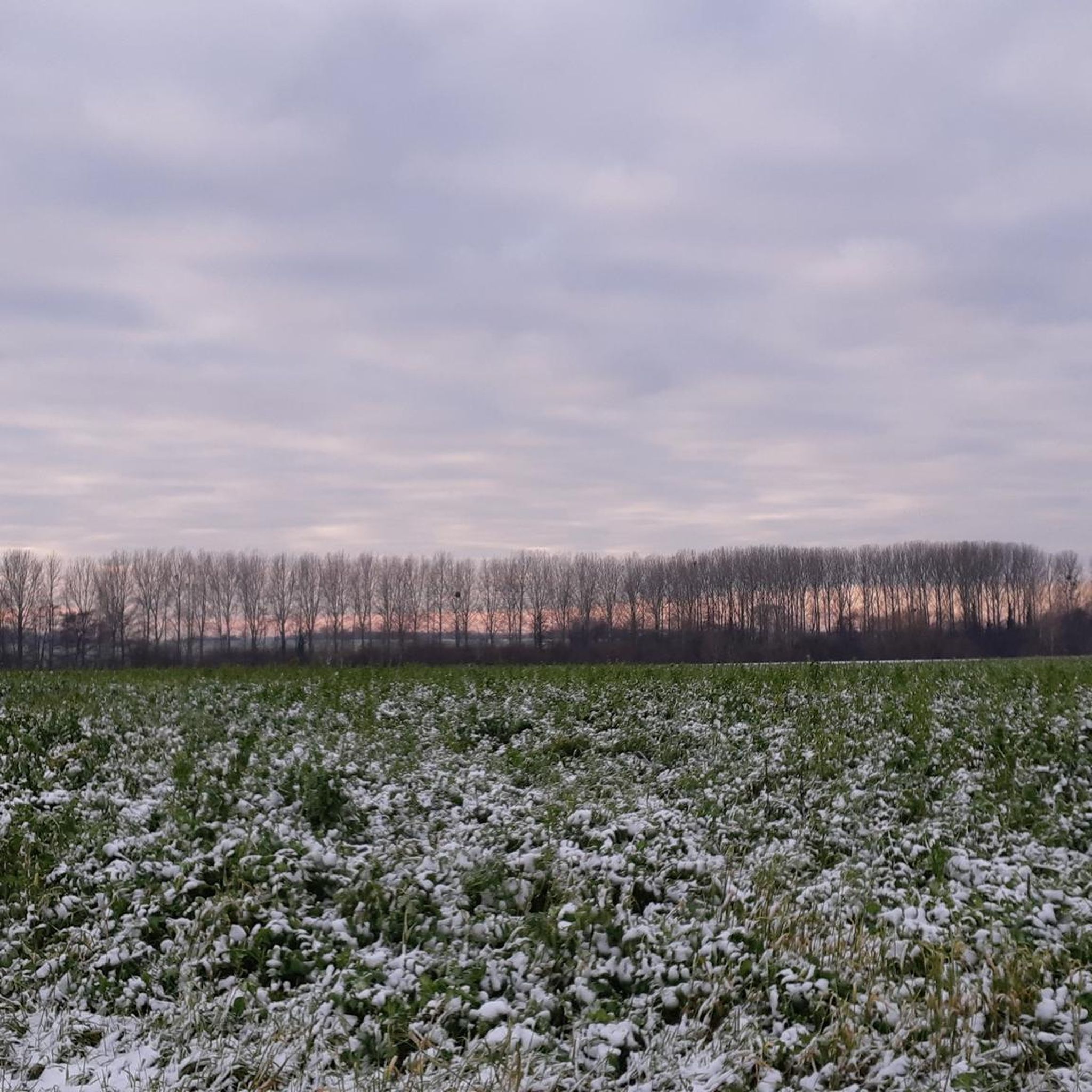
Great trail. Beautiful forest.
0
0

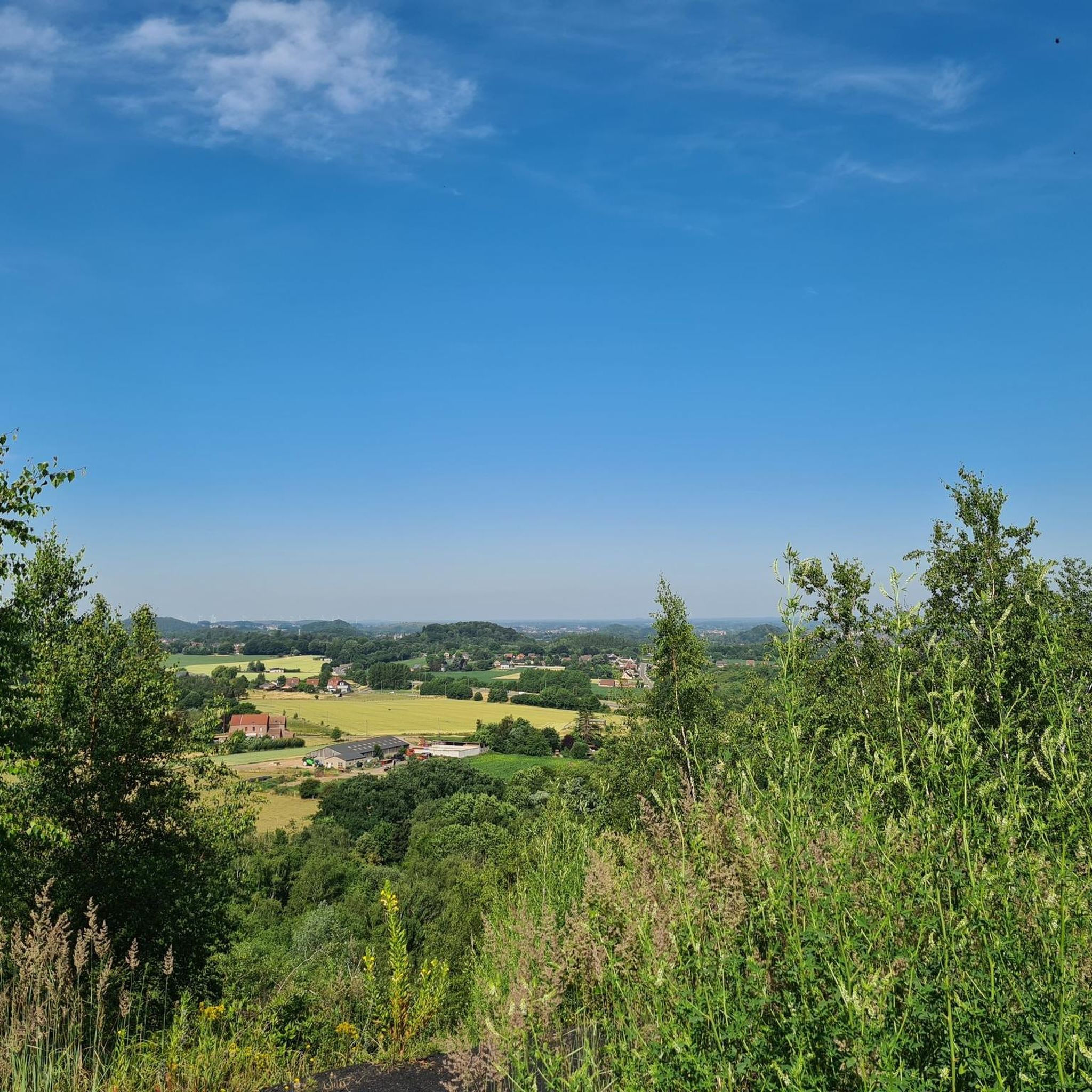
A place just outside the village of Angreau in Belgium, heading towards Roisin. Just for the pleasure of the eyes, magnificent.
0
0

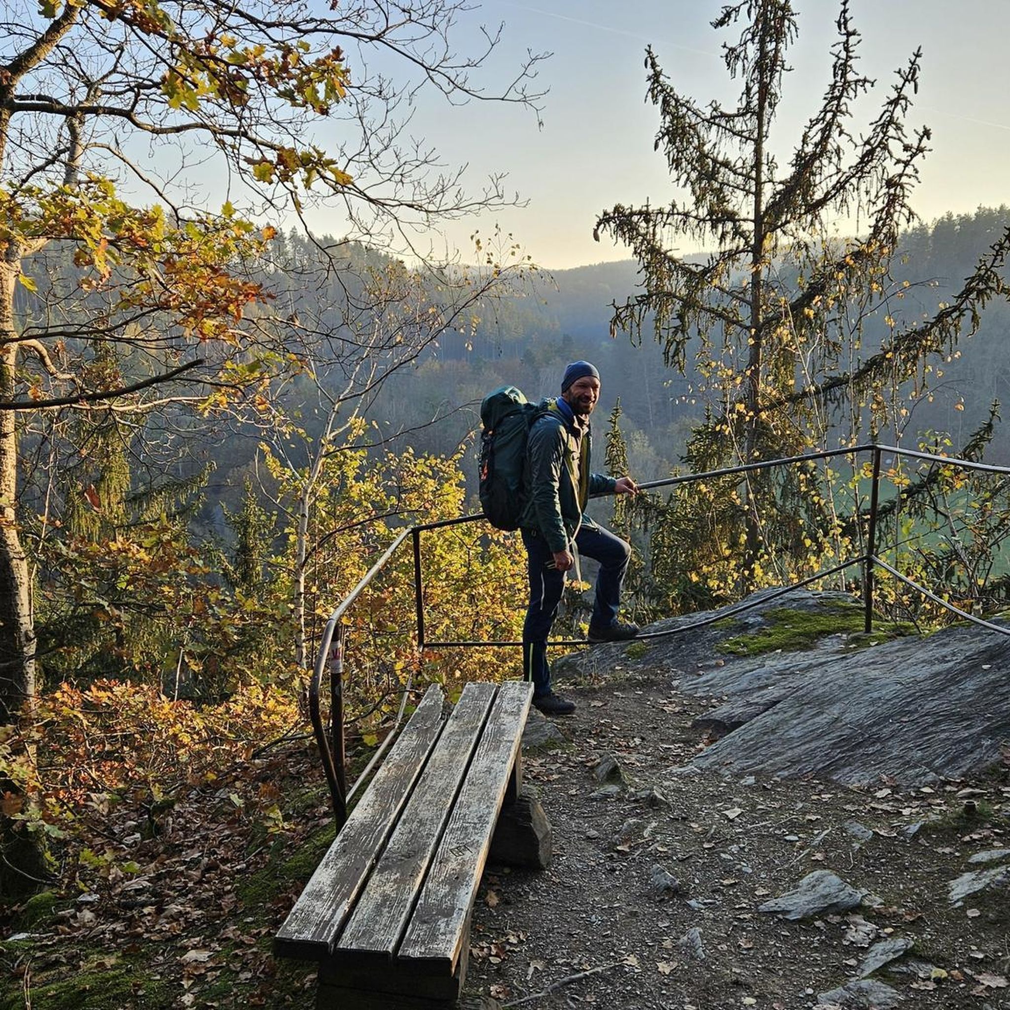
Splendid little walk. Easy and marked paths. Beautiful views of the wildlife.
1
0

Very nice little spot at the bend of a jogging
1
0
Yes and no. Nice because they agreed to make me a sandwich for the road (while on gravel), but less nice because it's with meat or nothing... Chelou. Well, nothing. THANKS. That said, we eat very well there (restaurant style, even without meat).
0
0

Inn at the crossroads of the forest allowing you to take a break.
1
0

We didn't know how to test it, there was a family party... ;-)
0
0
Frequently Asked Questions
How many road cycling routes are available around La Flamengrie?
La Flamengrie offers a wide selection of road cycling routes, with over 190 options to explore. These routes cater to various skill levels, from easy to challenging.
What kind of terrain can I expect on road cycling routes in La Flamengrie?
The terrain around La Flamengrie is characterized by picturesque rural landscapes, featuring hedged farmland and gentle undulations. Elevations typically range from 171 to 232 meters, providing varied cycling experiences on predominantly paved surfaces. You'll find a mix of open countryside and some routes that pass through forested areas.
Are there easy road cycling routes suitable for beginners in La Flamengrie?
Yes, there are approximately 49 easy road cycling routes around La Flamengrie. An example of an easy route that includes segments through forested areas and open countryside is the Singletrack trail in the forest – Le Pissotiau loop from La Flamengrie.
Can I find challenging road cycling routes near La Flamengrie?
For more experienced cyclists, there are several challenging routes available. While only 4 are explicitly rated 'difficult' in our guide, many 'moderate' routes offer significant elevation gain and distance. The broader Thiérache region, which La Flamengrie is part of, features routes like the 'Axe Vert de la Thiérache – Familistère of Guise loop from Buironfosse' and 'Château de Trélon – Church of Liessies loop from Wignehies', which require very good fitness.
What interesting landmarks or attractions can I visit along road cycling routes?
The region is rich in cultural and historical sites. You can incorporate stops at places like the Familistère of Guise, a significant 19th-century social palace. Additionally, routes may pass by charming villages and historical sites, including fortified churches. For specific landmarks, consider routes that lead past Gussignies Castle or Potelle Castle.
Are there any routes that feature natural water features like waterfalls?
Yes, some routes in the vicinity offer natural water features. For instance, the Path with small bridge – Côte de la Cascade loop from Bry is a moderate route that includes a small bridge and hints at a cascade. You can also find the Quélipont Waterfall as a highlight in the broader area.
Are there family-friendly road cycling options in the area?
Many routes in the La Flamengrie area are suitable for families, especially those with gentle undulations and predominantly paved surfaces. The 'Familistère of Guise – Axe Vert de la Thiérache loop from Buironfosse' is noted as suitable for all skill levels, making it a good option for families looking for a moderate ride.
What do other road cyclists enjoy the most about road cycling in La Flamengrie?
The area is highly rated by the komoot community, with an average score of 4.6 stars from over 60 reviews. Cyclists often praise the tranquil, open countryside, the varied terrain with gentle undulations, and the predominantly paved surfaces that make for enjoyable rides. The region's rural charm and the ability to combine cycling with cultural stops are also frequently highlighted.
Are there any circular road cycling routes around La Flamengrie?
Yes, many of the road cycling routes around La Flamengrie are designed as loops, allowing you to start and end in the same location. A popular example is the Roadbike loop from La Flamengrie, which covers 29.6 miles (47.6 km) through the region's rural landscapes.
Is La Flamengrie connected to any larger cycling networks?
Yes, the region around La Flamengrie is integrated into France's extensive cycling network, notably being part of the wider Scandibérique route. This offers opportunities for longer tours and exploration beyond the immediate vicinity. You can find more information about cycling the Scandibérique route on the Hauts-de-France Tourism website.
What is the best time of year for road cycling in La Flamengrie?
The Hauts-de-France region generally offers pleasant cycling conditions from spring through early autumn. The rural landscapes are particularly beautiful during these seasons. While specific seasonal weather can vary, these months typically provide milder temperatures and less precipitation, making for more enjoyable rides.
Are there options for road cyclists to explore forested areas?
While La Flamengrie is known for its open countryside, some routes do include segments through forested areas. For example, the Singletrack trail in the forest – Le Pissotiau loop from La Flamengrie offers a mix of forest and open landscapes. The larger Forest of Mormal, described as the biggest forest in the region, also provides extensive paths for exploration within a reasonable distance.
Can I find routes that cross into Belgium from La Flamengrie?
Given La Flamengrie's proximity to the Belgian border, it's possible to find routes that extend into the neighboring country. The broader Thiérache countryside is a cross-border region, and routes like the Château de Belœil – Château de Beloeil loop from Gussignies, which is a significant distance, can lead you towards Belgian attractions like Château de Belœil. For more on cycling in the cross-border Thiérache, you might consult Visit Wallonia.
Most popular routes around La Flamengrie
Most popular attractions around La Flamengrie

Get inspired with the komoot mobile app


Explore more
Browse the best Road cycling routes in other regions.
