The best walks and hikes around Saint-Waast
4.5
(1157)
5,342
hikers
390
hikes
Hiking around Saint-Waast offers access to a network of trails traversing the region's gentle valleys and rolling countryside. The landscape features varied terrain, including paths near water features like the Quélipont Waterfall and routes through local hamlets. Elevation changes are generally moderate, making many routes accessible for various fitness levels.
Best hiking trails around Saint-Waast
- The most popular hiking route is Brasserie Au Baron – Brasserie Au Baron loop from Bettrechies, a 3.6 miles (5.7 km) trail that takes…
Last updated: October 12, 2026
4.4
(7)
36
hikers
5.67km
01:32
70m
80m
Easy hike. Great for any fitness level. Easily-accessible paths. Suitable for all skill levels.
16
hikers
10.1km
02:38
70m
70m
Moderate hike. Good fitness required. Easily-accessible paths. Suitable for all skill levels.

12
hikers
5.76km
01:31
50m
50m
Easy hike. Great for any fitness level. Easily-accessible paths. Suitable for all skill levels.
5.0
(1)
5
hikers
5.80km
01:32
50m
50m
Easy hike. Great for any fitness level. Easily-accessible paths. Suitable for all skill levels.
5.0
(1)
4
hikers
21.4km
05:32
120m
130m
Hard hike. Very good fitness required. Easily-accessible paths. Suitable for all skill levels.
Get access to more routes and recommendations from other explorers.
Already have an account?
Our route recommendations are based on thousands of hikes, rides, and runs completed by other people on komoot.
Start today with a free account
Your next adventure awaits.
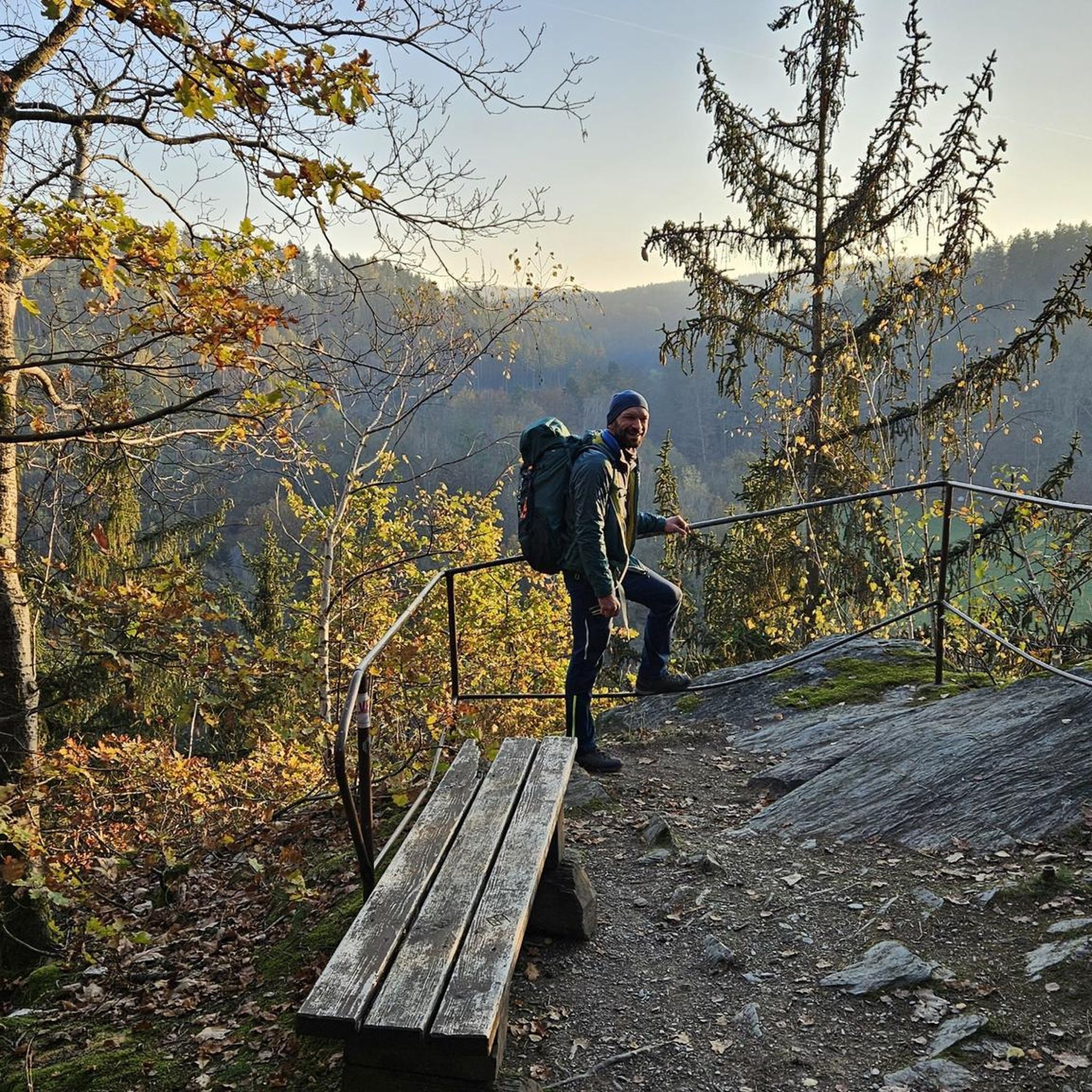
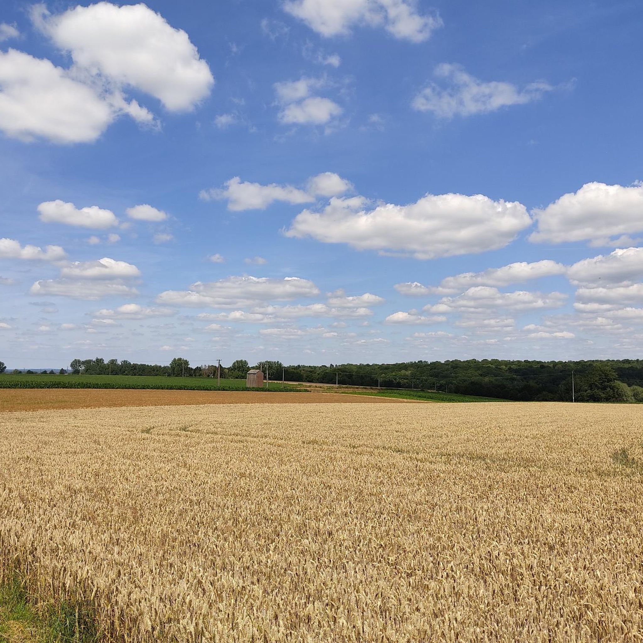
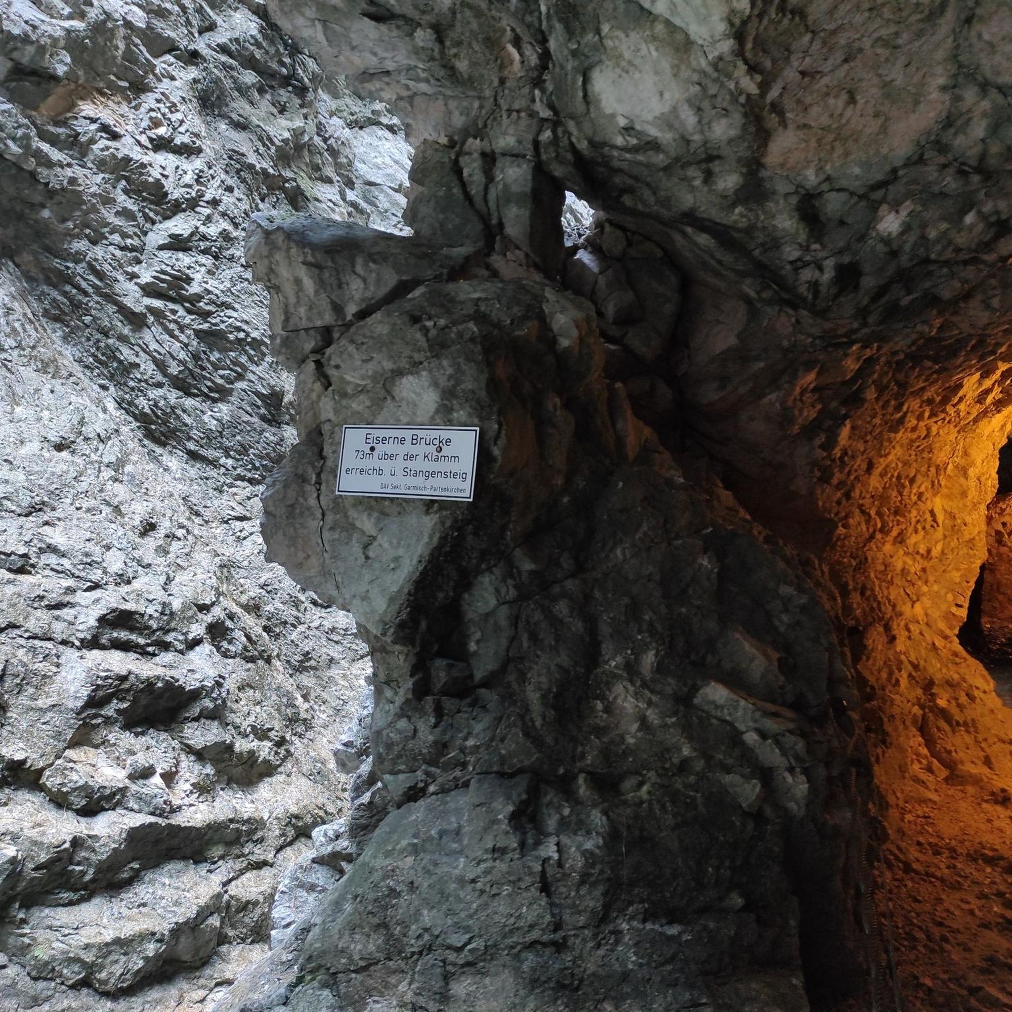
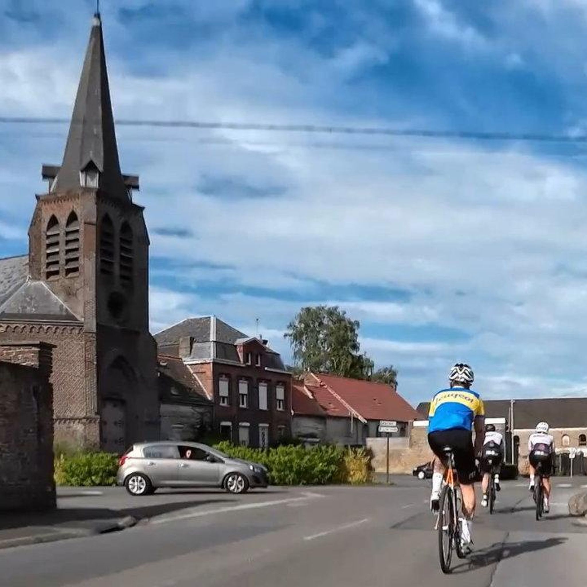

Tips from the Community

Monument erected in 1872 by the Simenon Lustpemant family after their 2 sons, Charles and Edouard, returned from the war
1
0
The Aunelle stream flows here under this bridge after the waterfall of Quelipont.
1
0
Statue in Bettrechies for the victims of the war
1
0


Proof that you don't need to go to the ends of the earth to find hidden treasures! 💎
1
0

Very nice little spot at the bend of a jogging
1
0
Frequently Asked Questions
How many hiking trails are available around Saint-Waast?
There are over 340 hiking routes in the Saint-Waast area, offering a wide variety of options for different skill levels and preferences. This includes more than 120 easy routes, over 200 moderate routes, and a selection of more challenging trails.
What kind of terrain can I expect on hikes near Saint-Waast?
The hiking trails around Saint-Waast primarily feature gentle valleys and rolling countryside. You'll find diverse terrain, including paths near water features and routes that pass through local hamlets, with generally moderate elevation changes.
Are there any hikes that feature waterfalls?
Yes, the region is known for its water features. You can explore the Quélipont Waterfall – Quélipont Waterfall loop from Amfroipret, a moderate 6.1-mile (9.9 km) path that highlights the scenic Quélipont Waterfall itself.
Are there family-friendly hiking options in Saint-Waast?
Many of the routes around Saint-Waast are suitable for families due to their gentle nature. An excellent option is the Saint-Waast-la-Vallée Trail – Le Pissotiau loop from Saint-Waast, an easy 3.4-mile (5.4 km) trail that can be completed in under 1.5 hours.
What do other hikers say about the trails in Saint-Waast?
The komoot community highly rates the trails around Saint-Waast, with an average score of 4.5 stars from over 900 reviews. Hikers often praise the varied terrain, the accessibility of routes, and the charming local scenery.
Are there any circular walks available?
Yes, many of the trails in Saint-Waast are designed as circular routes, allowing you to start and end at the same point. For example, the Brasserie Au Baron – Brasserie Au Baron loop from Bettrechies is an easy 3.6-mile (5.7 km) circular trail.
Can I find hikes that pass by historical sites or castles?
Absolutely. The region around Saint-Waast is rich in history. You can find trails that lead near impressive structures like Gussignies Castle or Marguerite of Burgundy Castle. These often offer a glimpse into the area's past.
Are there any longer, more challenging hikes for experienced hikers?
Yes, for those seeking a greater challenge, there are difficult routes available. The Le Pissotiau – Saint-Waast-la-Vallée Trail loop from Saint-Waast is a demanding 13.3-mile (21.4 km) trail with significant elevation changes, suitable for experienced hikers.
What is the typical length and duration of hikes in this area?
Hikes in Saint-Waast vary widely. Easy routes, like the Col du Long Buisson loop from Bavay, are around 3.6 miles (5.8 km) and take about 1.5 hours. Moderate trails can be up to 6 miles (10 km) and take 2-3 hours, while difficult routes can extend over 13 miles (21 km) and require several hours to complete.
Are there any natural monuments or unique natural features to see?
Beyond the Quélipont Waterfall, the area features other natural highlights. You might encounter unique geological formations like Le Caillou-qui-Bique or explore forested areas such as Bois d'Angre, which are often part of the local trail network.
Are there any hikes that start or end near places to eat or drink?
Yes, some routes offer convenient access to local amenities. For instance, the Brasserie Au Baron – Brasserie Au Baron loop from Bettrechies starts and ends near a local brewery, providing an opportunity for refreshments after your hike.
Most popular routes around Saint-Waast
Most popular attractions around Saint-Waast

Get inspired with the komoot mobile app


Explore more
Browse the best Hikes in other regions.
