The best running trails around Maroilles
4.7
(17)
1,904
runners
33
runs
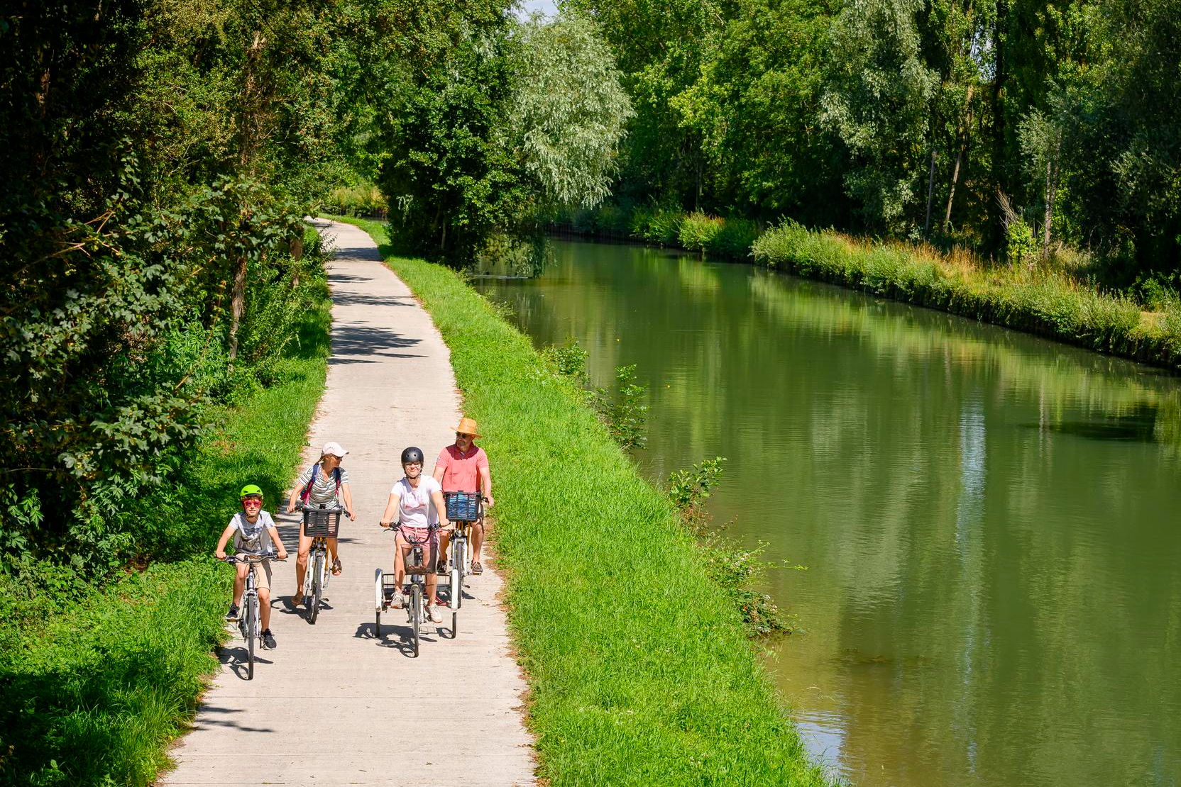
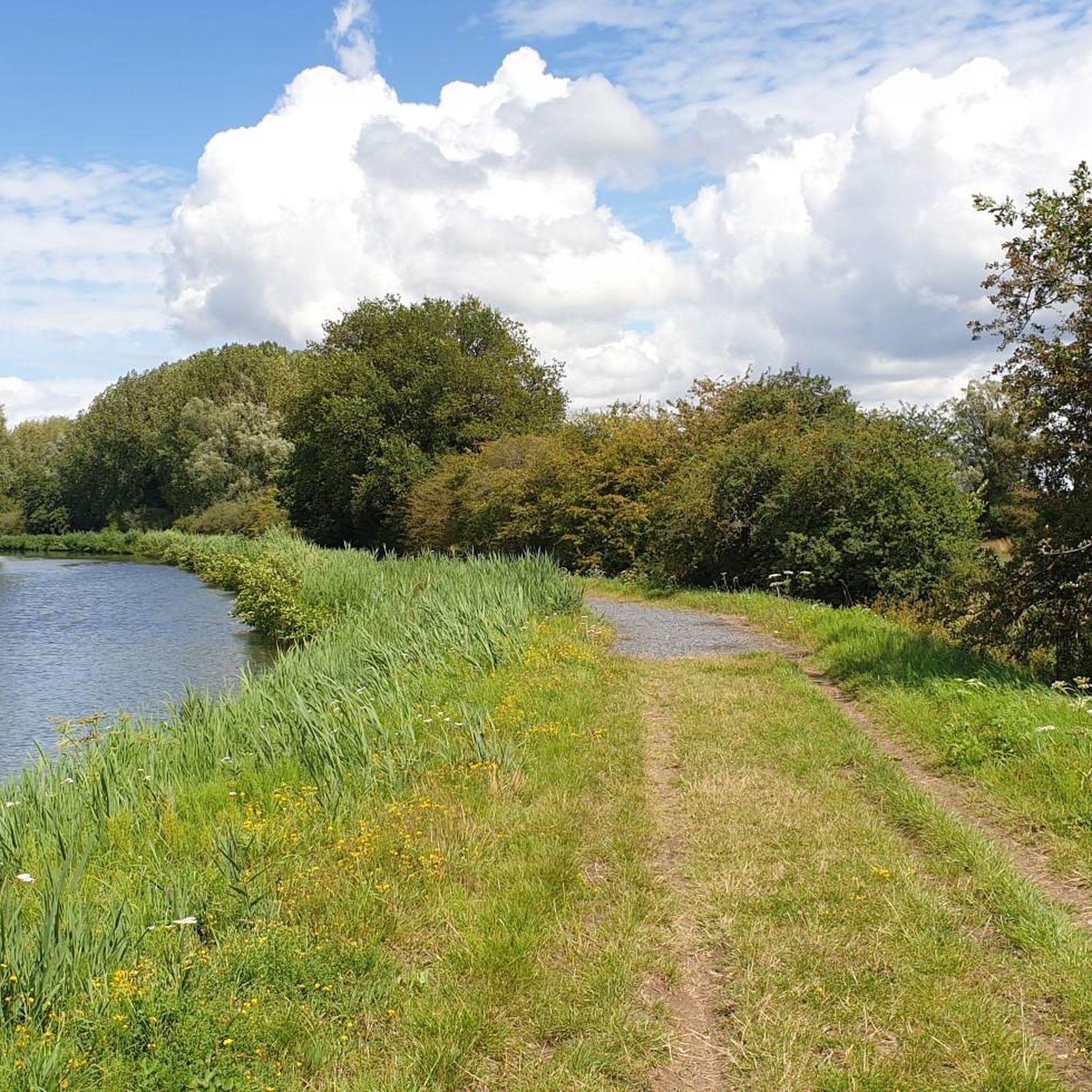
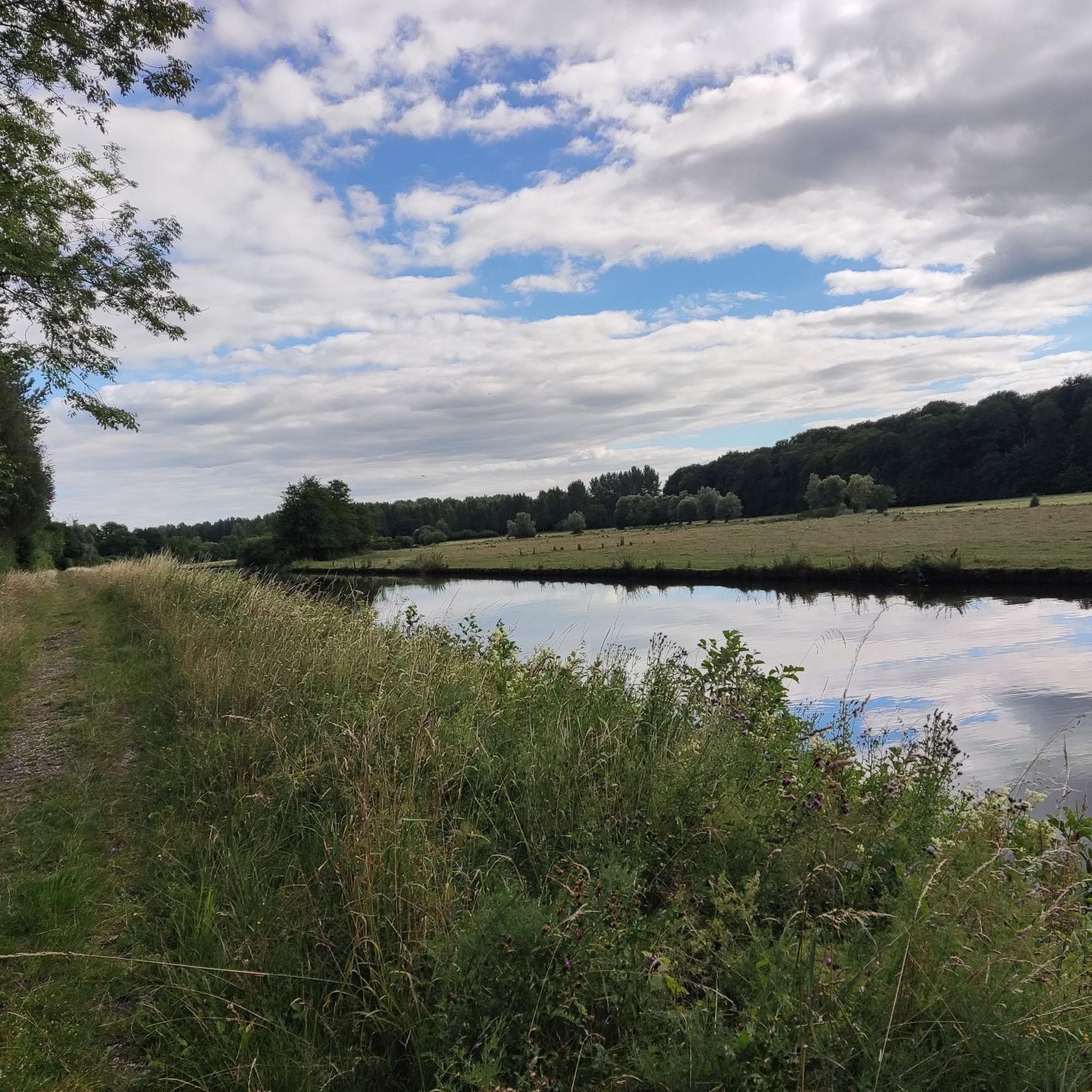
Jogging around Maroilles offers diverse landscapes within the Regional Natural Park de l'Avesnois, characterized by hedged farmland, forests, and streams. The area features varied terrain, from flat sections along the Helpe Mineure river to more challenging, undulating routes with ascents. Extensive trails are also available in the nearby Mormal Forest, providing a mix of forest roads and open fields. This rural setting provides a scenic backdrop for outdoor activities.
Best jogging routes around Maroilles
- The most popular jogging route is…
Last updated: June 29, 2026
5.0
(2)
911
runners
21.4km
02:14
130m
130m
Hard run. Very good fitness required. Mostly paved surfaces. Suitable for all skill levels.
19
runners
14.0km
01:27
80m
80m
Moderate run. Good fitness required. Mostly paved surfaces. Suitable for all skill levels.

Sign up for free
15
runners
7.71km
00:48
40m
40m
Moderate run. Good fitness required. Mostly paved surfaces. Suitable for all skill levels.
8
runners
10.0km
01:02
50m
50m
Moderate run. Good fitness required. Mostly paved surfaces. Suitable for all skill levels.
7
runners
13.1km
01:22
80m
80m
Moderate run. Good fitness required. Mostly paved surfaces. Suitable for all skill levels.
Get access to more routes and recommendations from other explorers.
Sign up for free
Already have an account?
Our route recommendations are based on thousands of hikes, rides, and runs completed by other people on komoot.
Start today with a free account
Your next adventure awaits.
Login or Signup

Tips from the Community

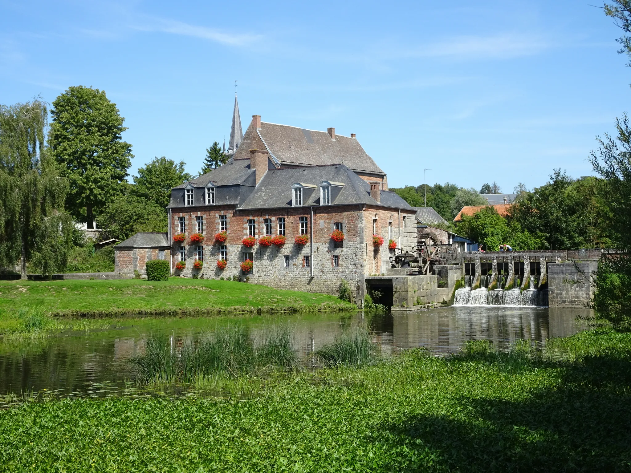
Famous for its cheese, Maroilles is a charming village located in the middle of the Avesnois countryside. Don't miss its emblematic mill as well as its abbey site.
3
0

Very nice place for beautiful walks.
0
0

L'Auberge du Moulin des Près is an estaminet that is popular with interesting prices.
5
1
The abbey mill spanning the little Helpe is a beautifully renovated 17th-century building. On the door lintel we read the motto of Abbé Frédéric d'Yves "Adh (a) erere Deo bonum", which means "It is good to cling to God". A title from the 11th century mentions that it is an ordinary mill of the abbey, which was rebuilt under the abbey of Frédéric d'Yves and enlarged in 1634 under the reign of Dom Simon Bosquier, then adapted in 1770 at the time of Maurice d'Offergnies. Became national property during the French Revolution, was sold several times and finally awarded to Pierre-François Boucher on January 23, 1792.
6
0
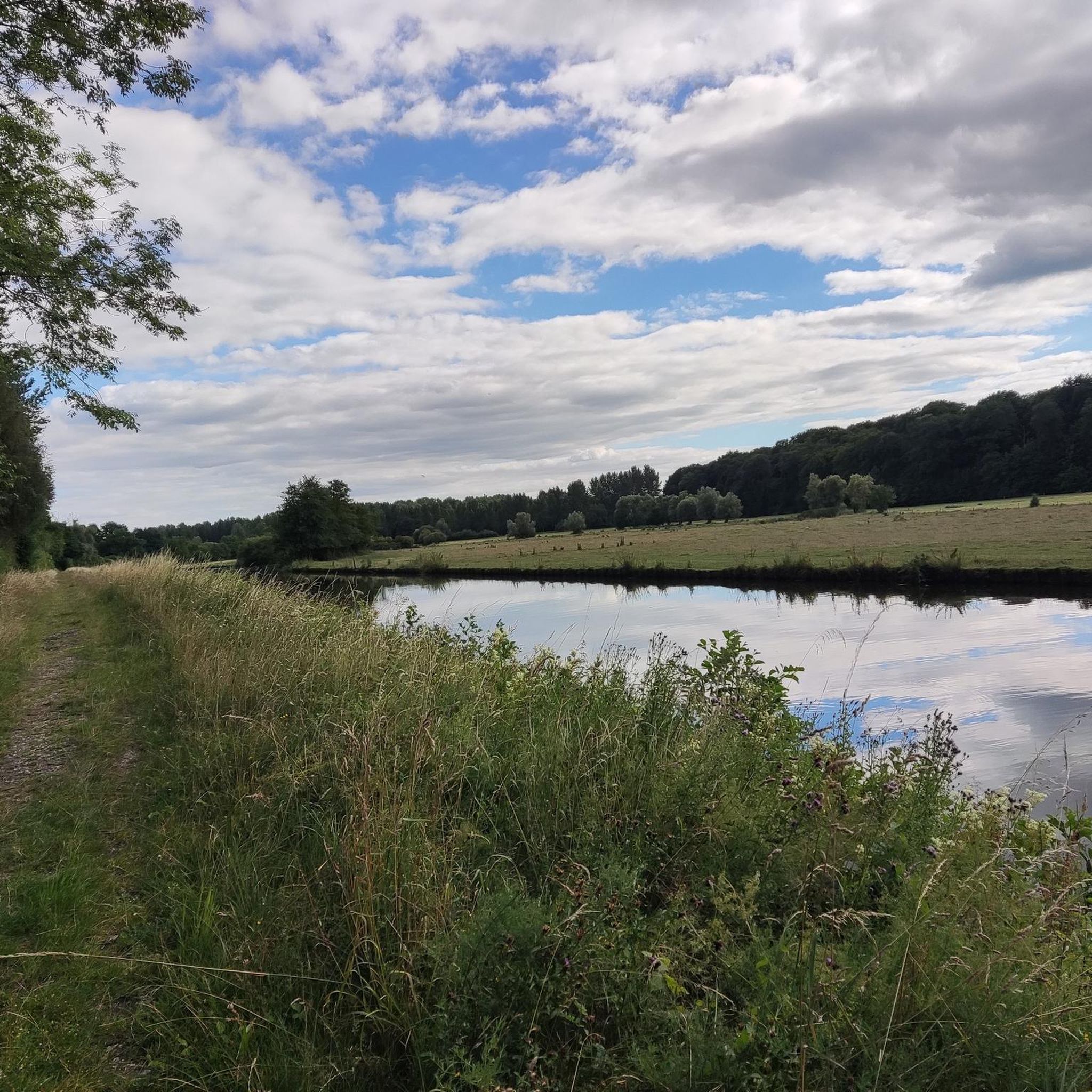
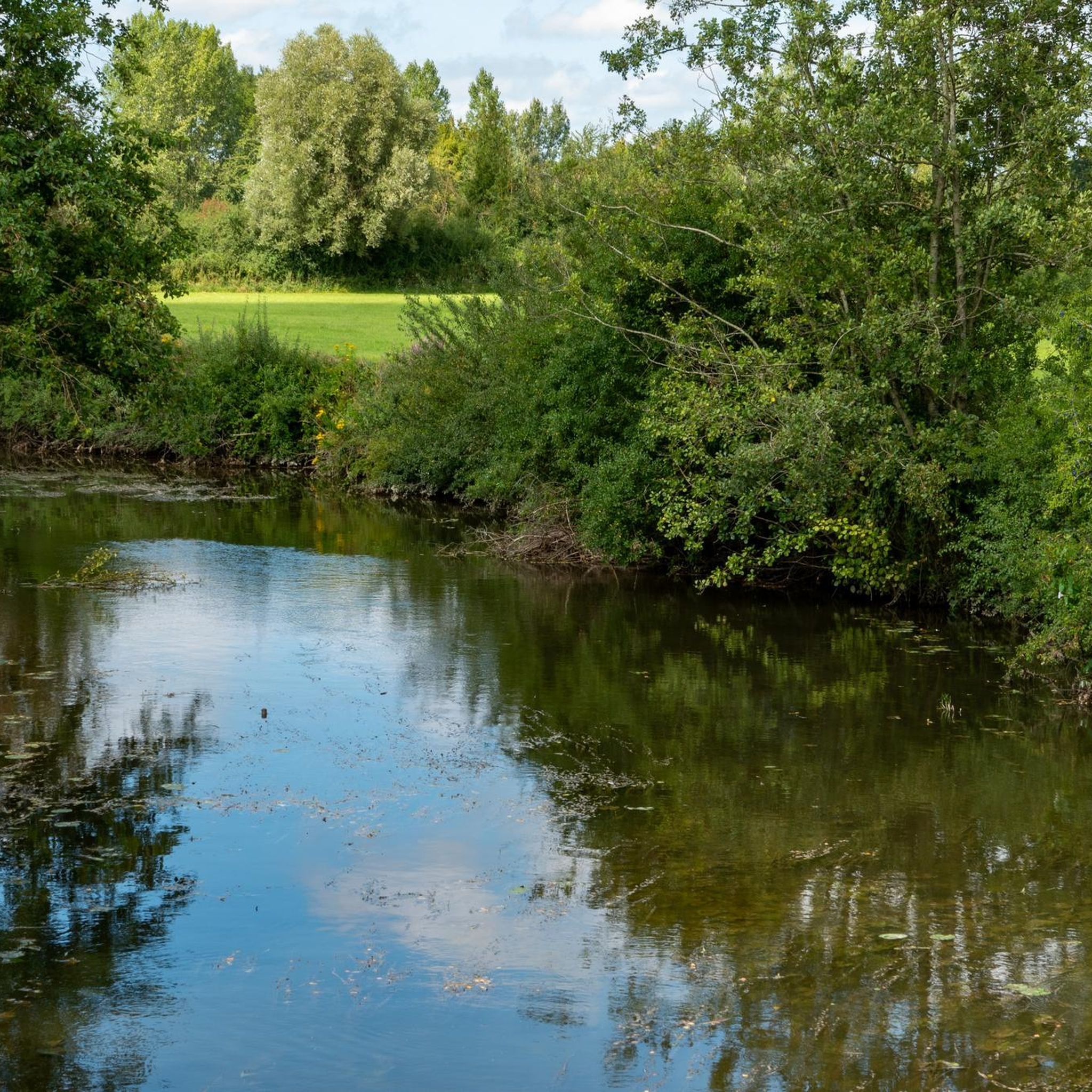
The Helpe Mineure is a French river that flows through the Nord and Aisne departments, in the Hauts-de-France region. It is a left bank tributary of the Sambre, and therefore a sub-tributary of the Meuse. The Helpe Mineure is 50.4 km long and rises in Ohain in the south of the forest of Trélon, in the communal forest of Ohain at an altitude of 273 m. It flows through Fourmies, Rocquigny in the Aisne, then Étrœungt, Boulogne-sur-Helpe, meets the Sambre on its right bank at Locquignol, at an altitude of 132 m, located west of Maroilles. The average slope is 2.1‰.
6
0

Former Moulin de Maroilles to discover, the place is ideal for taking a break.
3
0

This small park is a perfect stopover on your journey. Quiet and shaded, well maintained and equipped with several garbage cans. The center of Maroilles will provide you with everything you need to eat on the go.
0
0
Frequently Asked Questions
How many running routes are available around Maroilles?
There are over 30 dedicated running routes around Maroilles, offering a variety of experiences. These include 1 easy route, 23 moderate routes, and 7 more challenging options, ensuring there's something for every fitness level.
What kind of terrain can I expect on jogging routes in Maroilles?
The terrain around Maroilles is quite varied, characterized by the green, undulating countryside of the Thiérache. You'll find a mix of paved surfaces and natural paths, hedged farmland, and picturesque riverside sections, particularly along the Helpe Mineure river. Some routes also feature significant ascents, like the notable "Côte de Grand-Fayt."
Are there routes suitable for beginners or those looking for an easy run?
Yes, while many routes are moderate, there is at least one easy running route available. Additionally, many of the moderate trails, such as the Maroilles loop from Maroilles (7.7 km), offer a scenic experience through the local countryside that can be enjoyed at a comfortable pace.
What do other runners say about the routes in Maroilles?
The running routes in Maroilles are highly regarded by the komoot community, boasting an average score of 4.8 stars from over 10 reviews. More than 1,800 runners have explored the varied terrain, often praising the scenic beauty and diverse challenges the area offers.
When is the best time of year to go running in Maroilles?
Maroilles offers beautiful running conditions throughout much of the year. Spring and autumn are particularly pleasant, with mild temperatures and vibrant natural scenery. Autumn, in particular, showcases the region's foliage. While routes are accessible in winter, be mindful of potential mud or ice on natural paths.
Are there any challenging running routes with significant elevation?
Absolutely. For those seeking a challenge, the Côte de grand fayt – Maroilles loop from Maroilles is a difficult 22 km trail that includes notable climbs, such as the famous "Côte de Grand-Fayt." This ascent is even part of the annual 20 km de Maroilles race, known for its 600-meter climb with a 6% gradient.
Can I find circular running routes in Maroilles?
Yes, many of the running paths around Maroilles are designed as loops, allowing you to start and finish in the same location. Examples include the Côte de grand fayt loop from Maroilles and the L'Epi de Facon loop from Maroilles, which offer varied distances and terrains.
Are there running paths that follow rivers or offer scenic views?
Yes, the region around Maroilles is known for its picturesque riverside paths, especially along the Helpe Mineure river. Many routes offer scenic views of the green, undulating countryside and agricultural heritage of the Thiérache. The annual 20 km de Maroilles race is renowned for its route through "magnificent natural landscapes."
Are there routes that go through forests?
Yes, the area around Maroilles features extensive forests, including the nearby Mormal Forest, which offers a mix of forest roads and open fields. The Chemin Planté forest road is highlighted as a beautiful, relatively long route with a good surface, ideal for jogging.
Are the running routes in Maroilles family-friendly?
Many of the moderate and easy routes around Maroilles, particularly those with less elevation, can be enjoyed by families. The scenic countryside and varied paths offer a pleasant environment for outdoor activity. Always check the specific route details for distance and difficulty to ensure it's suitable for your family.
Can I bring my dog on the running trails?
While specific regulations can vary, generally, dogs are welcome on many natural trails in rural areas like Maroilles, especially if kept on a leash. It's always advisable to check local signage or specific route descriptions for any restrictions, particularly within protected areas like the Parc Naturel Régional de l'Avesnois.
Are there places to park near the running trails in Maroilles?
Yes, Maroilles is a small town, and many running routes start directly from the town center or nearby, where parking is generally available. For routes that venture further out, you can often find suitable parking spots in villages or designated areas along the trailheads. It's recommended to check the starting point of your chosen route for specific parking information.
What interesting landmarks or attractions can I see along the running routes?
As you run through the Maroilles region, you might encounter charming historical and natural landmarks. These include the Grand Fayt Mill, the Maroilles Mill, and other watermills within the Parc Naturel Régional de l'Avesnois. The Weir at L'Auberge du Puits des Prés also adds a scenic touch to riverside runs.
Most popular attractions around Maroilles

Get inspired with the komoot mobile app


Explore more
Browse the best Running Trails & Routes in other regions.
