The best road cycling routes around Taisnières-Sur-Hon
4.4
(120)
3,680
riders
344
rides
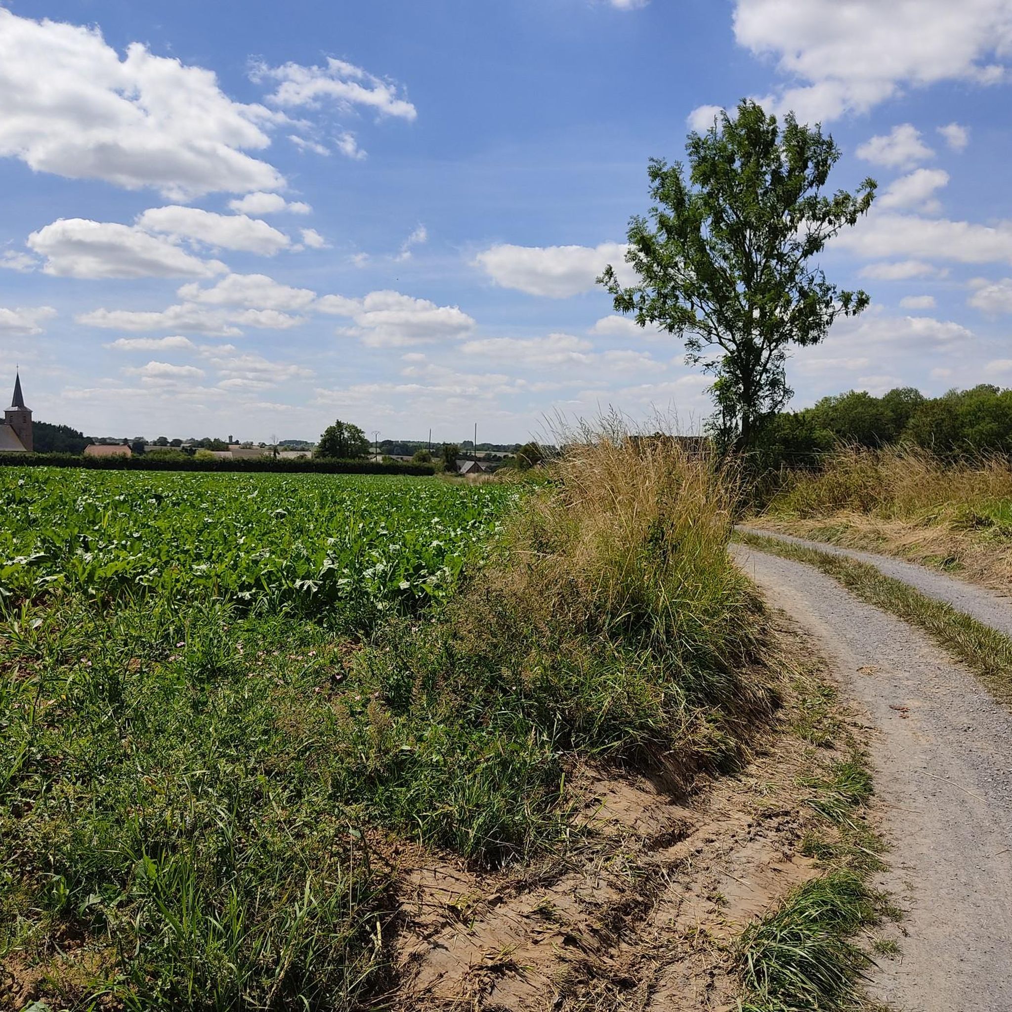
Road cycling around Taisnières-Sur-Hon, located in the Nord department of France, offers varied terrain within the Parc Naturel Régional de l'Avesnois. The landscape features characteristic bocage (hedgerow countryside), sections of the Mormal Forest, and gently rolling hills. Elevations in the immediate area range from 118m to 157m, providing a mix of inclines and descents. The region utilizes an innovative "Points-Noeuds Network" of quiet country roads, allowing cyclists to create customizable itineraries.
Best road cycling routes around Taisnières-Sur-Hon
- The most popular…
Last updated: November 2, 2026
73
riders
88.1km
03:41
480m
480m
Moderate road ride. Good fitness required. Mostly well-paved surfaces and easy to ride.
48
riders
97.4km
04:04
580m
580m
Moderate road ride. Good fitness required. Mostly well-paved surfaces and easy to ride.

41
riders
124km
05:54
570m
570m
Hard road ride. Very good fitness required. Some segments of this route may be unpaved and difficult to ride.
5.0
(3)
41
riders
60.6km
02:50
410m
410m
Moderate road ride. Good fitness required. Some segments of this route may be unpaved and difficult to ride.
3.0
(1)
27
riders
49.5km
02:06
300m
300m
Moderate road ride. Good fitness required. Mostly well-paved surfaces and easy to ride.
Get access to more routes and recommendations from other explorers.
Already have an account?
Our route recommendations are based on thousands of hikes, rides, and runs completed by other people on komoot.
Start today with a free account
Your next adventure awaits.



Tips from the Community


A beautifully restored old mill, picnic table for a break, a calm and peaceful spot
0
0

A very lively and pleasant village 🫶 shops, boutiques and restaurants open even on Sundays, perfect 👌 👏👍
1
0

Clean, suitable for road bikes
0
0

Chateau de Beloeil, otherwise known as the little Belgian Versailles.
1
0
tarmacked road starting from the Auberge du Coucou towards Pont-sur-Sambre
0
0

Very beautiful passage and peaceful landscape
1
0
Frequently Asked Questions
How many road cycling routes are available around Taisnières-sur-Hon?
There are over 320 road cycling routes available around Taisnières-sur-Hon, catering to various skill levels. This includes approximately 70 easy routes, over 240 moderate routes, and around 15 more challenging options.
What kind of terrain can I expect when road cycling near Taisnières-sur-Hon?
The terrain around Taisnières-sur-Hon, situated within the Parc Naturel Régional de l'Avesnois, is characterized by its 'bocage' (hedgerow countryside), sections of the Mormal Forest, and gently rolling hills. Elevations in the immediate area range from 118m to 157m, offering a mix of gentle inclines and rewarding descents, with some more strenuous climbs in the broader Avesnois region.
Are there road cycling routes suitable for beginners or those looking for an easier ride?
Yes, the region offers approximately 70 easy road cycling routes. An example of a less strenuous option is the Vieux-Reng Waterfall – Fort de Leveau loop from Quévy, which is about 45 km long with moderate elevation gain, making it suitable for those seeking a more relaxed experience.
What unique cycling network does the Taisnières-sur-Hon region offer?
The Avesnois region, including Taisnières-sur-Hon, features an innovative 'Points-Noeuds Network'. This system uses numbered points at intersections, allowing cyclists to create customizable itineraries based on their desired length, difficulty, and points of interest. This network prioritizes quieter country roads and even connects with Belgian cycling networks for cross-border rides. You can learn more about this system on Tourisme Avesnois.
Can I find scenic viewpoints or natural attractions along the road cycling routes?
Absolutely. Road cycling routes often traverse the picturesque bocage landscapes and sections of the 10,000-hectare Mormal Forest. You might also encounter natural monuments such as Le Caillou-qui-Bique or the serene Bois d'Angre. The region's rich natural heritage provides plenty of scenic views.
Are there any historical sites I can visit while cycling around Taisnières-sur-Hon?
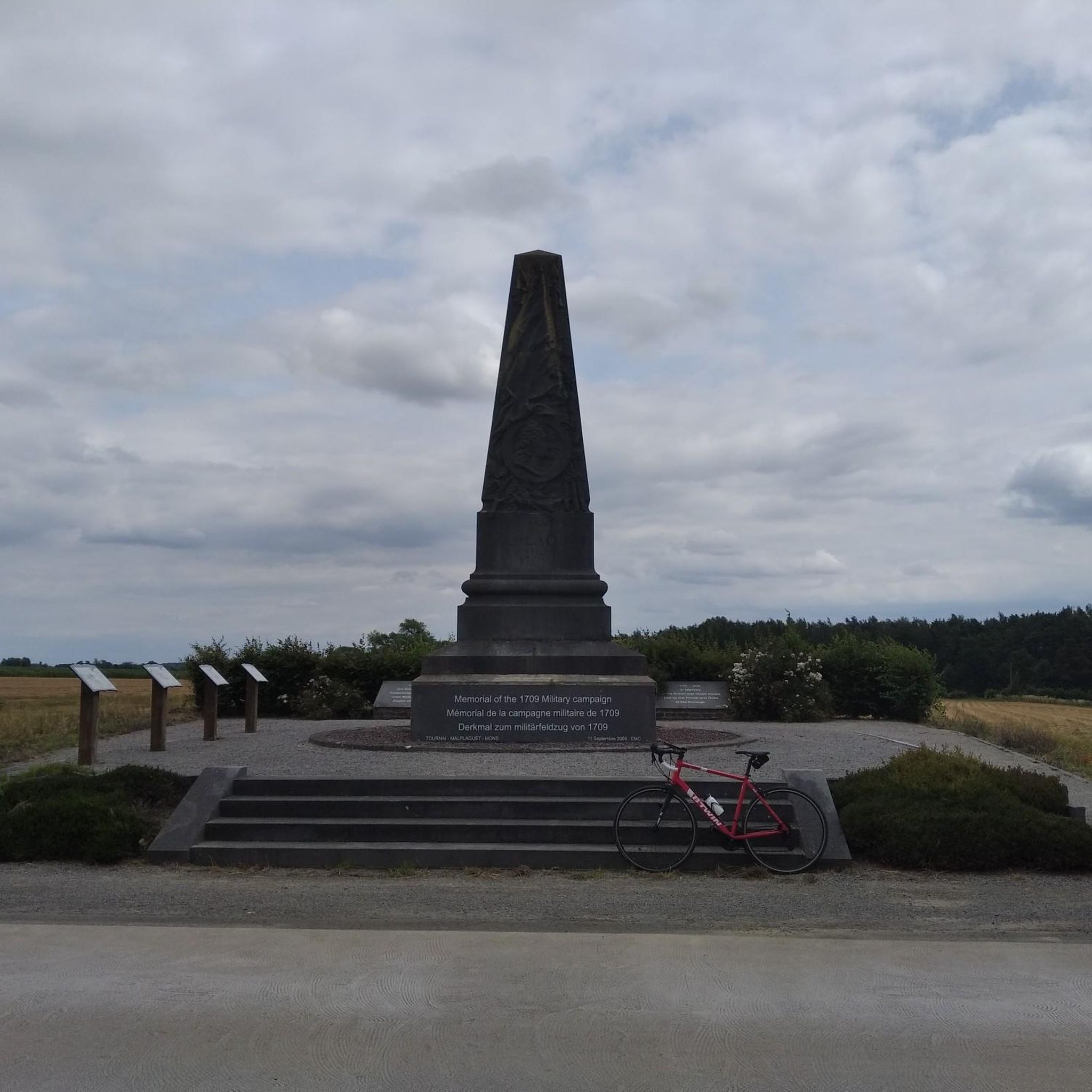
Yes, the area is rich in history. Taisnières-sur-Hon itself was the site of the Battle of Malplaquet in 1709, with a memorial commemorating the event. Many routes pass through charming old stone villages, where you can discover local architecture, churches, chapels, and 18th-century farmhouses. The Battle of Flanders 1709 – Croisil Inn loop from Quévy specifically highlights areas of historical significance.
What do other road cyclists enjoy the most about road cycling in Taisnières-sur-Hon?
The area is highly rated by the komoot community, with an average score of 4.3 stars from over 50 reviews. Reviewers often praise the varied terrain, the picturesque bocage landscapes, and the extensive network of routes that offer options for different ability levels, from leisurely rides to more strenuous challenges.
Are there any long-distance road cycling routes available?
Yes, there are several long-distance options. For example, the Avesnois Greenway – Eppe-Sauvage Village Square loop from Quévy is a challenging 116.6 km route with significant elevation gain, often completed in about 5 hours 14 minutes. Another substantial ride is the Moulin du Grand Fayt – Fort de Leveau loop from Quévy, covering over 100 km.
What is the best time of year for road cycling in Taisnières-sur-Hon?
While specific climate data isn't provided, the region's gently rolling hills and forest sections suggest that spring and autumn would offer pleasant temperatures and beautiful scenery. Summer can also be enjoyable, though it might be warmer. Always check local weather forecasts before heading out.
Are there any family-friendly road cycling options in the area?
The 'Points-Noeuds Network' allows for customizable itineraries, making it possible to design shorter, flatter routes suitable for families. While specific family-friendly road cycling routes aren't detailed, the presence of numerous easy routes and quiet country roads within the network means you can tailor a ride to suit different ages and abilities.
Where can I find cafes or places to stop for refreshments along the routes?
Many routes pass through charming villages where you can often find local cafes or small shops. While specific establishments aren't listed, the region's focus on local heritage means you'll likely encounter opportunities for refreshments. One highlight listed is Le Chalet Du Garde, which is categorized as a cafe.
Is it possible to combine road cycling with exploring the Avesnois Greenway?
Yes, several road cycling routes integrate sections of the Avesnois Greenway. For instance, the popular Solre-le-Château Church – Avesnois Greenway loop from Quévy, a 83.3 km moderate trail, traverses this greenway, offering scenic views of the region's hedgerow landscapes and a smoother riding experience.
Most popular routes around Taisnières-Sur-Hon
Most popular attractions around Taisnières-Sur-Hon

Get inspired with the komoot mobile app


Explore more
Browse the best Road cycling routes in other regions.
