The best road cycling routes around Mairieux
4.5
(61)
2,242
riders
314
rides
Road cycling routes around Mairieux are situated on the plateau of Bavay, characterized by gently undulating terrain with elevations ranging from 129 to 169 meters. This area is part of the Avesnois Regional Natural Park, featuring a "bocage" landscape of hedged farmland, forests, and small streams. The region offers a balance of flat stretches and gentle ascents, providing an engaging environment for road cyclists.
Best road cycling routes around Mairieux
- The most popular road cycling route is Avesnois Greenway –…
Last updated: July 1, 2026
5.0
(1)
32
riders
85.1km
03:33
500m
500m
Moderate road ride. Good fitness required. Mostly well-paved surfaces and easy to ride.
24
riders
89.1km
04:03
670m
670m
Moderate road ride. Good fitness required. Mostly well-paved surfaces and easy to ride.

Sign up for free
18
riders
49.8km
02:12
430m
430m
Moderate road ride. Good fitness required. Mostly well-paved surfaces and easy to ride.
4.5
(2)
42
riders
55.5km
02:21
320m
320m
Moderate road ride. Good fitness required. Some segments of this route may be unpaved and difficult to ride.
28
riders
83.0km
03:34
470m
470m
Moderate road ride. Good fitness required. Mostly well-paved surfaces and easy to ride.
Get access to more routes and recommendations from other explorers.
Sign up for free
Already have an account?
Our route recommendations are based on thousands of hikes, rides, and runs completed by other people on komoot.
Start today with a free account
Your next adventure awaits.
Login or Signup
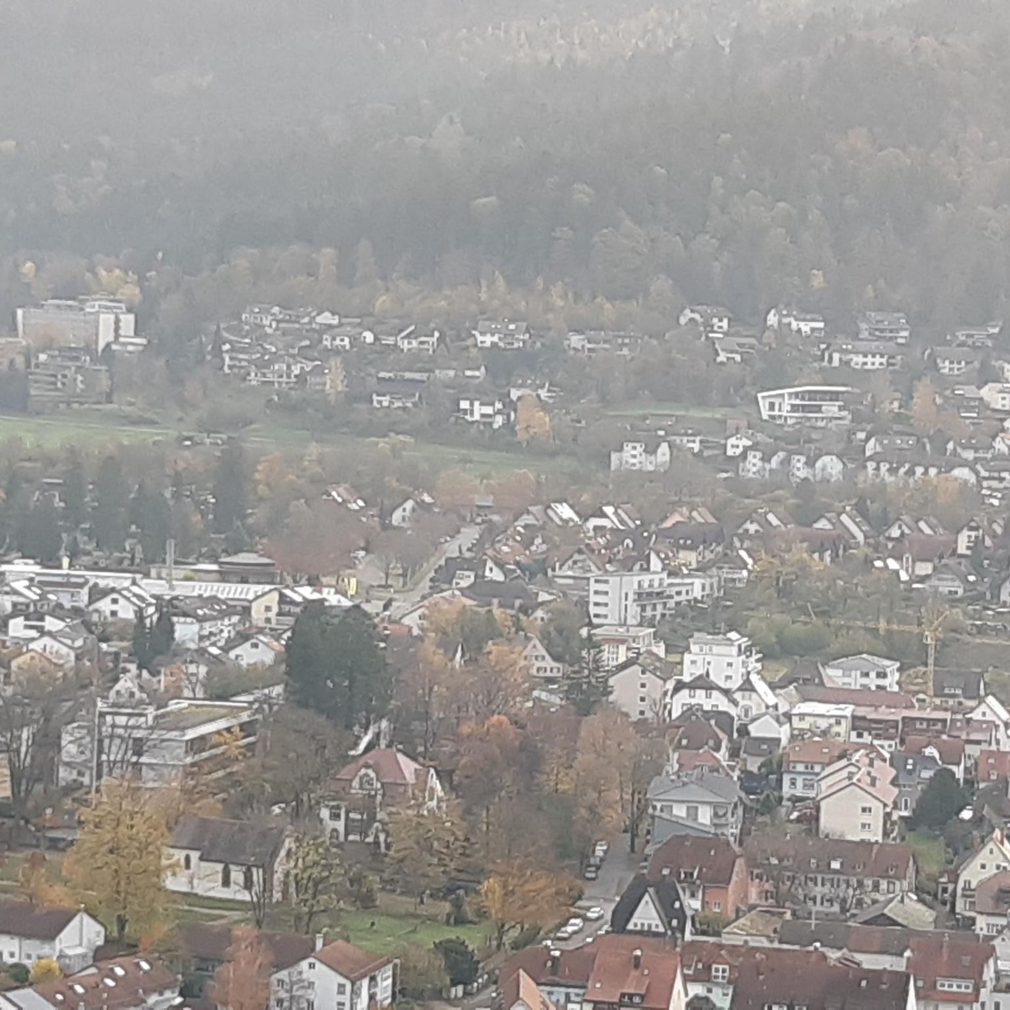
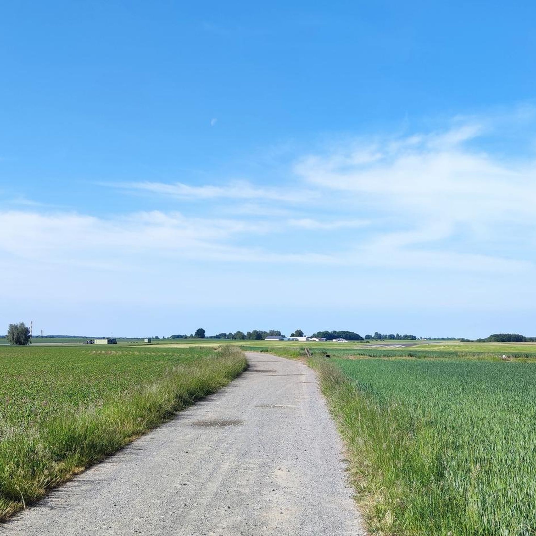
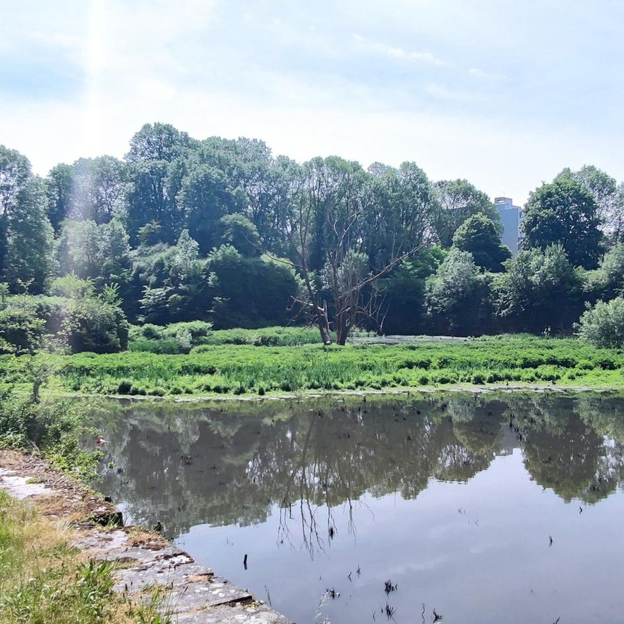


Tips from the Community

Enjoy the peace and quiet
0
0

Very pleasant place, with a very nice room upstairs, on the ground floor a friendly room to have a drink and eat well, super friendly welcome.
0
0
Cycling in the forests of Peissant is a great way to discover the peaceful nature of the region. This vast forest area offers a network of well-maintained cycle paths that take you through dense forests and picturesque landscapes.
0
0
You cycle along the picturesque river Sambre. This is a quiet and picturesque river that flows through the south of Belgium and plays an important role in the Wallonia region. It rises in the French Ardennes and winds through cities such as Charleroi, Namur and Philippeville, before flowing into the Meuse.
0
1

A short tour in the Avesnes countryside offering beautiful views of Solre-le-Château and its leaning bell tower. Route mainly on asphalt paths with however a grassy path over 600m. Possibility of walking from Lez-Fontaine to the hamlet of l'Epine via the greenway. Ideal departure: the square of Solre-le-Château where parking is easy and where it is possible to eat or refuel.
0
0

Railway line cycle path EV3, unpaved up to here, then asphalt.
2
0
Beautiful place, attractive old train station. From here on, the railway line cycle path EV3. The first short section is still unpaved, then asphalt.
2
0
Nice little place, beautiful church.
2
0
Frequently Asked Questions
What is the typical terrain like for road cycling around Mairieux?
Road cycling around Mairieux is characterized by gently undulating terrain, with elevations ranging from 129 to 169 meters. The area is part of the Avesnois Regional Natural Park, known as 'La Petite Suisse du Nord,' featuring picturesque hedged farmland (bocage), forests, and small streams. This creates a balanced cycling environment with both flat stretches and gentle ascents.
Are there road cycling routes suitable for different skill levels in the Mairieux area?
Yes, the Mairieux area offers a variety of road cycling routes catering to different abilities. You'll find approximately 60 easy routes, over 250 moderate routes, and a selection of more challenging options for experienced cyclists. This ensures there's something for everyone, from leisurely rides to more demanding excursions.
What historical landmarks can I explore while road cycling near Mairieux?
Many road cycling routes in the region pass by significant historical sites. A notable landmark is the Fort de Leveau, a fort built in the late 19th century that played a role in World War I. Routes like the Fort de Leveau loop from Les Bons Pères incorporate this historical point of interest.
Are there any scenic viewpoints or natural features to look out for on road cycling routes?
The Avesnois Regional Natural Park, which encompasses Mairieux, is rich in natural beauty. You'll cycle through a 'bocage' landscape of hedged farmlands, past forests, and alongside small watercourses like the Marais and Ronça streams. The region's traditional villages with their distinctive blue stone houses and slate roofs also offer picturesque views.
What do other road cyclists enjoy most about the routes around Mairieux?
The road cycling routes around Mairieux are highly rated by the komoot community, with an average score of 4.4 stars from over 40 reviews. Cyclists often praise the varied terrain, the scenic 'bocage' landscape, and the opportunity to explore historical landmarks and traditional villages.
Are there any long-distance road cycling routes available?
Yes, the region offers several longer routes. For example, the Avesnois Greenway – Voie verte de l'Avesnois loop from Les Bons Pères is a substantial 56.3-mile (90.7 km) trail that utilizes well-maintained paths through the scenic Avesnois region, offering a great option for a longer ride.
Can I find circular road cycling routes in the Mairieux area?
Many of the road cycling routes around Mairieux are designed as loops, allowing you to start and end at the same point. Examples include the Fort de Leveau – Avesnois Greenway loop from Les Bons Pères, which leads through hedged farmland and past historical landmarks.
Are there any attractions beyond historical sites that I can visit by bike?
Beyond historical sites, you might encounter other interesting points. The Fort de Leveau – Le Prestige du Clothaire Café loop from Les Bons Pères route, for instance, suggests a stop at a local café. You could also explore the area around the Ruffus – Agaises Vineyard or the Erquelinnes Marina, depending on your chosen route.
What is the best time of year for road cycling in Mairieux?
The gently undulating terrain and picturesque landscapes of Mairieux are enjoyable throughout much of the year. Spring and autumn generally offer pleasant temperatures and beautiful scenery, while summer provides longer daylight hours. The region's modest elevation changes mean it's less prone to extreme weather conditions that might affect mountainous areas.
Are there options for road cycling routes that pass through traditional villages?
Absolutely. The Avesnois Regional Natural Park is dotted with traditional villages featuring distinctive blue stone houses and slate roofs. Many road cycling routes are designed to lead through these charming settlements, offering opportunities to experience local culture and architecture, and perhaps find a café for a break.
How many road cycling routes are available around Mairieux?
There are over 320 road cycling routes available around Mairieux, offering a wide range of options for exploring the region's unique landscapes and attractions.
Most popular attractions around Mairieux

Get inspired with the komoot mobile app


Explore more
Browse the best Road cycling routes in other regions.
