The best walks and hikes around Solre-Le-Château
4.4
(840)
4,096
hikers
18
hikes
Hiking around Solre-Le-Château offers diverse landscapes within the Avesnois Regional Natural Park, characterized by gently rolling, hilly terrain. The region features prairies, bocage, and woodlands, with elevations ranging from 168 to 236 meters. The Solre River flows through the area, integrating into several hiking routes. This varied topography provides a mix of open fields, wooded paths, and riverside trails.
Best hiking trails around Solre-Le-Château
- The most popular hiking route is Solre-le-Château Church – Moulin de Reumont loop from Solre-le-Château,…
Last updated: July 2, 2026
4.5
(17)
74
hikers
12.3km
03:19
160m
160m
Moderate hike. Good fitness required. Easily-accessible paths. Suitable for all skill levels.
4.3
(7)
19
hikers
Moderate hike. Good fitness required. Easily-accessible paths. Suitable for all skill levels.

Sign up for free
3.5
(4)
6
hikers
8.59km
02:19
110m
110m
Moderate hike. Good fitness required. Easily-accessible paths. Suitable for all skill levels.
5.0
(1)
7
hikers
Easy hike. Great for any fitness level. Easily-accessible paths. Suitable for all skill levels.
3.5
(2)
7
hikers
22.1km
05:52
220m
220m
Hard hike. Very good fitness required. Easily-accessible paths. Suitable for all skill levels.
Get access to more routes and recommendations from other explorers.
Sign up for free
Already have an account?
Our route recommendations are based on thousands of hikes, rides, and runs completed by other people on komoot.
Start today with a free account
Your next adventure awaits.
Login or Signup

Tips from the Community

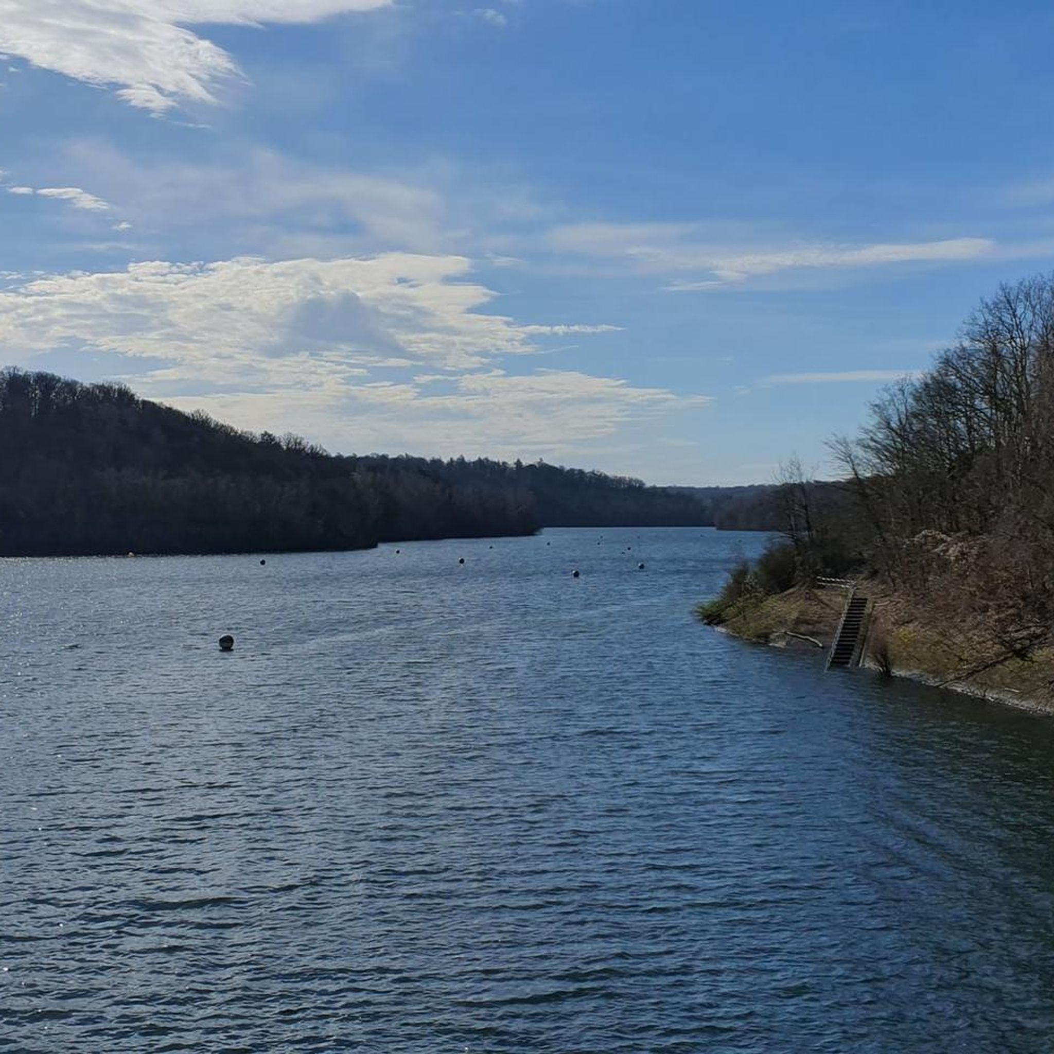
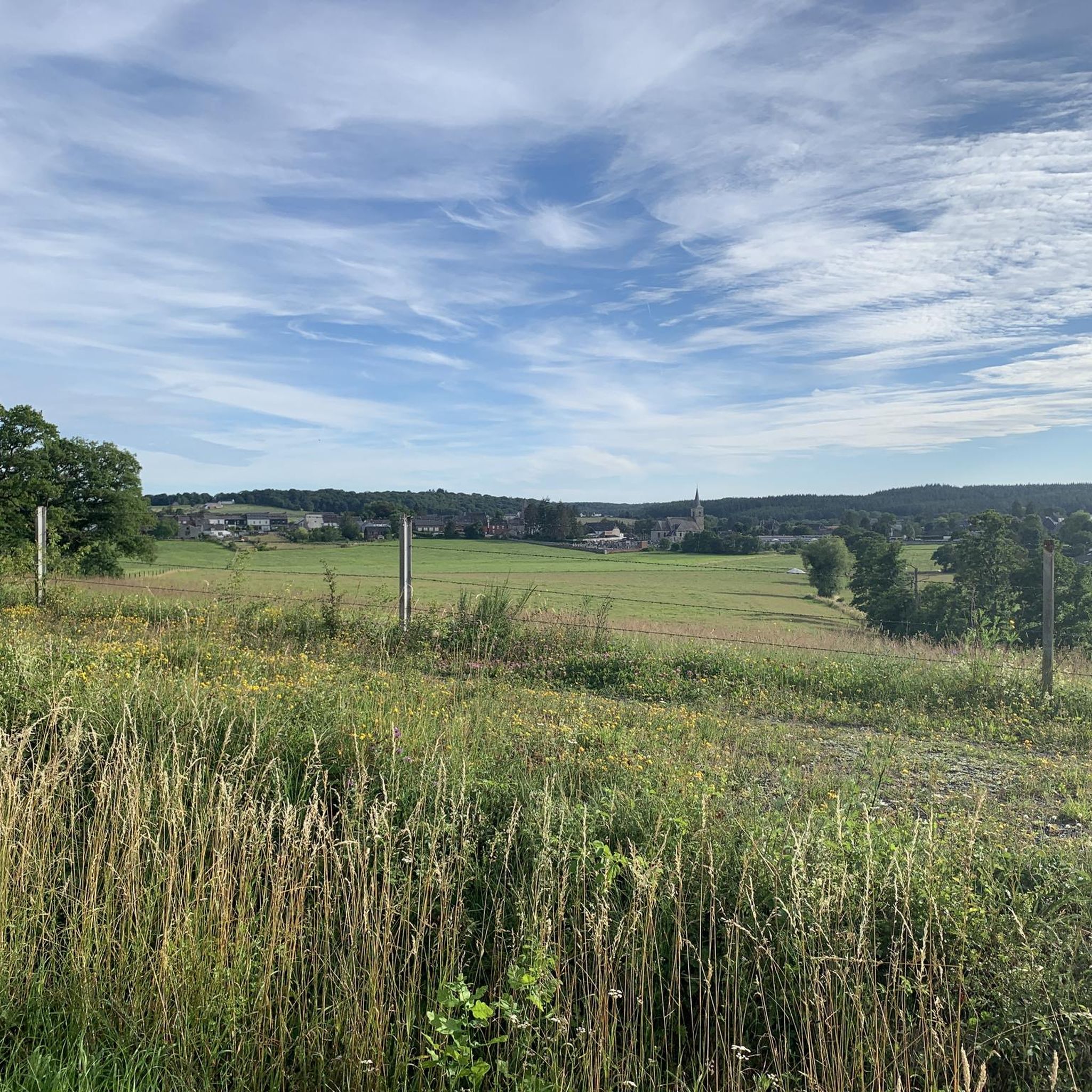
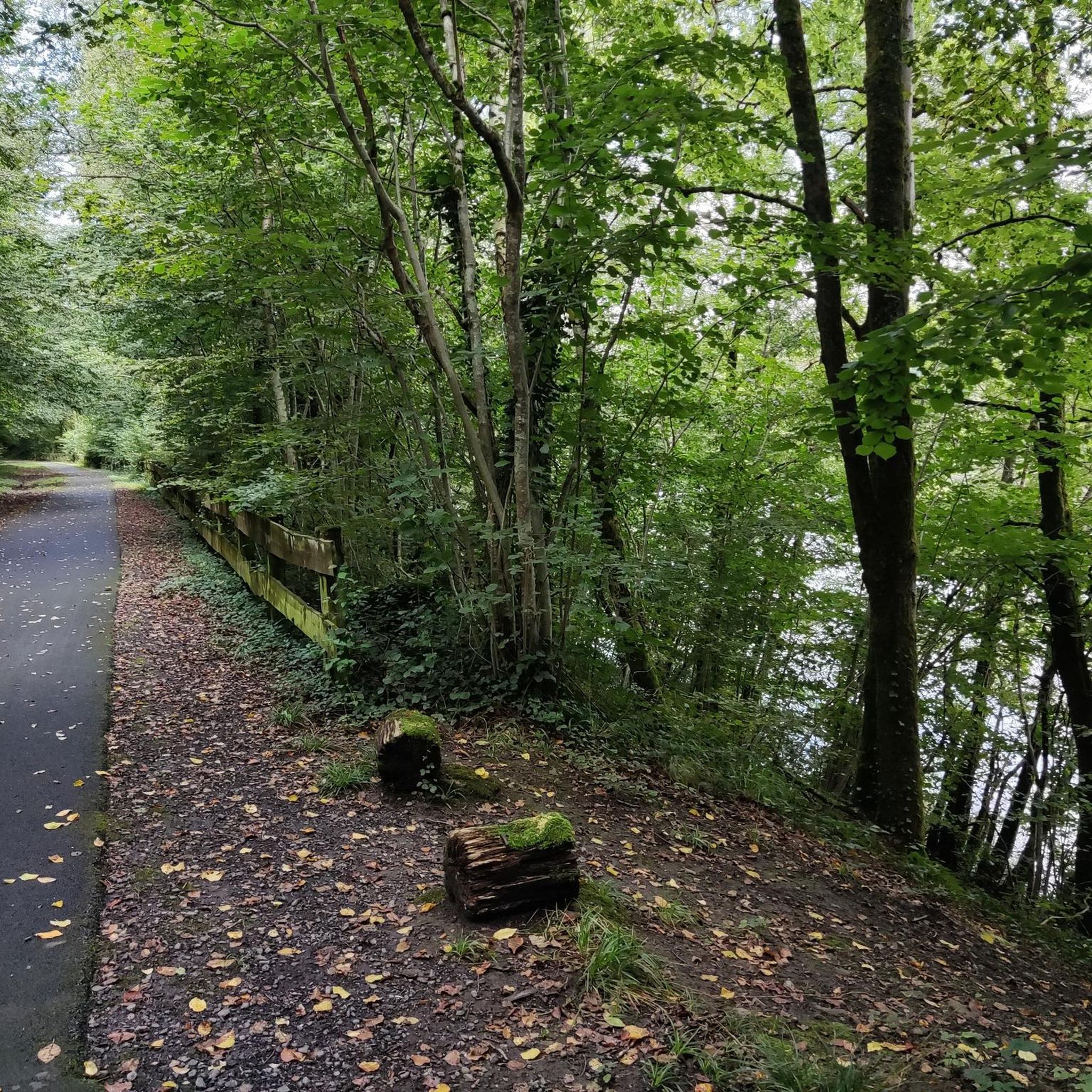
A short tour in the Avesnes countryside offering beautiful views of Solre-le-Château and its leaning bell tower. Route mainly on asphalt paths with however a grassy path over 600m. Possibility of walking from Lez-Fontaine to the hamlet of l'Epine via the greenway. Ideal departure: the square of Solre-le-Château where parking is easy and where it is possible to eat or refuel.
0
0

Nice
0
0

From the Nord department not the Ardennes...😧
1
0

Nice little town in the French Ardennes
0
1


Superb village dancing kiosk. Next to the green theater on the Place de Lez fontaine.
3
0
Very nice discovery. The small theater gives rise to shows. Closed when nothing is happening.
3
0
Frequently Asked Questions
How many hiking trails are available around Solre-Le-Château?
There are over 15 hiking routes around Solre-Le-Château, catering to various fitness levels. You'll find a mix of easy strolls, moderate paths, and some more challenging treks through the diverse landscapes of the Avesnois Regional Natural Park.
What kind of landscapes can I expect to see while hiking in Solre-Le-Château?
The region, often called the 'Little Switzerland of the North,' features gently rolling, hilly terrain. Hikers will experience picturesque countryside with prairies, traditional bocage (small fields enclosed by hedges), and woodlands. The Solre River also winds through the area, integrating into many riverside trails.
Are there any easy hiking trails suitable for beginners or families?
Yes, Solre-Le-Château offers 10 easy hiking routes. A good option for a shorter, accessible walk is the Solre-le-Château Square – Solre-le-Château Church loop, which is just over 4 km long and takes about an hour to complete.
What are some notable landmarks or attractions I might encounter on a hike?
You can spot the distinctive leaning bell tower of Solre-Le-Château's church from several paths. Other routes might lead you past old water mills, picturesque kiosks, or sections of greenways (Voies Vertes). The area also features numerous oratories and small chapels, and even the remains of prehistoric menhirs, the Pierres Martines, south of town. You can also explore the Solre-le-Château Church itself.
Are there any long-distance or more challenging hikes in the area?
Yes, for those seeking a longer challenge, there is one difficult route available. The Moulin de Reumont – Solre-le-Château Church loop is over 22 km long and features more significant elevation changes, taking around 6 hours to complete.
What do other hikers say about the trails in Solre-Le-Château?
The hiking routes in Solre-Le-Château are highly rated by the komoot community, with an average score of 4.4 stars from over 700 reviews. Hikers often praise the peaceful, unspoiled countryside, the varied terrain, and the well-maintained paths that offer a blend of nature and cultural sights.
Can I find circular hiking routes around Solre-Le-Château?
Yes, many of the trails around Solre-Le-Château are designed as circular routes, allowing you to start and end in the same location. For example, the Solre-le-Château Square – Moulin de Reumont loop is a popular circular option that takes you through the local countryside.
Are there any forests or significant natural areas to explore?
Absolutely. Solre-Le-Château is close to several significant forested areas, including Bois l'Abbé Forest, Forêt Domaniale de l'Abbé Val Joly, and the expansive Mormal Forest, which is the largest in the region. These offer hundreds of kilometers of paths for nature lovers.
What is the best time of year to go hiking in Solre-Le-Château?
The Avesnois Regional Natural Park is beautiful throughout the year. Spring brings blooming wildflowers and lush greenery, while autumn offers vibrant foliage. Summer is ideal for longer days, and even winter can be picturesque, though some paths might be muddy. Always check local weather conditions before heading out.
Are there any trails that follow rivers or feature water elements?
Yes, the Solre River is a central natural element, and its course is integrated into several hiking routes. You might also find trails incorporating other water features like fords and ponds, or even the confluence of the Solre and Riamé rivers, offering scenic riverside walks.
Is there parking available near the trailheads in Solre-Le-Château?
While specific parking details vary by trailhead, Solre-Le-Château is generally accessible, and you can often find parking in or near the village center, which serves as a common starting point for many routes. It's advisable to check the specific route details on komoot for recommended parking spots.
Are there any greenways (Voies Vertes) for easy walking or cycling?
Yes, sections of old railway lines in the area have been converted into 'greenways' (Voies Vertes). These provide easy and accessible paths, perfect for leisurely walks or cycling, and some connect directly to local attractions like the leaning bell tower.
Most popular routes around Solre-Le-Château
Most popular attractions around Solre-Le-Château

Get inspired with the komoot mobile app


Explore more
Browse the best Hikes in other regions.
