The best running trails around Boulogne-Sur-Helpe
4.6
(22)
809
runners
69
runs
Jogging around Boulogne-Sur-Helpe offers varied terrain with an average elevation of 170 meters. The region is characterized by rolling countryside, extensive forests like the Forest of Mormal, and valleys such as the Vallée de la Helpe Mineur. These natural features provide diverse backdrops for running, suitable for both leisurely runs and more demanding training sessions. The area's network of running routes allows for exploration of its authentic rural character.
Best jogging routes around Boulogne-Sur-Helpe
- The most popular jogging route is…
Last updated: June 26, 2026
6
runners
10.9km
01:08
70m
70m
Moderate run. Good fitness required. Mostly paved surfaces. Suitable for all skill levels.
5
runners
10.5km
01:06
100m
100m
Moderate run. Good fitness required. Mostly paved surfaces. Suitable for all skill levels.

Sign up for free
5
runners
11.0km
01:09
80m
80m
Moderate run. Good fitness required. Mostly paved surfaces. Suitable for all skill levels.
4
runners
16.3km
01:41
80m
80m
Hard run. Very good fitness required. Mostly paved surfaces. Suitable for all skill levels.
3
runners
9.10km
00:57
100m
100m
Moderate run. Good fitness required. Mostly paved surfaces. Suitable for all skill levels.
Get access to more routes and recommendations from other explorers.
Sign up for free
Already have an account?
Our route recommendations are based on thousands of hikes, rides, and runs completed by other people on komoot.
Start today with a free account
Your next adventure awaits.
Login or Signup


Tips from the Community

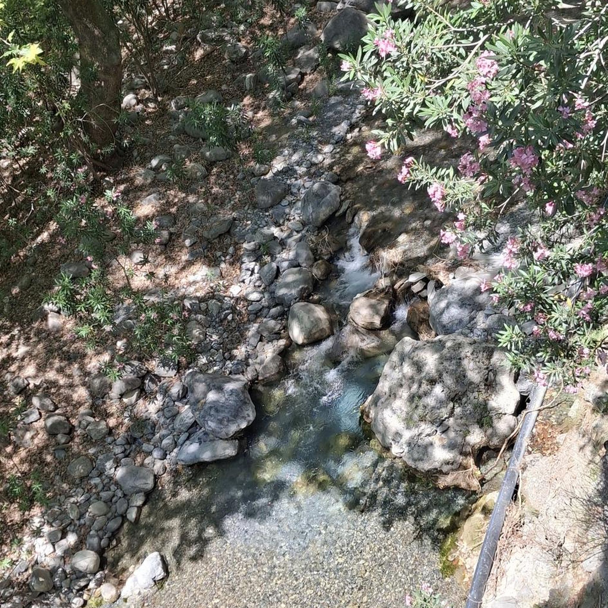
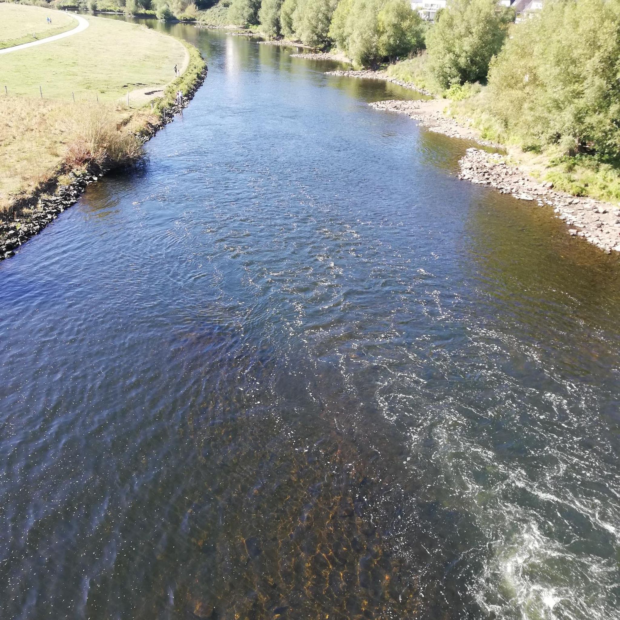
The square de la Madeleine is a square on one of the bastions of the city walls. You have a view of the steep Helpe valley.
2
0
Frequently Asked Questions
What kind of terrain can I expect on running routes around Boulogne-Sur-Helpe?
The region around Boulogne-Sur-Helpe offers a diverse landscape for runners. You'll find rolling countryside, tranquil forests, and picturesque valleys. The average elevation of Boulogne-Sur-Helpe is 170 meters, indicating a varied topography that provides both gentle paths and more challenging inclines. The wider Boulogne area also features coastal paths along the Côte d'Opale, though these are further afield from Boulogne-Sur-Helpe itself.
Are there running routes suitable for beginners in Boulogne-Sur-Helpe?
Yes, there are routes suitable for beginners. While most of the 66 routes in the area are rated as moderate, there are at least 2 routes classified as easy. These typically feature less elevation gain and shorter distances, perfect for those new to running or looking for a relaxed jog. For example, the Running loop from Haut-Lieu is a moderate 3.7-mile (6.0 km) trail that can be a good starting point.
Where can I find more challenging running trails in the Boulogne-Sur-Helpe area?
For more advanced runners seeking a challenge, the Boulogne-Sur-Helpe area offers 6 routes classified as difficult. These trails typically feature longer distances and more significant elevation changes. An example of a more demanding route is the Running loop from Papleux, which covers 10.1 miles (16.3 km) through rolling countryside.
Are there any circular running routes available?
Many of the running routes around Boulogne-Sur-Helpe are designed as circular loops, allowing you to start and finish at the same point without retracing your steps. Examples include the Running loop from Avesnes-sur-Helpe and the Running loop from Larouillies, both offering scenic circuits through the local landscape.
What natural features or landmarks can I see while running in this region?
While running around Boulogne-Sur-Helpe, you'll primarily experience the serene beauty of rolling countryside, forests, and valleys. The broader region, including the nearby Parc naturel régional de l'Avesnois, is known for its clear flowing streams, meadows, and orchards. You might also encounter historical sites such as the Grand Fayt Mill or the Saint-Pierre-aux-Liens Church of Grand-Fayt, which are highlights in the vicinity.
What do other runners enjoy most about jogging in Boulogne-Sur-Helpe?
The running routes in Boulogne-Sur-Helpe are highly rated by the komoot community, with an average score of 4.7 stars from over 13 reviews. Runners often praise the varied terrain, the peaceful natural surroundings, and the opportunity to explore the local environment. Over 700 runners have used komoot to discover the trails here, highlighting the area's appeal for outdoor exercise.
Are there any family-friendly running paths in the area?
While specific 'family-friendly' designations aren't always explicit for running routes, many of the easier and moderate trails around Boulogne-Sur-Helpe can be enjoyed by families. Look for routes with shorter distances and minimal elevation gain, often found within the rolling countryside or local forest paths, which provide a pleasant environment for all ages.
Can I bring my dog on the running trails around Boulogne-Sur-Helpe?
Generally, dogs are welcome on many of the natural trails and paths in the Boulogne-Sur-Helpe region, especially in rural and forest areas. However, it's always advisable to keep your dog on a leash, particularly when passing through agricultural land, near livestock, or in protected natural areas to respect local wildlife and other trail users. Always check local signage for specific restrictions.
What is the best time of year to go running in Boulogne-Sur-Helpe?
The best time to go running in Boulogne-Sur-Helpe largely depends on your preference. Spring and autumn offer pleasant temperatures and beautiful scenery with blooming flowers or vibrant fall foliage. Summer can be ideal for early morning or late evening runs to avoid the midday heat, while winter runs can be invigorating, especially if you enjoy crisp air and potentially snow-dusted landscapes. The varied terrain is accessible year-round.
Is there parking available near the running routes in Boulogne-Sur-Helpe?
For many of the running routes that start from villages or specific points of interest, you can typically find local parking options. These might include village squares, designated car parks, or roadside parking in less populated areas. It's recommended to check the starting point of your chosen route on komoot for specific parking suggestions or to look for public parking in nearby towns like Haut-Lieu or Avesnes-sur-Helpe.
Are there any running routes that pass by a château or historical building?
Yes, some routes in the wider area offer glimpses of historical sites. For instance, the Château de Coutant – Pretty path between the trees loop from Saint-Hilaire-sur-Helpe is a moderate 8.1-mile (13.0 km) route that passes by the Château de Coutant, offering a blend of natural beauty and historical interest.
Most popular attractions around Boulogne-Sur-Helpe

Get inspired with the komoot mobile app


Explore more
Browse the best Running Trails & Routes in other regions.
