The best walks and hikes around Larouillies
4.1
(61)
158
hikers
20
hikes
Hiking around Larouillies offers a variety of routes through a landscape characterized by gentle hills, rural farmland, and water features. The region features a mix of open fields, hedged bocages, and tranquil ponds. Trails often follow paths through the countryside, providing views of the local agricultural scenery. This area provides accessible hiking opportunities for various skill levels.
Best hiking trails around Larouillies
- The most popular hiking route is Moulin de Flaumont loop from Avesnes, a 6.9 miles (11.1 km)…
Last updated: July 9, 2026
4.8
(4)
23
hikers
7.82km
02:04
70m
70m
Moderate hike. Good fitness required. Easily-accessible paths. Suitable for all skill levels.
4.0
(2)
14
hikers
11.3km
03:00
110m
110m
Moderate hike. Good fitness required. Easily-accessible paths. Suitable for all skill levels.

Sign up for free
3.8
(5)
46
hikers
10.6km
02:48
100m
100m
Moderate hike. Good fitness required. Easily-accessible paths. Suitable for all skill levels.
4.0
(1)
5
hikers
6.95km
01:48
40m
40m
Easy hike. Great for any fitness level. Easily-accessible paths. Suitable for all skill levels.
4.0
(1)
5
hikers
10.1km
02:39
80m
80m
Moderate hike. Good fitness required. Easily-accessible paths. Suitable for all skill levels.
Get access to more routes and recommendations from other explorers.
Sign up for free
Already have an account?
Our route recommendations are based on thousands of hikes, rides, and runs completed by other people on komoot.
Start today with a free account
Your next adventure awaits.
Login or Signup


Tips from the Community

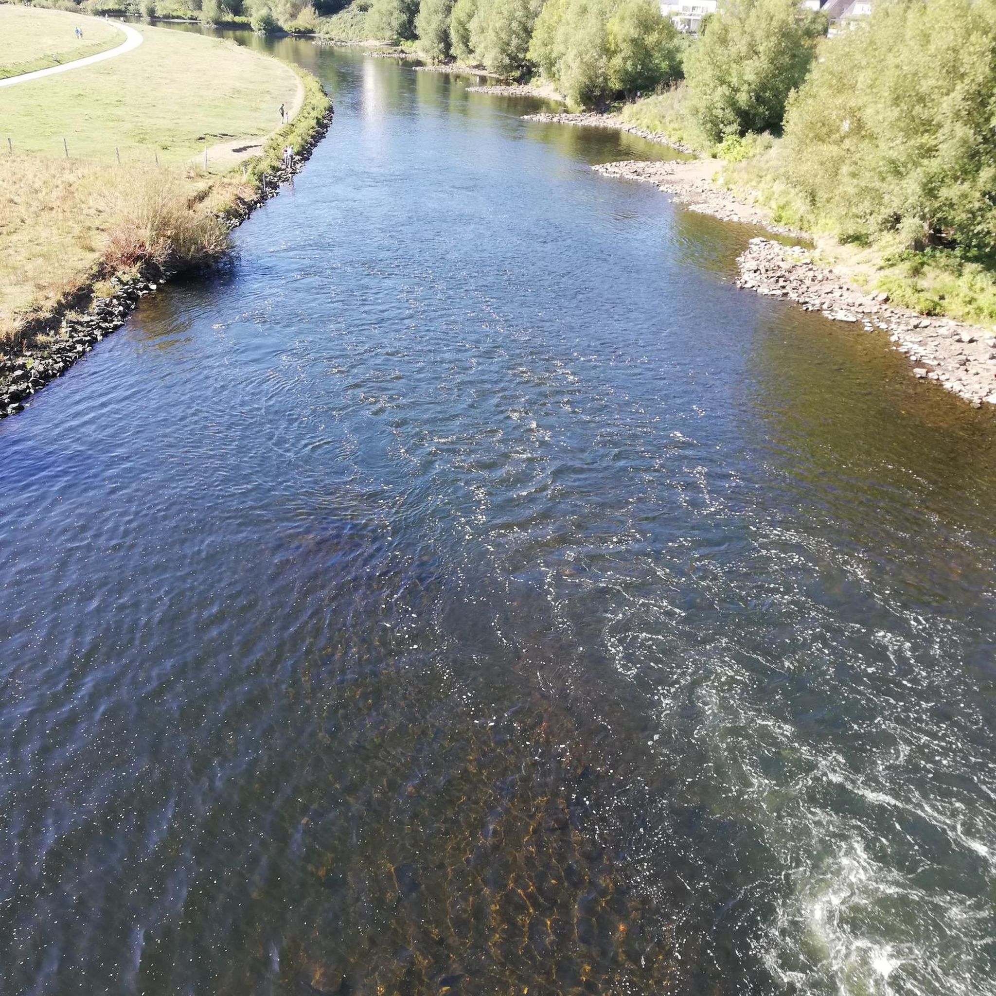
The Helpe Majeure crosses in Flaumont-Waudrechies an old flour mill dependent on the Hautmont Abbey, whose existence is attested since the 15th century and which was transformed into a marble sawmill in 1883 (in operation until 1990). The current visible buildings date from the 18th century and were probably built when the mill was sold by the abbey in 1745. Before 1905, the mill was purchased by the Maybon family who, instead of the mill, installed armored saws to cut the marble, using the river to provide the necessary energy. After the First World War the mill belonged to the Cordier family.
5
0
The square de la Madeleine is a square on one of the bastions of the city walls. You have a view of the steep Helpe valley.
2
0
Frequently Asked Questions
How many hiking trails are available around Larouillies?
There are over 15 hiking routes available around Larouillies, offering a variety of experiences through the local countryside. These trails are generally easy to moderate in difficulty.
Are there easy hiking trails suitable for beginners or casual walkers?
Yes, Larouillies offers several easy hiking trails. For example, the Beautiful view of the bocages loop from Glageon is an easy 4.3-mile (7.0 km) route that takes you through hedged farmland, perfect for a relaxed outing.
What kind of scenery can I expect on hikes in Larouillies?
The hiking trails in Larouillies are characterized by gentle hills, rural farmland, and tranquil water features. You'll often find yourself walking through open fields, hedged bocages, and past ponds, offering picturesque views of the agricultural landscape.
Are there any circular hiking routes in the area?
Many of the trails around Larouillies are designed as loops. A popular option is the Moulin de Flaumont loop from Avesnes, a moderate 6.9-mile (11.1 km) trail that explores the countryside and historical mill sites.
What are the best viewpoints or scenic spots on the trails?
For scenic views, consider routes that traverse the bocages. The Beautiful view of the bocages loop from Glageon is specifically named for its excellent vistas of the hedged farmland, a defining feature of the region.
Are there any trails that pass by water features or ponds?
Yes, the region is known for its tranquil ponds. The Étang des Moines North – Monks' Pond loop from Fourmies is a moderate 6.6-mile (10.6 km) trail that circles the Monks' Pond, providing lovely waterside views.
What do other hikers say about the trails in Larouillies?
The hiking routes in Larouillies are highly rated by the komoot community, with an average score of 4.5 stars from over 10 reviews. Hikers often praise the peaceful rural paths and the scenic beauty of the bocages and ponds.
Are there any historical or cultural landmarks to see while hiking?
Yes, some routes pass by historical sites. For instance, the Moulin de Flaumont loop from Avesnes often goes by historical mill sites. Additionally, you can explore nearby attractions like The Cordier mill or the Fortified Church of Saint Benoîte in Lerzy.
Are the trails around Larouillies suitable for families with children?
Many of the trails are accessible and generally easy to moderate, making them suitable for families. Shorter, easy loops like the Hiking loop from Saint-Hilaire-sur-Helpe (4.4 km) are good options for outings with children.
What is the best time of year to go hiking in Larouillies?
The region's gentle landscape makes it enjoyable for hiking across multiple seasons. Spring and autumn offer pleasant temperatures and vibrant natural colors, while summer provides longer daylight hours. Even winter can be beautiful, though some paths might be muddy.
Are there any longer, more challenging hikes for experienced hikers?
While there are no 'difficult' graded trails, some moderate routes offer a good distance. The Monks' Pond loop from Fourmies, at 6.3 miles (10.1 km), provides a moderate challenge with varied terrain around the pond.
Is public transport available to reach hiking trailheads?
Information on specific public transport links to trailheads is not detailed in the guide. It is generally recommended to check local bus schedules or consider driving to access the starting points of the trails around Larouillies.
Are dogs allowed on the hiking trails in Larouillies?
Most rural trails in France are generally dog-friendly, especially if kept on a leash. However, always be mindful of agricultural land and livestock. It's advisable to check local signage for any specific restrictions in nature reserves or private areas.
Most popular routes around Larouillies
Most popular attractions around Larouillies

Get inspired with the komoot mobile app


Explore more
Browse the best Hikes in other regions.
