The best walks and hikes around Fressies
4.5
(728)
2,030
hikers
170
hikes
Hiking around Fressies offers routes through a landscape characterized by flat terrain and proximity to waterways. The region features a network of paths suitable for exploring the local environment. These trails often follow canals and marsh areas, providing opportunities for outdoor activity. The elevation changes are minimal, making many routes accessible for various fitness levels.
Best hiking trails around Fressies
- The most popular hiking route is The Féchain Polishing Stone – the polishing stone loop from Féchain, a 5.8…
Last updated: May 13, 2026
5.0
(5)
24
hikers
Easy hike. Great for any fitness level. Easily-accessible paths. Suitable for all skill levels.
5.0
(2)
25
hikers
26.3km
06:41
70m
70m
Hard hike. Very good fitness required. Easily-accessible paths. Suitable for all skill levels.

Sign up for free
3.5
(4)
17
hikers
9.99km
02:33
30m
30m
Moderate hike. Good fitness required. Easily-accessible paths. Suitable for all skill levels.
5.0
(3)
10
hikers
17.3km
04:22
30m
30m
Moderate hike. Good fitness required. Easily-accessible paths. Suitable for all skill levels.
6
hikers
12.5km
03:10
40m
40m
Moderate hike. Good fitness required. Easily-accessible paths. Suitable for all skill levels.
Get access to more routes and recommendations from other explorers.
Sign up for free
Already have an account?
Our route recommendations are based on thousands of hikes, rides, and runs completed by other people on komoot.
Start today with a free account
Your next adventure awaits.
Login or Signup
Tips from the Community


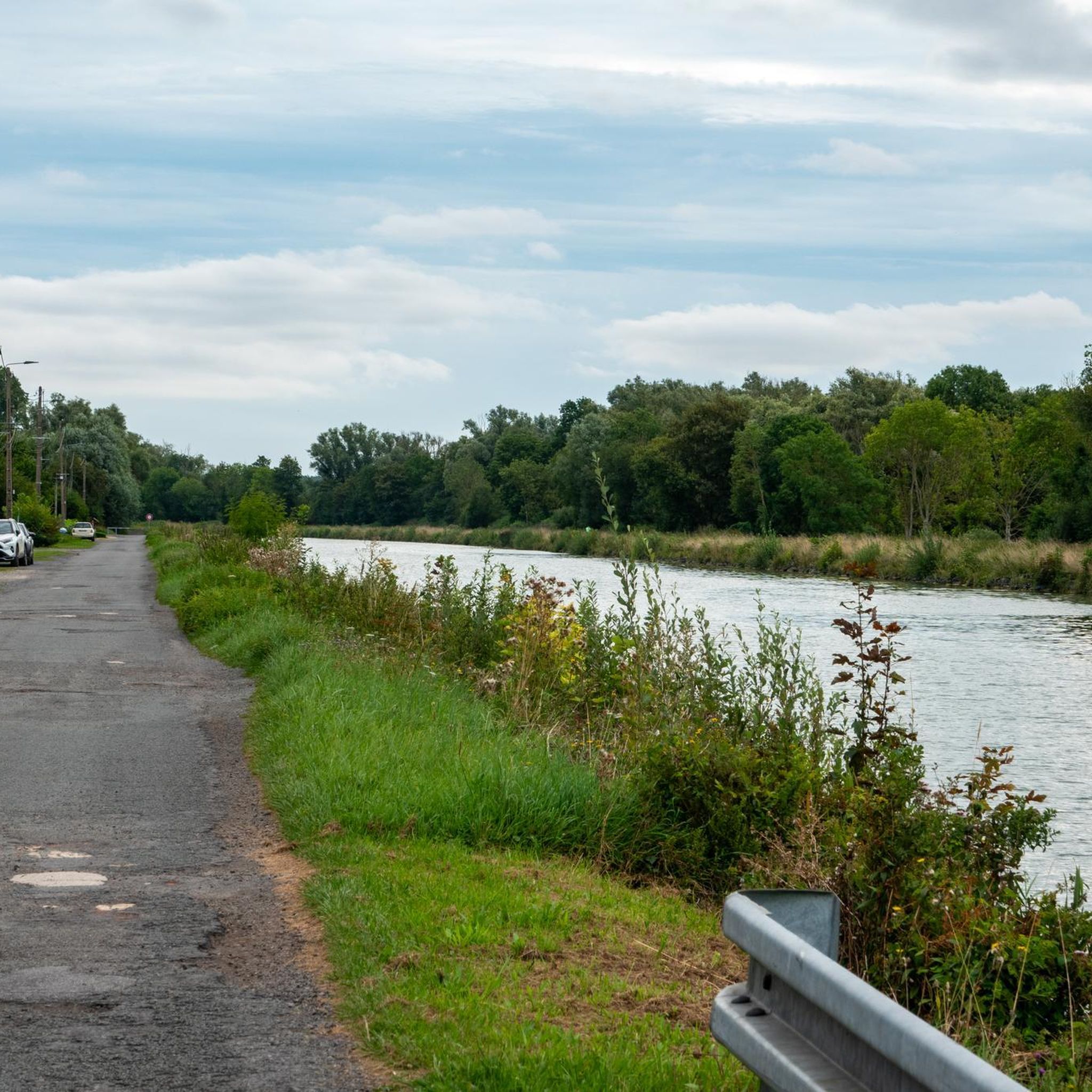
Bring high shoes for the passages in the fields; very pleasant hike which alternates between several panoramas (canal edge; fields; woods)
1
0

The menhir is located in the marsh of Aubigny-au-Bac, on a footpath leading to Brunémont. It is a block of Landenian sandstone 2.90 m high (including 1.48 m above ground) by 2.15 m wide and 0.70 m thick. It is said to have been sunk to about 2.40 m. Shaped like a horse's head, it is associated with a prehistoric megalith despite the absence of evidence.
0
0


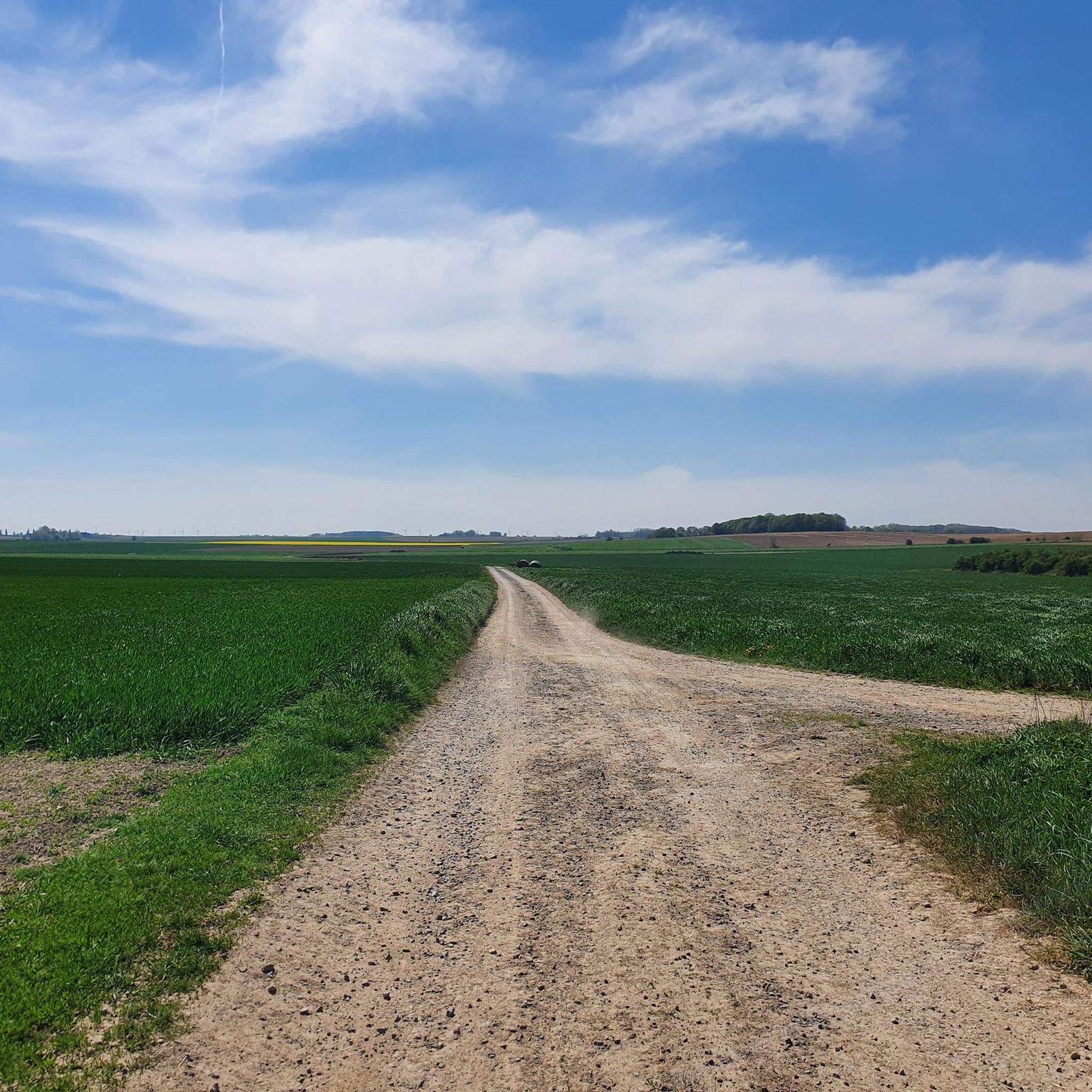
A beautiful path stretches out before me, covered with fine gravel that crunches gently under my shoes with every step. The fresh, clear air fills my lungs, while the shade of the trees protects me pleasantly from the sun. The nature around me radiates a calm that lets me breathe deeply. Finally, the view opens up and I see a red bridge that spans picturesquely over the valley - a perfect end to this peaceful walk.
0
0
very beautiful 55 km mountain bike ride
0
0

The Canal de la Sensée is a canal in northern France. The project was developed under Napoleon. In March 1806, the Imperial government ordered the construction of a canal connecting the Scarpe and the Scheldt. Work began under the direction of Augustin Honnorez in June 1819 and the Canal de la Sensée was opened to navigation in November 1820. Back then, the boats were pulled by men or horses who worked for ship owners. Shortly after World War I 1914-1918, horses were replaced by tractors. The Canal de la Sensée is part of the Dunkirk - Scheldt Canal.
3
0

The Féchain polisher dates from the Neolithic period (between the 10th and 20th centuries BC). It is then used for the polishing of flint axes: the basins of the upper face are formed by the polishing of the sides of the axes, the grooves by their edge.
1
0
Frequently Asked Questions
How many hiking trails are available around Fressies?
There are over 170 hiking trails around Fressies, offering a wide range of options for different preferences and fitness levels. This includes 85 easy routes, 81 moderate routes, and 5 more challenging trails.
What kind of terrain can I expect on hikes near Fressies?
The hiking terrain around Fressies is characterized by its flat landscape and proximity to waterways. You'll find many paths following canals and traversing marsh areas, with minimal elevation changes. This makes most routes accessible and enjoyable for various fitness levels.
Are there easy hikes suitable for beginners or families in Fressies?
Yes, Fressies offers a good selection of easy hikes perfect for beginners or families. With 85 easy routes available, you can find gentle paths that explore the local environment without significant climbs. An example is the Jetty on the Aubigny Marsh – the stone that grows loop from Aubigny-au-Bac, which is an easy 3.2-mile (5.2 km) path exploring marshland areas.
Are there any longer or more challenging hiking options in Fressies?
While Fressies is known for its generally flat terrain, there are longer routes for those seeking a greater challenge. For instance, the Paluel Lock – Lock on the Canal du Nord loop from Aubigny-au-Bac is a difficult 16.2-mile (26.1 km) trail that takes approximately 6 hours 39 minutes to complete.
What do other hikers enjoy most about hiking in Fressies?
The area is highly rated by the komoot community, with an average score of 4.5 stars from over 650 reviews. Reviewers often praise the peaceful canal-side paths and the unique marshland trails, highlighting the region's natural beauty and the accessibility of its routes.
Are there circular walks available around Fressies?
Yes, many of the trails around Fressies are designed as circular routes, allowing you to start and end your hike in the same location. This is convenient for planning your day. For example, the A nice variant – Bassin Rond loop from Féchain is a moderate 10.7-mile (17.3 km) circular route.
What interesting landmarks or attractions can I see near the hiking trails?
Around Fressies, you can explore various points of interest. Notable attractions include historical sites like The Big Rock and the stone that grows. You can also visit architectural highlights such as the Belfry of Cambrai and the Porte Notre-Dame de Cambrai.
Are there any castles or historical buildings to visit nearby?
Yes, the region around Fressies features several castles. You might consider visiting Gœulzin Castle or the Château de Selles. The The Orangery Castle is also a notable site, sometimes offering parking facilities.
Is Fressies a good destination for winter hiking?
Given the generally flat terrain and well-maintained paths along canals and through marshlands, Fressies can be suitable for winter hiking, provided conditions are safe. Always check local weather forecasts and trail conditions before heading out, as paths can become muddy or icy.
Are there places to eat or cafes near the hiking trails in Fressies?
While specific cafes directly on every trail are not guaranteed, the villages and towns surrounding Fressies, such as Aubigny-au-Bac and Féchain, offer local amenities where you can find places to eat or grab a coffee before or after your hike.
What is the best time of year to go hiking in Fressies?
The best time to hike in Fressies is typically during spring, summer, and early autumn. These seasons offer pleasant temperatures and drier conditions, making the canal-side and marshland paths more enjoyable. Spring brings blooming flora, while autumn showcases colorful foliage.
Are the trails around Fressies dog-friendly?
Many of the trails around Fressies, particularly those along canals and through open countryside, are generally dog-friendly. However, it's always recommended to keep your dog on a leash, especially in marshland areas or near livestock, and to check for any specific local regulations or signage on individual routes.
Most popular attractions around Fressies

Get inspired with the komoot mobile app


Explore more
Browse the best Hikes in other regions.
