The best walks and hikes around Lourches
4.6
(816)
1,868
hikers
61
hikes
Hiking around Lourches provides varied outdoor experiences within the Nord department of northern France. The landscape is characterized by green routes, canal paths along waterways like the Canal de l'Escaut, and areas influenced by former mining activity. Hikers can explore reclaimed industrial sites and enjoy the natural scenery of the broader Scarpe-Escaut Regional Nature Park. The terrain generally features gentle elevation changes, making it accessible for various activity levels.
Best hiking trails around Lourches
- The most popular hiking route is…
Last updated: June 26, 2026
4.6
(8)
35
hikers
Easy hike. Great for any fitness level. Easily-accessible paths. Suitable for all skill levels.
4.1
(20)
27
hikers
12.1km
03:04
20m
20m
Moderate hike. Good fitness required. Easily-accessible paths. Suitable for all skill levels.

Sign up for free
4.4
(5)
18
hikers
10.6km
02:41
30m
30m
Moderate hike. Good fitness required. Easily-accessible paths. Suitable for all skill levels.
4.4
(5)
14
hikers
11.2km
02:51
40m
40m
Moderate hike. Good fitness required. Easily-accessible paths. Suitable for all skill levels.
5.0
(1)
6
hikers
9.98km
02:33
40m
40m
Moderate hike. Good fitness required. Easily-accessible paths. Suitable for all skill levels.
Get access to more routes and recommendations from other explorers.
Sign up for free
Already have an account?
Our route recommendations are based on thousands of hikes, rides, and runs completed by other people on komoot.
Start today with a free account
Your next adventure awaits.
Login or Signup



Tips from the Community


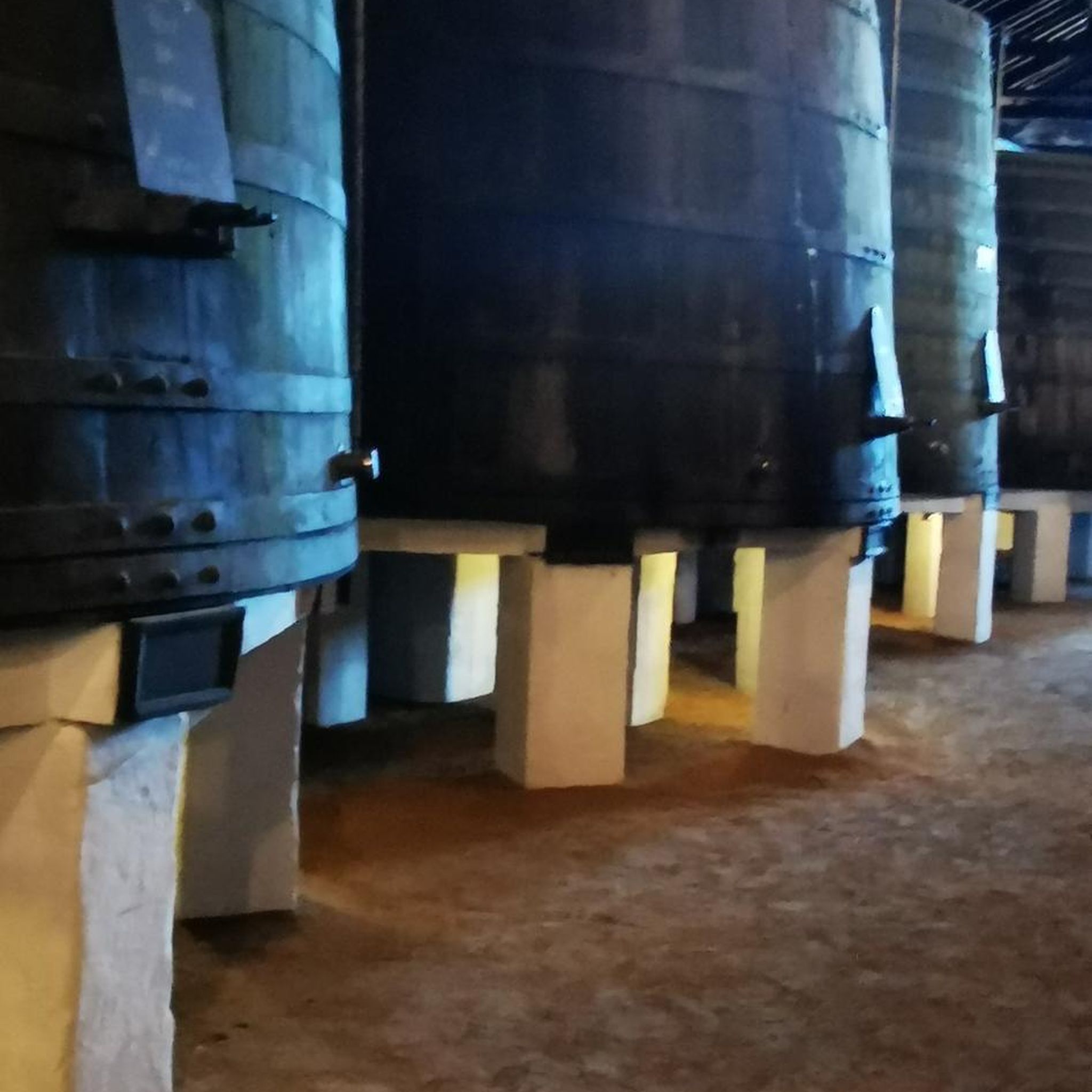
The Carrière des Peupliers in Abscon is a former chalk and marl quarry used to produce lime for the USINOR factory in Denain. These industrial activities have significantly changed the landscape of the Denaisis plain. After the end of the industrial activities, the land was transferred to the Nord department. Today, the area is an interesting place for nature lovers and offers a unique insight into the industrial history of the region.
1
0
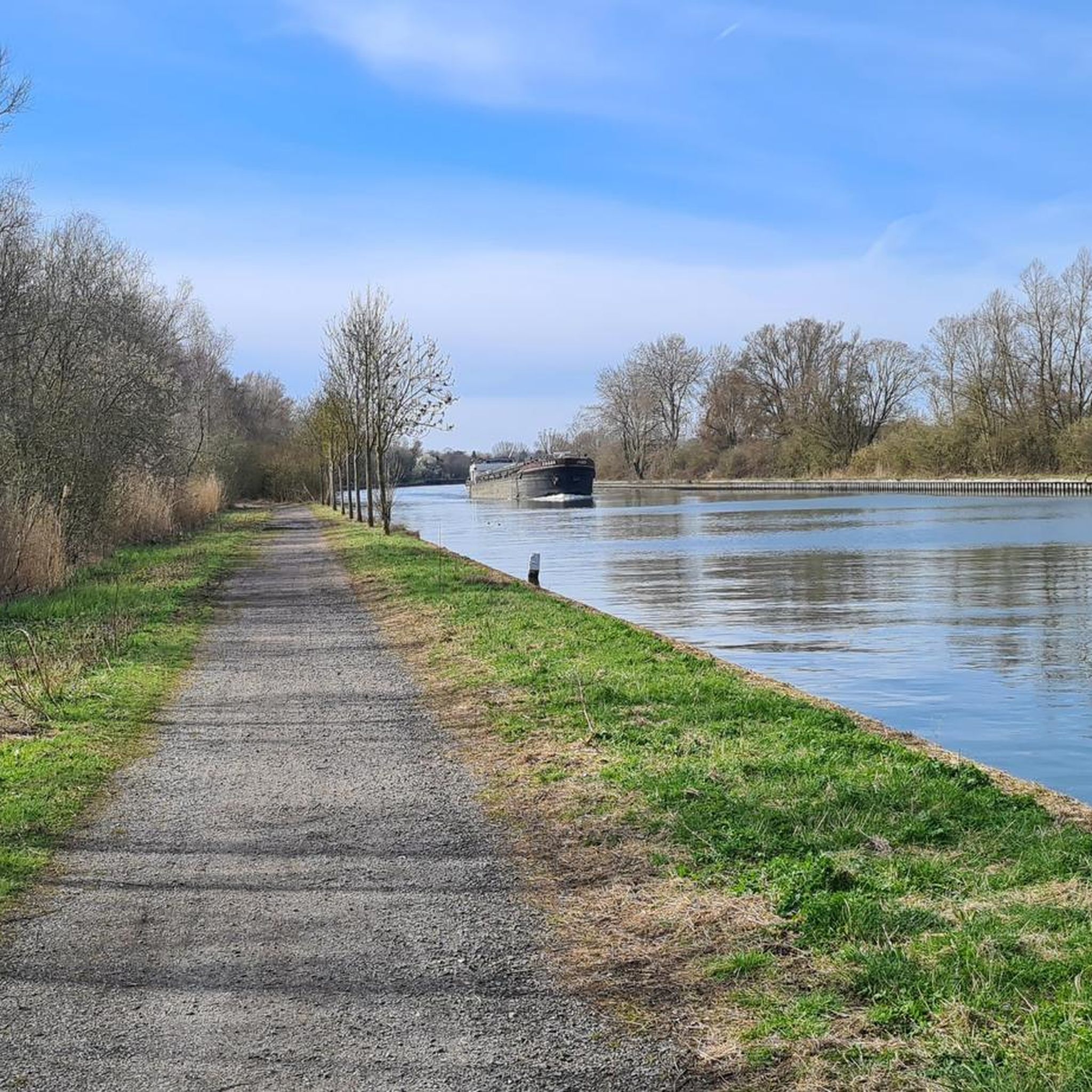
The Canal de la Sensée is a canal in northern France. The project was developed under Napoleon. In March 1806, the Imperial government ordered the construction of a canal connecting the Scarpe and the Scheldt. Work began under the direction of Augustin Honnorez in June 1819 and the Canal de la Sensée was opened to navigation in November 1820. Back then, the boats were pulled by men or horses who worked for ship owners. Shortly after World War I 1914-1918, horses were replaced by tractors. The Canal de la Sensée is part of the Dunkirk - Scheldt Canal.
3
0

Very nice area at the edge of the water and quiet for hiking!
0
0
Magnificent stroll to do at the edge of the water.
1
0
Very calm setting at the water's edge, ideal for a family walk.
0
0

The place is really pretty. It is equipped to park, and there is something to put down, have a picnic. The edge of the water ("the Bordeaux" :-) are also arranged, in cycle track, and lends itself well to jogging.
1
0
Nice natural space, with a very good surface for the practice of Gravel.
2
0
Frequently Asked Questions
How many hiking trails are available around Lourches?
There are over 60 hiking routes around Lourches, offering a diverse range of experiences. You'll find a good mix of options, including 24 easy trails and 36 moderate routes, catering to various fitness levels.
What is the general difficulty level of hiking trails near Lourches?
The hiking trails around Lourches are generally accessible, with the majority being classified as easy or moderate. There are 24 easy routes, perfect for a relaxed stroll, and 36 moderate routes for those looking for a bit more challenge. Only a couple of routes are considered difficult.
Are there family-friendly hiking options near Lourches?
Yes, many trails around Lourches are suitable for families. The landscape generally features gentle elevation changes, and there are 24 easy routes available. For example, the Bassin Rond – The Round Basin loop from Hordain is an easy 7 km walk that families can enjoy.
Can I bring my dog on the hiking trails around Lourches?
While specific regulations can vary, many natural areas and canal paths in the Nord department are generally dog-friendly, especially if dogs are kept on a leash. It's always recommended to check local signage or park rules for specific trails within the Scarpe-Escaut Regional Nature Park to ensure compliance.
Are there circular hiking routes available in the Lourches area?
Yes, many of the routes around Lourches are circular, allowing you to start and end at the same point. Examples include the popular Bassin Rond and the Scheldt – Bassin Rond Trailhead loop from Bouchain, which is an easy 7.7 km path, and the Bridge Over the Canal – Bassin Rond loop from Bouchain, a moderate 12 km trail.
What natural features or landmarks can I expect to see while hiking near Lourches?
Hikers can explore a blend of natural beauty and industrial heritage. You might encounter green routes, serene canal paths along waterways like the Canal de l'Escaut, and areas shaped by former mining activity. Notable features include the Trouée d'Arenberg, famous for its cobblestones, and the Arenberg Pit, a former mining site. The Terril des Argales, a reclaimed mining spoil heap, also offers a unique landscape with a fishing pond.
Are there any historical sites or unique attractions accessible from the trails?
Yes, the region's industrial past is evident in several unique sites. The Trouée d'Arenberg, while known for cycling, offers a historic path through a former mining region. You can also find the Arenberg Pit, a significant historical mining site. Additionally, the Country house of the Abbey of Saint-Aubert in Cambrai is another historical point of interest in the wider area.
What do other hikers enjoy most about the trails around Lourches?
The trails around Lourches are highly rated by the komoot community, with an average score of 4.6 stars from over 660 reviews. Hikers often praise the varied terrain, which includes canal paths, green routes, and unique former mining landscapes, offering accessible options for different ability levels.
What is the best time of year to go hiking around Lourches?
The region around Lourches, being in northern France, generally offers pleasant hiking conditions from spring through autumn. These seasons provide mild temperatures and lush greenery, ideal for exploring the canal paths and natural parks. Winter hikes are also possible, though conditions may be colder and muddier, especially on unpaved sections.
Is parking available at the trailheads around Lourches?
While specific parking information for every trailhead isn't always detailed, many rural and recreational areas in France, especially those within regional nature parks, typically offer designated parking areas near popular trail starting points. It's advisable to check local maps or komoot tour details for specific parking suggestions for your chosen route.
How can I access hiking trails near Lourches using public transport?
Access to trailheads by public transport can vary. Lourches itself is a commune, and while local bus services might connect to nearby towns, direct public transport to specific, more remote trailheads might be limited. For routes closer to larger towns like Bouchain or Hordain, public transport options might be more feasible. Planning your route in advance and checking local transport schedules is recommended.
Are there places to eat or stay near the hiking trails in Lourches?
Lourches and its surrounding communes offer various local amenities. You can find cafes and pubs in the towns and villages near the hiking areas. For accommodation, options range from local guesthouses to hotels in slightly larger nearby towns. It's a good idea to research specific establishments in the vicinity of your chosen hiking area.
Are there any longer, moderate hikes available for experienced hikers?
Yes, for those seeking a longer, moderate challenge, routes like the Carrière des Peupliers – Poplar's walk loop from Escaudain offer a 10.5 km journey with moderate elevation changes. Another option is the Poplar's walk – Carrière des Peupliers loop from Abscon, which spans 11.1 km.
Most popular attractions around Lourches

Get inspired with the komoot mobile app


Explore more
Browse the best Hikes in other regions.
