The best walks and hikes around Sars-Et-Rosières
4.4
(1133)
5,416
hikers
196
hikes
Hiking around Sars-Et-Rosières offers exploration within the Scarpe-Escaut Regional Natural Park, characterized by diverse ecosystems. The terrain includes forests, wetlands, and river valleys associated with the Scarpe river. Hikers can expect views of expansive fields and tranquil canals, with generally flat topography and minimal elevation changes across its trails. The local landscape also features unique elements like former slag heaps, adding to the varied terrain.
Best hiking trails around Sars-Et-Rosières
- The most popular hiking route is Marchiennes State Forest –…
Last updated: October 12, 2026
4.8
(15)
57
hikers
Easy hike. Great for any fitness level. Easily-accessible paths. Suitable for all skill levels.
4.6
(8)
48
hikers
11.9km
03:02
30m
30m
Moderate hike. Good fitness required. Easily-accessible paths. Suitable for all skill levels.

3.5
(40)
38
hikers
Moderate hike. Good fitness required. Easily-accessible paths. Suitable for all skill levels.
4.3
(7)
26
hikers
Moderate hike. Good fitness required. Easily-accessible paths. Suitable for all skill levels.
4.3
(11)
19
hikers
Moderate hike. Good fitness required. Easily-accessible paths. Suitable for all skill levels.
Get access to more routes and recommendations from other explorers.
Already have an account?
Our route recommendations are based on thousands of hikes, rides, and runs completed by other people on komoot.
Start today with a free account
Your next adventure awaits.
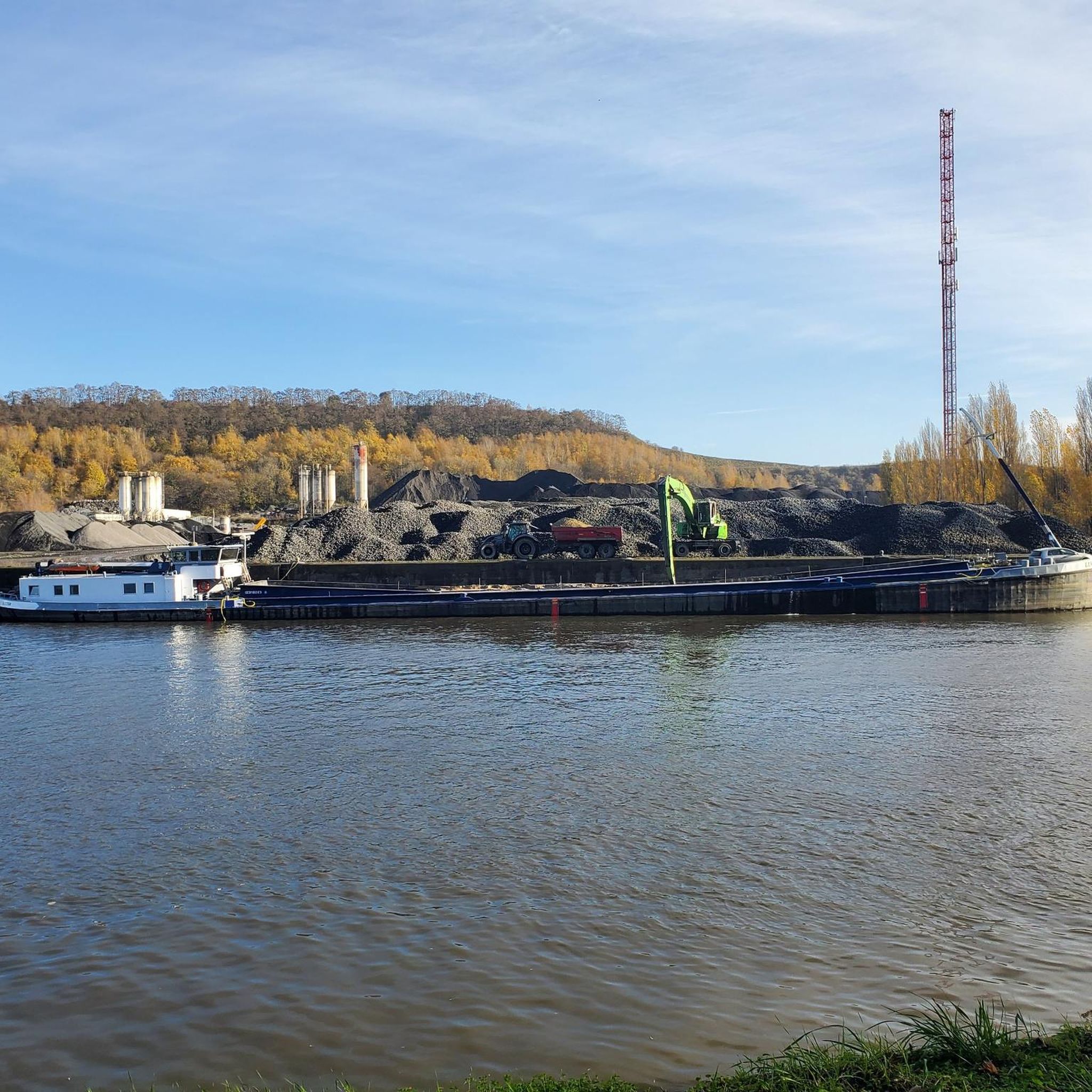
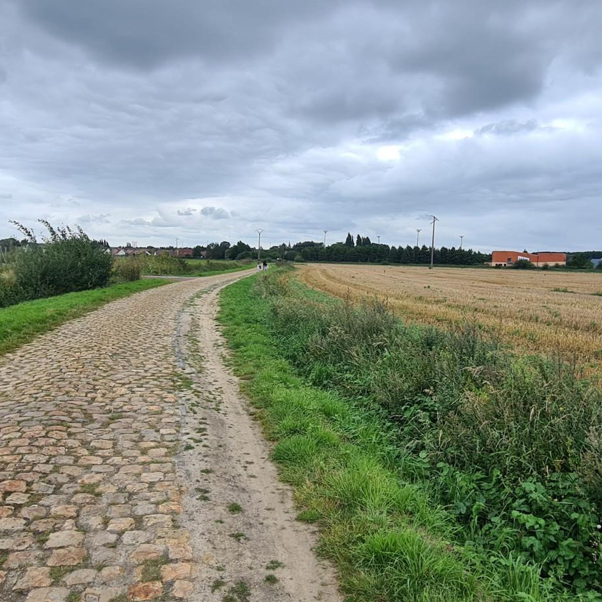

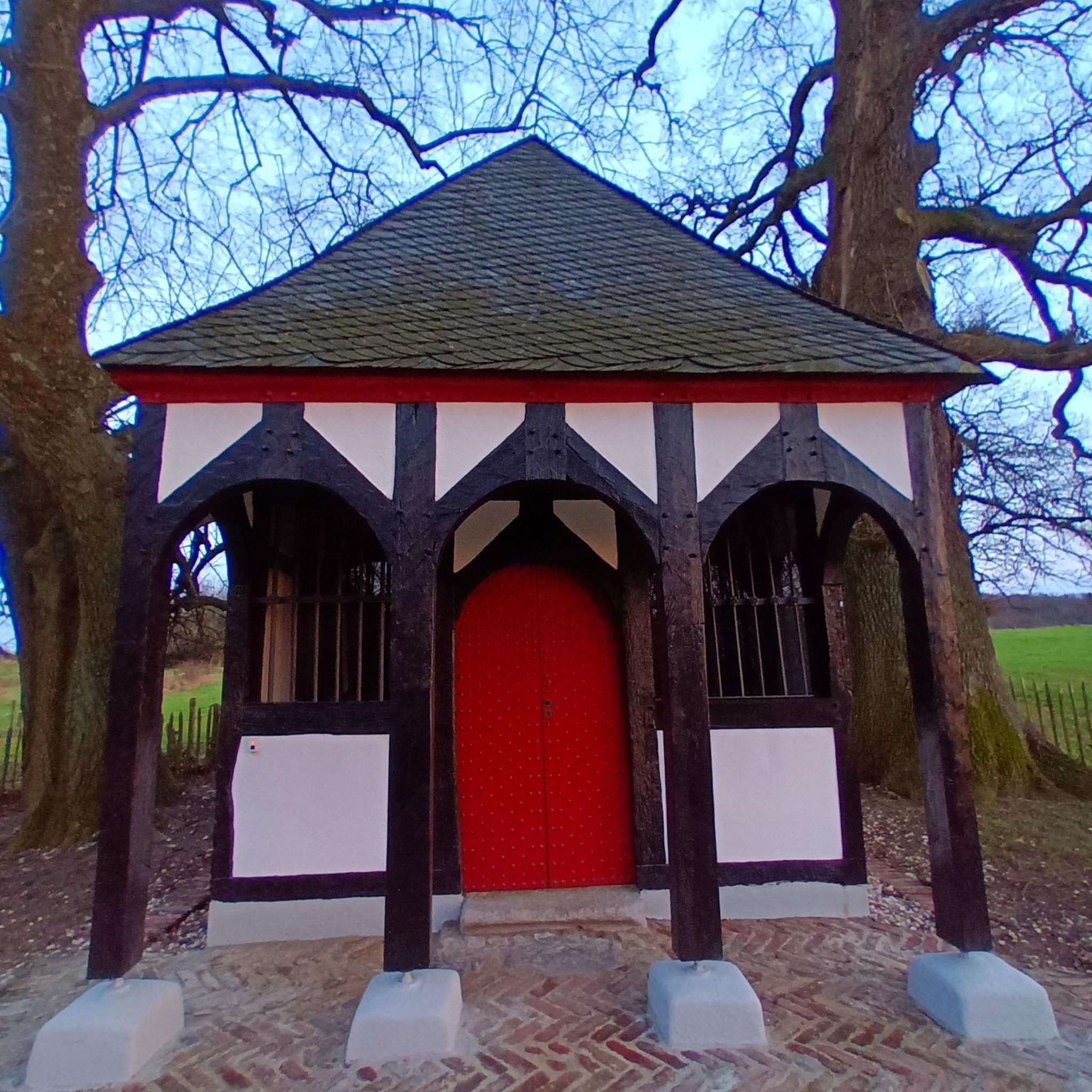
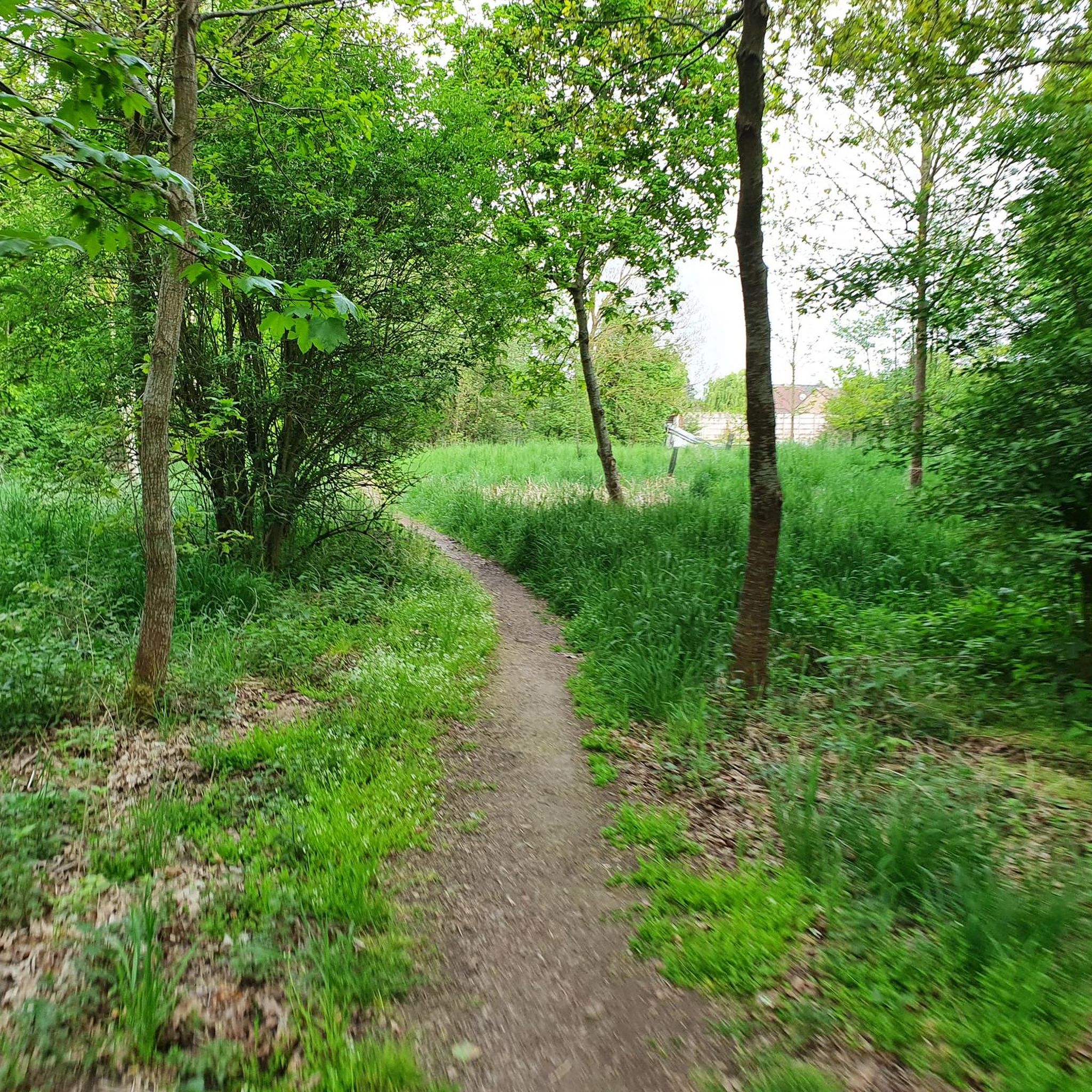
Tips from the Community

Enjoy nature instead of the hustle and bustle.
0
0


I recommend going there during the lily of the valley season. If you look carefully, you can find quite a few lily of the valley carpets.
0
0

Café/Brasserie open on Sunday afternoon.
0
0

Go in spring, summer and fall. Very beautiful forest for walks alone or with family.
0
0

Chemin de l'Abbé, very easy to ride
1
0
Frequently Asked Questions
How many hiking trails are available around Sars-Et-Rosières?
There are over 200 hiking routes in the Sars-Et-Rosières area, offering a wide range of options for different skill levels and preferences. You'll find everything from short, easy strolls to longer, more challenging excursions.
What kind of scenery can I expect on hikes in Sars-Et-Rosières?
Hiking around Sars-Et-Rosières offers diverse scenery within the Scarpe-Escaut Regional Natural Park. You can expect to explore forests, wetlands, and river valleys, with views of expansive fields and tranquil canals. The topography is generally flat, providing a peaceful natural setting.
Are there easy trails suitable for families or beginners?
Yes, the region is well-suited for families and beginners, with over 110 easy routes. An example is the Marchiennes State Forest – Marchiennes Forest loop from Croix-ou-Pile, which is an easy 2.4-mile (3.9 km) trail through forest areas.
Are there any circular walks in the area?
Many of the trails around Sars-Et-Rosières are circular, allowing you to start and end at the same point. For instance, the Il était une fois loop from Landas is a 7.4-mile (11.9 km) circular route through woodlands and agricultural areas.
What are some interesting places to see along the hiking trails?
The area features several natural attractions. You can explore beautiful lakes such as Étang des Argales or Goriaux Pond. The Germignies Marsh and Spoil Heap also offers unique natural landscapes to discover.
Is Sars-Et-Rosières suitable for dog-friendly hikes?
Given the prevalence of natural parks, forests, and open fields, many trails around Sars-Et-Rosières are suitable for hiking with dogs. Always ensure your dog is under control and check local regulations for specific areas within the Scarpe-Escaut Regional Natural Park.
What do other hikers say about the trails in Sars-Et-Rosières?
The trails in Sars-Et-Rosières are highly regarded by the komoot community, with an average rating of 4.4 stars from over 800 reviews. Hikers often praise the peaceful forest paths, well-maintained routes, and the tranquil atmosphere of the region's natural landscapes.
Are there longer or more challenging hikes available?
While the region is generally flat, there are moderate and a few more challenging routes for those seeking longer distances. For example, the Abbé Car Park – Marchiennes Forest loop from Tilloy-lez-Marchiennes is a moderate 7.2-mile (11.6 km) trail that offers a good workout.
What is the best season for hiking in Sars-Et-Rosières?
The flat terrain and diverse ecosystems of forests and wetlands make Sars-Et-Rosières enjoyable for hiking throughout much of the year. Spring and autumn offer pleasant temperatures and beautiful foliage, while summer provides lush greenery. Winter hikes can also be peaceful, especially in the sheltered forest areas.
Are there parking facilities at the trailheads?
Many popular trailheads and starting points in the Sars-Et-Rosières area, especially those near villages or larger natural sites like the Marchiennes Forest, typically offer designated parking areas. It's advisable to check the specific tour details on komoot for parking information at your chosen starting point.
Can I reach the hiking areas by public transport?
While specific public transport options vary by starting point, some villages and towns near the hiking areas may be accessible by local bus services. For detailed information, it's best to consult local transport schedules for the Scarpe-Escaut Regional Natural Park area.
Are the hiking routes generally accessible for people with limited mobility?
The region's generally flat topography means many paths are relatively even, which can be beneficial for accessibility. However, specific trail conditions can vary, with some paths being unpaved or having roots. For the most accessible options, look for routes explicitly marked as suitable for wheelchairs or strollers on komoot.
Most popular routes around Sars-Et-Rosières
Most popular attractions around Sars-Et-Rosières

Get inspired with the komoot mobile app


Explore more
Browse the best Hikes in other regions.
