The best walks and hikes around Lys-Lez-Lannoy
4.5
(1746)
11,451
hikers
12
hikes
Hiking around Lys-Lez-Lannoy offers routes through a generally flat landscape, characterized by canals, agricultural fields, and small urban-fringe green spaces. The terrain typically features minimal elevation changes, making many trails accessible for various fitness levels. Paths often follow waterways or connect historical points of interest like chapels and castle ruins. The region provides opportunities for easy walks and moderate excursions through its varied, low-lying environment.
Best hiking trails around Lys-Lez-Lannoy
- The most popular hiking route is La Maison du Canal…
Last updated: October 7, 2026
11
hikers
10.2km
02:38
50m
50m
Moderate hike. Good fitness required. Easily-accessible paths. Suitable for all skill levels.
4.7
(3)
6
hikers
8.48km
02:11
40m
40m
Moderate hike. Good fitness required. Easily-accessible paths. Suitable for all skill levels.

5
hikers
7.81km
02:00
30m
30m
Easy hike. Great for any fitness level. Easily-accessible paths. Suitable for all skill levels.
3
hikers
5.78km
01:29
20m
20m
Easy hike. Great for any fitness level. Easily-accessible paths. Suitable for all skill levels.
5
hikers
Moderate hike. Good fitness required. Easily-accessible paths. Suitable for all skill levels.
Get access to more routes and recommendations from other explorers.
Already have an account?
Our route recommendations are based on thousands of hikes, rides, and runs completed by other people on komoot.
Start today with a free account
Your next adventure awaits.

Tips from the Community

Until 1983, the last 300 meters of line 271 000, Roubaix-Wattrelos, ran here. At the other end, it connected to Belgian line 85 to Leupegem, Oudenaarde. The only 3.6 km long and never electrified line 271 000 no longer carried passenger trains after 1932.
3
0
The blue arch bridge crossing the Canal de Roubaix near the Sartel lock dates from 1999. It is 65m long and 24m wide. Until 1920, Roubaix and Wattrelos were connected only by a narrow bridge over the Sartel lock. This bridge was intended to lead to the Roubaix-Wattrelos train station, built in 1878 in Roubaix between the Pile and Trois Ponts intersections. It was only after the First World War, in 1920, that a municipal decree officially authorized the construction of a bridge over the Sartel. The residents of Wattrelos undoubtedly benefited from the reconstruction of the canal bridges, which had been completely destroyed by the German army during its retreat. The first Sartel Bridge, built entirely of concrete and located on Rue Albert 1er, was dedicated to the brave King of the Belgians, who earned the nickname "Soldier King" for his leadership of the armies during the World War. This bridge was located where the current bridge was later built, about a hundred meters upstream from the original crossing. Source: ateliers-memoire.com
3
0
The Sartel lock is the last of the 12 locks on the 12.2 km long Canal de Roubaix, which continues from the French-Belgian border as the "Canal de l'Espierre".
2
0
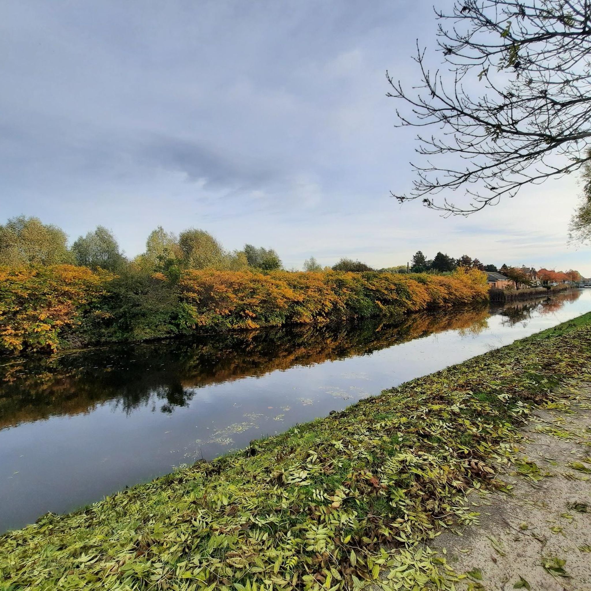
The Passerelle Sainte-Marguerite is a pedestrian bridge over the Canal de Roubaix. North of the canal lie the PCUK site and Wattrelos; to the south lies Lys-lez-Lannoy. The water of the Spière (l'Espierre), which flows right next to the canal here, is an indeterminate color. The traces of historical pollution are far from gone...
2
0
The street art on the cabinet at the Sartel lock is by Pi80, one of the members of the Collectif Renart from Lille.
3
0
On maps of the border between Calais and Mertiz, and a map from the King of France's army dating from 1773, we discover, among other places, "Pont de Gris mon Pont" along the Espierre Brook. The name "Grimonpont" also appears in the American Revolutionary War, particularly in the famous Battle of Tourcoing on May 18, 1794. This bridge, dating from 1843 and formerly known as "Pont Coulon," was destroyed by the German army on October 17, 1918. A new metal structure was built in 1920, which was rebuilt in 1976. The current bridge opened in 2008 and functions like its predecessors: a drawbridge with a counterweight system on the Leers side. This system is no longer in use. The Grimonpont is a metal bridge that allows vehicles to cross the Roubaix Canal, which connects Roubaix to the Belgian border. Source: leershistorique.fr
2
0
Large mural depicting several of Leers's landmarks: the mill, St. Vaast Church, etc. I couldn't determine who created it or when. It appears to be several years old.
2
0

Frequently Asked Questions
How many hiking trails are available around Lys-Lez-Lannoy?
There are over 540 hiking routes in the Lys-Lez-Lannoy region, catering to various preferences. The majority, over 300, are classified as easy, with an additional 227 moderate trails and a few more challenging options.
Are there many easy hiking options in Lys-Lez-Lannoy?
Yes, the region is well-suited for easy hikes, with over 300 routes classified as such. These trails typically feature minimal elevation changes and often follow canals or agricultural paths. An example is the Saint Thérèse Chapel loop from Hem, an easy 3.5-mile (5.7 km) path offering a quiet walk.
Can I find family-friendly hikes in the area?
Absolutely. The generally flat landscape and numerous easy routes make Lys-Lez-Lannoy ideal for family outings. Many trails follow canals or pass through green spaces, providing accessible and enjoyable walks for all ages. Look for routes with shorter distances and minimal elevation.
Are dogs allowed on the hiking trails in Lys-Lez-Lannoy?
Most trails in the Lys-Lez-Lannoy area are dog-friendly, especially those along canals and through agricultural fields. It's always recommended to keep your dog on a leash, particularly near livestock or in more populated areas, and to check local signage for any specific restrictions.
What kind of scenery can I expect on hikes around Lys-Lez-Lannoy?
Hikes around Lys-Lez-Lannoy offer a landscape characterized by canals, agricultural fields, and small urban-fringe green spaces. You'll often find paths following waterways, providing peaceful views, and connecting historical points of interest like chapels and castle ruins.
Are there any circular walks available in Lys-Lez-Lannoy?
Yes, many of the routes in Lys-Lez-Lannoy are designed as circular walks, allowing you to start and end at the same point. An example is the Leers-Nord Lock – La Maison du Canal loop from Lys-lez-Lannoy, a 5.4-mile (8.6 km) trail through canal-side scenery.
What are some interesting landmarks or attractions to see along the trails?
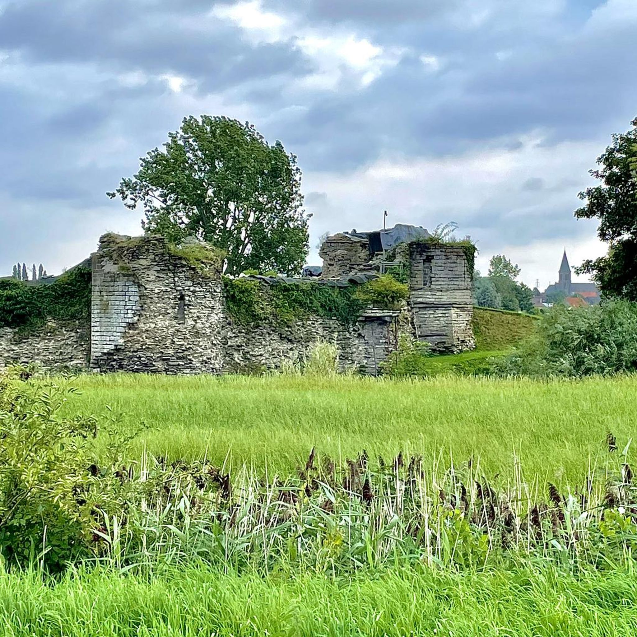
The region offers several points of interest. You can explore historical sites like the Ruins of la Royère castle, or discover unique features such as the Belgium–France Border on the Canal de Roubaix. Many trails also pass by charming chapels and other local heritage sites.
Is there parking available near the trailheads?
Parking availability varies by trailhead. In Lys-Lez-Lannoy and surrounding villages, you can often find street parking or small public car parks near popular starting points for trails, especially those close to urban areas or local amenities. It's advisable to check specific route details for recommended parking spots.
What is the best time of year to go hiking in Lys-Lez-Lannoy?
The best time for hiking in Lys-Lez-Lannoy is typically from spring through autumn (April to October), when the weather is mild and the landscape is green. The flat terrain also makes it suitable for pleasant walks during drier winter days, though paths can be muddy after rain.
Are there any more challenging trails for experienced hikers?
While the region is predominantly flat, there are a few routes classified as difficult, offering slightly longer distances or more varied terrain compared to the many easy and moderate options. These can provide a good workout for experienced hikers looking for a longer excursion within the area's characteristic landscape.
What do other hikers enjoy most about hiking in Lys-Lez-Lannoy?
The area is highly rated by the komoot community, with an average score of 4.5 stars from over 1,500 reviews. Reviewers often praise the peaceful canal-side paths, the accessibility of the trails for all fitness levels, and the opportunity to discover local history and nature in a relaxed setting.
Can I find trails that pass by cafes or places to rest?
Given the urban-fringe nature of some areas, it is possible to find trails that pass near villages or towns where cafes and small eateries are available. Routes that follow canals or connect different settlements are more likely to offer opportunities for a break and refreshment.
Most popular routes around Lys-Lez-Lannoy
Most popular attractions around Lys-Lez-Lannoy

Get inspired with the komoot mobile app


Explore more
Browse the best Hikes in other regions.
