The best walks and hikes around Wattrelos
4.5
(3017)
18,377
hikers
15
hikes
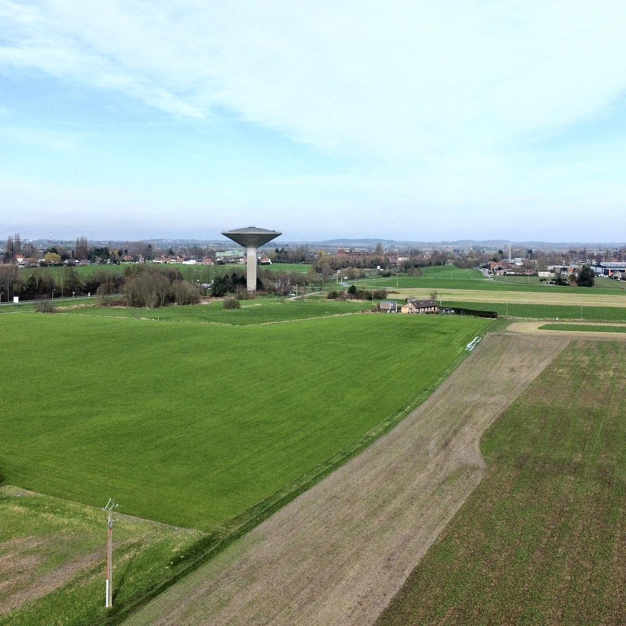
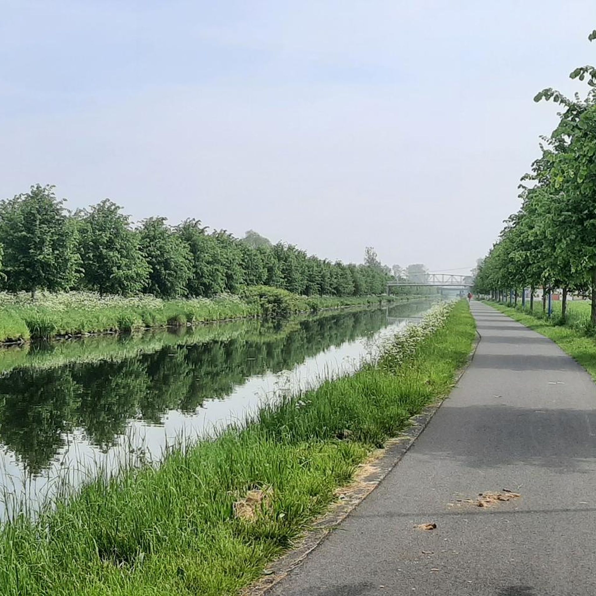
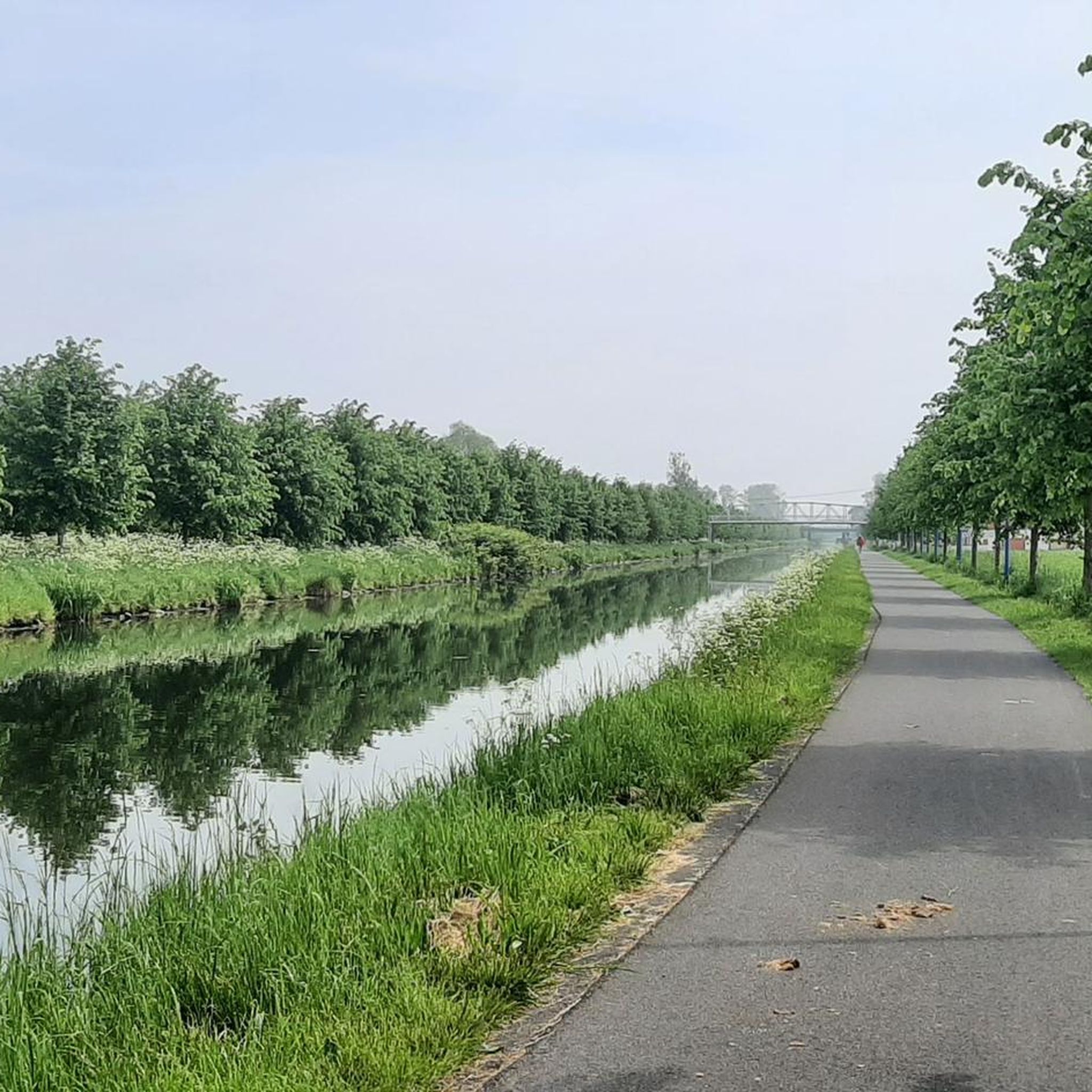
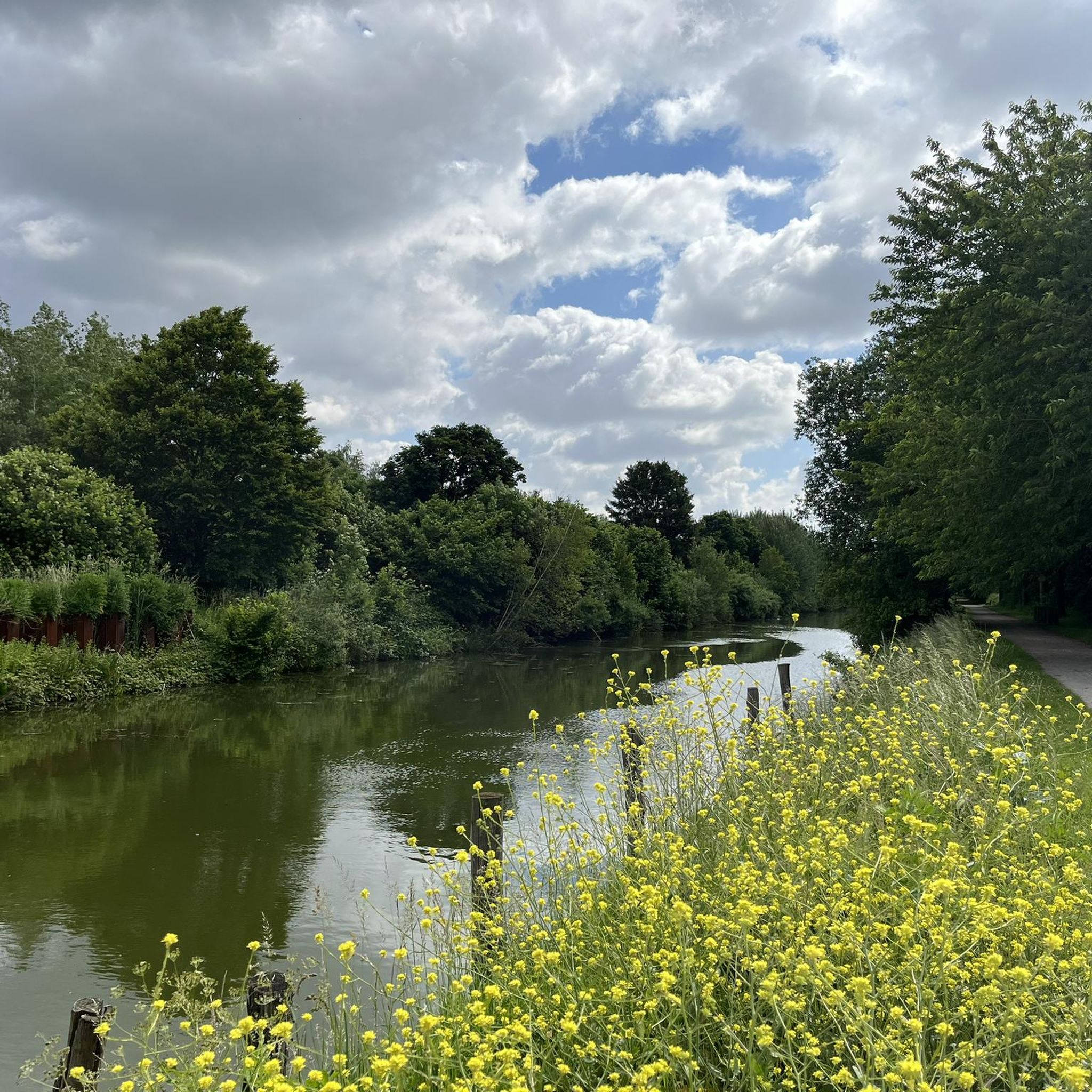
Hiking around Wattrelos offers routes through a largely flat landscape, characterized by its network of canals and locks. The region features gentle paths alongside waterways, providing accessible outdoor experiences. Elevation changes are minimal, making the area suitable for leisurely walks and easy hikes. Green spaces like Parc du Lion and Parc de Beaulieu provide additional natural features for exploration.
Best hiking trails around Wattrelos
- The most popular hiking route is La Maison du Canal – Leers-Nord Lock loop from Wattrelos, a 5.4 miles (8.6 km) trail that takes 2 hours 10 minutes to complete, following the canal and passing by the Leers-Nord Lock.
- Another top favourite among local hikers is Leers-Nord Lock – La Maison du Canal loop from Wattrelos, an easy 4.8 miles (7.7 km) path. This route offers views of the canal and surrounding flat terrain.
- Local hikers also love the Sartel Artel Mural – Canal de Roubaix loop from Wattrelos, a 3.5 miles (5.7 km) trail leading through canal-side paths, often completed in about 1 hour 27 minutes.
- Hiking around Wattrelos is defined by canal paths, locks, and open, flat landscapes. The network offers options for both easy and moderate ability levels.
- The routes in Wattrelos are highly rated by the komoot community with an average score of 4.4 stars from over 2,900 reviews. More than 18,000 hikers have used komoot to explore Wattrelos's varied terrain.
Last updated: May 12, 2026
4.7
(3)
18
hikers
8.63km
02:10
10m
10m
Moderate hike. Good fitness required. Easily-accessible paths. Suitable for all skill levels.
15
hikers
7.72km
01:57
10m
10m
Easy hike. Great for any fitness level. Easily-accessible paths. Suitable for all skill levels.

Sign up for free
6
hikers
5.71km
01:27
10m
10m
Easy hike. Great for any fitness level. Easily-accessible paths. Suitable for all skill levels.
4.0
(2)
24
hikers
3.58km
00:54
0m
0m
Easy hike. Great for any fitness level. Easily-accessible paths. Suitable for all skill levels.
5.0
(1)
5
hikers
4.48km
01:08
10m
10m
Easy hike. Great for any fitness level. Easily-accessible paths. Suitable for all skill levels.
Get access to more routes and recommendations from other explorers.
Sign up for free
Already have an account?
Our route recommendations are based on thousands of hikes, rides, and runs completed by other people on komoot.
Start today with a free account
Your next adventure awaits.
Login or Signup

Tips from the Community

The blue arch bridge crossing the Canal de Roubaix near the Sartel lock dates from 1999. It is 65m long and 24m wide. Until 1920, Roubaix and Wattrelos were connected only by a narrow bridge over the Sartel lock. This bridge was intended to lead to the Roubaix-Wattrelos train station, built in 1878 in Roubaix between the Pile and Trois Ponts intersections. It was only after the First World War, in 1920, that a municipal decree officially authorized the construction of a bridge over the Sartel. The residents of Wattrelos undoubtedly benefited from the reconstruction of the canal bridges, which had been completely destroyed by the German army during its retreat. The first Sartel Bridge, built entirely of concrete and located on Rue Albert 1er, was dedicated to the brave King of the Belgians, who earned the nickname "Soldier King" for his leadership of the armies during the World War. This bridge was located where the current bridge was later built, about a hundred meters upstream from the original crossing. Source: ateliers-memoire.com
3
0
The Sartel lock is the last of the 12 locks on the 12.2 km long Canal de Roubaix, which continues from the French-Belgian border as the "Canal de l'Espierre".
2
0
The Canal de Roubaix connects the Deûle River to the Scheldt via the Espierres Canal. Plans for this canal date back to 1821, and it was deemed necessary to supply water and coal to the rapidly developing textile industries in Roubaix and Tourcoing. The first section of the canal begins at the Deûle and includes the canalization of part of the Marque River. This section opened in 1831. The connection from Roubaix to the Belgian-French border was also completed in 1843. The section through Belgium to the Scheldt, the Espierres Canal, was also opened at that time. A watershed existed between the two sections of the canal (between the Lys and the Scheldt), and a tunnel was planned, but this led to difficulties and delays. Therefore, an alternative route was chosen further north, also serving Tourcoing. This more northerly section opened in 1877. A branch of this section of the canal is the Canal de Tourcoing. This was completed in 1893. In 1985, the canal was closed due to dilapidated infrastructure. However, it was restored as an industrial heritage site and reopened to shipping in 2010. The canal is 20 km long and has 12 locks. Source: Wikipedia
3
0
Bridge over the Roubaix-L'Espierre Canal. Until 1983, line 271 000, Roubaix-Wattrelos, crossed here, connecting to Belgian line 85 to Leupegem, Oudenaarde. Passenger trains stopped running on the only 3.6 km long and never electrified line 271 000 after 1932. North of the canal bridge, the old railway bed is a footpath, but southward, the bridge has no connection to a path; it ends at the M9. Incidentally, the railway line only ran a few hundred meters further. A number of street art pieces have been installed under the bridge.
2
0
The Passerelle Sainte-Marguerite is a pedestrian bridge over the Canal de Roubaix. North of the canal lie the PCUK site and Wattrelos; to the south lies Lys-lez-Lannoy. The water of the Spière (l'Espierre), which flows right next to the canal here, is an indeterminate color. The traces of historical pollution are far from gone...
2
0
The street art on the cabinet at the Sartel lock is by Pi80, one of the members of the Collectif Renart from Lille.
3
0
To mark the Marian Year of 1954, the Saint-Malo parish of Wattrelo erected a statue in honor of Our Lady of Fatima (feast day: May 13). It is located at the corner of Boulevard Pierre Mendès-France and Rue Gabriel Péri. In 1917, the Virgin Mary is said to have appeared six times to three young shepherdesses in Fatima, in central Portugal.
2
0
A little further downstream than the Leers-Noord lock, you can cross the canal again. The path on the north side of the canal leads to Estaimpuis; the one on the south side leads to Leers-Noord.
2
0
Frequently Asked Questions
How many hiking trails are available around Wattrelos?
There are over 15 hiking routes around Wattrelos, offering a variety of options for exploring the region's flat landscapes and waterways. These include both easy and moderate trails.
Are there easy hiking trails suitable for beginners or families in Wattrelos?
Yes, Wattrelos is ideal for beginners and families. The region is characterized by its largely flat terrain and gentle paths, especially along the canals. There are 8 easy routes available, such as the Leers-Nord Lock – La Maison du Canal loop from Wattrelos, which is 4.8 miles (7.7 km) long.
Can I bring my dog on the hiking trails in Wattrelos?
Most of the hiking trails around Wattrelos, particularly those along the canals and through open landscapes, are dog-friendly. It's always recommended to keep your dog on a leash, especially near waterways or in areas where wildlife might be present.
Are there any circular walks in Wattrelos?
Yes, many of the routes in Wattrelos are designed as circular walks, allowing you to start and end at the same point. For example, the La Maison du Canal – Leers-Nord Lock loop from Wattrelos is a popular 5.4-mile (8.6 km) loop trail.
What kind of scenery can I expect on the hikes around Wattrelos?
The hikes around Wattrelos primarily feature a flat landscape dominated by a network of canals and locks. You'll enjoy peaceful canal-side paths, open fields, and views of the surrounding countryside. The routes offer a tranquil experience, often passing by points of interest like the Leers-Nord Lock.
What do other hikers enjoy most about hiking in Wattrelos?
The komoot community highly rates the trails in Wattrelos, with an average score of 4.4 stars from over 2,800 reviews. Hikers often praise the peaceful canal paths, the flat and accessible terrain, and the opportunity for leisurely walks in a natural setting.
Are there any interesting landmarks or attractions along the hiking routes?
Yes, the routes often pass by interesting features. You might encounter the Belgium–France Border on the Canal de Roubaix, which is a notable man-made monument. Other nearby attractions include the Port of Wambrechies and the Espierres Canal.
What is the best time of year to go hiking in Wattrelos?
The flat terrain and canal-side paths of Wattrelos make it suitable for hiking throughout much of the year. Spring and autumn offer pleasant temperatures and colorful scenery. Even in winter, many routes remain accessible, though conditions can be damp, so appropriate footwear is recommended.
Are there any trails with historical interest around Wattrelos?
While the region is primarily known for its natural waterways, some routes offer glimpses into local history, particularly concerning the canal network and its role in the area. The Belgium–France Border on the Canal de Roubaix is a point of historical significance you might encounter.
Are there any natural monuments or green spaces to explore near Wattrelos?
Yes, beyond the canals, you can find natural areas. The Colline de Marchenelle is a nearby natural monument, and the Vert Bois de Blandain offers a forest environment for exploration.
Are the trails around Wattrelos suitable for winter hiking?
Given the largely flat and well-maintained paths along the canals, many trails in Wattrelos are suitable for winter hiking. While snow cover is not always heavy, it's advisable to wear waterproof footwear and dress in layers. Always check local weather conditions before heading out.
Are there any routes that feature art or unique urban elements?
Yes, some routes integrate urban elements and local art. For instance, the Sartel Artel Mural – Canal de Roubaix loop from Wattrelos is an easy 3.5-mile (5.7 km) route that allows you to discover local street art alongside the canal.
Most popular routes around Wattrelos
Most popular attractions around Wattrelos

Get inspired with the komoot mobile app


Explore more
Browse the best Hikes in other regions.
