The best road cycling routes around Boningen
4.6
(456)
10,168
riders
300
rides
Road cycling around Boningen, Switzerland, offers diverse terrain characterized by rolling hills, forests, and river valleys, including the Aare and Wigger rivers. The region features a mix of paved surfaces and varied elevation, with some routes in the Tafeljura presenting gradients up to 15%. Cyclists can find both challenging ascents and more moderate paths, making it suitable for different fitness levels.
Best road cycling routes around Boningen
- The most popular road cycling route is Tüfelsschlucht Road – Chilchzimmersattel loop from…
Last updated: June 26, 2026
3.0
(1)
119
riders
50.8km
03:07
1,150m
1,150m
Hard road ride. Very good fitness required. Mostly well-paved surfaces and easy to ride.
4.6
(7)
92
riders
35.9km
01:40
110m
110m
Moderate road ride. Great for any fitness level. Some segments of this route may be unpaved and difficult to ride.

Sign up for free
4.8
(4)
66
riders
38.8km
01:47
360m
360m
Moderate road ride. Good fitness required. Mostly well-paved surfaces and easy to ride.
5.0
(3)
37
riders
53.1km
02:31
430m
430m
Moderate road ride. Good fitness required. Some segments of this route may be unpaved and difficult to ride.
5.0
(1)
34
riders
39.7km
01:52
390m
390m
Moderate road ride. Good fitness required. Mostly well-paved surfaces and easy to ride.
Get access to more routes and recommendations from other explorers.
Sign up for free
Already have an account?
Our route recommendations are based on thousands of hikes, rides, and runs completed by other people on komoot.
Start today with a free account
Your next adventure awaits.
Login or Signup
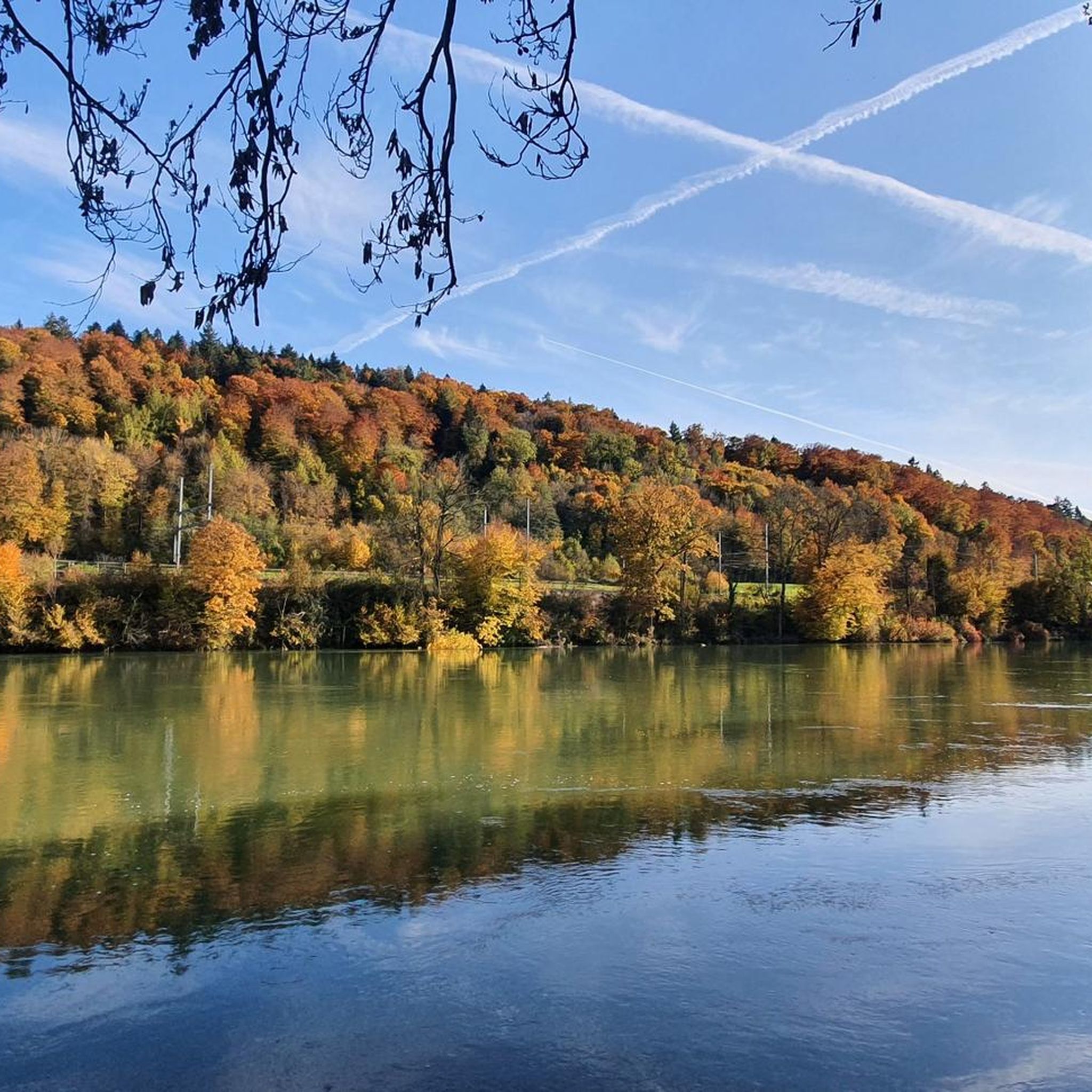
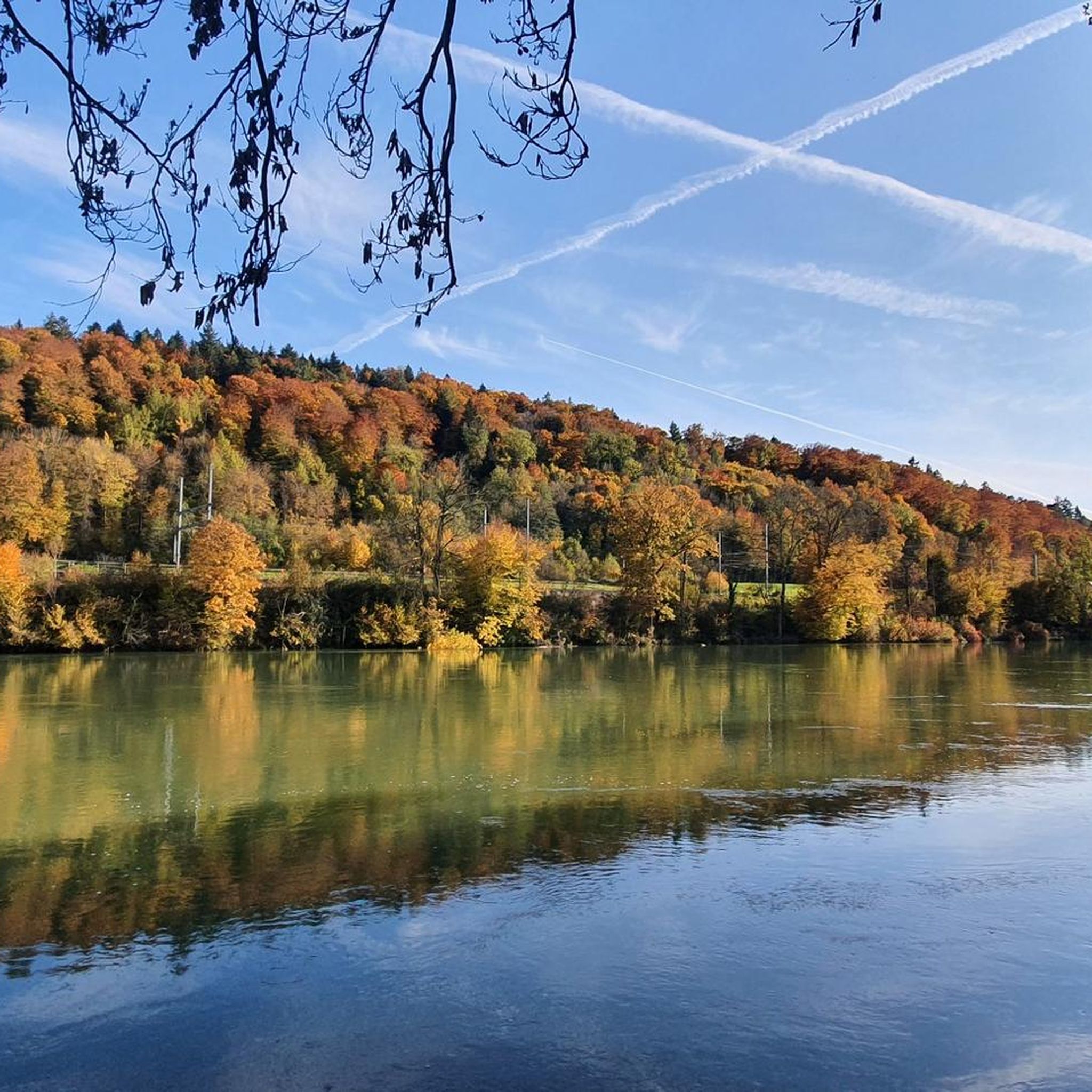
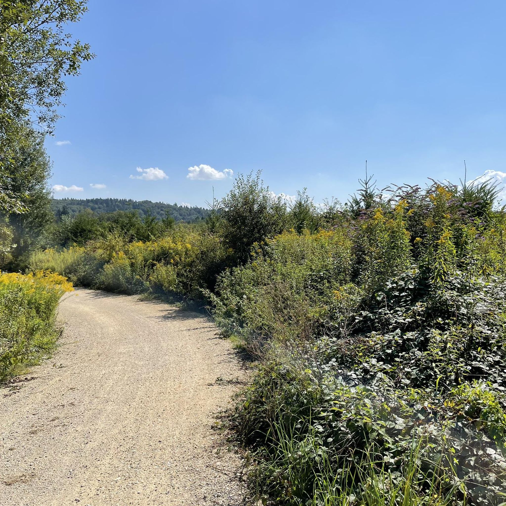
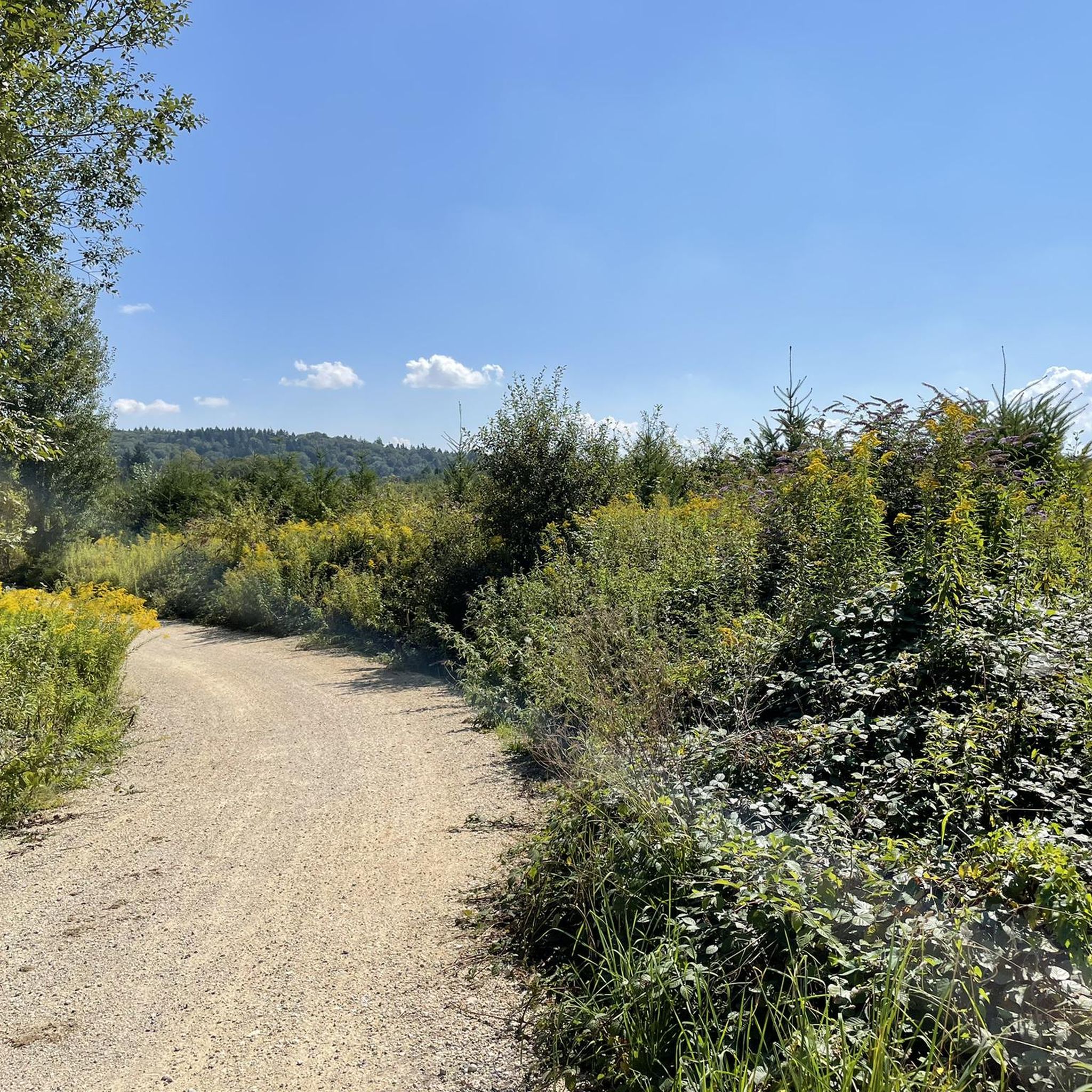


Tips from the Community


Great mountain stage to the Chilzimmersattel past the Schönthal monastery in picturesque landscape
0
0

It is beautiful here
2
0

This smooth asphalted road is a good cycleway with minimal traffic.
0
0
A nice, mostly smooth asphalted cycleway connecting Köllikon and Safenwil with no traffic.
0
0
This fountain located on the cycleway leading through the village has freshwater located in the shade and there are several other small shops to load up on snacks and food.
0
0

Very nice, challenging road with great views and little traffic.
0
0
A challenging pass in the Tafeljura, the climb is made up of a small road with a maximum gradient of 15% and little traffic. The scenery is very scenic, with magnificent panoramas along the way.
1
1
Frequently Asked Questions
How many road cycling routes are available around Boningen?
There are over 300 road cycling routes around Boningen, offering a wide variety of options for different skill levels and preferences. This includes approximately 65 easy routes, 186 moderate routes, and 58 difficult routes.
Are there road cycling routes suitable for beginners or less experienced cyclists in Boningen?
Yes, Boningen offers around 65 easy road cycling routes. These routes typically feature mostly paved surfaces and more moderate elevation gains, making them suitable for leisurely rides. An example is the View of Aarburg Fortress – Ruppoldingen Power Plant loop from Rothrist, which is a moderate 22.3 miles (35.9 km) path with relatively low elevation gain.
What kind of challenges can experienced road cyclists expect in Boningen?
Experienced road cyclists will find plenty of challenges, with about 58 difficult routes available. The region, particularly the Tafeljura, features ascents with gradients up to 15% and significant elevation gains. For instance, the Tüfelsschlucht Road – Chilchzimmersattel loop from Rothrist is a difficult 31.4 miles (50.6 km) route with over 1150 meters of elevation gain.
Are there any scenic viewpoints along the road cycling routes in Boningen?
Yes, many routes offer magnificent panoramic views. The region is characterized by rolling hills, forests, and river valleys. While some viewpoints like the Belchenflue Summit Viewpoint are primarily hiking destinations, their presence signifies the scenic nature visible from various cycling paths. You can also find specific viewpoints like the View of Aarburg Castle and Church.
Can I find loop road cycling routes in Boningen?
Most of the road cycling routes around Boningen are designed as loops, allowing you to start and end at the same point. This includes popular options like the St. Urban Abbey – View of Sankt Urban Abbey loop from Rothrist, which is a 24.1 miles (38.8 km) trail.
What historical landmarks or attractions can I see while road cycling near Boningen?
The region boasts several historical landmarks. The majestic Aarburg Fortress and Old Town is a prominent feature, often visible from routes like the View of Aarburg Fortress – Ruppoldingen Power Plant loop from Rothrist. You might also pass by the charming Old Wooden Bridge in Olten or the historic Old Roman Road Balsthal.
Are there routes that pass by natural features like gorges or rivers?
Yes, the landscape around Boningen is rich in natural features. Many routes follow river sections, such as the Aare and Wigger rivers. While primarily a hiking spot, the fascinating Tüfels Gorge with its waterfalls and lush greenery is in close proximity and can be a scenic stop or a feature of nearby routes like the Tüfelsschlucht Road – Chilchzimmersattel loop from Rothrist.
What do other road cyclists say about the routes in Boningen?
The road cycling routes in Boningen are highly rated by the komoot community, with an average score of 4.6 stars from over 400 reviews. More than 10,000 road cyclists have used komoot to explore the varied terrain, often praising the diverse landscapes, challenging ascents, and scenic river valleys.
Are there options for longer distance road cycling routes in Boningen?
Yes, Boningen offers several longer distance routes for those seeking extended rides. For example, the Ruppoldingen Power Plant – Summit of Wiliberg loop from Rothrist covers approximately 53.1 km (33 miles) and takes around 2 hours 30 minutes to complete, offering a substantial ride through the region.
Are there any road cycling routes that include a visit to St. Urban Abbey?
Yes, there is a specific route that leads past this historical landmark. The St. Urban Abbey – View of Sankt Urban Abbey loop from Rothrist is a 24.1 miles (38.8 km) trail that takes you through rolling hills and past the abbey, blending historical sightseeing with your ride.
What is the best time of year for road cycling in Boningen?
The spring, summer, and early autumn months are generally the best for road cycling in Boningen. During these seasons, the weather is typically mild, and the landscapes are vibrant, offering ideal conditions for exploring the region's diverse terrain and scenic beauty.
Most popular routes around Boningen
Most popular attractions around Boningen

Get inspired with the komoot mobile app


Explore more
Browse the best Road cycling routes in other regions.
