The best MTB trails around Bongard
4.5
(1380)
4,229
riders
372
rides
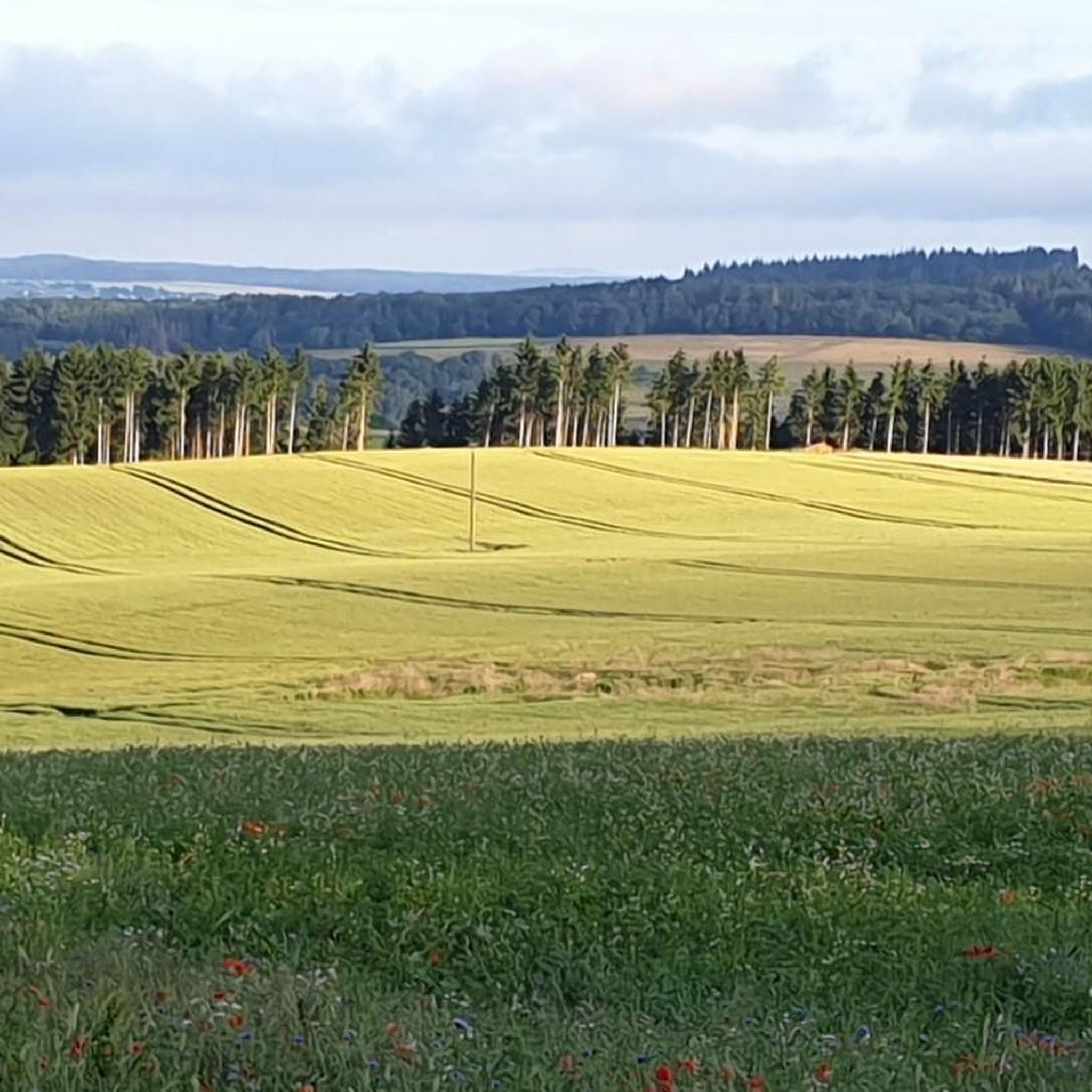
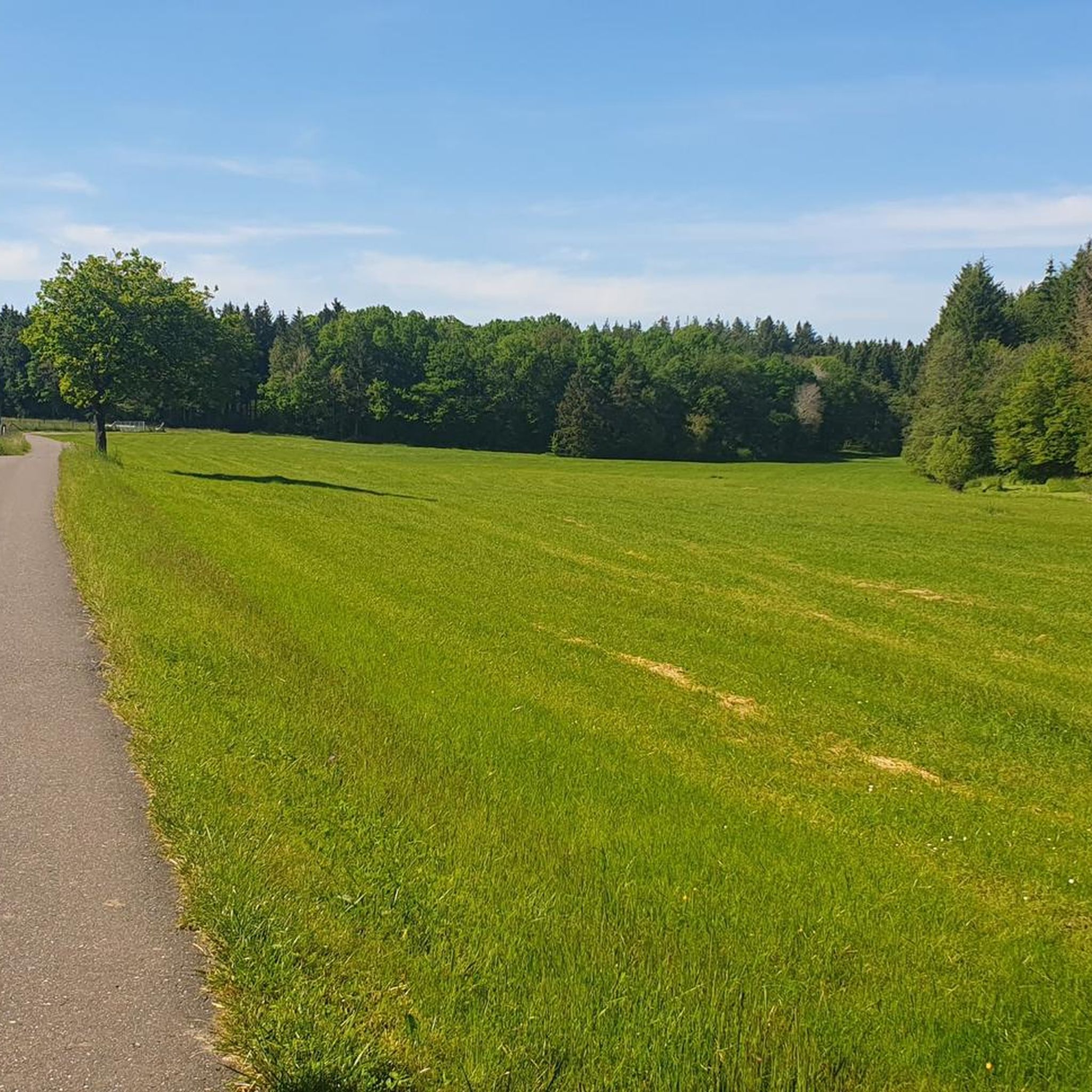
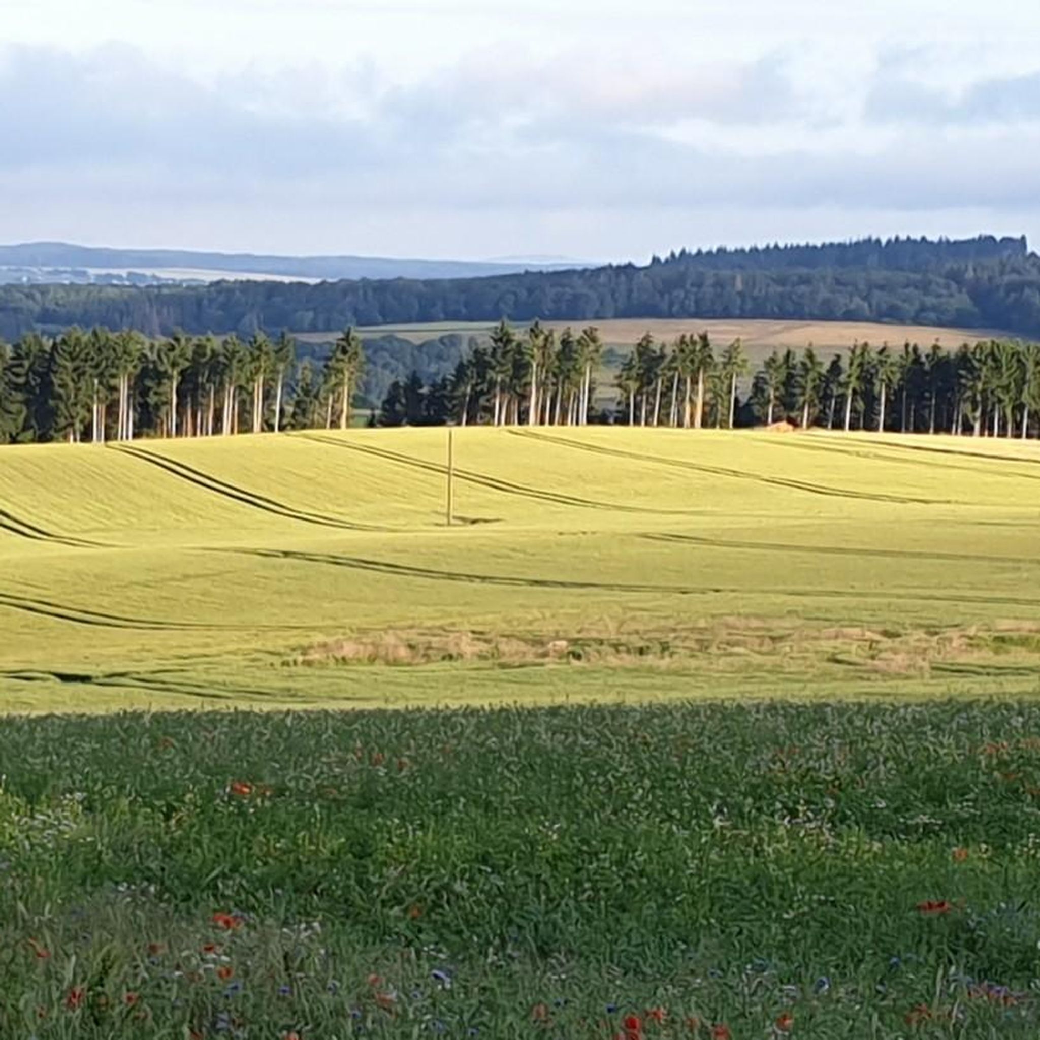
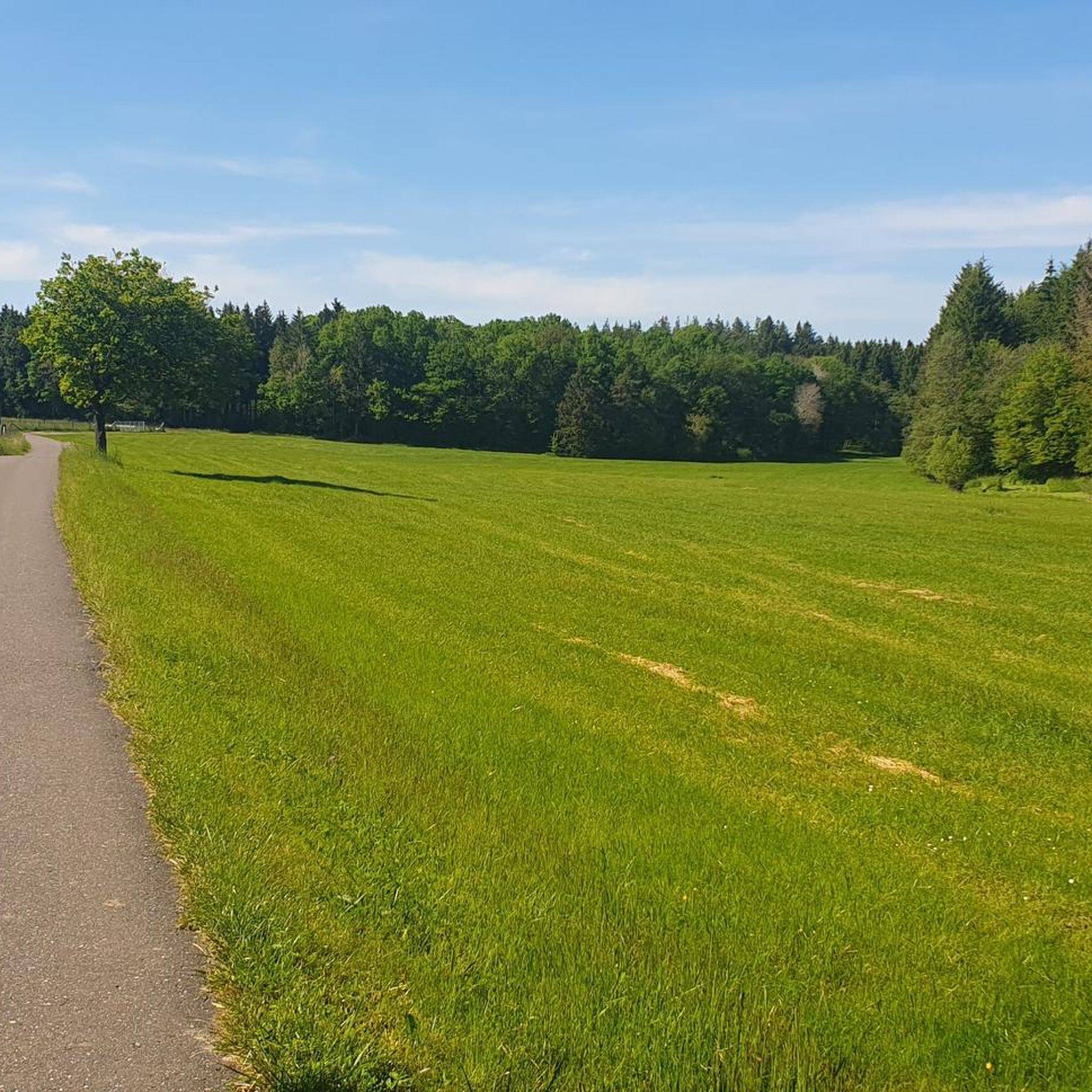
Mountain biking around Bongard offers a diverse trail system through varied terrain. The region features a rich mixture of grasslands, woodlands, and wetlands, providing a dynamic riding experience. Trails often traverse natural topography, including sections that were historically part of an air force base, adding a unique element to the landscape. The area provides multi-use trails suitable for non-motorized biking.
Best mountain bike trails around Bongard
- The most popular mountain bike trail is Nohner Mill Café – Dreimühlen Waterfall loop…
Last updated: October 3, 2026
4.5
(11)
18
riders
28.2km
02:11
400m
400m
Moderate mountain bike ride. Good fitness required. Advanced riding skills necessary.
3.3
(3)
7
riders
21.5km
01:55
370m
370m
Moderate mountain bike ride. Good fitness required. Advanced riding skills necessary.

5.0
(1)
6
riders
28.3km
02:23
410m
410m
Moderate mountain bike ride. Good fitness required. Suitable for all skill levels.
5.0
(1)
5
riders
33.0km
02:34
440m
440m
Moderate mountain bike ride. Good fitness required. Advanced riding skills necessary.
5.0
(2)
4
riders
21.3km
01:43
290m
290m
Moderate mountain bike ride. Great for any fitness level. Advanced riding skills necessary.
Get access to more routes and recommendations from other explorers.
Already have an account?
Our route recommendations are based on thousands of hikes, rides, and runs completed by other people on komoot.
Start today with a free account
Your next adventure awaits.

Tips from the Community

Perfect place to take a break and relax
3
0
The Schwarzenberg Chapel is hidden in the forest on the 562-meter-high Schwarzenberg and is dedicated to the Sorrowful Mother of God. It was built in 1719. Inside, an altar with a Pietà in the central part adorns the chapel, flanked by Saints Aloysius (right) and Augustine. On the walls, votive tablets and discarded crutches bear witness that many people sought and found comfort and help in illness from the Schwarzenberg Mother of God. Not far from the chapel is the Heroes' Cemetery, where the soldiers who died in Kelberg during World War II rest. A little further down, a memorial commemorates the fallen of the First and Second World Wars.
0
0

Small shelter with seating, unfortunately the forecourt is very churned up and muddy
0
0

There are a few reclining benches and also benches along our hiking route.
0
0

For information about the sour spring, see https://www.geopark-vulkaneifel.de/eifel/landschaft/mineralwasserquellen/schulldrees.html
0
0
Opposite the Sauerbrunnen (sour spring) used to stand the elementary school. All that remains of it is the name of the spring in the local dialect: Schulldrehs.
0
0

Frequently Asked Questions
How many mountain bike trails are available around Bongard?
There are over 400 mountain bike trails around Bongard, offering a wide range of options for all skill levels. This includes 83 easy routes, 325 moderate routes, and 18 challenging trails for experienced riders.
Are there any family-friendly mountain bike trails in Bongard?
Yes, Bongard offers several family-friendly mountain bike trails. Many of the easy routes are suitable for families. For example, the Nohner Mill Café – Dreimühlen Waterfall loop from Nohn is an easy 12-mile route that winds through semi-wooded areas and past natural features, making it a great option for a family outing.
Can I bring my dog on the mountain bike trails in Bongard?
Generally, dogs are allowed on mountain bike trails in natural areas, provided they are kept on a leash. It's always a good idea to check local regulations for specific trails, but the varied terrain of grasslands, woodlands, and wetlands offers pleasant rides for you and your leashed companion.
Are there mountain bike routes that feature waterfalls or other natural monuments?
Yes, the region around Bongard is known for its natural beauty. You can find routes that pass by impressive natural monuments. For instance, the Nohner Mill Café – Dreimühlen Waterfall loop from Nohn takes you past the beautiful Dreimühlen Waterfall. Other natural highlights include the Rock face at Nohner Mühle and the Arensberg Volcanic Crater and Stone Labyrinth.
What kind of terrain can I expect on mountain bike trails in Bongard?
Mountain bike trails in Bongard offer a diverse and dynamic riding experience, traversing a rich mixture of grasslands, woodlands, and wetlands. You'll encounter varied terrain, from relatively flat sections winding through semi-wooded areas to moderately rolling paths and sections that showcase the region's natural topography.
Are there any circular mountain bike routes around Bongard?
Yes, many of the mountain bike routes around Bongard are designed as loops, allowing you to start and finish at the same point. Examples include the moderate Afelskreuz – Panorama Bench Sarmerzbach loop from Boxberg and the Kelberg Observation Platform – Picnic Area Above Zermüllen loop from Boxberg.
What are some interesting landmarks or historical sites I can explore near the trails?
Beyond the natural beauty, the Bongard area also features historical landmarks. You can explore several castles, such as Kerpen Castle (Eifel) and Nürburg Castle. Some trails even incorporate unique historical elements, like raised ridges that were once part of an old air force base.
Where can I find parking for mountain biking in Bongard?
Parking is generally available at the starting points of many popular mountain bike trails and in nearby villages. For routes starting from Boxberg, you can typically find parking facilities. It's advisable to check the specific tour details on komoot for recommended parking areas near your chosen route.
What is the best time of year for mountain biking in Bongard?
The spring, summer, and early autumn months generally offer the best conditions for mountain biking in Bongard. While some trails can become very wet in the spring, the warmer months provide pleasant riding temperatures and drier paths. Autumn offers beautiful scenery with changing foliage.
Are there any cafes or places to eat along the mountain bike routes?
Yes, some routes pass by or near cafes and picnic areas. For instance, the Nohner Mill Café – Dreimühlen Waterfall loop from Nohn starts near a mill café, offering a convenient stop. Other trails, like the Orange Trail mentioned in regional context, may feature shaded rest stops with picnic tables, and nearby villages often have local cafes and restaurants.
What do other mountain bikers enjoy most about the trails in Bongard?
The mountain bike trails in Bongard are highly rated by the komoot community, with an average score of 4.6 stars from over 1,100 reviews. Riders often praise the diverse terrain, the scenic views over grasslands and woodlands, and the well-maintained multi-use trails that cater to various skill levels.
Most popular attractions around Bongard

Get inspired with the komoot mobile app


Explore more
Browse the best MTB trails in other regions.
