The best running trails around Bourg-Lès-Valence
4.5
(61)
2,958
runners
47
runs
Jogging around Bourg-Lès-Valence offers a variety of running routes, primarily featuring flat to gently rolling terrain. The region is characterized by its proximity to the Rhône River, providing opportunities for riverside paths and green spaces. Many routes incorporate urban parks and agricultural areas, making for accessible and varied running experiences. The landscape is generally low in elevation, with minimal climbs, suitable for all fitness levels.
Best jogging routes around Bourg-Lès-Valence
- The most popular jogging route is Saint-Ruf Abbey Church –…
Last updated: July 1, 2026
5.0
(1)
117
runners
Moderate run. Good fitness required. Mostly paved surfaces. Suitable for all skill levels.
5.0
(2)
120
runners
9.43km
00:59
20m
20m
Moderate run. Good fitness required. Mostly paved surfaces. Suitable for all skill levels.

Sign up for free
53
runners
Moderate run. Good fitness required. Mostly paved surfaces. Suitable for all skill levels.
14
runners
Easy run. Great for any fitness level. Mostly paved surfaces. Suitable for all skill levels.
15
runners
Hard run. Very good fitness required. Mostly paved surfaces. Suitable for all skill levels.
Get access to more routes and recommendations from other explorers.
Sign up for free
Already have an account?
Our route recommendations are based on thousands of hikes, rides, and runs completed by other people on komoot.
Start today with a free account
Your next adventure awaits.
Login or Signup

Tips from the Community

According to the signs, the road to Austria goes to the left. ;-)
0
0
Old and new bridge side by side - what a contrast!
0
0

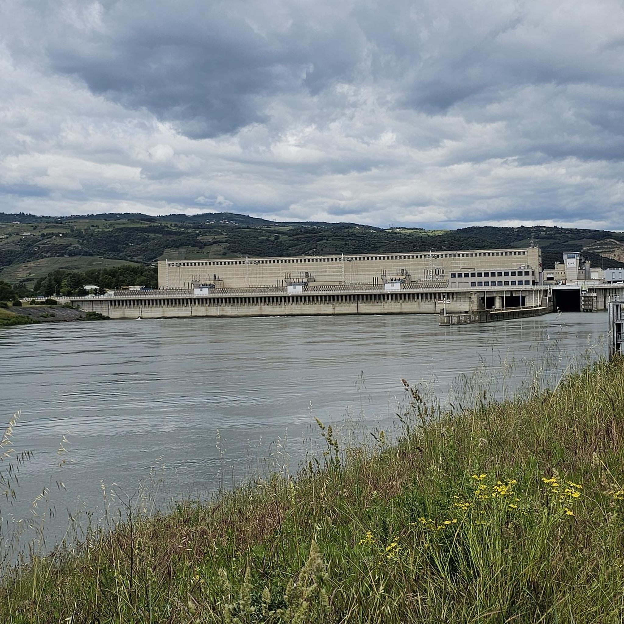
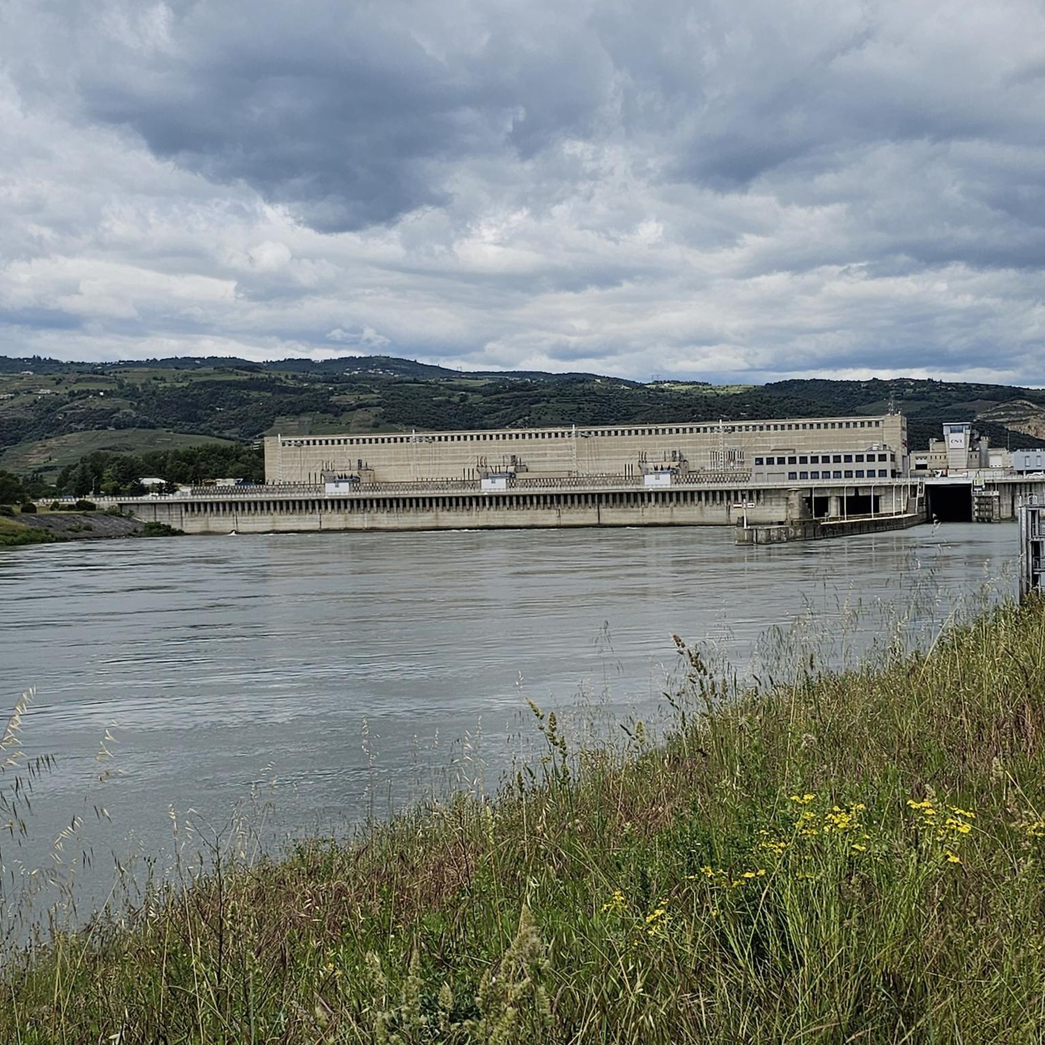
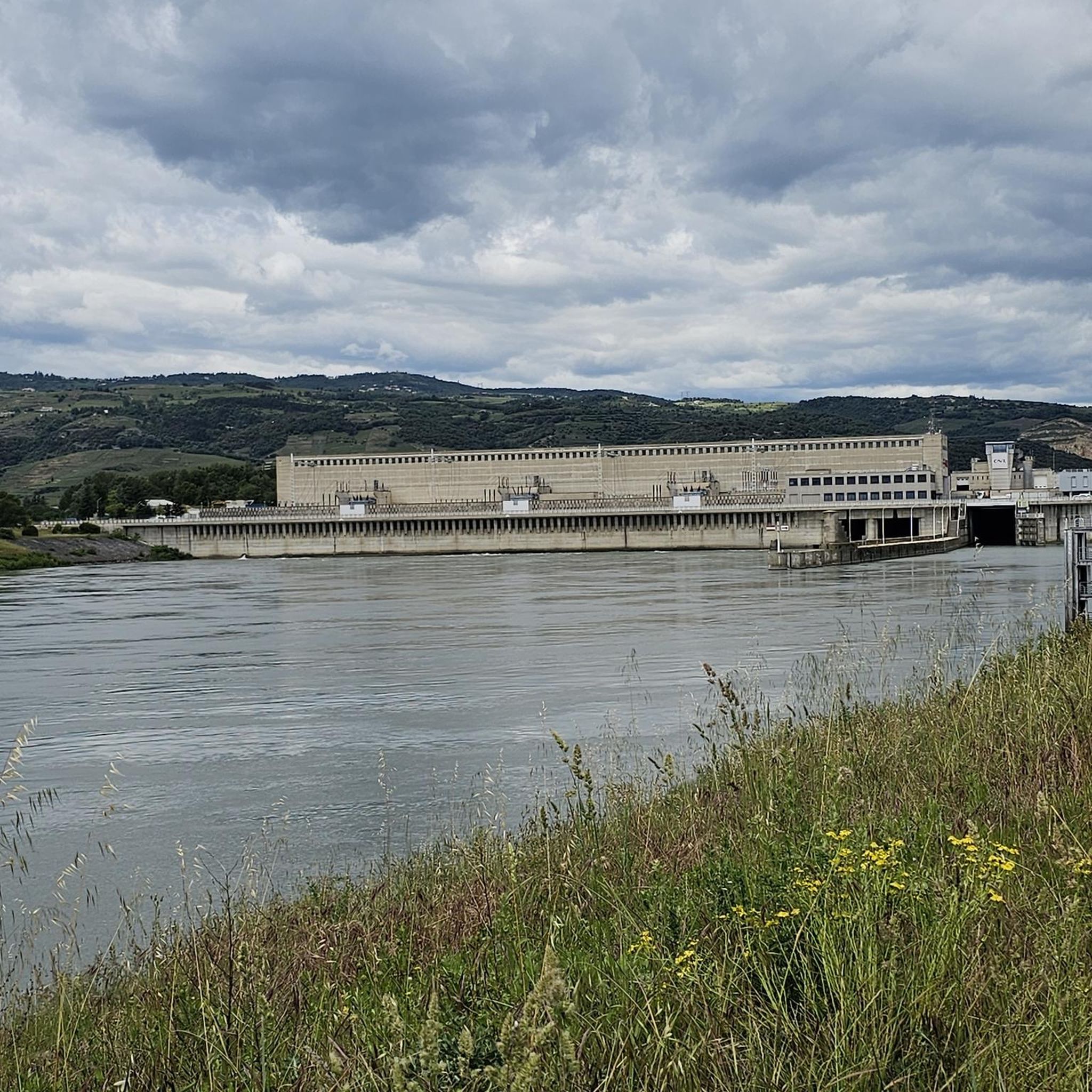
The ViaRhôna in Pont de l'Isère offers a picturesque and dynamic setting for mountain bike enthusiasts. This section of the ViaRhôna, which runs alongside the Rhône, offers a mix of quiet paths and gentle slopes with captivating views of the river and surrounding landscapes.
2
1

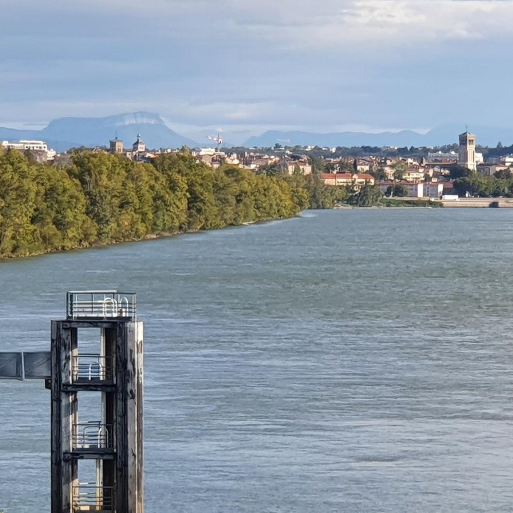
Superb esplanade enriched by the Peynet kiosk. The park, below, is magnificent and encourages strolling. Do not hesitate to leave Via Rhôna and enter old Valencia, the Cathedral, the House of the Heads, the parks and alleys will enchant your trip.
1
0

Top cycle path!
1
0

At Pont de l'Isère, the Vallée de l'Isère greenway cycle route (V63) joins the ViaRhôna.
0
0
This monumental portal, dating from the 18th century, is the last vestige of the abbey dwelling of the mother house of the order of Saint-Ruf. This portal and the buildings located to the south were registered as historical monuments in 1999.
0
0

This vast esplanade located in the heart of Valence is a place well known to locals. It offers a very open space in the middle of this urban habitat. In its center, the Pleynet kiosk - which dates from 1862 - is classified as a Historic Monument. From the esplanade, you can enjoy a superb view of the Jouvet park, labeled "Remarkable Garden" since 2006.
2
0
Frequently Asked Questions
How many running routes are available around Bourg-Lès-Valence?
There are over 45 running routes documented on komoot for the Bourg-Lès-Valence area. These include a variety of options, from easy paths to more challenging trails, catering to different fitness levels.
Are there easy running paths suitable for beginners in Bourg-Lès-Valence?
Yes, Bourg-Lès-Valence offers several easy running paths perfect for beginners or those looking for a relaxed jog. There are 5 routes specifically classified as easy, featuring flat to gently rolling terrain. An example is the Bourg-lès-Valence plant loop from Centrale électrique de Bourg-lès-Valence, which is just under 6 km.
What kind of terrain can I expect on jogging routes in Bourg-Lès-Valence?
The jogging routes around Bourg-Lès-Valence primarily feature flat to gently rolling terrain. You'll find paths along the Rhône River, through urban parks, and across agricultural areas. The landscape generally has low elevation, making it suitable for a wide range of runners.
Are there any running routes that offer good viewpoints or scenic spots?
Many routes in the area provide pleasant scenery, especially those along the Rhône River. For specific viewpoints, consider routes that pass near the Esplanade du Champ de Mars, which offers views. While not directly on a running route, the nearby Crussol Castle also provides panoramic vistas of the region.
What do other runners say about the trails in Bourg-Lès-Valence?
The running routes in Bourg-Lès-Valence are highly rated by the komoot community, with an average score of 4.5 stars from over 40 reviews. Runners often praise the accessible riverside paths, urban green spaces, and the variety of routes available for different skill levels.
Can I find circular running routes in the Bourg-Lès-Valence area?
Yes, many of the running routes around Bourg-Lès-Valence are circular, allowing you to start and finish at the same point. A popular option is the Saint-Ruf Abbey Church – Esplanade du Champ de Mars loop from Valence, which offers a mix of urban and riverside scenery.
Are there any longer running routes for experienced runners?
For experienced runners looking for a longer challenge, Bourg-Lès-Valence offers several options. The Bourg-lès-Valence plant – The ViaRhôna at Pont-de-l'Isère loop from Valence is a difficult 15.1 km (9.4 miles) trail that leads through riverside paths and local plant areas.
What is the best time of year to go jogging in Bourg-Lès-Valence?
The region's mild climate generally makes it suitable for jogging year-round. Spring and autumn offer pleasant temperatures and vibrant scenery. Summer can be warm, so early morning or late evening runs are often preferred. Winter runs are also possible, with the low elevation meaning less chance of snow disruption compared to mountainous areas.
Are there any running routes that are particularly suitable for families?
Routes with flat, well-maintained paths through urban parks or along the river are generally best for families. The easy-rated routes, such as the Bourg-lès-Valence plant loop from Centrale électrique de Bourg-lès-Valence, are good choices as they are shorter and have minimal elevation gain.
Are dogs allowed on the running trails in Bourg-Lès-Valence?
Many public paths and green spaces in Bourg-Lès-Valence are dog-friendly, especially if your dog is kept on a leash. It's always advisable to check local signage for specific restrictions in parks or protected areas. Routes along the Rhône River or through agricultural areas are generally suitable for running with dogs.
What are some interesting landmarks or attractions near the running routes?
While jogging, you might pass by or be near several points of interest. The Esplanade du Champ de Mars is often incorporated into routes. Other nearby attractions include the historic Crussol Castle and the impressive Saint-Apollinaire Cathedral in Valence, which are worth exploring before or after your run.
Most popular routes around Bourg-Lès-Valence
Most popular attractions around Bourg-Lès-Valence

Get inspired with the komoot mobile app


Explore more
Browse the best Running Trails & Routes in other regions.
