The best cycling routes around Treschenu-Creyers
4.4
(553)
5,669
riders
115
rides
Touring cycling routes around Treschenu-Creyers traverse the dramatic and varied topography of the Vercors Regional Natural Park. This region features majestic limestone cliffs, deep gorges, and expansive high plateaus, offering diverse terrain for cyclists. Routes often include challenging climbs towards prominent mountain passes and descents through picturesque natural scenery, encompassing meadows, forests, and mountainous paths. The area is characterized by significant passes such as Col de Menée, Col de Grimone, Col de Boulc, and Col de Varaime.
Best touring cycling…
Last updated: November 1, 2026
4.2
(10)
114
riders
52.2km
03:46
1,110m
1,110m
Hard bike ride. Very good fitness required. Mostly paved surfaces.
4.7
(3)
125
riders
87.1km
05:52
1,440m
1,430m
Hard bike ride. Very good fitness required. Mostly paved surfaces.

4.3
(12)
57
riders
Moderate bike ride. Good fitness required. Mostly paved surfaces.
4.0
(4)
73
riders
44.3km
03:15
1,050m
1,050m
Hard bike ride. Very good fitness required. Mostly paved surfaces.
5.0
(4)
62
riders
Hard bike ride. Very good fitness required. Mostly paved surfaces.
Get access to more routes and recommendations from other explorers.
Already have an account?
Our route recommendations are based on thousands of hikes, rides, and runs completed by other people on komoot.
Start today with a free account
Your next adventure awaits.
Popular around Treschenu-Creyers
Celebrate the arrival of spring – hike from Savoie to Provence in France
Grand Tour of the Vercors – first section
Écrins, Belledonne and Vercors – HexaTrek, Hautes-Alpes
Hiking around Treschenu-Creyers
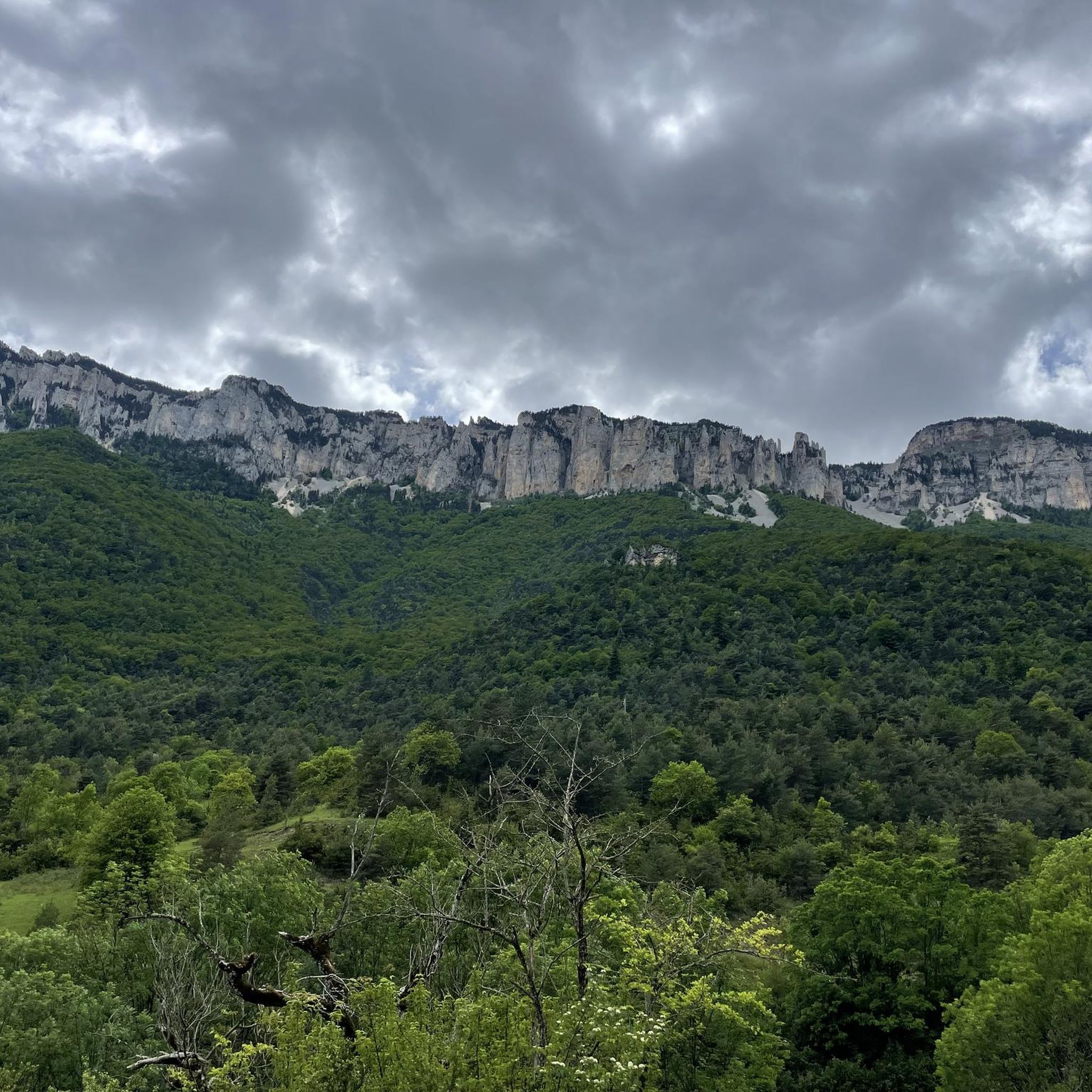
Road Cycling Routes around Treschenu-Creyers
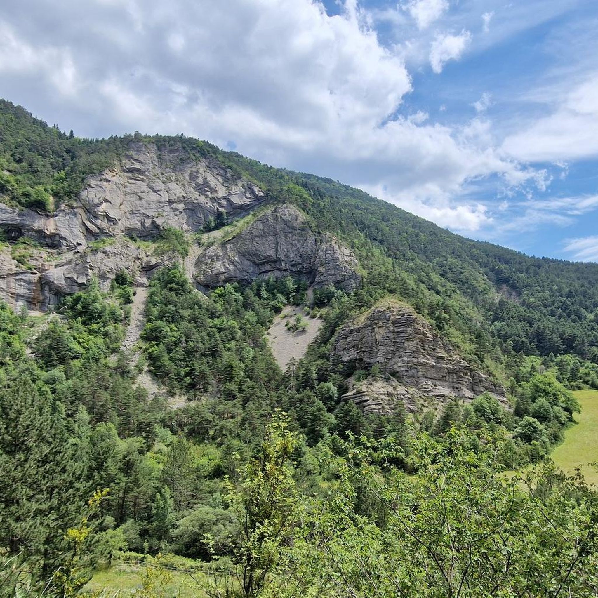
MTB Trails around Treschenu-Creyers
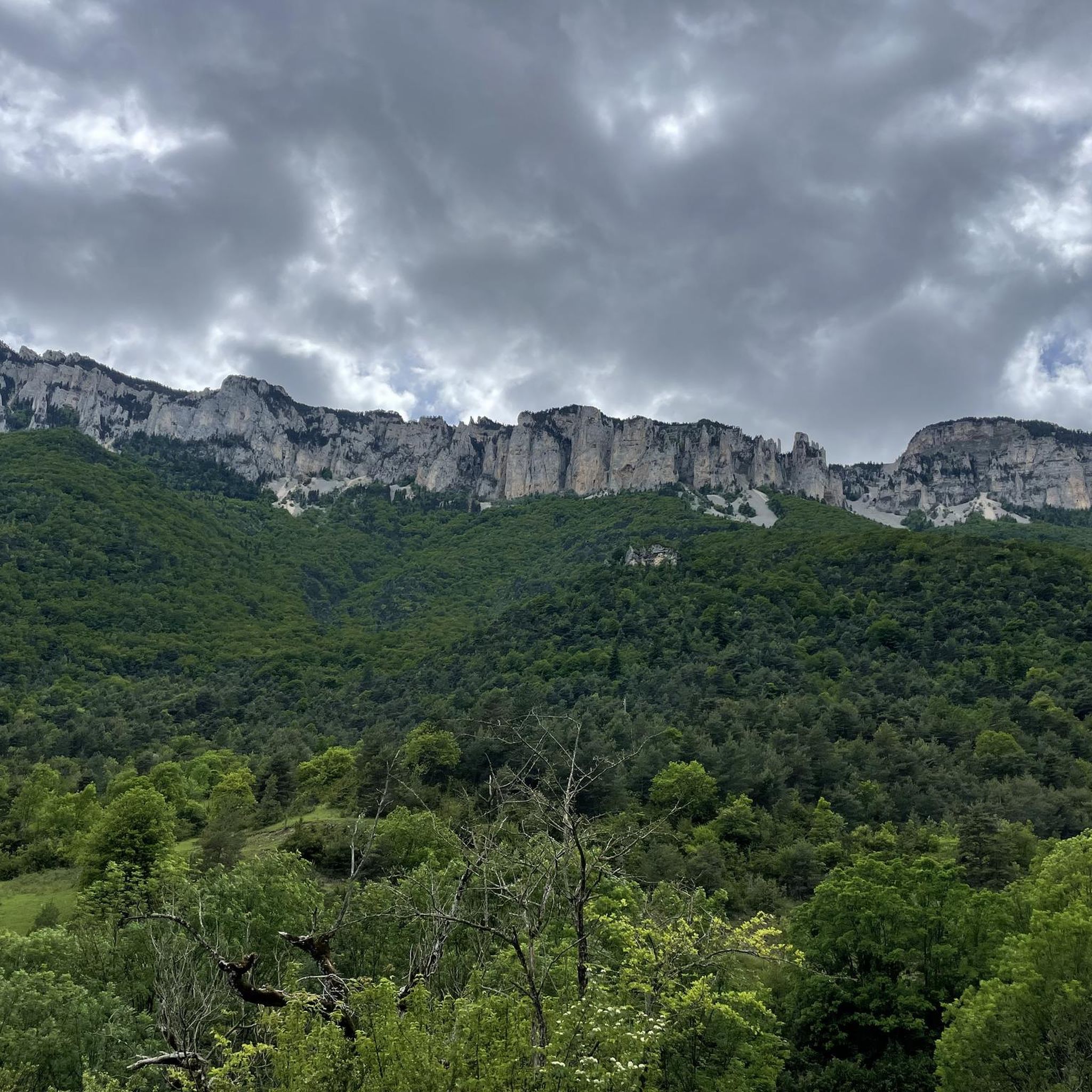
Running Trails around Treschenu-Creyers
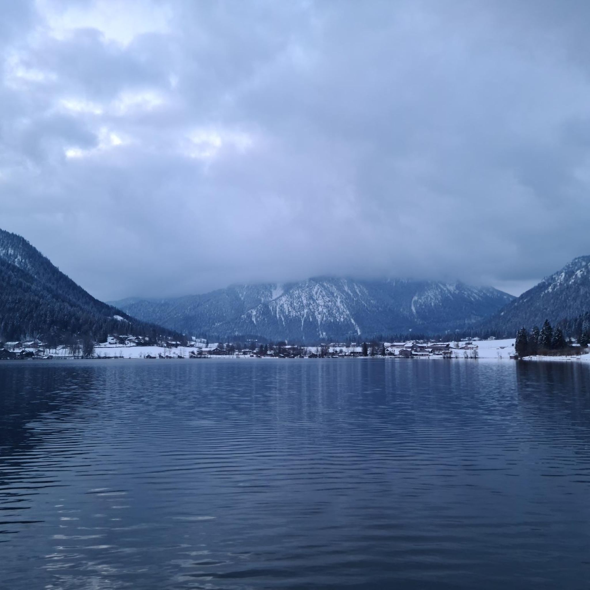
Gravel biking around Treschenu-Creyers
Mountain Hikes around Treschenu-Creyers
Other adventures around Treschenu-Creyers


Tips from the Community

The Col de Menée (1,457 m) is one of the most fascinating and scenic alpine passes in the Auvergne-Rhône-Alpes region, famous for being a natural and geographical border between the Vercors massif (Trièves) and Diois.
9
0
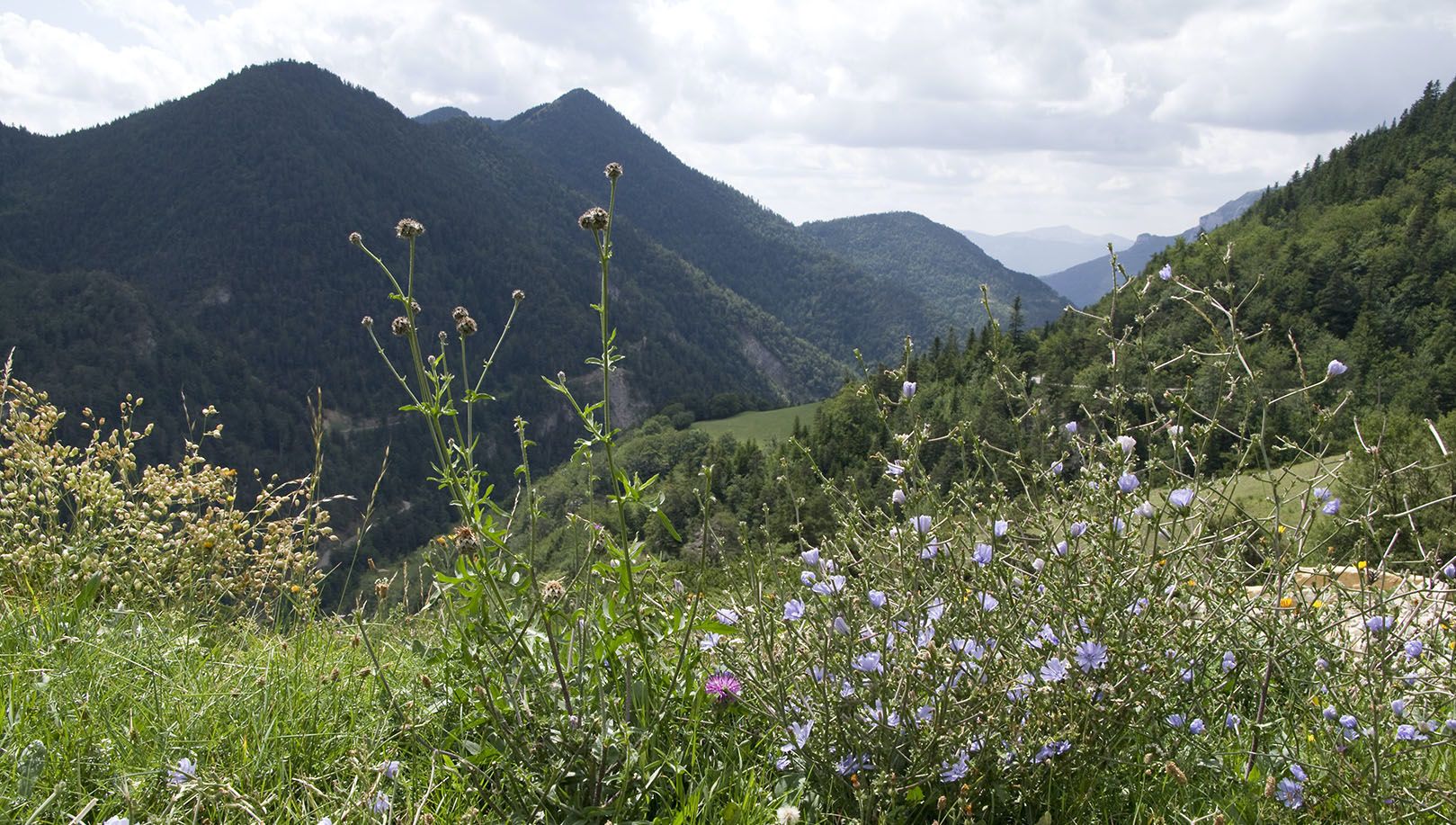
During the flowering period, these fields offer vibrant colors.
8
0
Col de Menée (1,402 m) is one of the most fascinating and scenic passes straddling the Drôme and Isère, right on the border of the Regional Natural Park of Vercors.
8
0
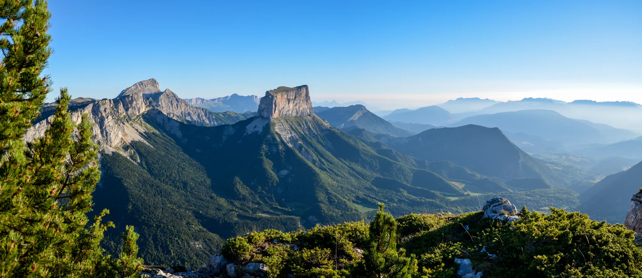
The Rocher de Combau is one of the most iconic and spectacular rock formations in the southern part of the Vercors Regional Natural Park, located in the Drôme department, France. This imposing limestone cliff overlooks the Vallon de Combau of the same name, offering a typical landscape of the Vercors high plateaus (Hauts Plateaux), characterized by immense high-altitude pastures that clash with dizzying vertical walls.
9
0
The Drôme river is the true beating heart of the French department of the same name. Characterized by clear, turquoise waters flowing between the Vercors cliffs and lavender fields, it is one of the rare rivers in Europe without artificial dams, maintaining a wild and natural character.
10
0
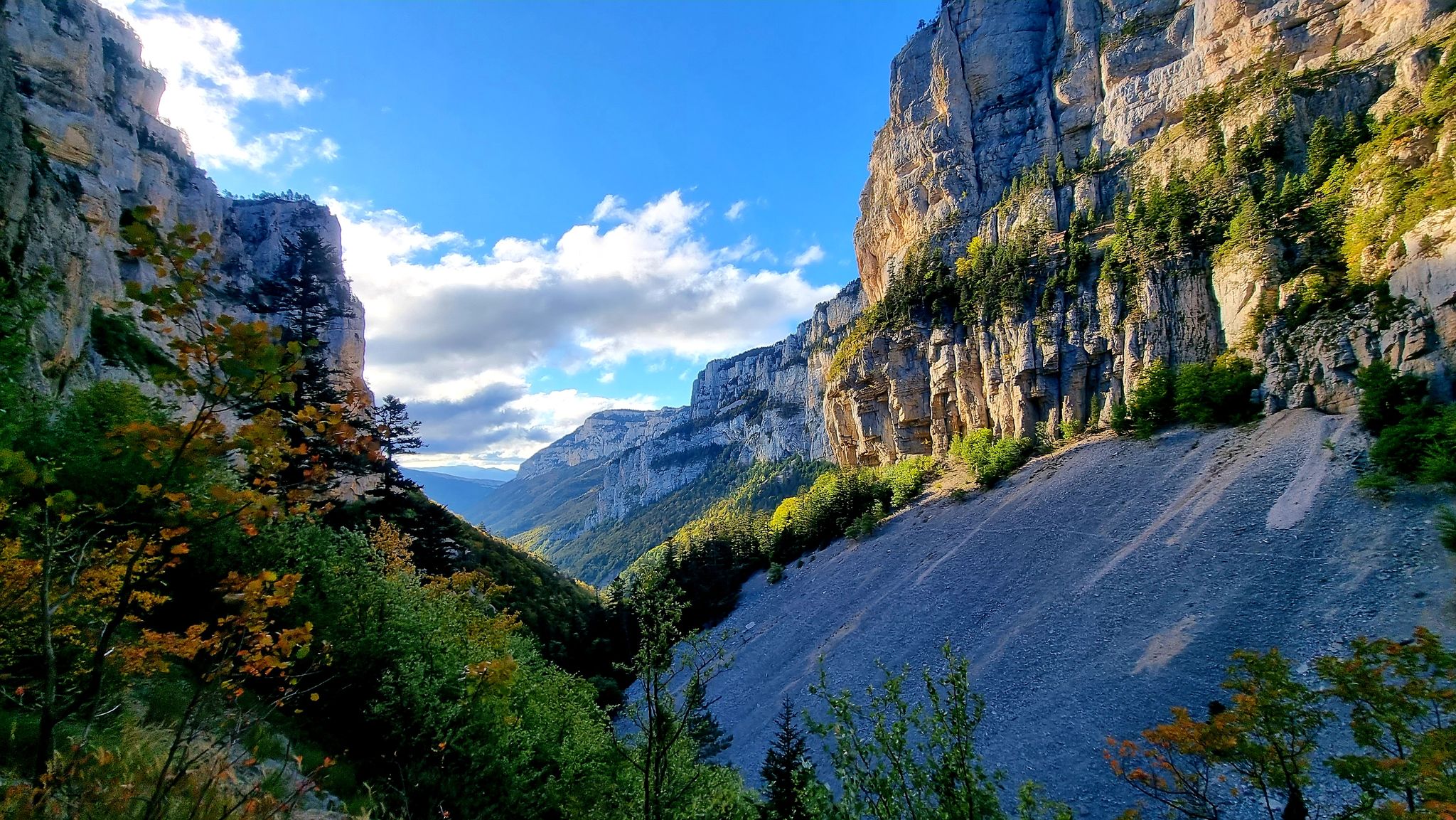
If you are looking for a road that combines the adrenaline of driving with a primordial landscape, the Gorges des Gâts are a must-see stop in the south of the Vercors. This incredible canyon, about 10 kilometers long, carved into the limestone rock by the Gats stream, connects the valley of Châtillon-en-Diois to the Col de Grimone. The route winds along a narrow and winding road that hugs vertical rock faces, crossing stone bridges and short tunnels dug directly into the rock. The view is impressive: the grandeur of the cliffs contrasts with the green of the vegetation and the blue of the stream flowing at the bottom of the gorge.
8
0
If you are looking for a road that combines the adrenaline of driving with a primordial landscape, the Gorges des Gâts are a must-see stop in the south of Vercors. This incredible canyon, about 10 kilometers long, carved into the limestone by the Gats stream, connects the valley of Châtillon-en-Diois to the Col de Grimone.The route winds along a narrow and winding road that hugs vertical rock faces, crossing stone bridges and short tunnels dug directly into the rock. The view is impressive: the grandeur of the cliffs contrasts with the green of the vegetation and the blue of the stream flowing at the bottom of the gorge.
8
0
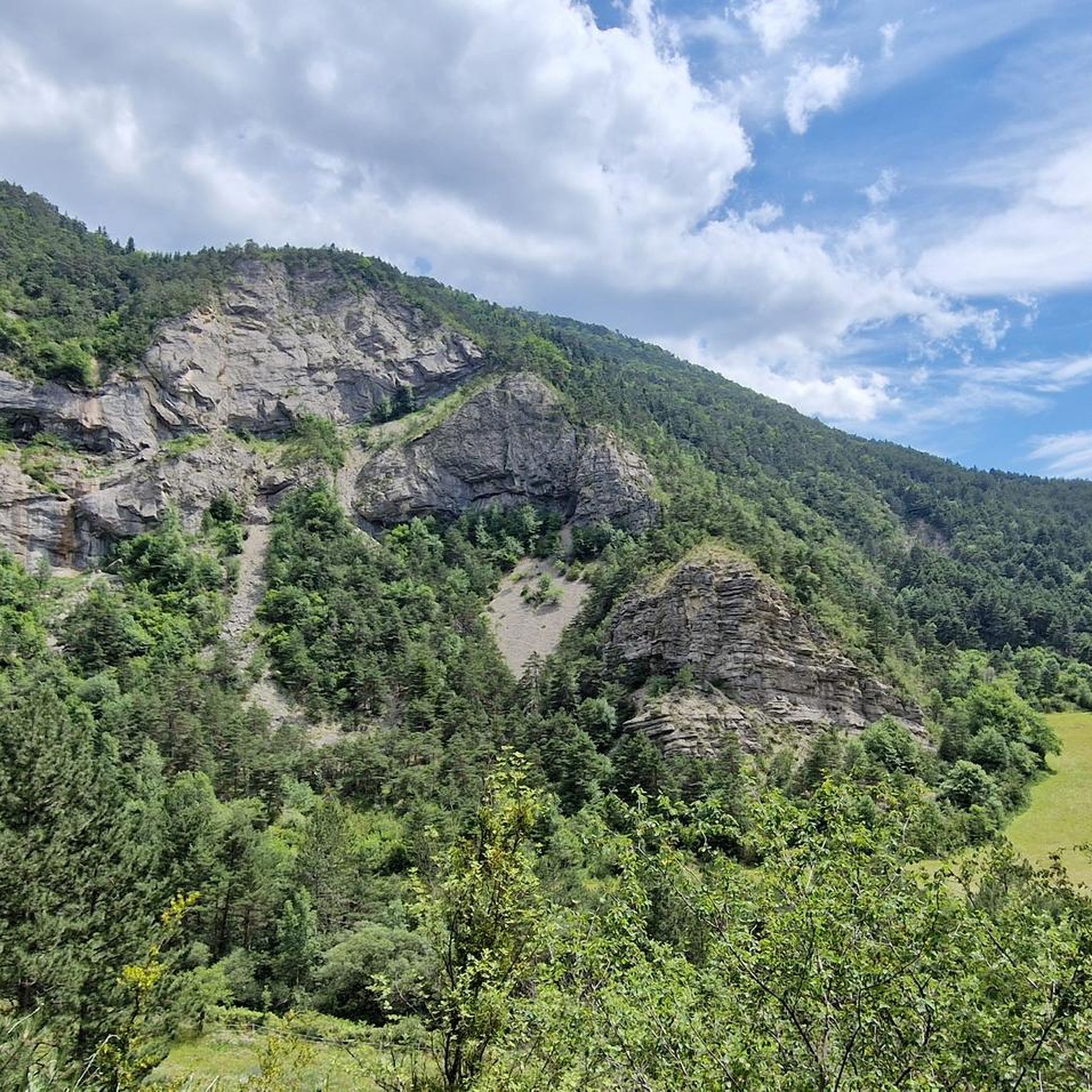
As you climb, the view opens up to the majestic Vercors massif and the surrounding rock faces.
9
0
Frequently Asked Questions
How many touring cycling routes are available around Treschenu-Creyers?
Treschenu-Creyers offers a wide selection of touring cycling routes, with over 110 options to explore. These routes traverse the diverse landscapes of the Vercors Regional Natural Park, providing varied experiences for cyclists.
Are there easy touring cycling routes suitable for beginners or families?
Yes, Treschenu-Creyers has options for less experienced cyclists. There are 14 easy touring cycling routes, often featuring gentler terrain through meadows and forests. While specific family-friendly routes aren't detailed, these easier paths are generally more suitable for a relaxed pace. For a moderate option with cultural interest, consider the Châtillon-en-Diois – Old Town of Die loop from Châtillon-en-Diois, which is 48.0 km long.
What kind of terrain can I expect on touring cycling routes in Treschenu-Creyers?
The terrain around Treschenu-Creyers is incredibly varied, ranging from challenging mountain passes like Col de Menée, Col de Grimone, Col de Boulc, and Col de Varaime, to serene valleys, meadows, and dense forests. You'll encounter majestic cliffs, deep gorges, and high plateaus within the Vercors Regional Natural Park, offering both strenuous climbs and exhilarating descents.
Are there any circular touring cycling routes in the area?
Yes, many of the touring cycling routes around Treschenu-Creyers are designed as loops, allowing you to start and end in the same location. Examples include the challenging Col de Premol – Luc-en-Diois loop from Châtillon-en-Diois, the scenic Châtillon-en-Diois – Saut de la Drôme and the Claps loop from Glandage, and the moderate Châtillon-en-Diois – Old Town of Die loop from Châtillon-en-Diois.
What are the best times of year for touring cycling in Treschenu-Creyers?
The region is generally best for touring cycling from spring through autumn. During these seasons, the weather is more favorable, and the natural landscapes are at their most vibrant. While winter cycling might be possible in some lower areas, many higher passes and routes within the Vercors Regional Natural Park could be affected by snow and colder conditions.
What are some scenic viewpoints or natural attractions along the touring cycling routes?
The routes offer numerous scenic viewpoints and natural attractions. You can expect breathtaking vistas of the Drôme peaks and the Diois Massif, especially from ascents towards prominent peaks like Mont Barral. The magnificent Gorges des Gâts and the View of the Vercors cliffs are also notable. Keep an eye out for unique geological formations like the 'Sucettes de Bornes' and the stunning Cirque d'Archiane, where you might even spot griffon vultures.
Are there any historical or cultural landmarks to explore on a touring cycling trip?
Yes, the region offers cultural points of interest. The Châtillon-en-Diois – Old Town of Die loop from Châtillon-en-Diois takes you through the historic Old Town of Die. Additionally, the Valcroissant Abbey is another historical site that can be incorporated into your cycling itinerary.
How long do touring cycling routes typically take in Treschenu-Creyers?
The duration of routes varies significantly based on distance, elevation gain, and your cycling pace. For example, the challenging Col de Premol – Luc-en-Diois loop from Châtillon-en-Diois (87.3 km with 1423 m elevation gain) typically takes around 5 hours 52 minutes, while the moderate Châtillon-en-Diois – Old Town of Die loop from Châtillon-en-Diois (48.0 km with 438 m elevation gain) can be completed in about 2 hours 54 minutes.
What do other touring cyclists say about the routes in Treschenu-Creyers?
The touring cycling routes in Treschenu-Creyers are highly regarded by the komoot community, holding an average rating of 4.5 stars from over 400 reviews. Cyclists often praise the varied terrain, the stunning natural beauty of the Vercors Regional Natural Park, and the rewarding challenges offered by the mountain passes.
Are there advanced or difficult touring cycling routes for experienced riders?
Absolutely. Treschenu-Creyers is well-suited for experienced touring cyclists, with 63 difficult routes featuring significant elevation changes and challenging mountain passes. Routes like the Châtillon-en-Diois – Col de Menée loop from Châtillon-en-Diois (43.4 km with 958 m elevation gain) or the Gats Gorge – Gorges of the Gats loop from Châtillon-en-Diois (49.3 km with 1041 m elevation gain) offer substantial challenges and rewarding views.
Is public transport available to access touring cycling routes in Treschenu-Creyers?
While the region is known for its outdoor activities, specific public transport links directly to trailheads for touring cycling are not extensively detailed. It's advisable to plan your journey with a focus on starting points accessible by car, or to research local bus services that might connect to larger towns near the Vercors Regional Natural Park.
Where can I find parking for touring cycling routes?
Parking availability will vary depending on your chosen starting point. Many routes begin in or near villages like Châtillon-en-Diois or Glandage, where public parking is generally available. It's recommended to check specific route details on komoot for information on designated parking areas near the trailhead.
Most popular routes around Treschenu-Creyers
Most popular attractions around Treschenu-Creyers

Get inspired with the komoot mobile app


Explore more
Browse the best Cycling routes in other regions.
