The best running trails around Saint-Étienne-De-Tulmont
4.8
(13)
1,996
runners
24
runs
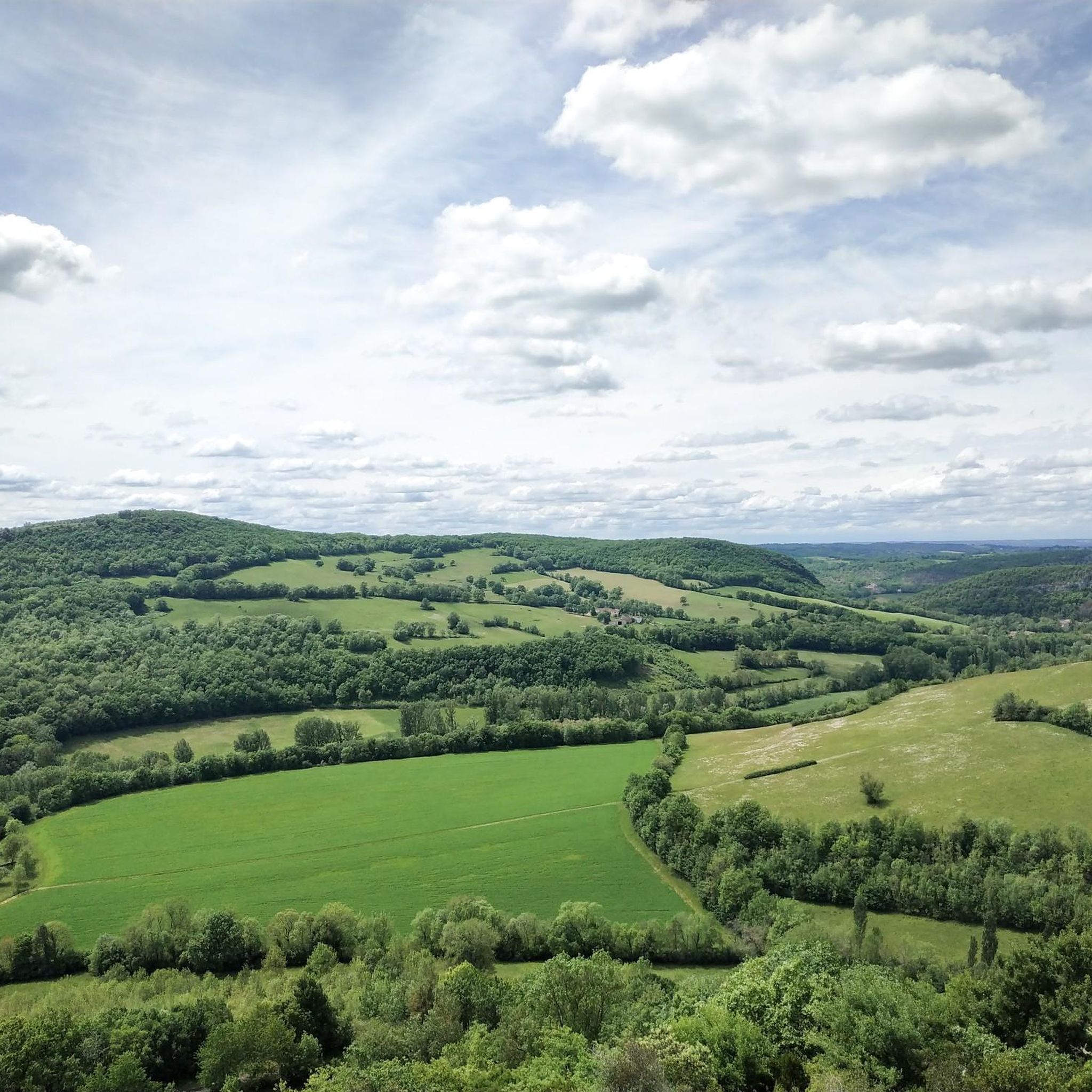
Jogging routes around Saint-Étienne-De-Tulmont offer access to the varied landscapes of the Tarn-et-Garonne department in the Occitanie region of southern France. The terrain features an altitude range of 80m to 190m, providing a mix of relatively flat and gently undulating paths suitable for running. The area includes numerous trails, some of which may connect to sections of the Véloroute of the Valley and Gorges of the Aveyron, offering scenic views of the Aveyron valley.
Best jogging routes around Saint-Étienne-De-Tulmont
- The…
Last updated: June 29, 2026
9
runners
10.2km
01:03
20m
20m
Moderate run. Good fitness required. Mostly paved surfaces. Suitable for all skill levels.
8
runners
6.47km
00:41
30m
30m
Moderate run. Good fitness required. Mostly paved surfaces. Suitable for all skill levels.

Sign up for free
7
runners
11.2km
01:16
110m
110m
Moderate run. Good fitness required. Mostly paved surfaces. Suitable for all skill levels.
4
runners
16.4km
01:41
30m
30m
Hard run. Very good fitness required. Mostly paved surfaces. Suitable for all skill levels.
3
runners
6.19km
00:39
60m
60m
Moderate run. Good fitness required. Mostly paved surfaces. Suitable for all skill levels.
Get access to more routes and recommendations from other explorers.
Sign up for free
Already have an account?
Our route recommendations are based on thousands of hikes, rides, and runs completed by other people on komoot.
Start today with a free account
Your next adventure awaits.
Login or Signup
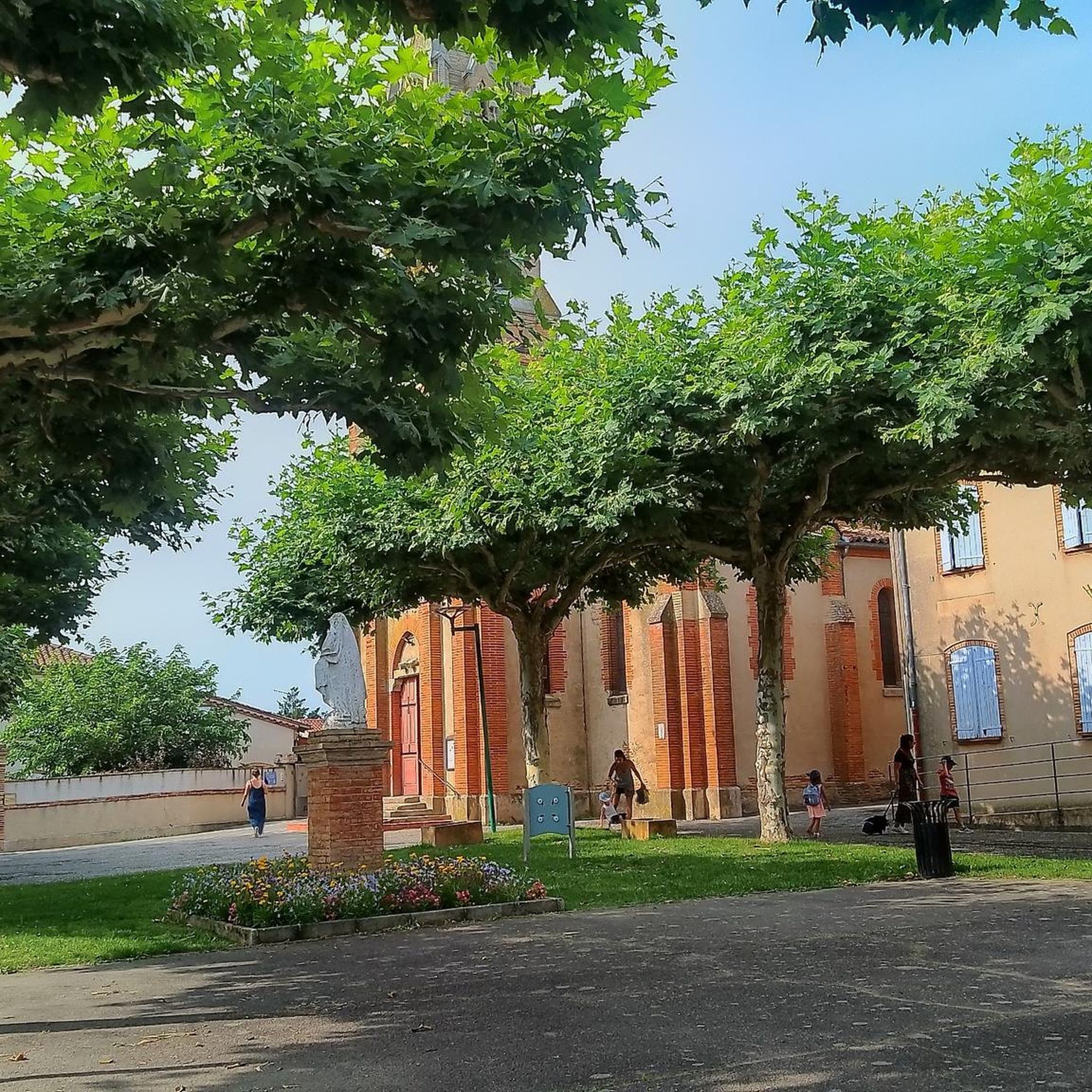

Tips from the Community

Do not pass through the private areas of the park to access the woods, go around to the left. Also, be aware of the archery course located on the right side of the site in the forest.
0
0

Magnificent castle which now houses the Regional Association for the Safeguarding of Children, Adolescents and Adults in a natural park.
3
0
Frequently Asked Questions
How many running routes are available in Saint-Étienne-De-Tulmont?
There are over 20 dedicated running routes around Saint-Étienne-De-Tulmont. These include a mix of moderate and difficult trails, offering options for various fitness levels.
What kind of terrain can I expect on the jogging trails in Saint-Étienne-De-Tulmont?
The terrain around Saint-Étienne-De-Tulmont features a varied landscape with an altitude range of 80m to 190m. This means you'll find a mix of relatively flat paths and gently undulating sections, characteristic of the Tarn-et-Garonne department. Many routes follow rural paths and offer views of the Aveyron valley.
Are there any challenging running routes for experienced joggers?
Yes, for experienced runners seeking a challenge, there are 4 difficult routes available. One notable option is the Albias Church loop from Saint-Étienne-de-Tulmont, which covers 16.5 km.
Can I find circular running routes in the area?
Absolutely. Many of the routes around Saint-Étienne-De-Tulmont are designed as loops. For example, you can explore the Running loop from Saint-Étienne-de-Tulmont or the Running loop from Proats Bas, both offering scenic circular paths.
What are some scenic points of interest or landmarks I might see while running?
While jogging, you'll experience the natural beauty of the Aveyron valley and rural landscapes. Some routes, like the Château de Pousinies loop from Château de Pousinies, pass by historical sites such as the Château de Pousinies. The broader region is known for its natural sites and picturesque villages.
What do other runners say about the trails in Saint-Étienne-De-Tulmont?
The running routes in Saint-Étienne-De-Tulmont are highly regarded by the komoot community, boasting an average score of 4.7 stars from over 7 reviews. Nearly 2000 runners have used komoot to explore the varied terrain, often praising the diverse landscapes and well-maintained paths.
Are there any attractions nearby that I can visit after my run?
Yes, the region offers several attractions. Just a short distance away is Montauban, a 'Grand Site d'Occitanie' and 'City of Art and History'. You could visit the historic Old Bridge, the Place Nationale, or the Saint-Pierre Church of Nègrepelisse. For more historical context, consider The Four Hundred Cannon Shots of Montauban.
Is there a route that connects to the Véloroute of the Valley and Gorges of the Aveyron?
While primarily a cycling route, sections of the Véloroute of the Valley and Gorges of the Aveyron, which connects Montauban to Laguépie, are known for well-marked paths and picturesque views. Some local jogging routes may connect to or run parallel to suitable sections of this scenic route, offering views of the Aveyron valley.
What is a good moderate-difficulty running route for a longer distance?
For a moderate-difficulty, longer run, consider the Château de Pousinies loop from Saint-Étienne-de-Tulmont. This trail is 13.2 km long and takes about 1 hour 21 minutes to complete, leading through rolling countryside.
What is the best time of year to go running in Saint-Étienne-De-Tulmont?
The Occitanie region, where Saint-Étienne-De-Tulmont is located, generally offers pleasant conditions for outdoor activities. Spring and autumn typically provide mild temperatures and beautiful scenery, making them ideal for running. Summer can be warm, so early morning or late evening runs are often preferred, while winter offers cooler, crisp conditions.
Are there any shorter running options for a quick workout?
Yes, for a quicker run, the Running loop from Proats Bas is a good choice. It's approximately 6.2 km long and can be completed in under 40 minutes, offering a moderate challenge.
Most popular routes around Saint-Étienne-De-Tulmont
Most popular attractions around Saint-Étienne-De-Tulmont

Get inspired with the komoot mobile app


Explore more
Browse the best Running Trails & Routes in other regions.
