The best road cycling routes around Fröningen
4.6
(310)
7,118
riders
358
rides
Road cycling routes around Fröningen traverse a landscape characterized by rolling hills, open plateaus, and scenic pond areas. The region offers varied terrain, from challenging climbs to more gentle routes through agricultural lands. Road cyclists can expect a mix of forested sections and open countryside, providing diverse riding experiences. The area's topography is well-suited for road cycling, with routes often connecting small villages and natural features.
Best road cycling routes around Fröningen
- The most popular road cycling route is Hundsruck…
Last updated: November 3, 2026
64
riders
103km
05:23
1,510m
1,510m
Hard road ride. Very good fitness required. Some segments of this route may be unpaved and difficult to ride.
5.0
(5)
60
riders
60.3km
02:31
290m
290m
Moderate road ride. Good fitness required. Mostly well-paved surfaces and easy to ride.

4.5
(2)
28
riders
72.0km
03:08
510m
510m
Moderate road ride. Good fitness required. Mostly well-paved surfaces and easy to ride.
3.0
(3)
39
riders
79.3km
03:22
520m
520m
Moderate road ride. Good fitness required. Some segments of this route may be unpaved and difficult to ride.
40
riders
95.9km
04:43
1,230m
1,230m
Hard road ride. Very good fitness required. Mostly well-paved surfaces and easy to ride.
Get access to more routes and recommendations from other explorers.
Already have an account?
Our route recommendations are based on thousands of hikes, rides, and runs completed by other people on komoot.
Start today with a free account
Your next adventure awaits.

Tips from the Community

The Col du Hunsrück (748 m) is a quiet and wooded pass above Willer-sur-Thur. The steady climb and beautiful nature make this a pleasant classic in the southern Vosges, with connections to both the Thur and Dollervallei valleys.
6
0

Altkirch Altkirch is the historic capital of the Sundgau and lies on a striking rocky spur above the valley of the Ill. The town's origins date back to the Middle Ages. The Counts of Ferrette built Altkirch into a fortified town; from 1215 onwards, it was protected by town walls and towers. The characteristic layout, narrow streets, and remnants of the fortifications have been preserved from this medieval town plan to this day. Particularly worth seeing is the Vieille Porte, a former town gate from around 1245. For centuries, Altkirch was an important administrative and commercial center of the Sundgau. After the destructions of the Thirty Years' War, numerous buildings were newly erected. The representative town hall dates from the 18th century, built in 1778 according to plans by the Swabian architect Jean Nissler. In the 19th century, the town continued to develop: alongside its traditional importance as a market and trading place, industrial enterprises emerged, including the well-known Gilardoni brickworks. The 20th century also left its mark. After the First World War, Altkirch became part of the re-Frenchified Alsace. The memory of this period is evident, among other things, at the Vieille Porte, where a Borne Vauthier commemorates the former front line of 1918. The original Altkirch war memorial from 1927 was destroyed during the German occupation in the Second World War; preserved parts were later integrated into a new memorial. Today, Altkirch, with around 6,000 inhabitants, is an important center of the Sundgau. The historic upper town with its old houses, remnants of fortifications, the town hall, and the Sundgau Museum continues to shape the townscape. Source: Ville d’Altkirch – History of the town
0
0

Hartmannswiller Kopf - Menschenfresser Kopf ( 30000 senseless victims ) Symbol of horror ( 1914-1918 )
0
0

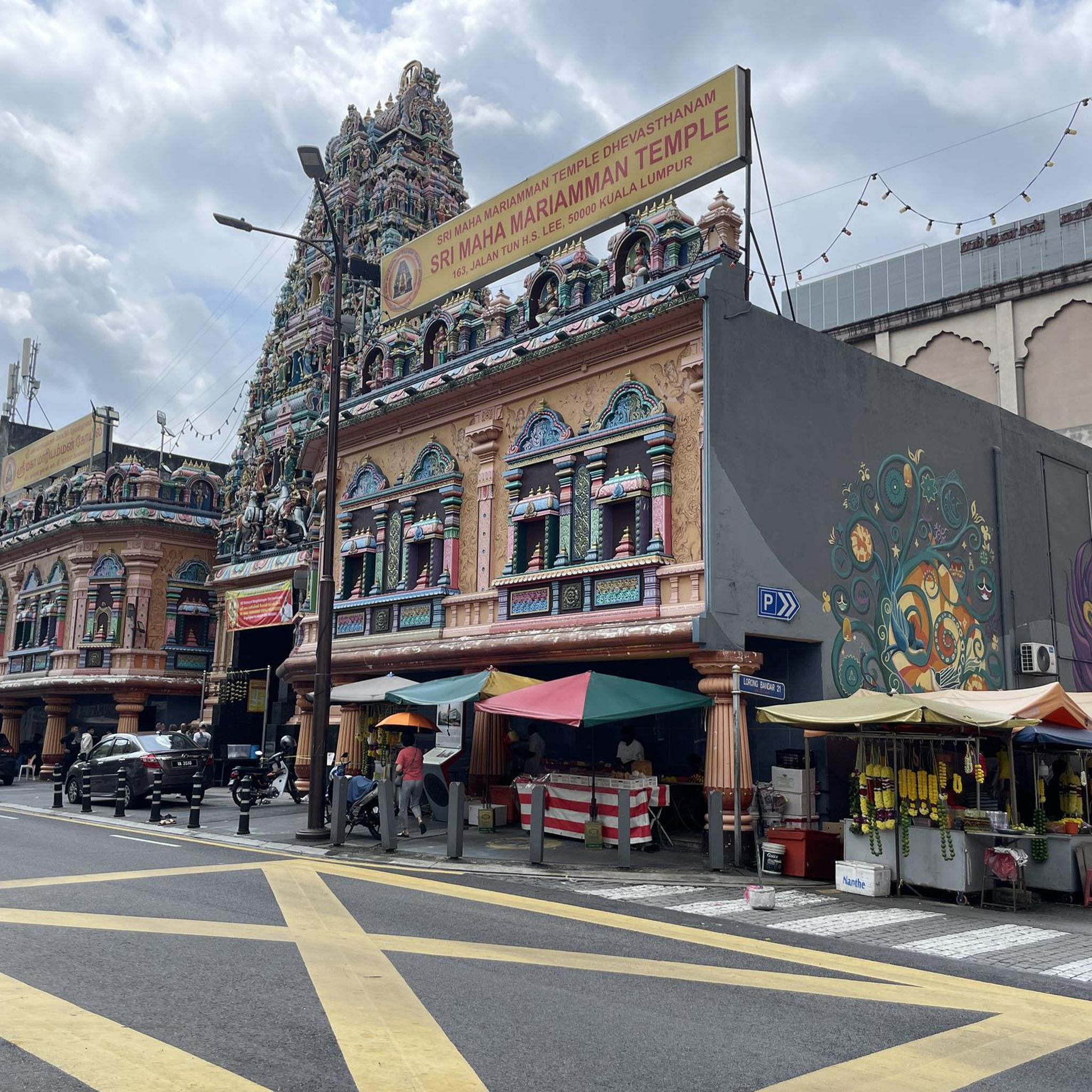
This old chapel was erected after the French Revolution on the old path to Thann and fell into disrepair over time. In 1932, the community decided to rebuild it. The current small building has a simple nave, an open porch, and a small bell tower with a bell. In front of the chapel stands a statue of the Virgin Mary, which underscores the character of the place as a pilgrimage and devotional site. The chapel is dedicated to the "Mother of God of Perpetual Help" and belongs to the typical small religious monuments of southern Alsace.
1
0

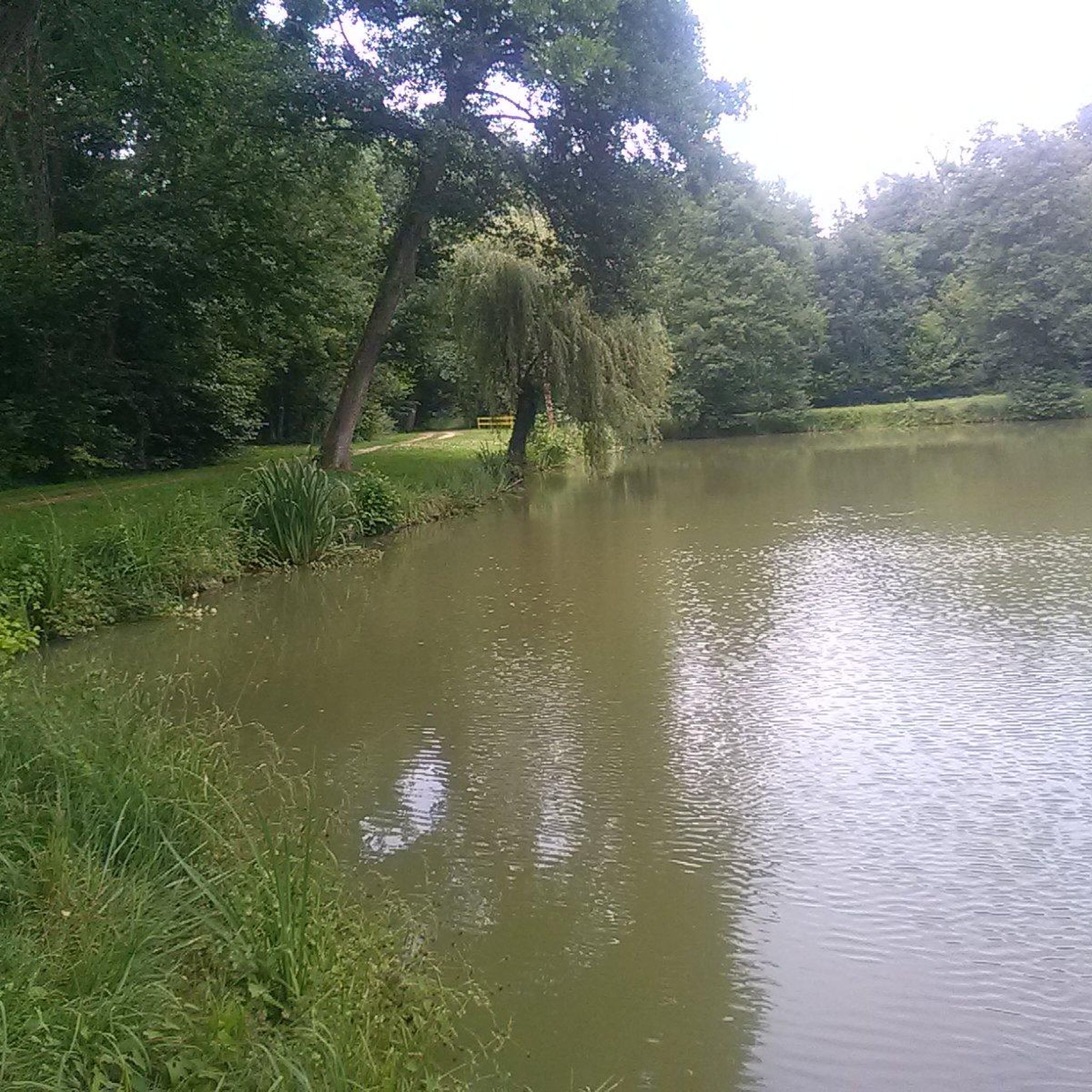
super nice path in the shade
0
0
it's fun to ride up there
0
0

Magnificent place with a great view of the surrounding hills!
0
0

The French and European National Cycleway is a great cycleway winding along side of the Rhine Rhone Canal with very little climbing, for those who do not like to climb. However those who are climbing shy, must be aware of the wind in this area. A lot of the locks still have the former lock man’s house which adds a bit of charm to every lock. One is never alone on this route as there is a constant passing of bicycles, both leisure and racing bikes.
0
0
Frequently Asked Questions
How many road cycling routes are available around Fröningen?
There are over 400 road cycling routes around Fröningen, offering a wide variety of options for different skill levels and preferences.
What are the general characteristics of road cycling terrain in Fröningen?
Road cycling routes around Fröningen are characterized by rolling hills, open plateaus, and scenic pond areas. You can expect a mix of forested sections and open countryside, often connecting small villages and natural features, providing diverse riding experiences.
Are there easy road cycling routes suitable for beginners in Fröningen?
Yes, Fröningen offers a good selection of routes suitable for beginners. Approximately 90 easy road cycling routes are available, allowing for more relaxed rides through the region's picturesque landscapes.
Where can I find challenging road cycling routes around Fröningen?
For experienced cyclists seeking a challenge, Fröningen has over 70 difficult road cycling routes. One such route is the Climb to Col Amic – Hundsruck loop from Illfurth, which features significant elevation gain and covers nearly 96 km.
Are there loop road cycling routes available in Fröningen?
Many road cycling routes in Fröningen are designed as loops, allowing you to start and end at the same point. An example is the Eglingen Lock – The Sundgau ponds loop from Illfurth, which offers a scenic ride around the Sundgau ponds.
What scenic views or landmarks can I expect on road cycling routes in Fröningen?
Road cycling routes in Fröningen often pass through picturesque agricultural lands, rolling hills, and scenic pond areas. You might encounter historical sites like the Zillisheim Drawbridge and Lock No. 35 or the Eglingen Lock, offering interesting sights along your ride.
Are there any historical sites or points of interest along the road cycling routes?
Yes, the region around Fröningen is dotted with historical points of interest. Cyclists can explore landmarks such as the Grand Cannon of Zillisheim or the Mulhouse Historical Museum, which are accessible from various routes.
What do other road cyclists enjoy about the routes in Fröningen?
The routes in Fröningen are highly rated by the komoot community, with an average score of 4.5 stars from over 300 reviews. Cyclists frequently praise the varied terrain, from challenging climbs to gentle rides through agricultural lands, and the scenic beauty of the rolling hills and pond landscapes.
What is the best time of year for road cycling in Fröningen?
The best time for road cycling in Fröningen is generally from spring to early autumn (April to October), when the weather is mild and the landscapes are vibrant. During these months, conditions are ideal for enjoying the region's open plateaus and forested sections.
Are there road cycling routes that explore the Sundgau ponds or plateau?
Absolutely. Routes like the Knoeringe > Jettingen – Sundgau Plateau Countryside loop from Zillisheim specifically lead through the Sundgau Plateau countryside. The Eglingen Lock – The Sundgau ponds loop from Illfurth also offers a beautiful ride around the region's characteristic pond areas.
Can I find family-friendly road cycling routes in Fröningen?
While specific 'family-friendly' designations aren't always explicit for road cycling, the region's easier routes, which number around 90, often feature less elevation and quieter roads, making them more suitable for families or those looking for a relaxed pace. These routes typically traverse agricultural lands and offer gentle scenery.
Where can I find parking for road cycling routes in Fröningen?
Many road cycling routes around Fröningen start from villages or towns like Illfurth or Zillisheim, where public parking options are usually available. It's advisable to check local parking regulations and availability at your chosen starting point.
Most popular attractions around Fröningen

Get inspired with the komoot mobile app


Explore more
Browse the best Road cycling routes in other regions.
